All places Photo: kallerna ↗ · CC BY-SA 4.0 ↗
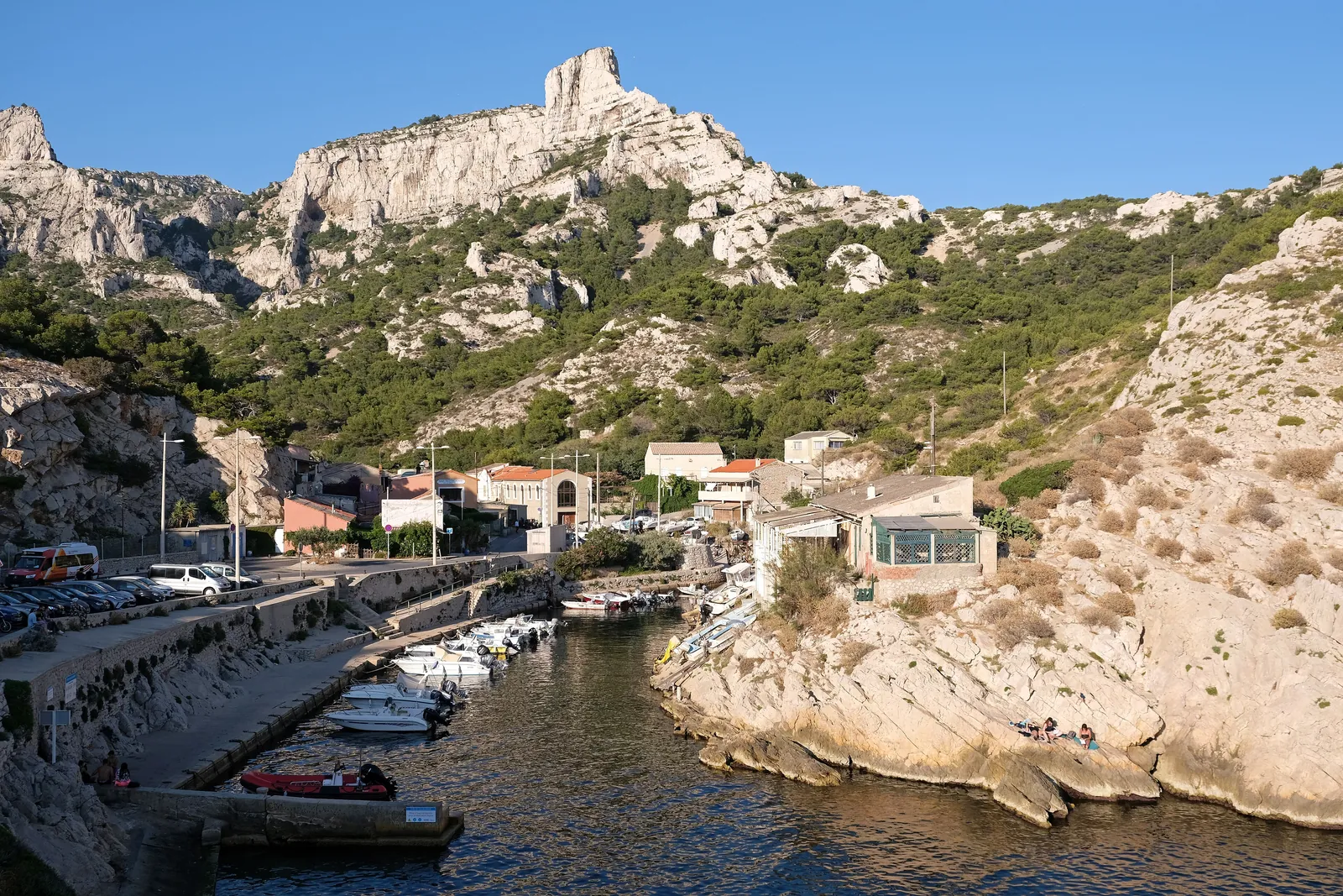
Callelongue The westernmost starting point of the Calanques, at the end of the road from Les Goudes. In summer 2026 the access road was closed to cars from 7:00 to 19:00.
Add to your Calanques National Park visit Open in OpenStreetMap ↗ Location source ↗
43.21123, 5.35233
All places
Île Maïre Rocky island at the western end of the park; visible from the water.
Add to your Calanques National Park visit Open in OpenStreetMap ↗ Location source ↗
43.21048, 5.33434
All places
Île de Riou Landing only on Riou island between sunrise and sunset and only between the Fontagne and Monastério calanques; dogs prohibited.
Add to your Calanques National Park visit Open in OpenStreetMap ↗ Location source ↗
43.17574, 5.38976
All places Photo: Benjamin Smith ↗ · CC BY-SA 4.0 ↗
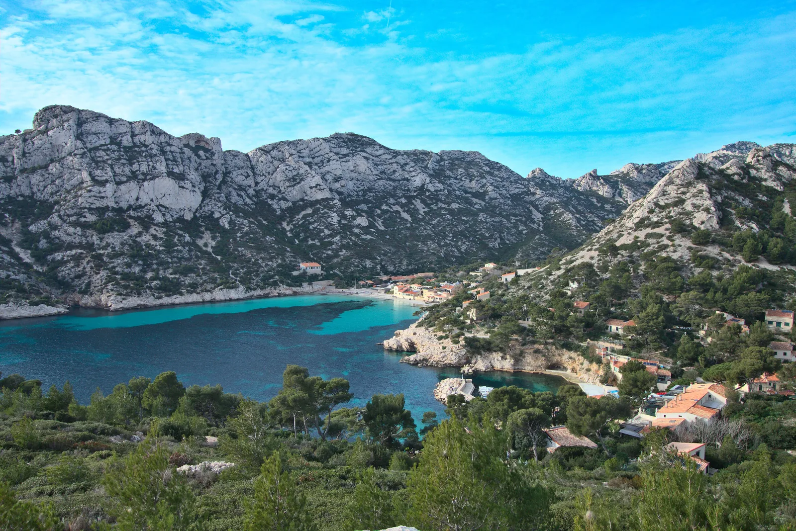
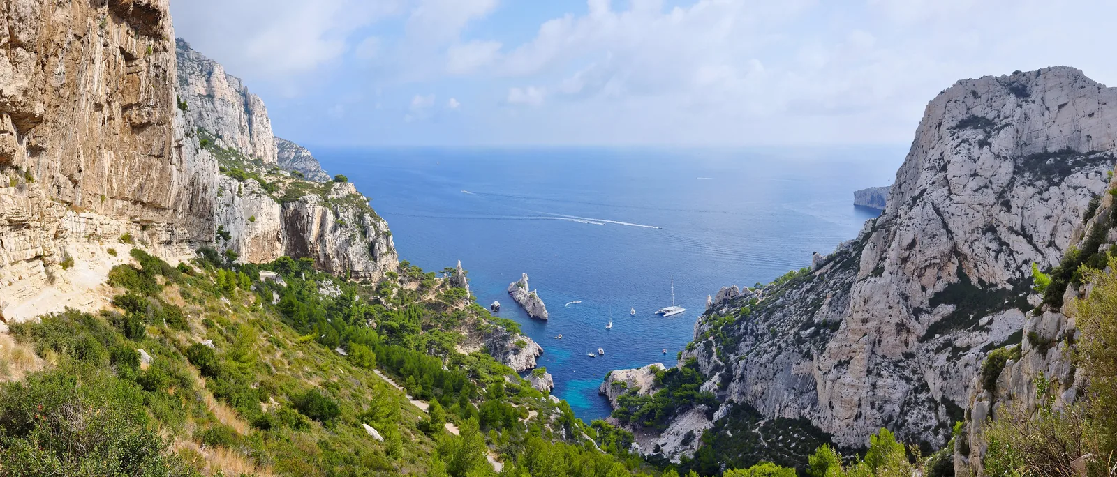
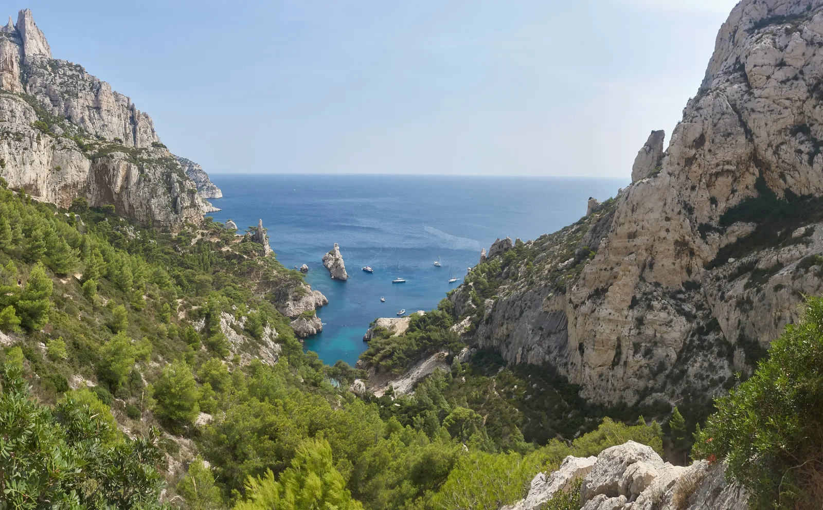
Calanque de Sormiou One of the two lifeguarded swimming spots in the park. Around 45 minutes on foot from bus 23 or 22.
The largest calanque in the west, with a beach and lifeguards in summer.
From bus 23/22 around 45 minutes on foot
Lifeguards in summer
Road in summer closed to cars during the day Add to your Calanques National Park visit Open in OpenStreetMap ↗ Location source ↗
43.20890, 5.42391
All places Photo: Tobi 87 ↗ · CC BY-SA 3.0 ↗
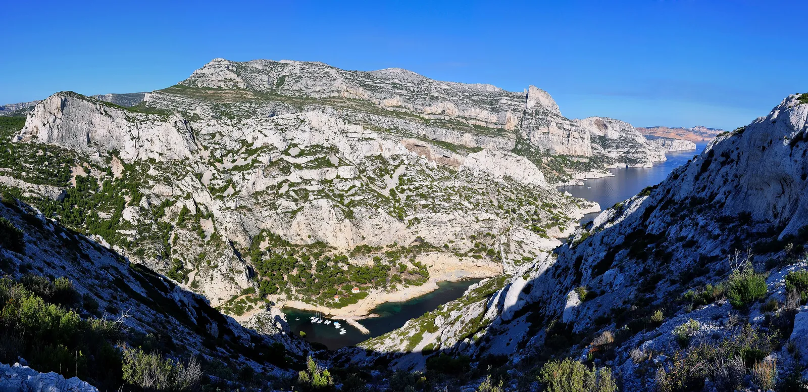
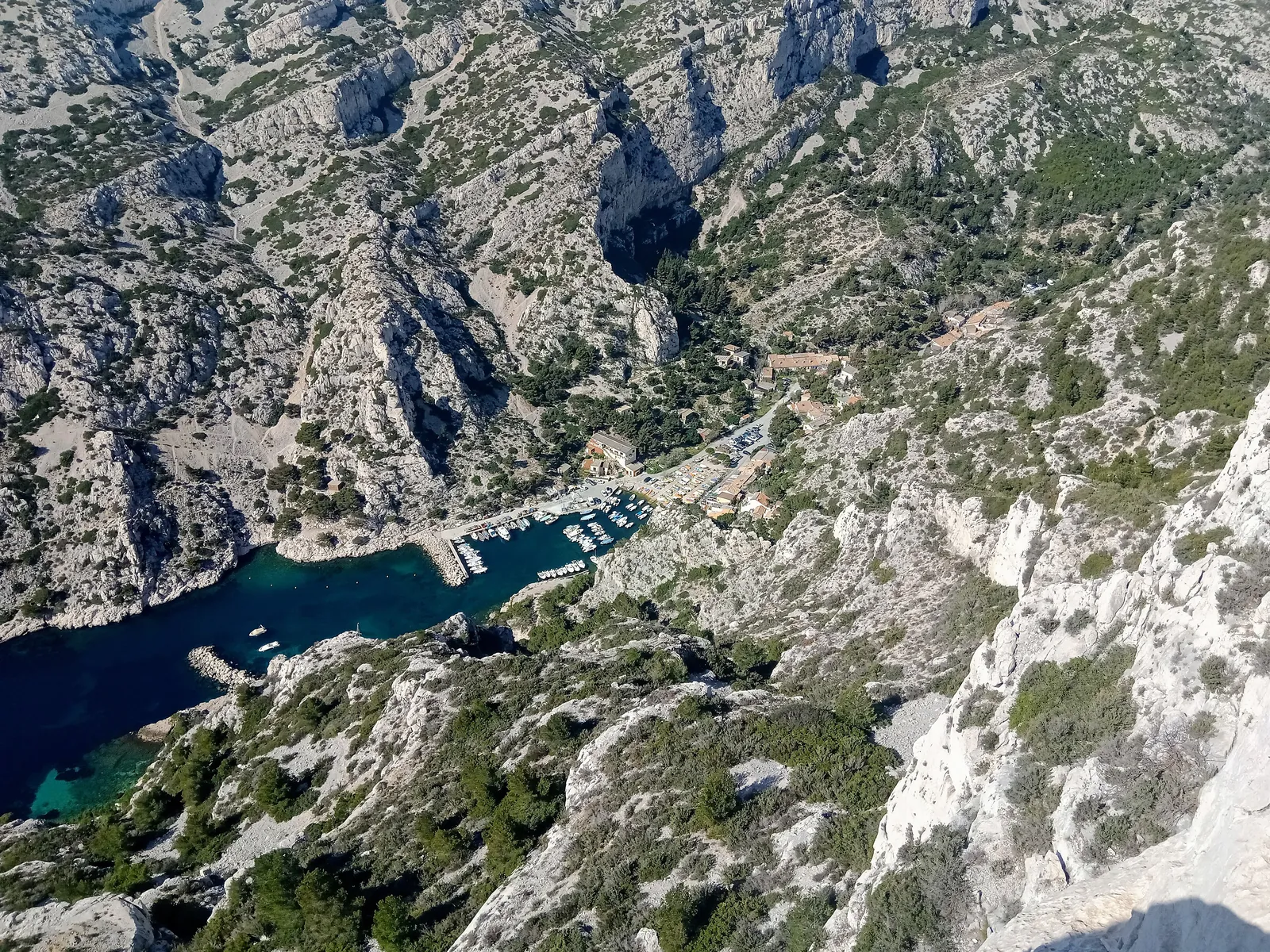
Calanque de Morgiou Around one hour on foot from the terminus of bus 22.
Add to your Calanques National Park visit Open in OpenStreetMap ↗ Location source ↗
43.21143, 5.44576
All places Photo: Tobi 87 ↗ · CC BY-SA 3.0 ↗
Luminy – PN des Calanques (bus B1) Stop of RTM line B1 at the Luminy campus; the path to Sugiton starts here.
Own page
Calanque de Sugiton Two tiny beaches below the Belvédère, an islet called Torpilleur – and in high summer a reservation, so that 2,500 people a day no longer turn up.
Calanque de Sugiton: days with mandatory reservation in 2026 20 and 21 June required 27 June to 30 August, daily required 5 and 6 September required
Reservation & path
Guided from here · Ad
Partner links: we may earn a commission if you book – at no extra cost to you. Thank you for supporting the atlas. Dates and prices with the provider.
Add to your Calanques National Park visit Open in OpenStreetMap ↗ Location source ↗
43.23164, 5.43723
All places Photo: Rémih ↗ · CC BY-SA 4.0 ↗
Belvédère de Sugiton According to the park, one of the finest views in the national park, around 30 minutes from Luminy.
Own page
Calanque de Sugiton Two tiny beaches below the Belvédère, an islet called Torpilleur – and in high summer a reservation, so that 2,500 people a day no longer turn up.
Reservation & path
Add to your Calanques National Park visit Open in OpenStreetMap ↗ Location source ↗
43.21397, 5.44766
All places Photo: Celuici ↗ · CC BY-SA 3.0 ↗
Calanque de Sugiton Two small coves with tiny beaches by the islet of Le Torpilleur; on peak summer days only with a free reservation.
Two small coves below the Belvédère, marked by the islet of Le Torpilleur.
Belvédère 245 m (804 ft)
From Luminy 30 min to the Belvédère, 45 min to the calanque
Reservation High summer, free
Visitors 200,000–300,000 a year Own page
Calanque de Sugiton Two tiny beaches below the Belvédère, an islet called Torpilleur – and in high summer a reservation, so that 2,500 people a day no longer turn up.
Reservation & path
Add to your Calanques National Park visit Open in OpenStreetMap ↗ Location source ↗
43.21102, 5.45507
All places
Mont Puget Highest summit of the Massif des Calanques, above Sugiton and Morgiou.
Own page
Calanque de Sugiton Two tiny beaches below the Belvédère, an islet called Torpilleur – and in high summer a reservation, so that 2,500 people a day no longer turn up.
Reservation & path
Add to your Calanques National Park visit Open in OpenStreetMap ↗ Location source ↗
43.22224, 5.45856
All places
Mont Carpiagne According to the park authority, the highest point of the national park; the summit lies within the Camp de Carpiagne military area.
Add to your Calanques National Park visit Open in OpenStreetMap ↗ Location source ↗
43.25371, 5.47052
All places
Col de la Gineste Pass on the Marseille–Cassis road (D559), north of the Calanques.
Add to your Calanques National Park visit Open in OpenStreetMap ↗ Location source ↗
43.24026, 5.45776
All places Photo: Tobi 87 ↗ · CC BY-SA 3.0 ↗
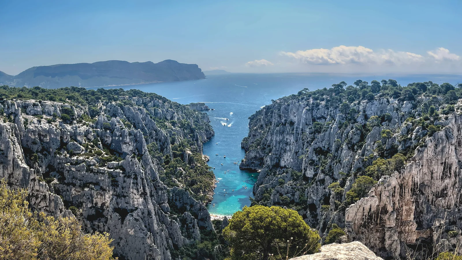
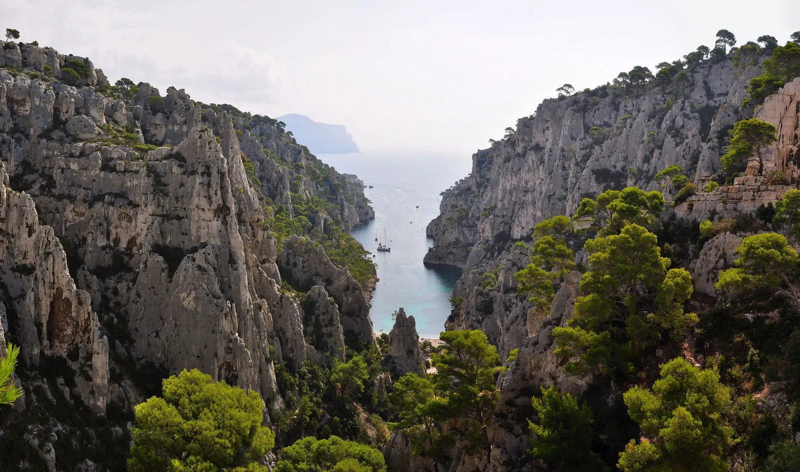
Calanque d’En-Vau The narrowest and best-known calanque; 1.5 to 2 hours on foot from Cassis. Nobody has been allowed to land from a boat since the 2000s.
The narrowest calanque, between vertical walls, with a beach at the end.
Belvédère 170 m (558 ft)
Path via Port-Pin 7.8 km (4.8 mi), 3 hours
From Cassis 1.5 to 2 hours
Landing by boat prohibited Own page
Calanque d’En-Vau The narrowest of the Calanques: vertical limestone walls, a beach at the end and no jetty – you can only get in on foot.
Path, Belvédère & boat
Add to your Calanques National Park visit Open in OpenStreetMap ↗ Location source ↗
43.20097, 5.50108
All places
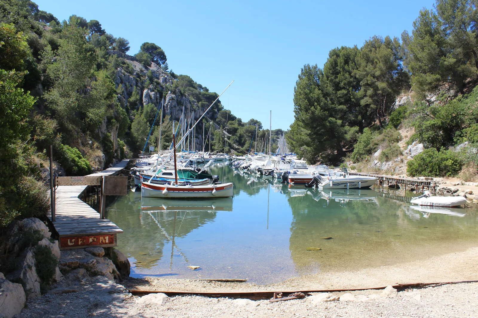
Calanque de Port-Pin Between Port-Miou and En-Vau, around 45 minutes from Cassis; protected since 1936.
Add to your Calanques National Park visit Open in OpenStreetMap ↗ Location source ↗
43.20207, 5.50953
All places Photo: Chabe01 ↗ · CC BY-SA 4.0 ↗
Calanque de Port-Miou The only calanque within the municipality of Cassis, 1,400 m (4,593 ft) long. Works until June 2027, with a detour via Port-Pin.
The long harbour inlet right next to Cassis.
Length 1,400 m (4,593 ft)
From Cassis around 30 minutes on foot
Works until June 2027 Own page
Calanque d’En-Vau The narrowest of the Calanques: vertical limestone walls, a beach at the end and no jetty – you can only get in on foot.
Path, Belvédère & boat
Add to your Calanques National Park visit Open in OpenStreetMap ↗ Location source ↗
43.20504, 5.51468
All places
Cassis harbour Departure point of the Bateliers Cassidens boat trips to the Calanques.
Add to your Calanques National Park visit Open in OpenStreetMap ↗ Location source ↗
43.21395, 5.53596
All places Photo: Pierre Goiffon ↗ · CC BY-SA 4.0 ↗
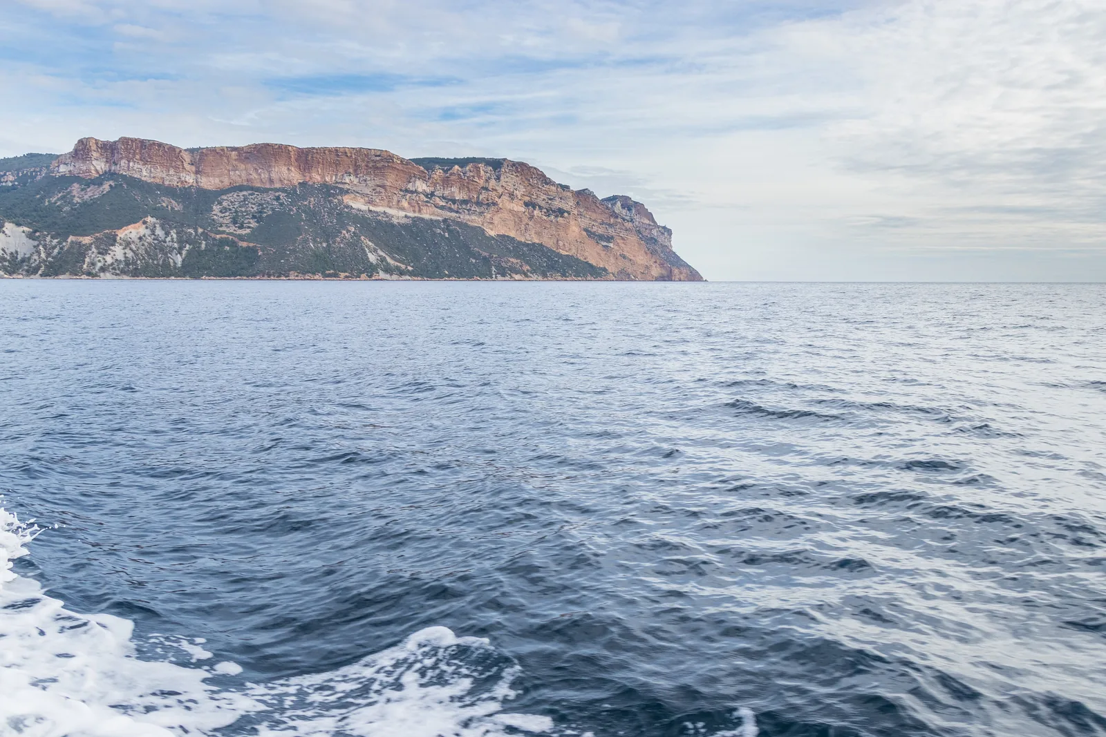
Cap Canaille The red cliffs between Cassis and La Ciotat, reached via the Route des Crêtes.
Red cliffs between Cassis and La Ciotat, with a road along the ridge.
Route des Crêtes closed on red days
Sundays until the end of September pedestrians only Add to your Calanques National Park visit Open in OpenStreetMap ↗ Location source ↗
43.19937, 5.54778
All places
Belvédère des Calanques (Route des Crêtes) On red days in the Cap Canaille massif, the Route des Crêtes is closed from 1 June to 30 September.
Add to your Calanques National Park visit Open in OpenStreetMap ↗ Location source ↗
43.19974, 5.55230
All places
Calanque de Figuerolles Calanque on the eastern edge of the park near La Ciotat.
Add to your Calanques National Park visit Open in OpenStreetMap ↗ Location source ↗
43.16695, 5.59728
All places
Maison du Parc (Villa Michel Simon) The first Maison du Parc, at the entrance to the core zone in La Ciotat.
Add to your Calanques National Park visit Open in OpenStreetMap ↗ Location source ↗
43.16977, 5.59132
All places
Vieux-Port Marseille Departure point for many boat trips into the Calanques; outside the park.
Guided from here · Ad
Partner links: we may earn a commission if you book – at no extra cost to you. Thank you for supporting the atlas. Dates and prices with the provider.
Add to your Calanques National Park visit Open in OpenStreetMap ↗ Location source ↗
43.29458, 5.36928
All places Photo: Tobi 87 ↗ · CC BY-SA 3.0 ↗
Calanque d’En-Vau The narrowest of the Calanques: vertical limestone walls, a beach at the end and no jetty – you can only get in on foot.
Own page
Calanque d’En-Vau The narrowest of the Calanques: vertical limestone walls, a beach at the end and no jetty – you can only get in on foot.
Calanque d’En-Vau: what a visit costs (as of 5 Oct 2026) National park entrance free Gorguettes car park, Cassis free Shuttle Gorguettes–Presqu’île, return €1.60
Path, Belvédère & boat
Guided from here · Ad
Partner links: we may earn a commission if you book – at no extra cost to you. Thank you for supporting the atlas. Dates and prices with the provider.
Add to your Calanques National Park visit Open in OpenStreetMap ↗ Location source ↗
43.23102, 5.53398
All places
Presqu’île car park Car park on the peninsula above Port-Miou; kayak tours also start here.
Own page
Calanque d’En-Vau The narrowest of the Calanques: vertical limestone walls, a beach at the end and no jetty – you can only get in on foot.
Path, Belvédère & boat
Guided from here · Ad
Partner links: we may earn a commission if you book – at no extra cost to you. Thank you for supporting the atlas. Dates and prices with the provider.
Add to your Calanques National Park visit Open in OpenStreetMap ↗ Location source ↗
43.20655, 5.51934
All places
Château de Port-Miou Information point at the start of the path to the Calanques.
Own page
Calanque d’En-Vau The narrowest of the Calanques: vertical limestone walls, a beach at the end and no jetty – you can only get in on foot.
Path, Belvédère & boat
Add to your Calanques National Park visit Open in OpenStreetMap ↗ Location source ↗
43.20860, 5.51800
All places
Plage de Port-Pin Around 45 minutes from Cassis. According to the park, the descent is slippery and sharp-edged.
Own page
Calanque d’En-Vau The narrowest of the Calanques: vertical limestone walls, a beach at the end and no jetty – you can only get in on foot.
Path, Belvédère & boat
Add to your Calanques National Park visit Open in OpenStreetMap ↗ Location source ↗
43.20395, 5.51067
All places
Belvédère d’En-Vau View straight down into the calanque; around an hour’s walk down.
Own page
Calanque d’En-Vau The narrowest of the Calanques: vertical limestone walls, a beach at the end and no jetty – you can only get in on foot.
Path, Belvédère & boat
Add to your Calanques National Park visit Open in OpenStreetMap ↗ Location source ↗
43.20410, 5.49457
All places
Plage d’En-Vau No lifeguards, no water and no toilets; in summer up to 1,200 people at once.
Own page
Calanque d’En-Vau The narrowest of the Calanques: vertical limestone walls, a beach at the end and no jetty – you can only get in on foot.
Path, Belvédère & boat
Add to your Calanques National Park visit Open in OpenStreetMap ↗ Location source ↗
43.20234, 5.49810
All places
Col de l’Oule The path from the Belvédère down into the Vallon d’En-Vau crosses this saddle.
Own page
Calanque d’En-Vau The narrowest of the Calanques: vertical limestone walls, a beach at the end and no jetty – you can only get in on foot.
Path, Belvédère & boat
Add to your Calanques National Park visit Open in OpenStreetMap ↗ Location source ↗
43.21026, 5.49123
All places
Col de la Gardiole Access from the north; the road to the Gardiole is closed all year, so you park on the RD 559.
Own page
Calanque d’En-Vau The narrowest of the Calanques: vertical limestone walls, a beach at the end and no jetty – you can only get in on foot.
Path, Belvédère & boat
Add to your Calanques National Park visit Open in OpenStreetMap ↗ Location source ↗
43.22739, 5.50429
All places
Écogardes hut Small park hut at the start of the path.
Own page
Calanque de Sugiton Two tiny beaches below the Belvédère, an islet called Torpilleur – and in high summer a reservation, so that 2,500 people a day no longer turn up.
Reservation & path
Add to your Calanques National Park visit Open in OpenStreetMap ↗ Location source ↗
43.22960, 5.43722
All places
Col de Sugiton Crossing on the path from the campus to the Belvédère.
Own page
Calanque de Sugiton Two tiny beaches below the Belvédère, an islet called Torpilleur – and in high summer a reservation, so that 2,500 people a day no longer turn up.
Reservation & path
Add to your Calanques National Park visit Open in OpenStreetMap ↗ Location source ↗
43.21875, 5.44706
All places
Le Torpilleur The islet by which you recognise the Calanque de Sugiton.
Own page
Calanque de Sugiton Two tiny beaches below the Belvédère, an islet called Torpilleur – and in high summer a reservation, so that 2,500 people a day no longer turn up.
Reservation & path
Add to your Calanques National Park visit Open in OpenStreetMap ↗ Location source ↗
43.21048, 5.45654
All places
Pierres Tombées Part of the reservation zone; climbing is permanently prohibited here.
Own page
Calanque de Sugiton Two tiny beaches below the Belvédère, an islet called Torpilleur – and in high summer a reservation, so that 2,500 people a day no longer turn up.
Reservation & path
Add to your Calanques National Park visit Open in OpenStreetMap ↗ Location source ↗
43.21145, 5.45713
All places
Port de Morgiou Neighbouring cove to the west, with its own access from bus 22.
Own page
Calanque de Sugiton Two tiny beaches below the Belvédère, an islet called Torpilleur – and in high summer a reservation, so that 2,500 people a day no longer turn up.
Reservation & path
Add to your Calanques National Park visit Open in OpenStreetMap ↗ Location source ↗
43.21271, 5.44377