All places Photo: Jorge Láscar from Melbourne, Australia ↗ · CC BY 2.0 ↗
Main Gate The main gate at the northern tip of the park, 121 kilometres (75 mi) of tarmac road from Arusha according to the park brochure. This is where you register and pay; the headquarters with the authority's cottages, hostel and rest house is just behind it.
Everyone driving from Arusha arrives here, and this is where the authority's accommodation stands.
From Arusha 121 km (75 mi) according to the brochure, 118 to 120 km according to the accommodation record
Accommodation run by the authority Cottages, rest house, hostel
Campsite 76,650 TZS per person per night
Airstrip at headquarters according to OpenStreetMap Add to your Tarangire National Park visit Open in OpenStreetMap ↗ Location source ↗
-3.73778, 35.97093
All places
Headquarters airstrip The airstrip near the headquarters, listed in OpenStreetMap as Tarangire Headquarters Airstrip with an unsealed surface.
Add to your Tarangire National Park visit Open in OpenStreetMap ↗ Location source ↗
-3.75619, 35.96768
All places
Public campsite at headquarters A public campsite run by the park authority near the main gate. The authority describes its site at headquarters as having pit latrines and water points; 76,650 shillings per person per night.
Add to your Tarangire National Park visit Open in OpenStreetMap ↗ Location source ↗
-3.77927, 35.96458
All places
Public Campsite #2 A second public campsite, listed in OpenStreetMap with TANAPA as operator. The authority lists two public sites named Simba.
Add to your Tarangire National Park visit Open in OpenStreetMap ↗ Location source ↗
-3.72726, 35.98798
All places
Tarangire Safari Lodge The privately run lodge on a bluff above the Tarangire River at Matete, about 10 kilometres (6 mi) from the main gate according to the authority.
Add to your Tarangire National Park visit Open in OpenStreetMap ↗ Location source ↗
-3.77046, 36.02137
All places Surroundings Photo: Roburq ↗ · CC BY-SA 3.0 ↗
Matete picnic site A picnic site run by the park authority in the north, on the edge of the river valley. OpenStreetMap lists a viewpoint next to it.
Add to your Tarangire National Park visit Open in OpenStreetMap ↗ Location source ↗
-3.78559, 36.04699
All places Photo: Fadez (Diskussion) ↗ · CC BY-SA 3.0 ↗
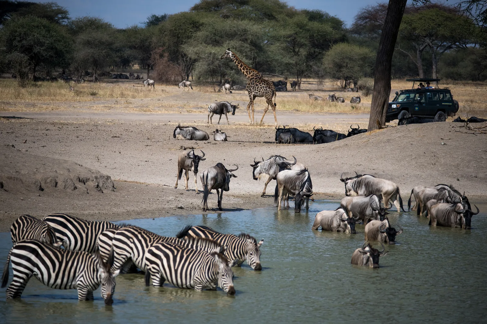
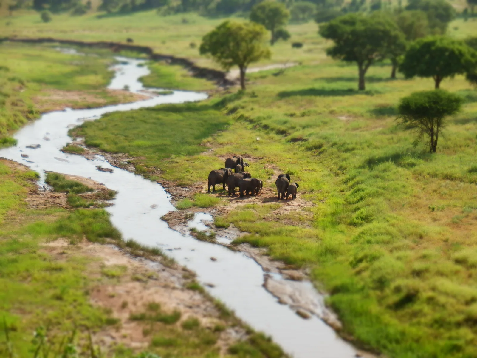
Tarangire River The river that gives the park its name. It flows north into Lake Burunge; in the dry season it draws animals from the whole region.
The river that gives the park its name, and where the herds gather in the dry season.
Direction north into Lake Burunge
Best time dry season June to October
Picnic Matete, site run by the authority
Lodge Tarangire Safari Lodge above the river Add to your Tarangire National Park visit Open in OpenStreetMap ↗ Location source ↗
-3.82727, 36.05477
All places
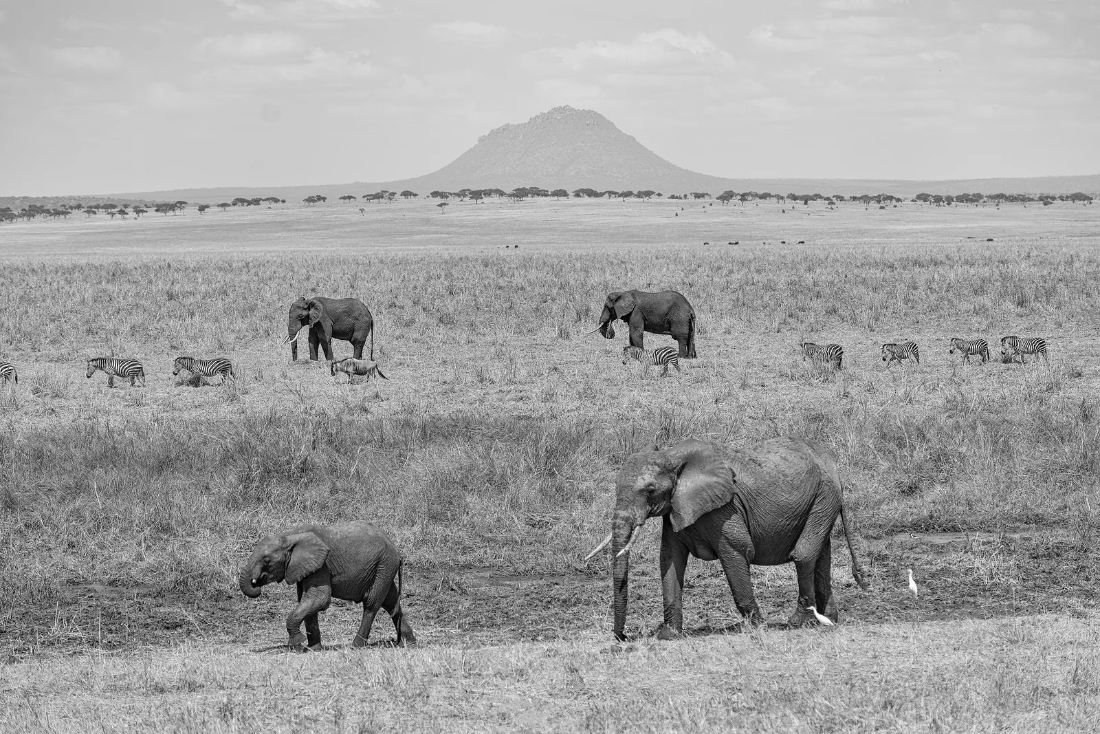
Tarangire Hill A hill in the middle of the northern section, 1,285 metres (4,216 ft) high according to OpenStreetMap, marked as a landmark on the map in the park brochure.
Add to your Tarangire National Park visit Open in OpenStreetMap ↗ Location source ↗
-3.91233, 36.04376
All places
Buffalo Pool A waterhole west of Tarangire Hill, listed in OpenStreetMap as Buffalo Pool.
Add to your Tarangire National Park visit Open in OpenStreetMap ↗ Location source ↗
-3.90946, 36.01193
All places
Maweninga A private tented camp stands on the granite kopjes of Maweninga; the authority mentions its view of Lake Burunge. Maweninga is also one of the seasonal campsites.
Add to your Tarangire National Park visit Open in OpenStreetMap ↗ Location source ↗
-3.90684, 35.99577
All places
Tarangire Sopa Lodge The privately run lodge lies about 30 kilometres (19 mi) from the main gate according to the authority, with access to the wildlife-rich central parts of the park.
Add to your Tarangire National Park visit Open in OpenStreetMap ↗ Location source ↗
-3.90739, 36.09508
All places
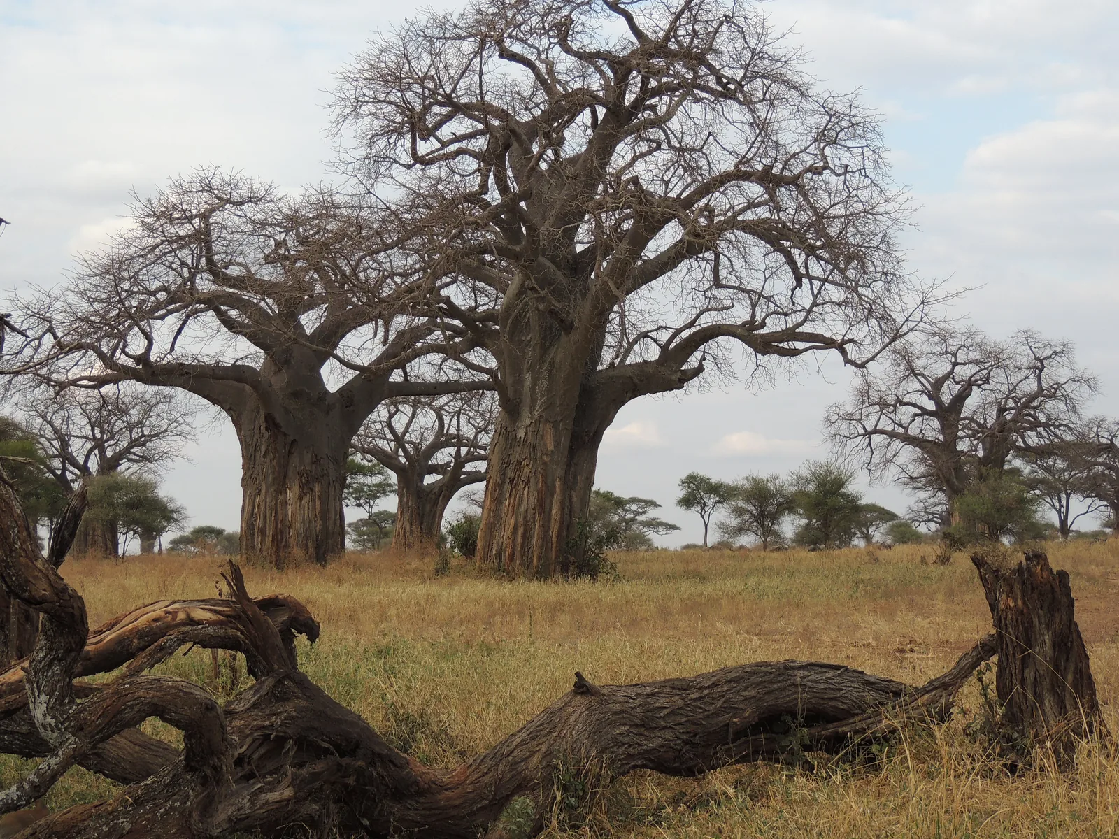
Poachers Hide A hollow baobab marked as an attraction on the map in the park brochure; listed in OpenStreetMap as Poachers' Baobab Hide.
Add to your Tarangire National Park visit Open in OpenStreetMap ↗ Location source ↗
-3.96527, 36.02934
All places
Elephant Springs A spring the authority describes as a key watering point; a private camp lies nearby.
Add to your Tarangire National Park visit Open in OpenStreetMap ↗ Location source ↗
-4.00660, 36.01109
All places
Kuro airstrip The airstrip in the middle of the park, operated by TANAPA according to OpenStreetMap. According to the park brochure, charter flights come here from Arusha.
Add to your Tarangire National Park visit Open in OpenStreetMap ↗ Location source ↗
-4.00805, 36.07531
All places
Kuro ranger post The ranger post at Kuro in the middle of the park.
Add to your Tarangire National Park visit Open in OpenStreetMap ↗ Location source ↗
-4.01542, 36.07123
All places Photo: Eric Kilby ↗ · CC BY-SA 2.0 ↗
Silale Swamp One of the three swamps linked to the river according to the park brochure. The authority calls the river and the permanent swamps the critical water sources in the dry season.
The middle of the park: a permanent swamp, an airstrip and camps far from the gate.
Silale permanent swamp by the river
Kuro airstrip run by the authority, ranger post
Getting there charter flight from Arusha to Kuro
Picnic Silale Picnic Site according to OpenStreetMap Add to your Tarangire National Park visit Open in OpenStreetMap ↗ Location source ↗
-4.01954, 36.14028
All places
Silale picnic site A picnic site on the western edge of Silale Swamp.
Add to your Tarangire National Park visit Open in OpenStreetMap ↗ Location source ↗
-4.02110, 36.11887
All places
Gurusi Swamp Gurusi Swamp in the south; the authority lists it as one of the swamps along the river.
Add to your Tarangire National Park visit Open in OpenStreetMap ↗ Location source ↗
-4.10227, 35.98151
All places
Lamakau Swamp Lamakau Swamp in the south-east, spelt Lormakau in OpenStreetMap; the authority lists it as the third swamp along the river.
Add to your Tarangire National Park visit Open in OpenStreetMap ↗ Location source ↗
-4.18197, 36.19780
All places
Sangaiwe Gate A gate on the western boundary near Lake Burunge, listed in OpenStreetMap as Sangaiwe Gate; the park brochure marks a ranger post here.
Add to your Tarangire National Park visit Open in OpenStreetMap ↗ Location source ↗
-3.94833, 35.87071
All places
Sangaiwe Hills The hills on the western boundary of the park, marked on the map in the park brochure.
Add to your Tarangire National Park visit Open in OpenStreetMap ↗ Location source ↗
-4.03213, 35.85662
All places
Kitibong Hill A hill in the west, 1,411 metres (4,629 ft) high according to OpenStreetMap.
Add to your Tarangire National Park visit Open in OpenStreetMap ↗ Location source ↗
-4.05688, 35.93767
All places
Kware Special Campsite One of the authority's eight special campsites; you bring your own equipment.
Add to your Tarangire National Park visit Open in OpenStreetMap ↗ Location source ↗
-3.80912, 35.97788
All places
Hondo Hondo Special Campsite A special campsite run by the authority in the south, near Silale Swamp.
Add to your Tarangire National Park visit Open in OpenStreetMap ↗ Location source ↗
-4.09105, 36.11037
All places
Swala A private tented camp in the Gurusi area in the south; the authority describes the location as remote.
Add to your Tarangire National Park visit Open in OpenStreetMap ↗ Location source ↗
-4.13036, 35.95192
All places
Lake Burunge The lake beyond the western boundary into which the Tarangire River flows; spelt Lake Burungi in OpenStreetMap. It lies in the Burunge Wildlife Management Area, not in the national park.
Add to your Tarangire National Park visit Open in OpenStreetMap ↗ Location source ↗
-3.87437, 35.88458