National Parks Atlas
To the park
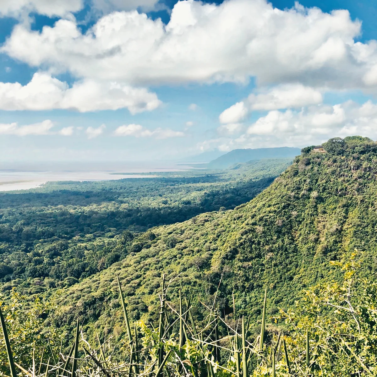
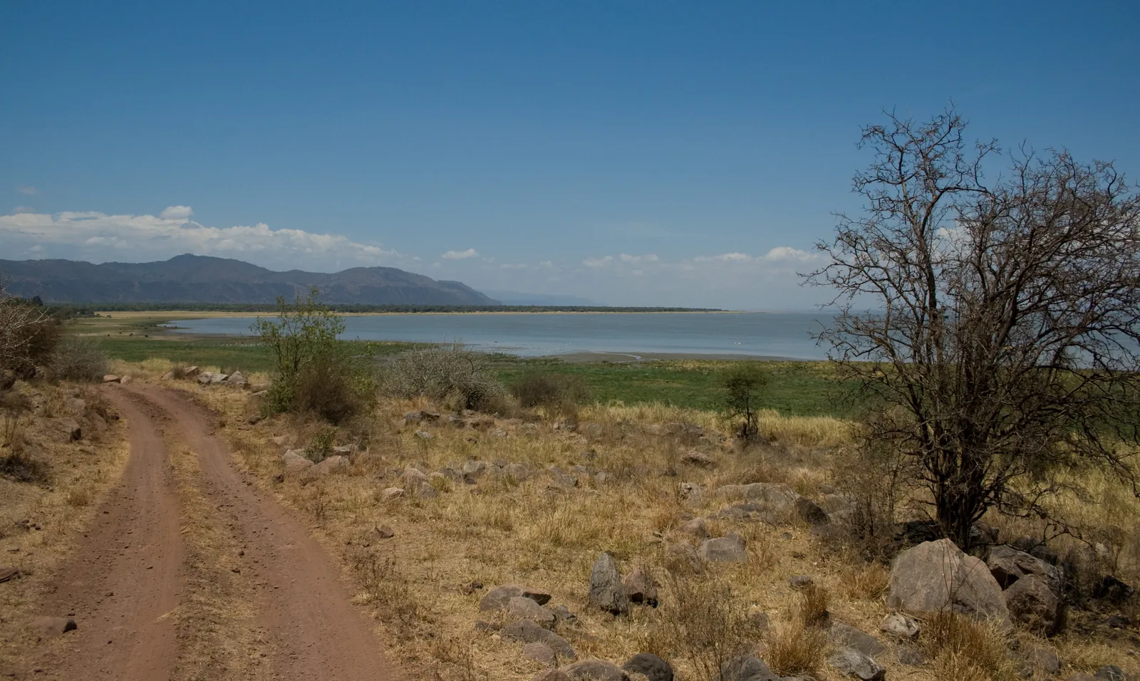
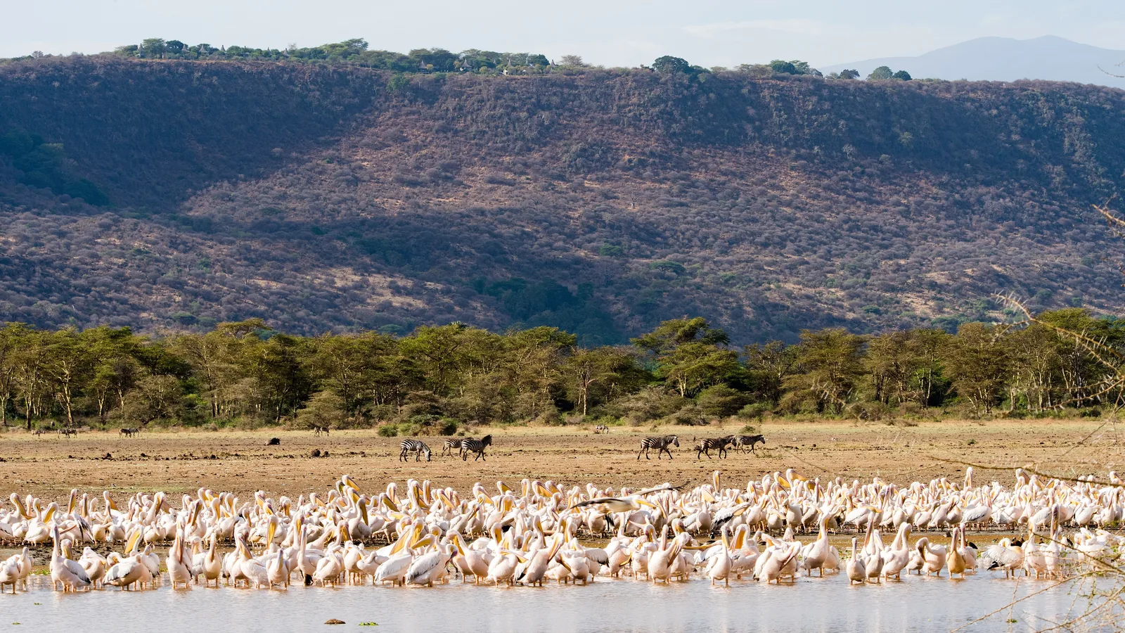
Pelicans crowd the shore of Lake Manyara in Lake Manyara National Park, with zebras, a strip of forest and the Rift Valley wall behind

Lake Manyara: map

19 places with verified coordinates · 5 with photo

Bookable in the park · 3

Ad · partner links: we may earn a commission if you book – at no extra cost to you. Thank you for supporting the atlas. Offer details checked 5 Oct 2026; dates and prices with the provider.

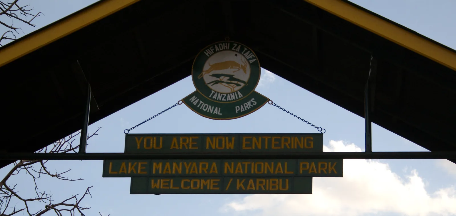
Archway at the main entrance to Lake Manyara National Park with the sign “You are now entering Lake Manyara National Park – Welcome/Karibu” and the park emblem
Photo: Fanny Schertzer ↗ · CC BY 2.5 ↗

Arrival · Main entrance in the north

Lake Manyara main gate

The gate at the northern end of the park, just under two kilometres west of Mto wa Mbu on the road from Arusha. Permit and vehicle fee are paid here; right behind the gate the track enters the groundwater forest.

Open in OpenStreetMap ↗Location source ↗

-3.37158, 35.83946

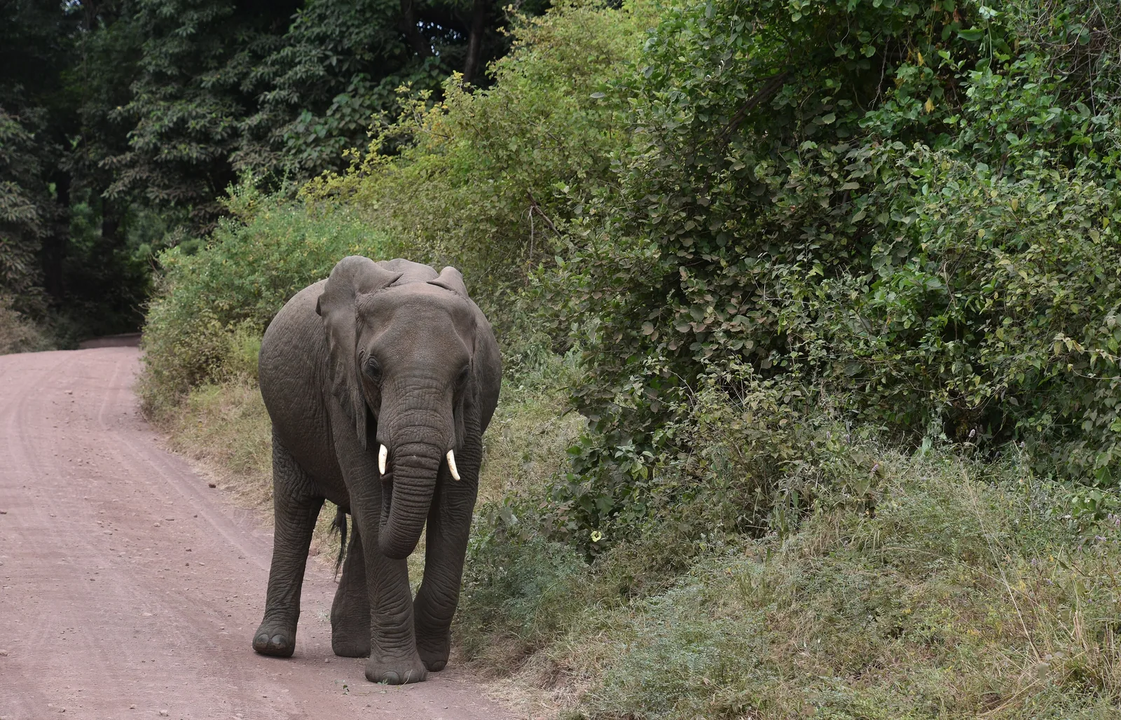
An elephant walks along a red track in Lake Manyara National Park, with dense green forest on both sides
Photo: Richard Mortel ↗ · CC BY 2.0 ↗

Water · Suspension bridges above the groundwater forest

Treetop Walkway

A path of suspension bridges up to 18 m (59 ft) above the forest, 470 m long according to the park page and 400 m according to the brochure. It is walked with a guide and takes one to one and a half hours; its visitor centre is near the gate.

Right behind the gate: an evergreen forest fed by spring water, and a path through its canopy.

Location
north, directly behind the main gate
Treetop walkway
up to 18 m high, 400 to 470 m long
Duration
1 to 1.5 hours, guided
Fee
51,100 TZS extra

Open in OpenStreetMap ↗Location source ↗

-3.37463, 35.83659

Where to stay · Park authority's accommodation at the gate

Manyara Cottages (bandas)

The park authority's cottages, 200 m from the main gate by its own account: ten rooms with 17 beds and private bathrooms.

Open in OpenStreetMap ↗Location source ↗

-3.37199, 35.83941

Water · River in the north

Marera River

One of the streams that run from the escarpment through the north of the park to the lake; OpenStreetMap lists it as seasonal.

Open in OpenStreetMap ↗Location source ↗

-3.38629, 35.81802

Water · Picnic site on the Msasa River

Msasa picnic site

A picnic site on the Msasa River; OpenStreetMap shows a ranger post next to it.

Open in OpenStreetMap ↗Location source ↗

-3.43678, 35.80177

Viewpoint · Viewpoint, according to OpenStreetMap

Msasa viewpoint

A viewpoint entered in OpenStreetMap south of the Msasa River, between acacia woodland and lakeshore.

Open in OpenStreetMap ↗Location source ↗

-3.44612, 35.80867

Nature · Picnic site in the middle of the park

Endala picnic site

A picnic site roughly halfway along, near the Ndala research camp.

Open in OpenStreetMap ↗Location source ↗

-3.48121, 35.79037

Where to stay · Park authority's special campsite

Bagayo A Special Campsite

One of two special campsites on the Bagayo River, run by TANAPA according to OpenStreetMap. For special campsites the 2023/2024 tariff list required booking in advance.

Open in OpenStreetMap ↗Location source ↗

-3.50108, 35.78184

Where to stay · Park authority's special campsite

Bagayo B Special Campsite

The second special campsite on the Bagayo, also run by TANAPA according to OpenStreetMap.

Open in OpenStreetMap ↗Location source ↗

-3.50870, 35.78035

Where to stay · Public campsite in the south

Endabash Public Campsite

The public campsite in the south, run by TANAPA according to OpenStreetMap, about 25 km (16 mi) in a straight line from the main gate.

Open in OpenStreetMap ↗Location source ↗

-3.56778, 35.73160

Nature · Hill on the escarpment, 1,666 m according to OpenStreetMap

Geyasagong Hill

A hill on the Rift Valley wall in the south, 1,666 m (5,466 ft) high according to OpenStreetMap, with a track to the top.

Open in OpenStreetMap ↗Location source ↗

-3.57487, 35.70830

Water · Hot springs with a boardwalk

Maji Moto hot springs

The hot springs in the south, 40 to 76.5 °C (104 to 170 °F) according to the authority, spread over two kilometres in fifteen channels that flow all year. OpenStreetMap shows a boardwalk and a picnic site; there they are called Mojo Moto Kubwa.

Open in OpenStreetMap ↗Location source ↗

-3.61669, 35.73786

Where to stay · Private lodge inside the park

Lake Manyara Tree Lodge

The private luxury lodge in the south, which the authority lists in its brochure as the lodge inside the park.

Open in OpenStreetMap ↗Location source ↗

-3.66998, 35.74448

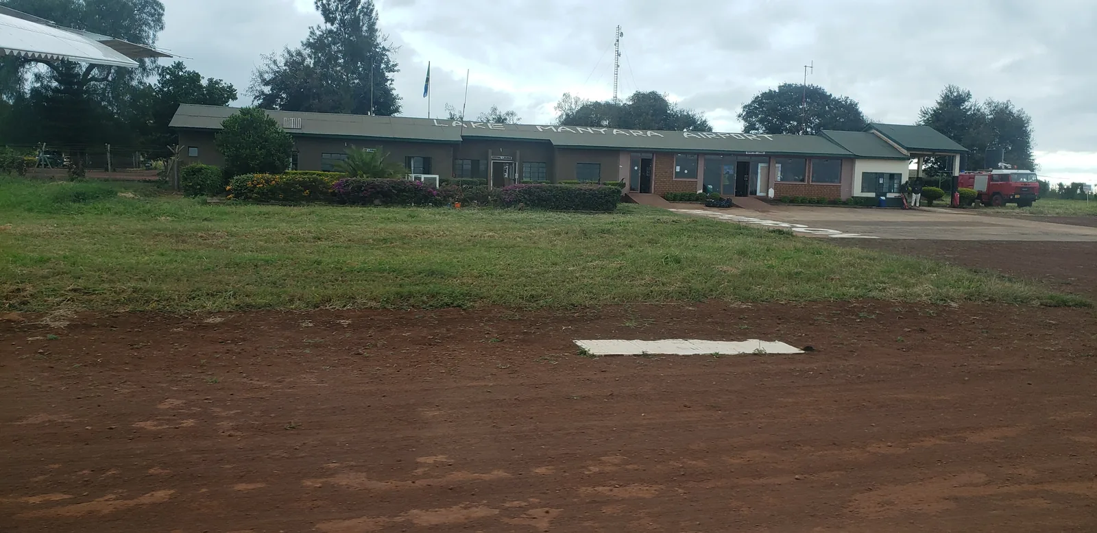
Low terminal building of Lake Manyara Airport behind a lawn and the red apron, outside the national park
Photo: Pi3.124 ↗ · CC BY-SA 4.0 ↗

Surroundings · Airstrip LKY, outside the park

Lake Manyara Airport

The airstrip on the rim of the Rift Valley wall, with a compacted runway of 1,220 m (4,003 ft) according to OpenStreetMap. The authority mentions charter and scheduled flights; it lies outside the park, a good two kilometres from the gate.

Open in OpenStreetMap ↗Location source ↗

-3.37570, 35.81849

Surroundings · Town before the gate, outside the park

Mto wa Mbu

The town on the road from Arusha, just under two kilometres east of the gate. The authority puts it at 115 km (71 mi) and two hours from Arusha; many safaris have their campsites and lodgings here, outside the park.

Open in OpenStreetMap ↗Location source ↗

-3.37671, 35.85580

Locations verified from the linked original sources and OpenStreetMap. The map shows no trails or park boundaries; markers do not imply that access is permitted.

Map: © OpenStreetMap contributors, OpenMapTiles, OpenFreeMap. Elevation: Terrain Tiles (Mapzen, AWS Open Data); 3DEP, GMTED2010 and SRTM courtesy of the U.S. Geological Survey; EU-DEM (Copernicus, European Union); ETOPO1 (NOAA); ArcticDEM (NSF, DigitalGlobe); Geoscience Australia; Open Data Austria (DGM); Open Government Licence – Canada; INEGI; Land Information New Zealand; Kartverket; Environment Agency (UK).

Park photo: Photo: Christoph Strässler ↗ · CC BY-SA 2.0 ↗

Loading map …