All places Photo: Janak Bhatta ↗ · CC BY 4.0 ↗
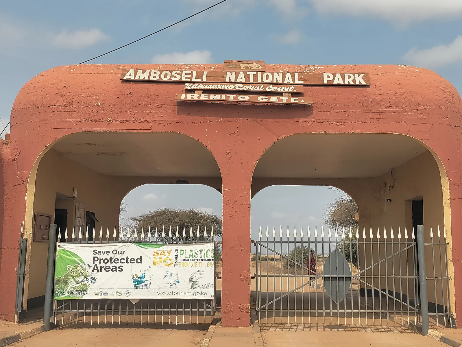
Iremito Gate The gate for the drive from Nairobi via Emali: 204 km (127 mi) according to the park page; turn off the Nairobi–Mombasa road at Emali towards Loitokitok and follow the signs to Iremito Gate.
Add to your Amboseli National Park visit Open in OpenStreetMap ↗ Location source ↗
-2.61405, 37.33171
All places Photo: ProtoplasmaKid ↗ · CC BY-SA 4.0 ↗
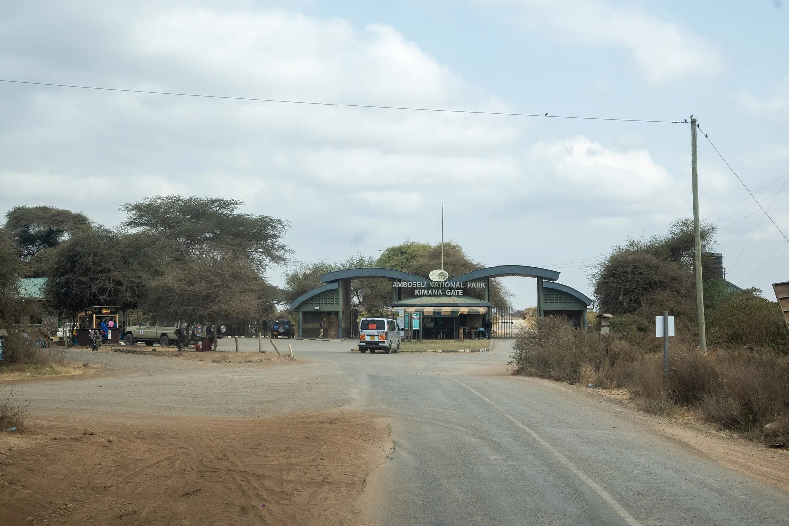
Kimana Gate Reached via the Loitokitok road and Kimana town. According to the park page, the road from Tsavo West also enters through this gate.
The gate for anyone arriving via Kimana or from Tsavo West.
Access Loitokitok road via Kimana
From Tsavo West 240 km according to the park page
Nearby park headquarters, public campsite
Opening hours 6:00 to 18:00 Add to your Amboseli National Park visit Open in OpenStreetMap ↗ Location source ↗
-2.72000, 37.37956
All places
Meshanani Gate The gate for the route via Namanga: 220 km (137 mi) from Nairobi according to the park page, tarmac to Namanga, then a gravel road.
Add to your Amboseli National Park visit Open in OpenStreetMap ↗ Location source ↗
-2.53789, 37.14491
All places Photo: flightlog ↗ · CC BY 2.0 ↗
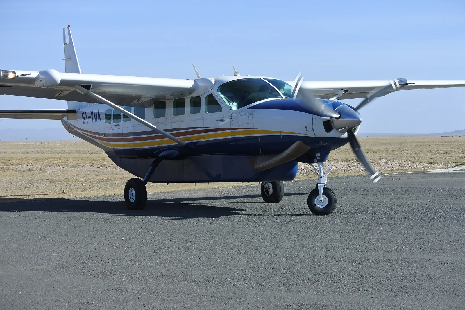
Amboseli Airstrip The tarmac airstrip for light aircraft, mapped in OpenStreetMap with a runway of 1,185 m (3,888 ft). The park page names a single tarmac strip 1.2 km (0.7 mi) long, but calls it Kimana airstrip.
Add to your Amboseli National Park visit Open in OpenStreetMap ↗ Location source ↗
-2.64539, 37.25286
All places
KWS Amboseli Park HQ Headquarters of the Kenya Wildlife Service in the park, mapped in OpenStreetMap in the south-east near Kimana Gate.
Add to your Amboseli National Park visit Open in OpenStreetMap ↗ Location source ↗
-2.73578, 37.36884
All places
Amboseli Public Campsite Public campsite of the Kenya Wildlife Service near the park headquarters. The park page lists public campsites among the accommodation.
Add to your Amboseli National Park visit Open in OpenStreetMap ↗ Location source ↗
-2.73599, 37.37013
All places Photo: Regina Hart ↗ · CC BY 2.0 ↗
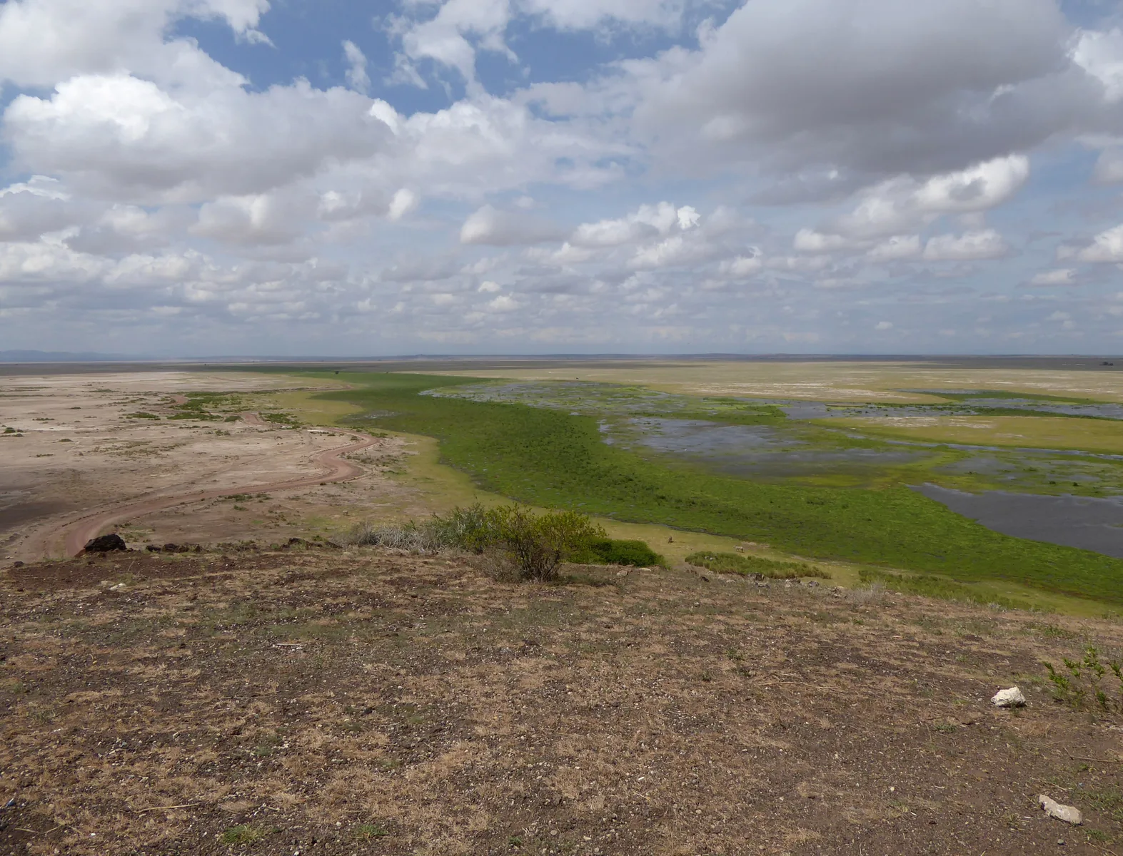
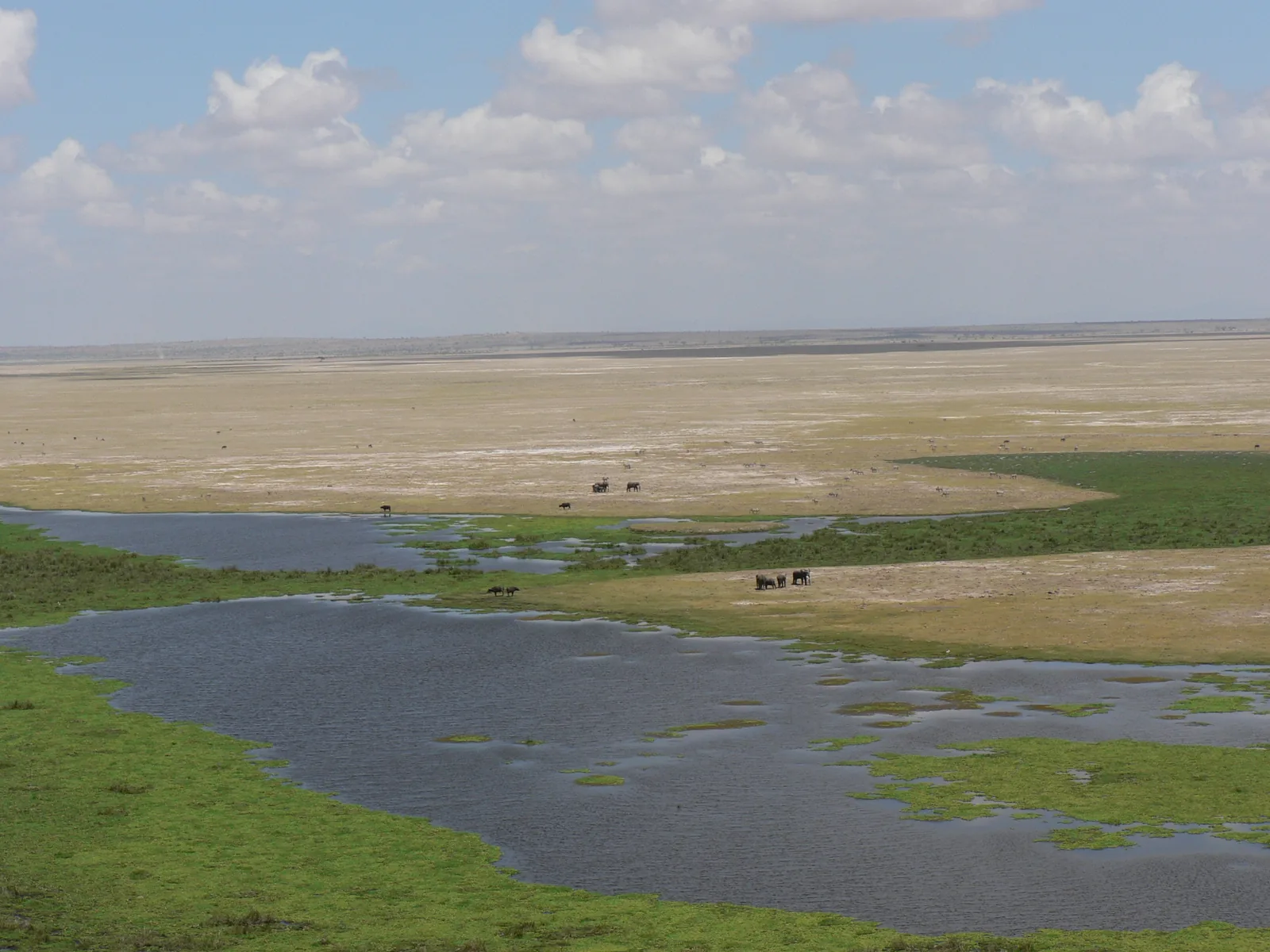
Observation Hill (Noomotio) The hill the park page calls Observation Hill (Nomatior): panoramic views over the park and the swamps. Mapped in OpenStreetMap as Noomotio Observation Point with a picnic site and information boards.
Add to your Amboseli National Park visit Open in OpenStreetMap ↗ Location source ↗
-2.67214, 37.23826
All places Photo: Ray in Manila ↗ · CC BY 2.0 ↗
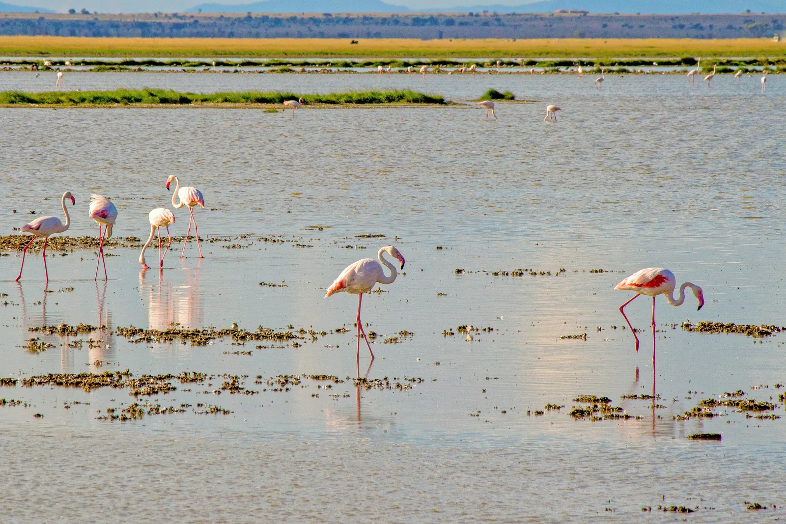
Lake Amboseli A seasonal salt lake on the western edge of the park. The park page names the Amboseli lake basin as a draw for flamingos.
Add to your Amboseli National Park visit Open in OpenStreetMap ↗ Location source ↗
-2.63245, 37.11090
All places
Lake Kioko A small lake in the centre of the park, north of Observation Hill.
Add to your Amboseli National Park visit Open in OpenStreetMap ↗ Location source ↗
-2.63988, 37.22791
All places Photo: Wouter van Vliet ↗ · CC BY 2.0 ↗
Lake Leakey A lake just east of Observation Hill, at the edge of the swamp zone.
Add to your Amboseli National Park visit Open in OpenStreetMap ↗ Location source ↗
-2.67555, 37.24289
All places
Enkongo Narok Swamp One of the park's large swamps, south of Observation Hill. The park page describes swamps and marshes as part of the habitat.
Add to your Amboseli National Park visit Open in OpenStreetMap ↗ Location source ↗
-2.69097, 37.24848
All places
Longinye Swamp A swamp in the east of the park, with Ol Tukai on its edge.
Add to your Amboseli National Park visit Open in OpenStreetMap ↗ Location source ↗
-2.66062, 37.28338
All places
Maji ya Pelican A wetland between Lake Kioko and the lake basin in the west.
Add to your Amboseli National Park visit Open in OpenStreetMap ↗ Location source ↗
-2.63468, 37.19564
All places
Lake Sinea A seasonal lake in the western part of the park.
Add to your Amboseli National Park visit Open in OpenStreetMap ↗ Location source ↗
-2.63811, 37.16381
All places
Ositet Hill A hill on the south-western edge, mapped in OpenStreetMap exactly on the park boundary.
Add to your Amboseli National Park visit Open in OpenStreetMap ↗ Location source ↗
-2.70369, 37.15516
All places Photo: John Hickey-Fry ↗ · CC BY 2.0 ↗
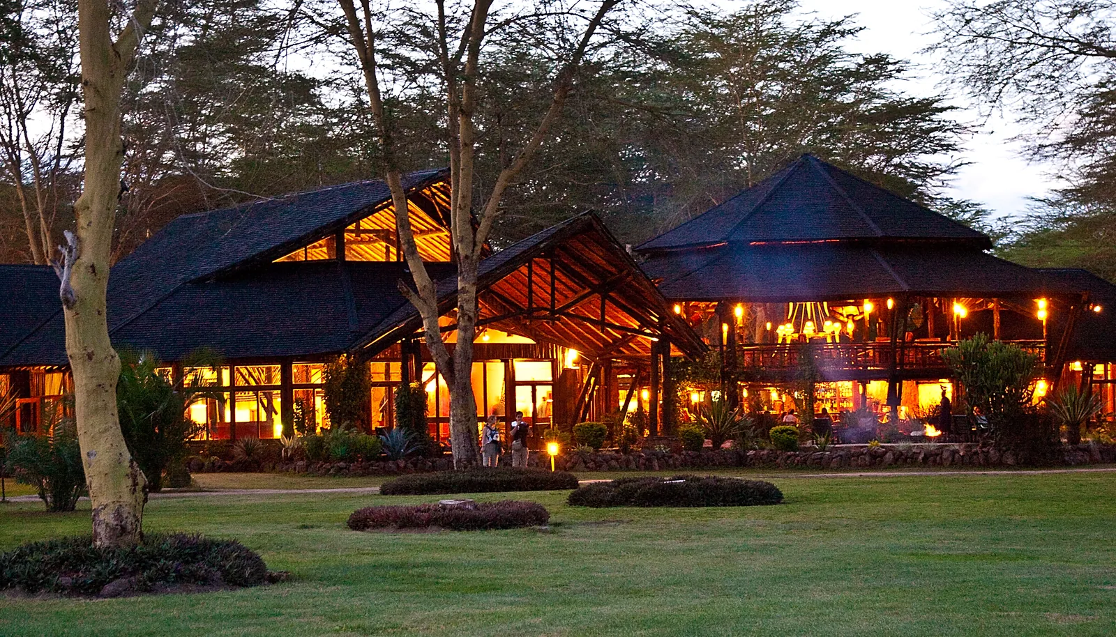
Ol Tukai Lodge A privately run lodge at Ol Tukai, listed by the park page among the accommodation.
Add to your Amboseli National Park visit Open in OpenStreetMap ↗ Location source ↗
-2.66810, 37.28250
All places
Amboseli Serena Lodge A privately run lodge in the south of the park, also on the park page's accommodation list.
Add to your Amboseli National Park visit Open in OpenStreetMap ↗ Location source ↗
-2.70589, 37.26564