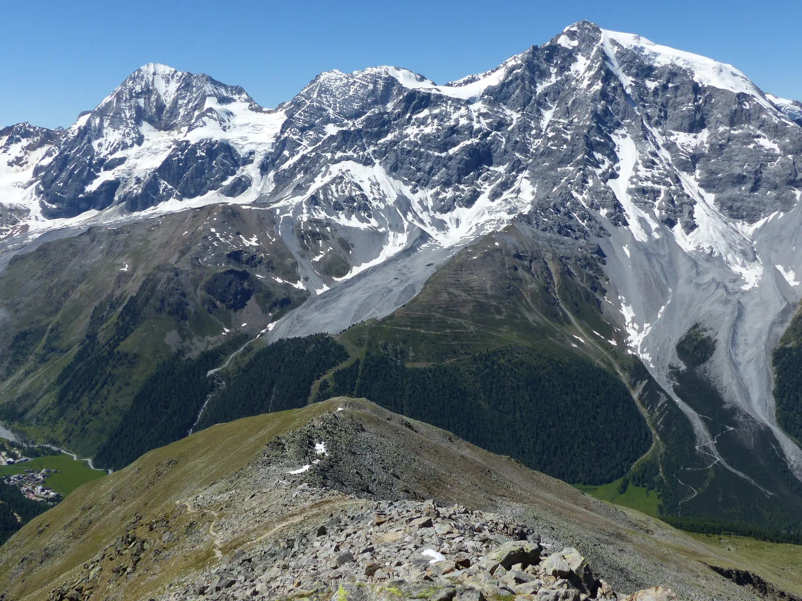
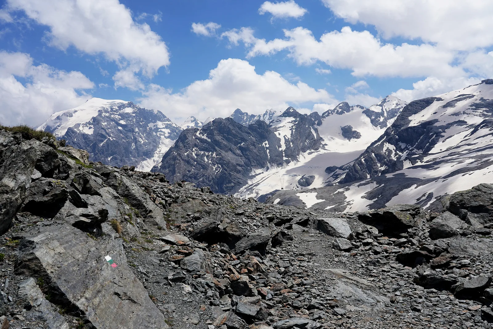
All places Photo: Whgler ↗ · CC BY-SA 4.0 ↗
Stelvio Pass (Passo dello Stelvio) Italy's highest pass road, crossing between Val Venosta and Valtellina.
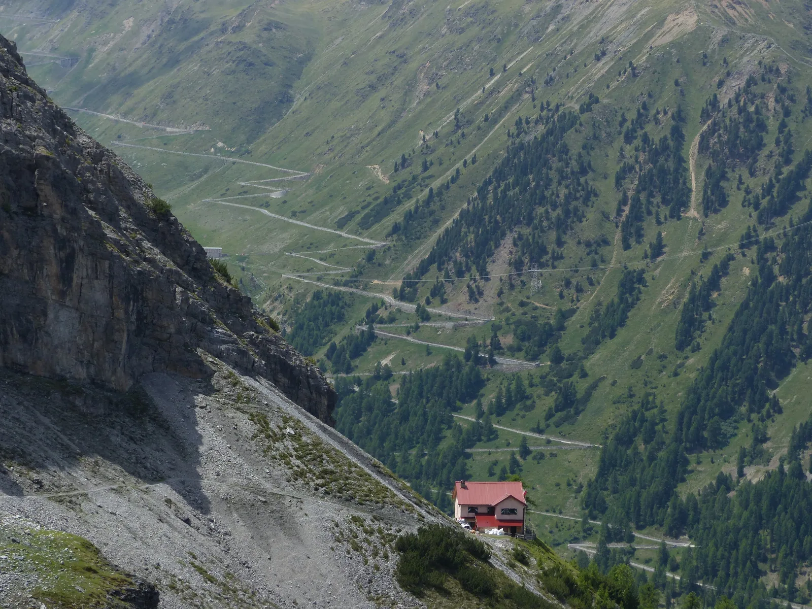
48 hairpins from Prad, 34 from Bormio – built in five years.
Coordinates 46.528618, 10.453206 (summit)
Summit 2,758 m (9,049 ft)
Eastern ramp 27.5 km, 48 hairpins, 1,870 m climb
Western ramp 21.7 km, 34 hairpins, 7 tunnels
Gradient 9 % on average, 11 % at most
Built 1820 to 1825 Own page
Stelvio Pass 48 hairpins from Val Venosta, 34 from Valtellina, a turn-off to Switzerland – and 2,758 m (9,049 ft) at the top: Italy's highest pass road.
Opening, hairpins & access
Guided from here · Ad
Partner links: we may earn a commission if you book – at no extra cost to you. Thank you for supporting the atlas. Dates and prices with the provider.
Add to your Stelvio visit Open in OpenStreetMap ↗ Location source ↗
46.52862, 10.45321
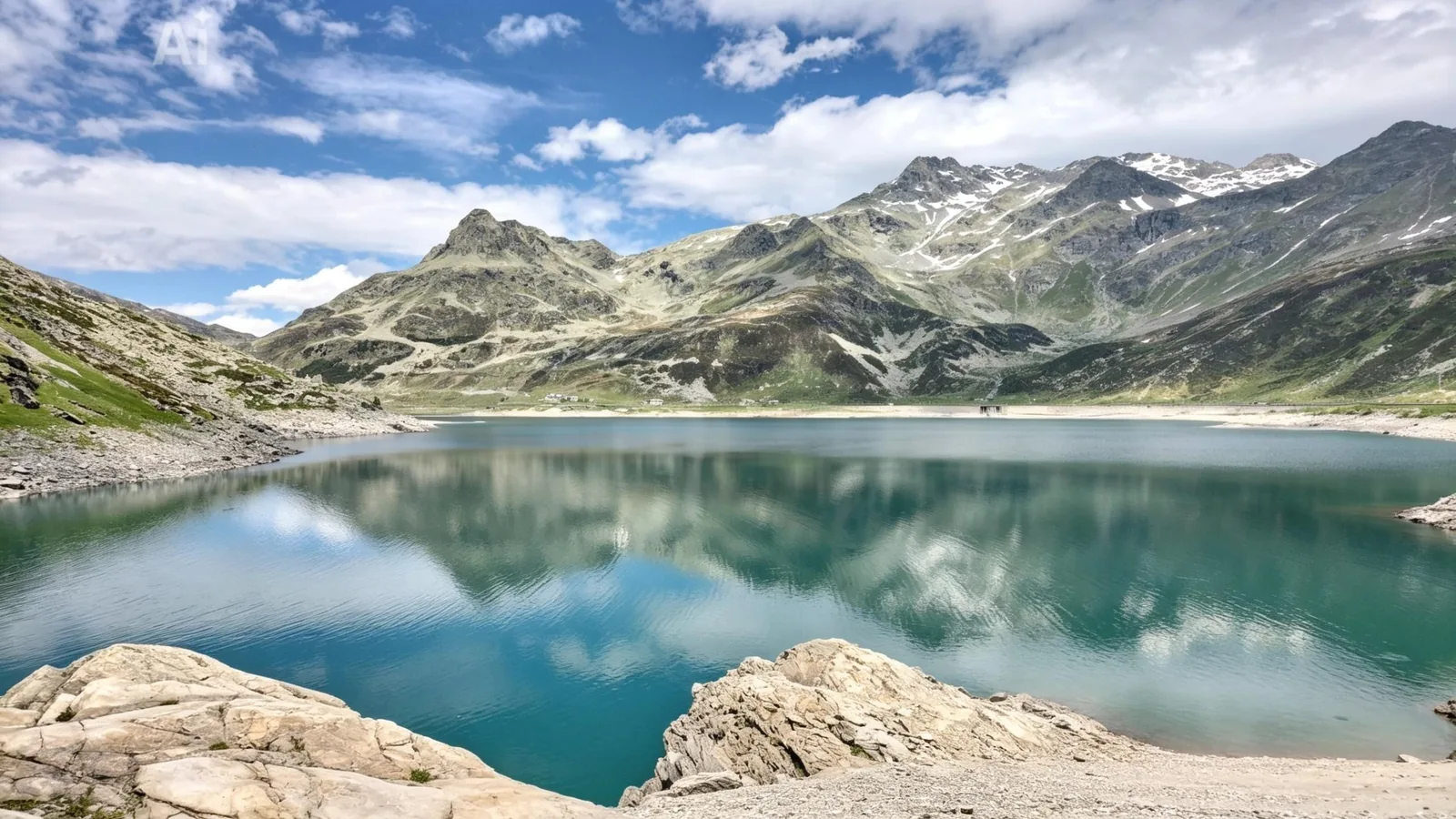
All places Photo: TheRunnerUp ↗ · CC BY-SA 4.0 ↗
Cima Garibaldi (Dreisprachenspitze) Peak above the summit on the Swiss border, with views of the Ortler group.
The viewpoint peak above the summit, on the Swiss border.
Coordinates 46.530852, 10.453055
Location above the summit
Border Italy and Switzerland
Summit 2,758 m (9,049 ft) Own page
Stelvio Pass 48 hairpins from Val Venosta, 34 from Valtellina, a turn-off to Switzerland – and 2,758 m (9,049 ft) at the top: Italy's highest pass road.
Opening, hairpins & access
Add to your Stelvio visit Open in OpenStreetMap ↗ Location source ↗
46.53085, 10.45306
All places
Umbrail Pass Road to Val Müstair in Graubünden, joining the Stelvio road below the summit.
Own page
Stelvio Pass 48 hairpins from Val Venosta, 34 from Valtellina, a turn-off to Switzerland – and 2,758 m (9,049 ft) at the top: Italy's highest pass road.
Opening, hairpins & access
Add to your Stelvio visit Open in OpenStreetMap ↗ Location source ↗
46.54165, 10.43318
All places
Weißer Knott Rest stop on the pass road; opposite, a memorial marks the first ascent of the Ortler in 1804.
Own page
Stelvio Pass 48 hairpins from Val Venosta, 34 from Valtellina, a turn-off to Switzerland – and 2,758 m (9,049 ft) at the top: Italy's highest pass road.
Opening, hairpins & access
Add to your Stelvio visit Open in OpenStreetMap ↗ Location source ↗
46.53712, 10.50043
All places
Trafoi From here vehicles over 10.50 m long are banned.
Own page
Stelvio Pass 48 hairpins from Val Venosta, 34 from Valtellina, a turn-off to Switzerland – and 2,758 m (9,049 ft) at the top: Italy's highest pass road.
Opening, hairpins & access
How to get there: Val Venosta, Valtellina or Val Müstair
Bus to Trafoi and Solda From Mals, Spondinig, Glurns and Prad buses run via Stilfs to Solda or Trafoi; for Martell you change at Goldrain. Bus lines 270 and 271 stop at the naturatrafoi visitor centre.
Stelvio National Park: local transport ↗
Things to do: pass road, Ortler, hikes
Three waterfalls of Trafoi From the Heilige Drei Brunnen shrine, trail no. 9 follows the Trafoi stream to the three waterfalls of Trafoi.
Stelvio National Park: hiking trails ↗
Add to your Stelvio visit Open in OpenStreetMap ↗ Location source ↗
46.55225, 10.51029
All places
naturatrafoi visitor centre Exhibition on life at the limit in the high mountains, bus 270/271.
Own page
Stelvio Pass 48 hairpins from Val Venosta, 34 from Valtellina, a turn-off to Switzerland – and 2,758 m (9,049 ft) at the top: Italy's highest pass road.
Opening, hairpins & access
Add to your Stelvio visit Open in OpenStreetMap ↗ Location source ↗
46.55000, 10.50923
All places
Prad (Prato allo Stelvio) Start of the bike day and home of the aquaprad visitor centre.
Own page
Stelvio Pass 48 hairpins from Val Venosta, 34 from Valtellina, a turn-off to Switzerland – and 2,758 m (9,049 ft) at the top: Italy's highest pass road.
Opening, hairpins & access
Add to your Stelvio visit Open in OpenStreetMap ↗ Location source ↗
46.61709, 10.59166
All places
Ponte Stelvio (Stilfserbrücke) The road to Solda branches off here; the cycle path from Prad runs this far.
Own page
Stelvio Pass 48 hairpins from Val Venosta, 34 from Valtellina, a turn-off to Switzerland – and 2,758 m (9,049 ft) at the top: Italy's highest pass road.
Opening, hairpins & access
Add to your Stelvio visit Open in OpenStreetMap ↗ Location source ↗
46.59295, 10.55030
All places
Solda (Sulden) Base for tours to the Ortler and home of the Messner Mountain Museum Ortles.
Things to do: pass road, Ortler, hikes
Trails around the Ortler Popular routes are the Goldseeweg, the Hintere Schöntaufspitze and the Solda glacier trail, a 10 km (6.2 mi) loop from the Enzianhütte. From Ulten another 600 km (373 mi) of trails lead into the park.
Stelvio National Park: hiking trails ↗
Add to your Stelvio visit Open in OpenStreetMap ↗ Location source ↗
46.52804, 10.58426
All places
Messner Mountain Museum Ortles Underground museum on the world of ice; the national park lists it among its visitor centres.
Visitor centres and nearby
Messner Mountain Museum Ortles In Solda, the underground museum shows the world of ice; the national park lists it among its visitor centres.
Stelvio National Park: visitor centres ↗
Add to your Stelvio visit Open in OpenStreetMap ↗ Location source ↗
46.53043, 10.57925
All places
Ortler (Ortles) Highest mountain in the national park.
Nature: golden eagles, bearded vultures, glaciers
From valley floor to 3,905 m Between the valley floors and the glaciers above 3,900 m, every alpine vegetation zone is represented.
Stelvio National Park: visitor centres ↗
Add to your Stelvio visit Open in OpenStreetMap ↗ Location source ↗
46.50910, 10.54493
All places
Bormio Town in Valtellina at the foot of the Lombardy ramp.
Add to your Stelvio visit Open in OpenStreetMap ↗ Location source ↗
46.46767, 10.37747
All places
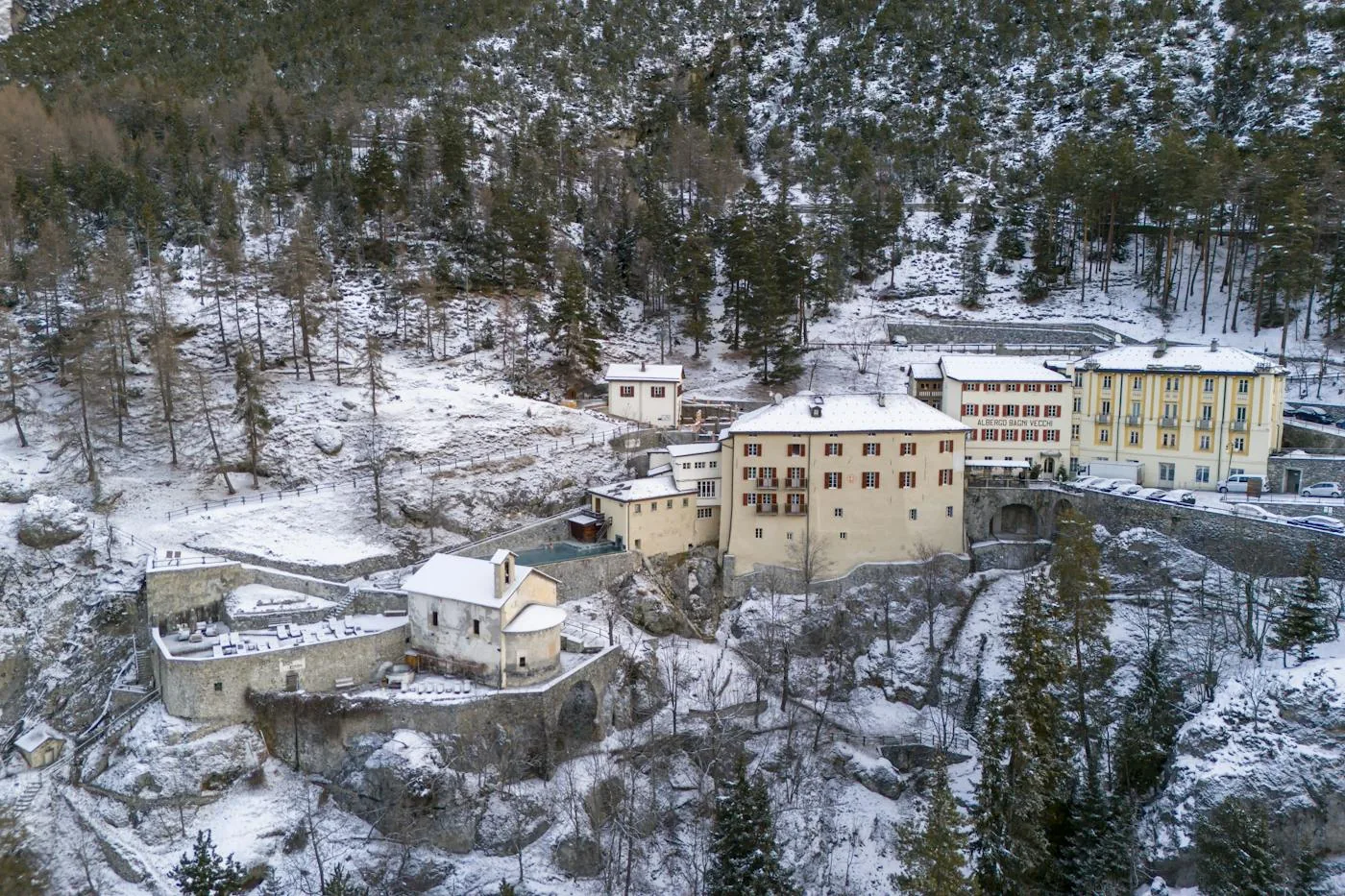
Bagni Vecchi Thermal baths on the Strada del Passo dello Stelvio; at km 106.5 the section that ANAS closes in winter begins.
Own page
Stelvio Pass 48 hairpins from Val Venosta, 34 from Valtellina, a turn-off to Switzerland – and 2,758 m (9,049 ft) at the top: Italy's highest pass road.
Opening, hairpins & access
Add to your Stelvio visit Open in OpenStreetMap ↗ Location source ↗
46.49222, 10.36098
Locations verified from the linked original sources and OpenStreetMap. The map shows no trails or park boundaries; markers do not imply that access is permitted.
Map: © OpenStreetMap contributors, OpenMapTiles, OpenFreeMap. Elevation: Terrain Tiles (Mapzen, AWS Open Data); 3DEP, GMTED2010 and SRTM courtesy of the U.S. Geological Survey; EU-DEM (Copernicus, European Union); ETOPO1 (NOAA); ArcticDEM (NSF, DigitalGlobe); Geoscience Australia; Open Data Austria (DGM); Open Government Licence – Canada; INEGI; Land Information New Zealand; Kartverket; Environment Agency (UK).
Park photo: Photo: Whgler ↗ · CC BY-SA 4.0 ↗