All places Photo: Arne D. ↗ · Public domain ↗
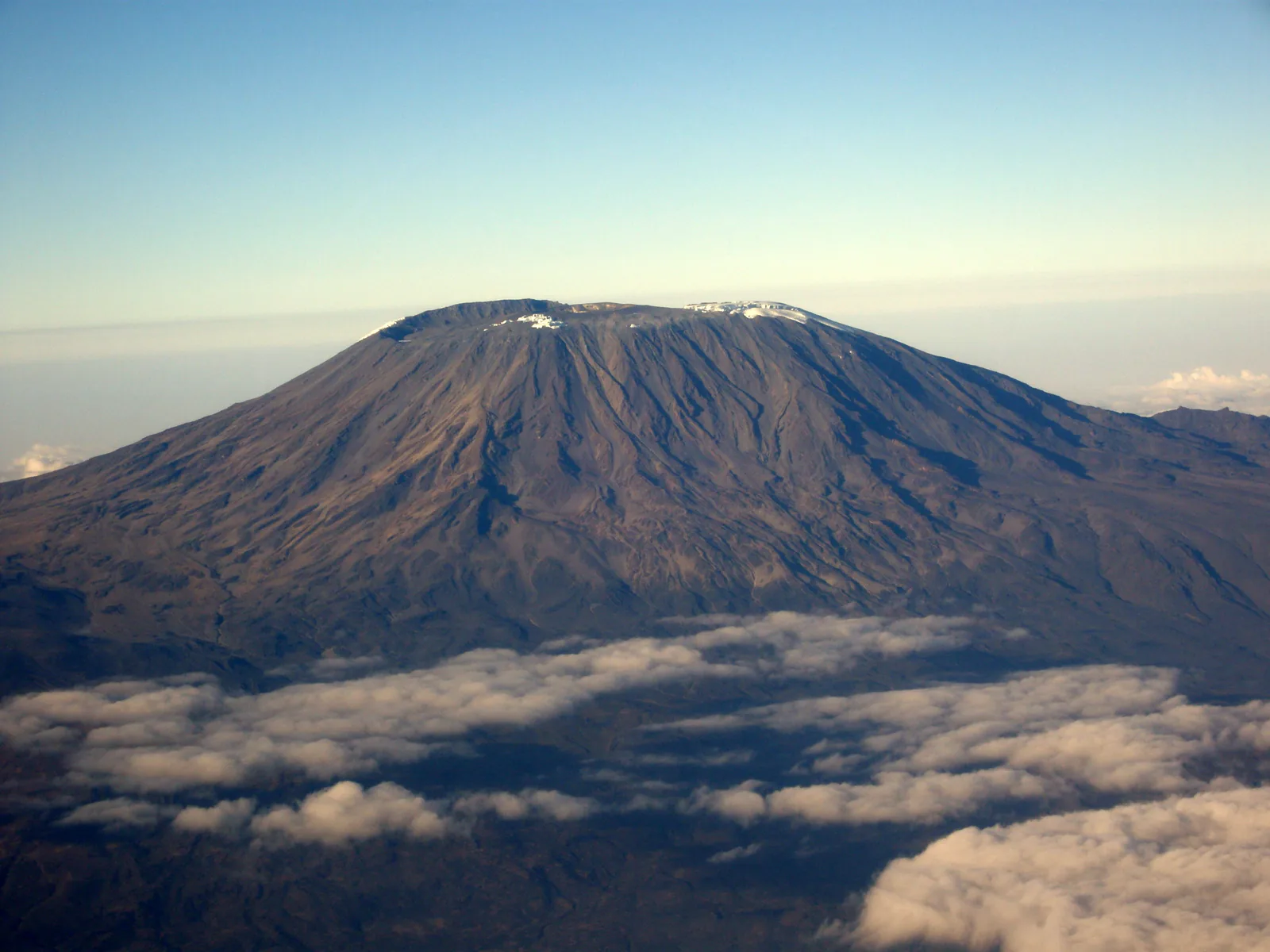
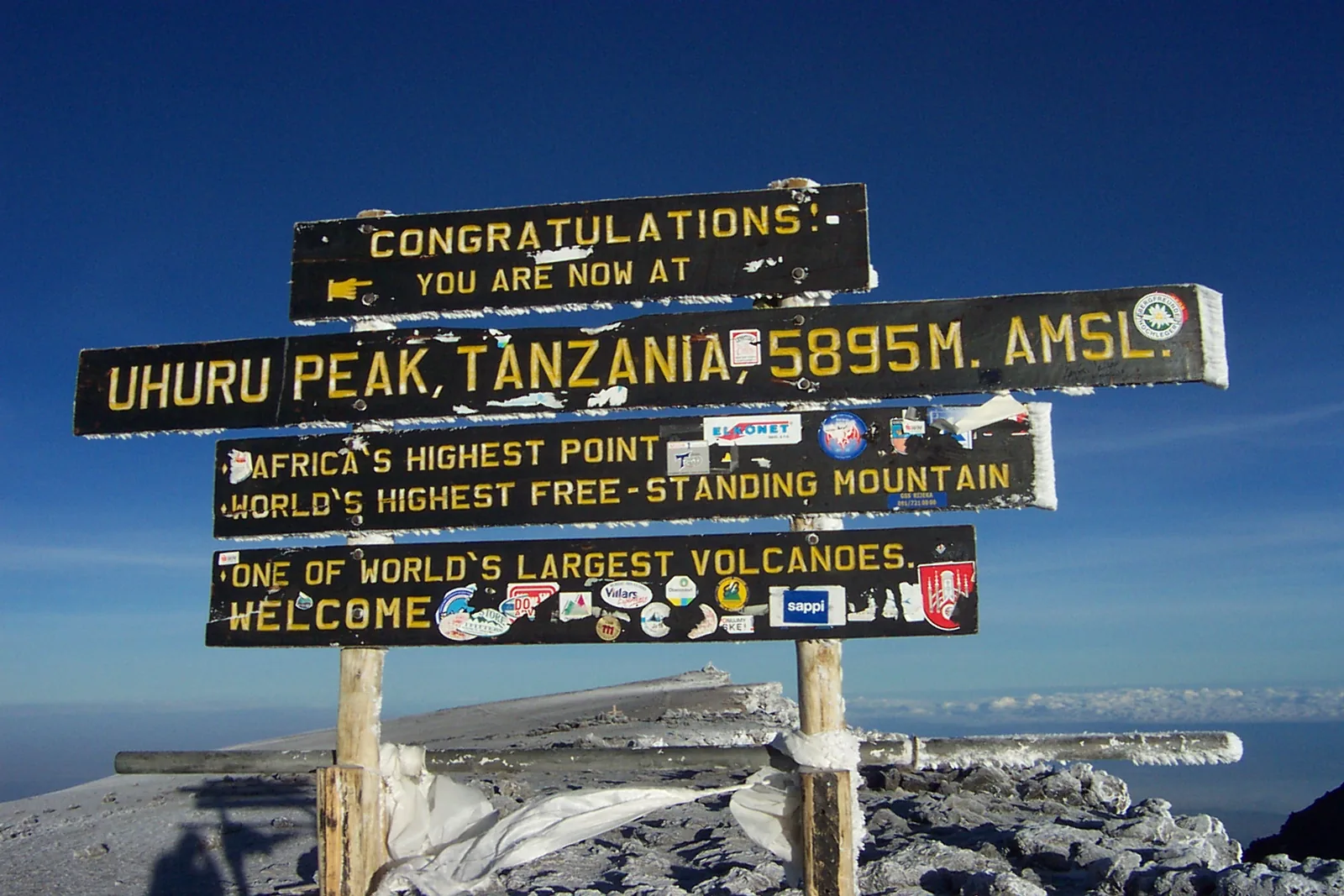
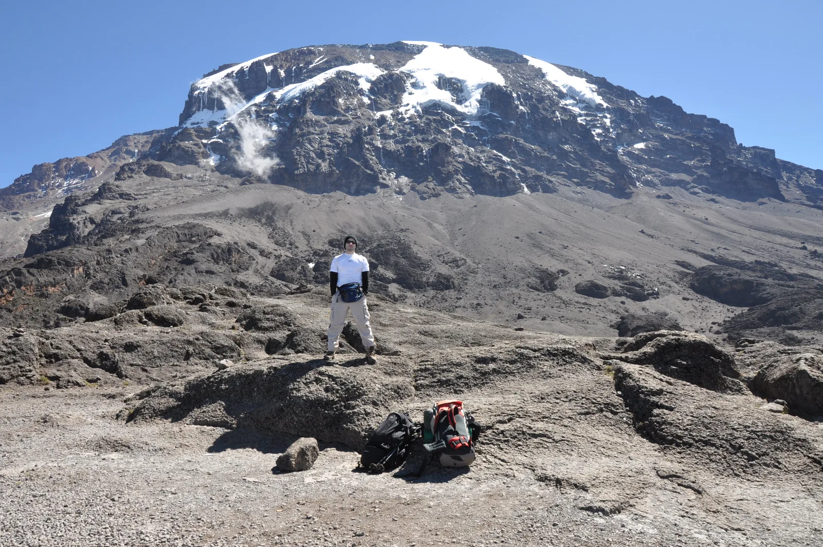
Uhuru Peak The highest point on the rim of Kibo's crater, 5,895 metres (19,341 ft) above sea level according to the park authority. All ascent routes lead here; operators start the final stage at midnight.
The highest point in Africa on the rim of Kibo's crater, reached after a night of climbing.
Height 5,895 m (19,341 ft) according to the authority
Crater rim Stella Point, 5,744 m (18,845 ft) according to OpenStreetMap
Start of summit night Barafu, Kibo Huts or School Hut
First ascent 6 October 1889 Add to your Kilimanjaro National Park visit Open in OpenStreetMap ↗ Location source ↗
-3.07641, 37.35400
All places
Stella Point Routes from Barafu reach the crater rim here; 5,744 metres (18,845 ft) according to OpenStreetMap. The way to Uhuru Peak continues along the rim.
Add to your Kilimanjaro National Park visit Open in OpenStreetMap ↗ Location source ↗
-3.07823, 37.36262
All places
Crater Camp The campsite inside Kibo's crater near the Furtwängler Glacier. The authority lists crater camping as a separate product with its own fee.
Add to your Kilimanjaro National Park visit Open in OpenStreetMap ↗ Location source ↗
-3.07299, 37.35194
All places Photo: ProfessorX ↗ · CC BY-SA 4.0 ↗
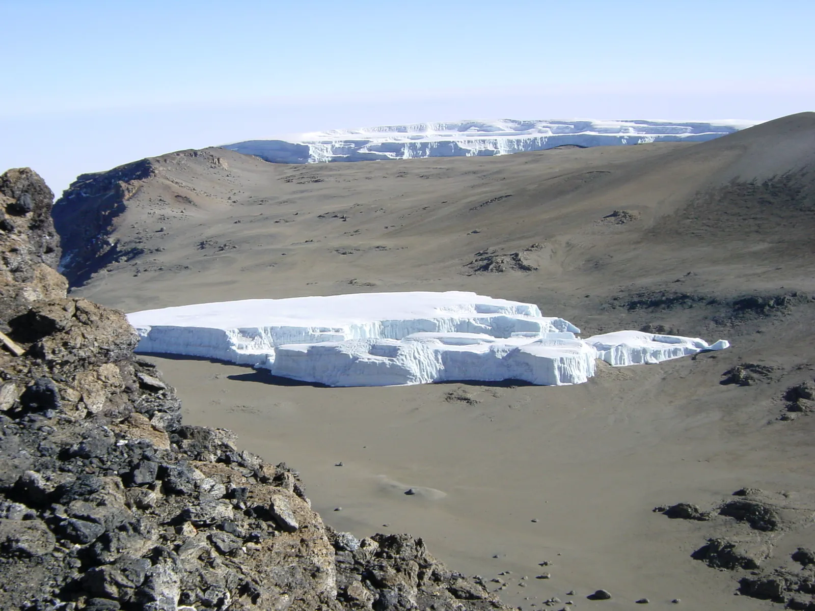
Furtwängler Glacier One of the remaining glaciers on Kibo. UNESCO describes the glaciers as particularly vulnerable to climate change.
Add to your Kilimanjaro National Park visit Open in OpenStreetMap ↗ Location source ↗
-3.07057, 37.35165
All places Photo: Markventure Tour Guide ↗ · CC BY-SA 4.0 ↗
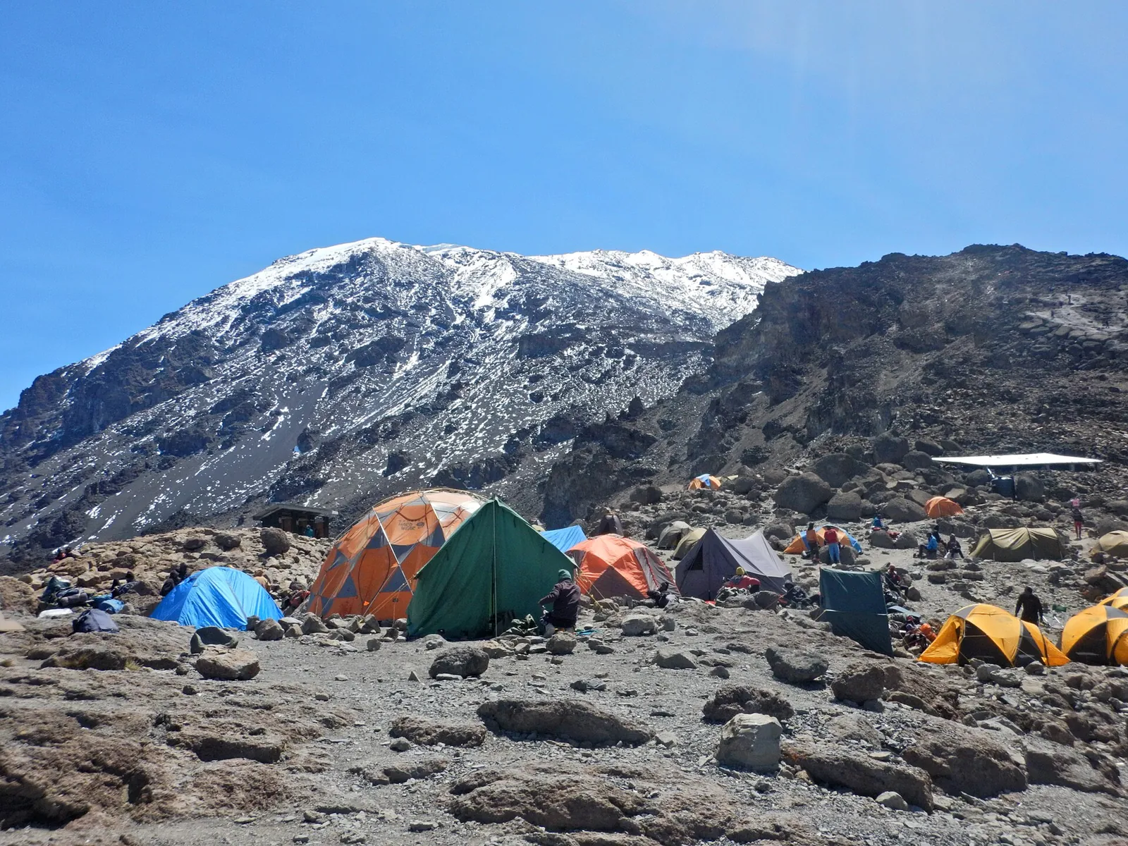
Barafu Camp The last camp on the Machame and Lemosho routes before summit night. The tariff database lists a separate camping fee for upper Barafu camp.
Add to your Kilimanjaro National Park visit Open in OpenStreetMap ↗ Location source ↗
-3.09987, 37.37858
All places Photo: Phase9 ↗ · CC BY-SA 3.0 ↗
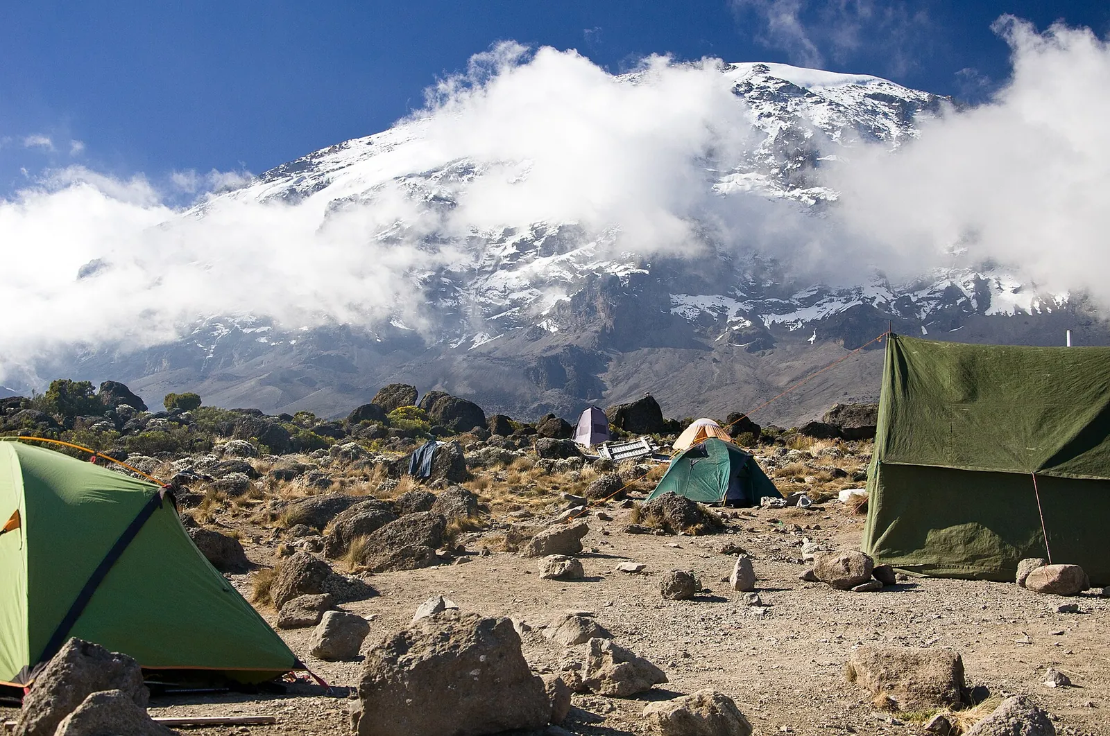
Karanga Camp Camp between Barranco and Barafu on the southern routes, 3,961 metres (12,995 ft) according to OpenStreetMap.
Add to your Kilimanjaro National Park visit Open in OpenStreetMap ↗ Location source ↗
-3.11274, 37.35498
All places
Barranco Camp The camp in the Barranco Valley, where the Machame, Lemosho and Umbwe routes meet. In the morning the route continues over the Barranco Wall.
Add to your Kilimanjaro National Park visit Open in OpenStreetMap ↗ Location source ↗
-3.09515, 37.32964
All places Photo: Stig Nygaard ↗ · CC BY 2.0 ↗
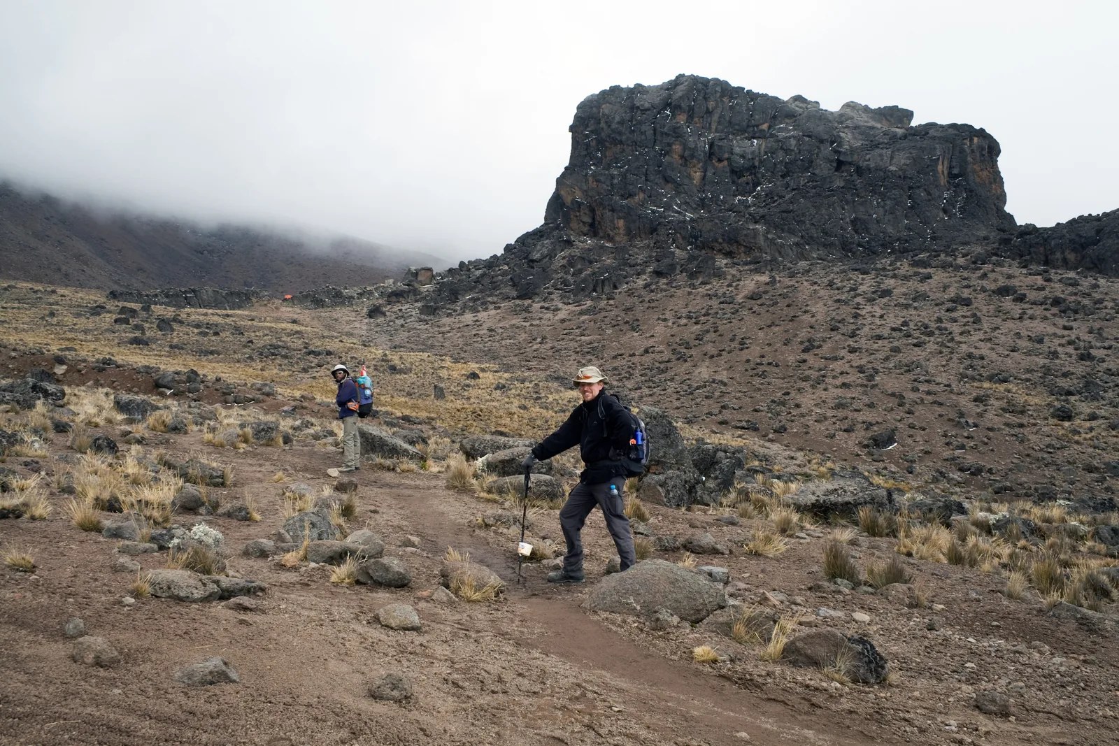
Lava Tower A lava tower on the way from the Shira Plateau to the Barranco Valley. Groups climb up here to acclimatise and sleep lower down.
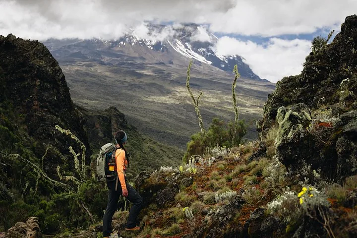
Climb high, sleep low: why the Machame and Lemosho routes go via the lava tower.
Lava Tower 4,689 m (15,384 ft) according to OpenStreetMap
Barranco Camp 3,970 m (13,025 ft) according to OpenStreetMap
Altitude sickness 75–77 % on 4–5-day ascents according to the CDC
Children under 10 not above 3,700 m (12,139 ft) Add to your Kilimanjaro National Park visit Open in OpenStreetMap ↗ Location source ↗
-3.06844, 37.32657
All places
Shira Cave Camp The Machame route camp on the edge of the Shira Plateau, 3,841 metres (12,602 ft) according to OpenStreetMap.
Add to your Kilimanjaro National Park visit Open in OpenStreetMap ↗ Location source ↗
-3.06680, 37.27628
All places Photo: Stig Nygaard ↗ · CC BY 2.0 ↗
Shira 1 Camp The first camp on the Shira Plateau for groups from Lemosho and Londorossi, 3,500 metres (11,483 ft) according to OpenStreetMap.
From the west across the whole Shira Plateau, remote and with time to acclimatise.
Share 18 % with Londorossi and Shira
Registration Londorossi Gate
Camp Shira 1, 3,500 m (11,483 ft) according to OpenStreetMap
Shira 3,962 m (12,999 ft), oldest peak Add to your Kilimanjaro National Park visit Open in OpenStreetMap ↗ Location source ↗
-3.01283, 37.22938
All places Photo: Jorge Láscar ↗ · CC BY 2.0 ↗
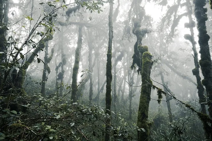
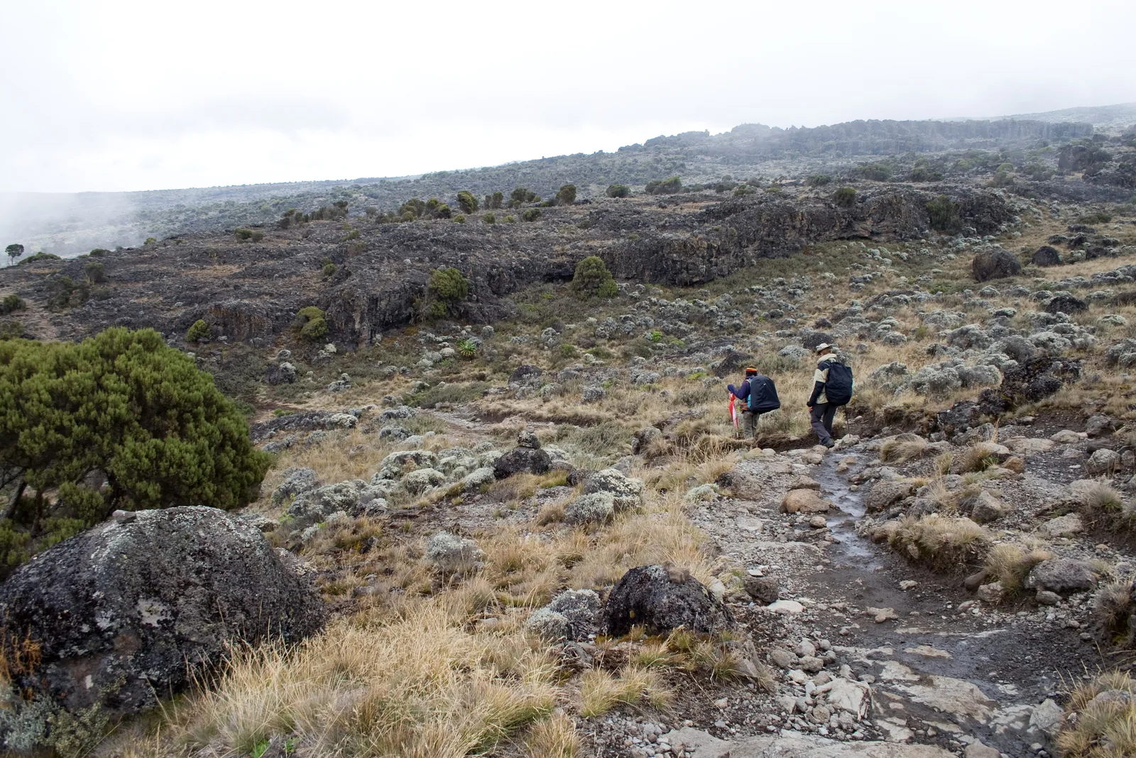
Machame Camp The first camp on the Machame route after the climb through the montane forest.
The most used route: rainforest, Shira Plateau, Lava Tower, Barranco Wall.
Share 40 % of climbers
Start Machame Gate, 1,800 m (5,906 ft) according to OpenStreetMap
Overnight Tent
Descent via Mweka Add to your Kilimanjaro National Park visit Open in OpenStreetMap ↗ Location source ↗
-3.09547, 37.26638
All places Photo: BerotBurns ↗ · CC BY-SA 3.0 ↗
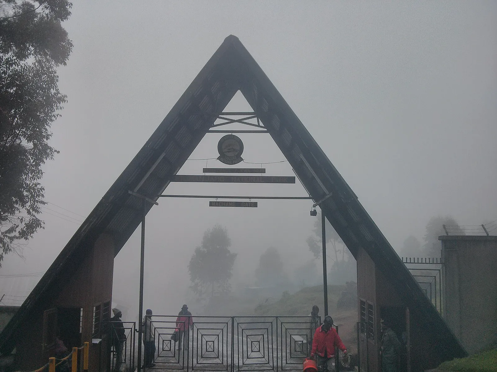
Machame Gate The southern gate for the Machame route, the most used route on the mountain. Permits and rescue registration are handled here.
Add to your Kilimanjaro National Park visit Open in OpenStreetMap ↗ Location source ↗
-3.17347, 37.23922
All places
Londorossi Gate The gate in the west where groups on the Lemosho and Shira routes register before driving on to the trailhead.
Add to your Kilimanjaro National Park visit Open in OpenStreetMap ↗ Location source ↗
-2.96188, 37.13514
All places
Lemosho Gate The starting point of the Lemosho route in the montane forest on the western side.
Add to your Kilimanjaro National Park visit Open in OpenStreetMap ↗ Location source ↗
-3.00294, 37.14690
All places
Umbwe Gate The gate of the Umbwe route in the south, the route with the smallest share of climbers.
Add to your Kilimanjaro National Park visit Open in OpenStreetMap ↗ Location source ↗
-3.18983, 37.27957
All places
Mweka Gate Groups on the Machame, Lemosho, Umbwe and Londorossi routes descend via Mweka; the authority lists Mweka for descent only.
Add to your Kilimanjaro National Park visit Open in OpenStreetMap ↗ Location source ↗
-3.21954, 37.34156
All places
Mweka Camp The camp in the forest on the descent to Mweka.
Add to your Kilimanjaro National Park visit Open in OpenStreetMap ↗ Location source ↗
-3.15695, 37.36709
All places
Marangu Gate Park headquarters and gate of the Marangu route, according to the authority 41 kilometres (25 mi) from Moshi and 86 kilometres (53 mi) from Kilimanjaro International Airport. The checked day hikes also start here.
Add to your Kilimanjaro National Park visit Open in OpenStreetMap ↗ Location source ↗
-3.24365, 37.51765
All places
Lauwo Waterfall A waterfall 2.8 kilometres (1.7 mi) from Marangu Gate through dense montane forest, according to the authority a destination even without a summit climb.
Add to your Kilimanjaro National Park visit Open in OpenStreetMap ↗ Location source ↗
-3.22779, 37.50939
All places
Mandara Huts The first hut station, according to the authority 8 kilometres (5 mi) from Marangu Gate with 122 beds. Maundi Crater is a 15-minute walk further on.
Add to your Kilimanjaro National Park visit Open in OpenStreetMap ↗ Location source ↗
-3.18175, 37.51326
All places
Maundi Crater A side crater a 15-minute walk above the Mandara Huts with views of Lake Chala, Lake Jipe and Nyumba ya Mungu, the authority says.
Add to your Kilimanjaro National Park visit Open in OpenStreetMap ↗ Location source ↗
-3.17693, 37.51933
All places
Horombo Huts The middle hut station on the Marangu route, according to the authority 19 kilometres (12 mi) from the gate with 152 beds. Many groups stay here for a day to acclimatise.
Add to your Kilimanjaro National Park visit Open in OpenStreetMap ↗ Location source ↗
-3.14001, 37.43926
All places Photo: ProfessorX ↗ · CC BY-SA 3.0 ↗
Kibo Huts The highest hut station on the saddle below Kibo, according to the authority 28 kilometres (17 mi) from the gate with 110 beds. Summit night on the Marangu route starts here.
Add to your Kilimanjaro National Park visit Open in OpenStreetMap ↗ Location source ↗
-3.08157, 37.38922
All places
Rongai Gate The gate of the Rongai route on the north side of the mountain; the route climbs from the north past Mawenzi to the saddle below Kibo.
Add to your Kilimanjaro National Park visit Open in OpenStreetMap ↗ Location source ↗
-2.97035, 37.46694
All places
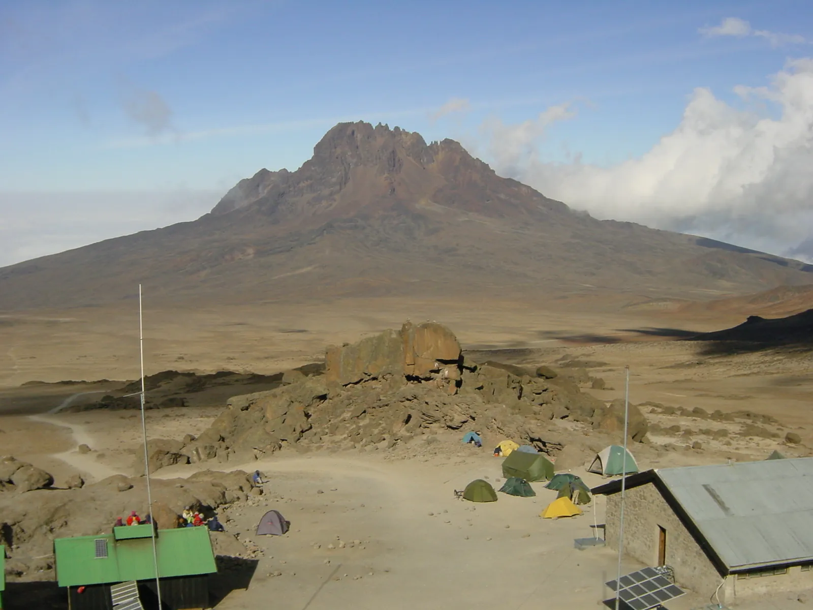
Mawenzi Tarn Huts Camp A Rongai route camp at the foot of Mawenzi.
Add to your Kilimanjaro National Park visit Open in OpenStreetMap ↗ Location source ↗
-3.08000, 37.45650
All places Photo: Chris 73 ↗ · CC BY-SA 3.0 ↗
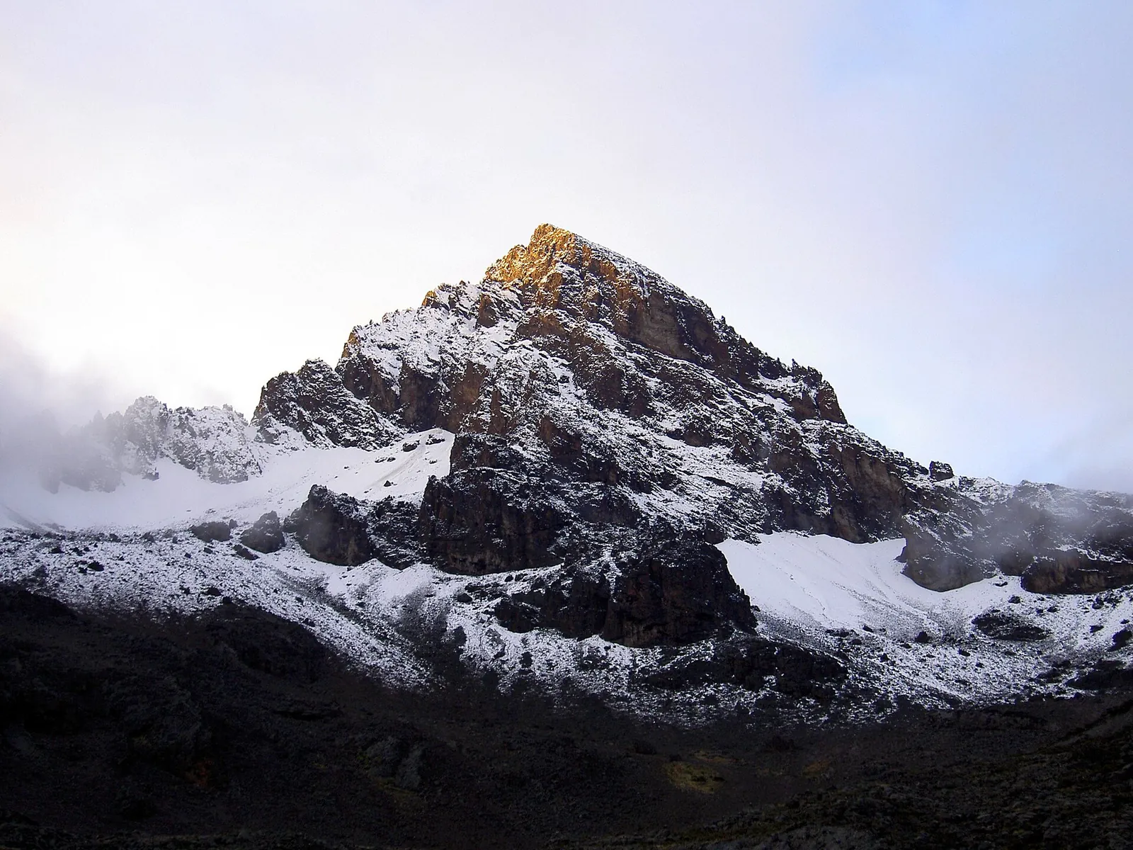
Mawenzi The jagged second summit of the massif, 5,149 metres (16,893 ft) according to the authority, open only for technical climbing.
Add to your Kilimanjaro National Park visit Open in OpenStreetMap ↗ Location source ↗
-3.09335, 37.45636
All places
School Hut Camp The camp on the northeast side of Kibo from which Northern Circuit groups set off for the summit.
Add to your Kilimanjaro National Park visit Open in OpenStreetMap ↗ Location source ↗
-3.06848, 37.38642
All places
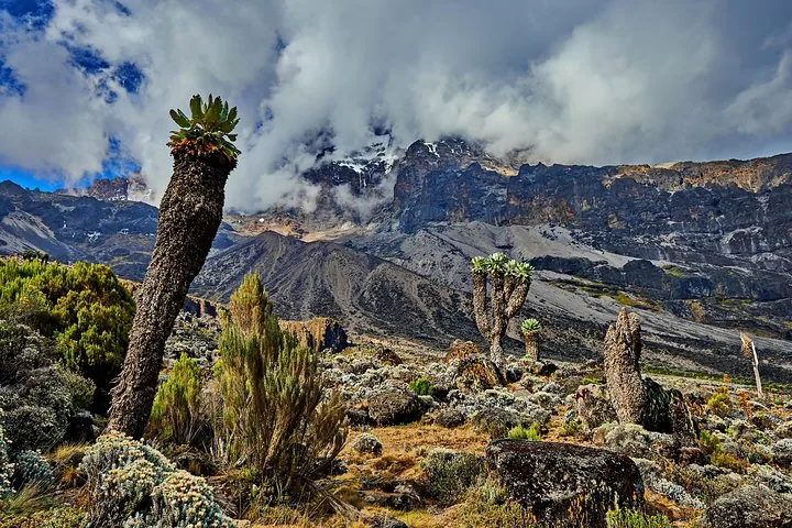
Shira The oldest of the three volcanoes, 3,962 metres (12,999 ft) according to the authority, collapsed into a wide plateau where elephants, buffaloes and elands occur.
Add to your Kilimanjaro National Park visit Open in OpenStreetMap ↗ Location source ↗
-3.03372, 37.23717
All places Photo: Lebu Ayiga ↗ · CC BY 4.0 ↗
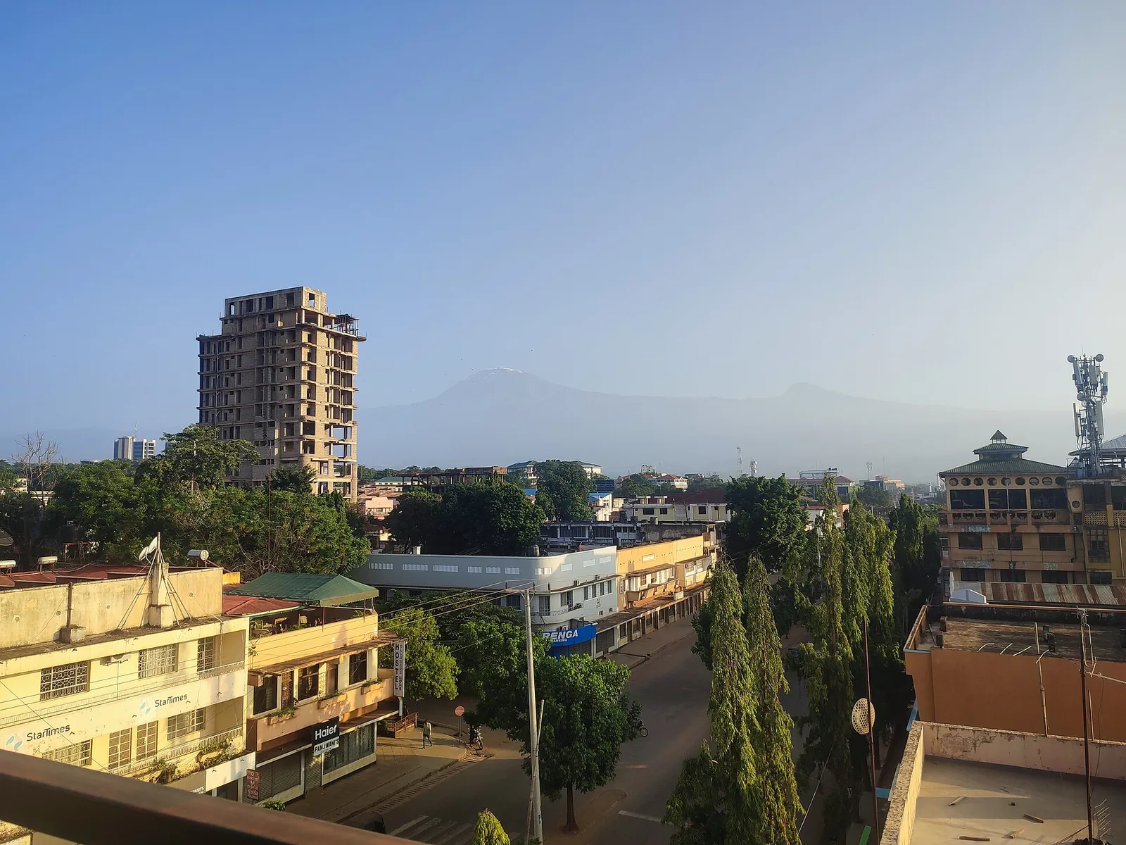
Moshi The town at the southern foot of the mountain, 41 kilometres (25 mi) from Marangu Gate; operators of climbs and day hikes pick up here. It lies outside the park.
Guided from here · Ad
Partner links: we may earn a commission if you book – at no extra cost to you. Thank you for supporting the atlas. Dates and prices with the provider.
Add to your Kilimanjaro National Park visit Open in OpenStreetMap ↗ Location source ↗
-3.34865, 37.34352
All places Photo: Jonathan Gill ↗ · CC BY 2.0 ↗
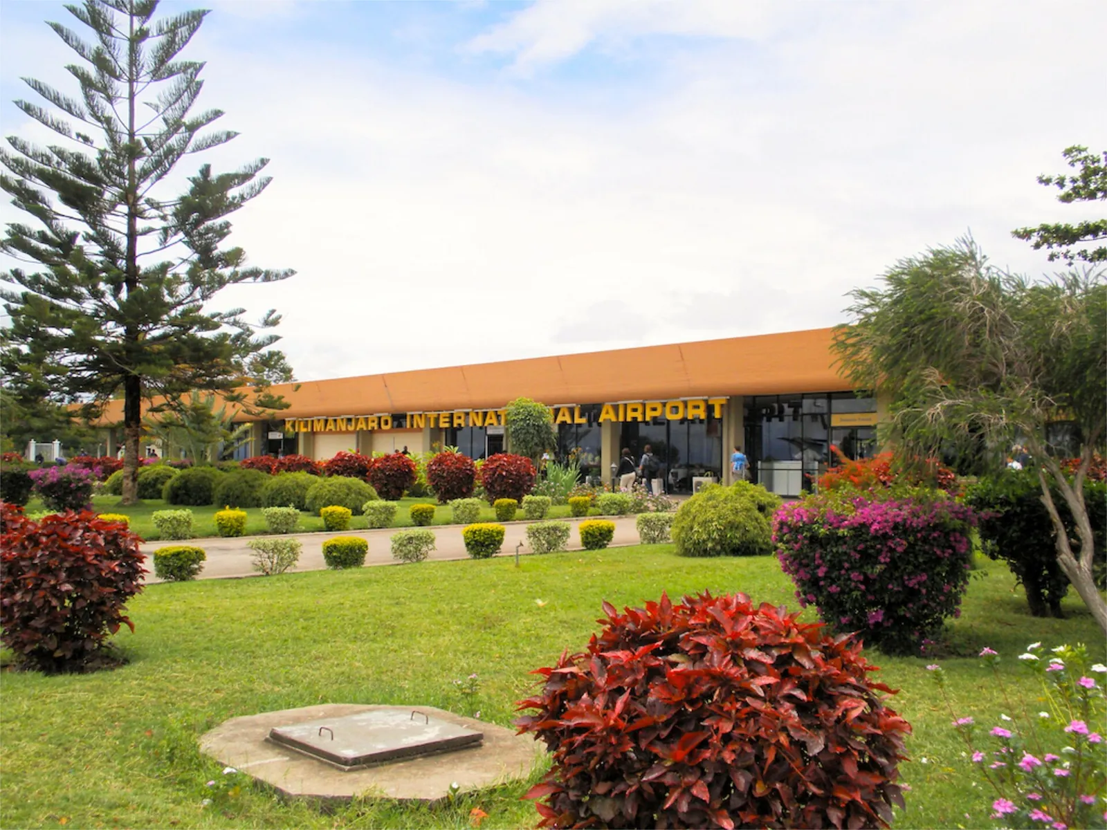
Kilimanjaro International Airport The international airport between Moshi and Arusha, according to the authority about 45 kilometres (28 mi) west of the park.
Guided from here · Ad
Partner links: we may earn a commission if you book – at no extra cost to you. Thank you for supporting the atlas. Dates and prices with the provider.
Add to your Kilimanjaro National Park visit Open in OpenStreetMap ↗ Location source ↗
-3.42843, 37.07203