National Parks Atlas
To the park
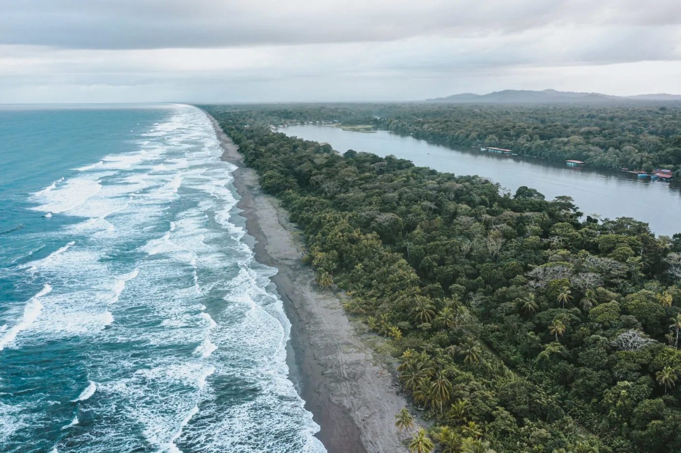
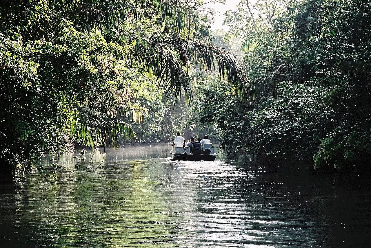
A tour boat travels along a canal in Tortuguero National Park between dense tropical rainforest

Tortuguero National Park: map

11 places with verified coordinates · 1 with photo

Bookable in the park · 3

Ad · partner links: we may earn a commission if you book – at no extra cost to you. Thank you for supporting the atlas. Offer details checked 4 Oct 2026; dates and prices with the provider.

Arrival · Park entrance by the village

Cuatro Esquinas Station (Puesto Cuatro Esquinas)

Cuatro Esquinas sector with ticket office and trails, daily 6:00 to 16:00.

Visiting Tortuguero National Park: canals, rainforest and the turtle beach

Two entrances

The Cuatro Esquinas sector lies right by Tortuguero village, the Jalova sector in the south near Barra de Parismina. According to the ICT, both open daily from 6:00 to 16:00.

ICT: Admission fees and hours of Costa Rica's national parks (Cuatro Esquinas and Jalova sectors) ↗

Open in OpenStreetMap ↗Location source ↗

10.53783, -83.50442

Surroundings · Village on the sandbar, outside the park

Tortuguero (village)

Lodging, boat landing and tour meeting points; bicycles instead of cars.

Where to stay: Tortuguero village or the lodges along the canals

The village

According to the ICT, Tortuguero has the most developed tourism services around the park; you get around on foot or by bicycle.

ICT: Miniguide of Tortuguero & Parismina (PDF, October 2024) – getting there, turtle seasons, tours ↗

Guided from here · Ad

Partner links: we may earn a commission if you book – at no extra cost to you. Thank you for supporting the atlas. Dates and prices with the provider.

Open in OpenStreetMap ↗Location source ↗

10.54203, -83.50276

History · Sea turtle museum in the village

Museo de la Tortuga

Small museum about sea turtles at the northern end of the village.

Open in OpenStreetMap ↗Location source ↗

10.54787, -83.50530

Surroundings · Airstrip, outside the park

Tortuguero Airport

Destination of the scheduled Sansa and Aerobell flights from San José.

How to get there: by boat from La Pavona, from Caño Blanco or by air

By plane

Sansa and Aerobell fly from San José to Tortuguero – more expensive but much faster, according to the ICT. The airstrip is at Barra de Tortuguero.

ICT: Miniguide of Tortuguero & Parismina (PDF, October 2024) – getting there, turtle seasons, tours ↗

Open in OpenStreetMap ↗Location source ↗

10.56883, -83.51490

Surroundings · Hamlet north of the village

San Francisco

Starting point of the trails up Cerro Tortuguero.

Tours & day trips: canoe tours, turtles at night and trails

Cerro Tortuguero

The trail up the hill starts in the hamlet of San Francisco north of the village; from the top you look out over lagoon, sea and forest.

ICT: Miniguide of Tortuguero & Parismina (PDF, October 2024) – getting there, turtle seasons, tours ↗

Open in OpenStreetMap ↗Location source ↗

10.57918, -83.52394

Nature · Hill in the Barra del Colorado refuge

Cerro Tortuguero

Lookout hill north of the village, outside the national park, with its own fee.

Tickets & entrance fees: US$15 a day for international visitors

Cerro Tortuguero: US$2

The lookout hill lies in the Barra del Colorado refuge and costs US$2 for international visitors and 500 colones for residents under the decree.

Executive Decree 38295-MINAE: fees for protected areas, current version (Costa Rican legal information system SCIJ) ↗

Open in OpenStreetMap ↗Location source ↗

10.58396, -83.52747

Nature · Canal in the park

Caño Mora

Narrow side channel where canoes and small boats travel through the forest.

Tours & day trips: canoe tours, turtles at night and trails

Canoe on the canals

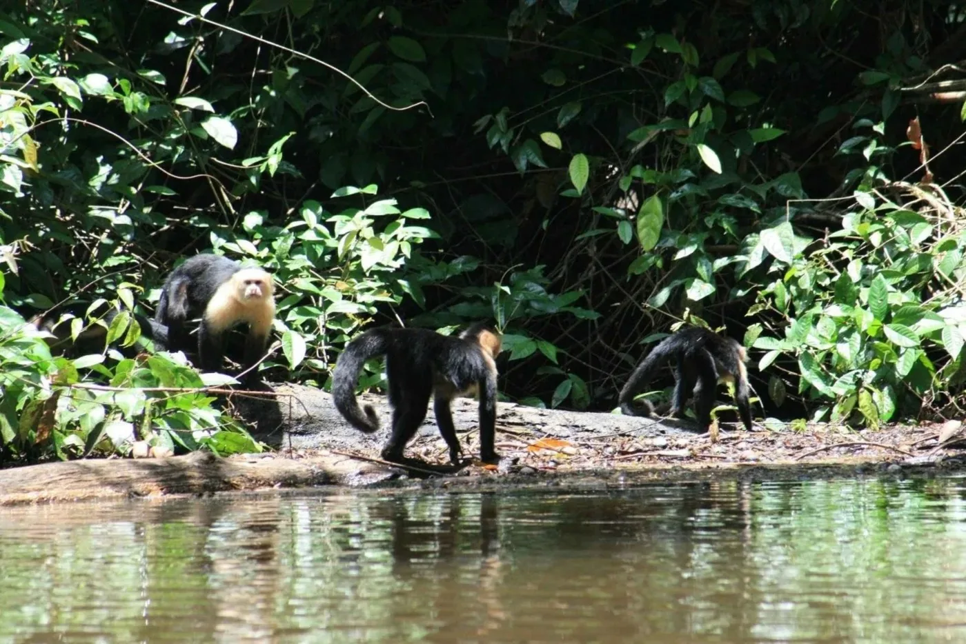
Paddle quietly into the park's side channels with a guide: caimans, sloths, monkeys and herons on the banks. A checked offer is listed below.

ICT: Miniguide of Tortuguero & Parismina (PDF, October 2024) – getting there, turtle seasons, tours ↗

Open in OpenStreetMap ↗Location source ↗

10.51840, -83.51742

Nature · Canal on the park edge

Caño Chiquero

Waterway from the main canal into the forest west of the village.

Open in OpenStreetMap ↗Location source ↗

10.53566, -83.51846

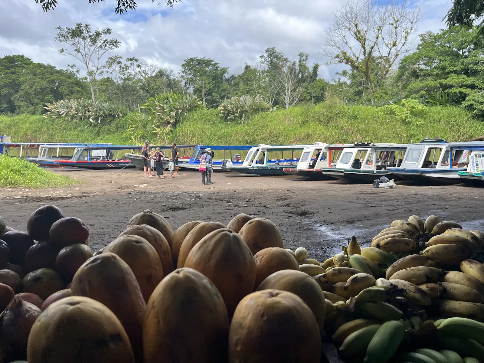
La Pavona boat landing on the way to Tortuguero National Park with covered boats on the riverbank
Photo: ADumbl ↗ · CC BY-SA 4.0 ↗

Arrival · Boat landing, outside the park

La Pavona

Main route to Tortuguero: car park, restaurant and boats to the village. No lodging.

Where the road ends and the boat begins.

Boats to Tortuguero
7:30, 12:30, 16:30
Parking
US$10 a day
Lodging
none

How to get there: by boat from La Pavona, from Caño Blanco or by air

Via Cariari to La Pavona

From San José take Route 32 to Guápiles, continue to Cariari and on to the La Pavona landing. According to the ICT, buses run from Cariari to La Pavona at 6:00, 11:00 and 15:00.

Costa Rica Tourism Board (ICT): Tortuguero National Park – area, history, directions, opening hours ↗

How to get there: by boat from La Pavona, from Caño Blanco or by air

Boat from La Pavona

According to the ICT, water taxis leave for Tortuguero at 7:30, 12:30 and 16:30 and return at 5:30, 9:00, 11:00 and 14:45. If you come by car, be at La Pavona by about 16:00; otherwise you will have to spend the night in Cariari.

ICT: Miniguide of Tortuguero & Parismina (PDF, October 2024) – getting there, turtle seasons, tours ↗

How to get there: by boat from La Pavona, from Caño Blanco or by air

Parking at La Pavona

The car park at the landing costs US$10 a day and is guarded around the clock, according to the ICT. There is no lodging at La Pavona.

ICT: Miniguide of Tortuguero & Parismina (PDF, October 2024) – getting there, turtle seasons, tours ↗

Open in OpenStreetMap ↗Location source ↗

10.53764, -83.59078

Surroundings · Village on the southern edge

Barra de Parismina

Near the second park entrance, the Jalova station.

How to get there: by boat from La Pavona, from Caño Blanco or by air

Via Caño Blanco to Jalova

For the southern Jalova sector, drive via Siquirres to Caño Blanco and continue by private boat only.

Costa Rica Tourism Board (ICT): Tortuguero National Park – area, history, directions, opening hours ↗

Open in OpenStreetMap ↗Location source ↗

10.30875, -83.35207

Locations verified from the linked original sources and OpenStreetMap. The map shows no trails or park boundaries; markers do not imply that access is permitted.

Map: © OpenStreetMap contributors, OpenMapTiles, OpenFreeMap. Elevation: Terrain Tiles (Mapzen, AWS Open Data); 3DEP, GMTED2010 and SRTM courtesy of the U.S. Geological Survey; EU-DEM (Copernicus, European Union); ETOPO1 (NOAA); ArcticDEM (NSF, DigitalGlobe); Geoscience Australia; Open Data Austria (DGM); Open Government Licence – Canada; INEGI; Land Information New Zealand; Kartverket; Environment Agency (UK).

Park photo: Photo: Lars0001 ↗ · Public domain ↗

Loading map …