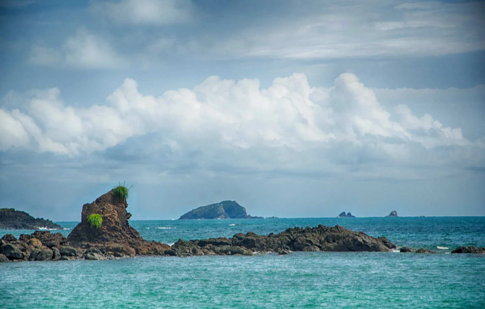
All places Photo: Mark Cowell ↗ · CC BY 3.0 ↗
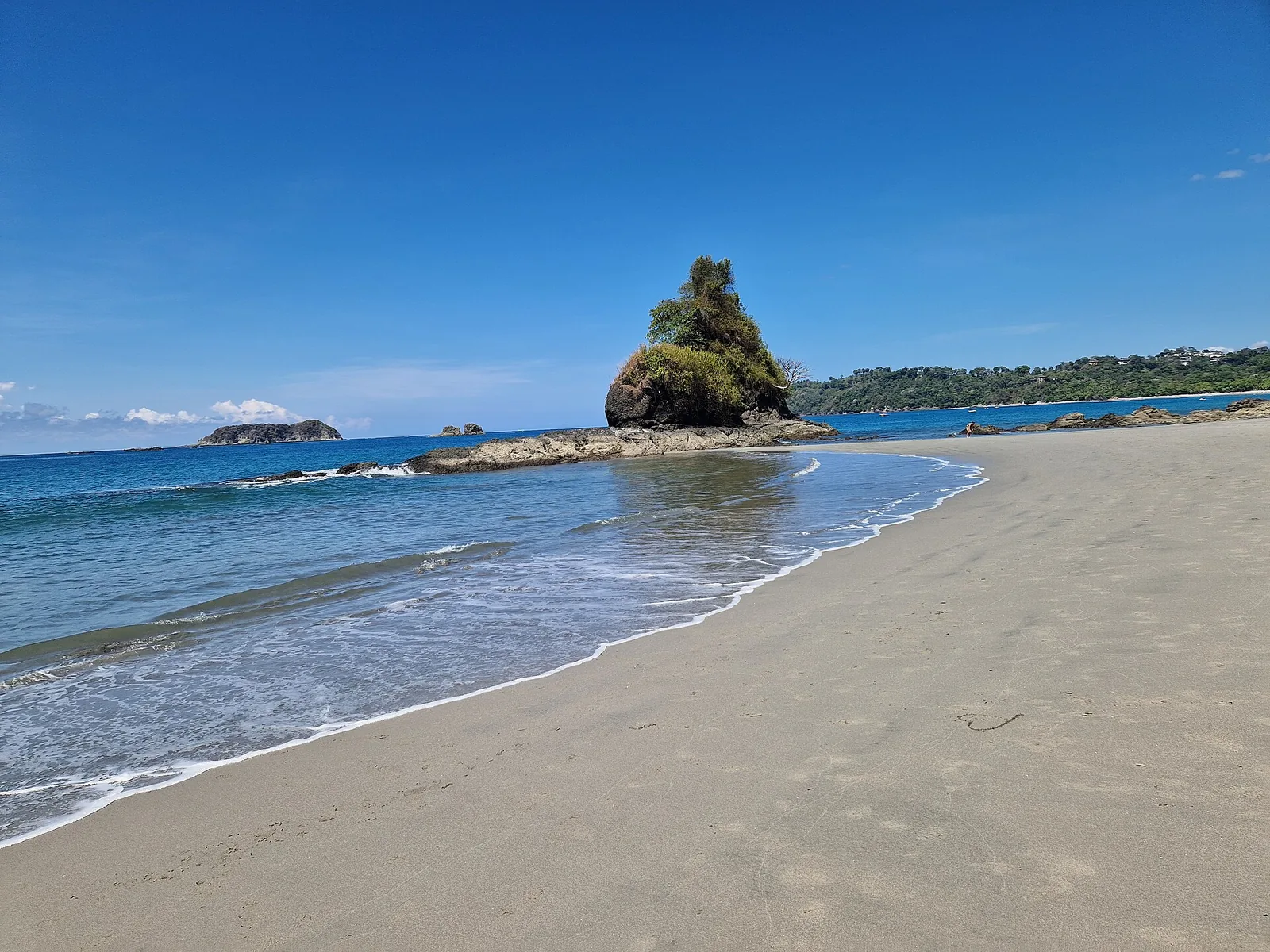
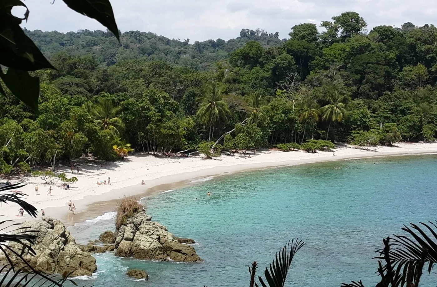
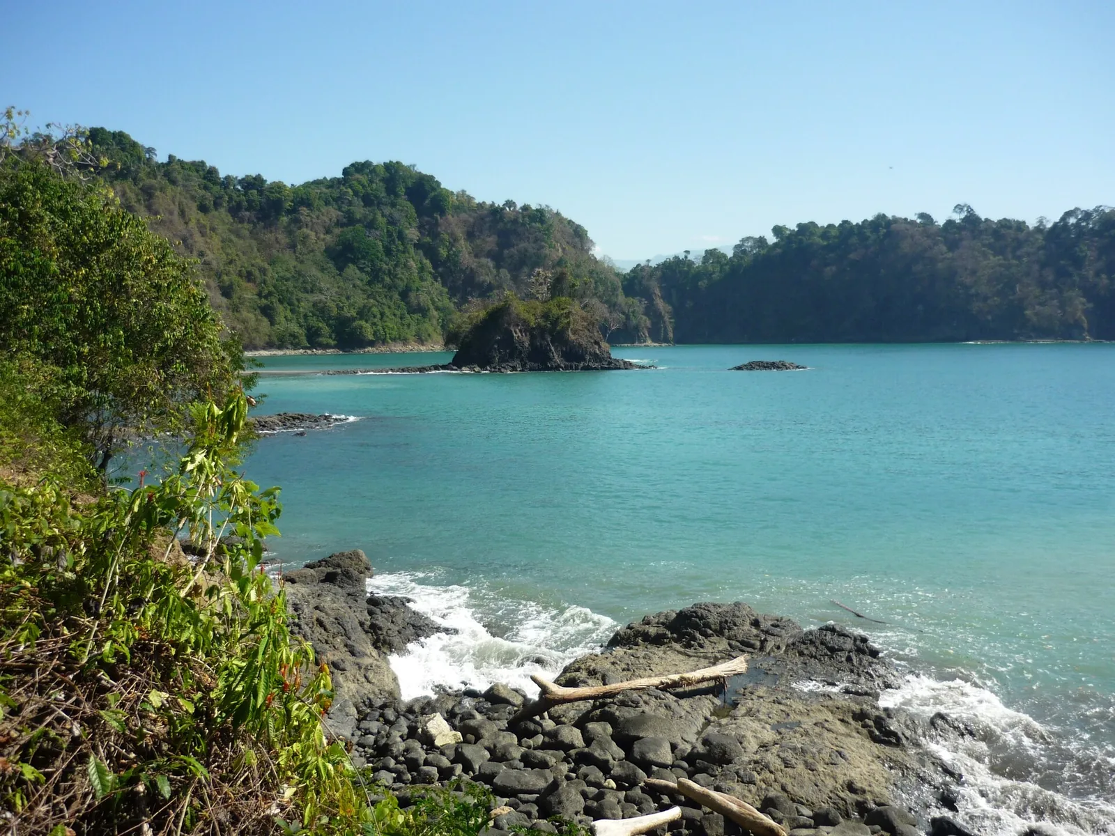
Playa Manuel Antonio Sheltered bay south of Punta Catedral, where many guided tours end.
The park's best-known bay, sheltered by Punta Catedral.
Location south of Punta Catedral
Beaches in the park 3 according to the ICT
End point of many tours yes Add to your Manuel Antonio National Park visit Open in OpenStreetMap ↗ Location source ↗
9.38088, -84.14560
All places
Playa Espadilla Sur Long beach north of Punta Catedral, linked to Playa Manuel Antonio.
Add to your Manuel Antonio National Park visit Open in OpenStreetMap ↗ Location source ↗
9.38394, -84.14601
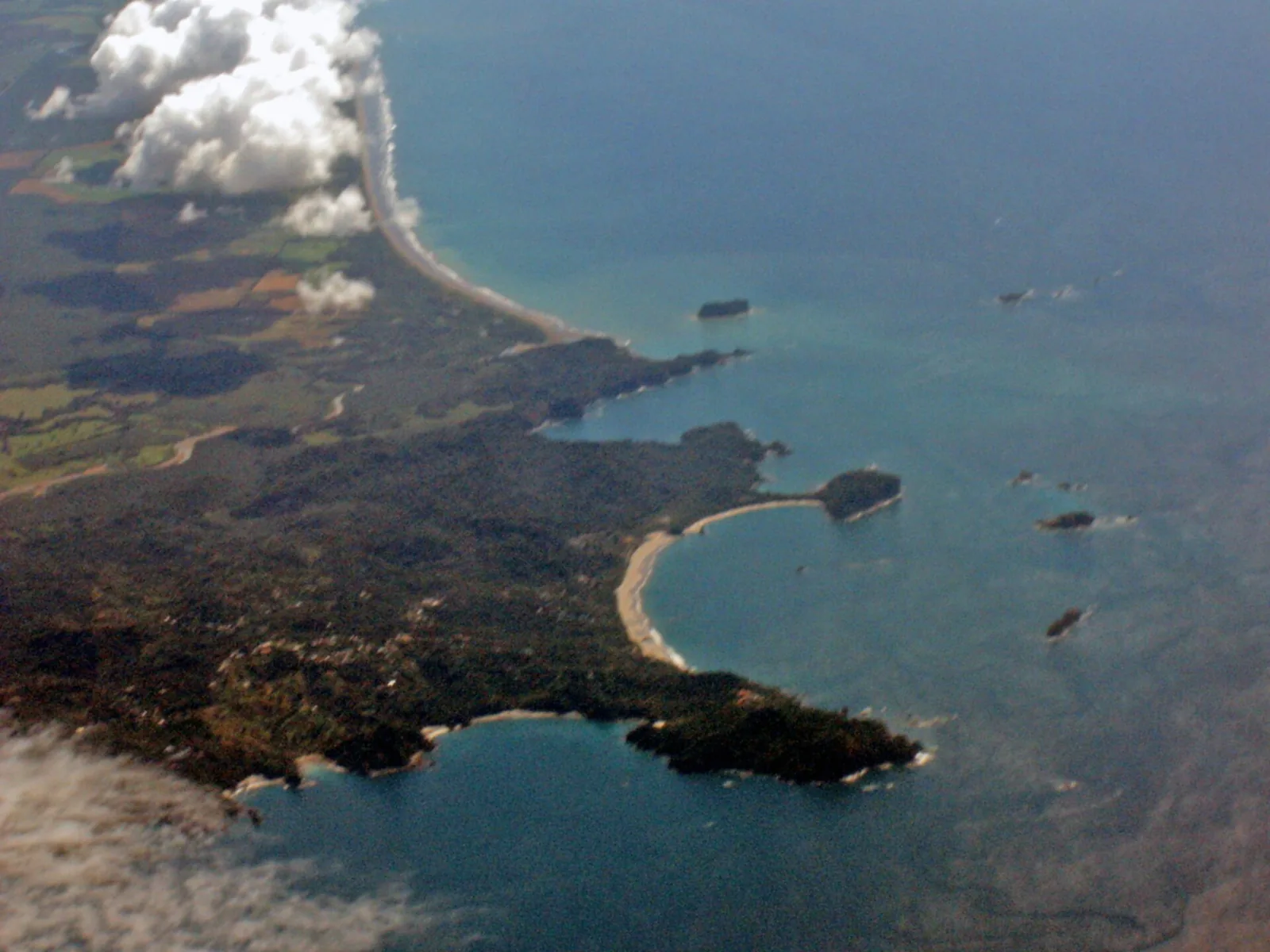
All places Photo: Mariordo (Mario Roberto Duran Ortiz) ↗ · CC BY-SA 3.0 ↗
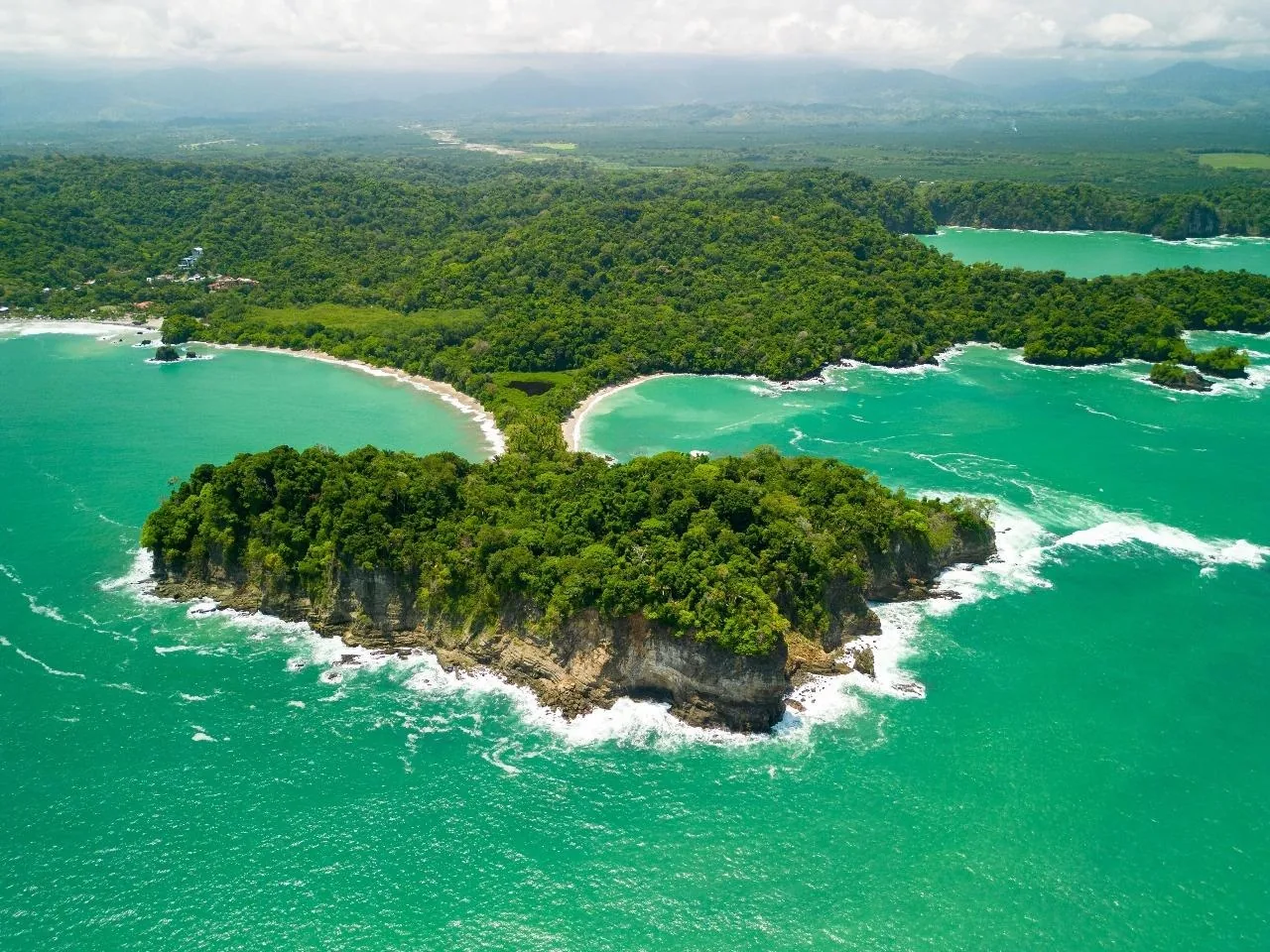
Punta Catedral Links the Manuel Antonio and Espadilla Sur beaches; loop trail with viewpoints.
A headland that separates two beaches.
Links Manuel Antonio and Espadilla Sur
Islands off the coast 12 in the park Add to your Manuel Antonio National Park visit Open in OpenStreetMap ↗ Location source ↗
9.37790, -84.14679
All places Photo: Axxis10 ↗ · CC BY-SA 4.0 ↗
Playa Puerto Escondido The third beach named by the ICT, in the east of the land area.
The third beach, in the east of the park.
Location eastern part of the park
Trail continues to Punta Serrucho Add to your Manuel Antonio National Park visit Open in OpenStreetMap ↗ Location source ↗
9.38338, -84.13576
All places
Playa Gemelas Small cove between Manuel Antonio and Puerto Escondido.
Add to your Manuel Antonio National Park visit Open in OpenStreetMap ↗ Location source ↗
9.37968, -84.13955
All places
Punta Serrucho At the end of the trail to Puerto Escondido, on the park's south coast.
Add to your Manuel Antonio National Park visit Open in OpenStreetMap ↗ Location source ↗
9.37003, -84.12334
All places
Sendero Miradores Trail to the viewpoints above the coast in the interior of the park.
Add to your Manuel Antonio National Park visit Open in OpenStreetMap ↗ Location source ↗
9.38527, -84.13646
All places
Sendero Catarata Short trail in the north of the park to a waterfall that mainly runs in the rainy season.
Add to your Manuel Antonio National Park visit Open in OpenStreetMap ↗ Location source ↗
9.39018, -84.14158
All places
Playa Espadilla The long beach at the village of Manuel Antonio, in front of the park entrance.
Add to your Manuel Antonio National Park visit Open in OpenStreetMap ↗ Location source ↗
9.39262, -84.15198
All places
Manuel Antonio (village) According to the ICT, the park lies at its end; hotels and restaurants line the road from Quepos.
Add to your Manuel Antonio National Park visit Open in OpenStreetMap ↗ Location source ↗
9.40857, -84.15476
All places
Quepos About 7 km (4.3 mi) from the park; buses, harbour and supplies.
Add to your Manuel Antonio National Park visit Open in OpenStreetMap ↗ Location source ↗
9.43212, -84.16250
All places
La Managua Airport Small airstrip north of Quepos.
Add to your Manuel Antonio National Park visit Open in OpenStreetMap ↗ Location source ↗
9.44443, -84.12865
Locations verified from the linked original sources and OpenStreetMap. The map shows no trails or park boundaries; markers do not imply that access is permitted.
Map: © OpenStreetMap contributors, OpenMapTiles, OpenFreeMap. Elevation: Terrain Tiles (Mapzen, AWS Open Data); 3DEP, GMTED2010 and SRTM courtesy of the U.S. Geological Survey; EU-DEM (Copernicus, European Union); ETOPO1 (NOAA); ArcticDEM (NSF, DigitalGlobe); Geoscience Australia; Open Data Austria (DGM); Open Government Licence – Canada; INEGI; Land Information New Zealand; Kartverket; Environment Agency (UK).
Park photo: Photo: Hanay ↗ · CC BY-SA 4.0 ↗