National Parks Atlas
To the park
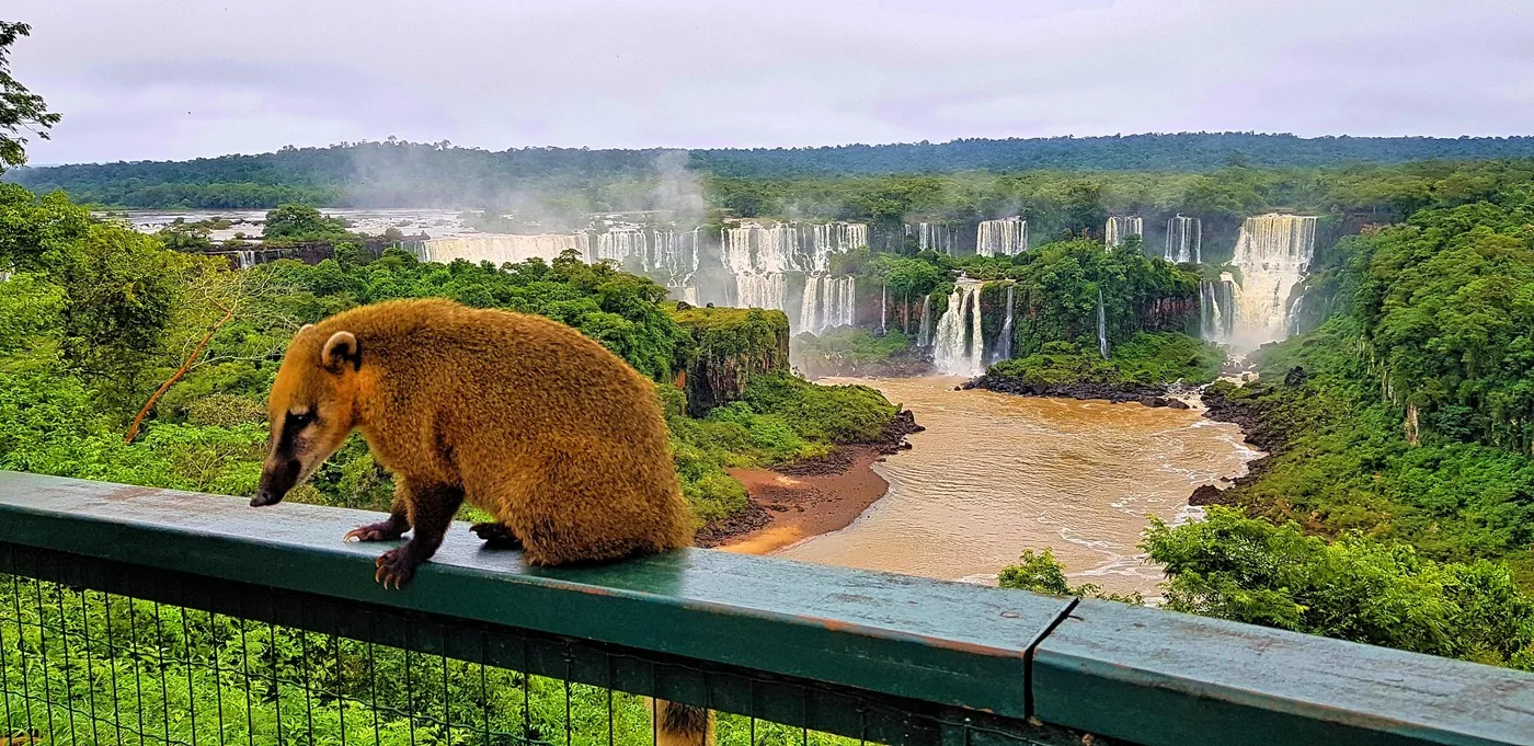
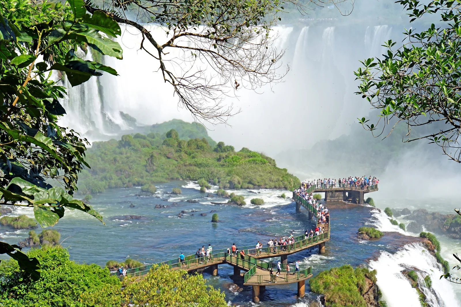
From the Brazilian side of Iguaçu National Park you look over a tier of many white waterfalls to the rocks and forest behind

Iguaçu National Park: map

11 places with verified coordinates · 6 with photo

Bookable in the park · 4

Ad · partner links: we may earn a commission if you book – at no extra cost to you. Thank you for supporting the atlas. Offer details checked 4 Oct 2026; dates and prices with the provider.

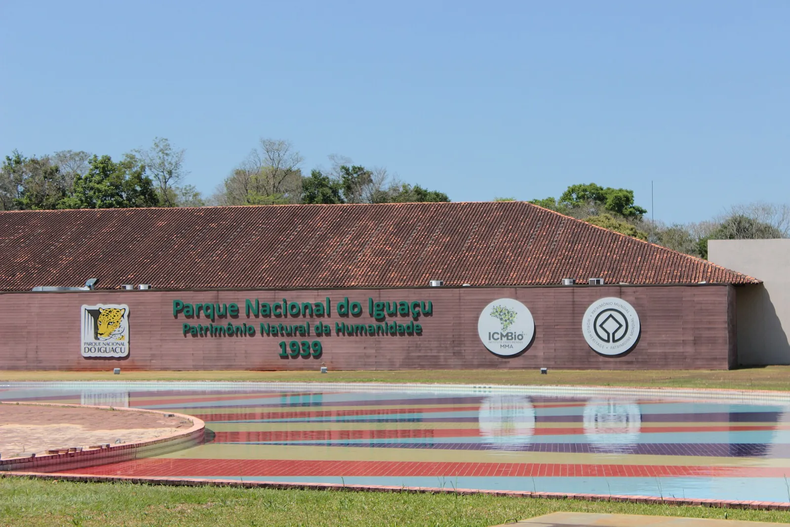
Entrance building of Iguaçu National Park with a tiled roof and the lettering “Parque Nacional do Iguaçu – Patrimônio Natural da Humanidade 1939”, a colourful pool in front
Photo: Bernardo Moraes ↗ · CC BY-SA 4.0 ↗

Arrival · Entrance, car park, park bus

Visitor centre

BR-469, kilometre 18. Tickets are scanned here and you board the park bus.

Iguaçu tickets: 134 reais, online only with a time slot

134 reais for foreign visitors

The full ticket (Ingresso Integral) costs 134 reais in 2026: 131 reais entry and a voluntary contribution of 3 reais to the Fundo Iguaçu. The fees have applied since 19 December 2025, approved by the authority ICMBio.

Urbia+Cataratas: 2026 ticket prices, approved by ICMBio on 17 Dec 2025 ↗

Iguaçu tickets: 134 reais, online only with a time slot

Parking and lockers

The car park at the visitor centre costs 65 reais a day for cars and motorbikes and is open from 7:00 to 19:00. A locker costs 45 reais.

Urbia+Cataratas: general information (hours, bus, parking, lockers) ↗

How to get there from Foz do Iguaçu: line 120 or a tour

No private cars in the park

The park is a strictly protected area; only authorised vehicles may enter. If you come by car, park at the visitor centre and take the park bus.

Urbia+Cataratas: general information (hours, bus, parking, lockers) ↗

Guided from here · Ad

Partner links: we may earn a commission if you book – at no extra cost to you. Thank you for supporting the atlas. Dates and prices with the provider.

Open in OpenStreetMap ↗Location source ↗

-25.61404, -54.47931

Nature · Helicopter base

Helisul

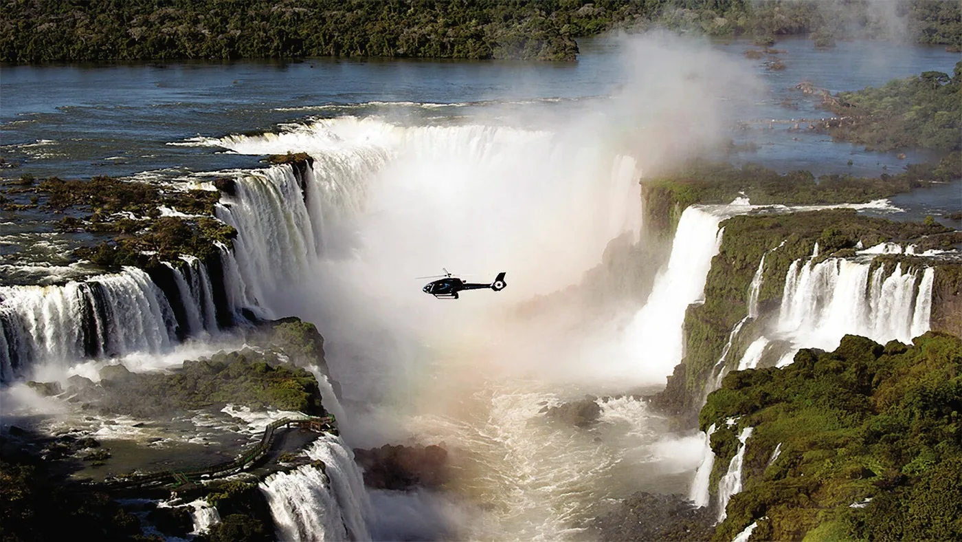
Departure point for scenic flights over the falls, next to the visitor centre, outside the park.

Iguazu Falls tours from Brazil

Helicopter only from here

The park offers scenic flights over the falls with the operator Helisul. In Argentina flights by motor-powered aircraft over protected areas are prohibited by law.

APN Argentina: frequently asked questions (overflight ban, Law 22,351 Art. 5 l) ↗

Open in OpenStreetMap ↗Location source ↗

-25.61339, -54.48124

Arrival · Forest trail

Poço Preto stop

Start of the Caminho do Poço Preto, 9 km (5.6 mi) through the Atlantic Forest.

Iguazu Falls tours from Brazil

Caminho do Poço Preto

9 km (5.6 mi) each way through the Atlantic Forest, good for birdwatching. Walkers start between 9:00 and 12:00, cyclists until 15:00; guided bike tours at 9:20, 11:20 and 13:20 cost extra.

Urbia+Cataratas: visitor guide (trails, experiences, food) ↗

Open in OpenStreetMap ↗Location source ↗

-25.63007, -54.46226

Water · Old hydroelectric plant

Usina São João

At the end of the Circuito São João: the first hydroelectric plant of Foz do Iguaçu, now the Espaço Usina café.

Iguazu Falls tours from Brazil

Circuito São João

2.8 km (1.7 mi) through the forest with swimming spots by the river and a waterfall; at the end the Espaço Usina in the first hydroelectric plant of Foz do Iguaçu.

Urbia+Cataratas: visitor guide (trails, experiences, food) ↗

Open in OpenStreetMap ↗Location source ↗

-25.62564, -54.48086

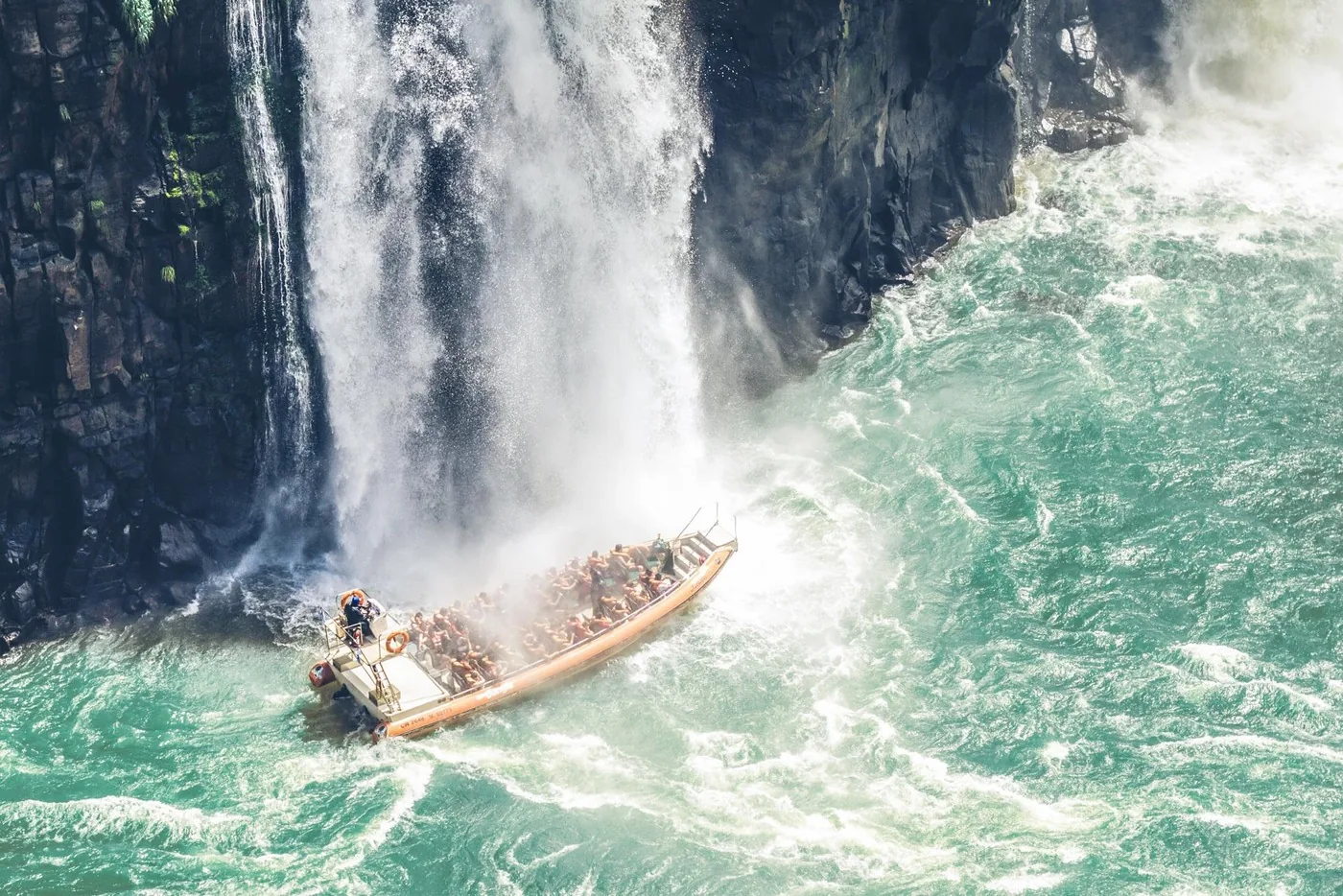
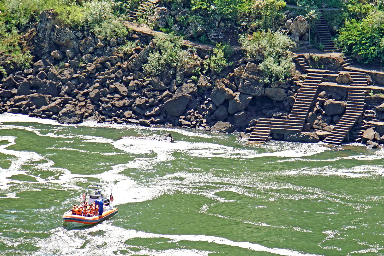
An inflatable boat crosses green water below Iguazu Falls, with steps climbing over rocks on the bank
Photo: Dennis G. Jarvis ↗ · CC BY-SA 2.0 ↗

Nature · Boat trips

Macuco Safari

BR-469, kilometre 25. The boats to the falls leave from here.

By boat against the current, until the falls tower above you.

Duration
about 2 hours
On the water
25 to 30 minutes
Departures
about every 20 minutes
Children up to 6
free
Park entry
not included
Address
BR-469, km 25

Iguazu Falls tours from Brazil

Macuco Safari

Boat trip upstream close to the falls, about two hours in total, of which 25 to 30 minutes on the water. Departures about every 20 minutes without reservation; park entry is not included.

Macuco Safari: boat trips in Parque Nacional do Iguaçu (duration, park entry, departures) ↗

Open in OpenStreetMap ↗Location source ↗

-25.65127, -54.43807

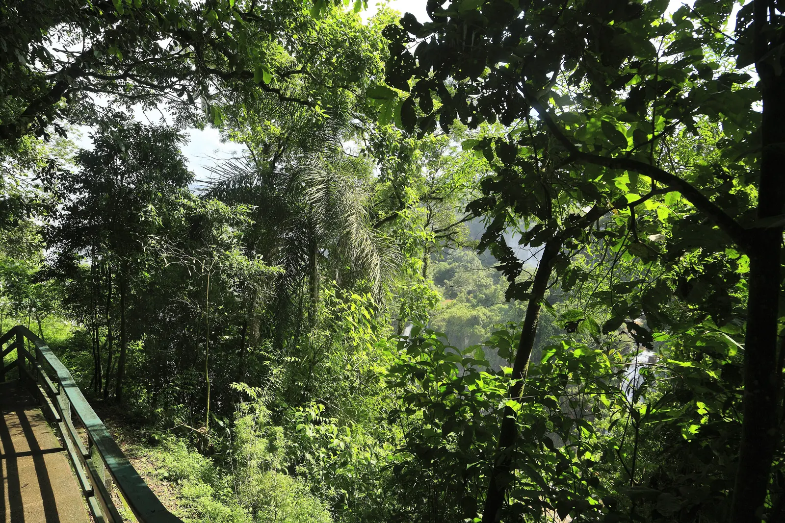
A concrete path with a railing leads through dense Atlantic Forest in Iguaçu National Park towards the falls
Photo: Falk2 ↗ · CC BY-SA 4.0 ↗

Arrival · Start of the panoramic trail

Trilha das Cataratas stop

Get off the park bus here and start the trail along the falls.

The classic trail: from the park bus along the edge of the falls and out into the river.

Length
about 1.5 km (0.9 mi)
Visit
about 2 hours
Departure
Trilha das Cataratas stop
End
Walkway and lift
In the ticket
included

Iguazu Falls tours from Brazil

Trilha das Cataratas: about 1.5 kilometres

The classic trail from the park bus along the falls, with viewpoints and, at the end, the walkway in front of the Devil's Throat. According to the operator the visit takes about two hours.

Urbia+Cataratas: visitor guide (trails, experiences, food) ↗

Open in OpenStreetMap ↗Location source ↗

-25.68414, -54.43922

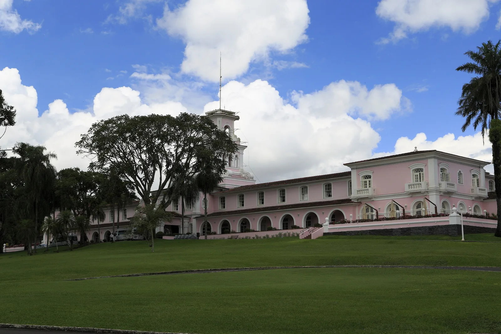
The pink Belmond Hotel das Cataratas with its tower stands behind a wide lawn in Iguaçu National Park
Photo: Falk2 ↗ · CC BY-SA 4.0 ↗

Where to stay · Hotel in the park

Belmond Hotel das Cataratas

The only hotel in the Brazilian national park, opposite the falls.

A pink building from 1958, the only hotel in the park.

Opened
1958
Location
opposite the falls
Special feature
only hotel in the park

Where to stay: one hotel in the park, otherwise Foz do Iguaçu

Belmond Hotel das Cataratas

According to the operator the only hotel in the park, opened in 1958, the pink building opposite the falls.

Urbia+Cataratas (concessionaire): Parque Nacional do Iguaçu (founding, area, trails, helicopter, boat) ↗

Open in OpenStreetMap ↗Location source ↗

-25.68412, -54.43842

A walkway on the Brazilian side leads into the river in front of the Devil's Throat, visitors standing between waterfalls and spray
Photo: Dennis G. Jarvis ↗ · CC BY-SA 2.0 ↗

Trails · Walkway in the river

Viewing walkway in front of the Devil's Throat

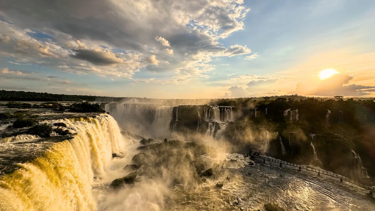
End of the Trilha das Cataratas: a walkway in the river in front of the Devil's Throat.

A walkway in the river, with spray coming from every side.

Location
End of the Trilha das Cataratas
View
Devil's Throat from below
Weather
constant drizzle
Access
included in the ticket

Open in OpenStreetMap ↗Location source ↗

-25.69123, -54.43782

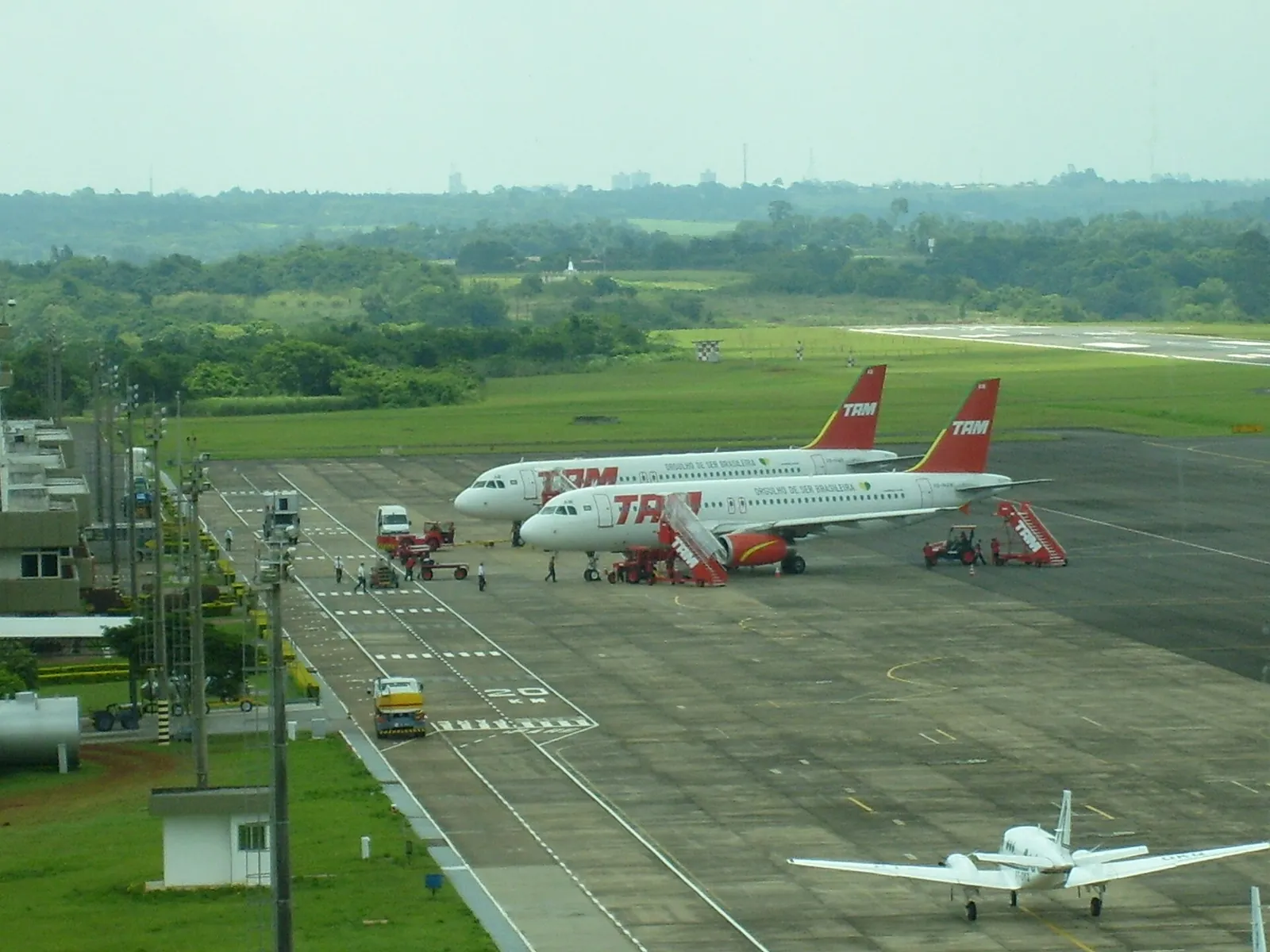
Apron of Foz do Iguaçu airport from above with two TAM airliners and a light aircraft, green hills beyond
Photo: Fernando Barbosa ↗ · Public Domain ↗

Nature · Aeroporto Internacional

Foz do Iguaçu airport

The airport is on the road to the park, a few kilometres before the visitor centre.

How to get there from Foz do Iguaçu: line 120 or a tour

Airport at the gate

Foz do Iguaçu international airport is on the road to the park. Line 120 connects the two.

Urbia+Cataratas (concessionaire): Parque Nacional do Iguaçu (founding, area, trails, helicopter, boat) ↗

Open in OpenStreetMap ↗Location source ↗

-25.59301, -54.49128

Nature · Line 120 to the park

TTU city bus terminal

Terminal de Transporte Urbano in Foz do Iguaçu: start of line 120 Parque Nacional–Aeroporto.

How to get there from Foz do Iguaçu: line 120 or a tour

Bus line 120

From the Terminal de Transporte Urbano in Foz do Iguaçu, line 120 Parque Nacional–Aeroporto runs to the park; the same bus takes you back.

Urbia+Cataratas: general information (hours, bus, parking, lockers) ↗

Where to stay: one hotel in the park, otherwise Foz do Iguaçu

Foz do Iguaçu

The town is the base for the Brazilian side. Line 120 runs from the TTU bus terminal to the park.

Urbia+Cataratas: general information (hours, bus, parking, lockers) ↗

Open in OpenStreetMap ↗Location source ↗

-25.53264, -54.58745

Nature · Border bridge to Argentina

Ponte Tancredo Neves

Route to Puerto Iguazú and the Argentine side of the falls.

How to get there from Foz do Iguaçu: line 120 or a tour

From Puerto Iguazú across the border

On the Argentine side is Puerto Iguazú with its own airport. The route runs over the Tancredo Neves bridge; bring your passport for the border crossing.

Urbia+Cataratas (concessionaire): Parque Nacional do Iguaçu (founding, area, trails, helicopter, boat) ↗

Open in OpenStreetMap ↗Location source ↗

-25.58956, -54.56104

Locations verified from the linked original sources and OpenStreetMap. The map shows no trails or park boundaries; markers do not imply that access is permitted.

Map: © OpenStreetMap contributors, OpenMapTiles, OpenFreeMap. Elevation: Terrain Tiles (Mapzen, AWS Open Data); 3DEP, GMTED2010 and SRTM courtesy of the U.S. Geological Survey; EU-DEM (Copernicus, European Union); ETOPO1 (NOAA); ArcticDEM (NSF, DigitalGlobe); Geoscience Australia; Open Data Austria (DGM); Open Government Licence – Canada; INEGI; Land Information New Zealand; Kartverket; Environment Agency (UK).

Park photo: Photo: Falk2 ↗ · CC BY-SA 4.0 ↗

Loading map …