

Milford Sound/Piopiotahi: a fiord at the end of a road
120 kilometres from Te Anau, through the Homer Tunnel and down hairpin bends to the sea.
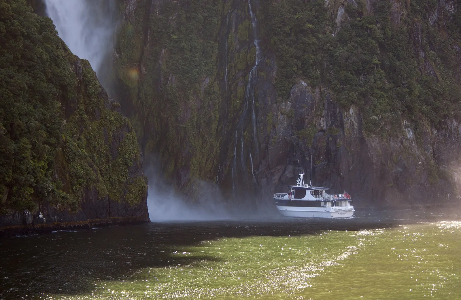
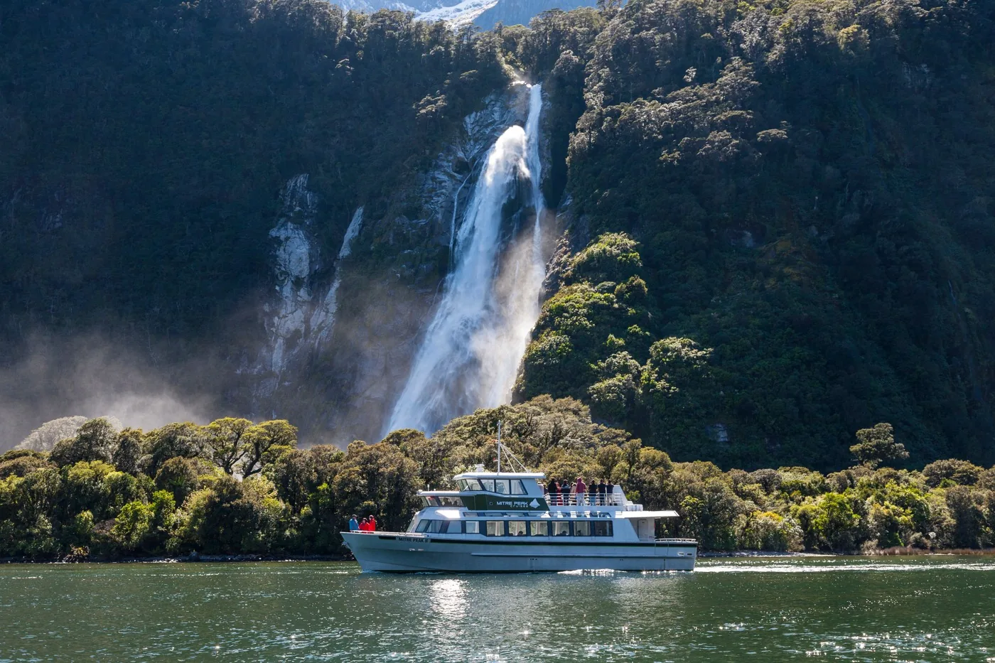
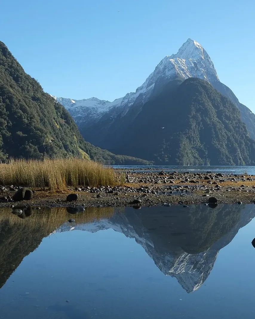
Milford Sound/Piopiotahi lies in the north-west of Fiordland National Park and stretches 16 km (10 mi) to the open sea. According to the Department of Conservation (DOC), Mitre Peak rises 1,692 m (5,551 ft) straight out of the water, and below the surface the fiord is up to 265 m deep. With up to seven metres of rain a year, it is one of the wettest areas in New Zealand.
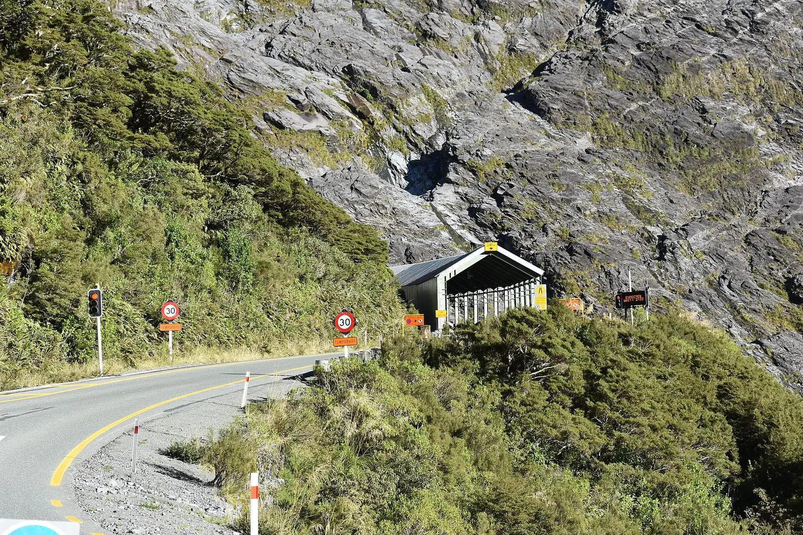
A single road leads there: the Milford Road, part of State Highway 94, 120 km (75 mi) from Te Anau. DOC allows about two hours without stops; with viewpoints, short walks and a cruise it becomes an eight-hour day. Without a car you take the bus or fly to the airstrip on the fiord.
Access itself costs nothing – under the General Policy for National Parks it is free. The government does, however, want international visitors to pay here in future; the bill had its first reading in May 2026.
DOC: Milford Road and Milford Sound/Piopiotahi ↗
In numbers
- Length to the sea
- 16 km
- Depth
- up to 265 m
- Mitre Peak
- 1,692 m
- Rain
- up to 7 m a year
- Milford Road from Te Anau
- 120 km
- Driving time without stops
- about 2 hours
- Homer Tunnel
- 1.2 km at 945 m
- From Queenstown and back
- 600 km, 12–14 hours
- Visitors a year (2024 estimate)
- 750,000
- Share of international visitors
- almost 80%