All places
Fiordland National Park Visitor Centre Te Rua-o-te-moko, 1 Lakefront Drive in Te Anau: information on tracks, huts and weather, and collection of booked hut tickets.
Add to your Fiordland National Park visit Open in OpenStreetMap ↗ Location source ↗
-45.42386, 167.71898
All places Photo: Szilas ↗ · CC BY-SA 4.0 ↗
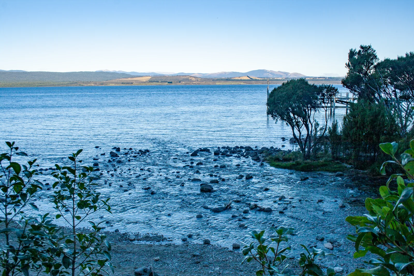
Te Anau According to DOC, the gateway to Fiordland and the nearest town with shops, accommodation and fuel. From here it is two hours to Milford Sound.
A trip into the mountain, by boat across the lake.
Location western shore of Lake Te Anau
Inside the park yes, per the OpenStreetMap boundary
Access by boat only Guided from here · Ad
Partner links: we may earn a commission if you book – at no extra cost to you. Thank you for supporting the atlas. Dates and prices with the provider.
Add to your Fiordland National Park visit Open in OpenStreetMap ↗ Location source ↗
-45.41449, 167.71749
All places
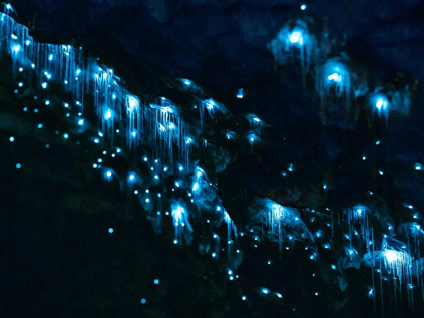
Te Ana-au Glow-Worm Caves Reached only by boat across the lake. According to the OpenStreetMap boundary, the caves lie inside the national park.
Add to your Fiordland National Park visit Open in OpenStreetMap ↗ Location source ↗
-45.29450, 167.72644
All places
Te Anau Downs From here the boat takes 1 hour 15 minutes to Glade Wharf, the start of the Milford Track.
Add to your Fiordland National Park visit Open in OpenStreetMap ↗ Location source ↗
-45.19246, 167.82823
All places
Glade Wharf Wharf at the northern end of Lake Te Anau. No road – boat access only.
Add to your Fiordland National Park visit Open in OpenStreetMap ↗ Location source ↗
-44.93215, 167.93031
All places
Omanui / McKinnon Pass With a memorial to Quintin McKinnon. According to DOC, the pass shelter stands at 1,154 m (3,786 ft).
Add to your Fiordland National Park visit Open in OpenStreetMap ↗ Location source ↗
-44.80249, 167.76578
All places
Sutherland Falls Side trip from the Milford Track, 1 hour 30 minutes return.
Add to your Fiordland National Park visit Open in OpenStreetMap ↗ Location source ↗
-44.80066, 167.72949
All places
Sandfly Point From here a 20-minute boat ride to Milford Sound.
Own page
Milford Sound A fiord 16 kilometres long, above which Mitre Peak rises 1,692 metres out of the water – at the end of a single road.
Getting there & cruises
Add to your Fiordland National Park visit Open in OpenStreetMap ↗ Location source ↗
-44.68356, 167.90253
All places
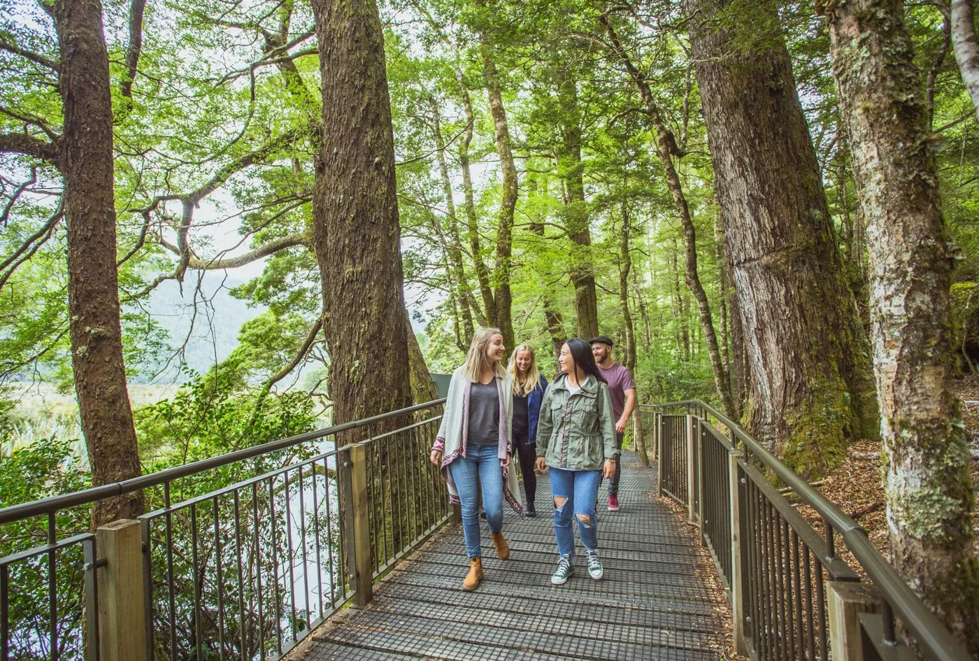
Mirror Lakes Small lakes in the Eglinton Valley that reflect the Earl Mountains on calm days.
Add to your Fiordland National Park visit Open in OpenStreetMap ↗ Location source ↗
-45.02842, 168.01118
All places
Knobs Flat According to DOC, one of three places with public toilets between Te Anau and Milford.
Add to your Fiordland National Park visit Open in OpenStreetMap ↗ Location source ↗
-44.97724, 168.01727
All places Photo: Pseudopanax at English Wikipedia ↗ · Public domain ↗
The Divide At 532 m (1,745 ft), the lowest crossing of the Southern Alps according to DOC. The Routeburn Track and the path to Key Summit start here.
The shortest way above the bushline on the Milford Road.
The Divide 532 m, lowest crossing of the Southern Alps
Key Summit return 1 to 1.5 hrs from the turn-off
From Te Anau 85 km
Plants beech forest to bog Own page
Milford Sound A fiord 16 kilometres long, above which Mitre Peak rises 1,692 metres out of the water – at the end of a single road.
Getting there & cruises
Add to your Fiordland National Park visit Open in OpenStreetMap ↗ Location source ↗
-44.82492, 168.11729
All places
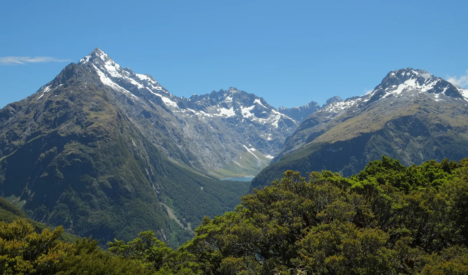
Key Summit Side track of the Routeburn Track with views of the Darran Mountains and the Hollyford Valley.
Things to do: cruises, Great Walks and day hikes
Key Summit: the short way up From The Divide along the Routeburn Track to the turn-off, then 1 to 1.5 hours return to the viewpoint above the bushline, with alpine tarns and views into the Hollyford Valley.
DOC: Routeburn Track – 2026/27 season, hut and campsite fees ↗
Add to your Fiordland National Park visit Open in OpenStreetMap ↗ Location source ↗
-44.81513, 168.12743
All places
Homer Tunnel At 945 m (3,100 ft), with traffic lights in summer. Waits of up to 20 minutes.
Own page
Milford Sound A fiord 16 kilometres long, above which Mitre Peak rises 1,692 metres out of the water – at the end of a single road.
Getting there & cruises
Add to your Fiordland National Park visit Open in OpenStreetMap ↗ Location source ↗
-44.76414, 167.98103
All places
The Chasm Viewpoint on the Milford Road on the Milford side of the tunnel. End of the avalanche no-stopping zone.
Own page
Milford Sound A fiord 16 kilometres long, above which Mitre Peak rises 1,692 metres out of the water – at the end of a single road.
Getting there & cruises
Add to your Fiordland National Park visit Open in OpenStreetMap ↗ Location source ↗
-44.72150, 167.94774
All places Photo: Pseudopanax at English Wikipedia ↗ · CC BY 4.0 ↗
Milford Sound Visitor Terminal The sightseeing boats leave from here. See our Milford Sound page.
The fiord most people come to Fiordland for – reached by a single road.
Length to the sea 16 km (10 mi)
Depth up to 265 m (869 ft)
Mitre Peak 1,692 m (5,551 ft)
Rain up to 7 m a year
From Te Anau 120 km, about 2 hrs
Marine reserve one of 10 in Fiordland Own page
Milford Sound A fiord 16 kilometres long, above which Mitre Peak rises 1,692 metres out of the water – at the end of a single road.
Getting there & cruises
Guided from here · Ad
Partner links: we may earn a commission if you book – at no extra cost to you. Thank you for supporting the atlas. Dates and prices with the provider.
Add to your Fiordland National Park visit Open in OpenStreetMap ↗ Location source ↗
-44.66822, 167.92703
All places
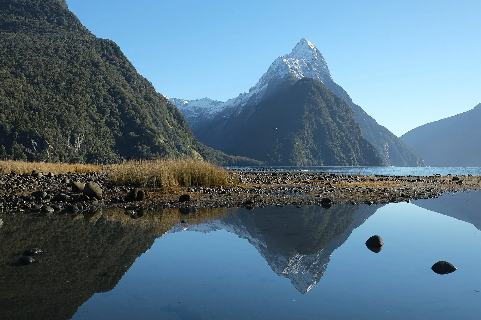
Mitre Peak According to DOC, it rises 1,692 m (5,551 ft) straight out of the water. Best seen from the Foreshore Walk.
Own page
Milford Sound A fiord 16 kilometres long, above which Mitre Peak rises 1,692 metres out of the water – at the end of a single road.
Getting there & cruises
Add to your Fiordland National Park visit Open in OpenStreetMap ↗ Location source ↗
-44.63258, 167.85489
All places
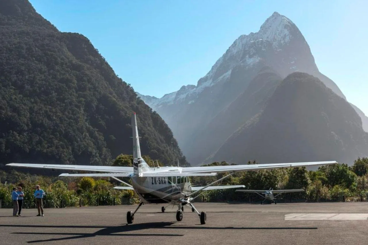
Milford Sound Airport Landing strip for scenic flights from Queenstown and Te Anau.
Own page
Milford Sound A fiord 16 kilometres long, above which Mitre Peak rises 1,692 metres out of the water – at the end of a single road.
Getting there & cruises
Add to your Fiordland National Park visit Open in OpenStreetMap ↗ Location source ↗
-44.67346, 167.92323
All places
Luxmore Hut Above the bushline over Lake Te Anau; bookings are required even outside the season.
Add to your Fiordland National Park visit Open in OpenStreetMap ↗ Location source ↗
-45.38526, 167.61919
All places
Pearl Harbour, Manapouri Boats leave from here across Lake Manapouri to West Arm.
Add to your Fiordland National Park visit Open in OpenStreetMap ↗ Location source ↗
-45.57023, 167.61294
All places
West Arm Change from the boat to the coach over Wilmot Pass.
Add to your Fiordland National Park visit Open in OpenStreetMap ↗ Location source ↗
-45.52378, 167.27422
All places
Wilmot Pass Toll road with no link to the rest of the road network; private vehicles only by barge and with a permit.
Add to your Fiordland National Park visit Open in OpenStreetMap ↗ Location source ↗
-45.50918, 167.19307
All places
Deep Cove Cruises on Doubtful Sound start here, as do four walking tracks from Deep Cove Hostel.
Add to your Fiordland National Park visit Open in OpenStreetMap ↗ Location source ↗
-45.46440, 167.15799
All places
Milford Foreshore Walk According to DOC, one of the best views of Mitre Peak.
Own page
Milford Sound A fiord 16 kilometres long, above which Mitre Peak rises 1,692 metres out of the water – at the end of a single road.
Getting there & cruises
Add to your Fiordland National Park visit Open in OpenStreetMap ↗ Location source ↗
-44.67154, 167.92446
All places
Hineteawa / Bowen Falls Falls into the fiord just north of the cruise terminal.
Own page
Milford Sound A fiord 16 kilometres long, above which Mitre Peak rises 1,692 metres out of the water – at the end of a single road.
Getting there & cruises
Add to your Fiordland National Park visit Open in OpenStreetMap ↗ Location source ↗
-44.66511, 167.92620
All places
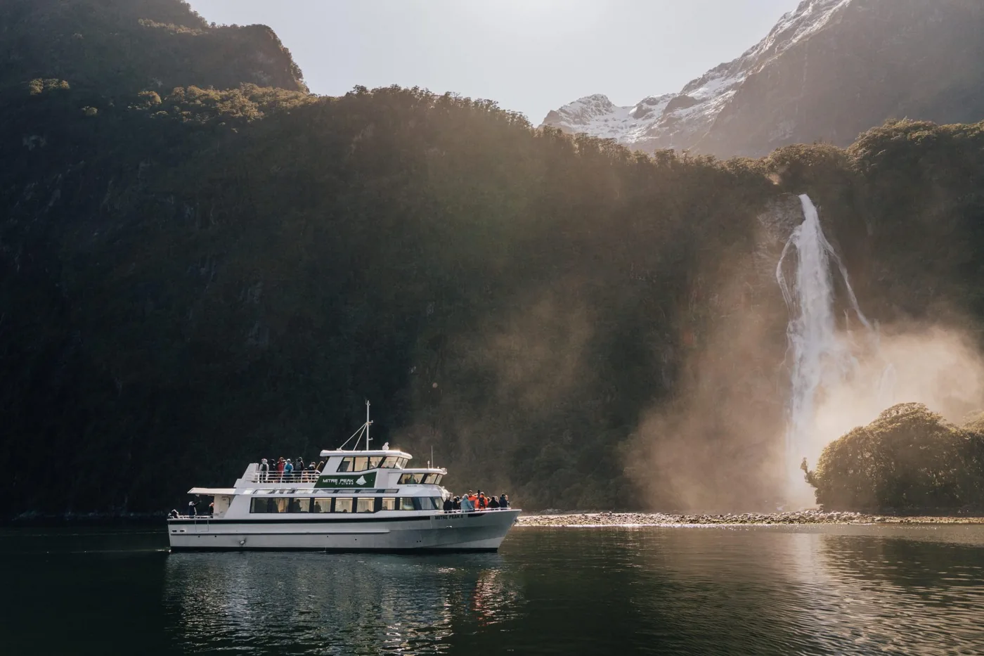
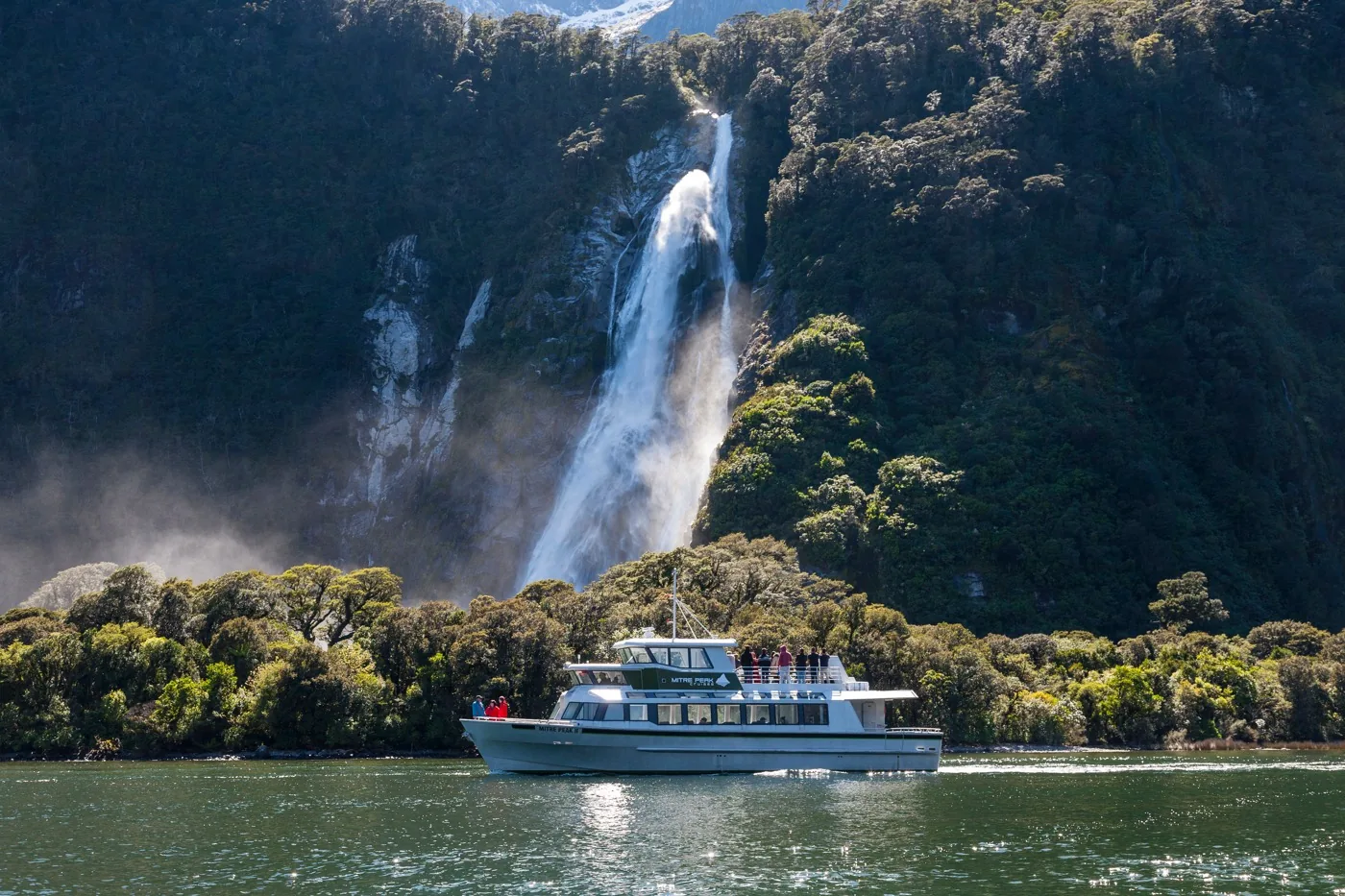
Waimānu / Stirling Falls On the north side of the fiord, seen from the boats.
Own page
Milford Sound A fiord 16 kilometres long, above which Mitre Peak rises 1,692 metres out of the water – at the end of a single road.
Getting there & cruises
Add to your Fiordland National Park visit Open in OpenStreetMap ↗ Location source ↗
-44.60921, 167.87118