All places Photo: Nnthurber ↗ · CC BY-SA 4.0 ↗
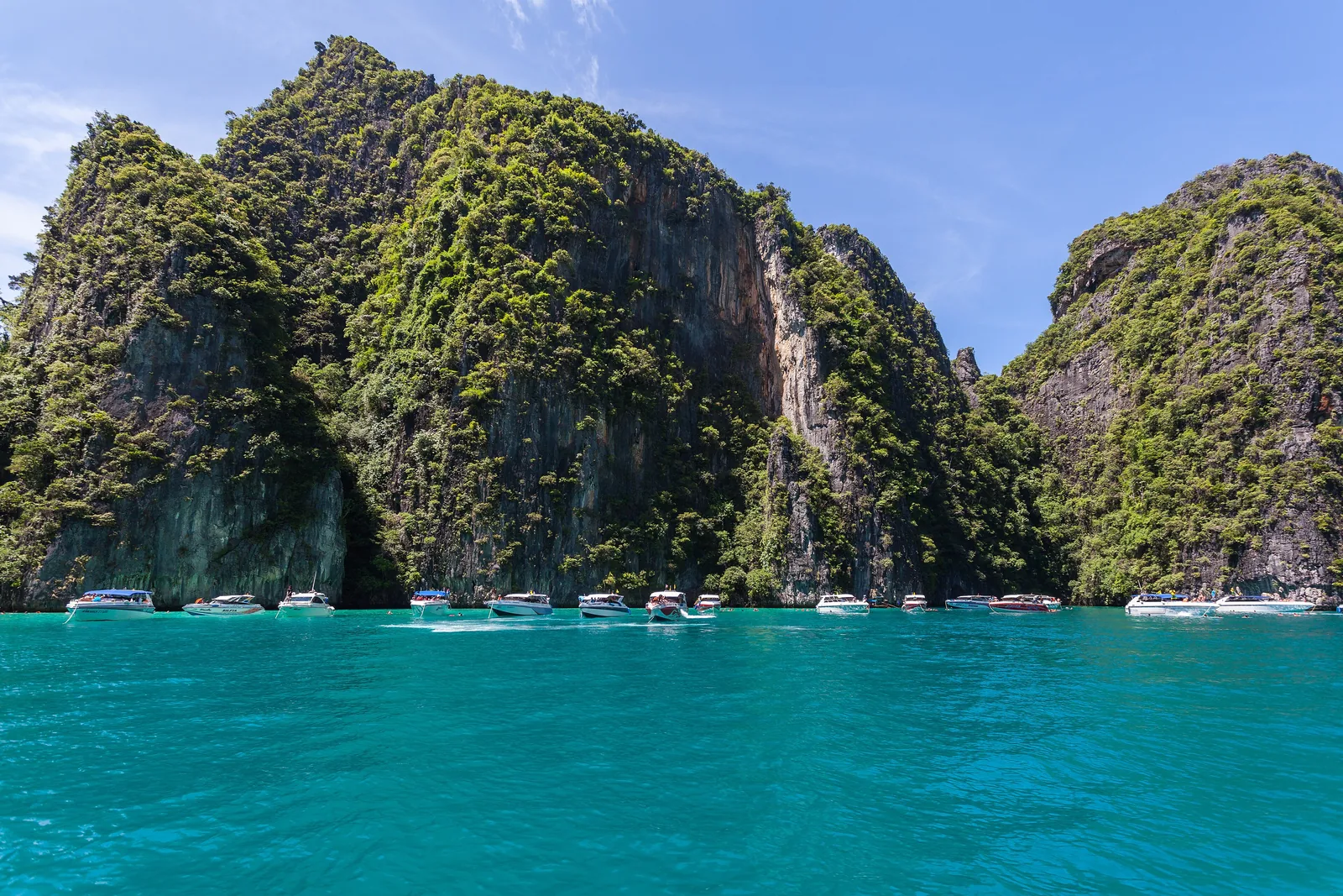
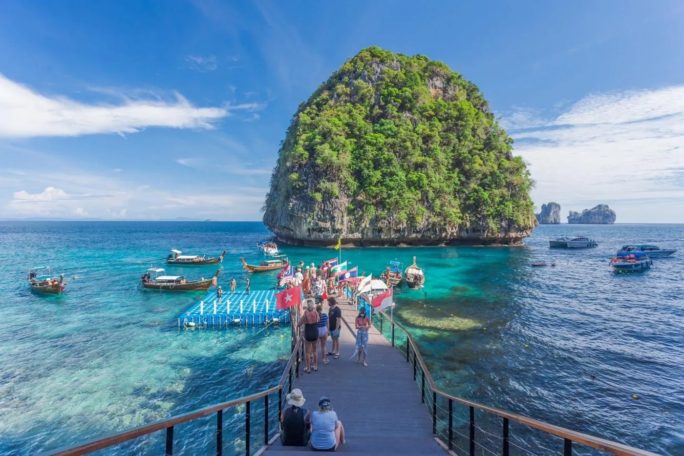
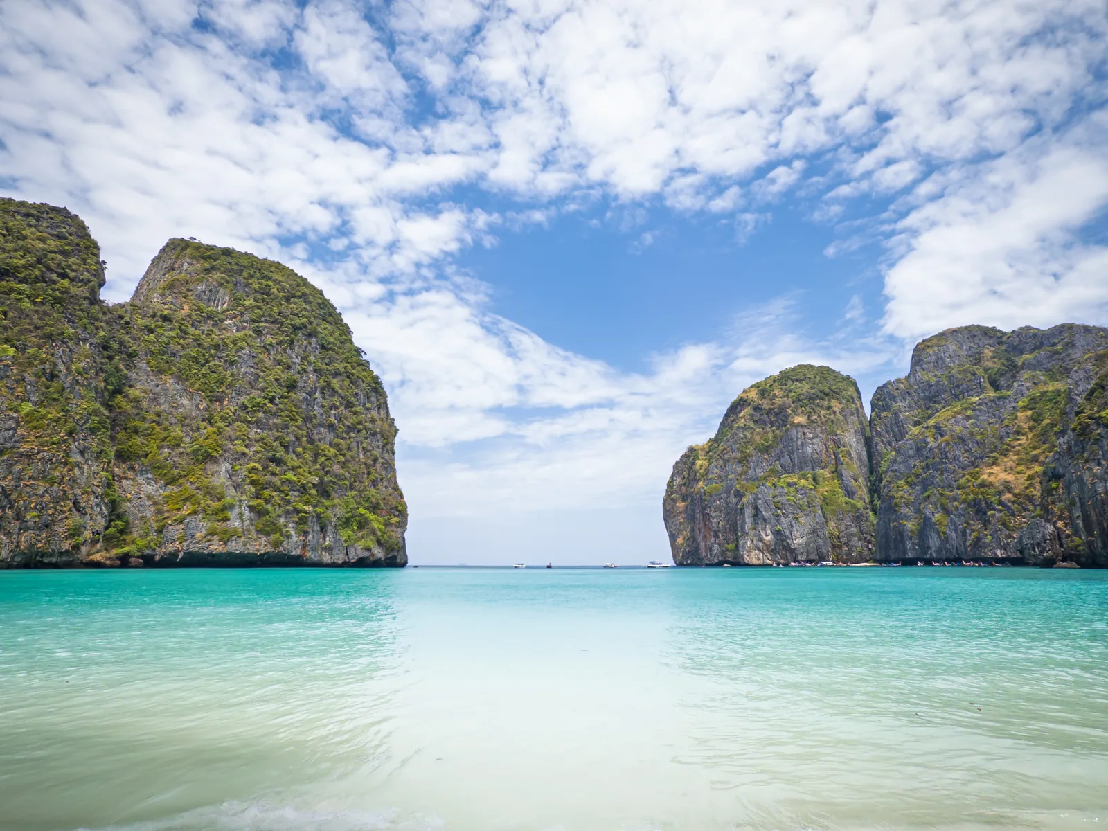
Maya Bay The beach from the film "The Beach". Access only on foot via the jetty at the back; swimming banned, closed for two months every year.
The beach from "The Beach": now with a jetty, rounds and a swimming ban.
Island Ko Phi Phi Le
Access jetty in Loh Samah Bay
Rounds 1 hour, 375 people each
Swimming banned
Closure 2026 1 August to 30 September Own page
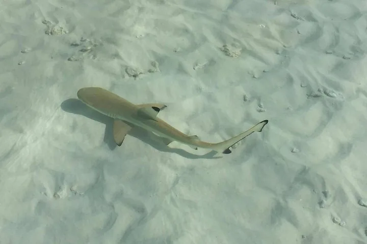
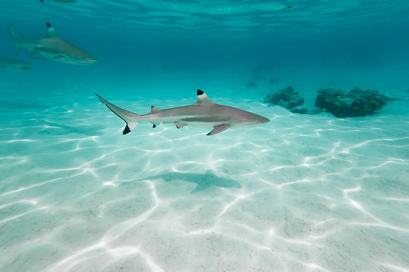
Maya Bay Closed for three and a half years, now with a jetty, rounds and a swimming ban, and with up to 278 reef sharks off the beach.
Park entry fee Hat Noppharat Thara–Mu Ko Phi Phi, as of 4 Oct 2026 Foreign adults 400 baht Children under 3 free
Rules & closure
Guided from here · Ad
Partner links: we may earn a commission if you book – at no extra cost to you. Thank you for supporting the atlas. Dates and prices with the provider.
Add to your Phi Phi visit Open in OpenStreetMap ↗ Location source ↗
7.67695, 98.76581
All places
Loh Samah Bay Boats moor here. A jetty and a path lead across the narrow neck of land to Maya Bay.
Own page
Maya Bay Closed for three and a half years, now with a jetty, rounds and a swimming ban, and with up to 278 reef sharks off the beach.
Rules & closure
Add to your Phi Phi visit Open in OpenStreetMap ↗ Location source ↗
7.67414, 98.76733
All places Photo: Christophe95 ↗ · CC BY-SA 4.0 ↗
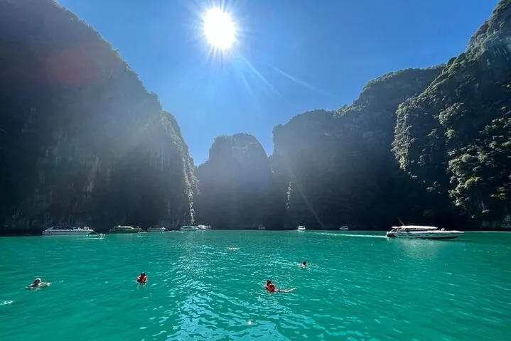
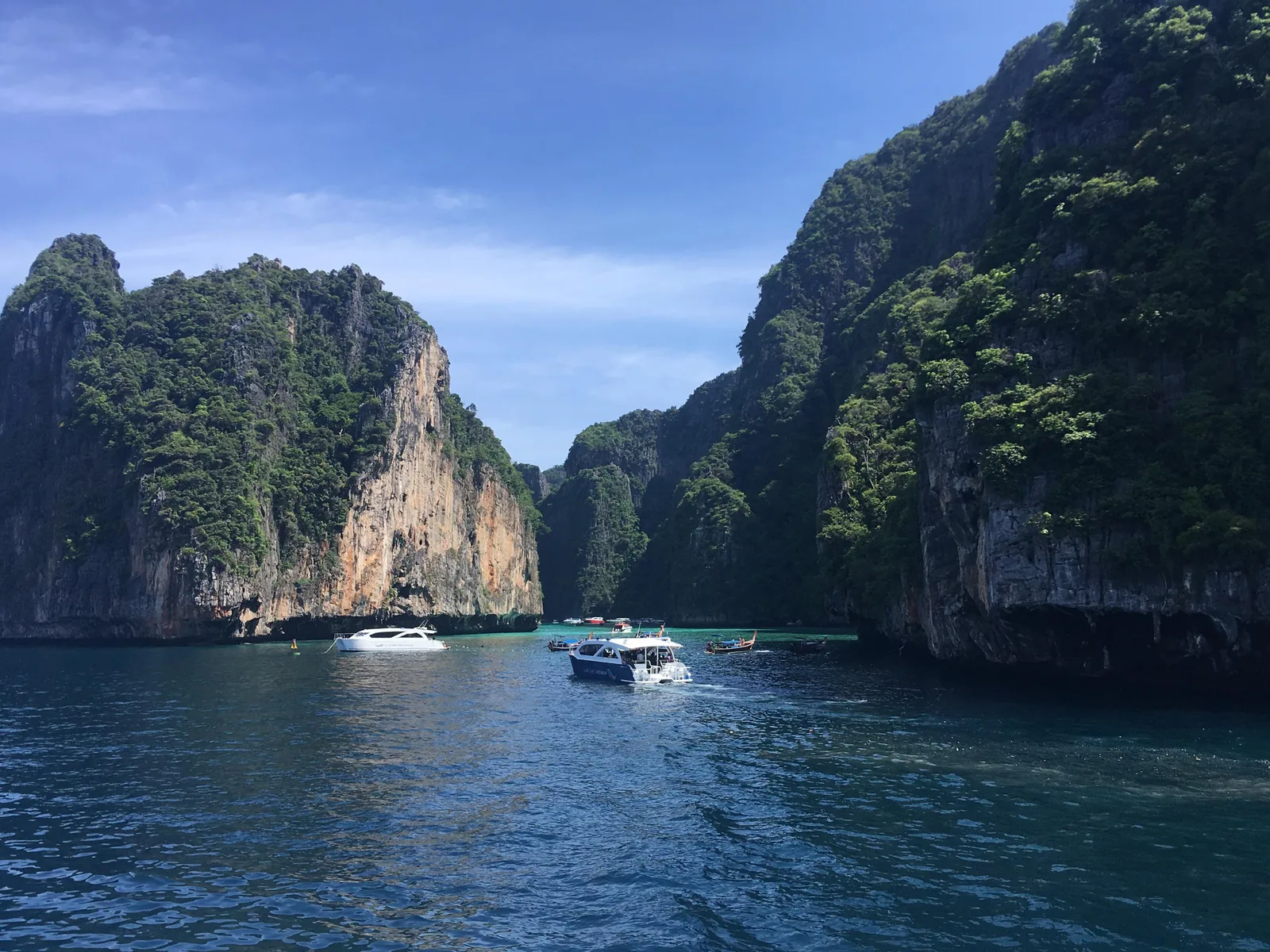
Pileh Lagoon Emerald water between sheer cliffs on Ko Phi Phi Le; a stop on almost every boat tour.
Emerald water in a bowl of limestone.
Island Ko Phi Phi Le
Access by boat only
Neighbour Viking Cave Own page
Maya Bay Closed for three and a half years, now with a jetty, rounds and a swimming ban, and with up to 278 reef sharks off the beach.
Rules & closure
Add to your Phi Phi visit Open in OpenStreetMap ↗ Location source ↗
7.68355, 98.76755
All places
Viking Cave A cave in the cliffs of Ko Phi Phi Le where edible bird's nests come from. Boats pass by.
Own page
Maya Bay Closed for three and a half years, now with a jetty, rounds and a swimming ban, and with up to 278 reef sharks off the beach.
Rules & closure
Add to your Phi Phi visit Open in OpenStreetMap ↗ Location source ↗
7.69144, 98.76698
All places Photo: Krzysztof Golik ↗ · CC BY-SA 4.0 ↗
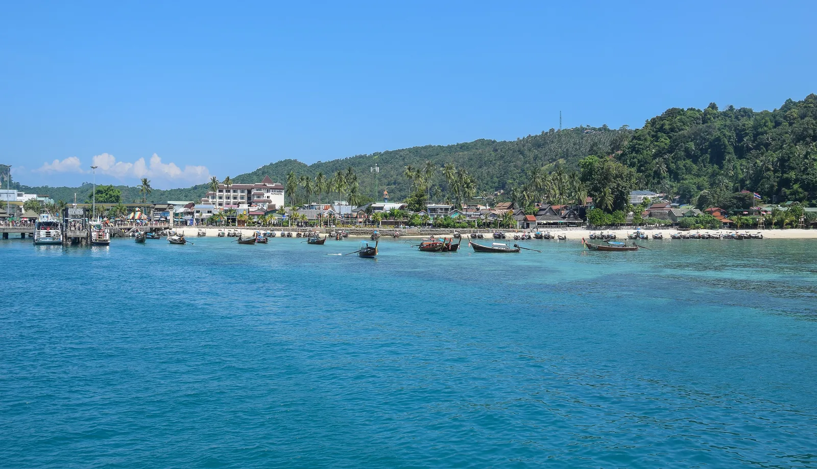
Ton Sai Pier Landing for ferries from Phuket and Krabi in the main village of the inhabited island.
The inhabited island where the ferries arrive.
Ferries from Rassada Pier (Phuket), Klong Jilad (Krabi)
Landing Ton Sai Pier
Beach with macaques Monkey Beach Add to your Phi Phi visit Open in OpenStreetMap ↗ Location source ↗
7.73737, 98.77045
All places
Monkey Beach Small beach on the west coast of Ko Phi Phi Don where macaques live.
Add to your Phi Phi visit Open in OpenStreetMap ↗ Location source ↗
7.74373, 98.76243
All places Photo: Deror Avi ↗ · CC BY-SA 3.0 ↗
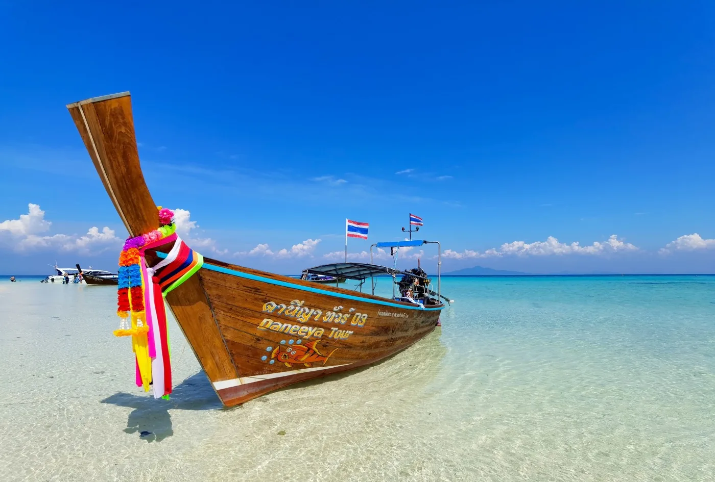
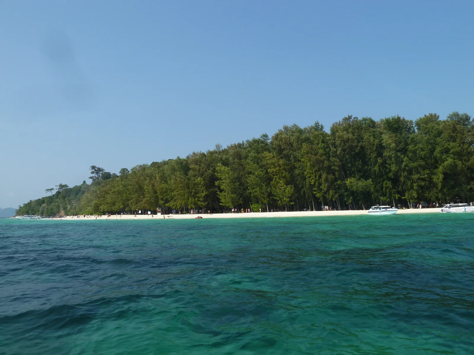
Ko Mai Phai (Bamboo Island) Flat island with a white beach north of Ko Phi Phi Don; a stop on many day tours.
Flat, white sand, in the north of the archipelago.
Location north of Ko Phi Phi Don
Neighbour Ko Yung
In the park yes, by the park boundary Add to your Phi Phi visit Open in OpenStreetMap ↗ Location source ↗
7.81631, 98.79535
All places
Ko Bida Nok Southernmost island of the archipelago, with coral reefs in shallow and deep water.
Phi Phi tours: Maya Bay, Pileh Lagoon and reefs
Snorkelling and diving at Ko Bida The islands of Ko Bida Nai and Ko Bida Nok in the south have coral reefs in shallow and deep water, with clownfish and reef fish. The park authority calls Ko Bida Nok one of the most popular dive sites in the Andaman Sea.
DNP, 4 Aug 2026: coral reefs at Ko Bida Nai and Ko Bida Nok (Thai) ↗
Add to your Phi Phi visit Open in OpenStreetMap ↗ Location source ↗
7.65498, 98.76627
All places
Ko Poda One of the "four islands" off Krabi, which also belong to the park.
Add to your Phi Phi visit Open in OpenStreetMap ↗ Location source ↗
7.97142, 98.80870
All places
Thale Waek At low tide a sandbar links Ko Thap with the neighbouring islands.
Add to your Phi Phi visit Open in OpenStreetMap ↗ Location source ↗
7.96077, 98.81123
All places Photo: Stefan Fussan ↗ · CC BY-SA 4.0 ↗
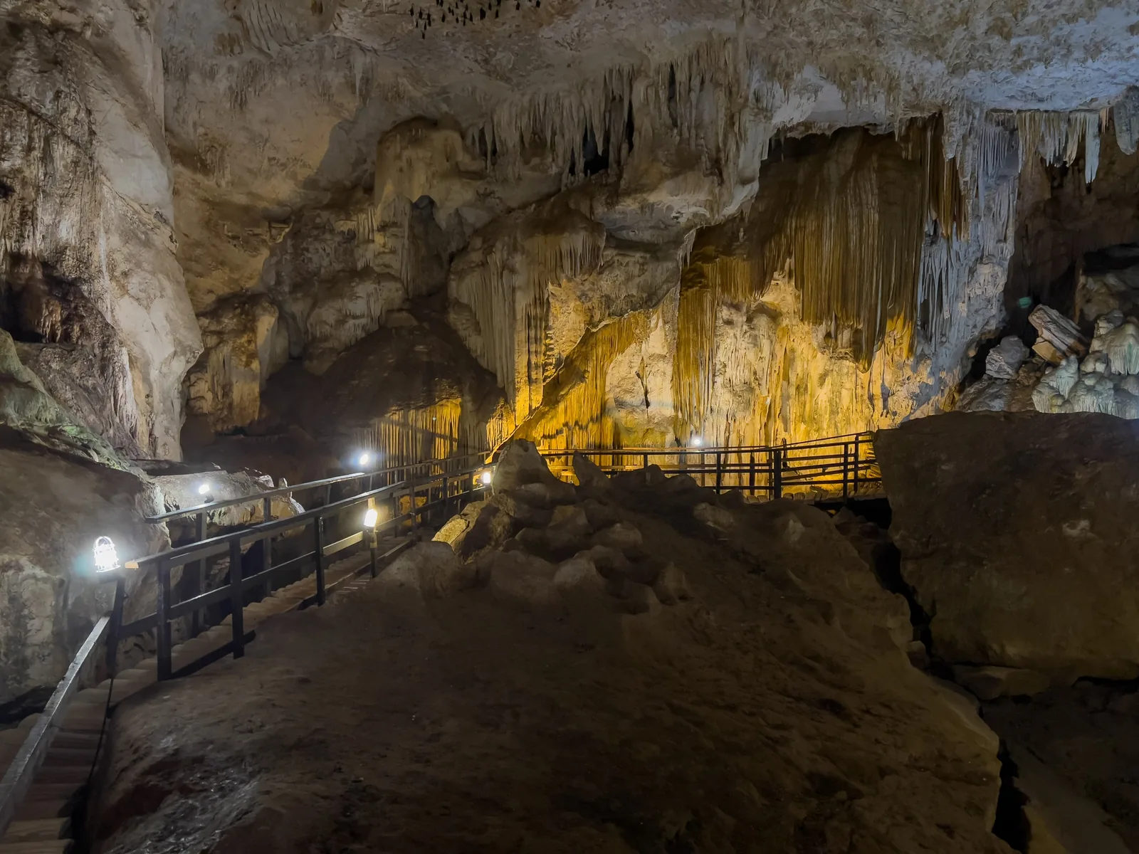
Phra Nang Beach Beach with the cave of Phra Nang at the southern tip of the Railay peninsula, in the mainland part of the park.
The mainland part of the park: limestone walls, caves, climbing routes.
Location peninsula south of Ao Nang
Access by boat only
Caves Phra Nang Nai, Phra Nang Nok Add to your Phi Phi visit Open in OpenStreetMap ↗ Location source ↗
8.00598, 98.83836
All places
Headquarters at Hat Noppharat Thara Park office at Hat Noppharat Thara beach west of Ao Nang, next to the pier.
Add to your Phi Phi visit Open in OpenStreetMap ↗ Location source ↗
8.04719, 98.79900
All places
Noppharat Thara Pier Speedboats leave from here for the Phi Phi Islands and the islands off Krabi.
Guided from here · Ad
Partner links: we may earn a commission if you book – at no extra cost to you. Thank you for supporting the atlas. Dates and prices with the provider.
Add to your Phi Phi visit Open in OpenStreetMap ↗ Location source ↗
8.04758, 98.79849
All places
Rassada Pier (Phuket) Port near Phuket Town where ferries leave for Ko Phi Phi Don.
Add to your Phi Phi visit Open in OpenStreetMap ↗ Location source ↗
7.87262, 98.41453
All places
Klong Jilad Pier (Krabi) Ferry port of Krabi Town with connections to Ko Phi Phi Don.
Add to your Phi Phi visit Open in OpenStreetMap ↗ Location source ↗
8.04585, 98.90586
All places
Loh Samah beach Small beach on the east side of the neck of land.
Own page
Maya Bay Closed for three and a half years, now with a jetty, rounds and a swimming ban, and with up to 278 reef sharks off the beach.
Rules & closure
Add to your Phi Phi visit Open in OpenStreetMap ↗ Location source ↗
7.67583, 98.76834
All places
Ao Het Small bay north-east of Loh Samah Bay.
Own page
Maya Bay Closed for three and a half years, now with a jetty, rounds and a swimming ban, and with up to 278 reef sharks off the beach.
Rules & closure
Add to your Phi Phi visit Open in OpenStreetMap ↗ Location source ↗
7.67713, 98.77048