National Parks Atlas
To the park
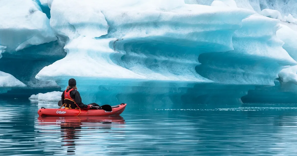
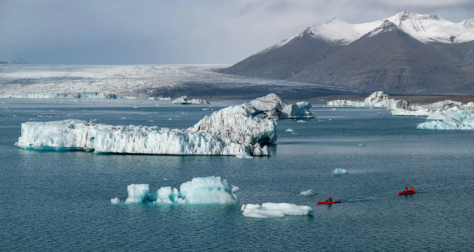
Kayaks among icebergs on Jökulsárlón in Vatnajökull National Park, the glacier snout and snow-covered mountains behind

Vatnajökull National Park: map

22 places with verified coordinates · 7 with photo

Bookable in the park · 7

Ad · partner links: we may earn a commission if you book – at no extra cost to you. Thank you for supporting the atlas. Offer details checked 4 Oct 2026; dates and prices with the provider.

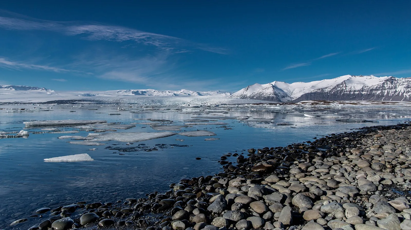
Jökulsárlón glacier lagoon with drifting icebergs in front of Breiðamerkurjökull, a pebble shore in the foreground, snow-covered mountains behind
Photo: john.purvis ↗ · CC BY 2.0 ↗

Nature · Regional fee, closed 2–7 October 2026

Jökulsárlón, main car park

Boat tours and ice cave tours start here. Closed from 2 to 7 October 2026 for construction work; use Eystri- and Vestri-Fellsfjara instead.

Own page

Jökulsárlón

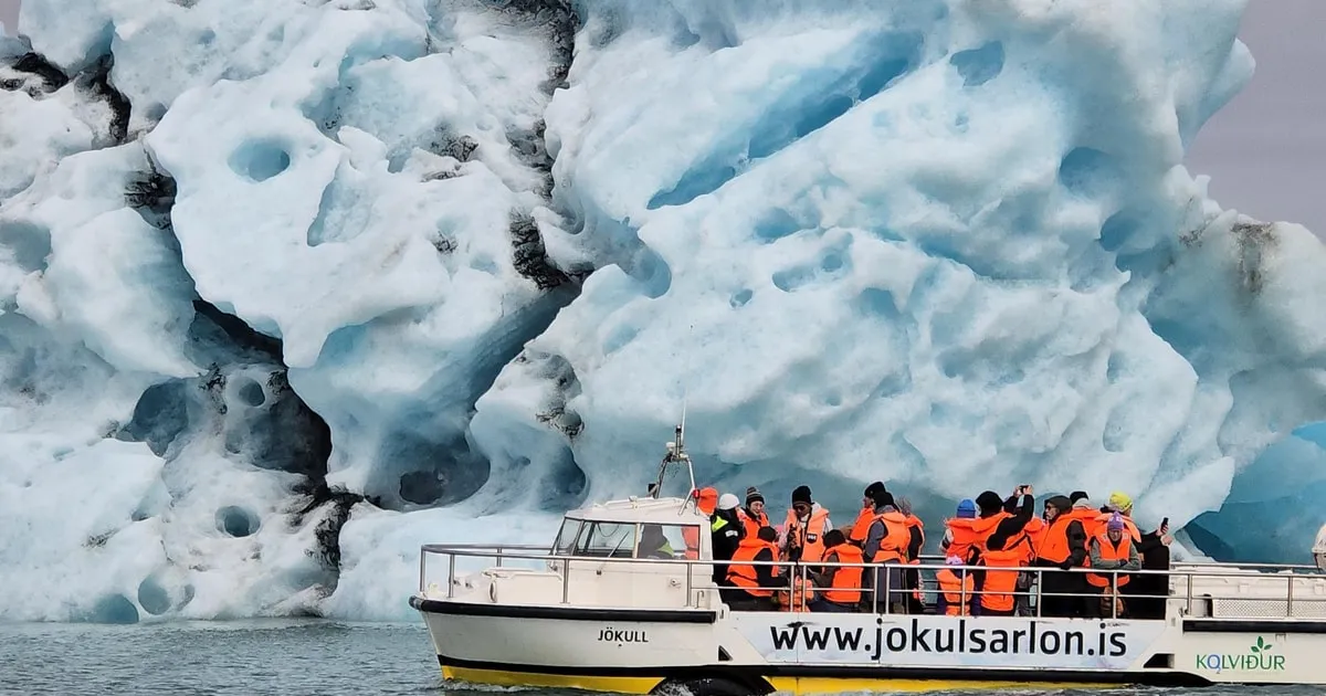
Icebergs from Breiðamerkurjökull, a lagoon that did not exist before the 1930s – and ice on the black beach.

Regional fee at Jökulsárlón and Skaftafell, as of 4 Oct 2026
Car up to 5 seatsISK 1,110
Car 6 to 9 seatsISK 1,440
Bus 10 to 21 seatsISK 2,770

Parking & boat tours

Tickets & entrance fees: the regional fee at Skaftafell and Jökulsárlón

ISK 1,110 for a car

Cars with up to five seats ISK 1,110, six to nine seats ISK 1,440, motorcycles ISK 450. Buses pay ISK 2,770 to 9,400.

Vatnajökull National Park: Pricelist – regional fee at Skaftafell and Jökulsárlón, camping, huts ↗

Guided from here · Ad

Partner links: we may earn a commission if you book – at no extra cost to you. Thank you for supporting the atlas. Dates and prices with the provider.

Open in OpenStreetMap ↗Location source ↗

64.04801, -16.17969

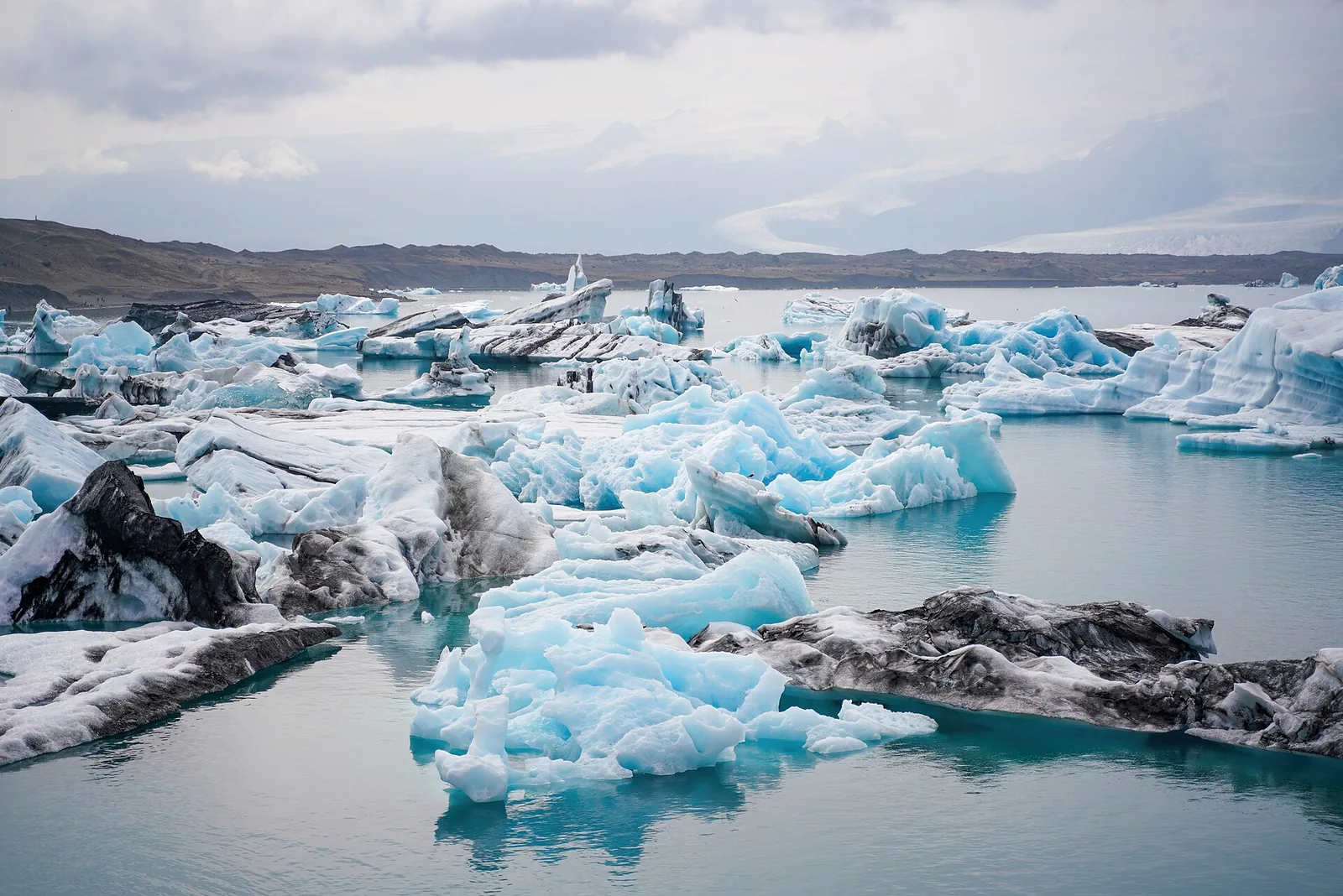
Icebergs with blue and white faces float on Jökulsárlón in Vatnajökull National Park
Photo: Giles Laurent ↗ · CC BY-SA 4.0 ↗

Water · Glacier lagoon

Jökulsárlón

Part of the park since 2017. It formed from the 1930s in front of Breiðamerkurjökull; according to the boat operator it is up to 284 m (932 ft) deep.

The glacier lagoon on Breiðamerkursandur – part of the park since 2017.

In the park since
2017
Lagoon formed
from the 1930s
Depth according to the operator
up to 284 m (932 ft)
Visitors in 2023
about 968,000
Regional fee, car
ISK 1,110
Trail B1
1.2 km (0.7 mi), about 20 min

Own page

Jökulsárlón

Icebergs from Breiðamerkurjökull, a lagoon that did not exist before the 1930s – and ice on the black beach.

Parking & boat tours

Vatnajökull National Park: Iceland's largest park

Jökulsárlón in the park since 2017

Breiðamerkursandur with Jökulsárlón, Fellsfjara and Fjallsárlón joined the national park in 2017. In 2023 the park counted about 968,000 visitors there, 14.6 per cent more than the year before.

Vatnajökull National Park: Breiðamerkursandur – part of the park since 2017, trails B1–B4 ↗

How to get there: Ring Road 1 to Skaftafell and Jökulsárlón

Jökulsárlón: 370 km from Reykjavík

According to the boat operator, the lagoon lies about 370 km (230 mi) east of Reykjavík, directly on the Ring Road. The lagoon and Fellsfjara are on either side of the road.

Jökulsárlón ehf. (boat operator on the lagoon): FAQ – season, duration, children ↗

Best time to visit: boat tours in summer, ice caves in winter

Boat tours May to October

According to the operator, boats on Jökulsárlón usually run from early May to October, depending on weather and ice. It offers amphibian boats until November and the Zodiac until October.

Jökulsárlón ehf. (boat operator on the lagoon): FAQ – season, duration, children ↗

Hikes & tours: glacier hikes, ice caves, the lagoon and Svartifoss

The lagoon on foot: trail B1

From the main car park up the moraine hill Helguhóll and back along the lagoon: 1.2 km (0.7 mi), about 20 minutes, with a view of Breiðamerkurjökull.

Vatnajökull National Park: trail B1 Jökulsárlón ↗

Hikes & tours: glacier hikes, ice caves, the lagoon and Svartifoss

Boat trip among icebergs

Amphibian boats run for 30 to 40 minutes and take all ages; the Zodiac takes about 1:15 hours and gets closer to the glacier, children from 130 cm (4 ft 3 in).

Jökulsárlón ehf. (boat operator on the lagoon): FAQ – season, duration, children ↗

Where to stay: Skaftafell, Ásbyrgi and highland huts

No overnight stays at Jökulsárlón

Overnight stays are not permitted on Breiðamerkursandur. The boat operator also points to campsites in the area.

Vatnajökull National Park: Breiðamerkursandur – part of the park since 2017, trails B1–B4 ↗

Nature: glaciers, volcanoes and glacial floods

A lagoon since the 1930s

Jökulsárlón formed as Breiðamerkurjökull retreated. In the 18th and 19th centuries only about 250 metres (820 ft) separated the glacier from the sea at the narrowest point.

Vatnajökull National Park: Breiðamerkursandur – part of the park since 2017, trails B1–B4 ↗

Open in OpenStreetMap ↗Location source ↗

64.07843, -16.22439

Water · Beach with chunks of ice

Eystri-Fellsfjara (“Diamond Beach”)

East of the bridge. Ice from the lagoon washes up on the black sand. Car park and photo exhibition, trail B2 under the bridge to the lagoon.

Own page

Jökulsárlón

Icebergs from Breiðamerkurjökull, a lagoon that did not exist before the 1930s – and ice on the black beach.

Parking & boat tours

Best time to visit: boat tours in summer, ice caves in winter

Nesting season at Jökulsárlón

From 15 April to 15 July drones are banned at Jökulsárlón and Fellsfjara because great skuas, barnacle geese and red-throated divers nest there.

Vatnajökull National Park: rules for recreational drones ↗

Hikes & tours: glacier hikes, ice caves, the lagoon and Svartifoss

Diamond Beach

At Fellsfjara chunks of ice from the lagoon wash up on the black sand. Do not cross the bridge on foot; the path leads underneath it.

Vatnajökull National Park: Fellsfjara (“Diamond Beach”) ↗

Nature: glaciers, volcanoes and glacial floods

Seals and skuas

Large seal colonies live where the rivers meet the sea. Breiðamerkursandur is a nesting ground for great skua, red-throated diver, greylag goose and barnacle goose.

Vatnajökull National Park: Jökulsárlón and its surroundings ↗

Open in OpenStreetMap ↗Location source ↗

64.05393, -16.15104

Water · Beach west of the bridge

Vestri-Fellsfjara

Alternative car park during the closure in October 2026, with temporary toilets.

Own page

Jökulsárlón

Icebergs from Breiðamerkurjökull, a lagoon that did not exist before the 1930s – and ice on the black beach.

Parking & boat tours

How to get there: Ring Road 1 to Skaftafell and Jökulsárlón

Car park closed until 7 October

The main car park at Jökulsárlón is closed from 2 to 7 October 2026 for construction work. The Eystri- and Vestri-Fellsfjara car parks stay open; boat tour guests should arrive earlier.

Vatnajökull National Park, 1 Oct 2026: main car park at Jökulsárlón closed 2–7 October ↗

Open in OpenStreetMap ↗Location source ↗

64.02627, -16.23187

Water · Glacier lake

Breiðárlón

One of the three large lakes on Breiðamerkursandur, fed by a calving glacier tongue.

Own page

Jökulsárlón

Icebergs from Breiðamerkurjökull, a lagoon that did not exist before the 1930s – and ice on the black beach.

Parking & boat tours

Open in OpenStreetMap ↗Location source ↗

64.05382, -16.37638

Water · Glacier lake on the park edge

Fjallsárlón

The park lists Fjallsárlón as a destination on Breiðamerkursandur; in OpenStreetMap the park boundary runs right along the lagoon.

Own page

Jökulsárlón

Icebergs from Breiðamerkurjökull, a lagoon that did not exist before the 1930s – and ice on the black beach.

Parking & boat tours

Open in OpenStreetMap ↗Location source ↗

64.02292, -16.39213

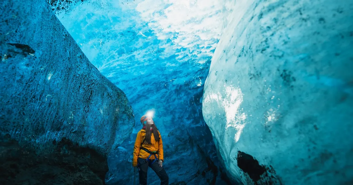
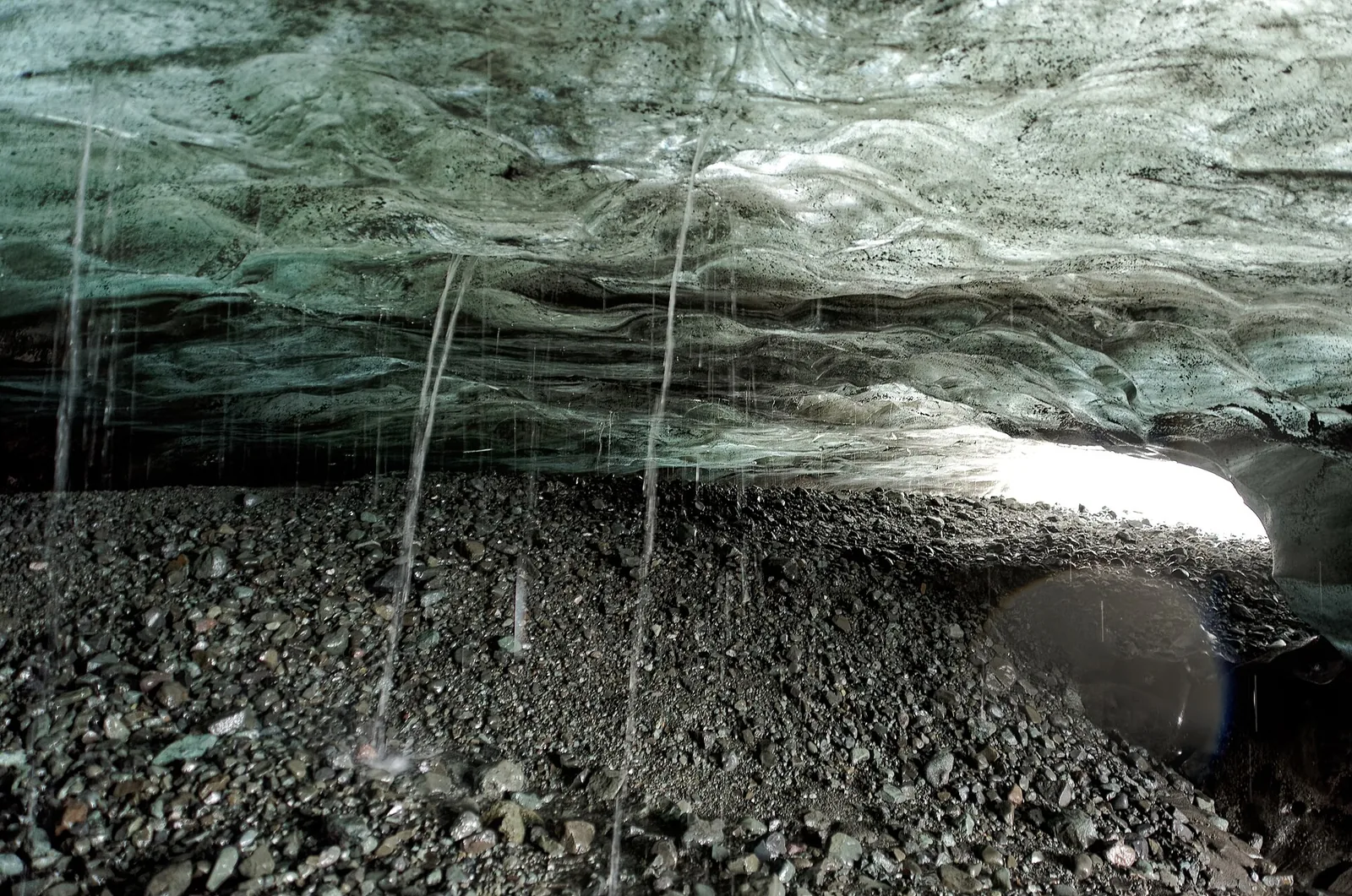
Blue ice vault of an ice cave at Breiðamerkurjökull in Vatnajökull National Park, scree and meltwater on the floor
Photo: Jakub Hałun ↗ · CC BY 4.0 ↗

Mountains & rock · Outlet glacier, ice caves

Breiðamerkurjökull

Calves into Jökulsárlón. In winter the ice caves form here, visited only with contracted operators.

Only in winter and only with operators that have a contract with the park.

Contract period 2022/23
1 October – 30 April
New contracts in 2024
from 1 November
Guides
AIMG training, first aid
Quality criteria
Vakinn 203 and 228
Daily limit Breiðamerkurjökull 2020/21
650 guests each east and west

Own page

Jökulsárlón

Icebergs from Breiðamerkurjökull, a lagoon that did not exist before the 1930s – and ice on the black beach.

Parking & boat tours

Rules: glaciers only with a guide, ice caves only with a contracted operator

Ice caves only with contracted operators

By law, anyone offering ice cave or glacier tours needs a contract with the park. The model contract requires guides with AIMG training and a first-aid course, and the Vakinn criteria 203 and 228 for group size, safety and training.

Vatnajökulsþjóðgarður: model contract for ice cave tours and glacier hikes 2022–2023 (PDF, Icelandic) ↗

Open in OpenStreetMap ↗Location source ↗

64.17859, -16.43629

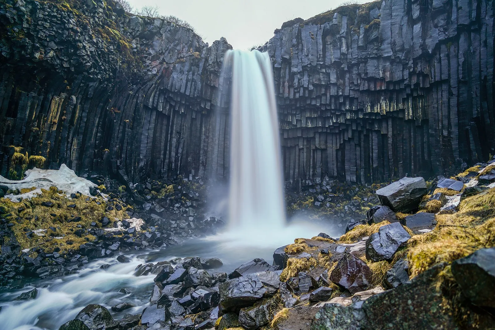
Svartifoss in Skaftafell falls as a white veil over dark basalt columns, mossy stones in the stream in the foreground
Photo: Giles Laurent ↗ · CC BY-SA 4.0 ↗

Arrival · Visitor centre, open all year

Skaftafellsstofa visitor centre

Start of almost all trails in Skaftafell. June to August 9:00–19:00, in winter 10:00–17:00.

Own page

Skaftafell

Basalt columns at Svartifoss, a glacier snout ten minutes from the campsite and trails up to the Kristínartindar peaks.

Fees in Skaftafell, as of 4 Oct 2026
Regional fee, car up to 5 seats, per dayISK 1,110
Regional fee, car 6 to 9 seatsISK 1,440
Regional fee, motorcycleISK 450

Trails & fee

Vatnajökull National Park: Iceland's largest park

Skaftafell protected since 1967

Parts of Skaftafell became a national park in 1967, Jökulsárgljúfur in 1973. Both have been part of Vatnajökull National Park since 2008.

Vatnajökull National Park: Skaftafell – access, trails, camping ↗

How to get there: Ring Road 1 to Skaftafell and Jökulsárlón

Skaftafell on the Ring Road

Skaftafell lies on Ring Road 1, 70 km (43 mi) east of Kirkjubæjarklaustur and 130 km (81 mi) west of Höfn. The area is accessible all year when weather and roads allow.

Vatnajökull National Park: Skaftafell – access, trails, camping ↗

Best time to visit: boat tours in summer, ice caves in winter

Skaftafellsstofa all year

January and February 10:00–17:00, March to May 9:00–17:00, June to August 9:00–19:00, September and October 9:00–18:00, November 9:00–17:00, December 10:00–17:00.

Vatnajökull National Park: Skaftafellsstofa visitor centre – opening hours ↗

Where to stay: Skaftafell, Ásbyrgi and highland huts

Skaftafell campsite

Open all year, at the foot of the slope since 1974. Pitches cannot be reserved; shower, washing machine and dryer are included.

Vatnajökull National Park: Skaftafellsstofa visitor centre – opening hours ↗

Guided from here · Ad

Partner links: we may earn a commission if you book – at no extra cost to you. Thank you for supporting the atlas. Dates and prices with the provider.

Open in OpenStreetMap ↗Location source ↗

64.01667, -16.96633

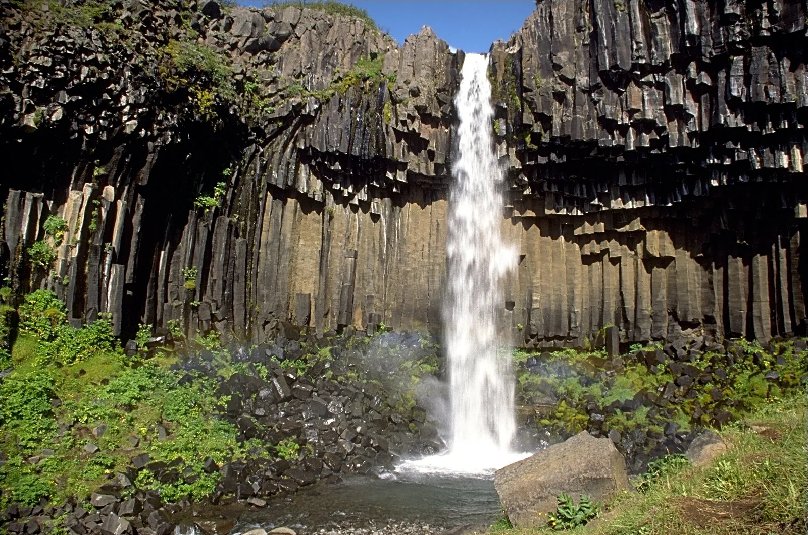
Svartifoss in Vatnajökull National Park falls over dark basalt columns, green slopes and scree in front
Photo: Andreas Tille ↗ · CC BY-SA 4.0 ↗

Water · Waterfall between basalt columns

Svartifoss

The columns formed about 300,000 years ago. Trail S2 from Skaftafellsstofa, 140 m (459 ft) of ascent over 1.5 km (0.9 mi) to the viewpoint.

The hiking area on the southern edge – with the waterfall between basalt columns.

National park since
1967
Trail S2 to Svartifoss
5.8 km (3.6 mi), 2 h
Ascent S2
250 m (820 ft)
Glacier trail S1
4.1 km (2.5 mi), 1–1.5 h
Kirkjubæjarklaustur
70 km (43 mi)
Höfn
130 km (81 mi)

Own page

Skaftafell

Basalt columns at Svartifoss, a glacier snout ten minutes from the campsite and trails up to the Kristínartindar peaks.

Trails & fee

Hikes & tours: glacier hikes, ice caves, the lagoon and Svartifoss

To Svartifoss: 2 hours

Loop trail S2 from Skaftafellsstofa is 5.8 km (3.6 mi) long with 250 m (820 ft) of ascent, past Hundafoss and Magnúsarfoss. To the viewpoint above Svartifoss it is 1.5 km (0.9 mi) and 140 m (459 ft) of ascent.

Vatnajökull National Park: trail S2 Svartifoss – Sjónarsker – Sel ↗

Nature: glaciers, volcanoes and glacial floods

Basalt columns at Svartifoss

The columns around Svartifoss formed about 300,000 years ago, when lava filled an old riverbed and cooled slowly.

Vatnajökull National Park: Svartifoss ↗

Open in OpenStreetMap ↗Location source ↗

64.02772, -16.97529

Water · Waterfall on trail S2

Hundafoss

On the way up to Svartifoss.

Own page

Skaftafell

Basalt columns at Svartifoss, a glacier snout ten minutes from the campsite and trails up to the Kristínartindar peaks.

Trails & fee

Open in OpenStreetMap ↗Location source ↗

64.02015, -16.98044

Water · Waterfall on trail S2

Magnúsarfoss

On the way to Svartifoss; an old small power station stands next to it.

Own page

Skaftafell

Basalt columns at Svartifoss, a glacier snout ten minutes from the campsite and trails up to the Kristínartindar peaks.

Trails & fee

Open in OpenStreetMap ↗Location source ↗

64.02114, -16.97994

Viewpoint · Viewpoint

Sjónarsker

On loop trail S2 above Svartifoss, with an all-round view in clear weather.

Own page

Skaftafell

Basalt columns at Svartifoss, a glacier snout ten minutes from the campsite and trails up to the Kristínartindar peaks.

Trails & fee

Open in OpenStreetMap ↗Location source ↗

64.02779, -16.98238

Nature · Turf farmhouse

Sel

The old turf house on the way back on loop trail S2.

Own page

Skaftafell

Basalt columns at Svartifoss, a glacier snout ten minutes from the campsite and trails up to the Kristínartindar peaks.

Trails & fee

Open in OpenStreetMap ↗Location source ↗

64.02327, -16.99074

Viewpoint · View of Skaftafellsjökull

Sjónarnípa

Goal of trails S5 and S6, with views of Skaftafellsjökull, Öræfajökull and the Kristínartindar peaks.

Own page

Skaftafell

Basalt columns at Svartifoss, a glacier snout ten minutes from the campsite and trails up to the Kristínartindar peaks.

Trails & fee

Open in OpenStreetMap ↗Location source ↗

64.03044, -16.93679

Mountains & rock · Peaks, difficult trail S4

Kristínartindar

18 km (11 mi), 6–8 hours, for experienced hikers only.

Own page

Skaftafell

Basalt columns at Svartifoss, a glacier snout ten minutes from the campsite and trails up to the Kristínartindar peaks.

Trails & fee

Open in OpenStreetMap ↗Location source ↗

64.06926, -16.92611

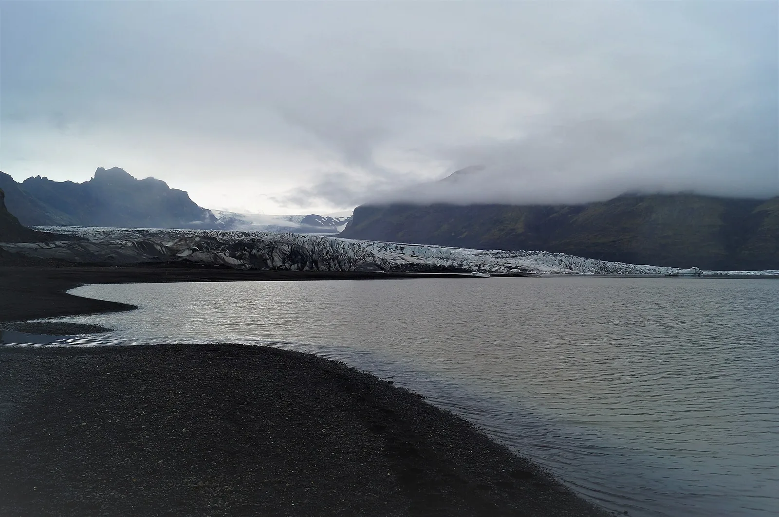
The snout of Skaftafellsjökull in Vatnajökull National Park behind a meltwater lake, dark sand in the foreground
Photo: Alexander Grebenkov ↗ · CC BY 3.0 ↗

Mountains & rock · Outlet glacier, trail S1

Skaftafellsjökull

The glacier trail S1 runs 4.1 km (2.5 mi) as a loop from the visitor centre to the glacier snout.

Two glacier tongues – one to look at, one to walk on with a guide.

Glacier trail S1
4.1 km (2.5 mi), 80 m (262 ft) ascent
Falljökull
creeping glacier from Öræfajökull
Öræfajökull caldera rim
about 1,800 m (5,906 ft)
Daily limit Falljökull/Virkisjökull 2020/21
1,000 guests

Own page

Skaftafell

Basalt columns at Svartifoss, a glacier snout ten minutes from the campsite and trails up to the Kristínartindar peaks.

Trails & fee

Rules: glaciers only with a guide, ice caves only with a contracted operator

Drones: almost everywhere off limits in Skaftafell

Recreational drones are banned in Skaftafell except in front of Skaftafellsjökull at off-peak times – from May to mid-September before 9:00 or after 18:00. At Jökulsárlón time windows apply, never over crowds.

Vatnajökull National Park: rules for recreational drones ↗

Hikes & tours: glacier hikes, ice caves, the lagoon and Svartifoss

Glacier trail S1

4.1 km (2.5 mi) loop, 1 to 1.5 hours, 80 m (262 ft) of ascent: from the visitor centre to the front of Skaftafellsjökull, half of it paved.

Vatnajökull National Park: trail S1 glacier trail ↗

Nature: glaciers, volcanoes and glacial floods

Glaciers visibly shrinking

Vatnajökull reached its greatest extent at the end of the 18th century and has been retreating since – recently ever faster.

UNESCO World Heritage Centre: Vatnajökull National Park – Dynamic Nature of Fire and Ice (entry 1604) ↗

Open in OpenStreetMap ↗Location source ↗

64.06235, -16.84860

Mountains & rock · Glacier for guided hikes

Falljökull

Creeping glacier from Öræfajökull. Most guided glacier hikes from Skaftafell take place here.

Own page

Skaftafell

Basalt columns at Svartifoss, a glacier snout ten minutes from the campsite and trails up to the Kristínartindar peaks.

Trails & fee

Rules: glaciers only with a guide, ice caves only with a contracted operator

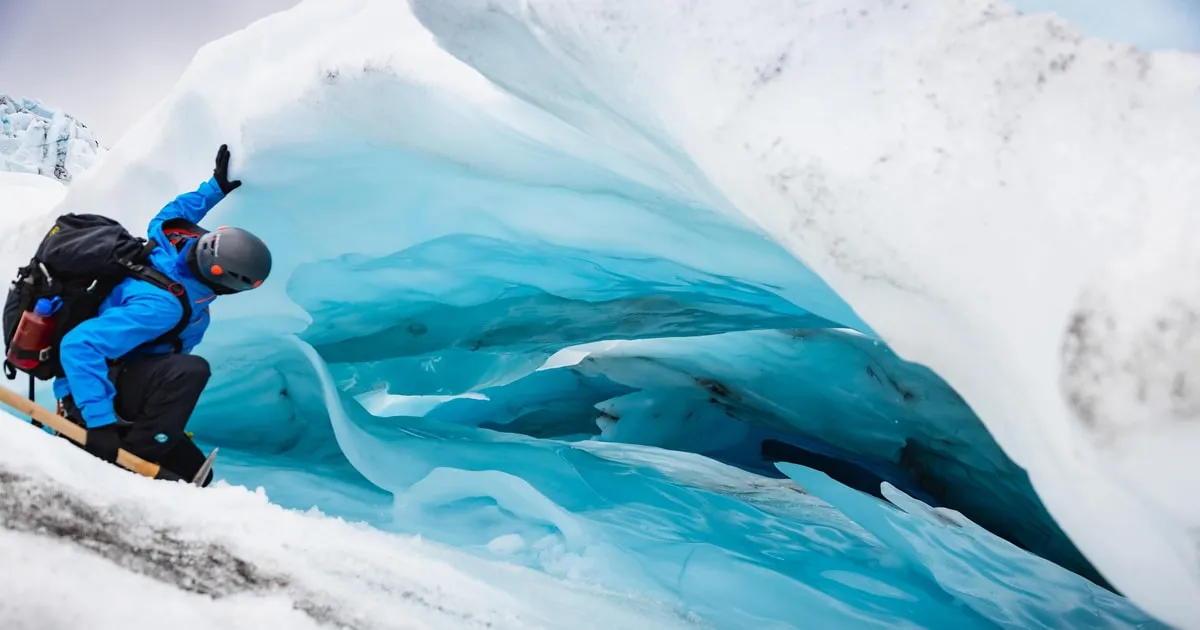
Glaciers with an experienced guide

In front of and on glaciers the park advises caution, suitable safety gear and a guide with glacier experience. Many operators offer glacier hikes on Falljökull.

Vatnajökull National Park: Falljökull ↗

Open in OpenStreetMap ↗Location source ↗

63.98665, -16.74857

Mountains & rock · Outlet glacier

Svínafellsjökull

Between Skaftafell and Falljökull, inside the park according to the OpenStreetMap boundary.

Own page

Skaftafell

Basalt columns at Svartifoss, a glacier snout ten minutes from the campsite and trails up to the Kristínartindar peaks.

Trails & fee

Open in OpenStreetMap ↗Location source ↗

64.02274, -16.76898

Surroundings · Village, outside the park

Hof í Öræfum

About 1.9 km (1.2 mi) outside the park boundary. Some glacier operators meet nearby.

Open in OpenStreetMap ↗Location source ↗

63.90619, -16.70482

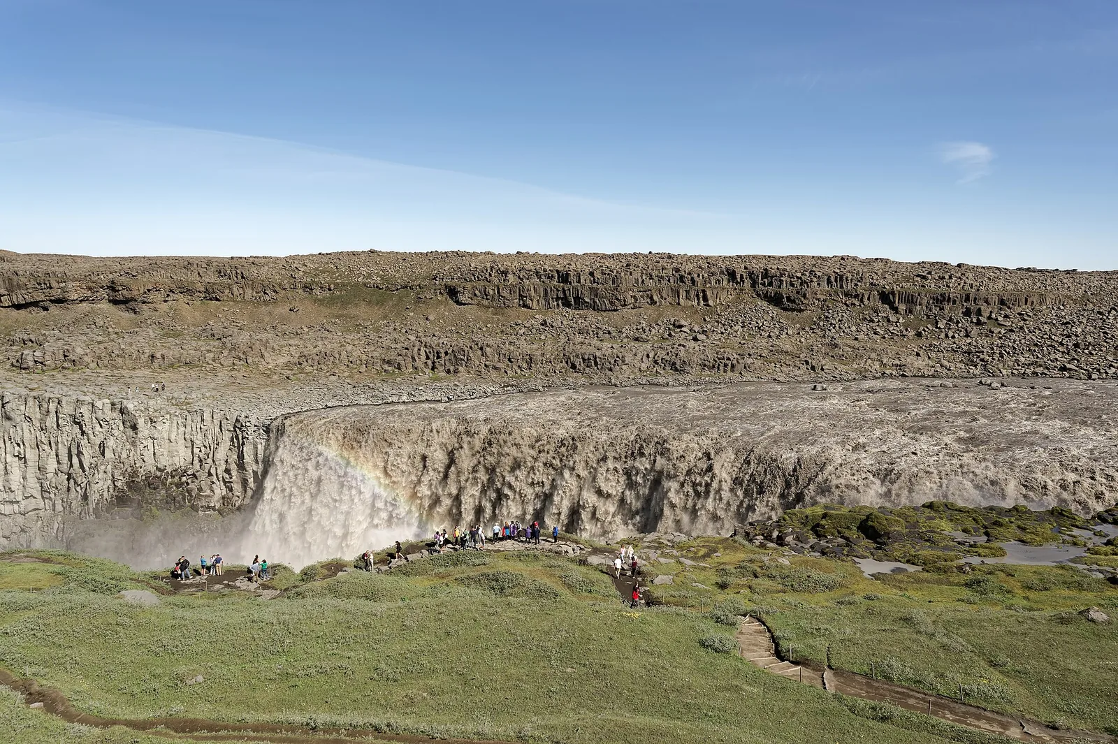
Dettifoss in the north of Vatnajökull National Park: grey masses of water plunge into a wide canyon, spray rising
Photo: Jakub Hałun ↗ · CC BY 4.0 ↗

Water · Waterfall in the north, on the park boundary

Dettifoss

The west side with the viewpoints belongs to the park; Fosshvammur has been permanently closed since May 2026.

The north of the park: canyon, waterfall and highland caldera.

Jökulsárgljúfur protected since
1973
Fosshvammur
closed since 28 May 2026
Access Dettifoss west
Road 862
Askja
caldera in the Dyngjufjöll
Trail A1 Vikraborgir–Öskjuvatn
2.5 km (1.6 mi), 2 h

How to get there: Ring Road 1 to Skaftafell and Jökulsárlón

The north via roads 85, 862 and 1

Jökulsárgljúfur is reached via Road 85 from Kelduhverfi or via the Ring Road at Mývatnsöræfi; Dettifossvegur (862) runs west of the river.

Vatnajökull National Park: Jökulsárgljúfur and Ásbyrgi ↗

Rules: glaciers only with a guide, ice caves only with a contracted operator

Dettifoss: Fosshvammur closed

After a landslide in 2025 and new cracks, the park permanently closed Fosshvammur at Dettifoss on 28 May 2026. The falls can still be seen from other points.

Vatnajökulsþjóðgarður, 28 May 2026: Fosshvammur at Dettifoss permanently closed (Icelandic) ↗

Open in OpenStreetMap ↗Location source ↗

65.81435, -16.38449

Arrival · Visitor centre, open all year

Gljúfrastofa at Ásbyrgi

Visitor centre for Jökulsárgljúfur between Dettifoss and Ásbyrgi.

Open in OpenStreetMap ↗Location source ↗

66.02851, -16.48716

Mountains & rock · Explosion crater in the highlands

Víti at Askja

On the rim of the Askja caldera; a ranger is on site daily in summer, access only via highland roads.

How to get there: Ring Road 1 to Skaftafell and Jökulsárlón

Highlands only on marked roads

In the park you may drive only on roads shown on the park's maps. Highland roads often have unbridged rivers and are impassable for some vehicles.

Vatnajökull National Park: Travel advice – overnight stays, highland roads, safety ↗

Hikes & tours: glacier hikes, ice caves, the lagoon and Svartifoss

Askja in the highlands

In summer rangers are stationed at Drekagil and Herðubreiðarlindir and lead walks at Askja daily in high season. There are no shops or petrol stations there.

Vatnajökull National Park: Askja and Herðubreiðarlindir ↗

Open in OpenStreetMap ↗Location source ↗

65.04674, -16.72591

Locations verified from the linked original sources and OpenStreetMap. The map shows no trails or park boundaries; markers do not imply that access is permitted.

Map: © OpenStreetMap contributors, OpenMapTiles, OpenFreeMap. Elevation: Terrain Tiles (Mapzen, AWS Open Data); 3DEP, GMTED2010 and SRTM courtesy of the U.S. Geological Survey; EU-DEM (Copernicus, European Union); ETOPO1 (NOAA); ArcticDEM (NSF, DigitalGlobe); Geoscience Australia; Open Data Austria (DGM); Open Government Licence – Canada; INEGI; Land Information New Zealand; Kartverket; Environment Agency (UK).

Park photo: Photo: Eric Kilby ↗ · CC BY-SA 2.0 ↗

Loading map …