All places Photo: PantheraLeo1359531 ↗ · CC BY-SA 4.0 ↗
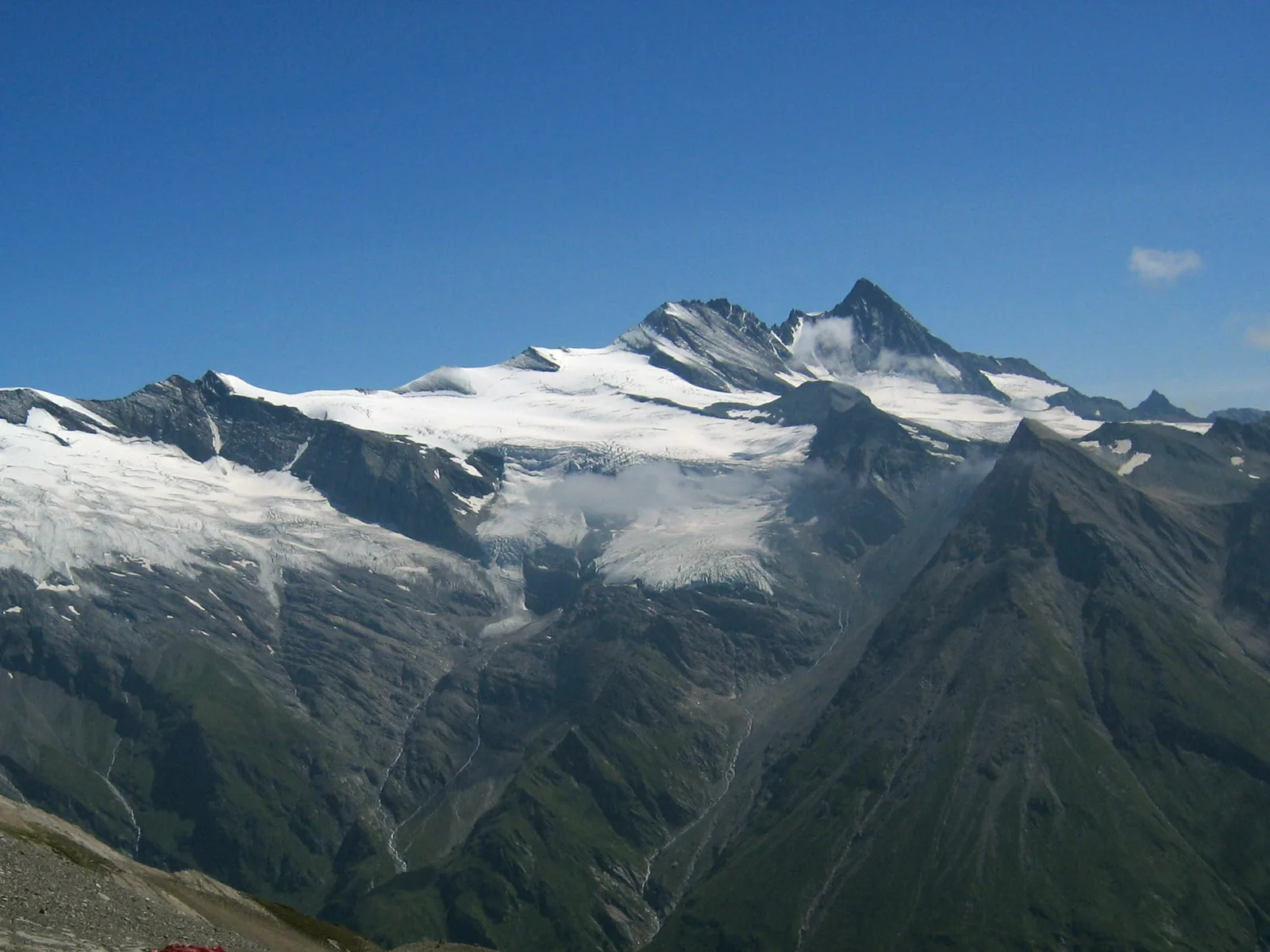
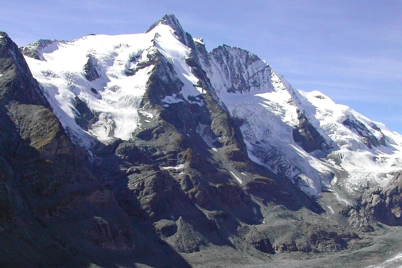
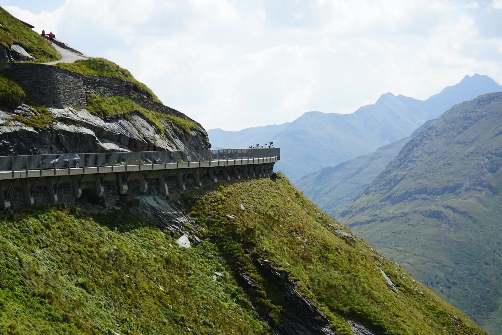
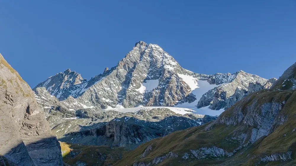
Grossglockner At 3,798 metres (12,461 ft), the highest mountain in Austria.
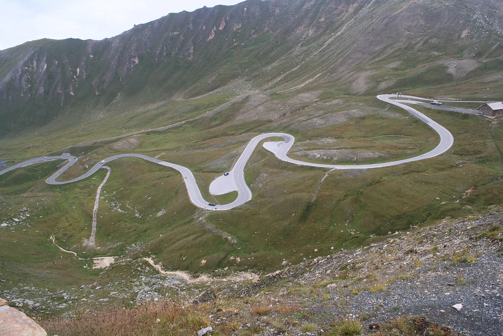
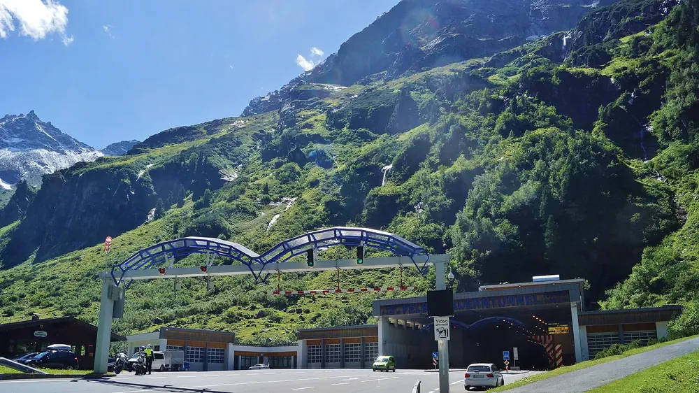
The scenic road across the main Alpine ridge: a toll road, open only in the summer half of the year.
Coordinates 47.084720, 12.842093 (Hochtor)
Length 48 kilometres (30 mi)
Hairpin bends 36
Kaiser-Franz-Josefs-Höhe 2,369 metres (7,772 ft)
Hochtor 2,504 metres (8,215 ft)
Speed limit 70 km/h on all of the operator's roads Add to your Hohe Tauern National Park visit Open in OpenStreetMap ↗ Location source ↗
47.07455, 12.69388
All places Photo: Iamthestig ↗ · CC BY-SA 3.0 ↗
Kaiser-Franz-Josefs-Höhe visitor centre Viewpoint above the Pasterze glacier with the national park information centre; the exhibition is free. The park authority puts visitor numbers at about 1.5 million a year, the road operator about one million for the whole High Alpine Road.
Own page
Grossglockner High Alpine Road 48 kilometres (30 mi), 36 hairpin bends and a view of Austria's highest mountain: the road runs along the national park, not through it.
Grossglockner High Alpine Road toll 2026 Day ticket €46.50 Day ticket, electric vehicle €40.00 Day ticket after 18:00 €36.50
Toll, season & opening times
How to get there: vignette, tolls and tunnel
Parking on the Grossglockner road: free within the toll section According to the operator, there are many free car parks within the toll section of the Grossglockner High Alpine Road. At the Kaiser-Franz-Josefs-Höhe you may also leave your car for multi-day hikes, with a note behind the windscreen. Vehicles over 3.5 t are not allowed up to the Edelweiss-Spitze; they park below the Fuscher Törl, about 30 minutes' walk away.
Grossglockner High Alpine Road: frequently asked questions ↗
Guided from here · Ad
Partner links: we may earn a commission if you book – at no extra cost to you. Thank you for supporting the atlas. Dates and prices with the provider.
Add to your Hohe Tauern National Park visit Open in OpenStreetMap ↗ Location source ↗
47.07592, 12.75086
All places Photo: Wolfgang Hägele ↗ · CC BY-SA 4.0 ↗
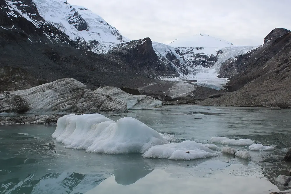
Pasterze At about 16 square kilometres (6.2 sq mi), the largest glacier in the Eastern Alps. Between 2006 and 2016 its tongue shrank by about 40 metres (131 ft) a year.
Own page
Grossglockner High Alpine Road 48 kilometres (30 mi), 36 hairpin bends and a view of Austria's highest mountain: the road runs along the national park, not through it.
Toll, season & opening times
Add to your Hohe Tauern National Park visit Open in OpenStreetMap ↗ Location source ↗
47.08479, 12.72156
All places Photo: Klaftan ↗ · CC BY-SA 4.0 ↗
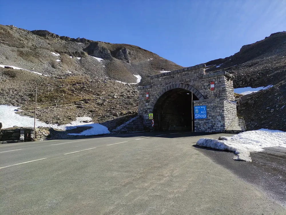
Hochtor At 2,504 metres (8,215 ft), the pass of the Grossglockner High Alpine Road; a short tunnel here links Salzburg and Carinthia. Only the Edelweiss-Spitze, at the end of a spur road, is higher.
Own page
Grossglockner High Alpine Road 48 kilometres (30 mi), 36 hairpin bends and a view of Austria's highest mountain: the road runs along the national park, not through it.
Toll, season & opening times
Add to your Hohe Tauern National Park visit Open in OpenStreetMap ↗ Location source ↗
47.08472, 12.84209
All places Photo: Bahnfrend ↗ · CC BY-SA 4.0 ↗
Edelweiss-Spitze At 2,571 metres (8,435 ft), the highest point you can drive to on the Grossglockner High Alpine Road, reached by a spur road partly paved with old cobblestones.
Own page
Grossglockner High Alpine Road 48 kilometres (30 mi), 36 hairpin bends and a view of Austria's highest mountain: the road runs along the national park, not through it.
Toll, season & opening times
Add to your Hohe Tauern National Park visit Open in OpenStreetMap ↗ Location source ↗
47.12377, 12.83142
All places
Ferleiten toll station Northern toll station of the Grossglockner High Alpine Road. The car park costs €4 for four hours, €10 for the day.
Own page
Grossglockner High Alpine Road 48 kilometres (30 mi), 36 hairpin bends and a view of Austria's highest mountain: the road runs along the national park, not through it.
Toll, season & opening times
Add to your Hohe Tauern National Park visit Open in OpenStreetMap ↗ Location source ↗
47.16822, 12.81388
All places Photo: Quovadit ↗ · CC BY-SA 3.0 at ↗
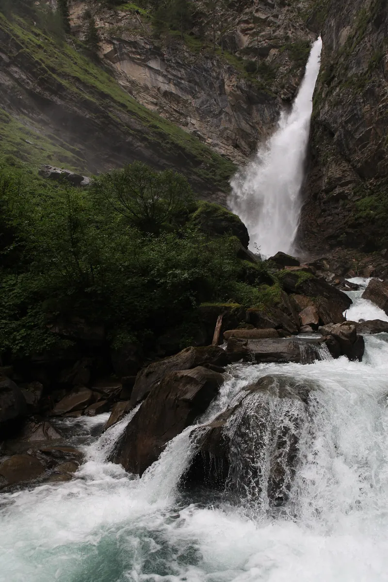
Gössnitz Falls Waterfall near Heiligenblut on the “Natura Mystica” themed trail.
Add to your Hohe Tauern National Park visit Open in OpenStreetMap ↗ Location source ↗
47.04209, 12.81155
All places Photo: Bahnfrend ↗ · CC BY-SA 4.0 ↗
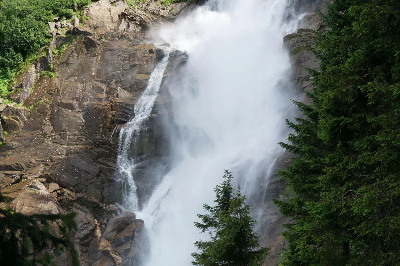
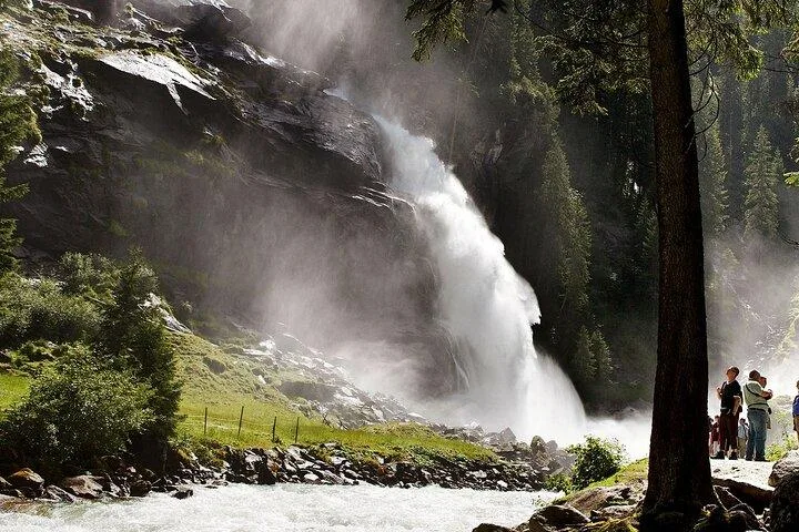
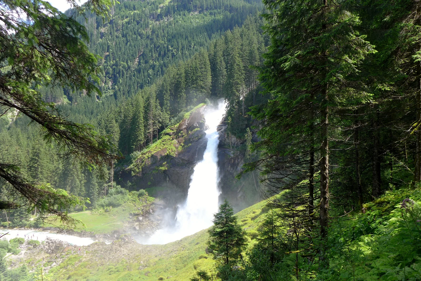
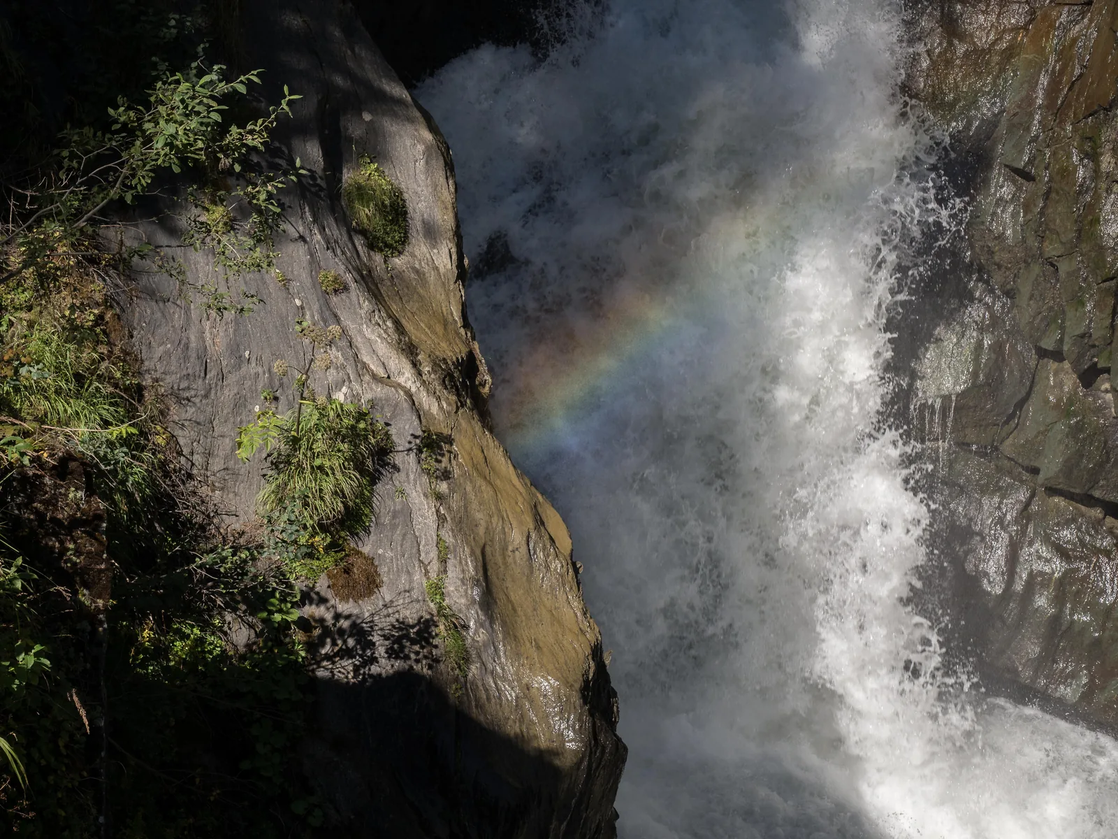
Krimml Waterfalls 380 metres (1,247 ft) in three tiers. The waterfall trail is open, with a fee, from 1 May to the end of October.
Three tiers, 380 metres (1,247 ft), and more water in the evening than in the morning.
Coordinates 47.208376, 12.170224
Height 380 metres (1,247 ft) in three tiers
Flow on average 5.6 m³ per second
Visitors about 400,000 a year
Catchment area 110.7 km², about 12 % glaciated
Peak flow between 21:00 and 24:00 Own page
Krimml Waterfalls 380 metres (1,247 ft) in three tiers: Austria's highest waterfalls lie in Hohe Tauern National Park, and a zigzag trail from 1900 passes all three.
Krimml Waterfalls tickets 2026 Waterfall trail (trail fee) €9.00 Combination ticket WasserWelten + waterfall trail + parking P4/P5 €15.90 Combination ticket, family €33.00
Tickets, season & parking
How to get there: vignette, tolls and tunnel
Parking at the Krimml Waterfalls According to the operator, there are enough paid car parks for cars and coaches near the Krimml Waterfalls. A combination ticket for the WasserWelten, the waterfall trail and the parking fee at the WasserWelten car park (P4) is only sold at the Krimml WasserWelten ticket office. Without a car, take the Pinzgau local railway.
Krimml Waterfalls (Austrian Alpine Club, Warnsdorf-Krimml section): tickets ↗
Guided from here · Ad
Partner links: we may earn a commission if you book – at no extra cost to you. Thank you for supporting the atlas. Dates and prices with the provider.
Add to your Hohe Tauern National Park visit Open in OpenStreetMap ↗ Location source ↗
47.20838, 12.17022
All places Photo: Corradox ↗ · CC BY-SA 4.0 ↗
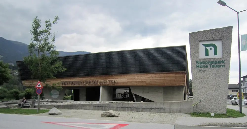
Mittersill National Park Centre The “Nationalparkwelten” exhibition in the Salzburg part, open daily. Reachable on the Pinzgau local railway.
Add to your Hohe Tauern National Park visit Open in OpenStreetMap ↗ Location source ↗
47.27866, 12.47651
All places Photo: Ondřej Žváček ↗ · CC BY 2.5 ↗
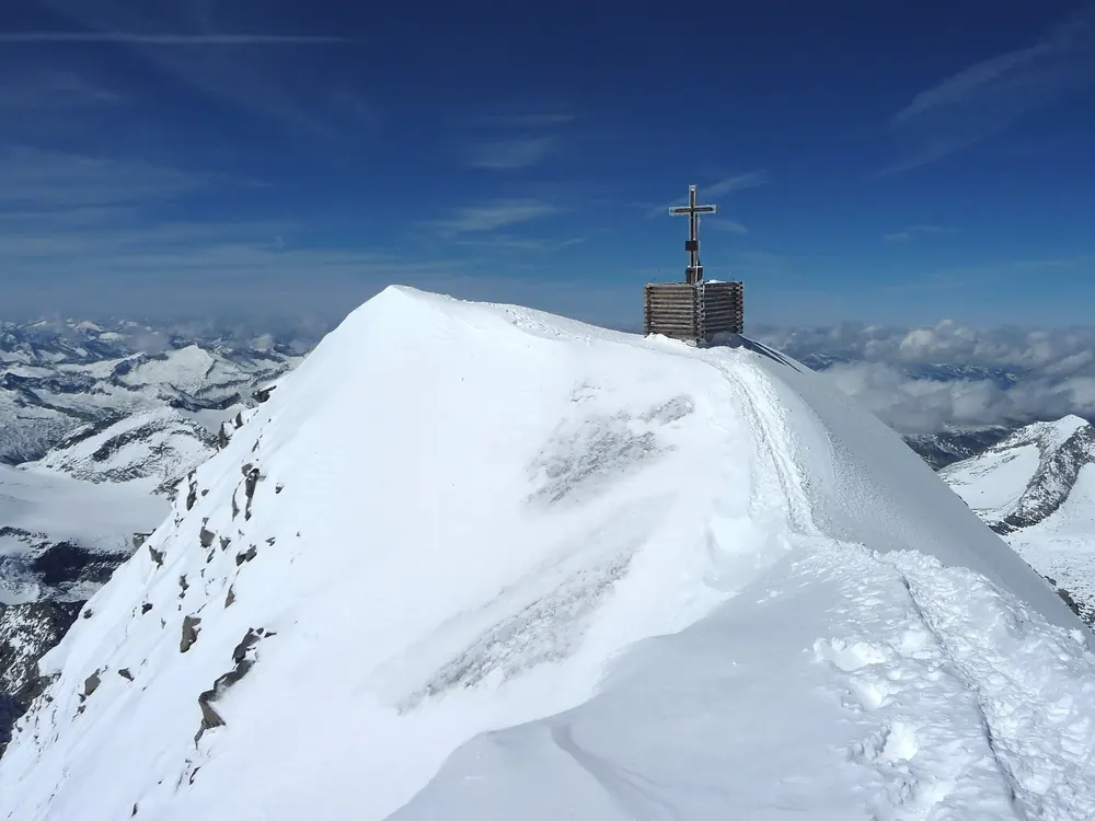
Grossvenediger The park's second great summit, between Salzburg and East Tyrol.
Add to your Hohe Tauern National Park visit Open in OpenStreetMap ↗ Location source ↗
47.10927, 12.34534
All places Photo: Naturpuur ↗ · CC BY 4.0 ↗
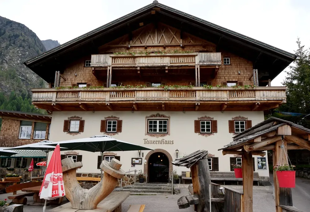
Matreier Tauernhaus Car park on the Felbertauern Road. From here on foot or by shuttle into the Gschlöss Valley.
Add to your Hohe Tauern National Park visit Open in OpenStreetMap ↗ Location source ↗
47.11905, 12.49653
All places Photo: Michael Kranewitter ↗ · CC BY-SA 4.0 ↗
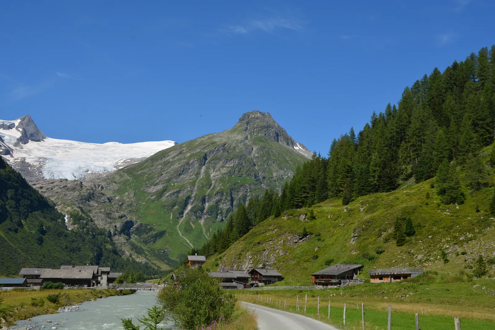
Innergschlöss Alpine hamlet at the head of the Gschlöss Valley; the glacier trail to the Schlatenkees starts here.
An alpine hamlet at the head of the valley and a glacier trail into the heart of the core zone.
Coordinates 47.123941, 12.451228 (Innergschlöss)
Trailhead Matreier Tauernhaus
Ascent about 500 metres (1,640 ft) of climbing to the Salzbodensee
Destination Glacier gate of the Schlatenkees
Season Late June to early September
Without a car Hiking bus from Matrei Add to your Hohe Tauern National Park visit Open in OpenStreetMap ↗ Location source ↗
47.12394, 12.45123
All places Photo: Michael Burgholzer ↗ · CC BY-SA 4.0 ↗
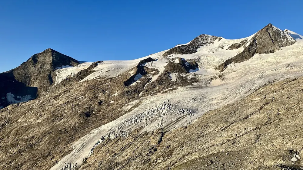
Schlatenkees Glacier on the Grossvenediger, the goal of the Innergschlöss glacier trail.
Add to your Hohe Tauern National Park visit Open in OpenStreetMap ↗ Location source ↗
47.10462, 12.35817
All places Photo: FkMohr ↗ · CC BY-SA 3.0 de ↗
Felbertauern Tunnel 5.3 kilometres (3.3 mi) long, with a toll. Links Mittersill with Matrei in East Tyrol.
Add to your Hohe Tauern National Park visit Open in OpenStreetMap ↗ Location source ↗
47.13915, 12.51927
All places Photo: Niki.L ↗ · CC BY-SA 4.0 ↗
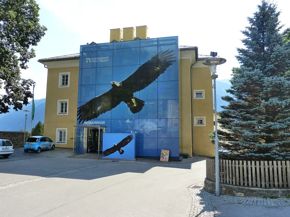
Matrei National Park House The “Tauernblicke” exhibition in the East Tyrol part; admission is free.
Add to your Hohe Tauern National Park visit Open in OpenStreetMap ↗ Location source ↗
47.00045, 12.54080
All places Photo: Sebastian Wolpers ↗ · CC BY-SA 4.0 ↗
Umbal Falls Cascades of the Isel at the head of the Virgen Valley, reached on a water trail from Ströden.
The Isel tumbles over smoothly polished greenstone: a glacier stream at full force.
Coordinates 47.009581, 12.300023
Trailhead Ströden car park, Hinterbichl
Distance about 8 km (5 mi), 3 hours there and back
Trail Water trail with platforms
Without a car National park hiking bus in summer Add to your Hohe Tauern National Park visit Open in OpenStreetMap ↗ Location source ↗
47.00958, 12.30002
All places Photo: Florian Fuchs ↗ · CC BY 3.0 ↗
Lucknerhaus Paid car park in Kals and trailhead into the Ködnitz Valley below the Grossglockner.
Add to your Hohe Tauern National Park visit Open in OpenStreetMap ↗ Location source ↗
47.02085, 12.68788
All places Photo: Clemens Stockner ↗ · CC BY-SA 4.0 ↗
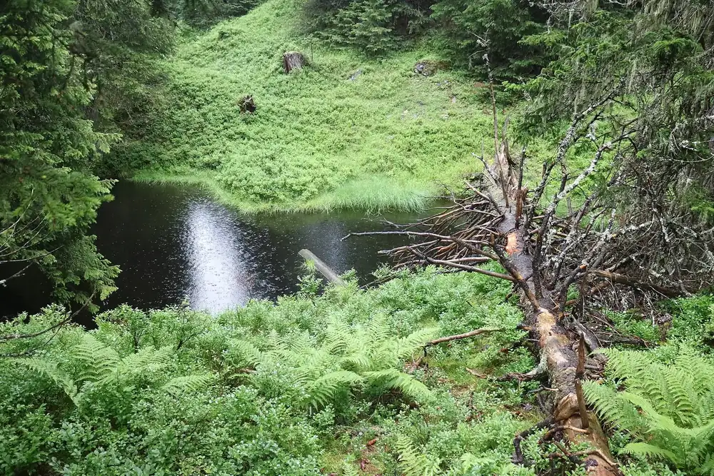
Rauris Primeval Forest Rockfall forest with about 80 pools, lakes and bogs at around 1,600 metres (5,249 ft).
Add to your Hohe Tauern National Park visit Open in OpenStreetMap ↗ Location source ↗
47.07530, 12.99167
All places Photo: Uoaei1 ↗ · CC BY-SA 4.0 ↗
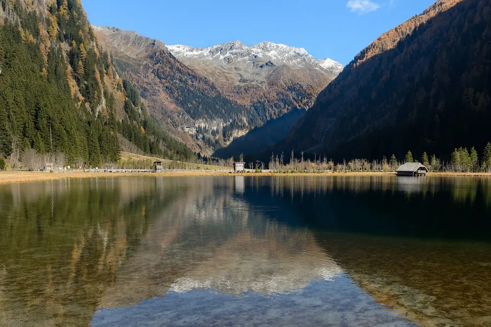
Stappitzer See Goal of the nature trail through the Seebach Valley near Mallnitz.
Add to your Hohe Tauern National Park visit Open in OpenStreetMap ↗ Location source ↗
47.01783, 13.19474
All places Photo: Herzi Pinki ↗ · CC BY-SA 3.0 ↗
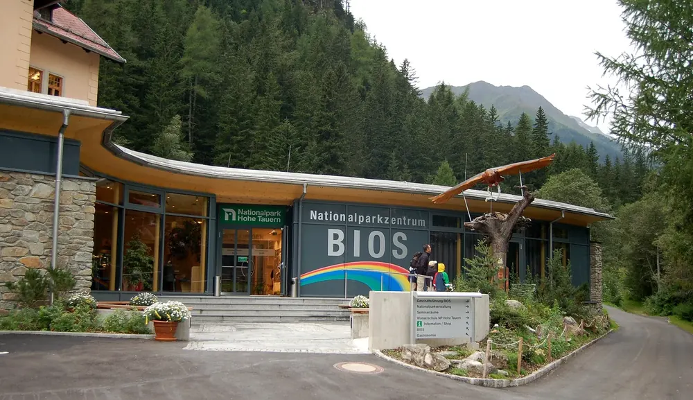
BIOS National Park Centre Mallnitz Visitor centre in the Carinthian part with the exhibition “univerzoom nationalpark”; reachable by train via Mallnitz station.
Add to your Hohe Tauern National Park visit Open in OpenStreetMap ↗ Location source ↗
46.99088, 13.16500
All places
Glocknerwinkel visitor centre At the end of the toll road to the Lucknerhaus in Kals; exhibition on the park's “Big Five”, with rangers in the main season.
Add to your Hohe Tauern National Park visit Open in OpenStreetMap ↗ Location source ↗
47.02149, 12.68902
All places
Ströden car park Car park in Hinterbichl and start of the water trail to the Umbal Falls; in summer the national park hiking bus runs here.
Add to your Hohe Tauern National Park visit Open in OpenStreetMap ↗ Location source ↗
47.01684, 12.31926
All places
Lenzanger car park Start of the themed trail through the Rauris Primeval Forest. By car on a toll road, by bus 640 to the Kolm Saigurn – Lenzanger car park stop.
Add to your Hohe Tauern National Park visit Open in OpenStreetMap ↗ Location source ↗
47.08189, 12.98542
All places
Mittersill station Station of the Pinzgau local railway and the gateway station for the Salzburg part; the national park centre is about ten minutes' walk away.
Add to your Hohe Tauern National Park visit Open in OpenStreetMap ↗ Location source ↗
47.28366, 12.48108
All places
Mallnitz-Obervellach station The park authority names Mallnitz as the gateway station for the Carinthian part; the BIOS National Park Centre is in the village.
Add to your Hohe Tauern National Park visit Open in OpenStreetMap ↗ Location source ↗
46.98191, 13.17607
All places
Fuscher Törl First view of the Grossglockner from the north, with a memorial to the workers who died building the road.
Own page
Grossglockner High Alpine Road 48 kilometres (30 mi), 36 hairpin bends and a view of Austria's highest mountain: the road runs along the national park, not through it.
Toll, season & opening times
Add to your Hohe Tauern National Park visit Open in OpenStreetMap ↗ Location source ↗
47.11679, 12.82391
All places
Fuscher Lacke Small lake you can walk round in about ten minutes; exhibition on building the road in the old road keeper's house.
Own page
Grossglockner High Alpine Road 48 kilometres (30 mi), 36 hairpin bends and a view of Austria's highest mountain: the road runs along the national park, not through it.
Toll, season & opening times
Add to your Hohe Tauern National Park visit Open in OpenStreetMap ↗ Location source ↗
47.11188, 12.83189
All places
Heiligenblut toll station Toll station on the Carinthian side above Heiligenblut.
Own page
Grossglockner High Alpine Road 48 kilometres (30 mi), 36 hairpin bends and a view of Austria's highest mountain: the road runs along the national park, not through it.
Toll, season & opening times
Add to your Hohe Tauern National Park visit Open in OpenStreetMap ↗ Location source ↗
47.04444, 12.85210
All places
Lower Krimml Waterfall The lowest tier, 10 to 15 minutes from the car park, barrier-free as far as the Kürsingerplatz.
Own page
Krimml Waterfalls 380 metres (1,247 ft) in three tiers: Austria's highest waterfalls lie in Hohe Tauern National Park, and a zigzag trail from 1900 passes all three.
Tickets, season & parking
Add to your Hohe Tauern National Park visit Open in OpenStreetMap ↗ Location source ↗
47.20763, 12.17123
All places
Middle Krimml Waterfall The middle tier after a short level stretch; nearby is the Schönangerl inn, halfway up.
Own page
Krimml Waterfalls 380 metres (1,247 ft) in three tiers: Austria's highest waterfalls lie in Hohe Tauern National Park, and a zigzag trail from 1900 passes all three.
Tickets, season & parking
Add to your Hohe Tauern National Park visit Open in OpenStreetMap ↗ Location source ↗
47.20499, 12.17308
All places
Upper Krimml Waterfall The highest tier at the end of the waterfall trail, about 1 hour 15 minutes from the lower fall; above it begins the Krimml Achen Valley.
Own page
Krimml Waterfalls 380 metres (1,247 ft) in three tiers: Austria's highest waterfalls lie in Hohe Tauern National Park, and a zigzag trail from 1900 passes all three.
Tickets, season & parking
Add to your Hohe Tauern National Park visit Open in OpenStreetMap ↗ Location source ↗
47.19895, 12.17185
All places
Kürsingerplatz First viewing area at the lower fall, named after Ignaz von Kürsinger, who had the first stepped path built around 1835. Access is barrier-free up to here.
Own page
Krimml Waterfalls 380 metres (1,247 ft) in three tiers: Austria's highest waterfalls lie in Hohe Tauern National Park, and a zigzag trail from 1900 passes all three.
Tickets, season & parking
Add to your Hohe Tauern National Park visit Open in OpenStreetMap ↗ Location source ↗
47.20915, 12.16926
All places
Waterfall trail ticket office This is where you pay the trail fee; boards on the waterfalls and the national park stand in the information area next to it. Lies just outside the park boundary.
Own page
Krimml Waterfalls 380 metres (1,247 ft) in three tiers: Austria's highest waterfalls lie in Hohe Tauern National Park, and a zigzag trail from 1900 passes all three.
Tickets, season & parking
Add to your Hohe Tauern National Park visit Open in OpenStreetMap ↗ Location source ↗
47.21080, 12.16820
All places
Krimml WasserWelten Waterfall Centre, House of Water and water park at the foot of the falls (OpenStreetMap object: the House of Water); this is where you get the combination ticket and validate your ticket for car parks P4 and P5.
Own page
Krimml Waterfalls 380 metres (1,247 ft) in three tiers: Austria's highest waterfalls lie in Hohe Tauern National Park, and a zigzag trail from 1900 passes all three.
Tickets, season & parking
Add to your Hohe Tauern National Park visit Open in OpenStreetMap ↗ Location source ↗
47.21428, 12.16969
All places
Car park P4 Burgwaldwiese WasserWelten car park for cars and coaches; free for up to 20 minutes, €5.70 for up to 2 hours, maximum €24 per day. Free with an adult WasserWelten ticket.
Own page
Krimml Waterfalls 380 metres (1,247 ft) in three tiers: Austria's highest waterfalls lie in Hohe Tauern National Park, and a zigzag trail from 1900 passes all three.
Tickets, season & parking
Add to your Hohe Tauern National Park visit Open in OpenStreetMap ↗ Location source ↗
47.21450, 12.16842
All places
Krimml station Terminus of the Pinzgau local railway from Zell am See, in Vorderkrimml about three kilometres (1.9 mi) before the falls. In 2026 replacement buses run between Mittersill and Krimml.
Own page
Krimml Waterfalls 380 metres (1,247 ft) in three tiers: Austria's highest waterfalls lie in Hohe Tauern National Park, and a zigzag trail from 1900 passes all three.
Tickets, season & parking
Add to your Hohe Tauern National Park visit Open in OpenStreetMap ↗ Location source ↗
47.23446, 12.19630
All places
Krimmler Tauernhaus Goal for many who hike on beyond the upper fall into the Krimml Achen Valley; lies within the national park.
Own page
Krimml Waterfalls 380 metres (1,247 ft) in three tiers: Austria's highest waterfalls lie in Hohe Tauern National Park, and a zigzag trail from 1900 passes all three.
Tickets, season & parking
Add to your Hohe Tauern National Park visit Open in OpenStreetMap ↗ Location source ↗
47.13896, 12.19089