

The Krimml Waterfalls: three tiers in Hohe Tauern National Park
A glacier stream, a trail from 1900 and an admission fee that pays for the trail.
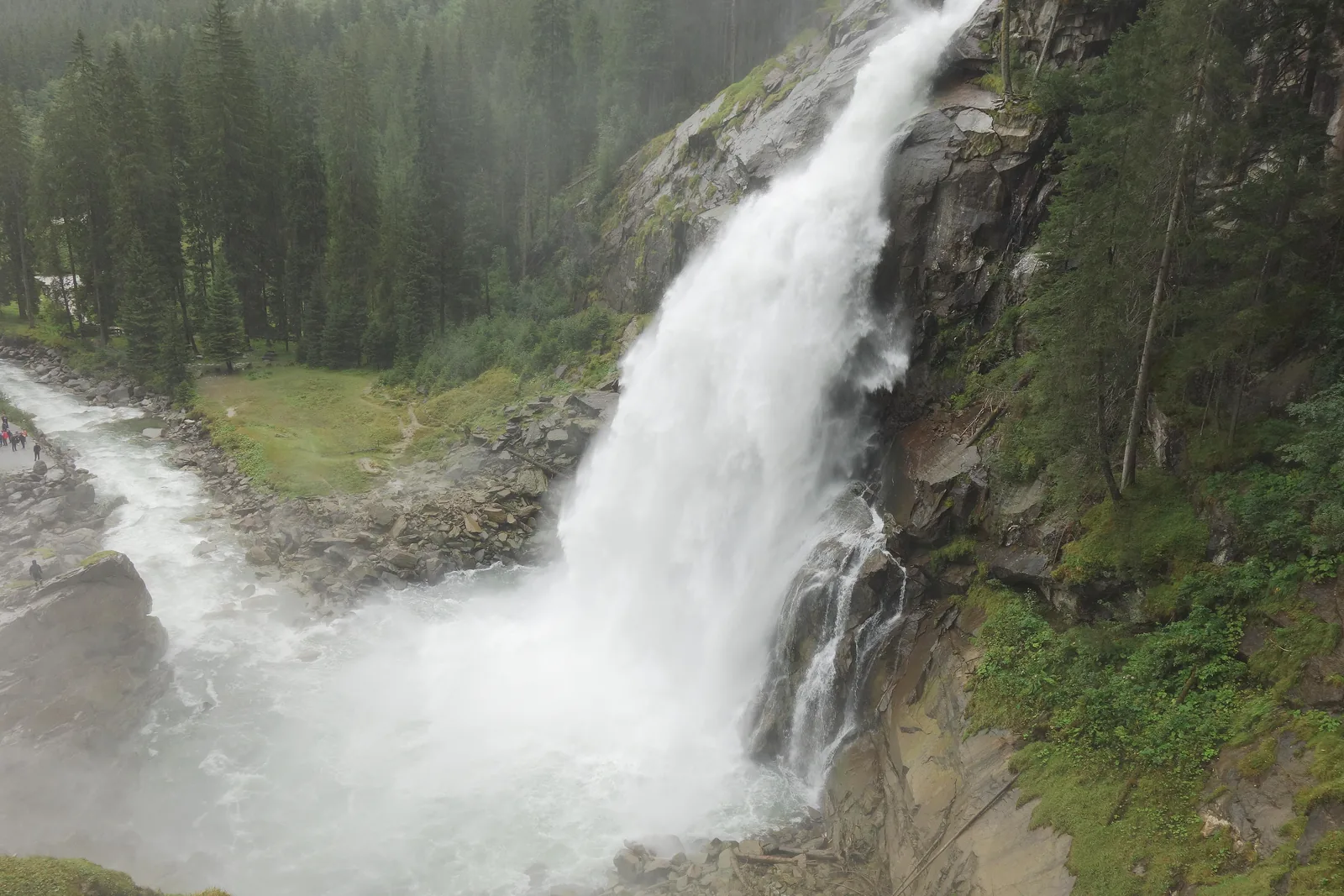
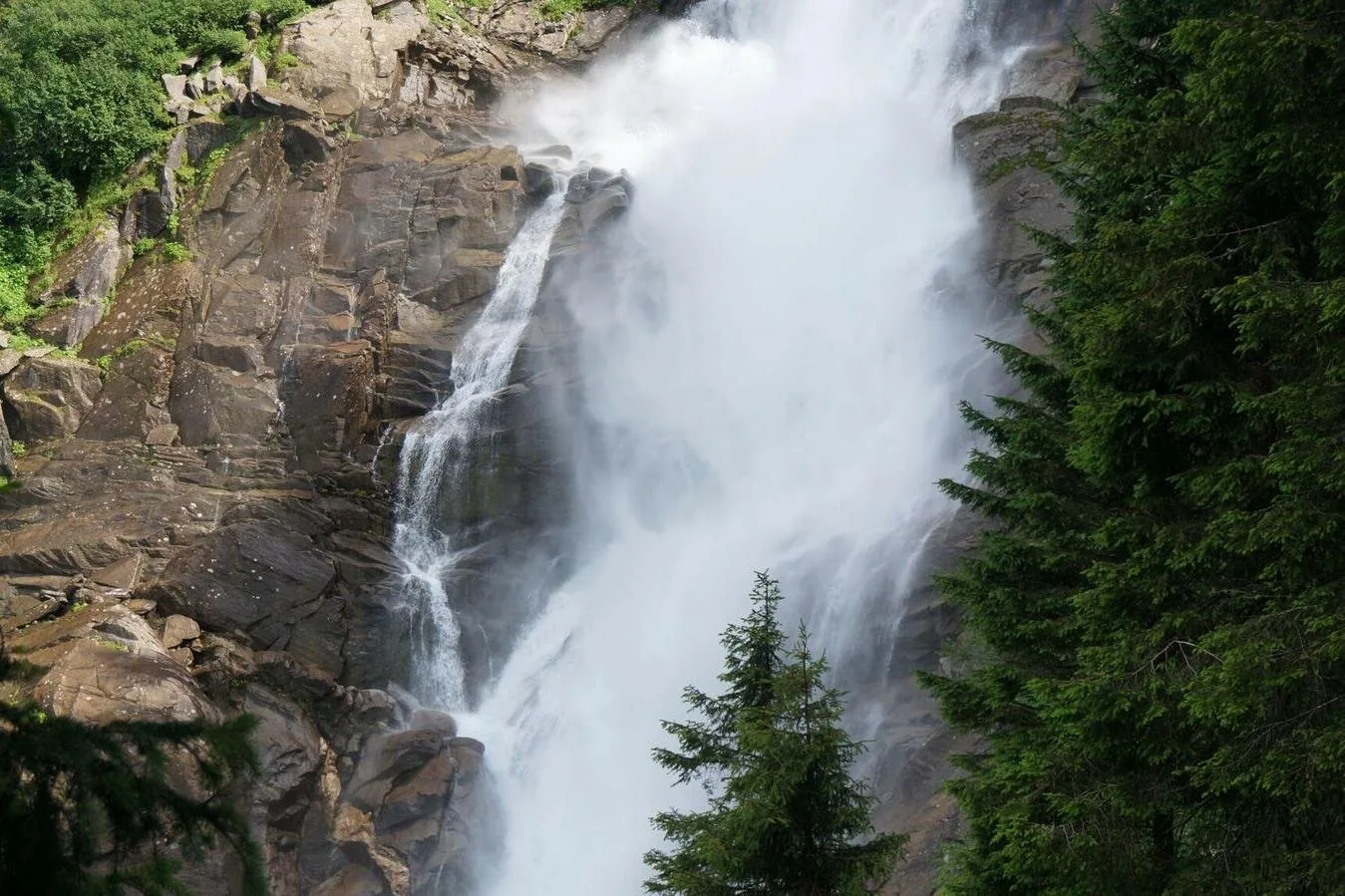
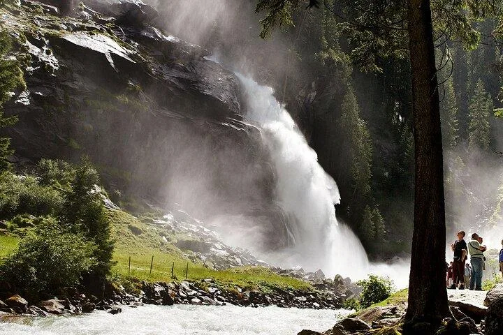
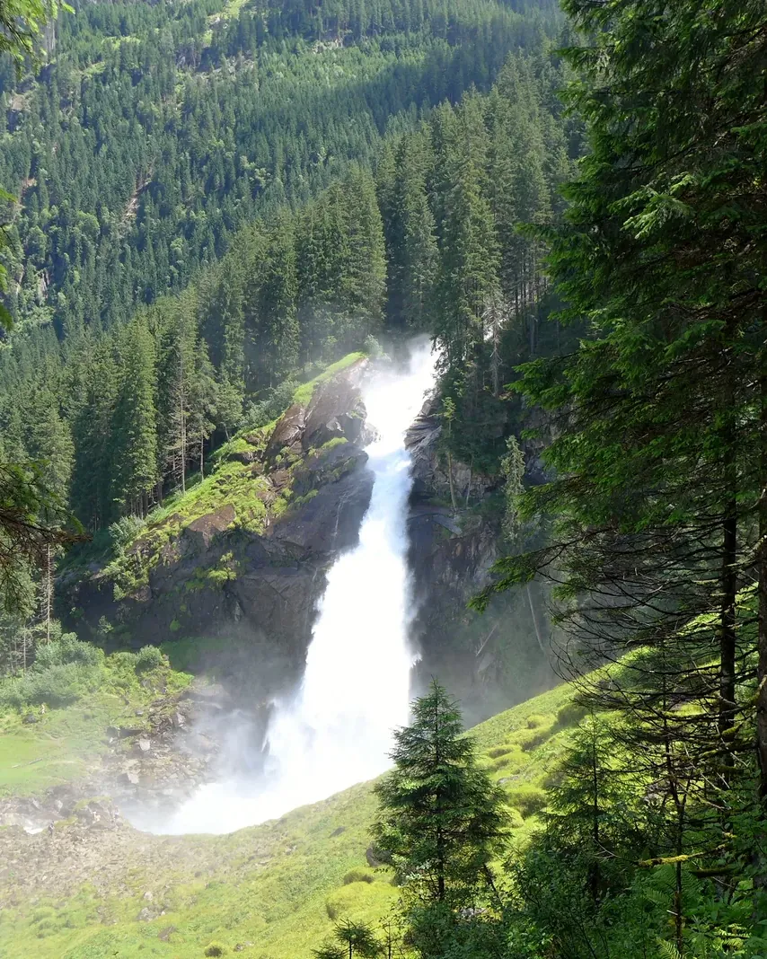
At the mouth of the Krimml Achen Valley, the Krimmler Ache plunges 380 metres (1,247 ft) in three tiers into the Salzach Valley: 140 metres (459 ft) at the top, 100 metres (328 ft) in the middle and more than 140 metres at the bottom. According to the Austrian Alpine Club, they are the largest waterfalls in Europe; about 400,000 people come every year.
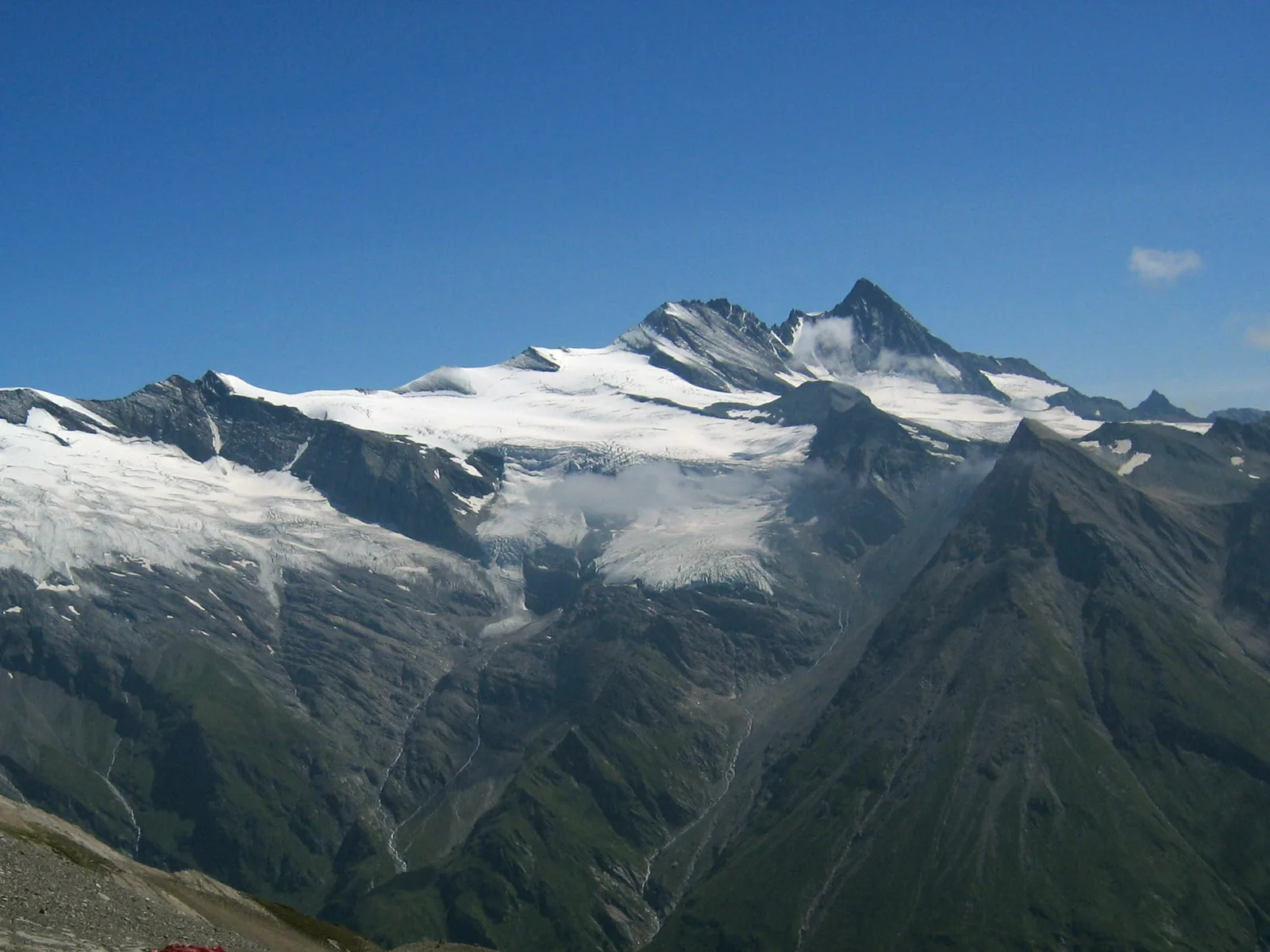
The falls lie in Hohe Tauern National Park and have been covered by the Salzburg National Park Act since 1983. A comparison with the park boundary in OpenStreetMap confirms this: all three tiers and the Kürsingerplatz lie inside, while the ticket office, car parks, bus stop and WasserWelten lie just outside.
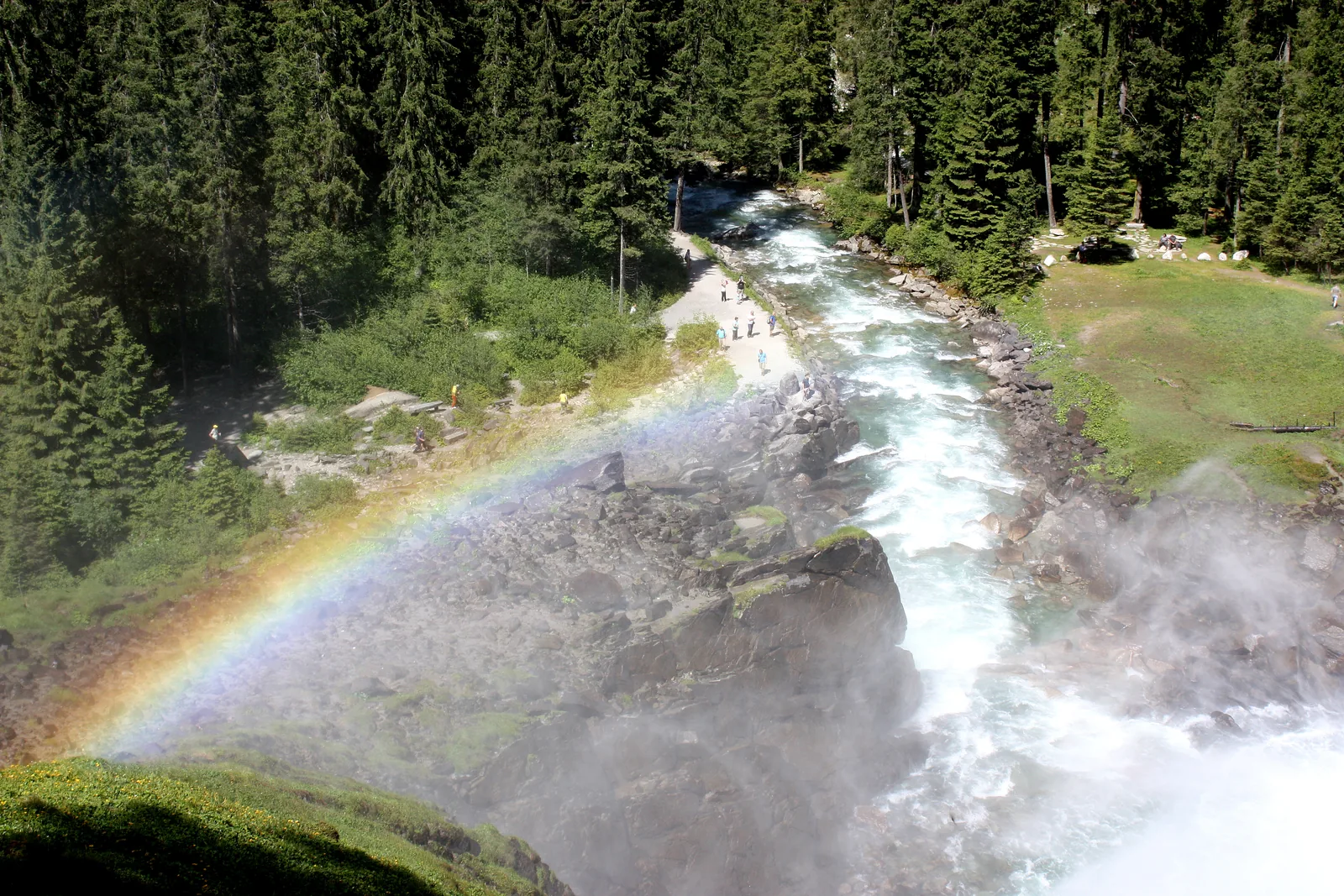
The Warnsdorf section of the Alpine Club built the waterfall trail from 1900 onwards; it zigzags beside the water with viewing pulpits and lookouts and continues into the Krimml Achen Valley. The section still runs the trail today and charges a trail fee for it.
The flow varies greatly: in June and July the Krimmler Ache carries 30 to 40 times as much water as in February. Because meltwater takes nine to twelve hours to flow from the glacier gate to the falls, the flow is highest between 21:00 and 24:00.
Austrian Alpine Club, Warnsdorf-Krimml section: the Krimml Waterfalls ↗
In numbers
- Total height
- 380 m
- Upper fall
- 140 m
- Middle fall
- 100 m
- Lower fall
- over 140 m
- Average flow
- 5.6 m³ per second
- Waterfall trail
- 4.15 km (2.6 mi), 431 m (1,414 ft) of ascent
- Visitors
- about 400,000 a year
- European Diploma
- since 1967