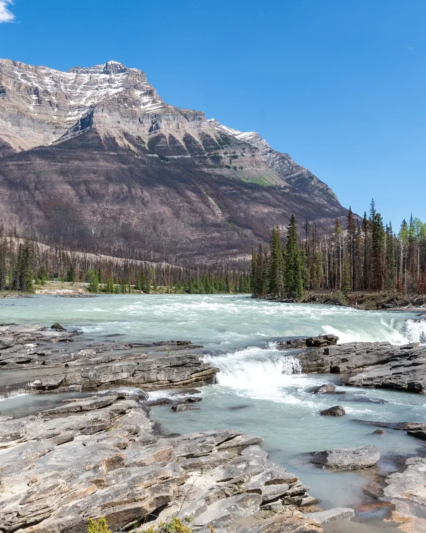


Athabasca Falls: not high, but immensely powerful
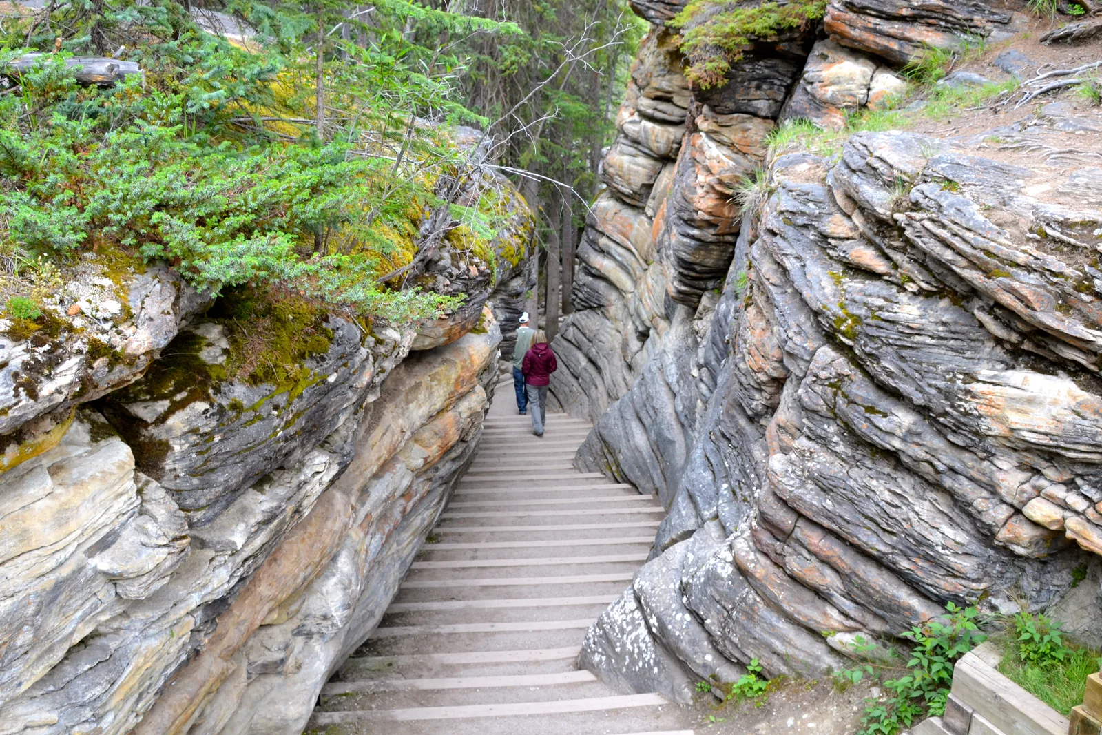
A short stop on the Icefields Parkway, with paths along the brink, a stairway and a bridge over the canyon.
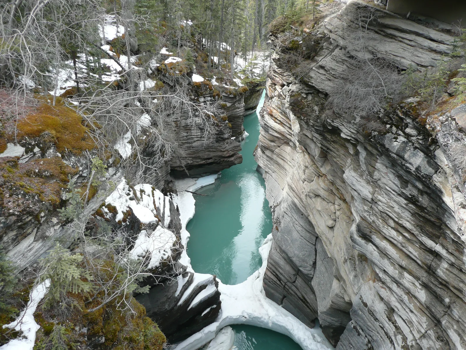
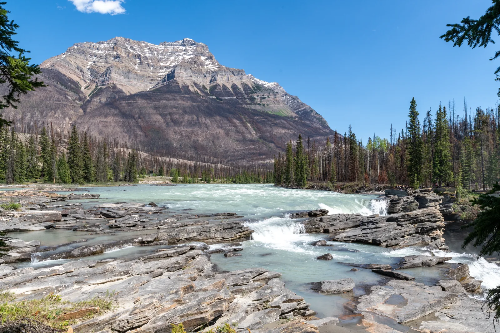
At 23 metres (75 ft), Athabasca Falls is not high by Canadian Rockies standards. But the river is so large that it ranks among the most powerful waterfalls in the mountain national parks. The water pours over a layer of hard quartzite and has cut into the softer limestone beneath, carving potholes and a short canyon.
The Athabasca flows from the glaciers of the Columbia Icefield and is the largest river system in Jasper National Park. In 1810 the map-maker David Thompson travelled it in search of a fur trade route to the Pacific; in January 1811 he discovered Athabasca Pass.
In 1862 the Overlanders followed the river on their way to the Cariboo Gold Rush, and 30 years later two railways came. The Athabasca has been a Canadian Heritage River since 1989.
Parks Canada: Athabasca Falls (read on 4 Oct 2026) ↗
In numbers
- Drop
- 23 m (75 ft)
- From Jasper
- 30 km (19 mi)
- From Lake Louise
- 203 km (126 mi)
- Return walk
- 200 m, about half an hour
- Path to the upper viewpoint
- 150 m
- Steps to the bridge
- 14
- Parking spaces
- 93
- Busiest
- 10:00 to 19:00
- Heritage River since
- 1989
- Sunwapta Falls from Jasper
- 54 km (34 mi)