All places
Whistlers Official campground location. Check the season and free sites before you travel.
Where to stay: campgrounds in Jasper
Whistlers Camping with hot showers, a playground and summer evening programmes. The official map shows the location; choose booking and site type separately.
Campgrounds & booking ↗
Guided from here · Ad
Partner links: we may earn a commission if you book. Dates and prices with the provider.
Add to your Jasper National Park visit Open in OpenStreetMap ↗ Location source: POINT (-118.07743287809039, 52.85095175559883)
52.85095, -118.07743
All places
Wapiti Official campground location. Check the season and free sites before you travel.
Where to stay: campgrounds in Jasper
Wapiti On the Athabasca River, with tent sites and electrical hook-ups for RVs. The campground is also listed for winter camping.
Accessible facilities and trails ↗
Add to your Jasper National Park visit Open in OpenStreetMap ↗ Location source: POINT (-118.06195667290181, 52.83417571659379)
52.83418, -118.06196
All places Photo: Florian Fuchs ↗ · CC BY 3.0 ↗
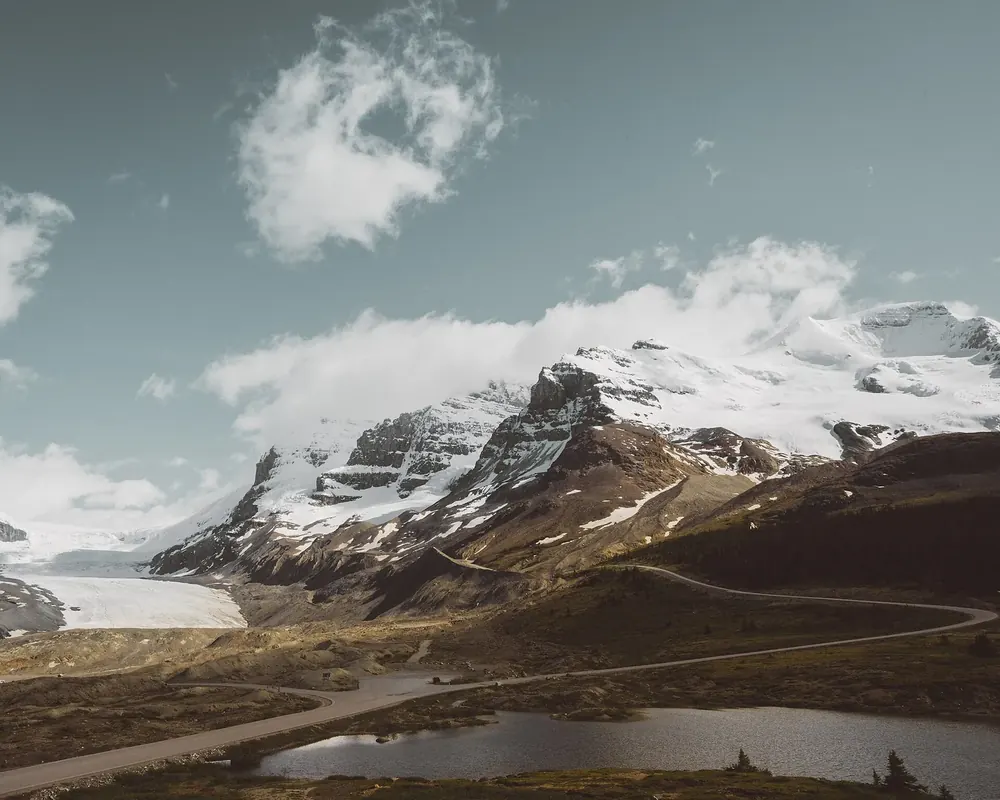
Icefields Parkway 232 kilometres (144 mi) of glaciers, lakes and passes, with a single petrol station and almost no mobile signal.
The scenic Highway 93N links Lake Louise in Banff with the town of Jasper. It is no ordinary highway: without preparation the drive becomes a problem.
Length 232 km (144 mi) between Lake Louise and the town of Jasper.
Services Remote road with few facilities and no mobile coverage.
Weather Road conditions and weather change with the season and even by the hour.
Park pass Required on the Icefields Parkway.
Before you drive Check road conditions on 511 Alberta and the weather on weather.gc.ca, and download what you need in advance.
Self-reliance Parks Canada explicitly expects travellers to be self-sufficient, especially in winter. Own page
Icefields Parkway 232 kilometres (144 mi) of glaciers, lakes and passes, with a single petrol station and almost no mobile signal.
Stops & tips
Guided from here · Ad
Partner links: we may earn a commission if you book. Dates and prices with the provider.
Add to your Jasper National Park visit Open in OpenStreetMap ↗ Location source ↗
52.22028, -117.22417
All places Photo: Christian Abend from Laufen /, Bayern / Deutschland ↗ · CC BY-SA 2.0 ↗
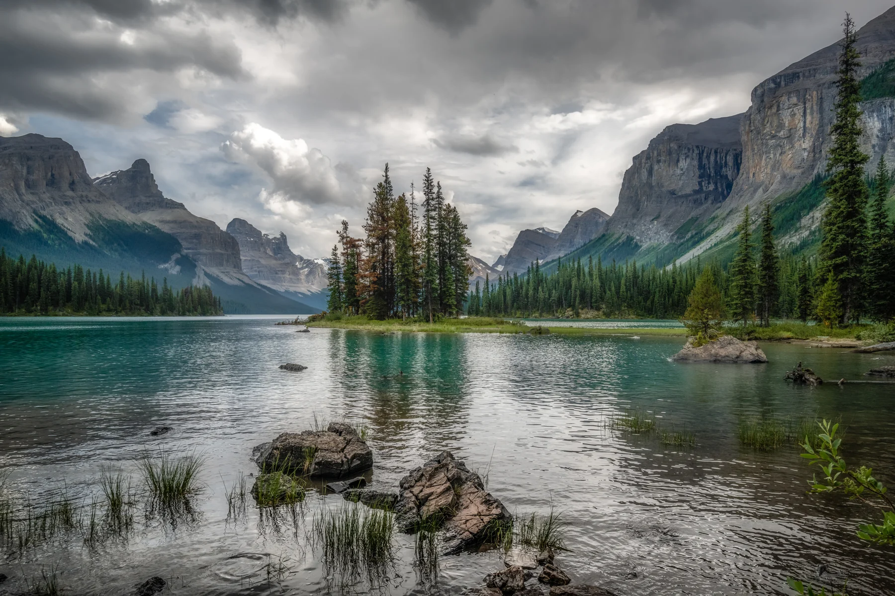
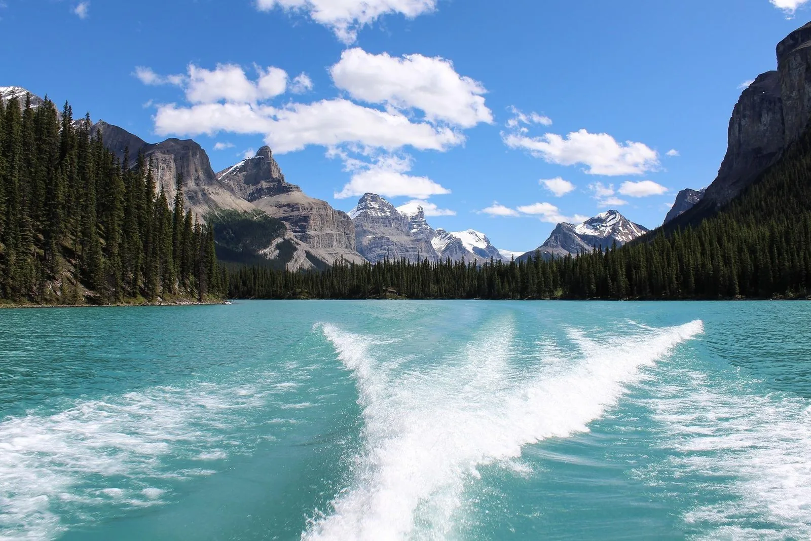
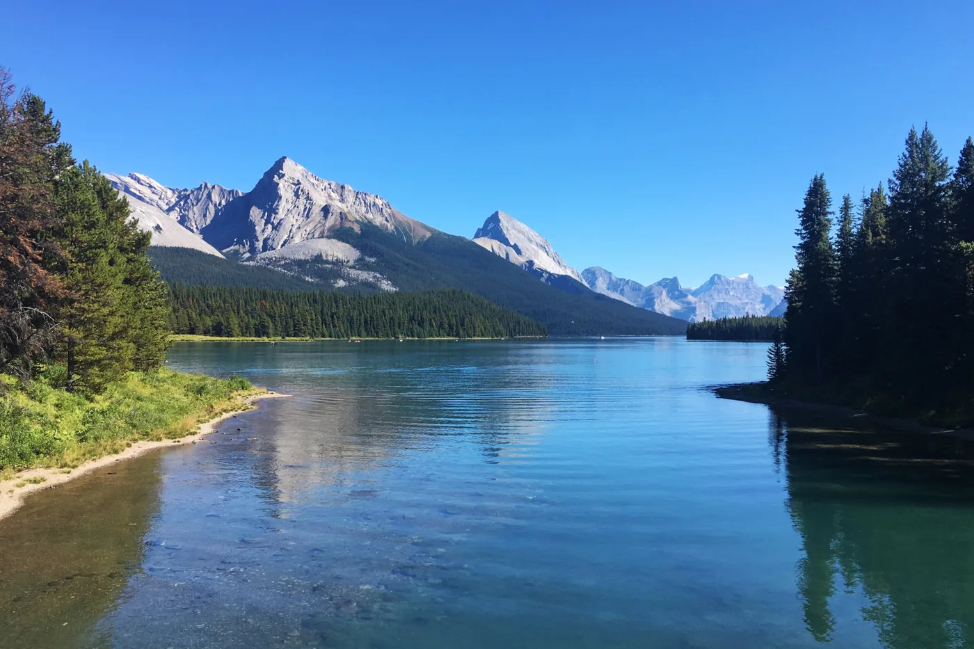
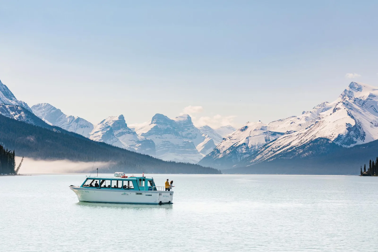
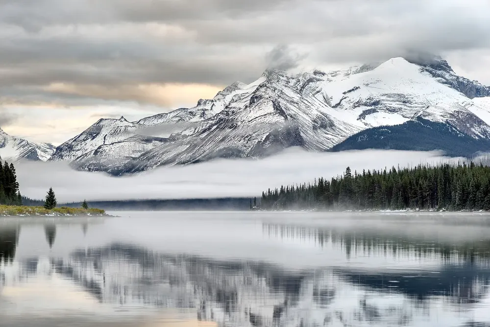
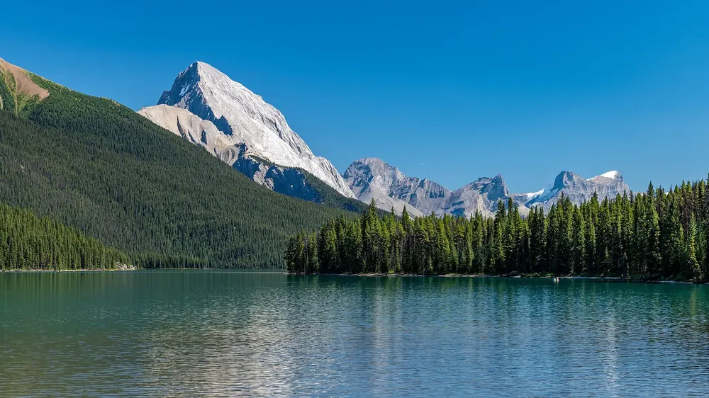
Maligne Lake You can only reach Spirit Island by water, and you may not set foot on it.
Own page
Maligne Lake You can only reach Spirit Island by water, and you may not set foot on it.
Cruise & getting there
Guided from here · Ad
Partner links: we may earn a commission if you book. Dates and prices with the provider.
Add to your Jasper National Park visit Open in OpenStreetMap ↗ Location source ↗
52.66130, -117.52821
All places Photo: adrian aows ↗ · CC0 1.0 ↗
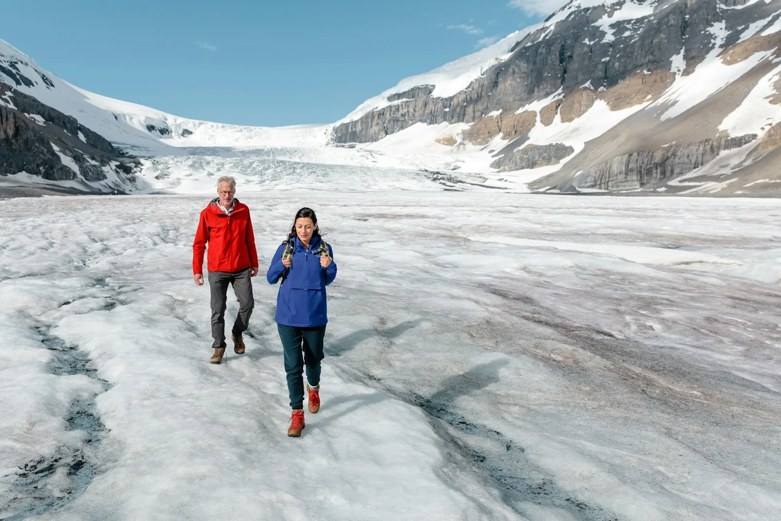
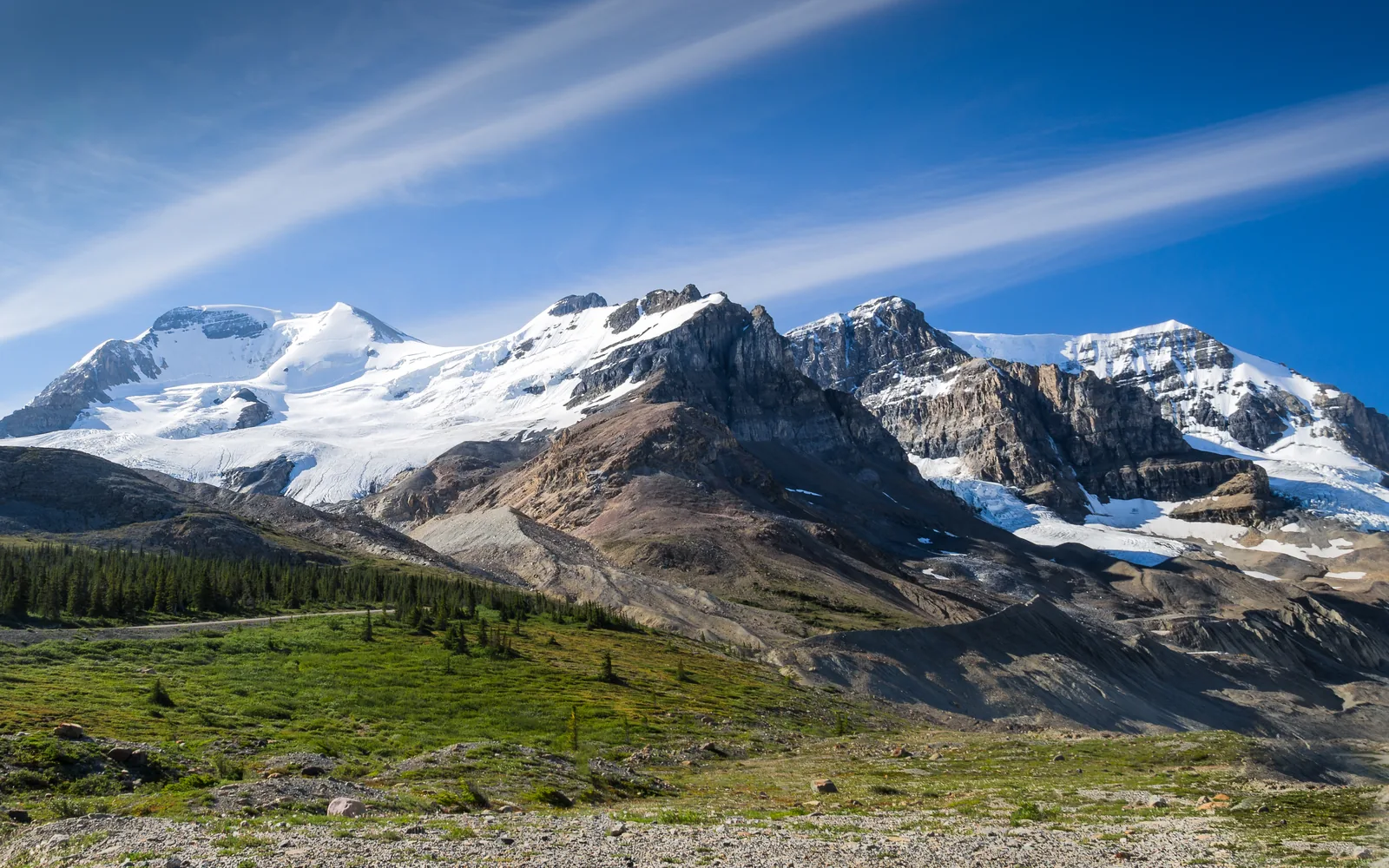
Athabasca Glacier The tongue of the Columbia Icefield. On foot only on marked trails up to the edge; onto the ice with the Ice Explorer.
Own page
Icefields Parkway 232 kilometres (144 mi) of glaciers, lakes and passes, with a single petrol station and almost no mobile signal.
Stops & tips
Add to your Jasper National Park visit Open in OpenStreetMap ↗ Location source ↗
52.18842, -117.25833
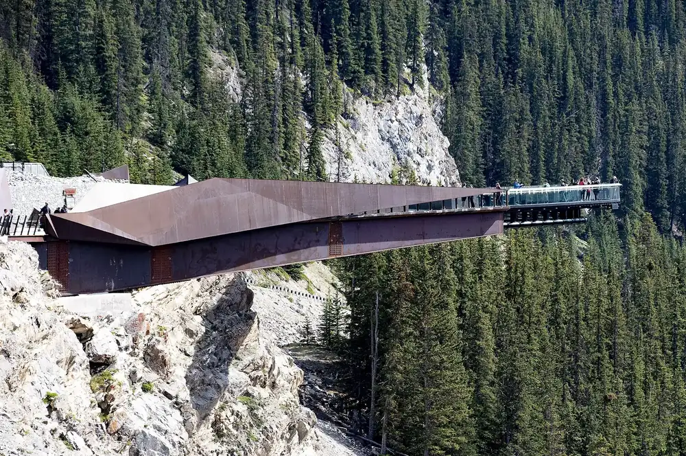
All places Photo: Ron Cogswell from Arlington, Virginia, USA ↗ · CC BY 2.0 ↗
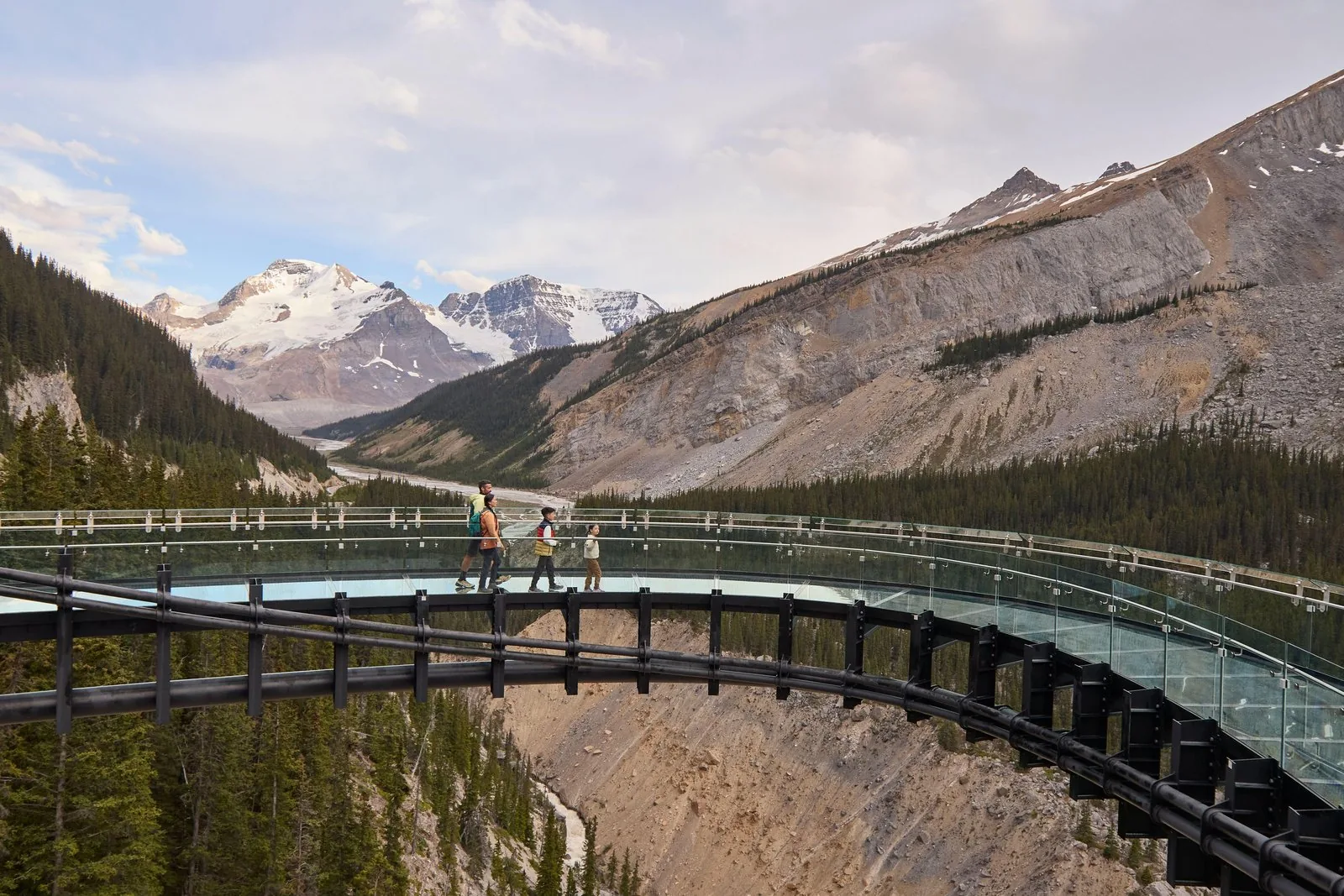
Columbia Icefield Skywalk Only reachable by shuttle from the Discovery Centre; there is no parking there.
Own page
Icefields Parkway 232 kilometres (144 mi) of glaciers, lakes and passes, with a single petrol station and almost no mobile signal.
Stops & tips
Add to your Jasper National Park visit Open in OpenStreetMap ↗ Location source ↗
52.25872, -117.27701
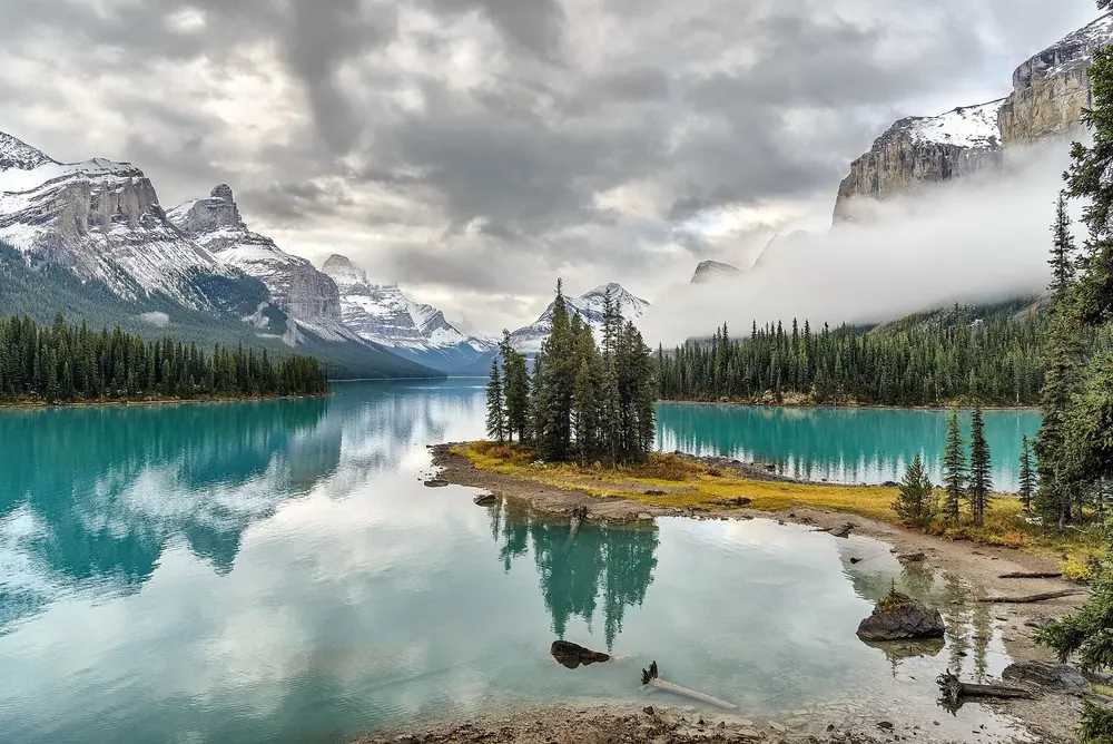
All places Photo: Sergey Pesterev ↗ · CC BY-SA 4.0 ↗
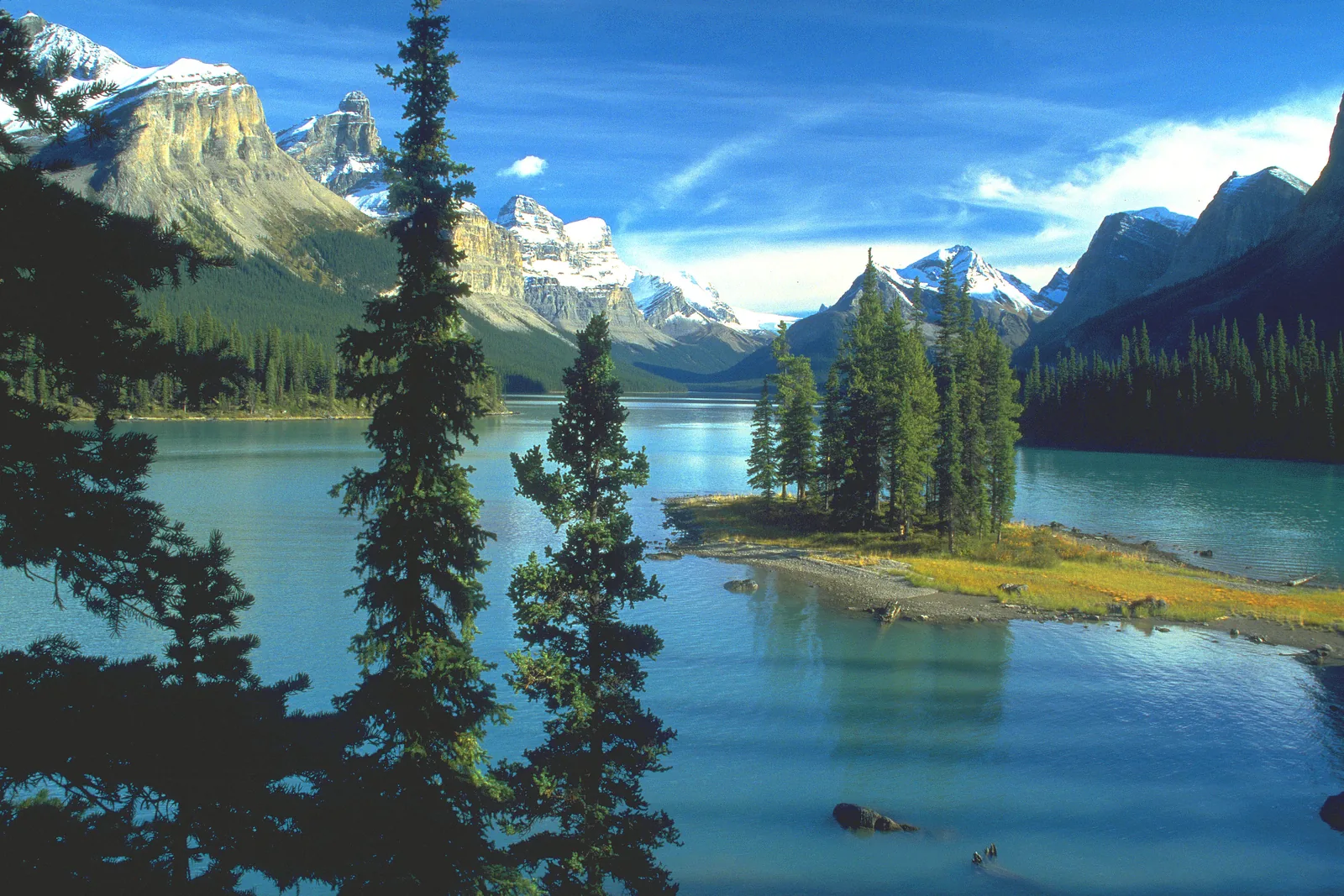
Spirit Island The small island with spruces, visible only from the boat. Landing is not allowed, out of respect for its significance to the Stoney Nakoda.
Own page
Maligne Lake You can only reach Spirit Island by water, and you may not set foot on it.
Cruise & getting there
Add to your Jasper National Park visit Open in OpenStreetMap ↗ Location source ↗
52.64313, -117.49238
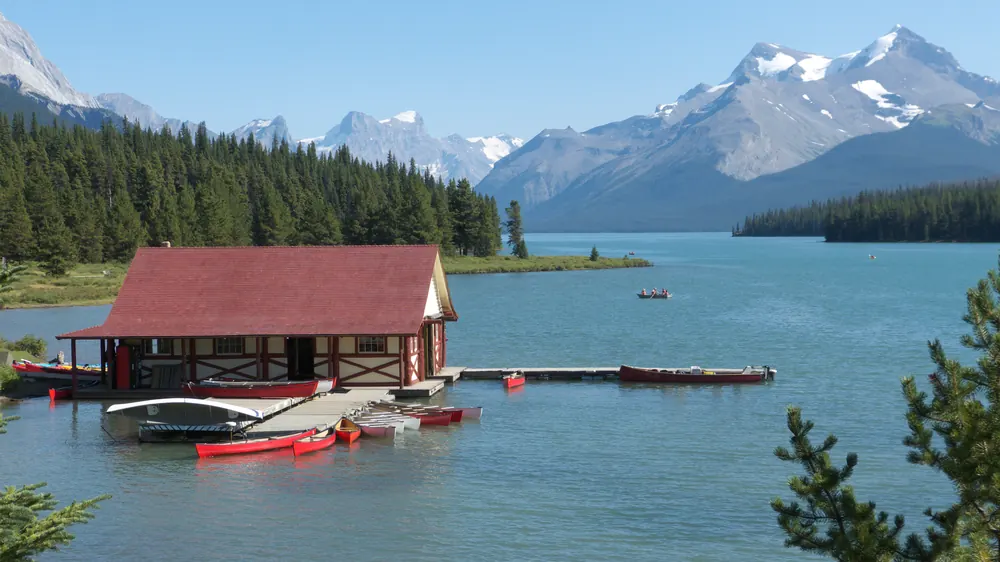
All places Photo: AltrendoImages ↗ · Envato · Projektlizenz ↗
Boathouse and dock Ticket office, boathouse and dock at the north end of the lake. Canoes and kayaks can also be rented here.
Own page
Maligne Lake You can only reach Spirit Island by water, and you may not set foot on it.
Cruise & getting there
Add to your Jasper National Park visit Open in OpenStreetMap ↗ Location source ↗
52.72868, -117.63844
All places Surroundings Photo: Sergey Pesterev ↗ · CC BY-SA 4.0 ↗
Maligne Lake Chalet The historic chalet on the shore, now a restaurant. Next to it are the Lake House Café and a waffle stand.
Own page
Maligne Lake You can only reach Spirit Island by water, and you may not set foot on it.
Cruise & getting there
Add to your Jasper National Park visit Open in OpenStreetMap ↗ Location source ↗
52.72890, -117.64236
All places Surroundings Photo: Christoph Strässler from Oberdorf BL, Schweiz ↗ · CC BY-SA 4.0 ↗
Maligne Lake parking lot The parking lot belongs to Parks Canada, not the cruise operator. From here a short path leads through the forest to the shore.
Own page
Maligne Lake You can only reach Spirit Island by water, and you may not set foot on it.
Cruise & getting there
Add to your Jasper National Park visit Open in OpenStreetMap ↗ Location source ↗
52.72667, -117.64459
All places Photo: Ezra Comeau ↗ · CC BY-SA 4.0 ↗
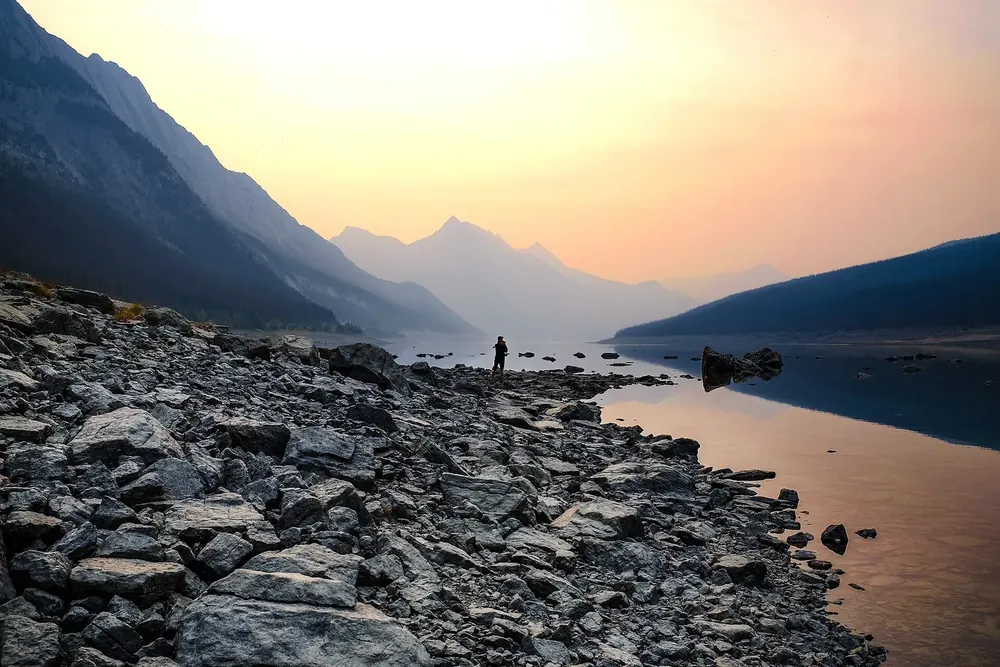
Medicine Lake The "disappearing" lake on Maligne Lake Road, with only 14 parking spaces at the viewpoint.
Own page
Maligne Lake You can only reach Spirit Island by water, and you may not set foot on it.
Cruise & getting there
Add to your Jasper National Park visit Open in OpenStreetMap ↗ Location source ↗
52.85869, -117.76381
Locations verified from the linked original sources and OpenStreetMap. The map shows no trails or park boundaries; markers do not imply that access is permitted.
Map: © OpenStreetMap contributors, OpenMapTiles, OpenFreeMap. Elevation: Terrain Tiles (Mapzen, AWS Open Data); 3DEP, GMTED2010 and SRTM courtesy of the U.S. Geological Survey; EU-DEM (Copernicus, European Union); ETOPO1 (NOAA); ArcticDEM (NSF, DigitalGlobe); Geoscience Australia; Open Data Austria (DGM); Open Government Licence – Canada; INEGI; Land Information New Zealand; Kartverket; Environment Agency (UK).
Park photo: Photo: Bernd Thaller ↗ · CC BY 2.0 ↗