All places Photo: Dirk Huizenga ↗ · CC BY-SA 4.0 ↗
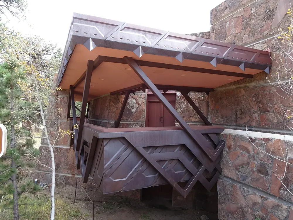
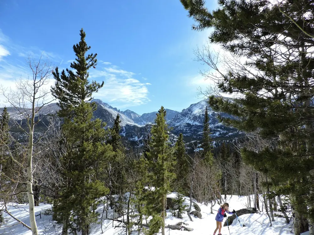
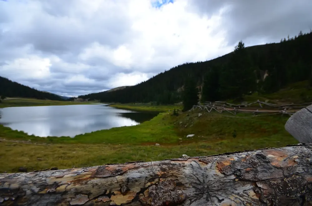
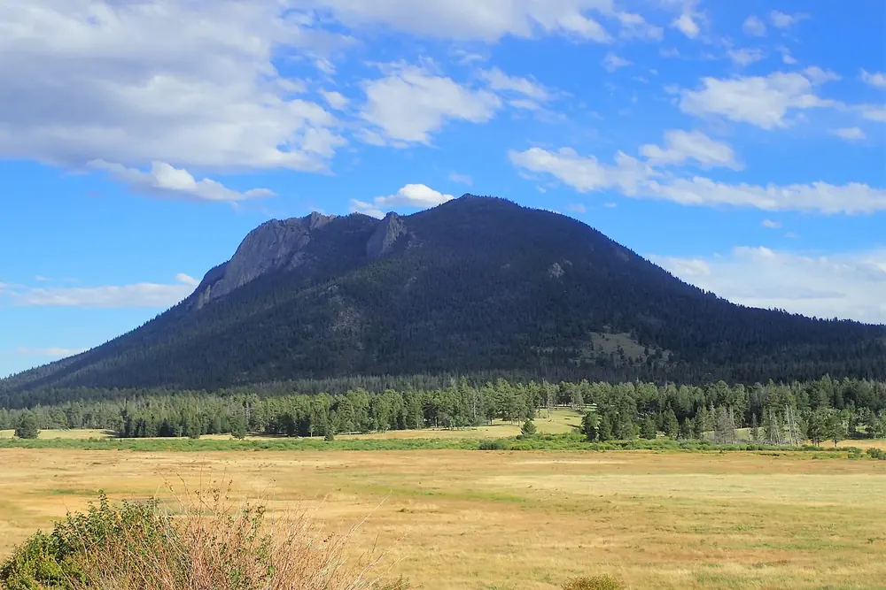
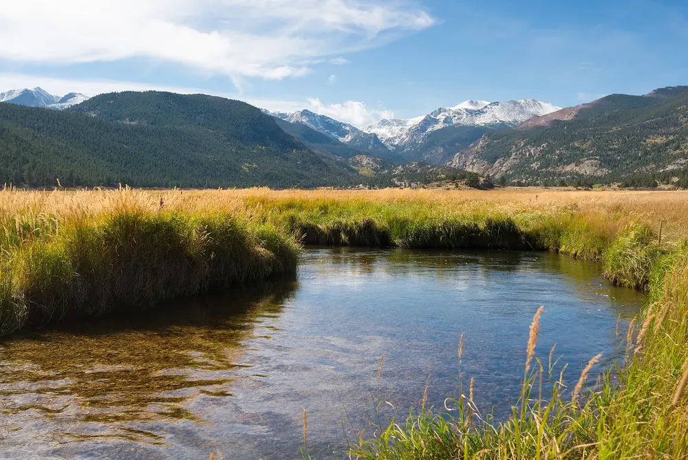
Beaver Meadows Visitor Center The main visitor centre at the east entrance near Estes Park, at 7,840 ft (2,390 m). From here it is 10.5 mi (16.9 km) to Bear Lake and 23 mi (37 km) to the Alpine Visitor Center.
Guided from here · Ad
Partner links: we may earn a commission if you book – at no extra cost to you. Thank you for supporting the atlas. Dates and prices with the provider.
Add to your Rocky Mountain visit Open in OpenStreetMap ↗ Location source ↗
40.36620, -105.56090
All places Photo: NPS Photo ↗ · Public domain ↗
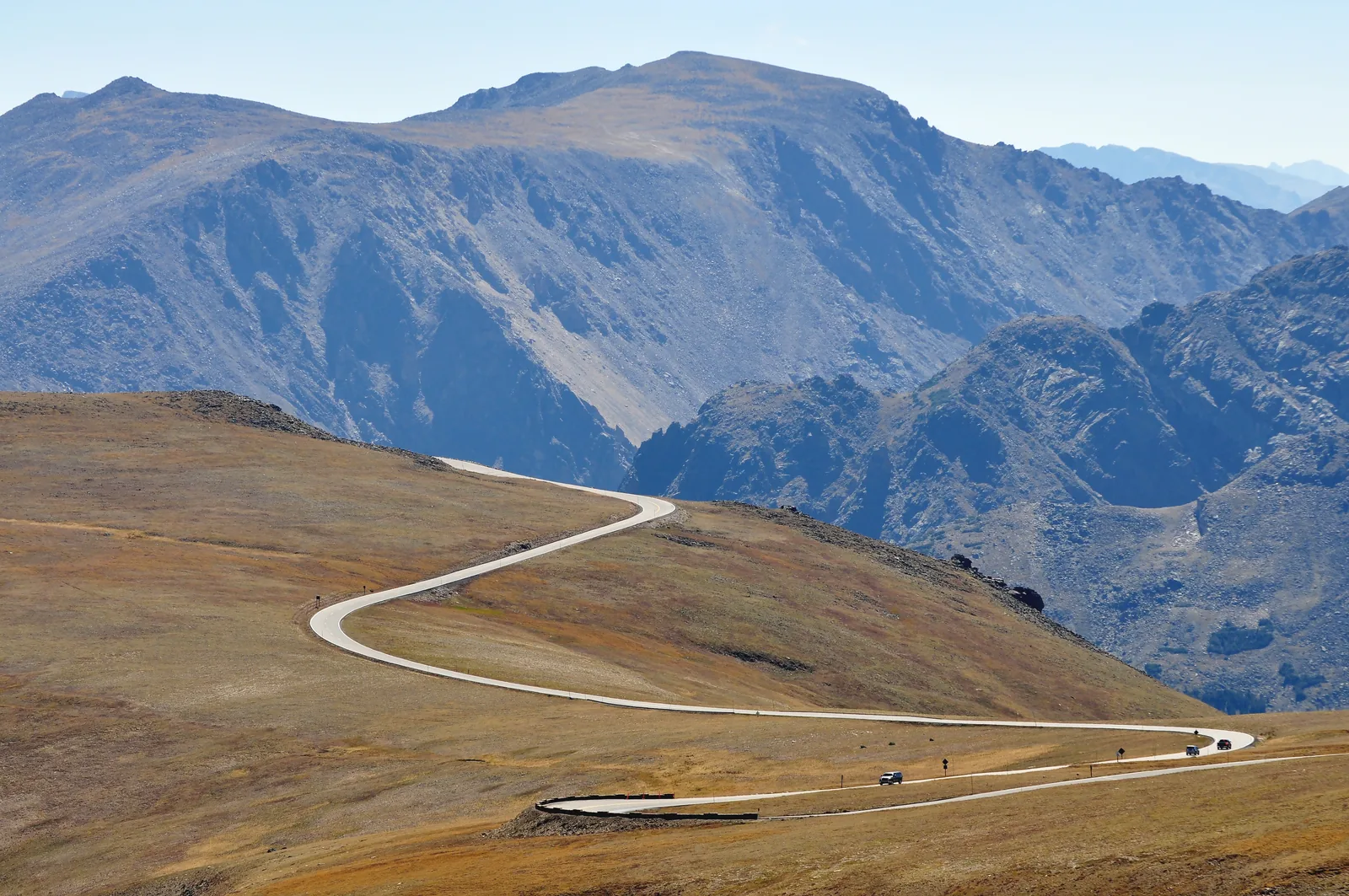
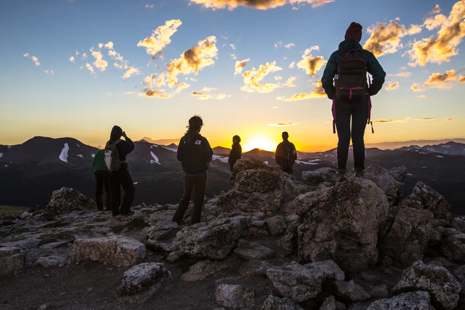
Alpine Visitor Center At 11,796 ft (3,595 m) on Fall River Pass, above the treeline. Only reachable while Trail Ridge Road is open.
At 3,595 m (11,796 ft), the highest visitor centre in the entire US national park system.
Elevation 11,796 ft, 3,595 m
Location Fall River Pass
Distance 23 mi (37 km) from Beaver Meadows
Access only when Trail Ridge Road is open
Surroundings alpine tundra, no trees
Access from below also via Old Fall River Road Add to your Rocky Mountain visit Open in OpenStreetMap ↗ Location source ↗
40.44090, -105.75456
All places
Kawuneeche Visitor Center At the Grand Lake entrance at 8,715 ft (2,656 m), 43.6 mi (70.2 km) from the Beaver Meadows Visitor Center. The quieter side of the park.
Add to your Rocky Mountain visit Open in OpenStreetMap ↗ Location source ↗
40.26680, -105.83258
All places
Moraine Park Discovery Center At 8,140 ft (2,481 m) on Bear Lake Road, 2.6 mi (4.2 km) from the main visitor centre, on the edge of the meadow where the elk graze.
Add to your Rocky Mountain visit Open in OpenStreetMap ↗ Location source ↗
40.35833, -105.58361
All places Photo: Nyttend ↗ · Public Domain ↗
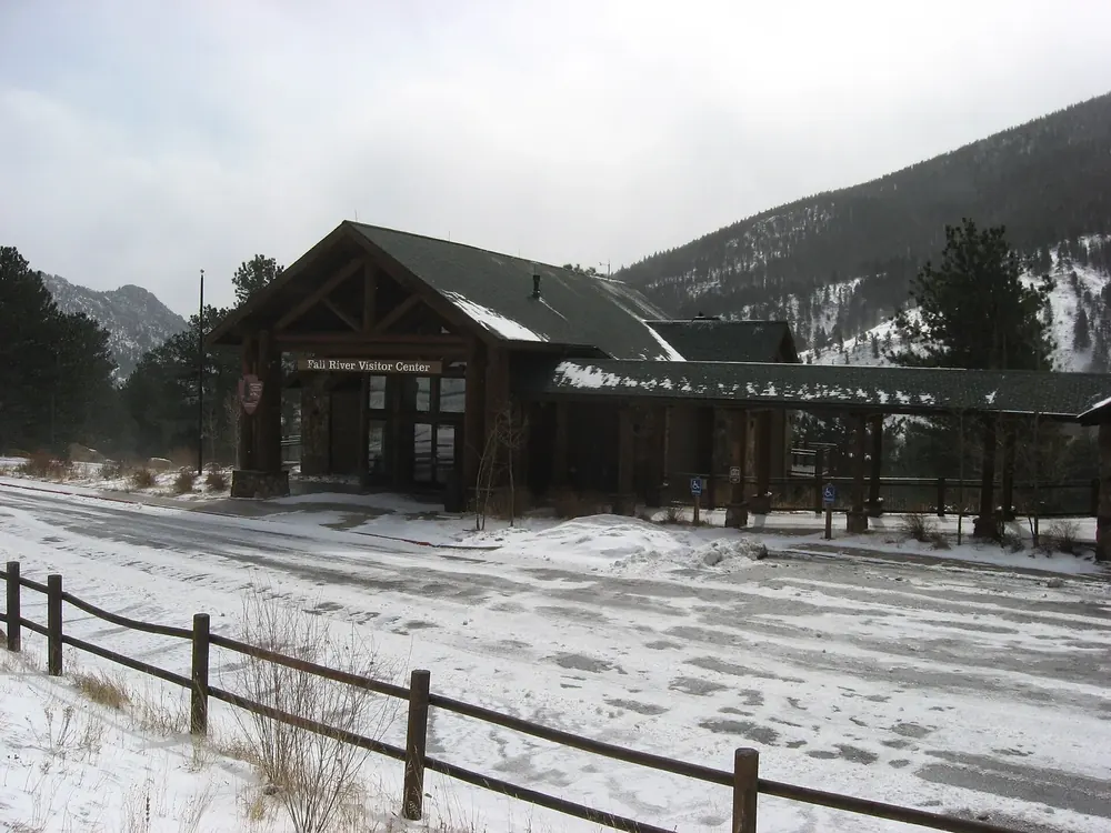
Fall River Visitor Center On US 34 just outside the Fall River entrance, the way in to Old Fall River Road and the Sheep Lakes.
Add to your Rocky Mountain visit Open in OpenStreetMap ↗ Location source ↗
40.40181, -105.58644
All places Photo: Andrew Parlette ↗ · CC BY 2.0 ↗
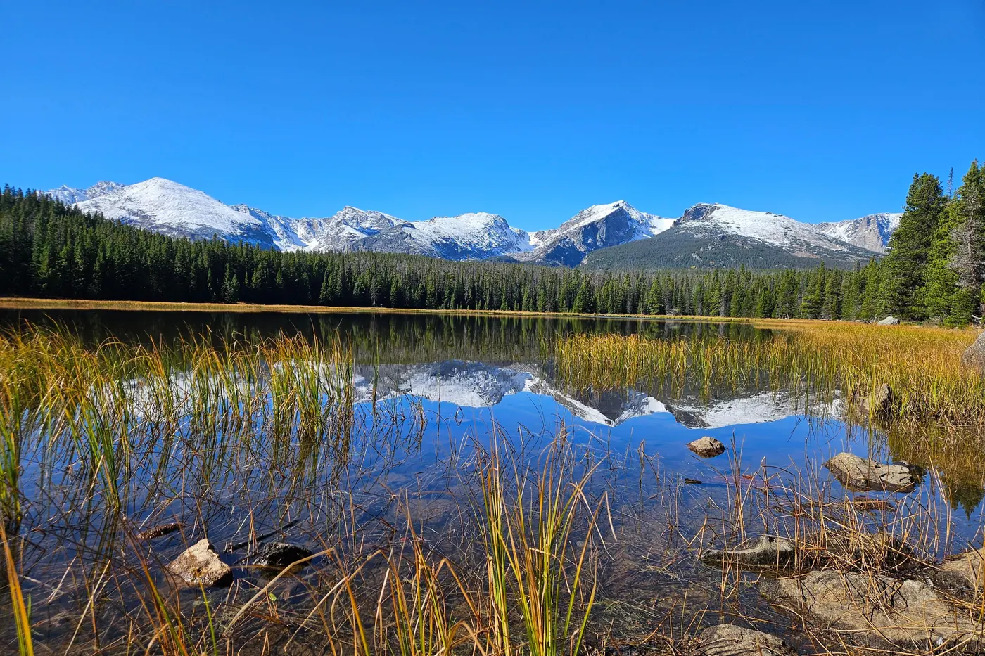
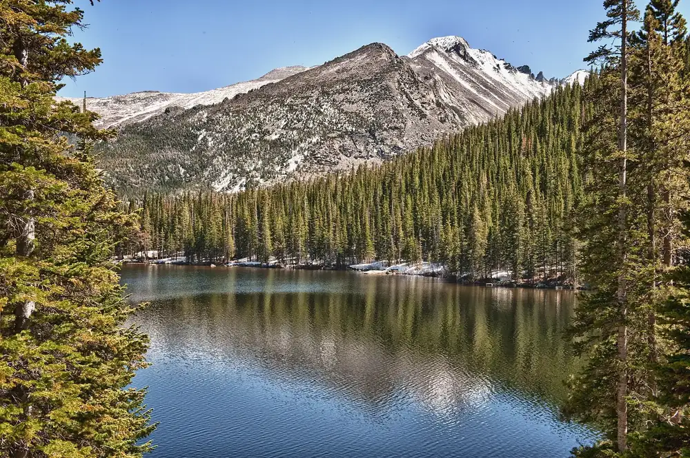
Bear Lake At 9,475 ft (2,888 m) at the end of Bear Lake Road. On many days the car park is full by 9:00.
The busiest part of the park, and the only one with its own permit.
Own permit 5:00 to 18:00
Bear Lake car park often full by 9:00
Glacier Gorge fills even earlier
Bear Lake 9,475 ft, 2,888 m
Bear Lake shuttle 6:30 to 19:30
Frequency every 10 to 15 minutes
Moraine Park shuttle 7:00 to 19:30, hourly
Re-entry only from 14:00 Add to your Rocky Mountain visit Open in OpenStreetMap ↗ Location source ↗
40.31319, -105.64839
All places Photo: Nicolas Henderson from Coppell, Texas ↗ · CC BY 2.0 ↗
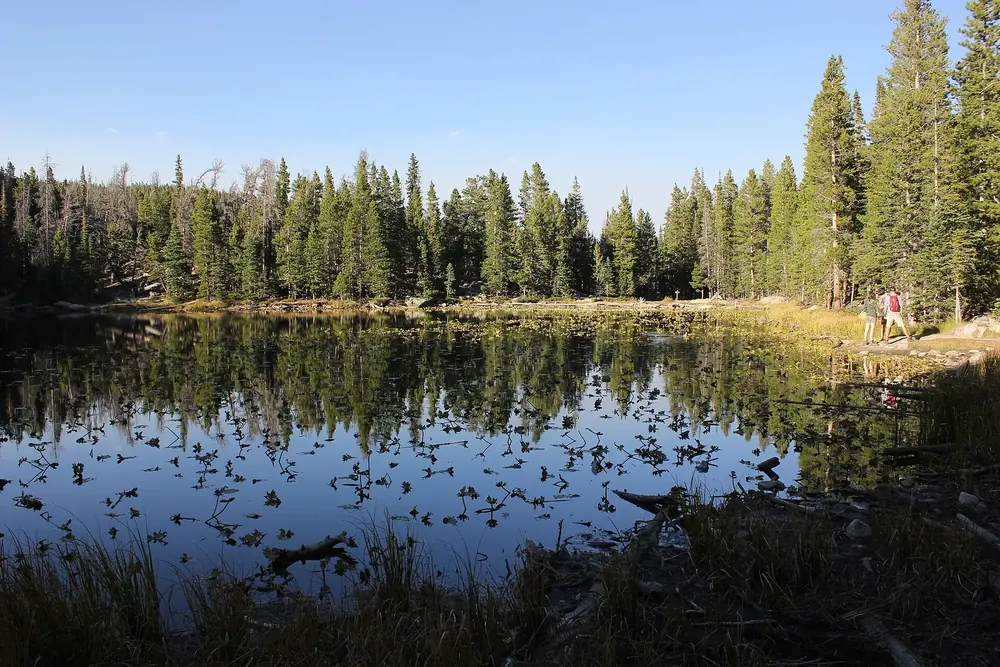
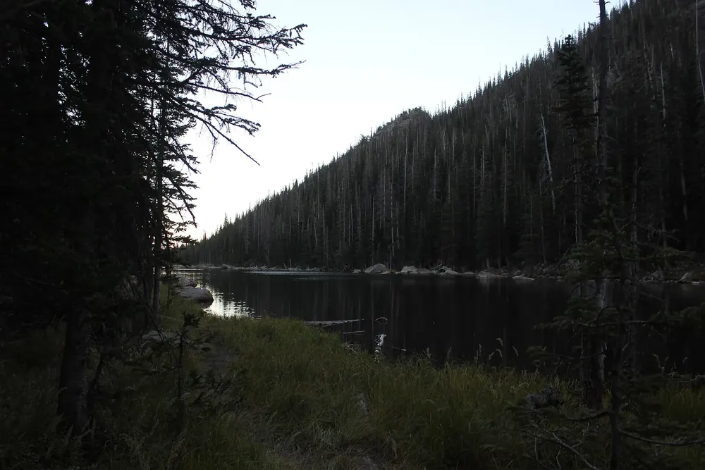
Nymph Lake The first of the three lakes above Bear Lake, reached after just under a kilometre (0.6 mi). Covered in water lilies in summer.
Add to your Rocky Mountain visit Open in OpenStreetMap ↗ Location source ↗
40.31000, -105.65136
All places Photo: Nicolas Henderson from Coppell, Texas ↗ · CC BY 2.0 ↗
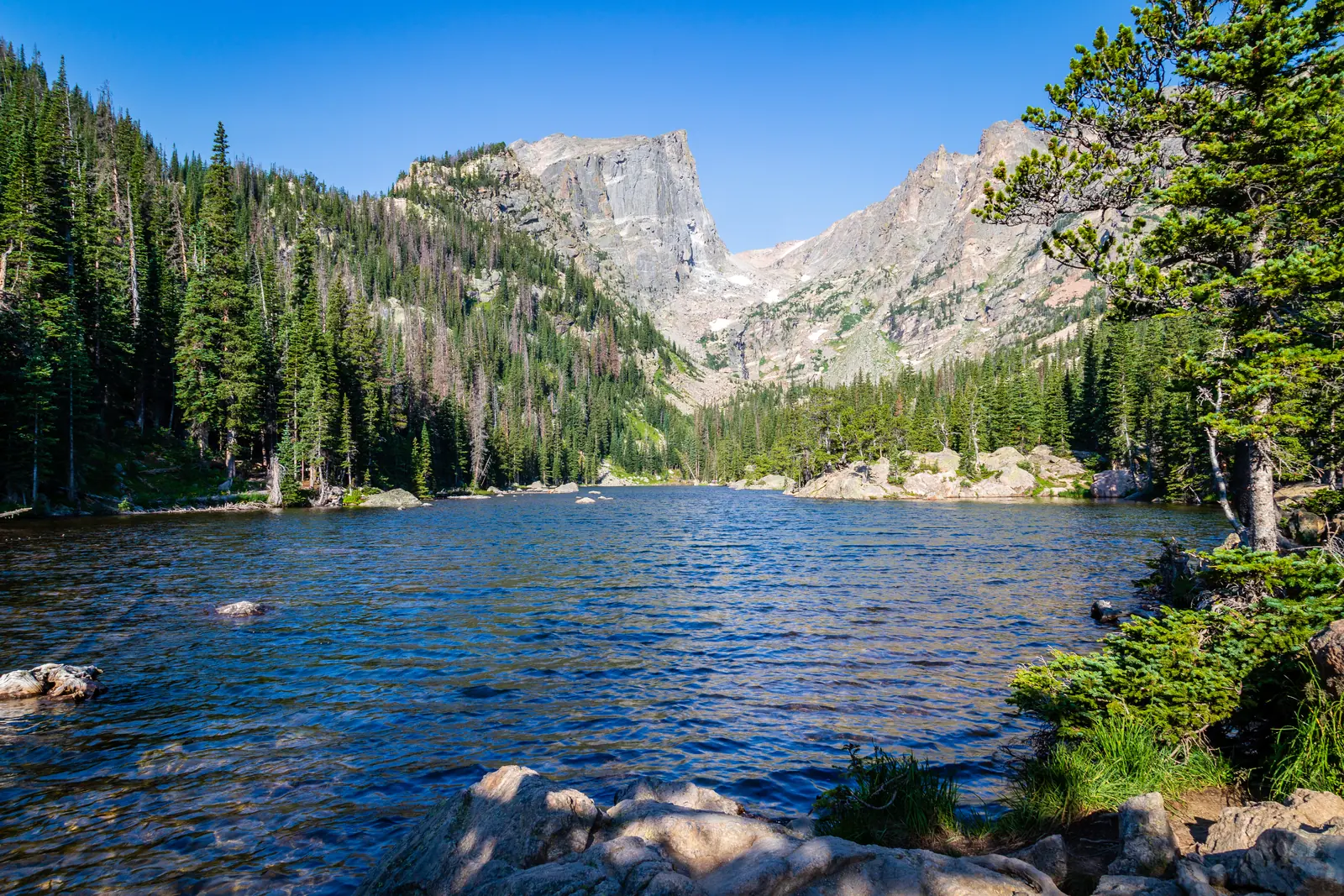
Dream Lake The most photographed lake in the park: Hallett Peak and Flattop Mountain rise directly behind it.
Add to your Rocky Mountain visit Open in OpenStreetMap ↗ Location source ↗
40.30937, -105.65904
All places Photo: dmtilley ↗ · CC BY 3.0 ↗
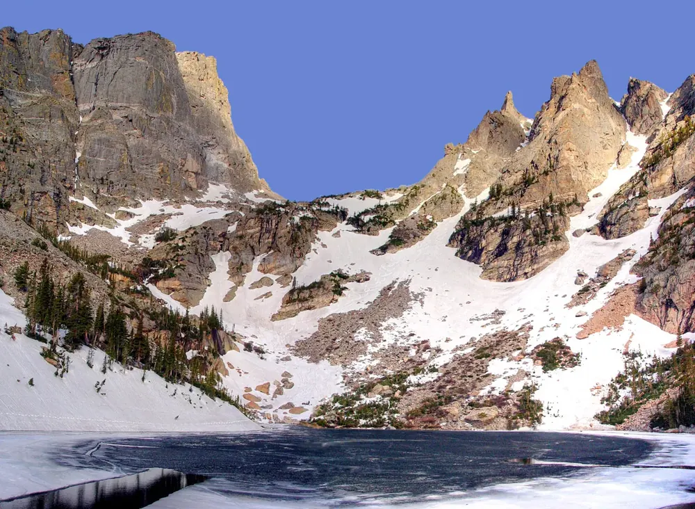
Emerald Lake The last lake in the chain above Bear Lake, enclosed by the walls of Hallett Peak and Flattop Mountain.
Add to your Rocky Mountain visit Open in OpenStreetMap ↗ Location source ↗
40.30971, -105.66822
All places Photo: Christian Collins ↗ · CC BY-SA 2.0 ↗
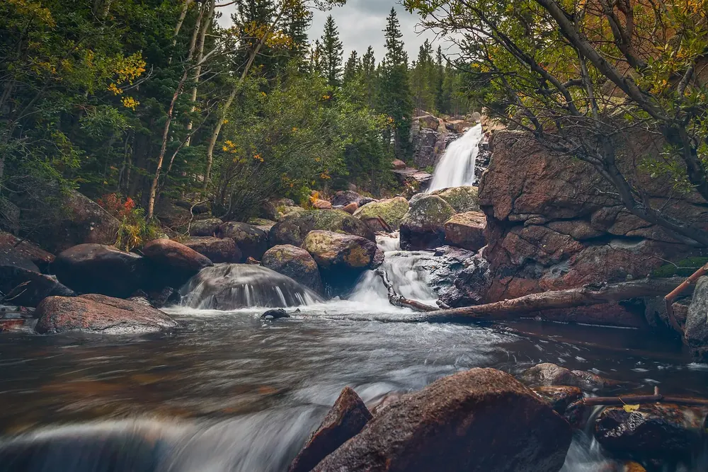
Alberta Falls A short, very busy walk from the Glacier Gorge Trailhead, whose car park fills early in the day.
Add to your Rocky Mountain visit Open in OpenStreetMap ↗ Location source ↗
40.30367, -105.63803
All places Photo: Айрат Хайруллин ↗ · CC BY 3.0 ↗
Mills Lake Further up Glacier Gorge, with a view of Longs Peak and the Keyboard of the Winds.
Add to your Rocky Mountain visit Open in OpenStreetMap ↗ Location source ↗
40.28981, -105.64183
All places Photo: Christian Collins ↗ · CC BY-SA 2.0 ↗
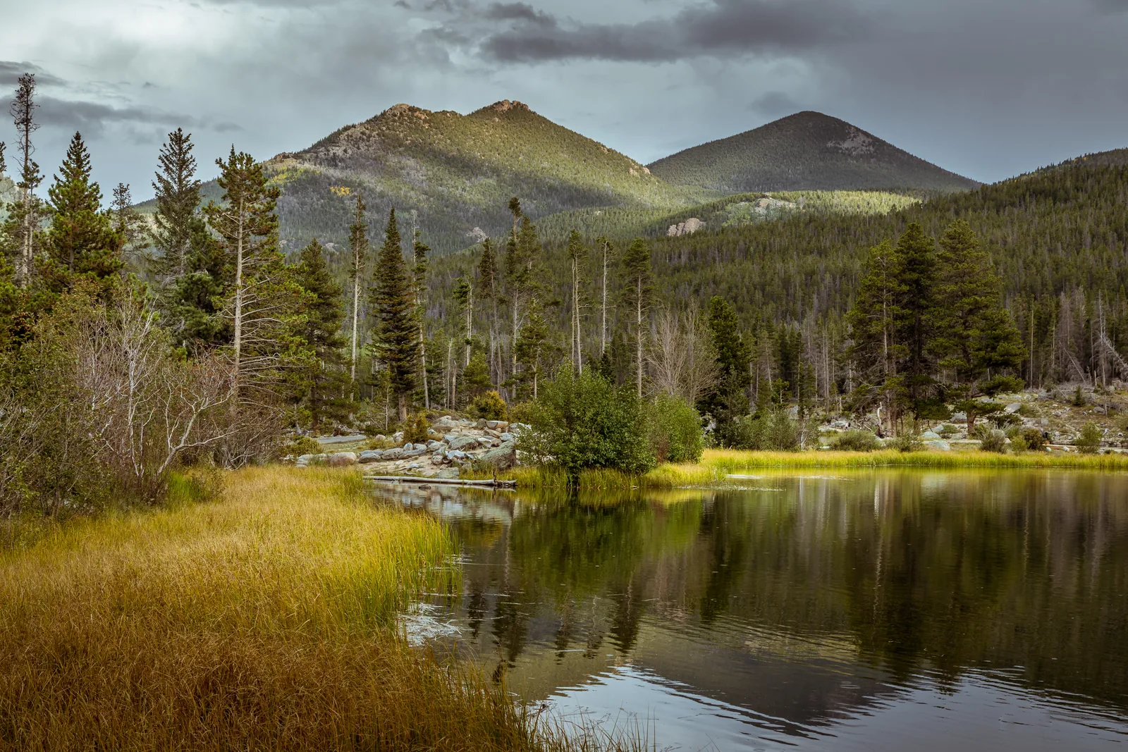
Sprague Lake A half-hour, largely level loop with the Continental Divide reflected in the water: the most accessible spot in the whole corridor.
The spot in the Bear Lake Road corridor that asks the least of you.
Loop about 1.2 km (0.75 mi), largely level
Time about half an hour
Location Bear Lake Road, 8,700 ft
Access own shuttle stop
View Continental Divide, reflected
Permit Bear Lake Road corridor, 5:00 to 18:00 Add to your Rocky Mountain visit Open in OpenStreetMap ↗ Location source ↗
40.32021, -105.60478
All places Photo: Wildernest42 ↗ · CC BY-SA 4.0 ↗
Longs Peak 14,259 ft (4,346 m), the only fourteener in the park. The Keyhole Route is a scramble, not a hike.
The park's only fourteener. And the place where the park authority is most direct.
Elevation 14,259 ft, 4,346 m
Distance 15 mi round trip, 24 km
Time 10 to 15 hours
One way to the summit 7.5 mi (12.1 km)
Character scrambling on all fours
Hazards rockfall, loose rock, narrow ledges
Weather storms, freezing temperatures, snow, lightning
Campground 2 July to 8 September, $30 Add to your Rocky Mountain visit Open in OpenStreetMap ↗ Location source ↗
40.25489, -105.61523
All places
Chasm Lake Directly below the Diamond, the 300 m (985 ft) sheer east face of Longs Peak. The goal for everyone who is not attempting the summit.
Add to your Rocky Mountain visit Open in OpenStreetMap ↗ Location source ↗
40.25852, -105.60504
All places Photo: Dough4872 ↗ · CC BY-SA 4.0 ↗
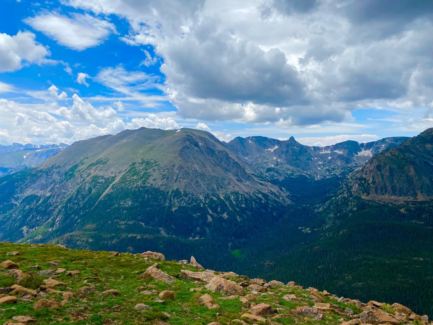
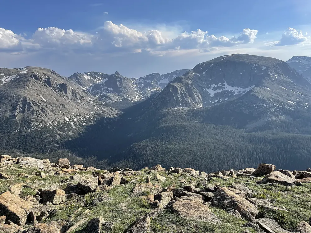
Forest Canyon Overlook A view into a glacial valley 800 m (2,600 ft) deep. The short path out here is paved; the tundra next to it is closed.
Add to your Rocky Mountain visit Open in OpenStreetMap ↗ Location source ↗
40.39581, -105.71395
All places Photo: Dariusz Kowalczyk ↗ · CC BY-SA 3.0 ↗
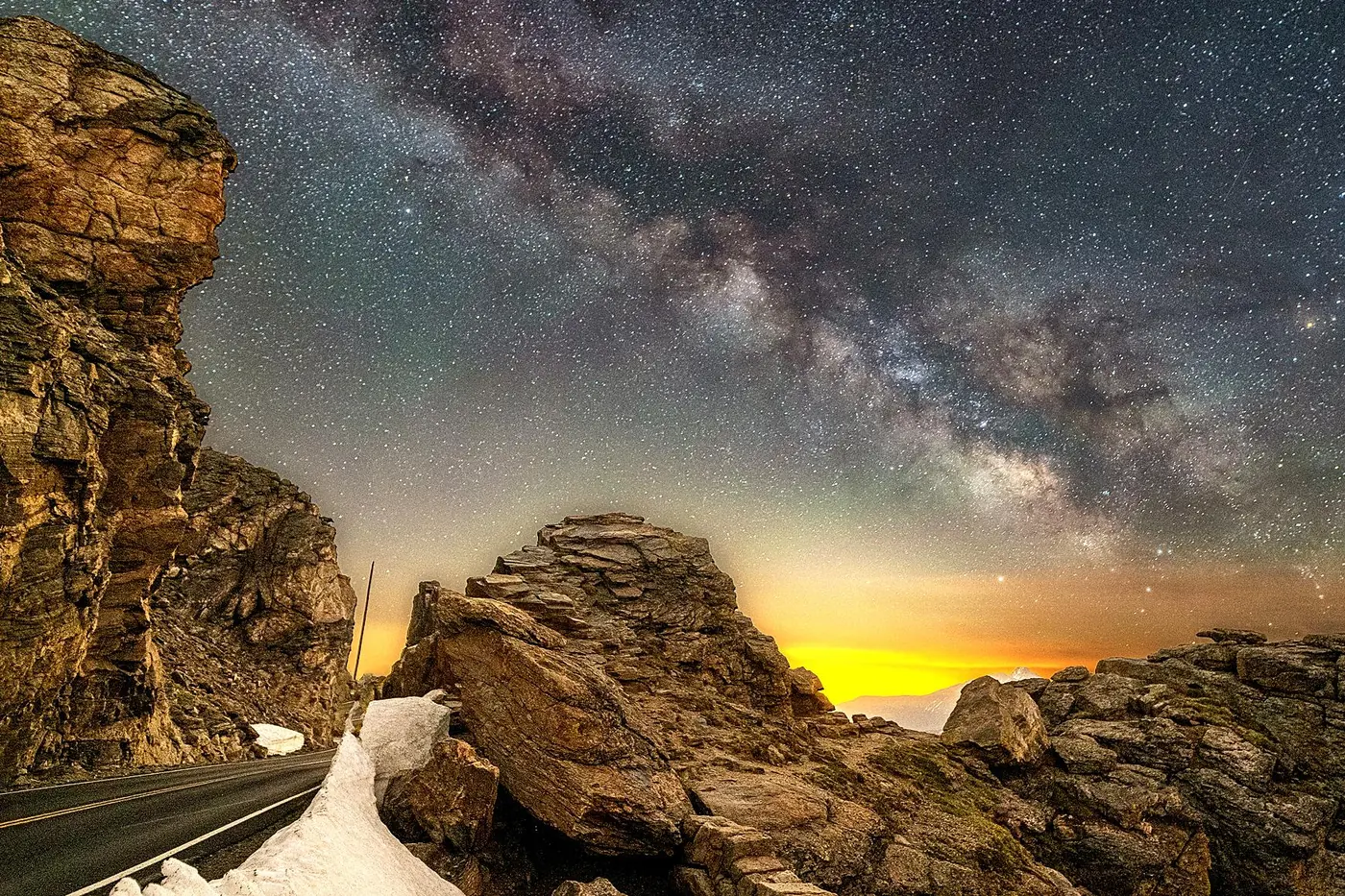
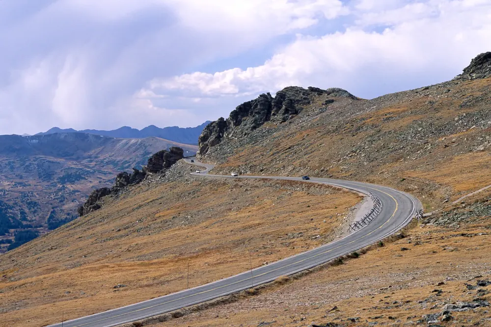
Rock Cut The highest stop on Trail Ridge Road with a trailhead; from here the Tundra Communities Trail crosses the high plateau.
Add to your Rocky Mountain visit Open in OpenStreetMap ↗ Location source ↗
40.41208, -105.73320
All places Photo: Thomson M ↗ · CC BY 3.0 ↗
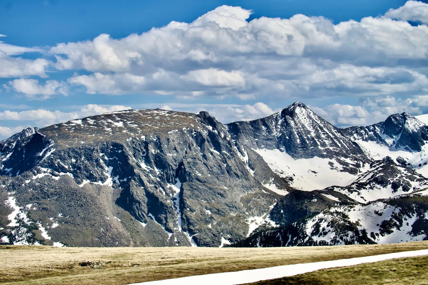
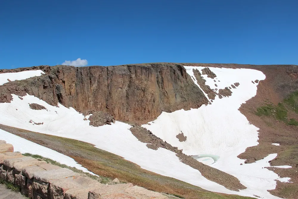
Lava Cliffs A wall of welded volcanic tuff above a glacial cirque, just before the Alpine Visitor Center.
Add to your Rocky Mountain visit Open in OpenStreetMap ↗ Location source ↗
40.42475, -105.75344
All places Photo: Sayamindu Dasgupta from Cambridge, MA, United States ↗ · CC BY-SA 2.0 ↗
Milner Pass At 10,758 ft (3,279 m), Trail Ridge Road crosses the Continental Divide. Rain that falls here ends up either in the Atlantic or in the Pacific.
Add to your Rocky Mountain visit Open in OpenStreetMap ↗ Location source ↗
40.41996, -105.81214
All places Surroundings Photo: Kenraiz ↗ · CC BY-SA 4.0 ↗
Sheep Lakes In early summer, bighorn sheep come down from the heights to take in minerals here. Rangers then manage the traffic.
Add to your Rocky Mountain visit Open in OpenStreetMap ↗ Location source ↗
40.40388, -105.62052
All places Photo: Frank Schulenburg ↗ · CC BY-SA 4.0 ↗
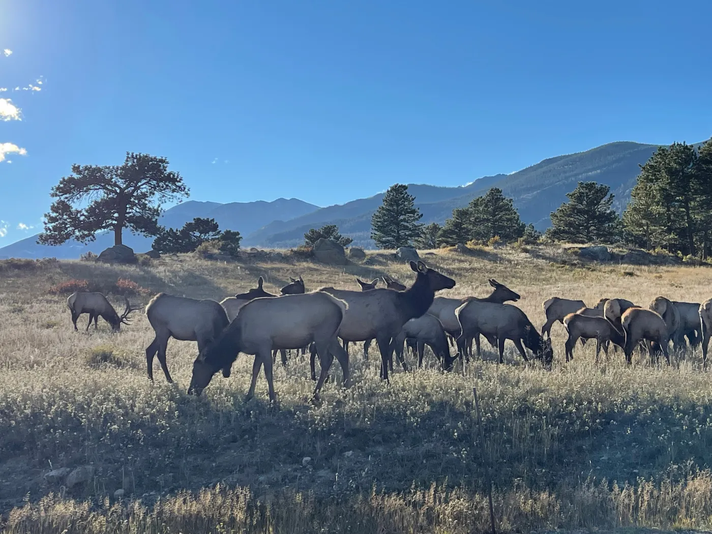
Moraine Park The wide meadow of a former glacial valley, the main rutting ground in autumn, and closed in the evenings from 1 September to 31 October.
Add to your Rocky Mountain visit Open in OpenStreetMap ↗ Location source ↗
40.35373, -105.59724