


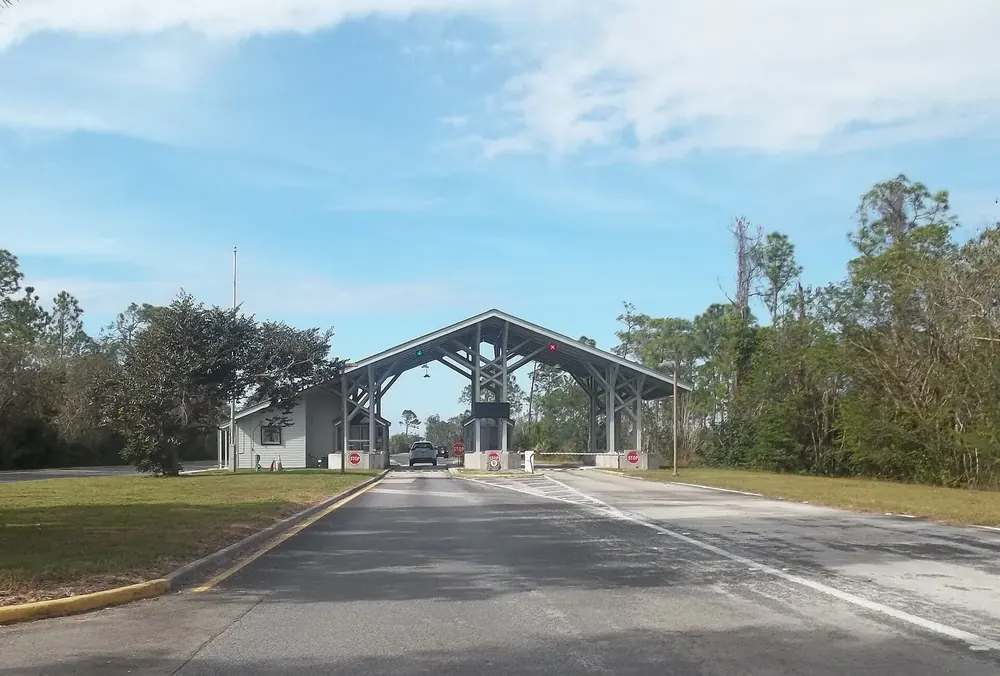
Arrival · Main entrance
Homestead Entrance
Open 24 hours. From here the road leads past Royal Palm to Flamingo.
Open in OpenStreetMap ↗Location source ↗
25.39456, -80.59007

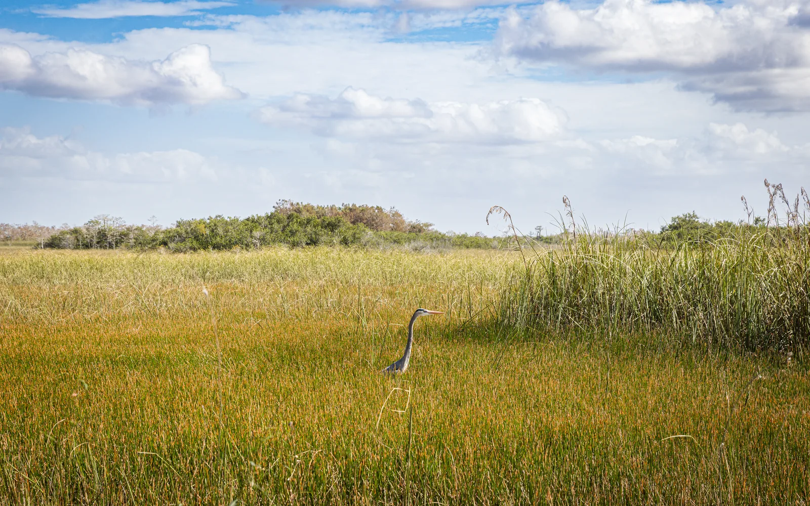
22 places with verified coordinates · 19 with photo
Day tour · from Homestead or Miami · GetYourGuide
From Homestead or Miami: hikes and kayaking to Flamingo ↗3 reviews on GetYourGuidefrom €253.18as of 4 Oct
Pickup at your accommodation; GetYourGuide lists Homestead and Miami as pickup areas, with return there.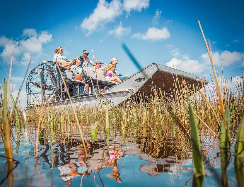
Airboat · authorised · GetYourGuide
Airboat tour and wildlife show at Gator Park ↗8,028 reviews on GetYourGuidefrom €28.42as of 4 Oct
Start on the map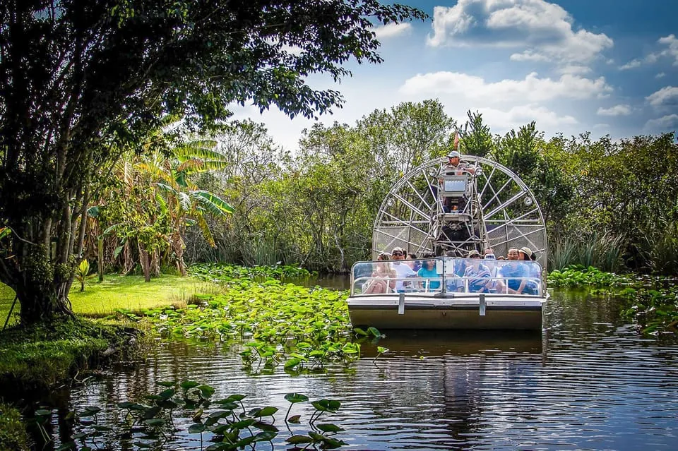
Airboat · authorised · GetYourGuide
Airboat tour at Everglades Safari Park ↗1,375 reviews on GetYourGuidefrom €36.42as of 4 Oct
Start on the map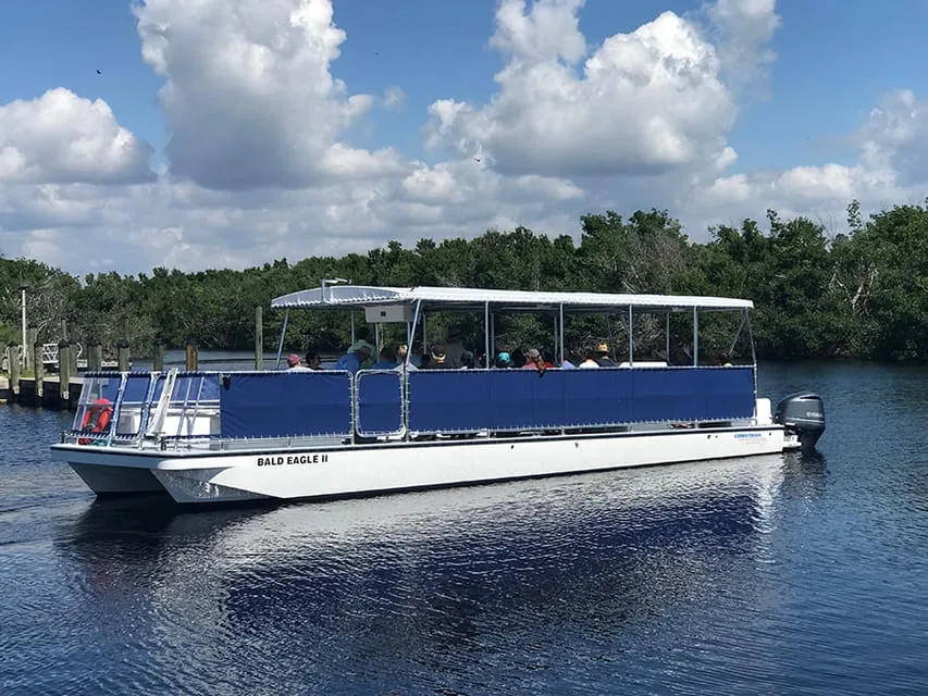
Boat tour · 90 minutes · GetYourGuide
Backcountry boat tour from Flamingo ↗47 reviews on GetYourGuidefrom €42.64as of 4 Oct
Report to the Activities Booth at Flamingo marina 15 minutes before departure.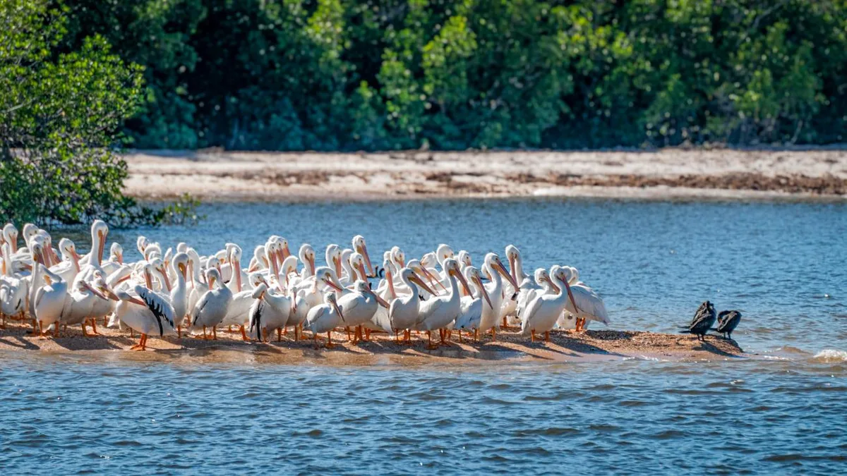
Boat tour · Gulf Coast · GetYourGuide
Pontoon boat through the Ten Thousand Islands ↗50 reviews on GetYourGuidefrom €53.73as of 4 Oct
Check in on the second floor of the Marjory Stoneman Douglas Visitor Center in Everglades City.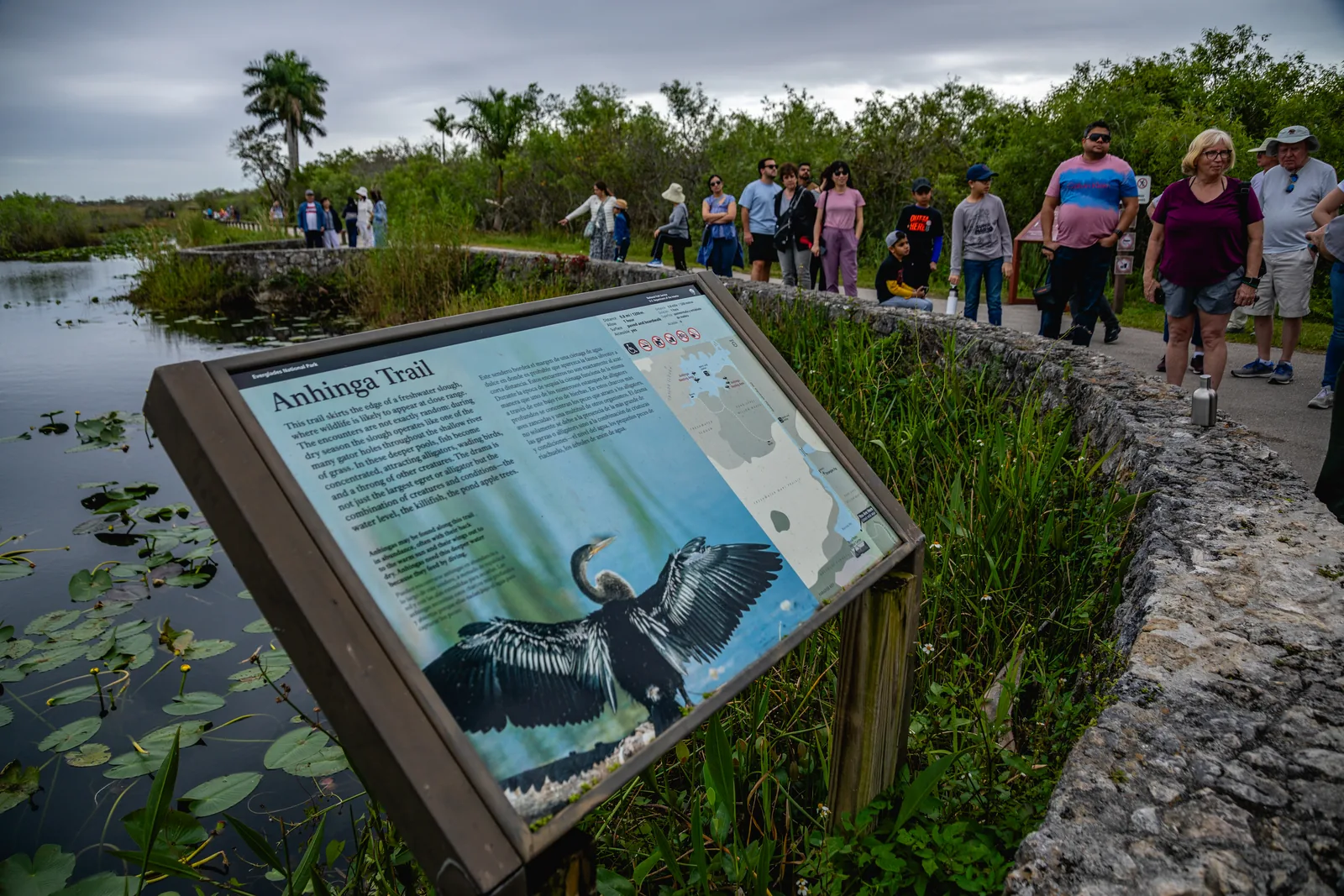
Ranger programme · free of charge · Everglades National Park (National Park Service)
Ranger evening and night programmes ↗Varying places in the park; the meeting point is given with each date in the park calendar or at the visitor centre.Ad · partner links: we may earn a commission if you book – at no extra cost to you. Thank you for supporting the atlas. Offer details checked 2 Oct 2026; dates and prices with the provider.
Arrival · Main entrance
Open 24 hours. From here the road leads past Royal Palm to Flamingo.
Open in OpenStreetMap ↗Location source ↗
25.39456, -80.59007
 Surroundings
Arrival · Visitor centre
Main visitor centre at the Homestead Entrance; in front stands the only animal statue in the park, a Florida panther.
Open in OpenStreetMap ↗Location source ↗
25.39526, -80.58310
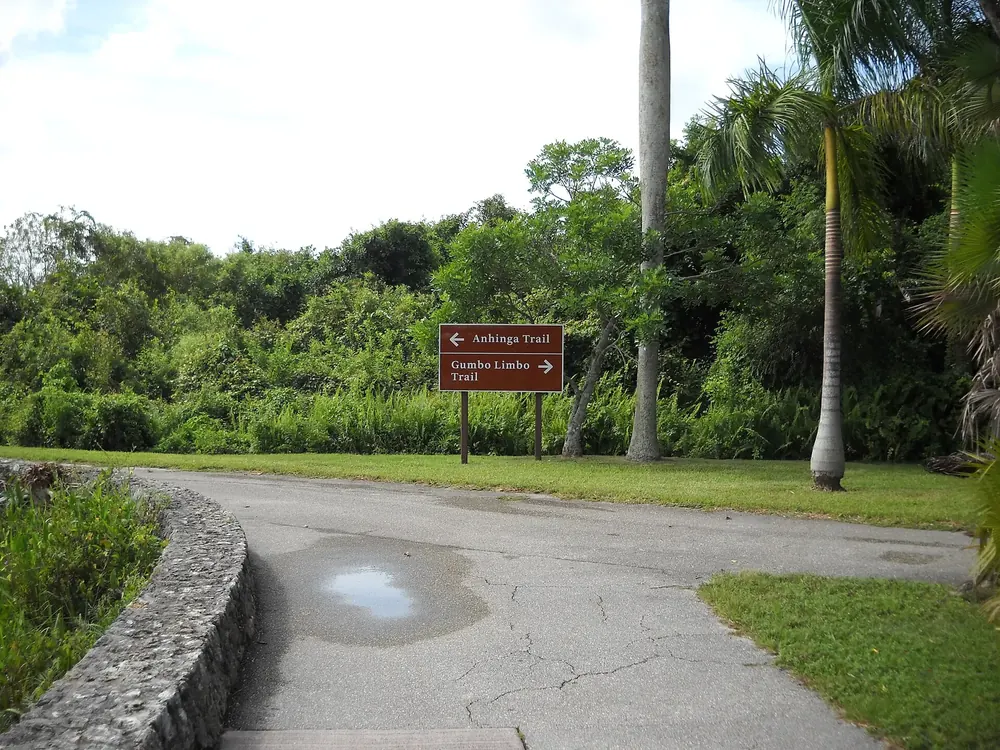
Arrival · Visitor centre and trails
Start of the Anhinga and Gumbo Limbo trails, both wheelchair accessible.
Open in OpenStreetMap ↗Location source ↗
25.38251, -80.60960
Trails · Boardwalk
The best-known trail in the park, paved and on boardwalks over the marsh.
The best-known trail in the park: short, wheelchair accessible and often full of wildlife.
Open in OpenStreetMap ↗Location source ↗
25.38232, -80.60941
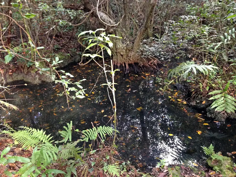
Trails · Forest trail
Short loop through tropical hardwood forest, right next to the Anhinga Trail.
Open in OpenStreetMap ↗Location source ↗
25.38203, -80.60959
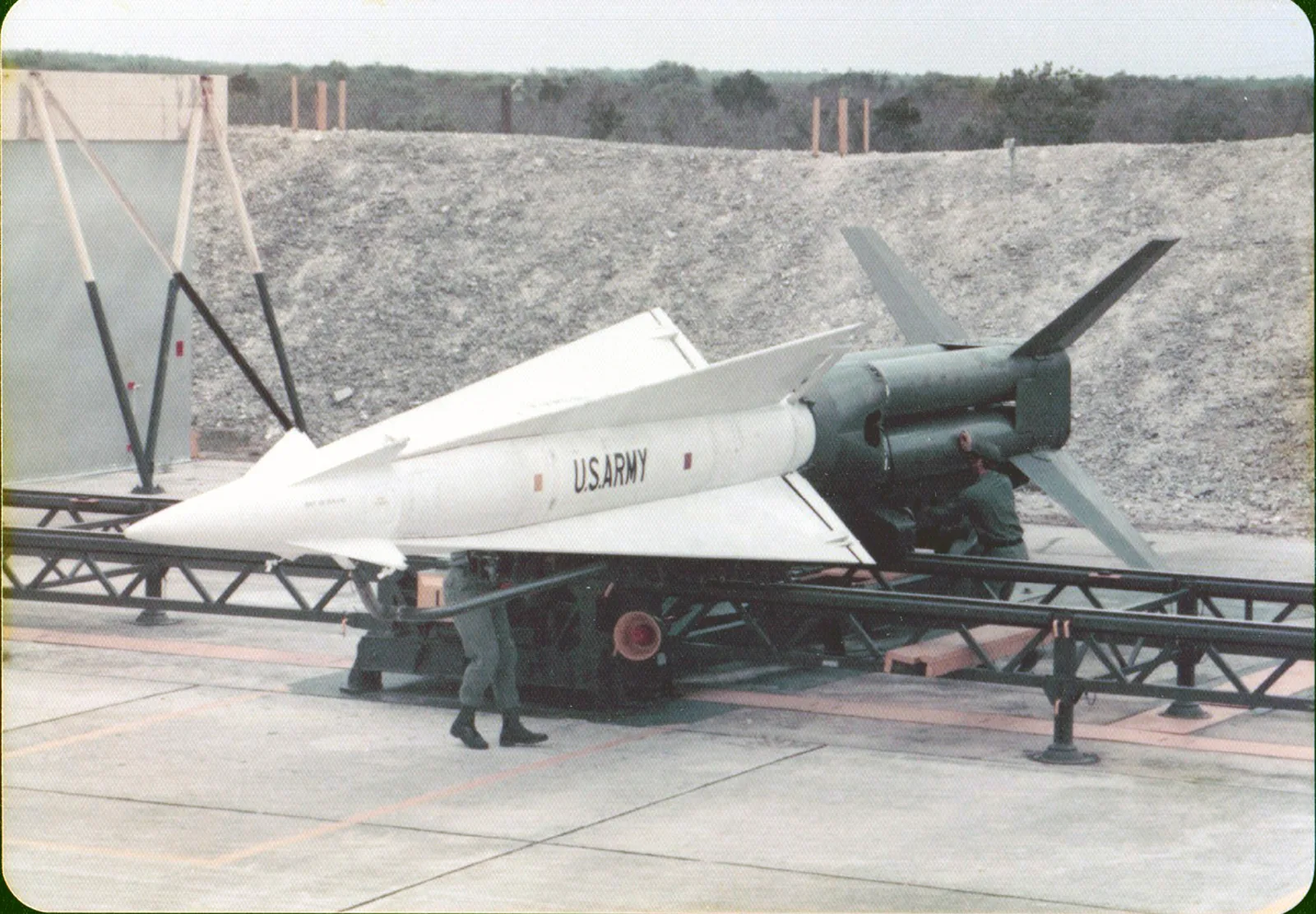
History · Historic site
Meeting point for the guided tours. Visits usually December to March, 10:00 to 14:00.
A relic of the Cuban Missile Crisis that looks as if the army left it yesterday.
Open in OpenStreetMap ↗Location source ↗
25.38938, -80.68319
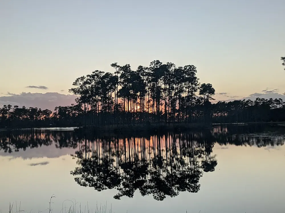
Where to stay · Campground
108 sites, first come, first served.
Open in OpenStreetMap ↗Location source ↗
25.39879, -80.65504
Trails · Forest trail
650 metres (0.4 mi) through pines and palmettos, 11 kilometres (7 mi) past the entrance.
Open in OpenStreetMap ↗Location source ↗
25.42446, -80.67976
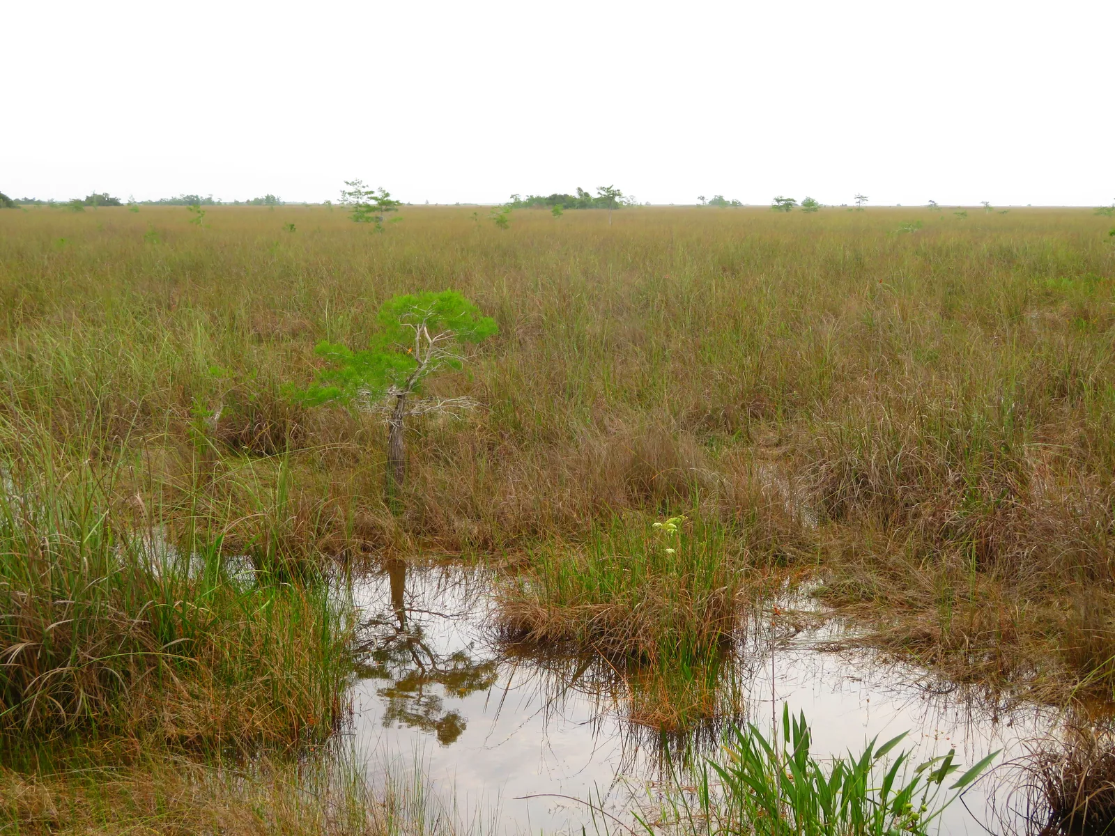
Viewpoint · Viewing platform
Platform above the open sawgrass; open again according to the park authority.
A platform above the open sawgrass: this is where the "river of grass" becomes visible.
Open in OpenStreetMap ↗Location source ↗
25.44164, -80.78395
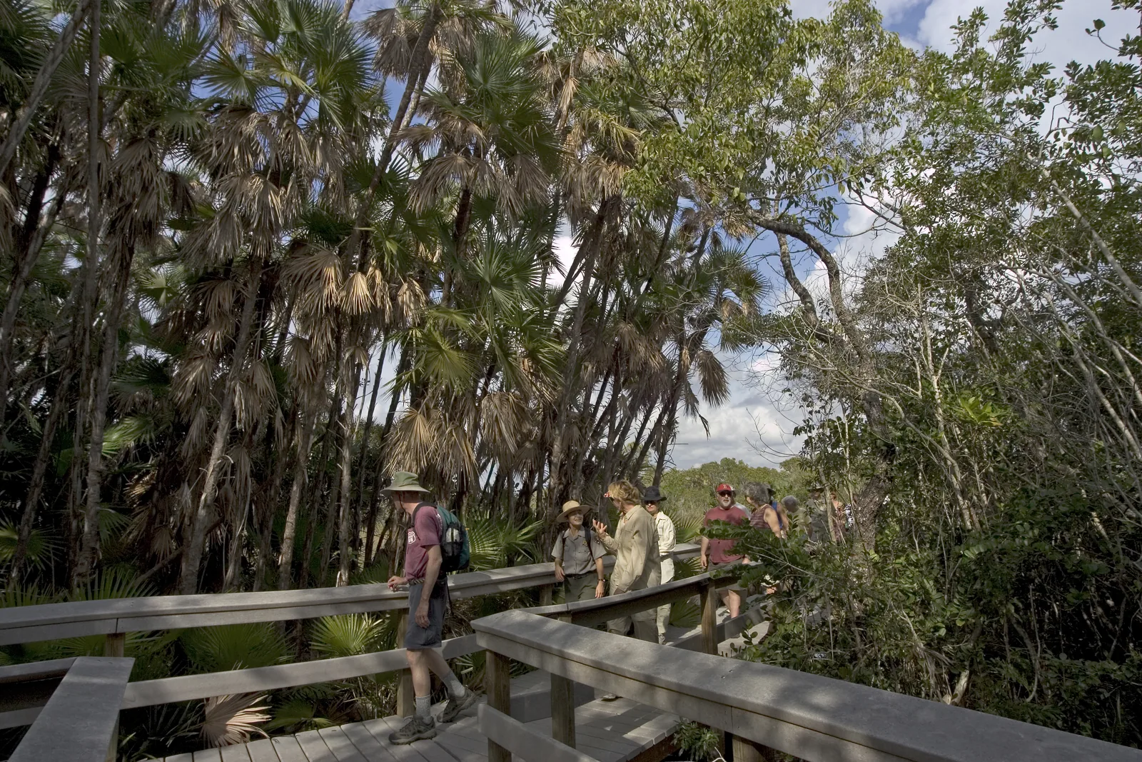
Trails · Boardwalk
An 800-metre (0.5 mi) boardwalk through a dense hardwood hammock with the largest living mahogany tree in the United States.
A boardwalk through a dense hardwood hammock in the middle of the sawgrass, with the largest living mahogany tree in the United States.
Open in OpenStreetMap ↗Location source ↗
25.32206, -80.83368
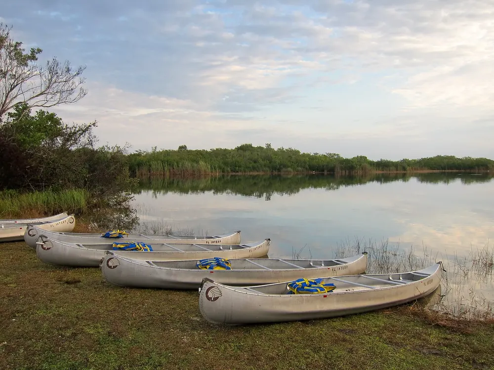
Trails · Canoe trail
Start of a canoe trail; also the boundary between freshwater and saltwater fishing.
Open in OpenStreetMap ↗Location source ↗
25.25404, -80.79607
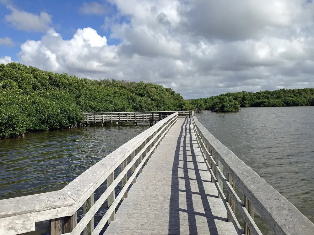
Trails · Boardwalk
Boardwalk through mangroves on the way to Flamingo.
Open in OpenStreetMap ↗Location source ↗
25.21291, -80.85133
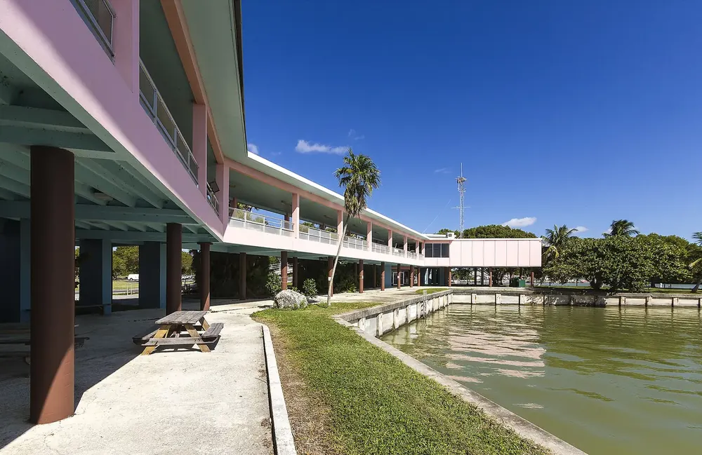
Arrival · Flamingo visitor centre
At the end of the road: marina, boat tours, rentals, lodge and restaurant.
Open in OpenStreetMap ↗Location source ↗
25.14119, -80.92396
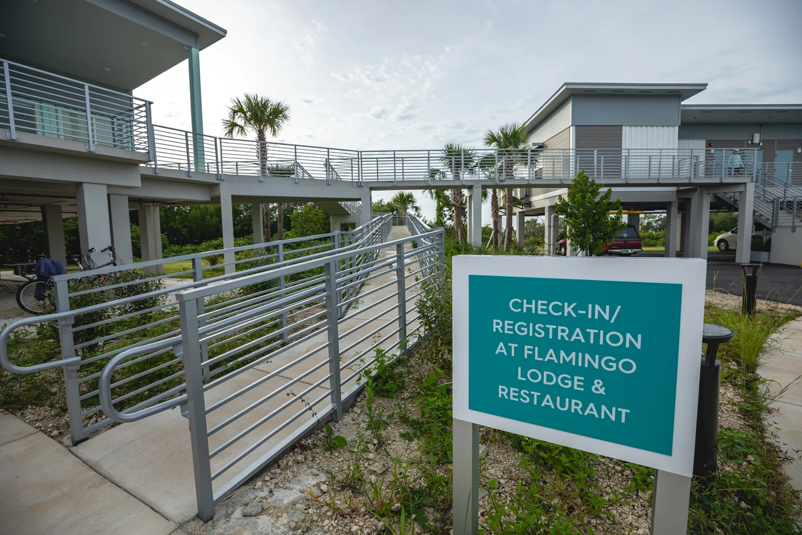
Where to stay · Campground
234 sites, open all year; some can be reserved in winter.
The end of the road: marina, lodge, and boat tours into Florida Bay and the backcountry.
Open in OpenStreetMap ↗Location source ↗
25.13741, -80.93868
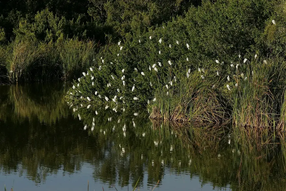
Water · Pond
Pond next to the Flamingo campground, on one of the short trails.
Open in OpenStreetMap ↗Location source ↗
25.14006, -80.93825
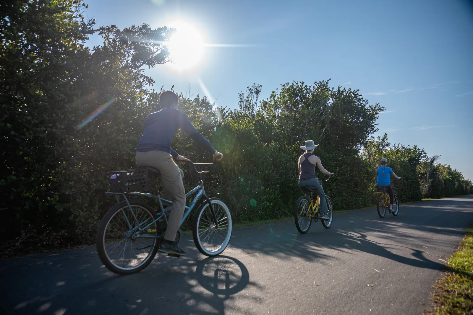
Arrival · Visitor centre
Start of the 24-kilometre (15 mi) loop; gate open 8:30 to 18:00.
A 24-kilometre (15 mi) loop into the sawgrass, without a car: by tram, by bike or on foot.
Open in OpenStreetMap ↗Location source ↗
25.75694, -80.76538
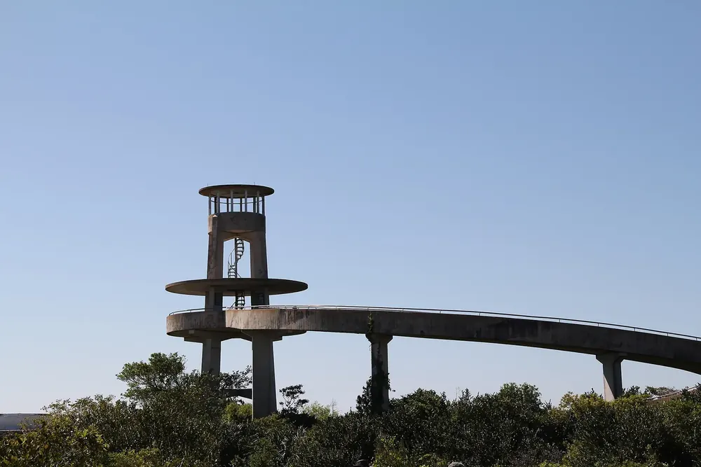
Viewpoint · Observation tower
Halfway round the loop, with drinking water.
Open in OpenStreetMap ↗Location source ↗
25.65608, -80.76643
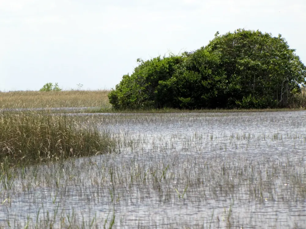
Nature · Airboat operator
One of the three authorised airboat operators, 22700 SW 8th Street.
Open in OpenStreetMap ↗Location source ↗
25.76066, -80.56089
Nature · Airboat operator
Authorised airboat operator, 24050 SW 8th Street.
Guided from here · Ad
Partner links: we may earn a commission if you book – at no extra cost to you. Thank you for supporting the atlas. Dates and prices with the provider.
Open in OpenStreetMap ↗Location source ↗
25.76069, -80.58120
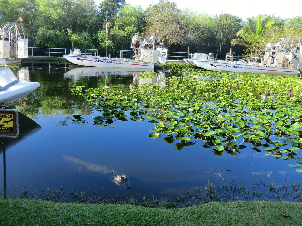
Nature · Airboat operator
Authorised airboat operator, 26700 SW 8th Street.
Guided from here · Ad
Partner links: we may earn a commission if you book – at no extra cost to you. Thank you for supporting the atlas. Dates and prices with the provider.
Open in OpenStreetMap ↗Location source ↗
25.75639, -80.62849
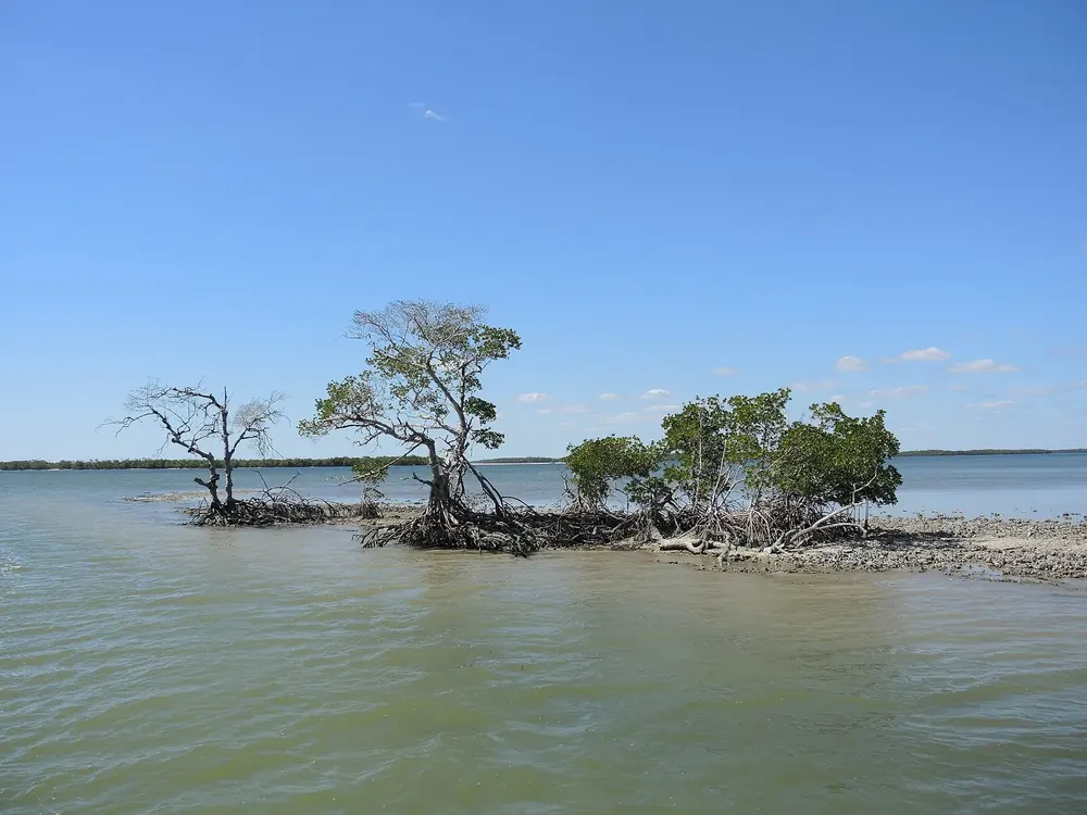 Surroundings
Arrival · Gulf Coast visitor centre
Site of the Marjory Stoneman Douglas Visitor Center, opened in 2026, with a kayak launch; no pass sales.
Open in OpenStreetMap ↗Location source ↗
25.84556, -81.38681
Water · Island
Only by canoe, kayak or boat; 1.4-kilometre (0.9 mi) trail.
Open in OpenStreetMap ↗Location source ↗
25.82176, -81.40205
Loading map …