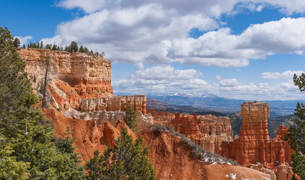
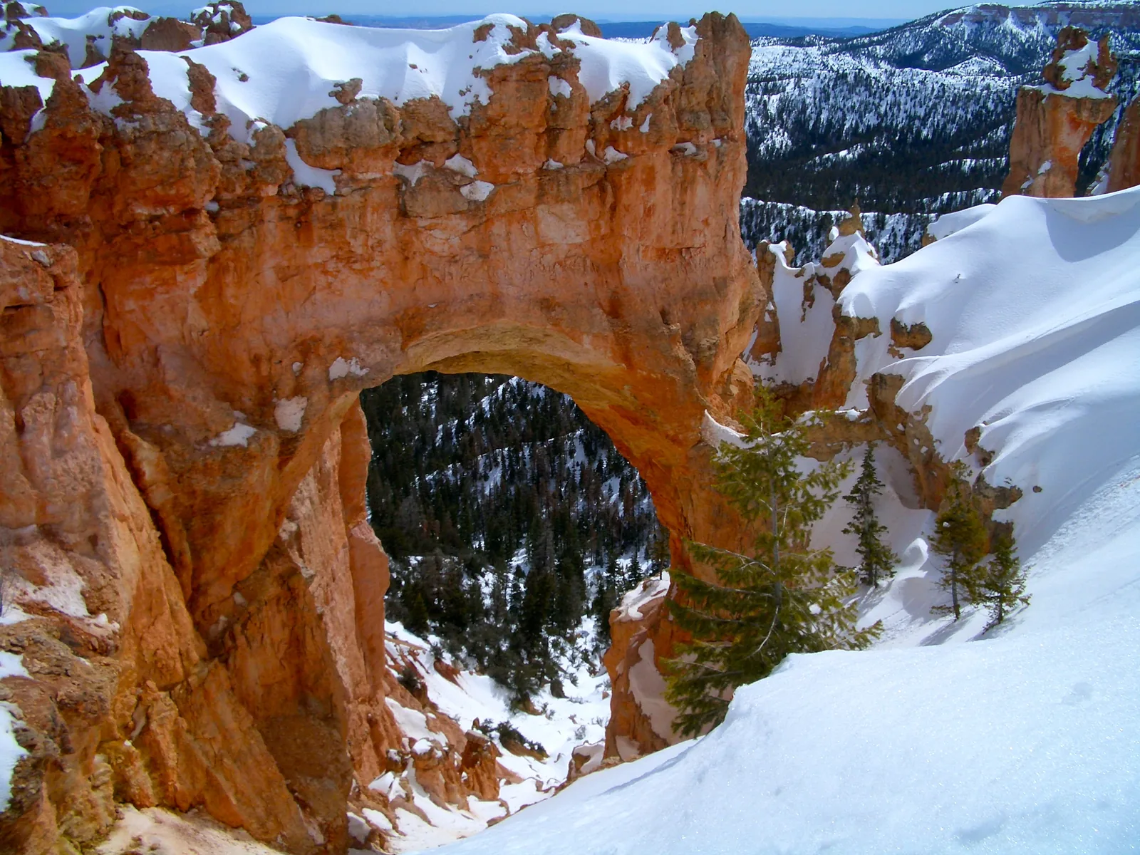
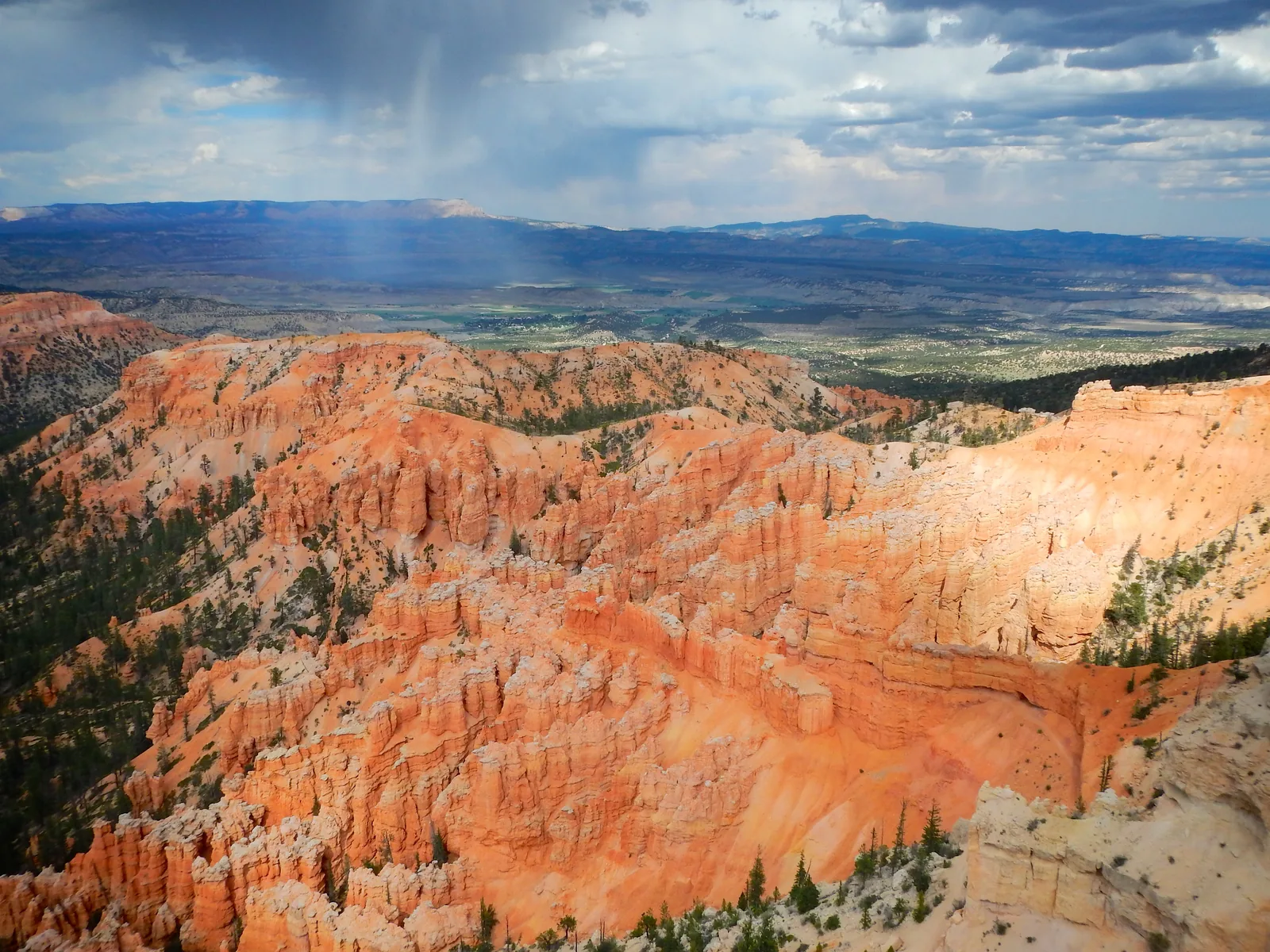
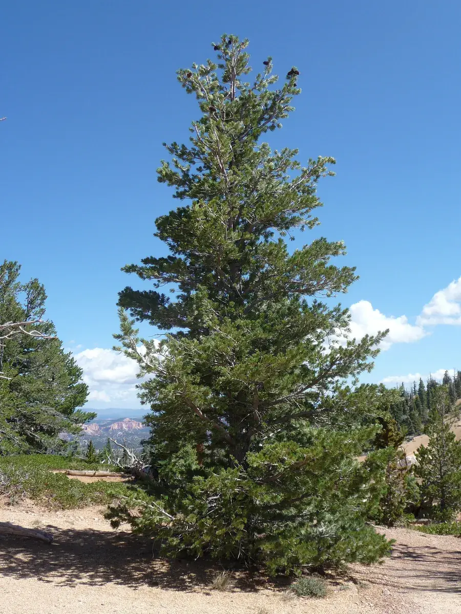
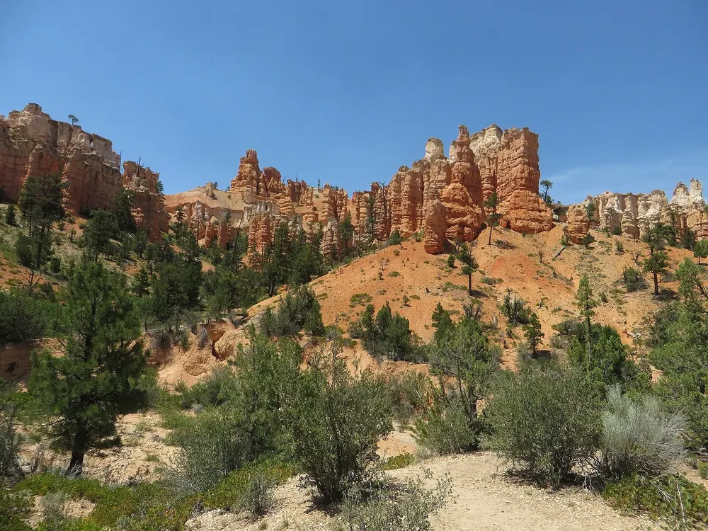
All places Photo: An Errant Knight ↗ · CC BY-SA 4.0 ↗
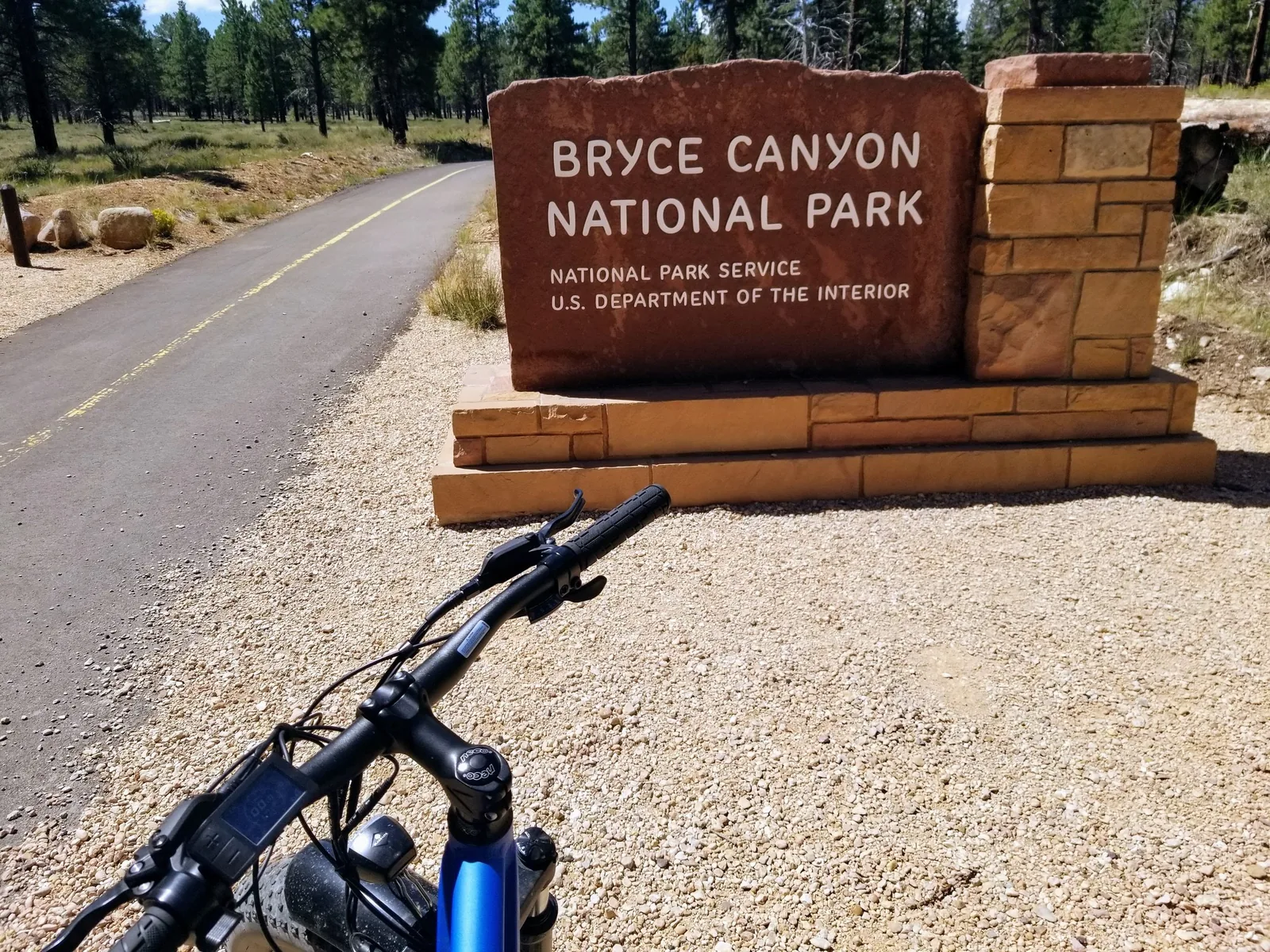
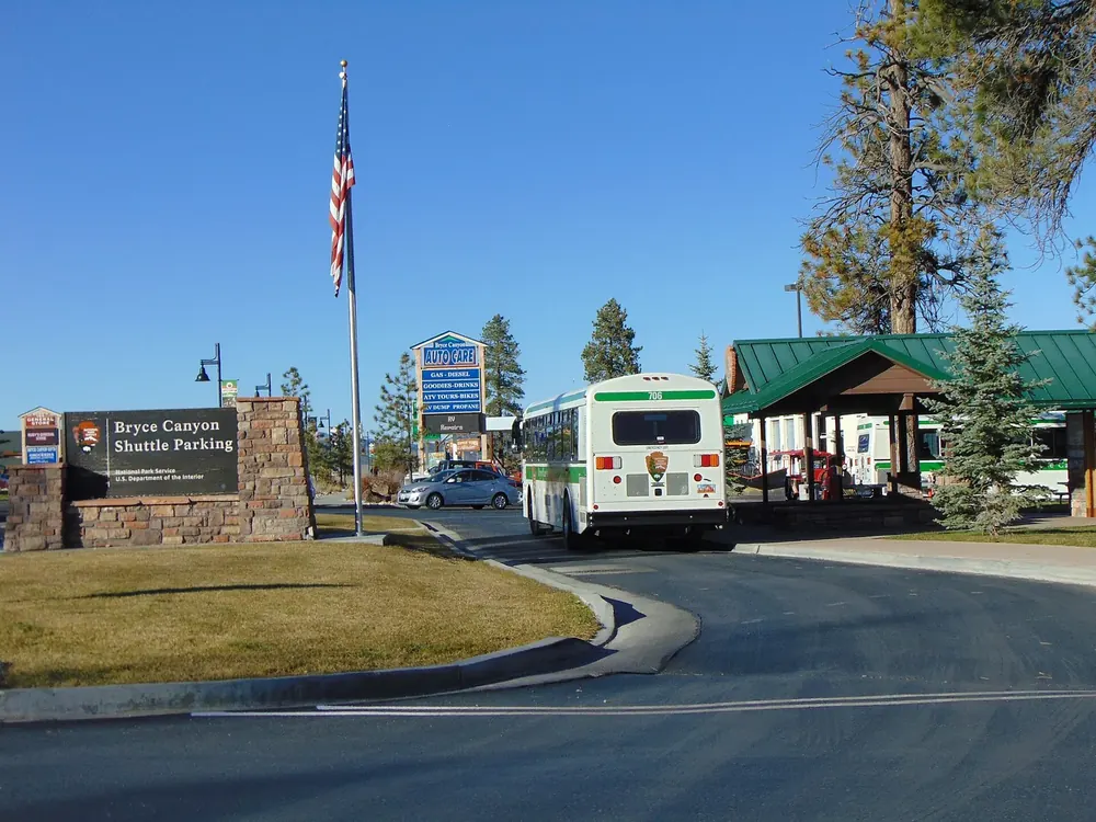
Shuttle Station Bryce Canyon City The park recommends leaving your car here: free all-day parking, entrance passes at the counter and a shorter queue. The shuttle runs into the park from here.
Add to your Bryce Canyon visit Open in OpenStreetMap ↗ Location source ↗
37.67104, -112.15689
All places Photo: Greg Willis from Denver, CO, usa ↗ · CC BY-SA 2.0 ↗
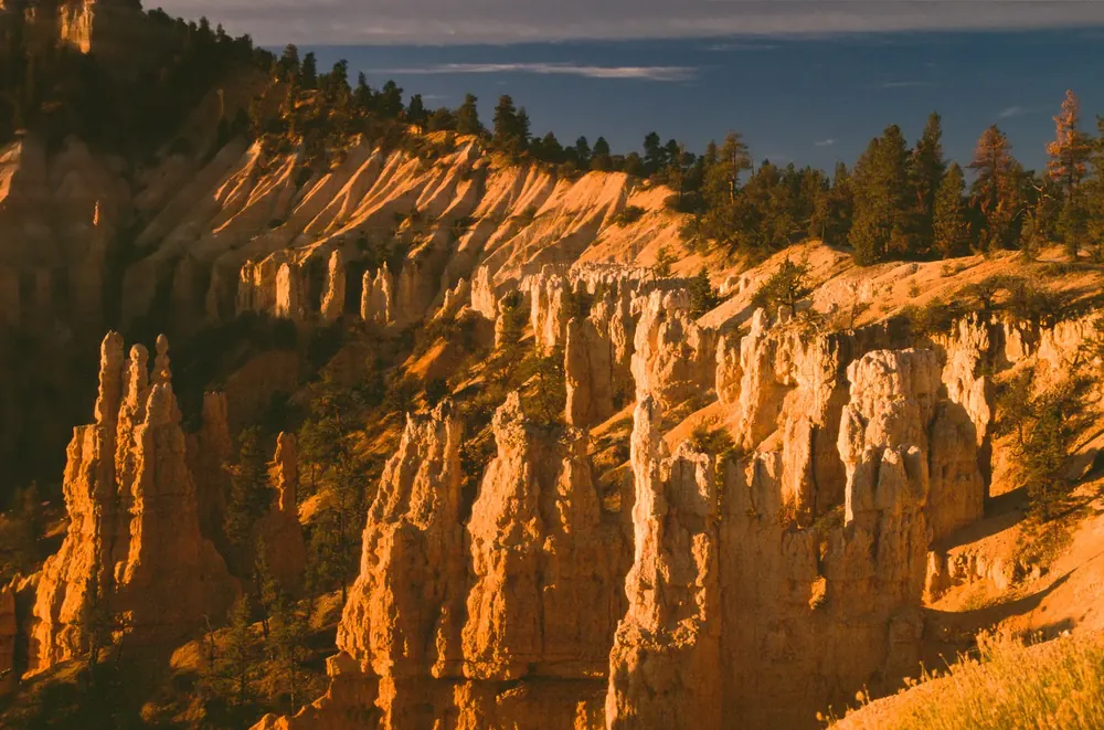
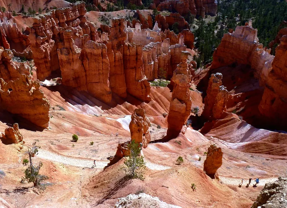
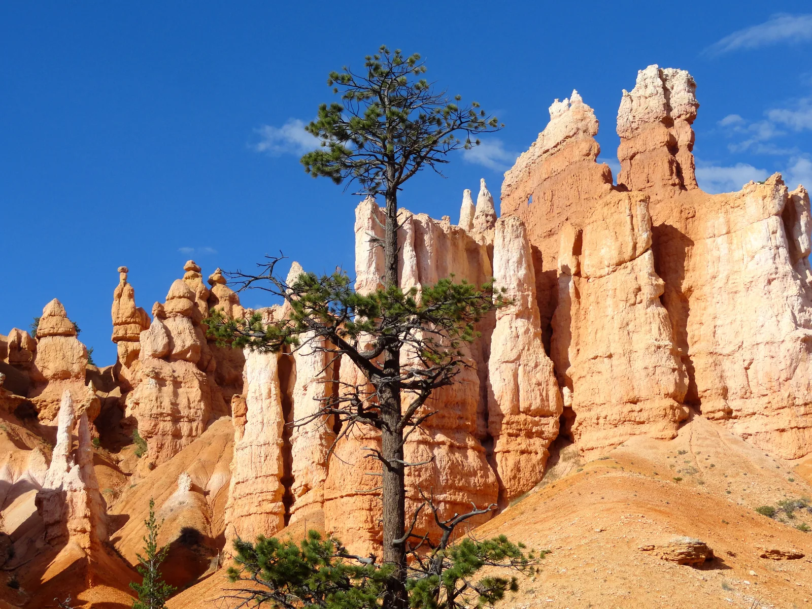
Fairyland Point North of the entrance station and not served by the shuttle, so it stays quiet. Start of the 12.9 km (8 mi) Fairyland Loop.
Hikes & routes: every trail starts by going down
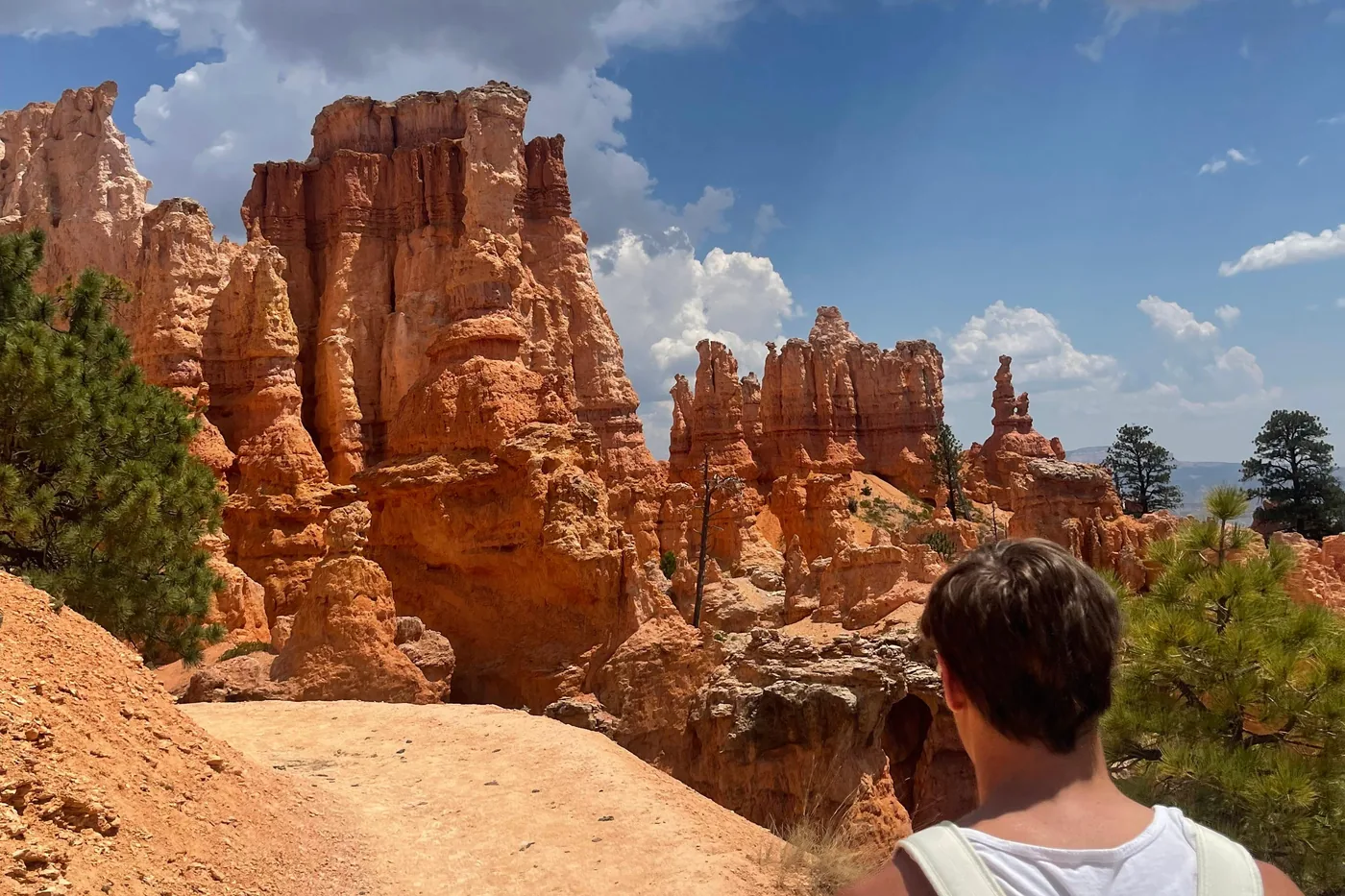
Fairyland Loop: the quiet hike in the north The park describes the Fairyland Loop as quiet. It first follows the rim near Boat Mesa, then runs below it among hoodoos with wide views towards the Bryce Amphitheater: 12.9 km (8 mi), 579 m (1,900 ft) of elevation change, four to five hours, recommended anticlockwise. Fairyland Point has neither a shuttle stop nor facilities; if you come by shuttle, start at the Tower Bridge access north of Sunrise Point. In midwinter the trail can be impassable under 0.7 to 5 metres of snow.
NPS: Fairyland Loop ↗
Add to your Bryce Canyon visit Open in OpenStreetMap ↗ Location source ↗
37.65026, -112.14603
All places
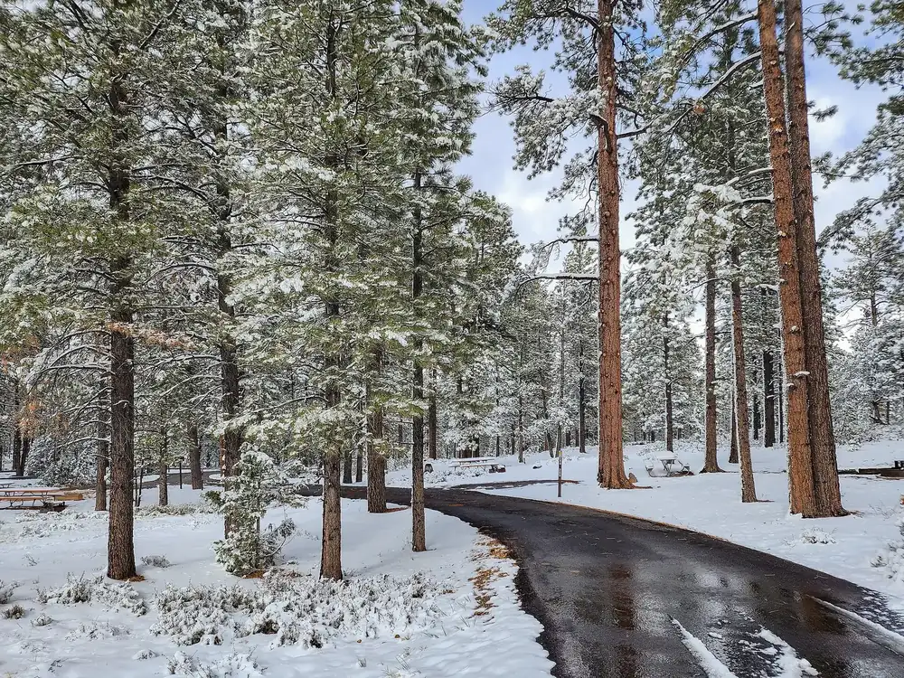
North Campground The only campground in the park that stays open in winter. Reservation only via Recreation.gov, within walking distance of the visitor center.
Add to your Bryce Canyon visit Open in OpenStreetMap ↗ Location source ↗
37.63725, -112.16913
All places Photo: King of Hearts ↗ · CC BY-SA 4.0 ↗
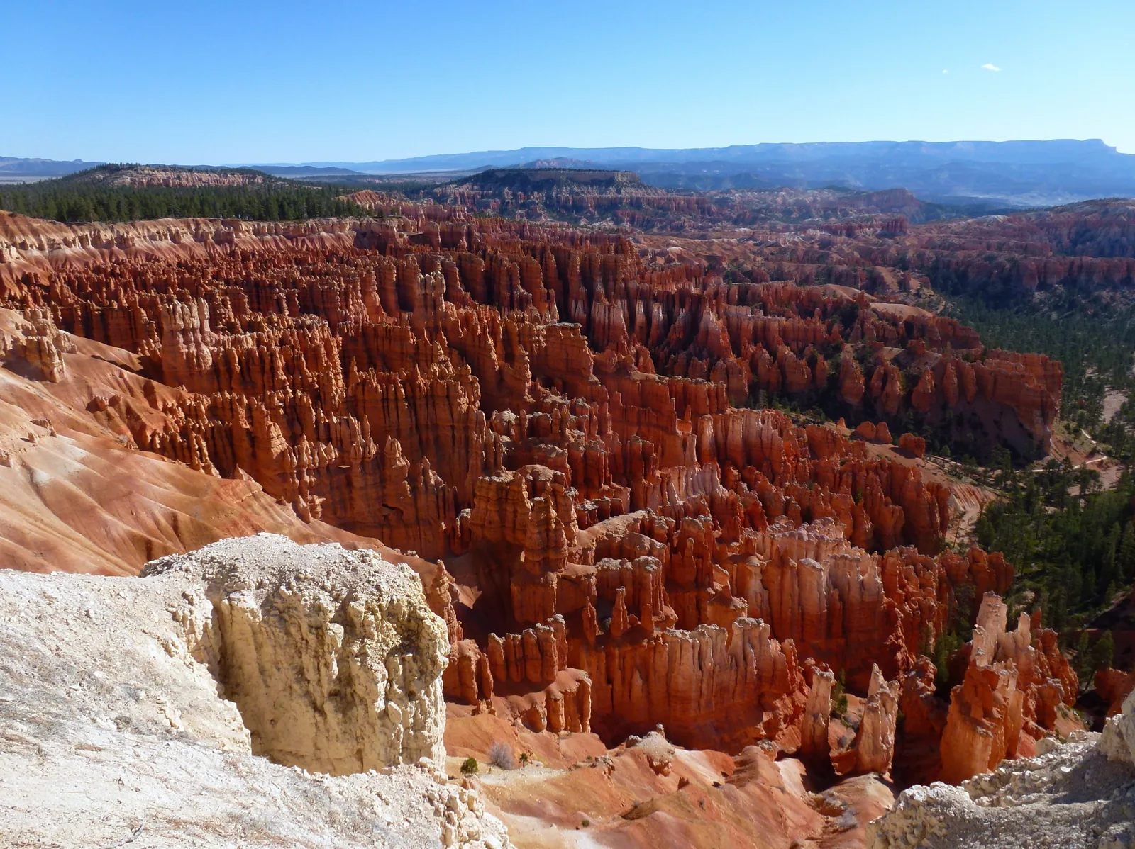
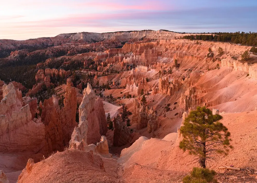
Sunrise Point One of the two viewpoints the park recommends for sunrise, and the trailhead for the Queen’s Garden Trail.
Guided from here · Ad
Partner links: we may earn a commission if you book – at no extra cost to you. Thank you for supporting the atlas. Dates and prices with the provider.
Add to your Bryce Canyon visit Open in OpenStreetMap ↗ Location source ↗
37.62822, -112.16298
All places Photo: w_lemay ↗ · CC BY-SA 2.0 ↗
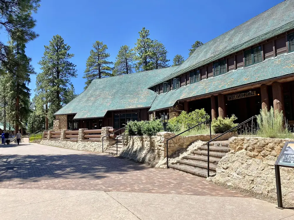
Bryce Canyon Lodge The only lodging in the park: 114 rooms in the lodge, motel buildings and cabins, plus a dining room. Closed in winter, though one unit usually stays bookable.
Guided from here · Ad
Partner links: we may earn a commission if you book – at no extra cost to you. Thank you for supporting the atlas. Dates and prices with the provider.
Add to your Bryce Canyon visit Open in OpenStreetMap ↗ Location source ↗
37.62699, -112.16794
All places Photo: Pierre André Leclercq ↗ · CC BY-SA 4.0 ↗
Sunset Point Trailhead for the Navajo Loop and start of the accessible section of the Rim Trail. Despite the name, it is not the best spot for sunset.
Guided from here · Ad
Partner links: we may earn a commission if you book – at no extra cost to you. Thank you for supporting the atlas. Dates and prices with the provider.
Add to your Bryce Canyon visit Open in OpenStreetMap ↗ Location source ↗
37.62261, -112.16601
All places Photo: Tobias Alt ↗ · CC BY-SA 4.0 ↗
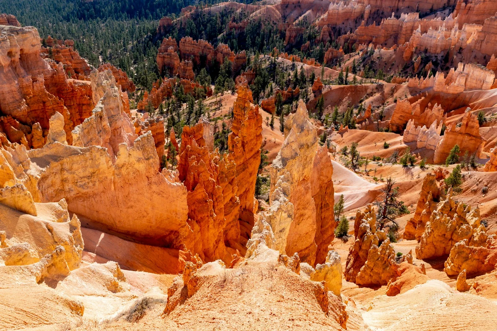
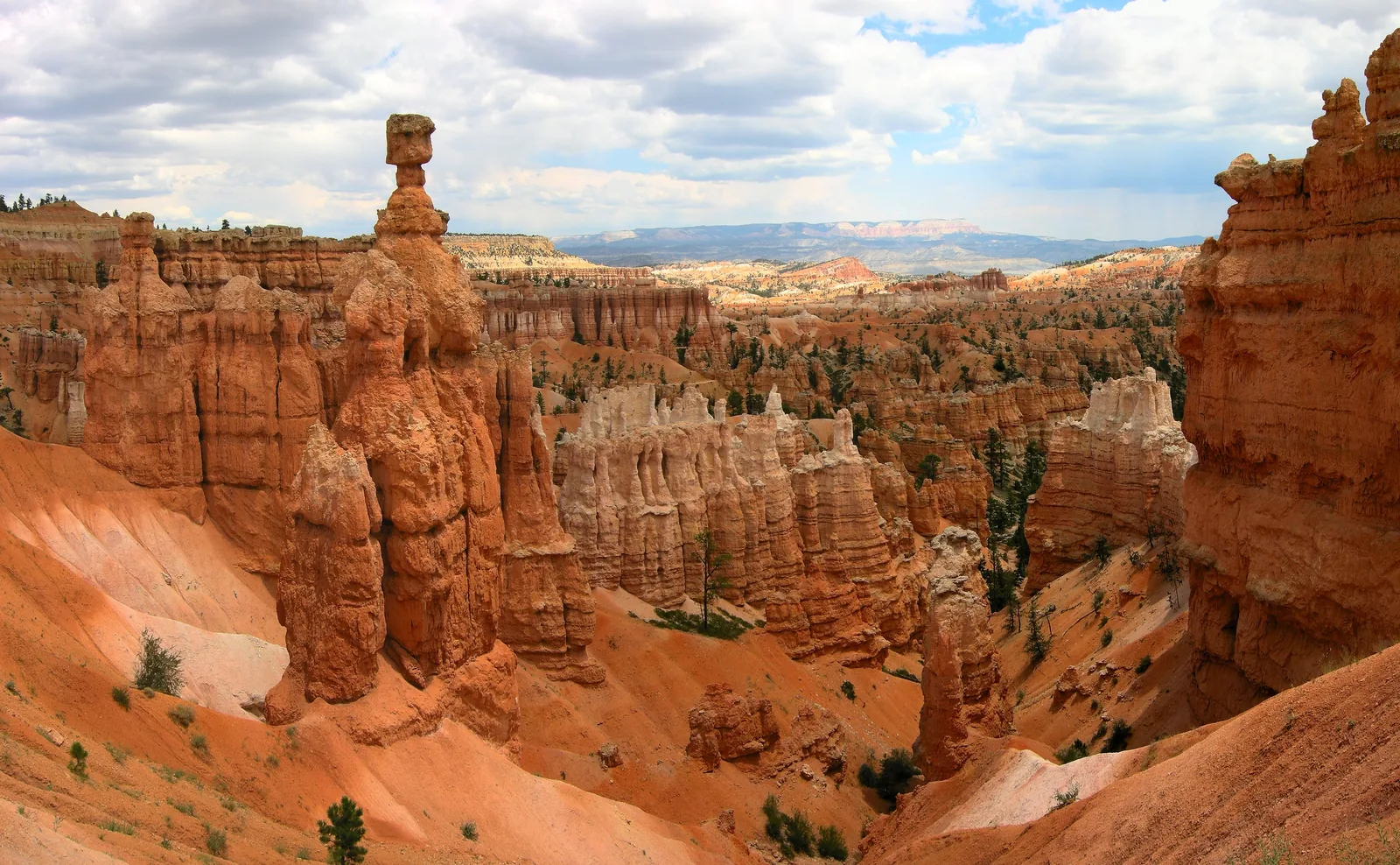
Thor’s Hammer The most photographed single rock in the park: a hard cap stone on a narrow neck. You can see it from Sunset Point and walk around it on the way down.
A hoodoo with a cap stone: the park’s landmark and a lesson in erosion.
Location on the Navajo Loop below Sunset Point
Visible from the rim yes
Access Navajo Loop, 2.2 km (1.4 mi)
Climbing prohibited Add to your Bryce Canyon visit Open in OpenStreetMap ↗ Location source ↗
37.62279, -112.16495
All places Photo: Supercarwaar ↗ · CC BY-SA 4.0 ↗
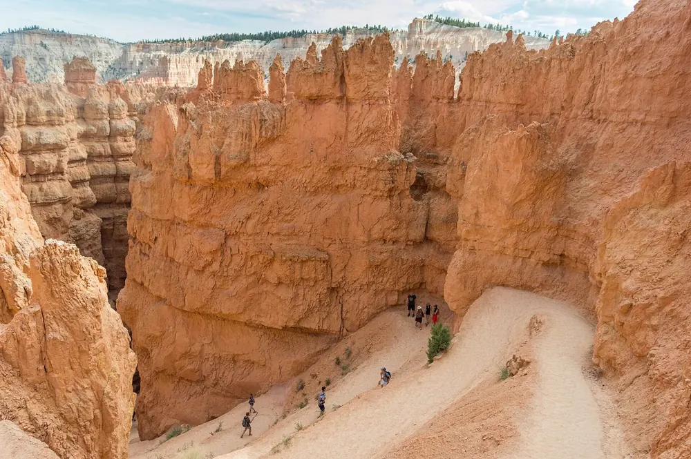
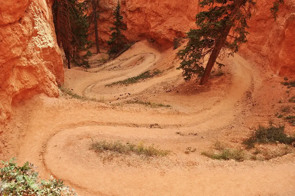
Wall Street A narrow rock corridor with switchbacks and two Douglas firs that grew tall in the shade. Closed in winter, when the loop goes via Two Bridges instead.
Add to your Bryce Canyon visit Open in OpenStreetMap ↗ Location source ↗
37.61957, -112.16553
All places Photo: Tony Webster ↗ · CC BY 2.0 ↗
Sunset Campground The second campground in the park, closed in winter. Reservations via Recreation.gov; Loop A has two accessible sites.
Add to your Bryce Canyon visit Open in OpenStreetMap ↗ Location source ↗
37.62197, -112.17470
All places Photo: Fabio Achilli from Milano, Italy ↗ · CC BY 2.0 ↗
Queen’s Garden Trail The least steep trail down into the hoodoos. 450 ft (137 m) of elevation change, one to two hours; at the end a short spur leads to the Queen Victoria rock formation.
The gentlest way down into the hoodoos, and the rock formation that gave the trail its name.
Length 2.9 km (1.8 mi) one way
Elevation change 137 m (450 ft)
Time 1 to 2 hours
Start Sunrise Point Add to your Bryce Canyon visit Open in OpenStreetMap ↗ Location source ↗
37.62176, -112.15837
All places Photo: Lucas·G ↗ · CC BY-SA 4.0 ↗
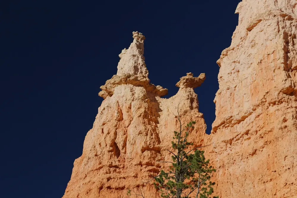
Queen Victoria The hoodoo that gave the trail its name. The likeness is easiest to see from the bend in the trail.
Add to your Bryce Canyon visit Open in OpenStreetMap ↗ Location source ↗
37.62612, -112.16128
All places Photo: King of Hearts ↗ · CC BY-SA 4.0 ↗
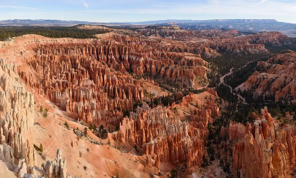
Inspiration Point Three stacked levels looking onto the densest wall of hoodoos in the park. The park recommends it for sunset.
Add to your Bryce Canyon visit Open in OpenStreetMap ↗ Location source ↗
37.61516, -112.16990
All places Photo: Kevin.Daniels ↗ · CC BY 3.0 ↗
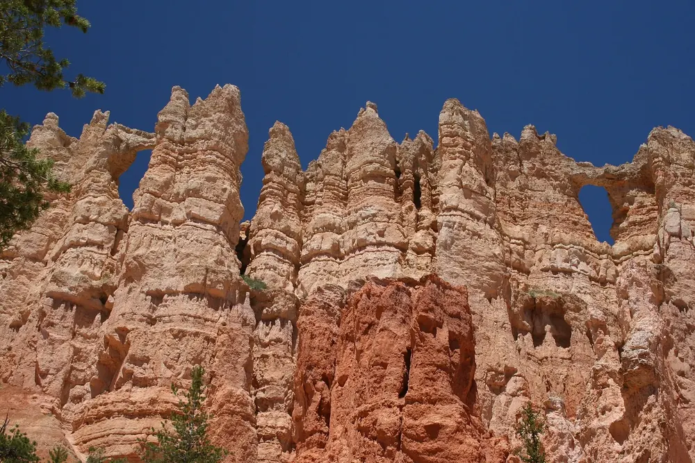
Wall of Windows A wall pierced by windows, the subject of many photos from the Peekaboo Loop. Reachable only on foot or on horseback.
Add to your Bryce Canyon visit Open in OpenStreetMap ↗ Location source ↗
37.61113, -112.16327
All places
Bryce Point The southernmost point on the amphitheater and, according to the park, one of the two best for sunrise. Trailhead for the Peekaboo Loop, Hat Shop and Under-the-Rim Trail.
Add to your Bryce Canyon visit Open in OpenStreetMap ↗ Location source ↗
37.60526, -112.15746
All places Photo: Paxson Woelber ↗ · CC BY-SA 3.0 ↗
Peekaboo Loop Trail Runs right through the hoodoos and shares sections with the horse trail. Clockwise only; the only trail in the park with a toilet.
Add to your Bryce Canyon visit Open in OpenStreetMap ↗ Location source ↗
37.60764, -112.15872
All places Photo: King of Hearts ↗ · CC BY-SA 4.0 ↗
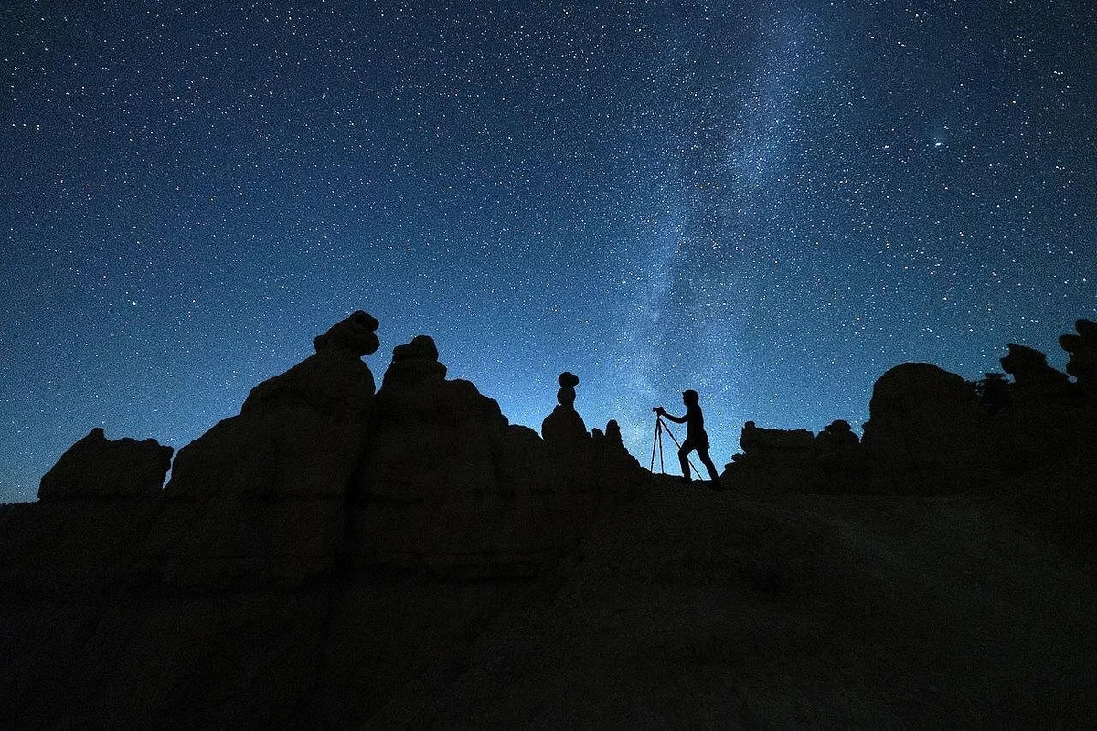
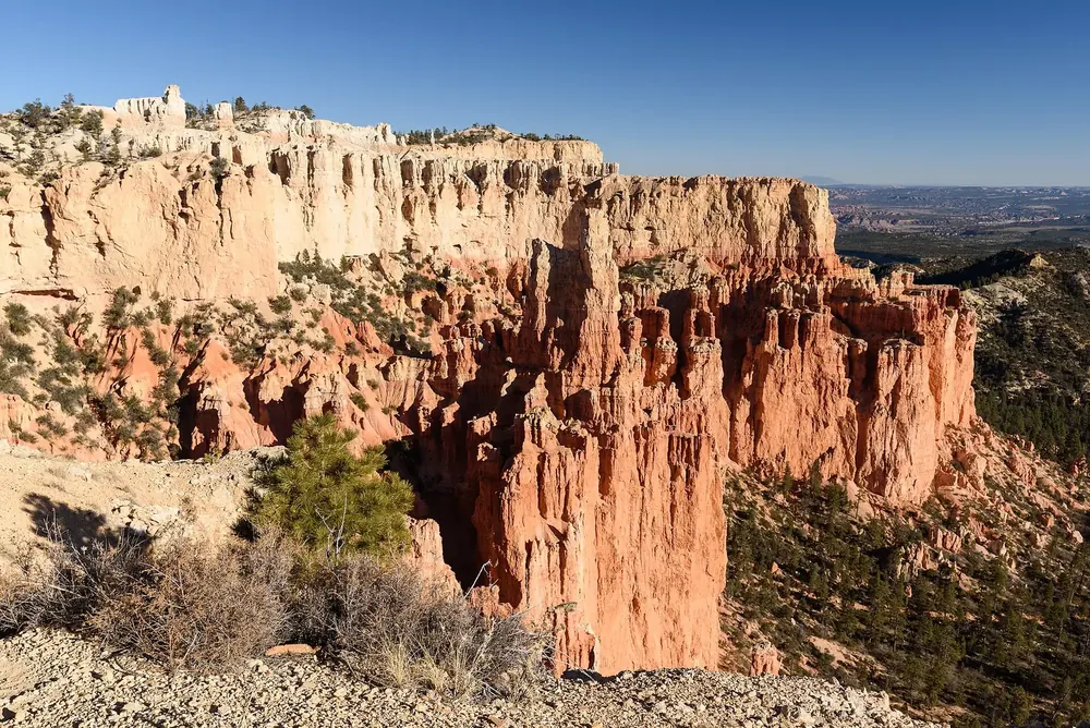
Paria View The only viewpoint that faces west, which is why the park recommends it for sunset and, in summer, for stargazing. No shuttle, small car park.
Add to your Bryce Canyon visit Open in OpenStreetMap ↗ Location source ↗
37.59514, -112.17139
All places
Swamp Canyon The first stop on the Southern Scenic Drive beyond the amphitheater, and start of a six-kilometre (3.7 mi) loop through the quiet backcountry.
Add to your Bryce Canyon visit Open in OpenStreetMap ↗ Location source ↗
37.58738, -112.21354
All places Photo: J Brew ↗ · CC BY-SA 2.0 ↗
Farview Point A view over the steps of the Grand Staircase into northern Arizona. On clear days, the park says, you can see almost 200 miles (320 km).
Add to your Bryce Canyon visit Open in OpenStreetMap ↗ Location source ↗
37.54455, -112.24686
All places
Piracy Point The only unpaved viewpoint in the park, so dogs are not allowed. A few minutes' walk from the Farview Point car park.
Add to your Bryce Canyon visit Open in OpenStreetMap ↗ Location source ↗
37.54635, -112.24459
All places Photo: Andrew Smith from Seattle, WA, USA ↗ · CC BY-SA 2.0 ↗
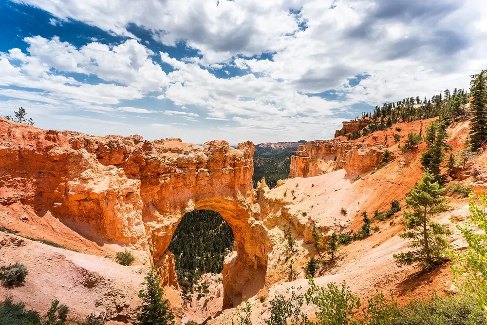
Natural Bridge An arch 26 metres (85 ft) wide right beside the scenic drive, framed by ponderosa pines. The car park is small and usually full in summer.
Add to your Bryce Canyon visit Open in OpenStreetMap ↗ Location source ↗
37.53149, -112.25974
All places Photo: Christian David ↗ · CC BY-SA 4.0 ↗
Agua Canyon Two striking hoodoos the park calls “Hunter” and “Rabbit”. One of the most colourful stops on the southern drive.
Add to your Bryce Canyon visit Open in OpenStreetMap ↗ Location source ↗
37.51645, -112.26493
All places Photo: CelikBlek ↗ · CC BY-SA 3.0 ↗
Rainbow Point The highest point in the park and the end of the 18-mile (29 km) road. The Bristlecone Loop starts here.
Eighteen miles to Rainbow Point, and the viewpoints where hardly anyone stops.
Length 18 miles, about 29 km
End Rainbow Point, 2,778 m (9,115 ft)
Shuttle does not run on this section
RVs no restrictions Add to your Bryce Canyon visit Open in OpenStreetMap ↗ Location source ↗
37.47487, -112.24045
All places Photo: Anthony Maw ↗ · CC BY-SA 4.0 ↗
Yovimpa Point One of the few places where even non-geologists can recognise the Grand Staircase as a staircase. The park’s webcam shows exactly this view.
From here you can see 100 miles of Earth’s history as a staircase, if you know what you are looking at.
Location End of the scenic drive
Steps Pink, Grey, White, Vermilion, Chocolate Cliffs
Length of the staircase 100 miles (160 km) to the Grand Canyon
View into Arizona Add to your Bryce Canyon visit Open in OpenStreetMap ↗ Location source ↗
37.47245, -112.24020
All places Photo: doug ↗ · CC BY 2.0 ↗
Bristlecone Loop One hour through spruce and fir forest to bristlecone pines, the oldest trees in the park. 200 ft (61 m) of elevation change.
Add to your Bryce Canyon visit Open in OpenStreetMap ↗ Location source ↗
37.47118, -112.23612
All places
Tower Bridge Destination of a trail just under five kilometres (3 mi) long from the road north of Sunrise Point, with a view of the “Chinese Wall”.
Add to your Bryce Canyon visit Open in OpenStreetMap ↗ Location source ↗
37.63161, -112.14473
All places Photo: Ken Lund from Reno, Nevada, USA ↗ · CC BY-SA 2.0 ↗
Mossy Cave Trail A short streamside trail to a mossy grotto hung with icicles in winter. The park advises against visiting between 10:00 and 18:00; cars parked outside the car park are towed.
Add to your Bryce Canyon visit Open in OpenStreetMap ↗ Location source ↗
37.66552, -112.11144