
National Parks Atlas
To the park
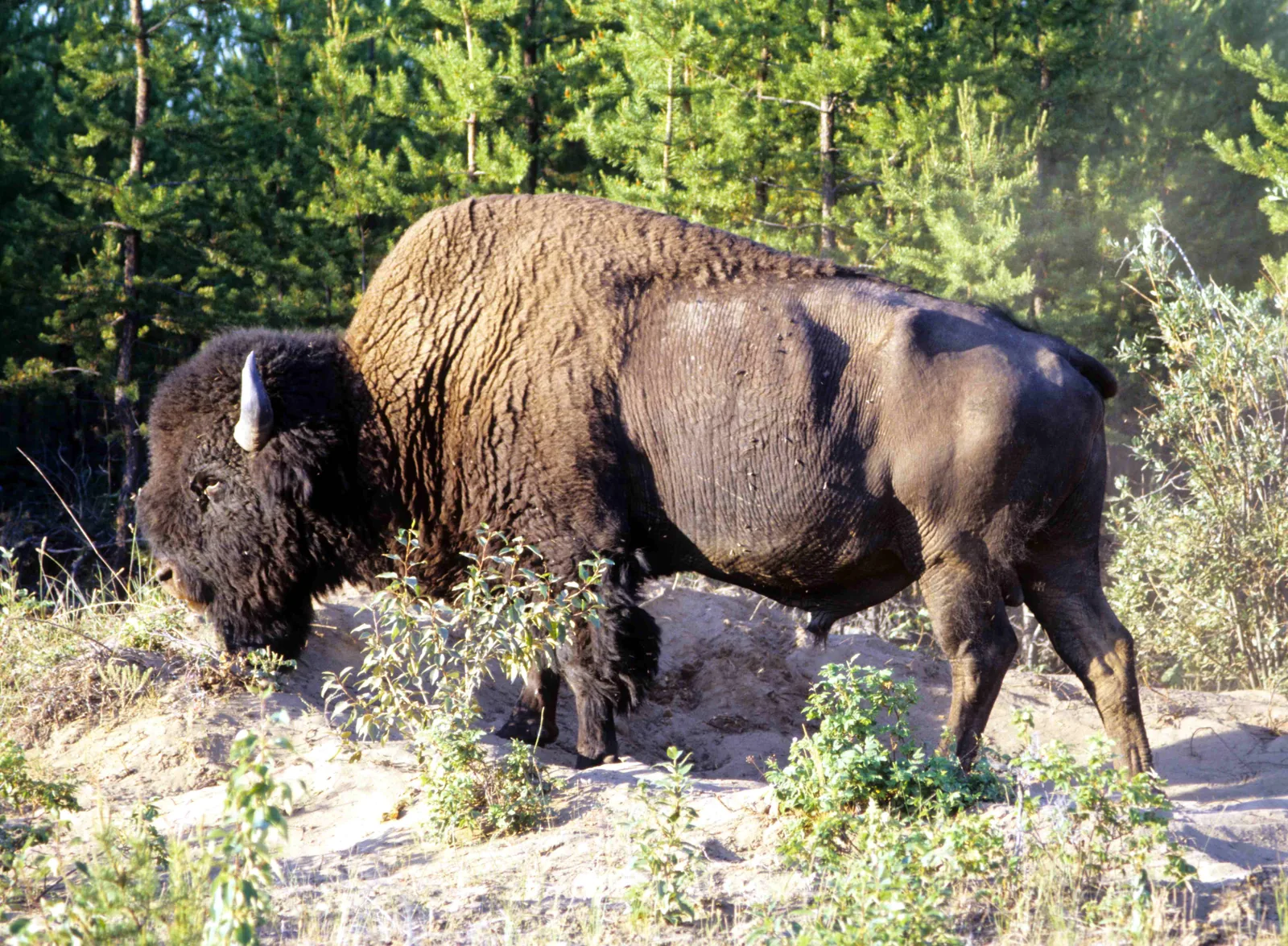
A wood bison in Wood Buffalo National Park with a thick mane stands on a sandy clearing between young pines and shrubs, lowering its head to the ground

Wood Buffalo National Park: map

6 places with verified coordinates · 3 with photo

Guided walks in the park · 3

Park authority programmes without partner links. Details checked 2 Oct 2026; dates and prices with the provider.

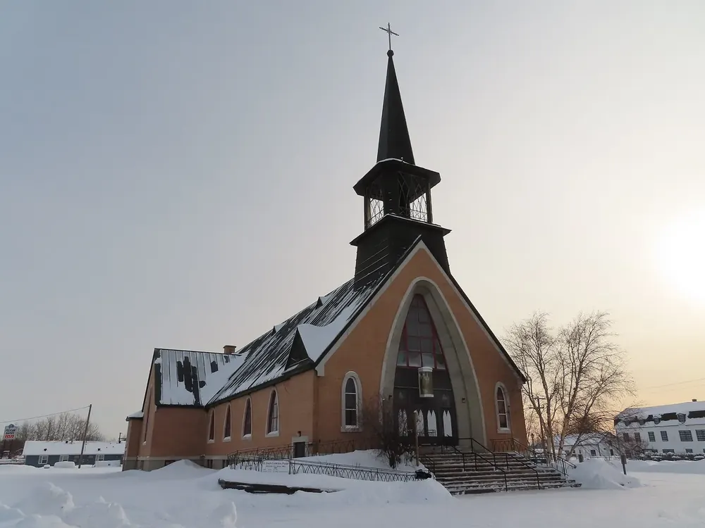
St. Joseph’s Cathedral in Fort Smith in winter: a brick church with a pointed spire behind a snow-covered forecourt
Photo: awmcphee ↗ · CC0 1.0 ↗

Surroundings · Town with visitor centre

Fort Smith

Home of the park administration; visitor centre at 149 McDougal Road, daily in summer 9:00–18:00. Rental of canoes and paddleboards.

Guided from here

Park authority programmes, no partner links. Dates on their website.

Open in OpenStreetMap ↗Location source ↗

60.00585, -111.89026
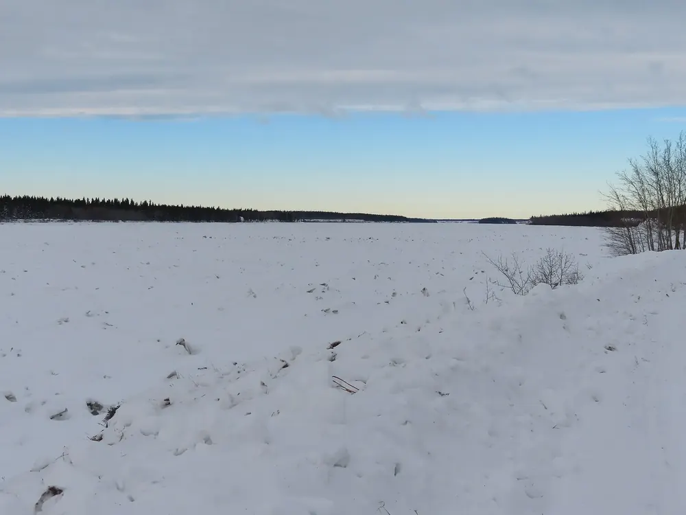
Nature · Day-use area

Salt River Day Use Area

24 km (15 mi) south of Fort Smith. Dëldël Kuę́ shelter with a wood stove, garter snakes in spring, stargazing. Start of the Salt River Meadows Loop.

Open in OpenStreetMap ↗Location source ↗

59.81759, -111.96941

Where to stay · Campground

Pine Lake Campground

18 unserviced sites, May to 30 September. Ten reservable, eleven on arrival.

Open in OpenStreetMap ↗Location source ↗

59.53460, -112.23314

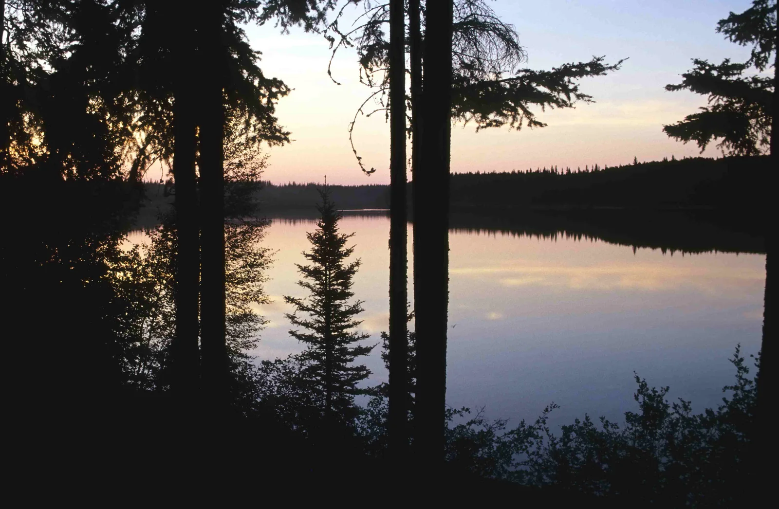
Pine Lake in Wood Buffalo National Park at dusk, silhouetted spruce trunks in the foreground, a pink sky reflected on the smooth water
Photo: Ansgar Walk ↗ · CC BY-SA 2.5 ↗

Water · Lake

Pine Lake

Water-filled sinkhole with a sandy beach, 60 km (37 mi) south of Fort Smith. Swimming usually from July, no lifeguards.

A sinkhole full of turquoise water: swimming beach, campground and stargazing spot in one.

Location
60 km (37 mi) south of Fort Smith.
Ice-free
from about mid to late June.
Swimming
usually July to early September; unsupervised, drops off quickly.
Facilities
sandy beach, changing rooms, cooking shelter, playground.
At night
Dark Sky Circle with reclining benches, bats and loons.

Open in OpenStreetMap ↗Location source ↗

59.54587, -112.25089

Surroundings · Town with visitor centre

Fort Chipewyan

The park’s second visitor centre, 124 B Mackenzie Avenue. Direct flights from Edmonton and Yellowknife.

Open in OpenStreetMap ↗Location source ↗

58.71664, -111.15002

Locations verified from the linked original sources and OpenStreetMap. The map shows no trails or park boundaries; markers do not imply that access is permitted.

Map: © OpenStreetMap contributors, OpenMapTiles, OpenFreeMap. Elevation: Terrain Tiles (Mapzen, AWS Open Data); 3DEP, GMTED2010 and SRTM courtesy of the U.S. Geological Survey; EU-DEM (Copernicus, European Union); ETOPO1 (NOAA); ArcticDEM (NSF, DigitalGlobe); Geoscience Australia; Open Data Austria (DGM); Open Government Licence – Canada; INEGI; Land Information New Zealand; Kartverket; Environment Agency (UK).

Park photo: Photo: Ansgar Walk ↗ · CC BY-SA 2.5 ↗

Loading map …