National Parks Atlas
To the park
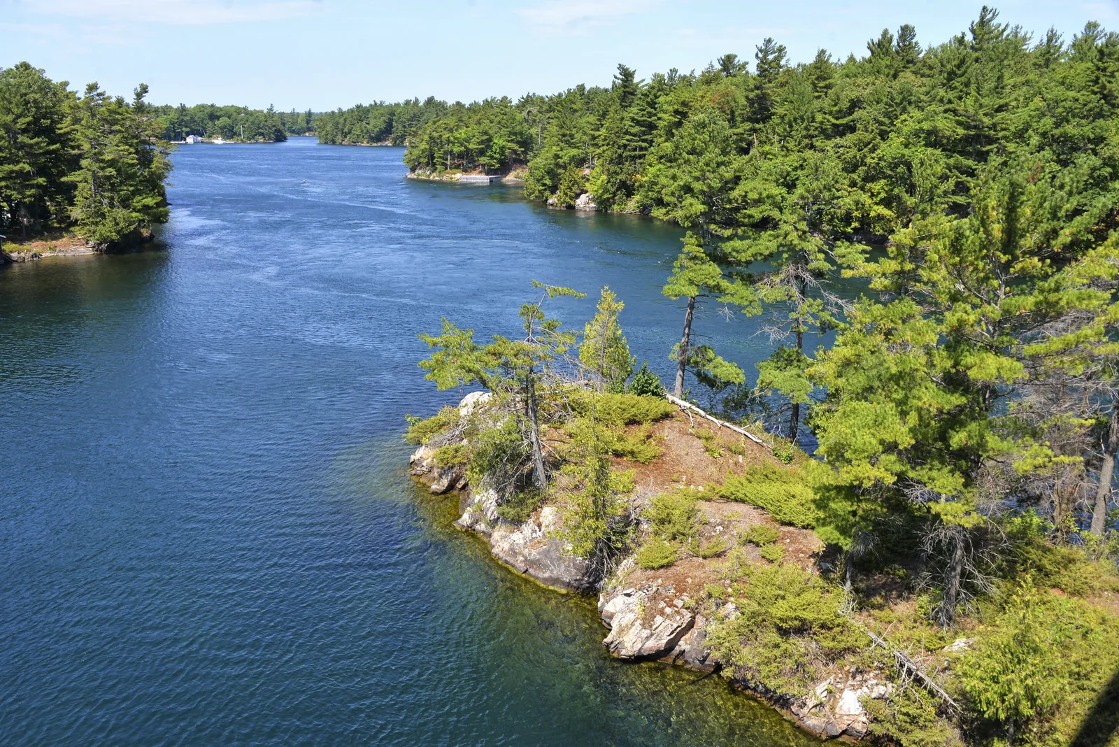
Forested granite islands with pines rising from the blue St. Lawrence River, more islands in the background

Thousand Islands National Park: map

22 places with verified coordinates · 5 with photo

Offers in the park · 6

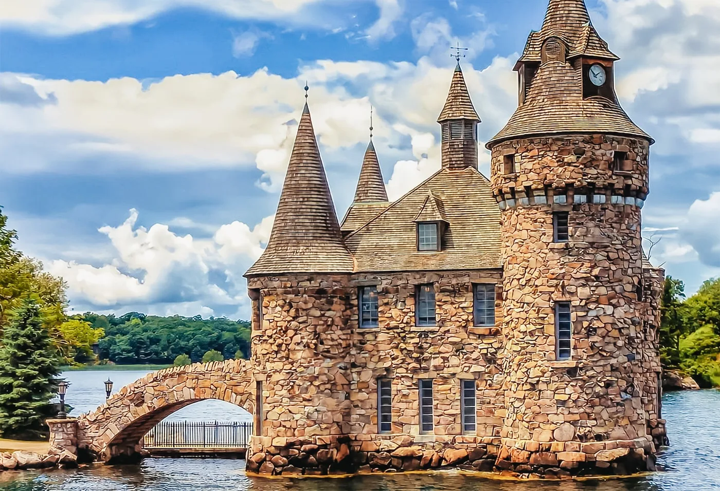
  • Offer photo: Gananoque: 1000 Islands cruise & optional Boldt Castle entry

    GetYourGuide

    Gananoque: 1000 Islands cruise & optional Boldt Castle entry ↗

    4.5 out of 5 stars5,851 reviews on GetYourGuidefrom €26.03as of 4 Oct

    City Cruises harbour on Main Street in Gananoque, Ontario; check in with the staff. Paid parking at the harbour.

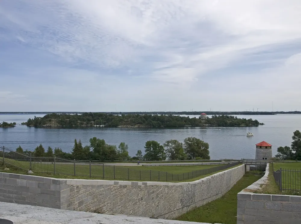
  • View from the Lookout Trail at Landon Bay over forested shores to the St. Lawrence River with the Thousand Islands between Gananoque and Ivy Lea

    GetYourGuide

    From Ivy Lea: 1000 Islands Boldt Castle scenic cruise ↗

    4.6 out of 5 stars1,512 reviews on GetYourGuidefrom €26.03as of 4 Oct

    City Cruises harbour in Ivy Lea, 95 Ivy Lea Road, Lansdowne, Ontario, on the 1000 Islands Parkway near the Thousand Islands Bridge; be there 30 minutes before departure.

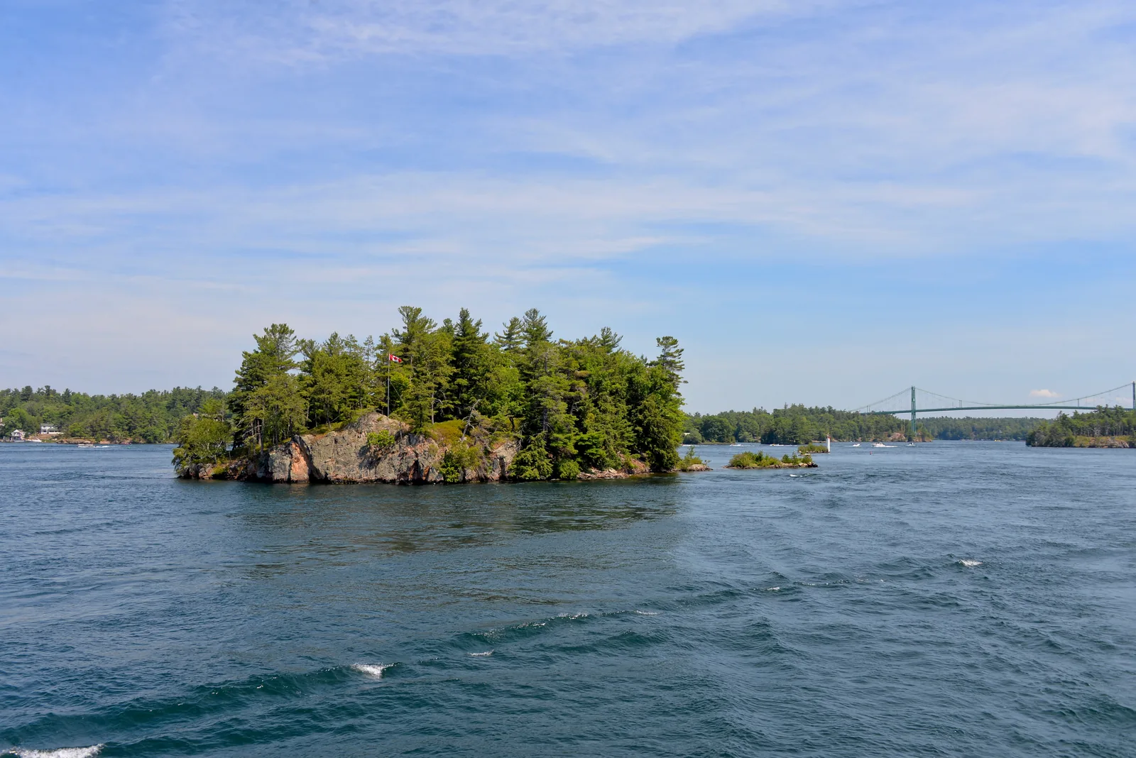
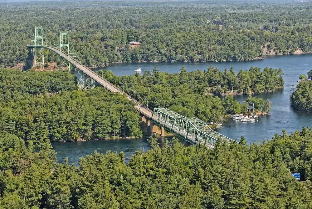
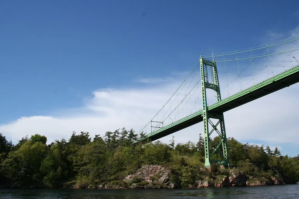
  • A small forested granite island with a Canadian flag in the St. Lawrence River, a suspension bridge in the background on the right

    GetYourGuide

    From Gananoque: helicopter flight over the 1000 Islands ↗

    4.9 out of 5 stars488 reviews on GetYourGuidefrom €79.88as of 4 Oct

    Gananoque heliport on Highway 401, about 20 minutes east of Kingston; check in at reception, followed by a pre-flight briefing.

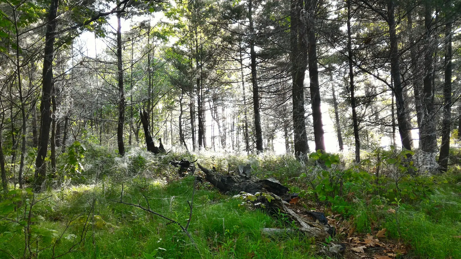
  • Open pine forest on Gordon Island, a park island in the Lake Fleet group that you can reach by water taxi without your own boat

    Water taxi · named by Parks Canada · 1000 Islands Kayaking, named by Parks Canada as a water taxi for campers

    Without your own boat: water taxi from Gananoque to the park islands ↗1000 Islands Kayaking dock at Gananoque harbour, 110 Kate Street. The business has no parking of its own; park on Main, John or South Street or in a public lot.

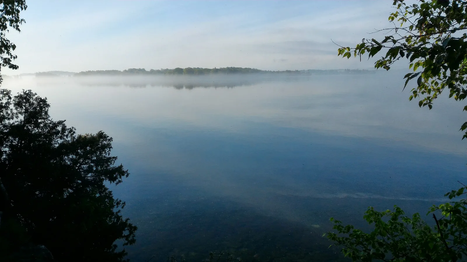
  • Morning mist over the glassy St. Lawrence River seen from a park island: calm water for kayaking between the islands

    Guided kayak tour · named by Parks Canada · 1000 Islands Kayaking, named by Parks Canada for guided kayak tours

    Guided sea kayaking through the Admiralty Islands, with a stop on a park island ↗1000 Islands Kayaking, 110 Kate Street, Gananoque; arrive 15 to 20 minutes before the start. No parking of its own; park on Main, John or South Street or in the City Cruises lot.

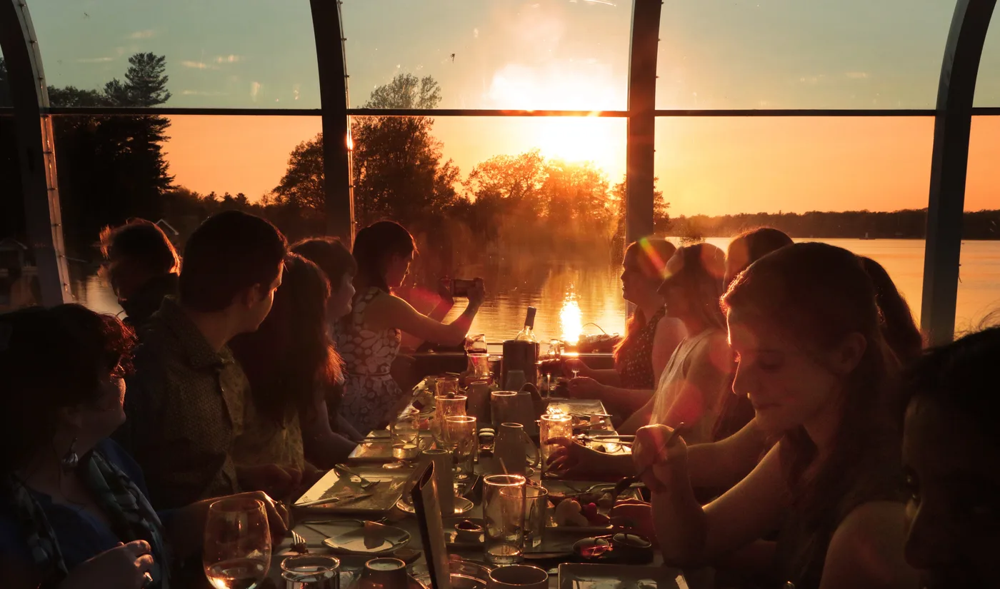
  • Offer photo: From Kingston: sunset dinner cruise into the Admiralty Islands

    Evening cruise from Kingston · dinner on board · GetYourGuide

    From Kingston: sunset dinner cruise into the Admiralty Islands ↗

    4.5 out of 5 stars328 reviews on GetYourGuidefrom €89.31as of 4 Oct

    Crawford Wharf, 1 Brock Street, Kingston, Ontario; arrive 30 minutes before boarding and exchange your voucher for tickets. There is no parking at the wharf.

Ad · partner links: we may earn a commission if you book – at no extra cost to you. Thank you for supporting the atlas. Offer details checked 2 Oct 2026; dates and prices with the provider.

Arrival · Visitor centre

Mallorytown Landing

1121 Thousand Islands Parkway, exit 675 from Highway 401. Visitor centre, boat launch, picnic area, playground, five oTENTiks and two trails. The only part of the park you can reach by car.

Open in OpenStreetMap ↗Location source ↗

44.45230, -75.86032

Nature · Hiking area

Jones Creek

1270 Thousand Islands Parkway, six kilometres east of Mallorytown Landing. Twelve kilometres (7.5 mi) of trails from easy to difficult, lookout rocks and a boardwalk through the wetland. Overnight stays are not allowed here.

Open in OpenStreetMap ↗Location source ↗

44.48972, -75.82157

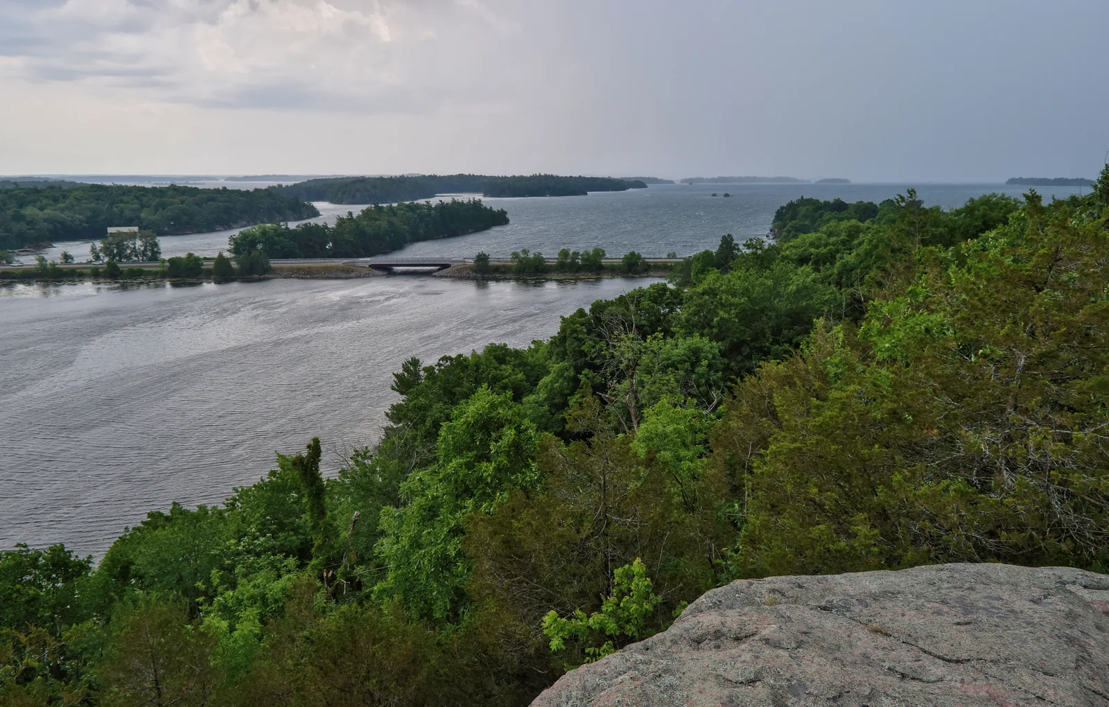
View from a granite rock over forested shores to the wide river with low islands under a cloudy sky
Photo: The Cosmonaut ↗ · CC BY-SA 2.5 ca ↗

Nature · Hiking area

Landon Bay

302 Thousand Islands Parkway, exit 647. Seven kilometres of trails through fields, forest and wetland. According to the park authority, the Lookout Trail has the best natural view in the region.

Seven kilometres of trails on the mainland, and the lookout rock that the park authority considers the best natural view in the region.

Address
302 Thousand Islands Parkway, exit 647.
Trails
Seven kilometres, six different loops.
View
Lookout Trail, with several sets of stairs.
Time
About an hour for the lookout loop.
Audio tour
Narrated by the five-lined skink and the gray ratsnake.

Overnight stays
Not allowed.

Open in OpenStreetMap ↗Location source ↗

44.35319, -76.07625

Water · Island

Milton

Second island of the Kingston group, also from the Cataraqui Canoe Club. About 90 metres (295 ft) of docking.

Open in OpenStreetMap ↗Location source ↗

44.24497, -76.39813

Water · Island

Aubrey

Admiralty group off Gananoque, good for paddling. Park authority red chairs, over 90 metres (295 ft) of docking.

Open in OpenStreetMap ↗Location source ↗

44.29642, -76.19340

Water · Island

Mermaid

Small neighbouring island of Aubrey, 30 to 90 metres of docking. Access via the Gananoque municipal marina.

Open in OpenStreetMap ↗Location source ↗

44.29534, -76.18819

Water · Island

Beau Rivage

Admiralty group, red chairs, over 90 metres (295 ft) of docking. One of the five places where generators are allowed.

Open in OpenStreetMap ↗Location source ↗

44.30364, -76.18725

Water · Island with oTENTiks

McDonald

Three oTENTiks and tent sites, shallow landing for campers. Access via the Gananoque municipal marina.

Open in OpenStreetMap ↗Location source ↗

44.31221, -76.17422

Water · Island with sandy beach

Thwartway

One of the park’s two sandy beaches. Docking up to 30 metres (98 ft), access via Gananoque.

Open in OpenStreetMap ↗Location source ↗

44.29178, -76.15240

Water · Island

Camelot

Lake Fleet group, red chairs, over 90 metres (295 ft) of docking. Access via Gananoque or Misty Isles Lodge.

Open in OpenStreetMap ↗Location source ↗

44.30150, -76.11101

Water · Island

Endymion

Lake Fleet group, 30 to 90 metres of docking. A separate superintendent’s order on use applies to the island.

Open in OpenStreetMap ↗Location source ↗

44.30201, -76.09708

Open pine forest on an island, sunlight falling between the trunks onto grass and fallen deadwood
Photo: Ferris842 ↗ · CC BY-SA 4.0 ↗

Water · Island with oTENTiks

Gordon

Two oTENTiks, tent sites and red chairs. Navy group, access via Misty Isles Lodge.

One of the two islands with oTENTiks: pine forest, tent sites and red chairs, reachable only by water.

Group
Navy Islands.
Coordinates
44.330466, −76.103106.
oTENTiks
Two.
Docking
Over 90 metres (295 ft) of dock space.
Access
Misty Isles Lodge or water taxi.
Drinking water
None; bring your own.

Open in OpenStreetMap ↗Location source ↗

44.33047, -76.10311

Water · Island

Mulcaster

Navy group, over 90 metres (295 ft) of docking, shallow landing for campers.

Open in OpenStreetMap ↗Location source ↗

44.34278, -76.05055

Water · Island

Constance

Georgina’s immediate neighbour, same access via Ivy Lea, same warning about the current.

Open in OpenStreetMap ↗Location source ↗

44.35978, -75.97962

Water · Island

Grenadier West

West end of the largest park island. A separate superintendent’s order on use applies; access from Mallorytown Landing across a wide stretch of river.

Open in OpenStreetMap ↗Location source ↗

44.38435, -75.90631

Water · Island with drinking water

Grenadier Central

The only park island with drinking water and flush toilets, plus a sandy beach. Over 90 metres (295 ft) of docking.

Open in OpenStreetMap ↗Location source ↗

44.40258, -75.87589

Water · Island

Grenadier East

East end of Grenadier Island; trails lead to historic buildings and the old island road.

Open in OpenStreetMap ↗Location source ↗

44.42397, -75.84367

Water · Island

Stovin

The easternmost park island, near Brockville. The park authority is still developing plans for the site.

Open in OpenStreetMap ↗Location source ↗

44.55864, -75.71508

Locations verified from the linked original sources and OpenStreetMap. The map shows no trails or park boundaries; markers do not imply that access is permitted.

Map: © OpenStreetMap contributors, OpenMapTiles, OpenFreeMap. Elevation: Terrain Tiles (Mapzen, AWS Open Data); 3DEP, GMTED2010 and SRTM courtesy of the U.S. Geological Survey; EU-DEM (Copernicus, European Union); ETOPO1 (NOAA); ArcticDEM (NSF, DigitalGlobe); Geoscience Australia; Open Data Austria (DGM); Open Government Licence – Canada; INEGI; Land Information New Zealand; Kartverket; Environment Agency (UK).

Park photo: Photo: Mykola Swarnyk ↗ · CC BY-SA 4.0 ↗

Loading map …