


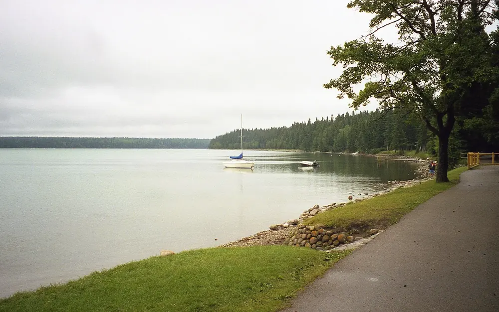
Surroundings · Town in the park
Wasagaming
Resort town in the park with the visitor centre, main campground, oTENTiks, yurts and MicroCubes. Visitor centre open 15 May to 12 October.
Open in OpenStreetMap ↗Location source ↗
50.65784, -99.97188

7 places with verified coordinates · 5 with photo
Evening cruise · authorised tour boat · Clear Lake Marina, operator of the only tour boat on Clear Lake
Sunset cruise on the Martese on Clear Lake from Wasagaming ↗Main Pier in Wasagaming on Clear Lake, at the Clear Lake Marina kiosk.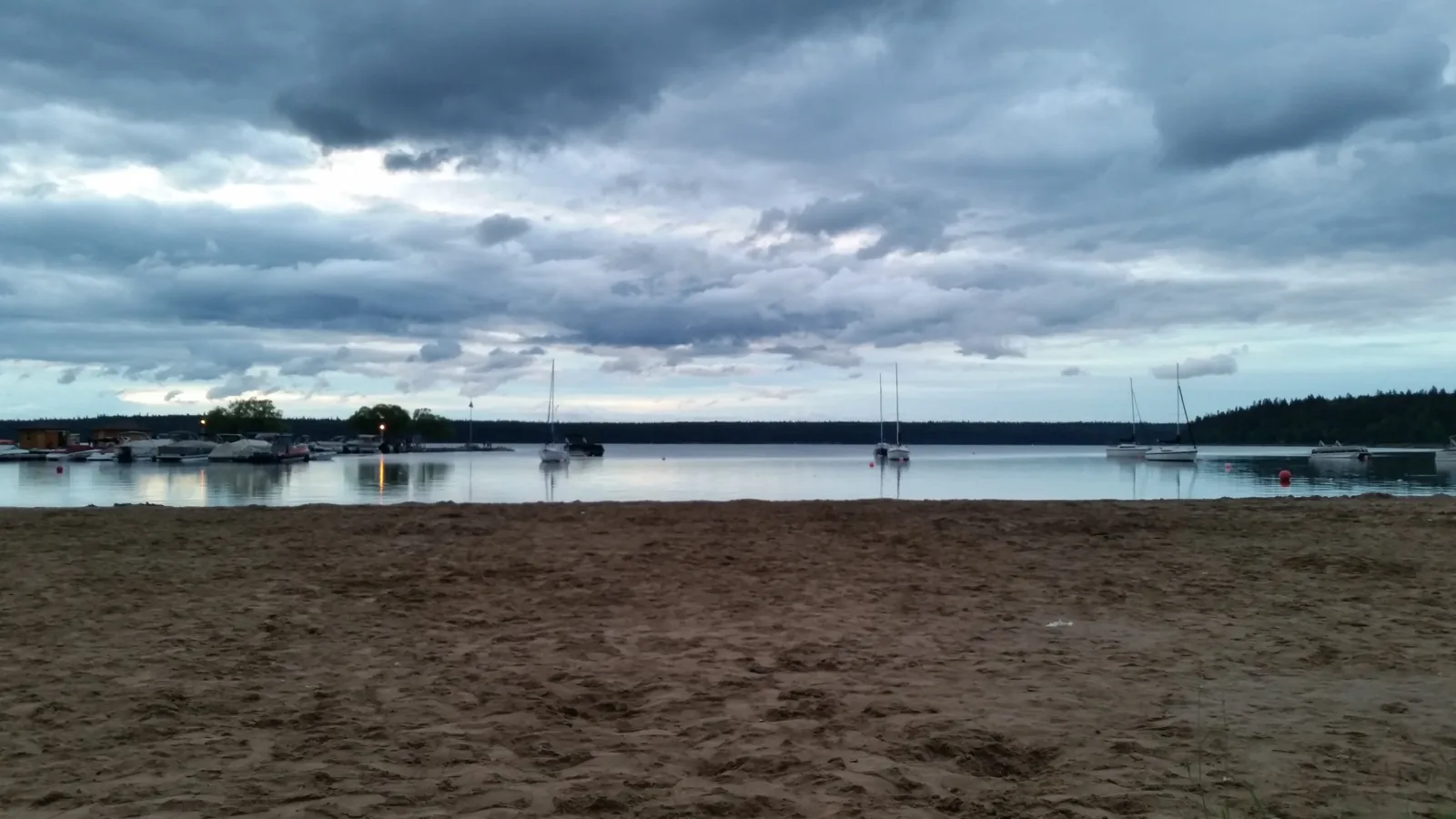
Interpretive cruise · authorised tour boat · Clear Lake Marina, operator of the only tour boat on Clear Lake
Guided afternoon cruise on the Martese across Clear Lake ↗Main Pier in Wasagaming on Clear Lake, at the Clear Lake Marina kiosk.Park authority programmes without partner links. Details checked 2 Oct 2026; dates and prices with the provider.
Surroundings · Town in the park
Resort town in the park with the visitor centre, main campground, oTENTiks, yurts and MicroCubes. Visitor centre open 15 May to 12 October.
Open in OpenStreetMap ↗Location source ↗
50.65784, -99.97188
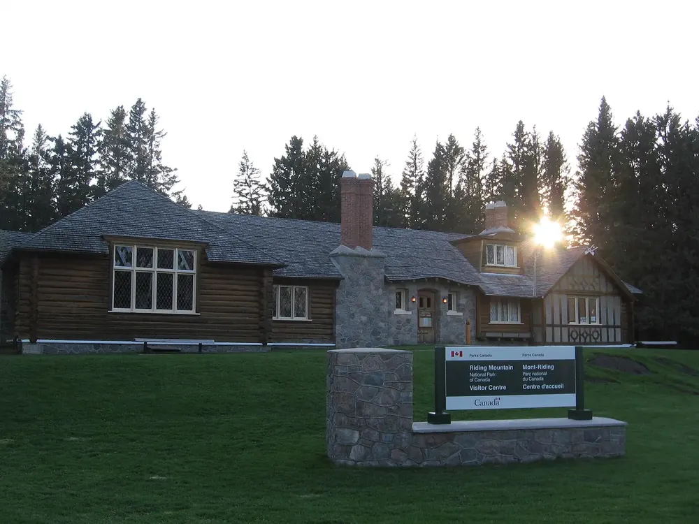
Arrival · Visitor centre
15 May to 9 September 2026 daily 9:00–18:00, then until 12 October daily 9:00–16:30.
Open in OpenStreetMap ↗Location source ↗
50.65763, -99.97233
Water · Lake
Nutrient-poor, exceptionally clear lake; home to 14 fish species. Wasagaming’s main beach is on the shore.
A prairie lake so clear that it served as a drinking water source, and the place where the park’s history is least pretty.
Open in OpenStreetMap ↗Location source ↗
50.68554, -100.01992
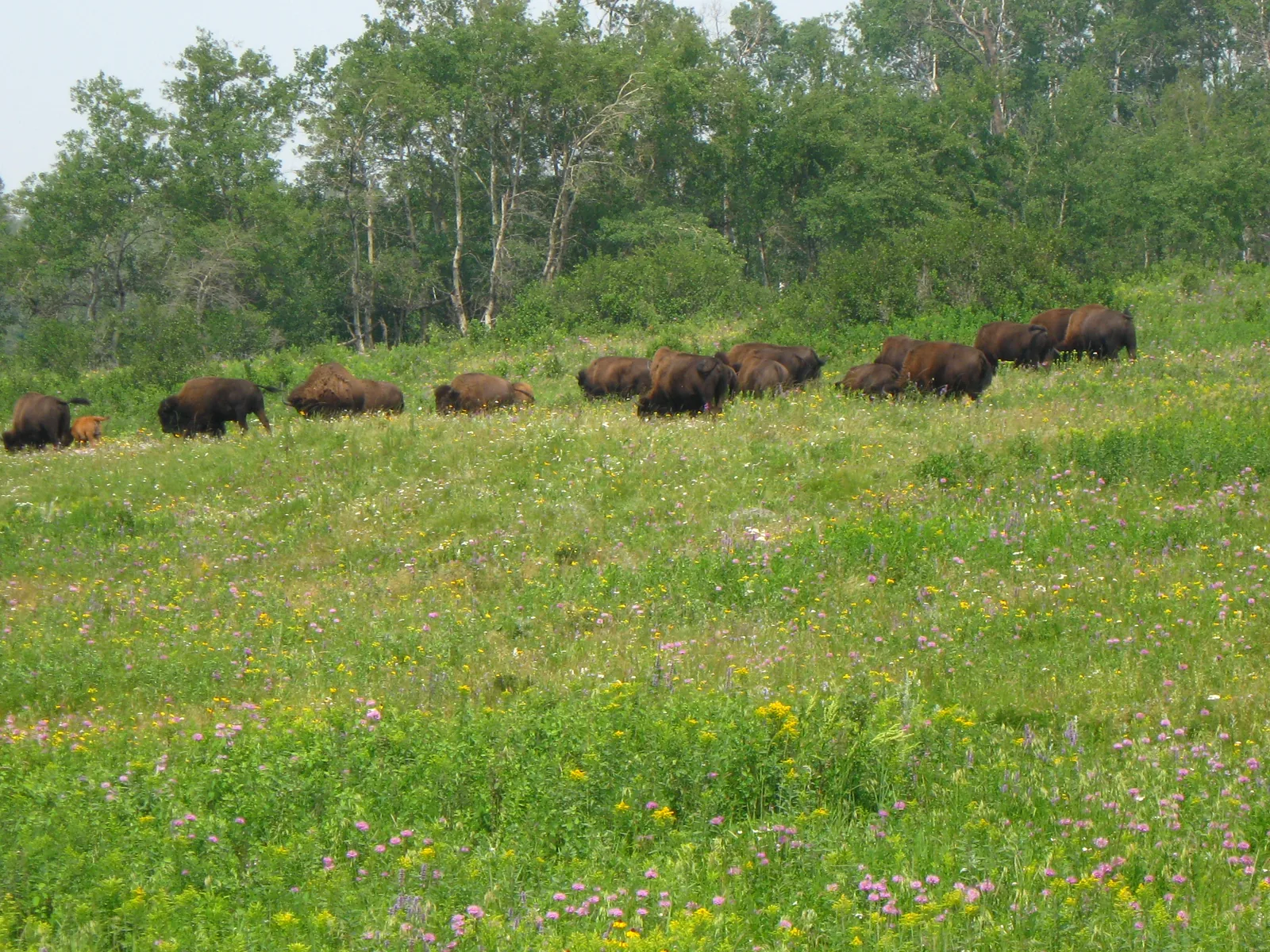
Nature · Wildlife enclosure
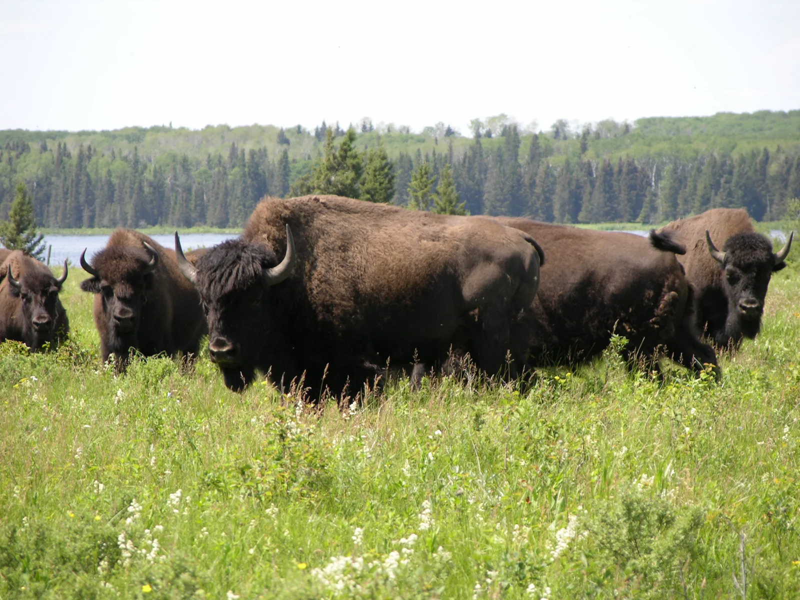
About 40 plains bison on 500 hectares, divided into summer and winter pastures. Access by vehicle only via Lake Audy Road; getting out is prohibited.
About forty plains bison on five hundred hectares, and a story in two attempts, the first of which failed.
Open in OpenStreetMap ↗Location source ↗
50.77314, -100.22286
Water · Lake and campground
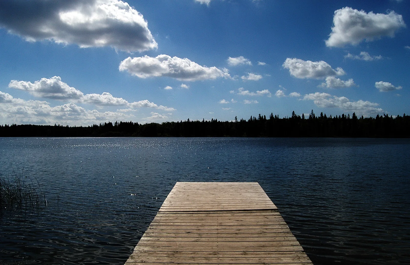
Lake in the west of the park with a basic campground at 19.50 CAD per night, near the bison enclosure.
Open in OpenStreetMap ↗Location source ↗
50.74933, -100.24920
Where to stay · Historic cabin
Destination of a longer day hike; one of the park’s six trail networks is named after this area.
Open in OpenStreetMap ↗Location source ↗
50.72856, -99.90123
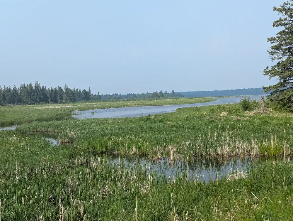
Water · Lake and campground
One of the park’s four basic campgrounds, 19.50 CAD per night.
Open in OpenStreetMap ↗Location source ↗
50.71446, -99.79091
Loading map …