National Parks Atlas
To the park
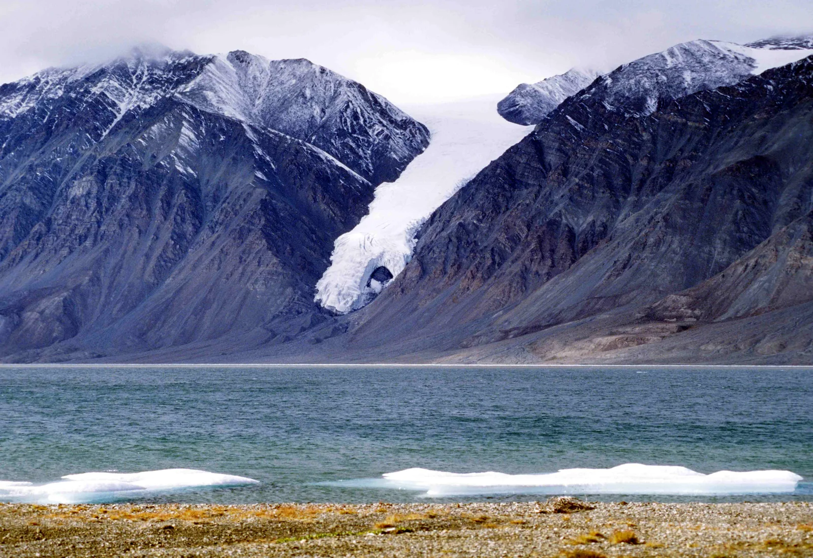
A glacier in Quttinirpaaq National Park pushes down between dark, snow-streaked mountains to the shore of a fiord, with ice floes on the beach

Quttinirpaaq National Park: map

11 places with verified coordinates · 6 with photo

Guided walks in the park · 2

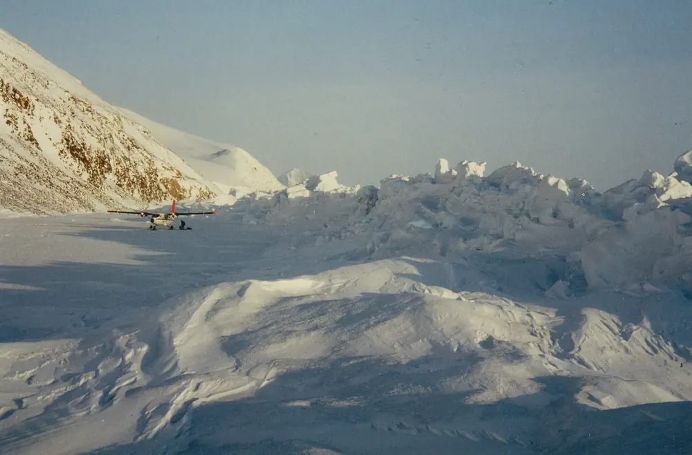
  • Aerial view of the head of Tanquary Fiord in Quttinirpaaq National Park with the gravel plain where charter flights from Resolute Bay land, bare mountains all around

    Charter flight · named operator · Kenn Borek Air, named by the Quttinirpaaq park authority (Parks Canada) as a charter operator

    Twin Otter charter flight from Resolute Bay to Tanquary Fiord ↗Resolute Bay airport (YRB), Nunavut. Canadian North flies there via Iqaluit, with connections from Ottawa, Montréal and Yellowknife.

  • A glacier pushes down to the shore at Tanquary Fiord in Quttinirpaaq National Park between dark mountains, the landscape around the base camp of the guided hiking weeks

    Guided hiking trip · named tour operator · Black Feather Wilderness Adventure Company, named by the Quttinirpaaq park authority (Parks Canada) as a tour operator

    Guided hiking weeks at a base camp at Tanquary Fiord ↗Meeting point in Resolute (YRB airport), Nunavut; the first and last nights at the South Camp Inn in Resolute.

Park authority programmes without partner links. Details checked 2 Oct 2026; dates and prices with the provider.

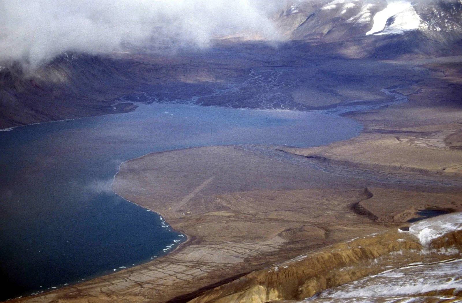
Aerial view of the head of a fiord in Quttinirpaaq National Park: dark water, in front of it a flat gravel plain with an airstrip, bare mountains all around
Photo: Ansgar Walk ↗ · CC BY-SA 2.5 ↗

Nature · Operations station

Tanquary Camp

The station at the head of Tanquary Fiord, where almost every visit begins and ends. Staffed from June to late July. The gravel airstrip where the Twin Otter lands is five kilometres away.

The station at the head of the fiord is the start and end of almost every visit, with a gravel airstrip, kitchen tent and a small museum.

Coordinates
81.400042, −76.821864
Staffed
early June to late July
Accommodation
Weatherhaven with four double rooms
Kitchen
shared tent with gas stove
Water
from the creek, boil it
Emergencies
radio and rescue equipment in the building

Open in OpenStreetMap ↗Location source ↗

81.40004, -76.82186

Water · Lake

Kettle Lake

Four kilometres from the station. Old archaeological sites lie around the lake; the park authority publishes a separate self-guided walk brochure for them, also in Inuktitut.

Open in OpenStreetMap ↗Location source ↗

81.39811, -76.77121

Mountains & rock · Glacier

Gull Glacier

The glacier opposite the station, called the “Hand of God” in old photographs. You can see it from camp without setting foot on the ice.

Open in OpenStreetMap ↗Location source ↗

81.41081, -77.44412

Mountains & rock · Ice cap

Ad Astra Ice Cap

One of the two ice caps that the best-known route circles: a nine- to ten-day loop from Tanquary Fiord.

Open in OpenStreetMap ↗Location source ↗

81.58926, -76.19682

Mountains & rock · Ice cap

Viking Ice Cap

The second ice cap of the big loop. If you want to go onto the ice, you need experience in glacier travel and crevasse rescue.

Open in OpenStreetMap ↗Location source ↗

81.52741, -75.46159

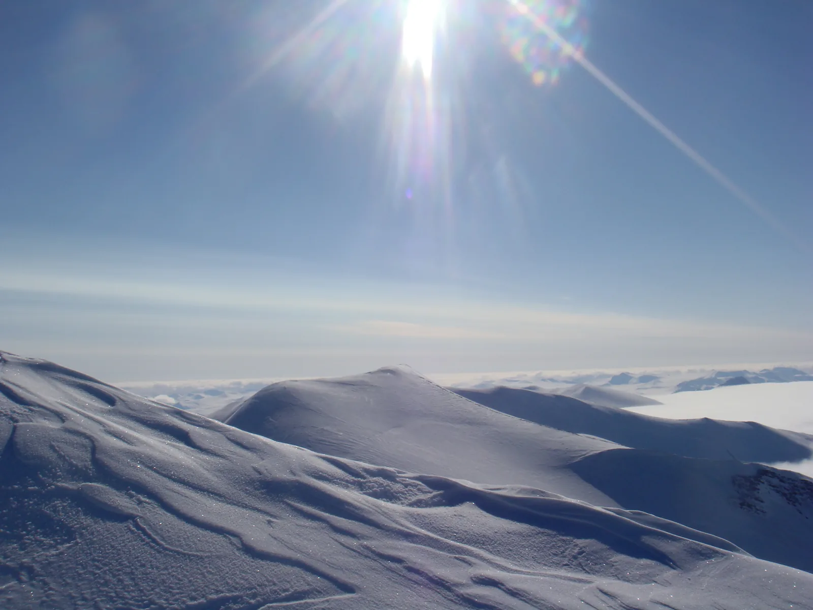
View from the summit in Quttinirpaaq National Park over wind-blown snow ridges to a vast icefield, the low sun in a blue sky above
Photo: FiLo X ↗ · CC BY-SA 3.0 ↗

Mountains & rock · Mountain

Barbeau Peak

At 2,616 metres (8,583 ft) the highest mountain in eastern North America. The park authority names it as a goal for ski tourers in spring; the park is not suitable for beginners.

The highest mountain in eastern North America, and according to the park authority a goal for the few who come on skis in spring.

Height
2,616 metres (8,583 ft)
Coordinates
81.926674, −74.986694
Best time
April and May
Requirements
ski touring, glacier travel, avalanche knowledge
Surroundings
countless unclimbed peaks
Rescue
can take a week or longer

Open in OpenStreetMap ↗Location source ↗

81.92667, -74.98669

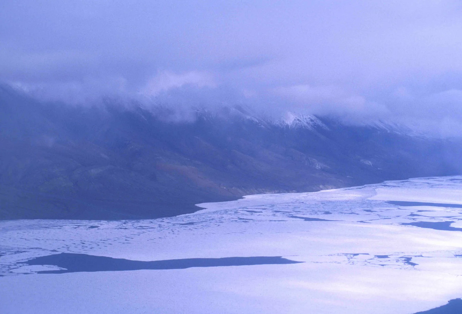
Frozen Lake Hazen in Quttinirpaaq National Park with broken ice floes, a long mountain range behind under low clouds
Photo: Ansgar Walk ↗ · CC BY-SA 2.5 ↗

Nature · Operations station

Hazen Camp

The park’s second station, inland at Lake Hazen. Also staffed only during the field season, with emergency equipment and a radio.

The park’s thermal oasis: one of the largest lakes north of the Arctic Circle, with meadows and more wildlife than anywhere else here.

Coordinates
81.794152, −71.149858
Station
Hazen Camp, 81.824343, −71.320541
Special feature
warmer and wetter than its surroundings
Reason
glacier water, shelter from the mountains, West Greenland Current
Wildlife
Arctic hares in their hundreds, muskoxen, caribou
Research
long-term projects on climate and contaminants

Open in OpenStreetMap ↗Location source ↗

81.82434, -71.32054

Surroundings · Historic site

Fort Conger

The station of the 1881 Lady Franklin Bay Expedition. Visits are only possible with a special permit and only accompanied by park staff.

Open in OpenStreetMap ↗Location source ↗

81.72276, -64.71731

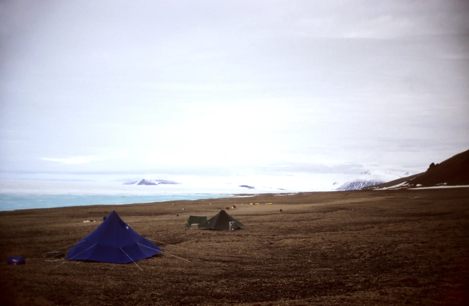
Two tents of a field camp in Quttinirpaaq National Park on brown tundra, the white expanse of the ice shelf and distant mountains behind
Photo: Matti&Keti ↗ · CC BY-SA 4.0 ↗

Water · Island

Ward Hunt Island

The island on the northern edge of the park, starting point for North Pole expeditions and the site of research camps for decades. There is an emergency radio here too.

The island on the northern edge of the park: research camp, emergency radio, and for some the last stop before the pack ice.

Coordinates
83.099573, −74.208319
Location
North coast of Ellesmere Island
Research
long-term studies for decades
North Pole
starting point; notification in Iqaluit required
Phone Iqaluit
867-975-4673
Emergency radio
available in the building

Open in OpenStreetMap ↗Location source ↗

83.09957, -74.20832

Locations verified from the linked original sources and OpenStreetMap. The map shows no trails or park boundaries; markers do not imply that access is permitted.

Map: © OpenStreetMap contributors, OpenMapTiles, OpenFreeMap. Elevation: Terrain Tiles (Mapzen, AWS Open Data); 3DEP, GMTED2010 and SRTM courtesy of the U.S. Geological Survey; EU-DEM (Copernicus, European Union); ETOPO1 (NOAA); ArcticDEM (NSF, DigitalGlobe); Geoscience Australia; Open Data Austria (DGM); Open Government Licence – Canada; INEGI; Land Information New Zealand; Kartverket; Environment Agency (UK).

Park photo: Photo: Ansgar Walk ↗ · CC BY-SA 2.5 ↗

Loading map …