


Water · Beach
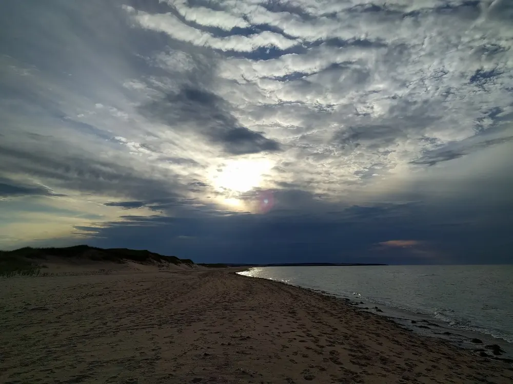
Cavendish Beach
Supervised main beach in the western section, surfguards 28 June to 4 September daily 10:00–18:00. Ramp, mobility mat and beach wheelchairs.
Open in OpenStreetMap ↗Location source ↗
46.50416, -63.44082

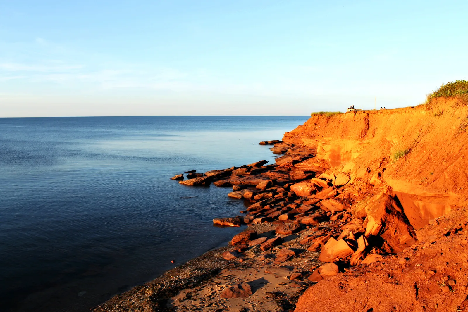
10 places with verified coordinates · 9 with photo
GetYourGuide
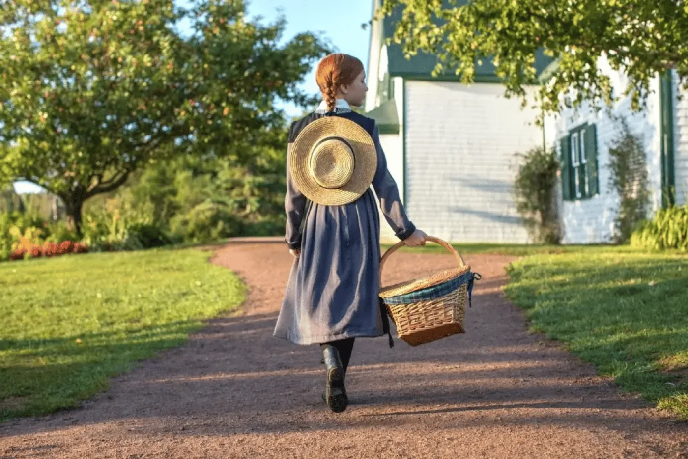
Charlottetown: Green Gables Shore half-day tour ↗18 reviews on GetYourGuidefrom €74.21as of 4 Oct
Prince Edward Tours kiosk in Founders' Hall, downtown Charlottetown; check in 15 minutes before the start.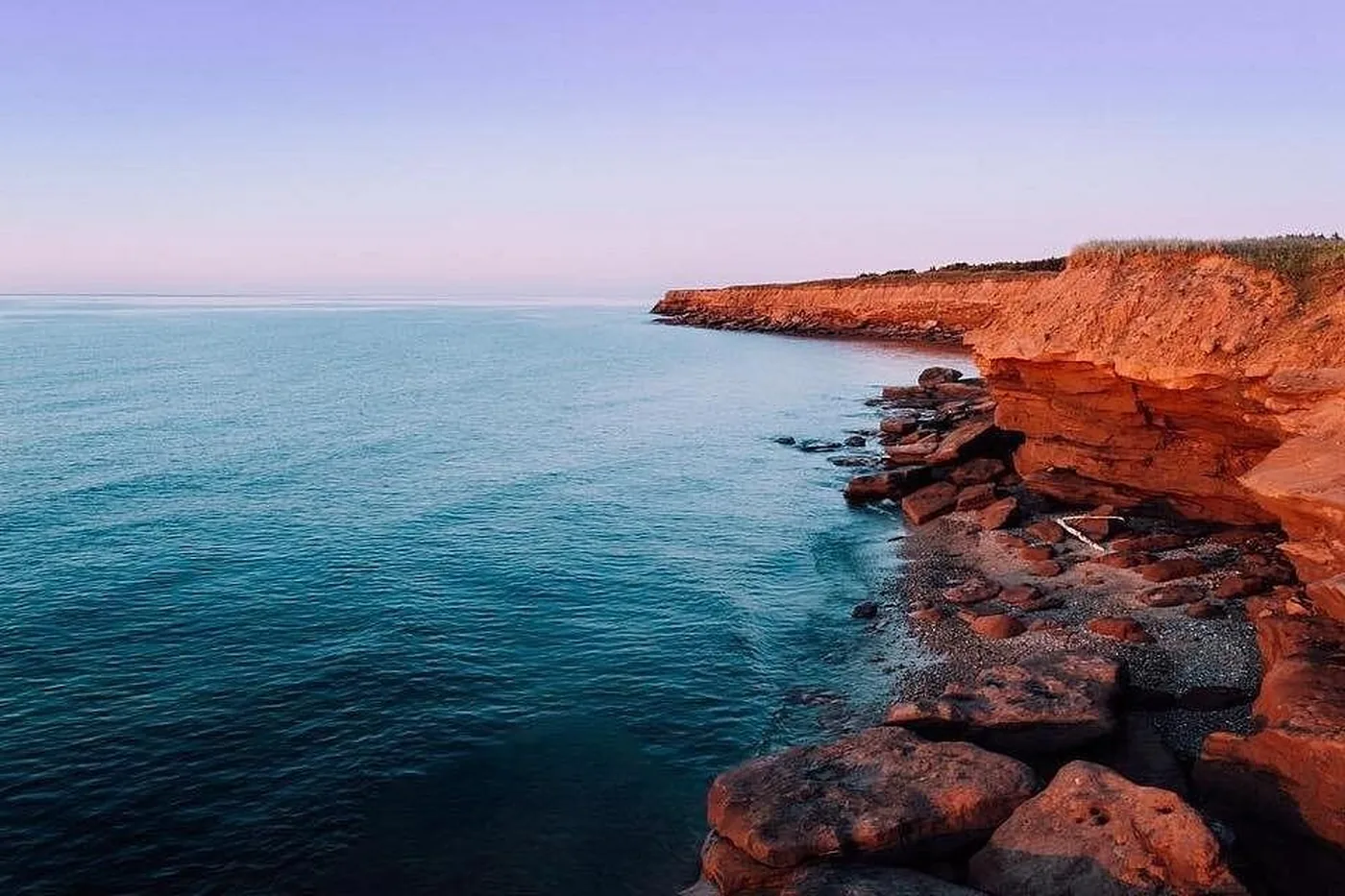
Viator
From Charlottetown: Green Gables, Terre Rouge and North Rustico ↗Pauley Tours kiosk in the front parking lot of the Charlottetown Cruise Ship Terminal, 1 Weymouth Street; do not use the lot to the right of the terminal.Evening · park authority · Parks Canada, Prince Edward Island National Park
A’Tuken: Mi’kmaq stories, songs and dances at Cavendish Campground ↗Cavendish Campground in the Cavendish–North Rustico section.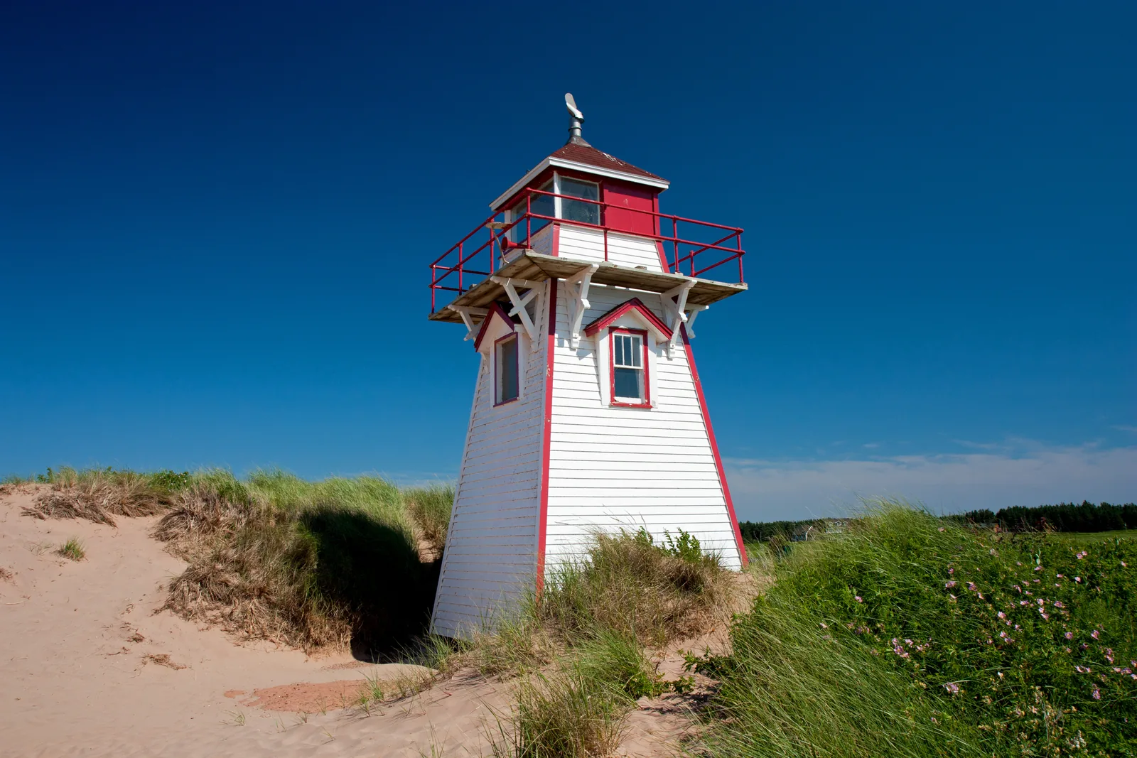
Beach · park authority · Parks Canada, Prince Edward Island National Park
Beach Hut: park authority nature station at Cavendish Beach and Brackley Beach ↗Cavendish Beach in the Cavendish–North Rustico section or Brackley Beach in the Brackley–Dalvay section, 17 kilometres north of Charlottetown.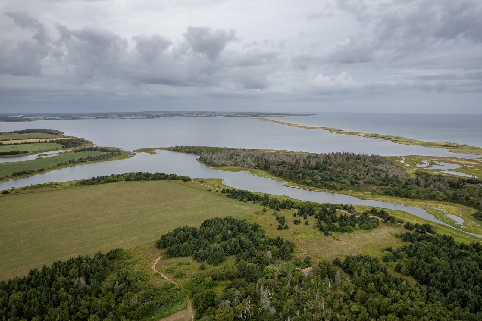
GetYourGuide
Charlottetown: helicopter tour of PEI over the north shore ↗4 reviews on GetYourGuidefrom €92.91as of 4 Oct
Wooden hut with a sign near the cruise terminal in Charlottetown harbour.Ad · partner links: we may earn a commission if you book – at no extra cost to you. Thank you for supporting the atlas. Offer details checked 2 Oct 2026; dates and prices with the provider.
Water · Beach
Supervised main beach in the western section, surfguards 28 June to 4 September daily 10:00–18:00. Ramp, mobility mat and beach wheelchairs.
Open in OpenStreetMap ↗Location source ↗
46.50416, -63.44082
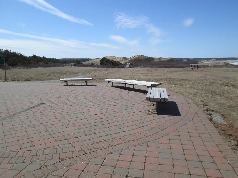
Viewpoint · Viewpoint
Viewpoint near Cavendish and start of the Gulf Shore Way West, 8.5 kilometres paved to North Rustico.
Open in OpenStreetMap ↗Location source ↗
46.49955, -63.38333
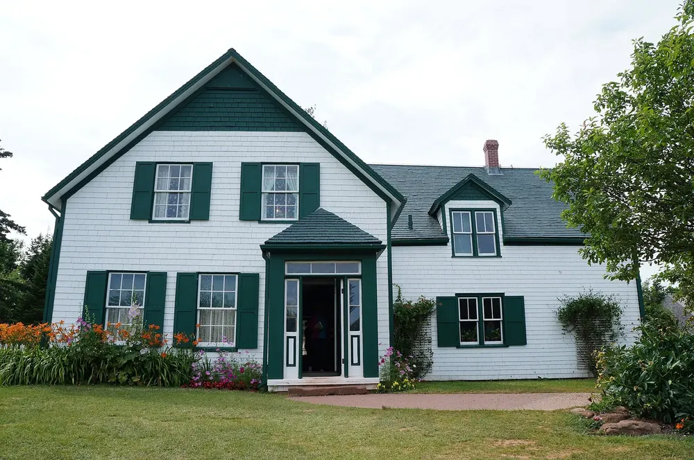
History · Historic site
The farm behind “Anne of Green Gables”. Sells park passes; starting point of the Haunted Wood and Balsam Hollow loops (admission).
Open in OpenStreetMap ↗Location source ↗
46.48874, -63.38211
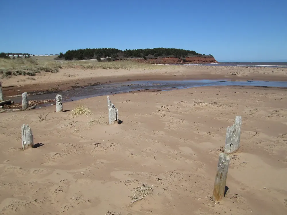
Water · Beach
Eastern end of the Cavendish–North Rustico section; access via stairs or across the sand.
Open in OpenStreetMap ↗Location source ↗
46.45874, -63.29277
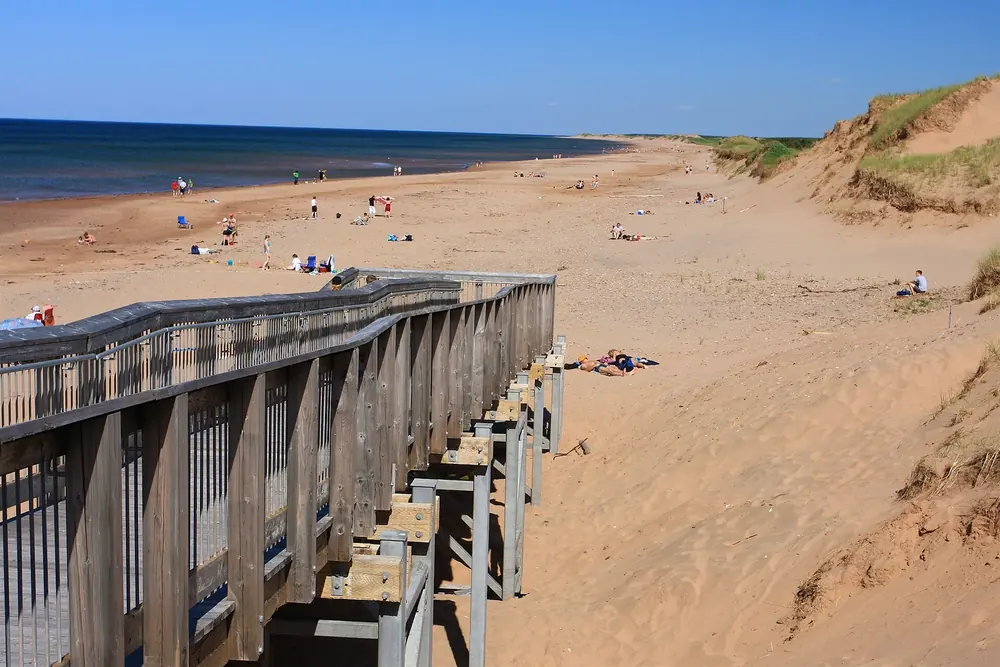
Water · Beach
Supervised beach 17 kilometres north of Charlottetown, surfguards 28 June to 4 September. Starting point for the Gulf Shore Way East and the trails on Robinsons Island.
Open in OpenStreetMap ↗Location source ↗
46.43107, -63.20876
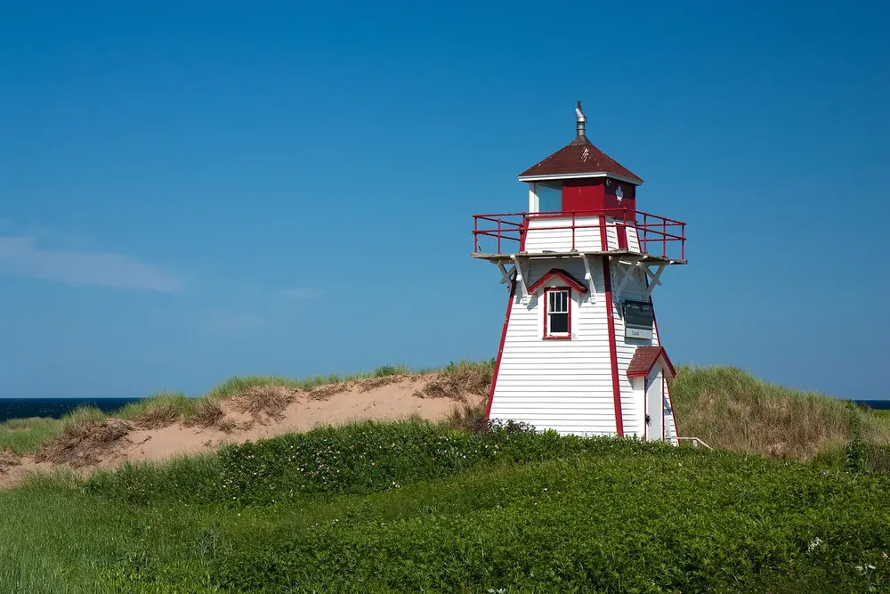
Nature · Lighthouse
Popular viewpoint with beach access on the Gulf Shore Parkway; limited parking.
Open in OpenStreetMap ↗Location source ↗
46.43005, -63.14312
Where to stay · Campground
Over 100 sites, eight oTENTiks and equipped campsites; open 10 June to 21 September.
Open in OpenStreetMap ↗Location source ↗
46.42174, -63.10978
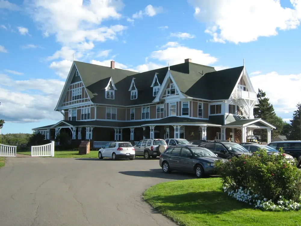
History · Historic site
Former summer home, now a national historic site. Grounds open all year; June to end of September a hotel with a restaurant for day visitors.
Open in OpenStreetMap ↗Location source ↗
46.41470, -63.07332
Arrival · Visitor centre
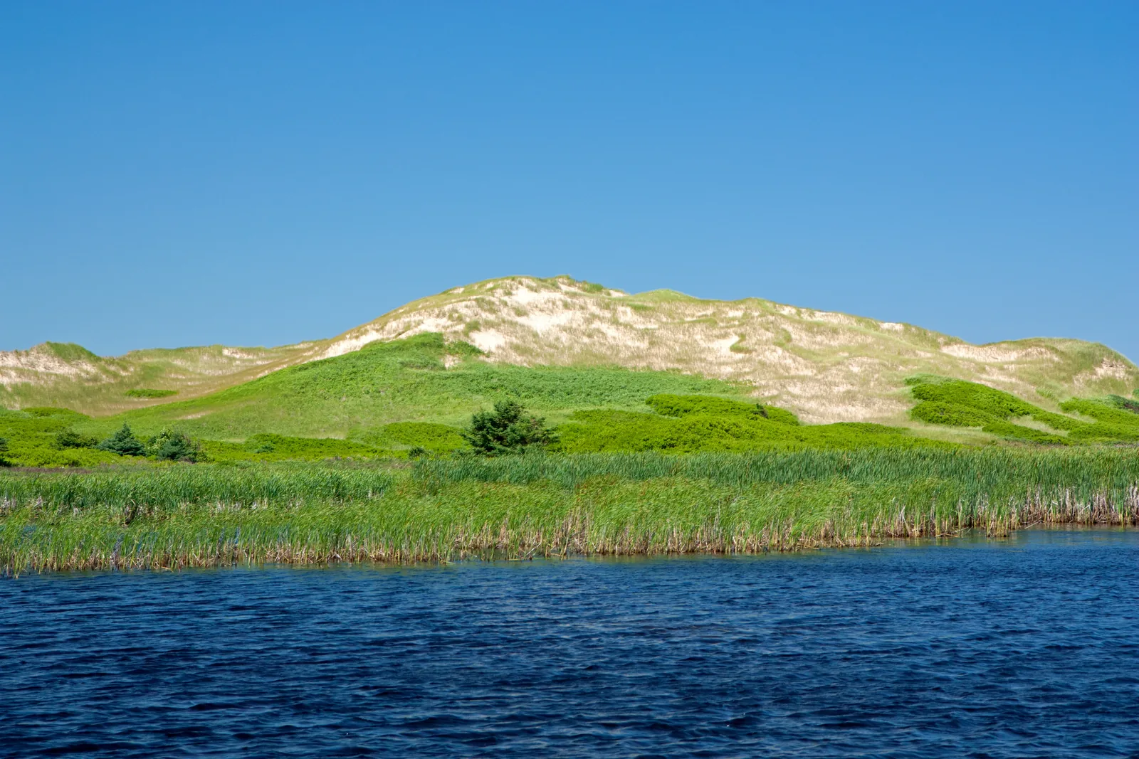
Over 20 exhibits on the dunes and 10,000 years of settlement. In 2026 open daily 9:00–17:00 from 8 June to 7 September.
Less visited, but the highlight for landscape lovers: the island’s largest sand dunes and 10,000 years of settlement history.
Open in OpenStreetMap ↗Location source ↗
46.44468, -62.68153
Trails · Hiking trail
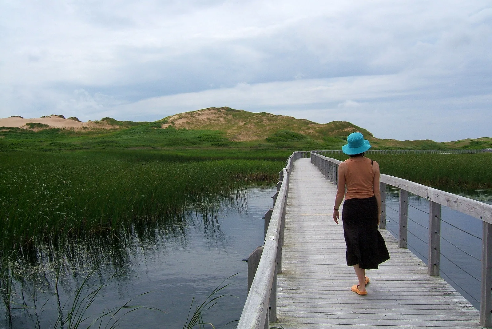
4.6 kilometres (2.9 mi), out and back or as a loop; leads to the parabolic dunes and to Greenwich Dunes Beach.
A little heap of sand behind washed-up seaweed becomes a dune with some marram grass, and ten steps kill the plant again.
Open in OpenStreetMap ↗Location source ↗
46.44825, -62.70973
Loading map …