National Parks Atlas
To the park
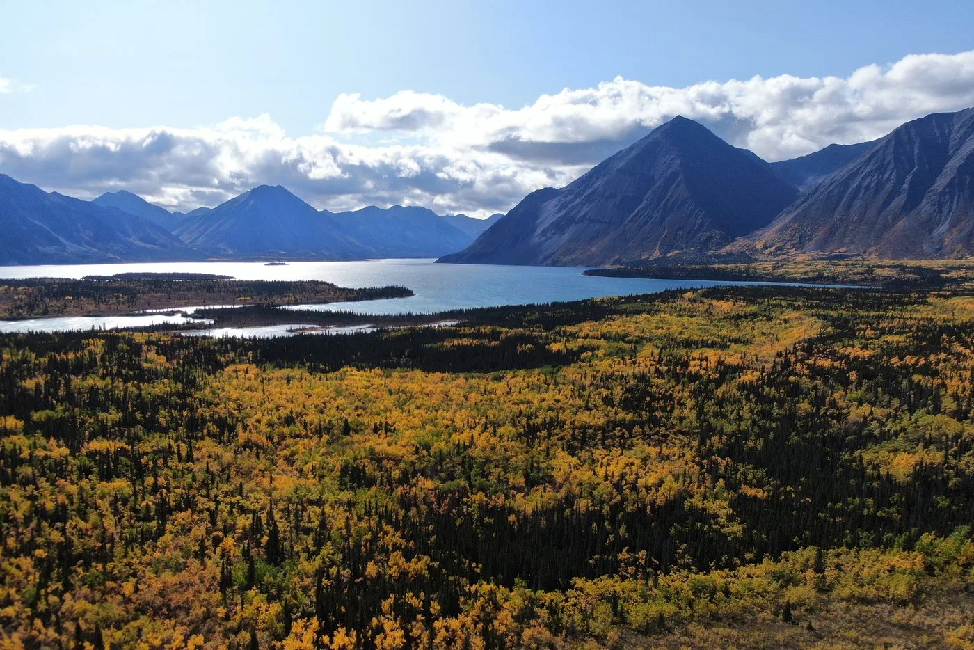
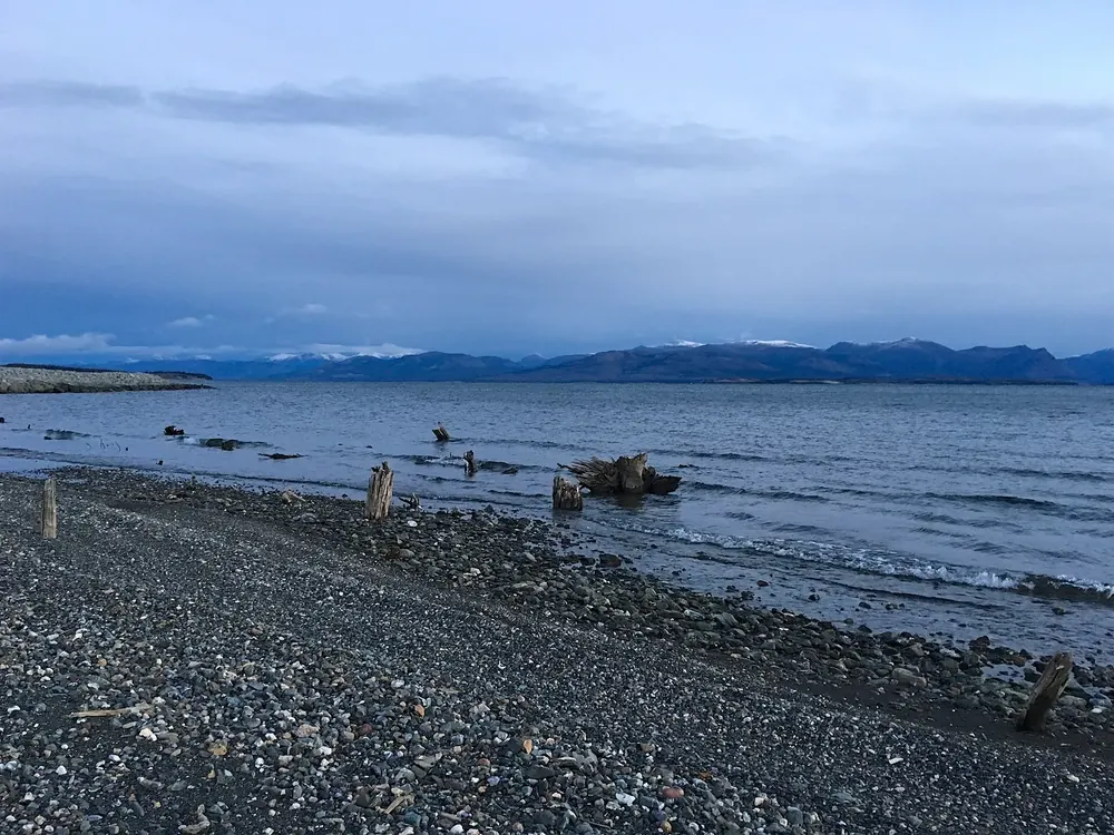
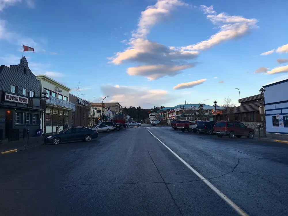
Evening light on Kathleen Lake in Kluane National Park, waves on the gravel shore, behind it the steep flanks of the Kluane Range

Kluane National Park: map

8 places with verified coordinates · 7 with photo

Offers in the park · 3

Ad · partner links: we may earn a commission if you book – at no extra cost to you. Thank you for supporting the atlas. Offer details checked 2 Oct 2026; dates and prices with the provider.

Mountains & rock

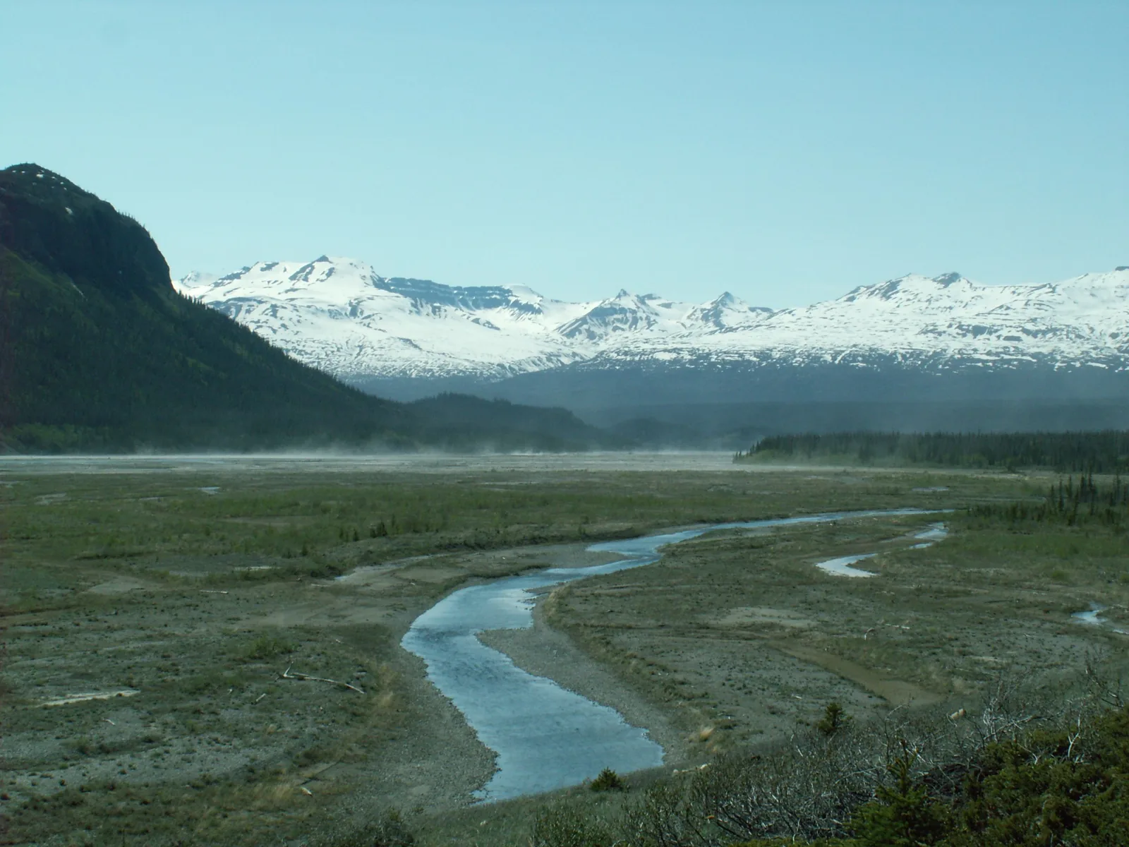
The braided Alsek River in Kluane National Park across a wide gravel plain, behind it a snow-covered mountain range in haze
Photo: Dgp38 ↗ · CC BY 3.0 ↗

Water · Lake and campground

Kathleen Lake

Mät'àtäna Män: the park authority’s only campground with 38 sites, day-use area, boat launch, Kokanee Trail and King's Throne Trail.

Mät'àtäna Män is where Kluane becomes tangible for ordinary travellers: mountains right behind the water, half a kilometre of boardwalk for everyone, and next to it the climb into a glacial cirque.

Location
A short drive south of Haines Junction on the Haines Highway.
Campground
38 sites, drinking water, firewood, bear-proof food lockers, pit toilets. No showers.
Season 2026
15 May to 20 September, 13:00.
Reservations
Some sites from 20 January 2026, 8:00 MST.
Kokanee Trail
0.5 km of boardwalk, wheelchair accessible, from the day-use area.
King's Throne Trail
5 km (3.1 mi) up into a cirque; beyond that to the summit only unmarked and unmaintained.
Price
30.00 CAD per site per night including firewood.

Open in OpenStreetMap ↗Location source ↗

60.57656, -137.28407

Arrival · Visitor centre

Thechàl Dhâl' Visitor Centre

In the 'Ä'äy Chù valley, an hour’s drive north of Haines Junction on the Alaska Highway. 20 May to 6 September daily 10:00–16:00, with a spotting scope for the Dall sheep.

Open in OpenStreetMap ↗Location source ↗

61.01375, -138.52704

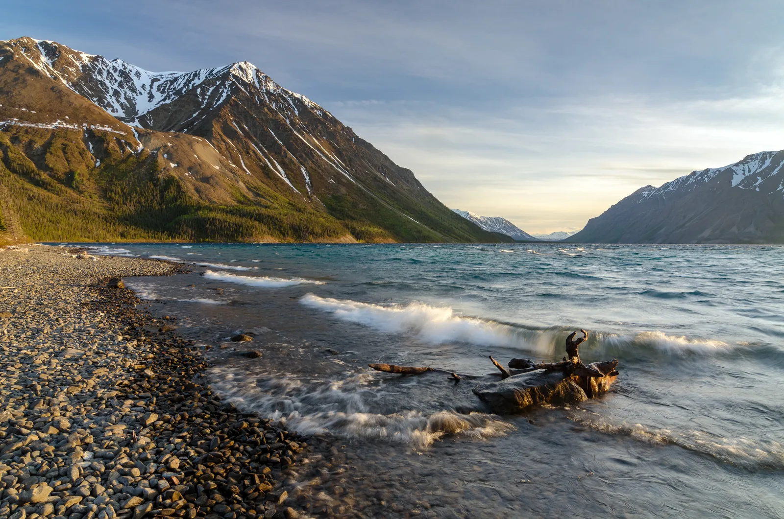
Main Street in Whitehorse in the evening sun: shops with wooden facades, parked cars and cumulus clouds
Photo: James Badger from Calgary, Canada ↗ · CC BY 2.0 ↗

Surroundings · City outside the park

Whitehorse

Capital of the Yukon, 160 km (99 mi) east of Haines Junction, with scheduled flights. Starting point for most trips to Kluane.

Guided from here · Ad

Partner links: we may earn a commission if you book – at no extra cost to you. Thank you for supporting the atlas. Dates and prices with the provider.

Open in OpenStreetMap ↗Location source ↗

60.72157, -135.05493

Locations verified from the linked original sources and OpenStreetMap. The map shows no trails or park boundaries; markers do not imply that access is permitted.

Map: © OpenStreetMap contributors, OpenMapTiles, OpenFreeMap. Elevation: Terrain Tiles (Mapzen, AWS Open Data); 3DEP, GMTED2010 and SRTM courtesy of the U.S. Geological Survey; EU-DEM (Copernicus, European Union); ETOPO1 (NOAA); ArcticDEM (NSF, DigitalGlobe); Geoscience Australia; Open Data Austria (DGM); Open Government Licence – Canada; INEGI; Land Information New Zealand; Kartverket; Environment Agency (UK).

Park photo: Photo: Jakub Fryš ↗ · CC BY-SA 4.0 ↗

Loading map …