National Parks Atlas
To the park
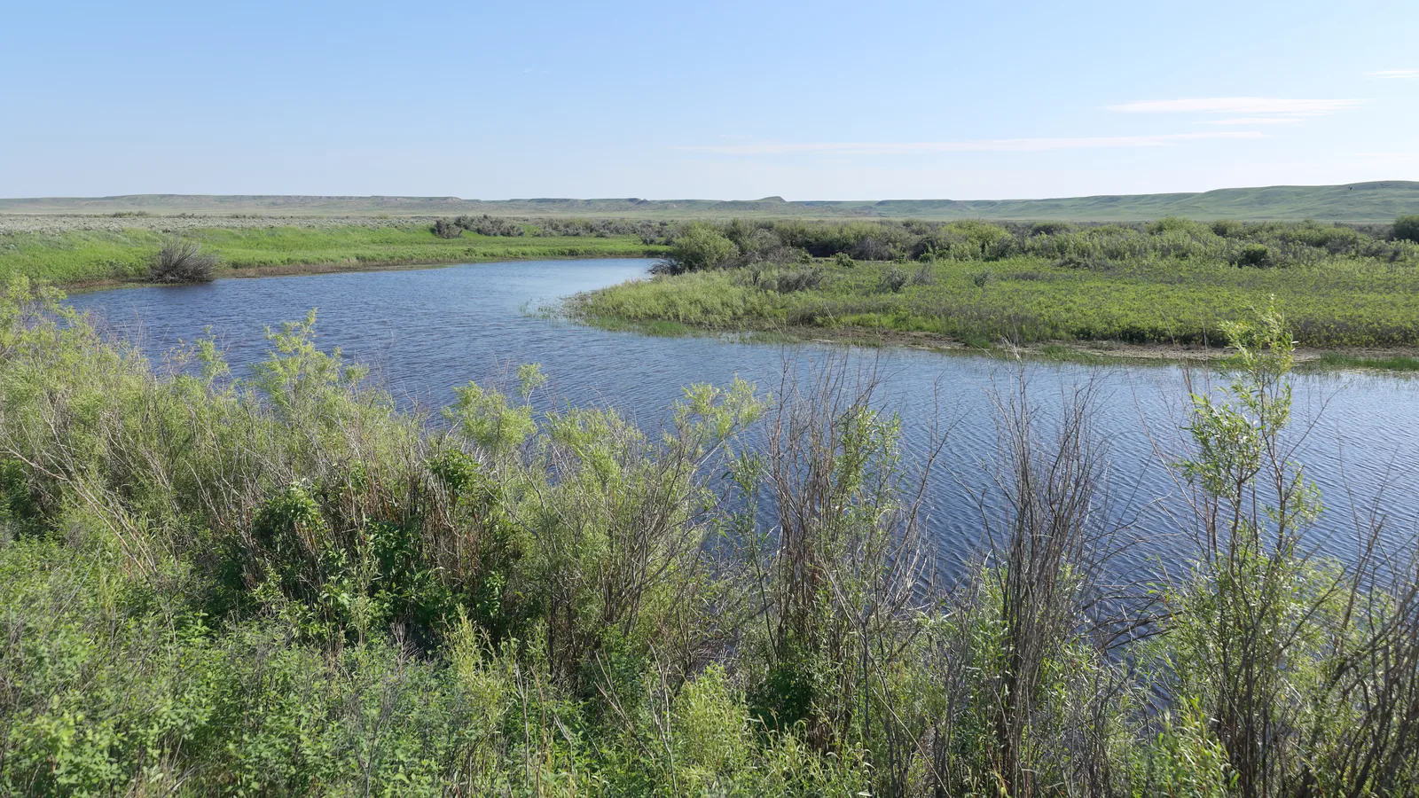
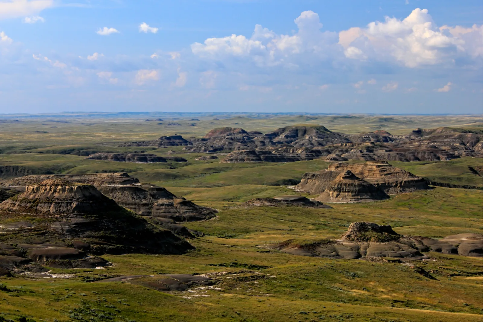
Layered badlands buttes in Grasslands National Park lie like islands in a green prairie, cumulus clouds above

Grasslands National Park: map

12 places with verified coordinates · 3 with photo

Guided walks in the park · 2

Park authority programmes without partner links. Details checked 2 Oct 2026; dates and prices with the provider.

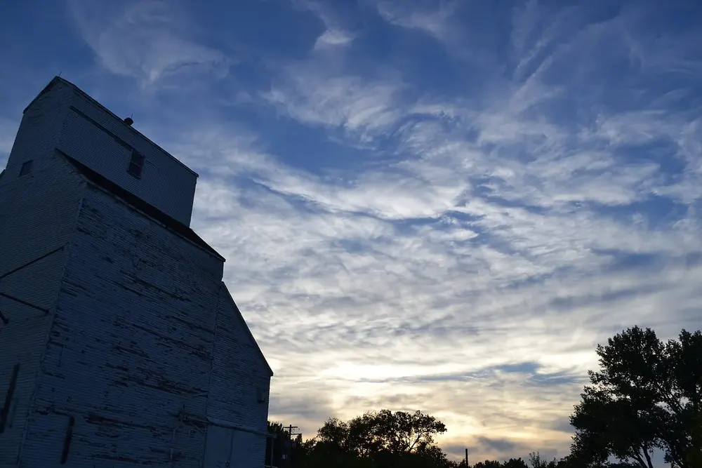
The old grain elevator of Val Marie as a dark silhouette against a dramatic evening sky with wispy cloudsSurroundings
Photo: Trixichick ↗ · CC BY-SA 3.0 ↗

Arrival · Visitor centre

Val Marie Visitor Centre

At the junction of Highway 4 and Centre Street in Val Marie, on the northern edge of the West Block. Here you find maps, road and trail conditions, admission, the shop and four electric vehicle charging points.

Open in OpenStreetMap ↗Location source ↗

49.24579, -107.73207

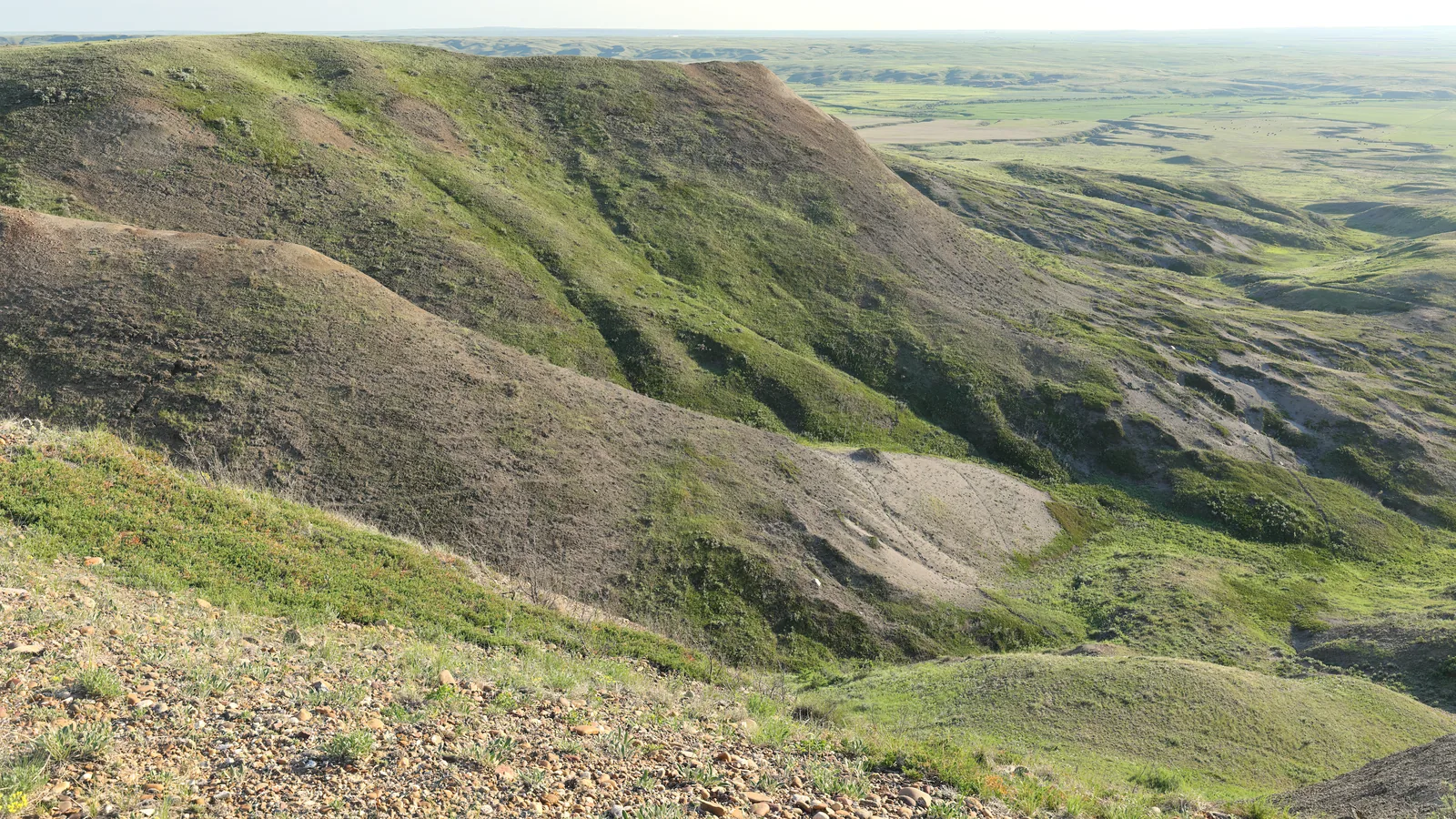
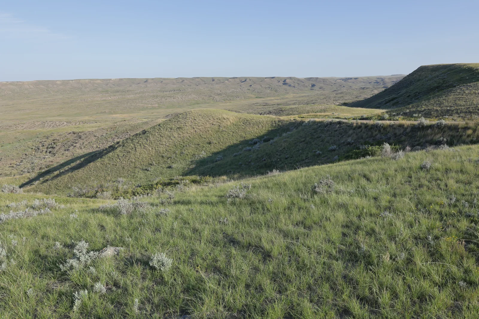
View from a hill in Grasslands National Park over green ridges and pale erosion gullies out into the flat prairie
Photo: Cephas ↗ · CC BY-SA 4.0 ↗

Trails · Trailhead

70 Mile / Eagle Butte

Trailhead for two short loops: Eagle Butte at two kilometres, easy, and 70 Mile Butte at two kilometres, difficult, with the view over the Frenchman River valley.

Two kilometres, one hour, and the view most people come to the West Block for.

Length
2 km loop
Time
1 to 2 hours
Difficulty
difficult
Start
branches off the Eagle Butte Trail
Access
5 km south of Val Marie, then 5 km of gravel
Connection
Bearpaw Sea Trail, 10 km one way

Open in OpenStreetMap ↗Location source ↗

49.20414, -107.66529

Nature · Day-use area

Two Trees

Picnic area with toilet and viewing scope. The Two Trees Trail (four kilometres) and the Riverwalk (three kilometres) start here. Also a good place for stargazing.

Open in OpenStreetMap ↗Location source ↗

49.18063, -107.68793

Where to stay · Campground

Frenchman Valley Campground

The campground at the heart of the West Block: 20 electrical sites and four oTENTiks, all reservable. Next door the Coulee Centre for shade and programmes.

Guided from here

Park authority programmes, no partner links. Dates on their website.

Open in OpenStreetMap ↗Location source ↗

49.15223, -107.50889

Nature · Day-use area · Red chairs

Belza Day Use Area

Picnic tables with a view of the valley, a toilet and the equestrian camping area. Red chairs stand here; the Broken Hills Trail starts at the access road.

Open in OpenStreetMap ↗Location source ↗

49.15309, -107.51318

Trails · Trail · Red chairs

Broken Hills Trail

Eleven-kilometre (6.8 mi) loop, difficult, four to five hours, one of the few places with an unbroken panoramic view over the prairie. Red chairs stand here too.

Open in OpenStreetMap ↗Location source ↗

49.15100, -107.57172

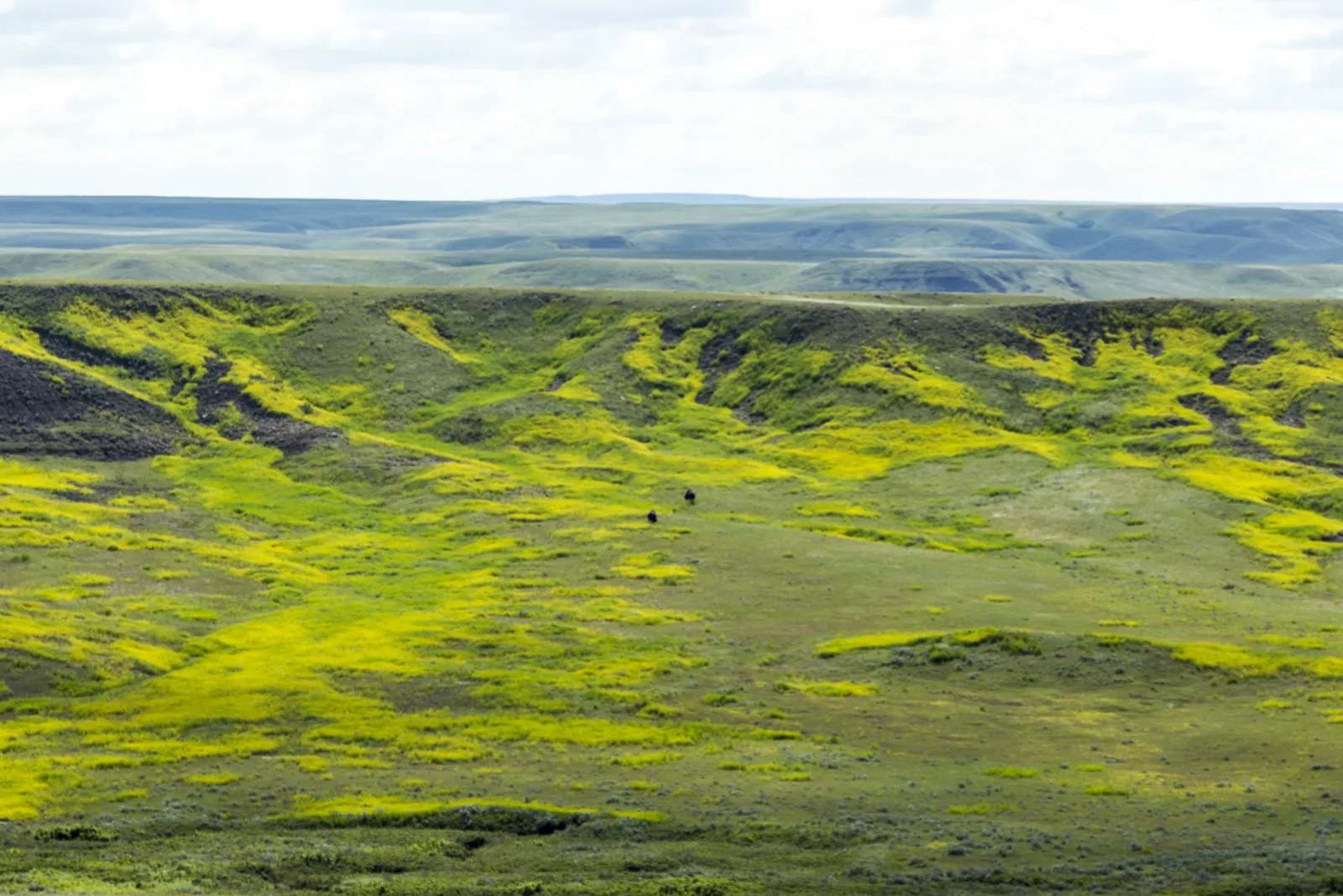
Wide green grassy hills in Grasslands National Park drop into a shallow valley, a long escarpment on the horizon under a clear sky
Photo: Cephas ↗ · CC BY-SA 4.0 ↗

Viewpoint · Viewpoint · Red chairs

Borderlands Lookout

Viewpoint on the Back Country Loop in the south of the West Block, close to the Montana border. The track is impassable when wet.

Viewpoint deep in the south of the West Block, reachable only via the Back Country Loop.

Coordinates
49.02425, −107.23656
Red chairs
yes
Access
Back Country Loop, dirt track
Warning
impassable when wet
Surroundings
camping and hiking allowed
Nearby
just short of the Montana border

Open in OpenStreetMap ↗Location source ↗

49.02425, -107.23656

Where to stay · Campground

Rock Creek Campground

The East Block campground: 24 electrical sites and eight oTENTiks, plus a kitchen shelter, communal fire pit and RV sani-dump. The trails into the badlands start here.

Open in OpenStreetMap ↗Location source ↗

49.07109, -106.52624

Trails · Scenic drive

Badlands Parkway

Eleven kilometres of single-lane pavement for two-way traffic, with 20 pull-outs and six viewpoints over the Rock Creek badlands. Open from 1 May to 31 October, daytime only.

Open in OpenStreetMap ↗Location source ↗

49.06598, -106.51992

Viewpoint · Viewpoint · Red chairs

Zahurksy Point

One of the viewpoints on the Badlands Parkway, with park authority red chairs.

Open in OpenStreetMap ↗Location source ↗

49.03725, -106.53018

Trails · Trail · Red chairs

Valley of 1000 Devils

Destination of a ten-kilometre (6.2 mi) trail, difficult, three to four hours. In the badlands it can be up to ten degrees hotter than elsewhere in the park.

Open in OpenStreetMap ↗Location source ↗

49.03998, -106.57872

Viewpoint · Viewpoint · Red chairs

Ta Sunka Watógla

The southernmost of the seven red chair sites, in the East Block near the border.

Open in OpenStreetMap ↗Location source ↗

49.01665, -106.55610

Locations verified from the linked original sources and OpenStreetMap. The map shows no trails or park boundaries; markers do not imply that access is permitted.

Map: © OpenStreetMap contributors, OpenMapTiles, OpenFreeMap. Elevation: Terrain Tiles (Mapzen, AWS Open Data); 3DEP, GMTED2010 and SRTM courtesy of the U.S. Geological Survey; EU-DEM (Copernicus, European Union); ETOPO1 (NOAA); ArcticDEM (NSF, DigitalGlobe); Geoscience Australia; Open Data Austria (DGM); Open Government Licence – Canada; INEGI; Land Information New Zealand; Kartverket; Environment Agency (UK).

Park photo: Photo: Peter George ↗ · CC BY-SA 4.0 ↗

Loading map …