National Parks Atlas
To the park
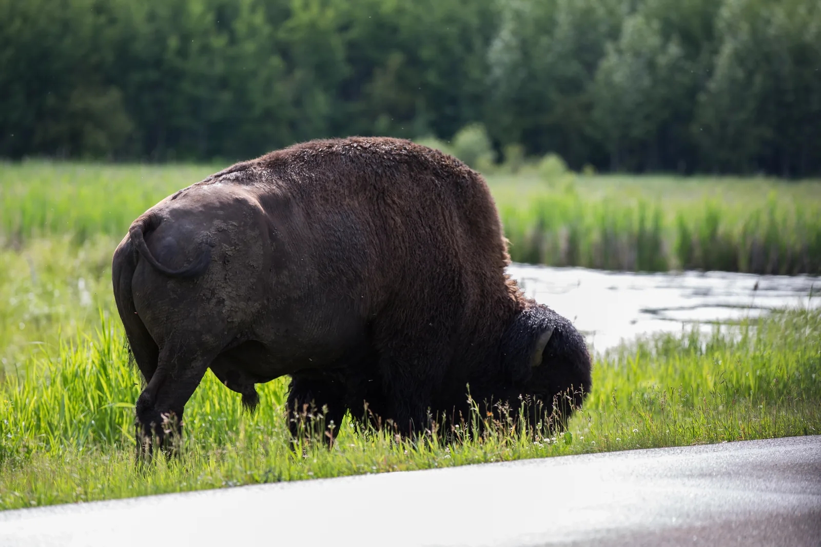
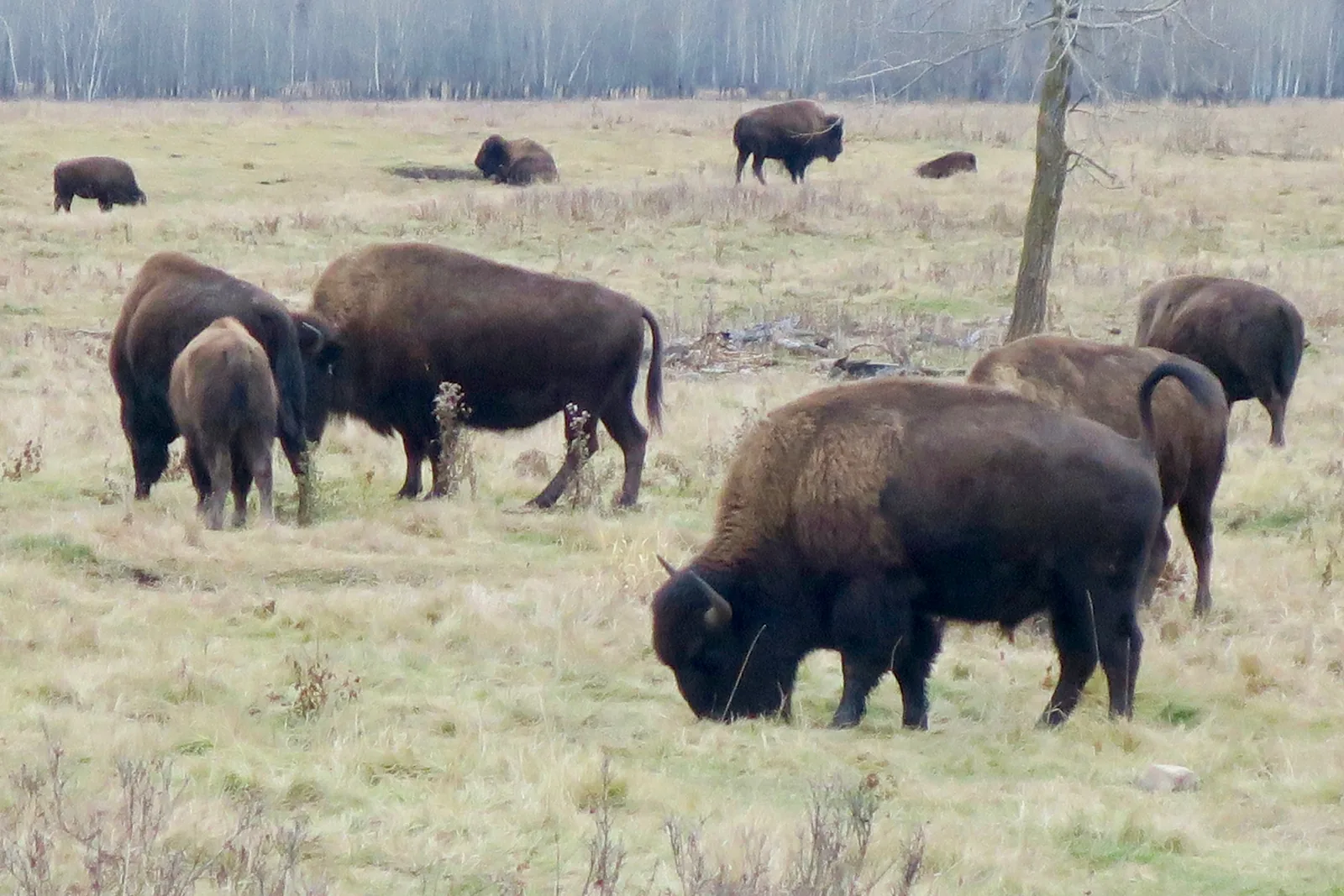
Several bison graze close together on a pale meadow between bare aspen trunks in Elk Island National Park, a powerful bull with lowered head in the foreground

Elk Island National Park: map

9 places with verified coordinates · 4 with photo

Guided walks in the park · 3

Park authority programmes without partner links. Details checked 2 Oct 2026; dates and prices with the provider.

Arrival · Visitor centre

Wahkotowin Visitor Information Centre

On Highway 16 at the south entrance, open all year. Coordinates published by the park authority. Since 2019 the exhibition includes the Star Blanket.

Open in OpenStreetMap ↗Location source ↗

53.57879, -112.83832

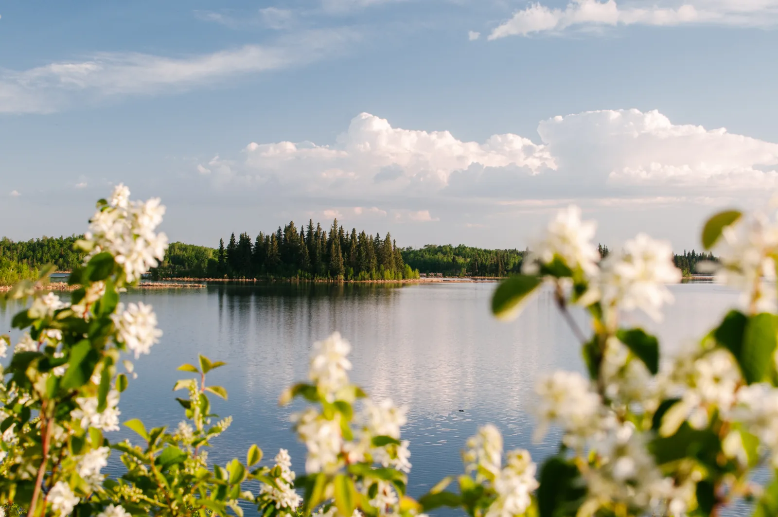
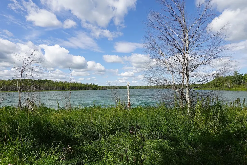
Evening light in Elk Island National Park over the glassy Astotin Lake with a forested island, white-flowering branches in the foreground
Photo: Ezra Comeau ↗ · CC BY-SA 4.0 ↗

Water · Lake

Astotin Lake

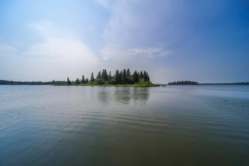
Lake with several islands in the north of the park; canoes, kayaks and paddleboards for rent, motorboats prohibited.

The lake in the north is the park’s recreation area: beach, islands, boardwalk, and the site of the campground.

Paddling
canoe, kayak and paddleboard rental in the recreation area.
Motorboats
not allowed.
Boat launch
at the north end of the lake.
Living Waters
400 m boardwalk over the water.
Safety
shores are not supervised; life jacket recommended.
Next door
beach, playground, theatre and campground.

Guided from here

Park authority programmes, no partner links. Dates on their website.

Open in OpenStreetMap ↗Location source ↗

53.67991, -112.86195

Trails · Boardwalk

Living Waters Boardwalk

A 400-metre loop on the water of Astotin Lake, with information panels; good for families with small children.

Open in OpenStreetMap ↗Location source ↗

53.67394, -112.83151

Water · Lake and hiking trail

Moss Lake

Two linked loops of 4.8 and 12.6 kilometres through mixed forest; good for beavers, waterfowl, elk and bison.

Open in OpenStreetMap ↗Location source ↗

53.65491, -112.82469

Where to stay · Backcountry tent site

Oster Lake

Tent site reachable only on foot, 15.00 CAD per person per night.

Open in OpenStreetMap ↗Location source ↗

53.62781, -112.91381

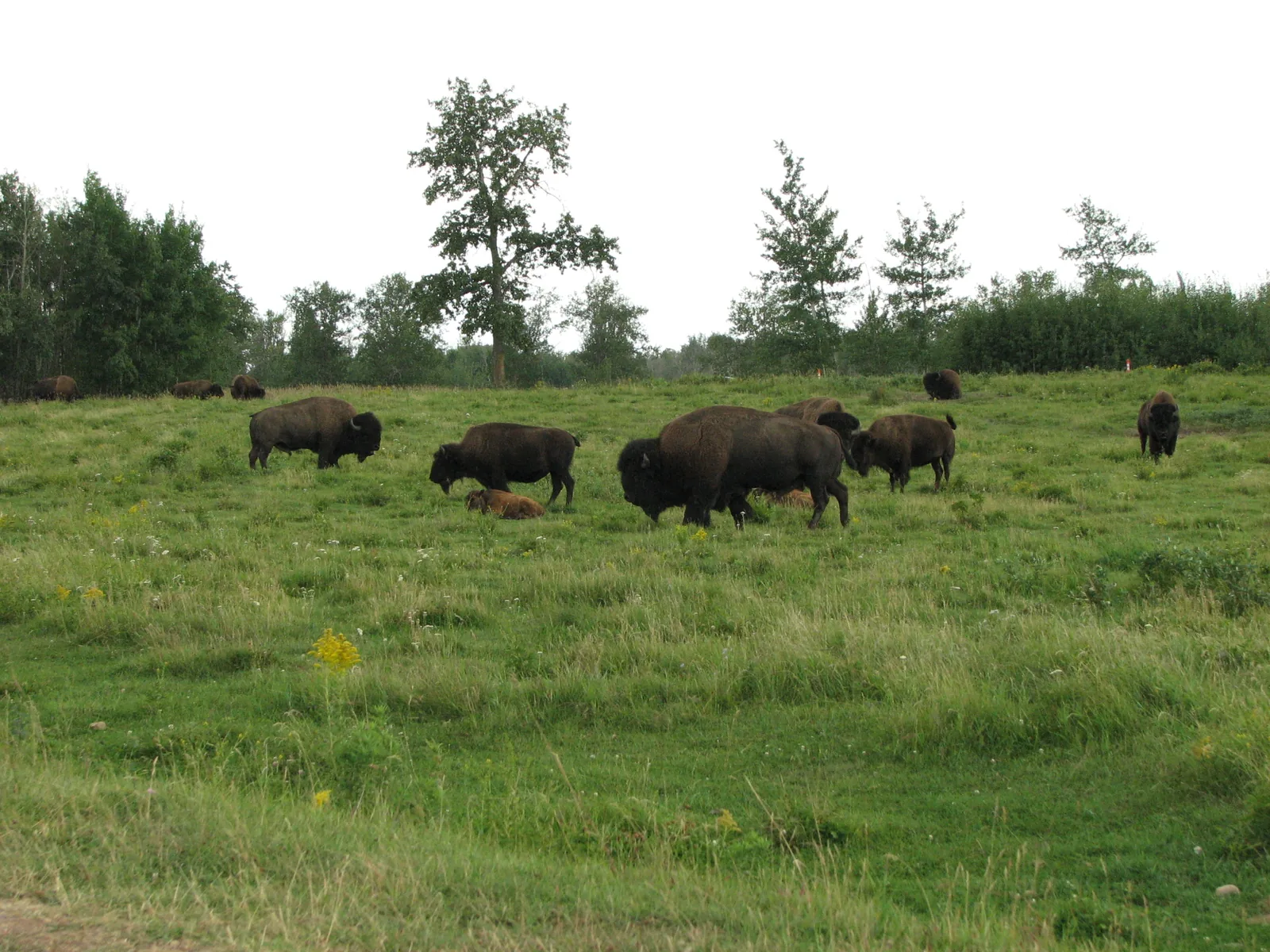
A herd of plains bison grazes scattered across a wide green meadow in Elk Island National Park, a row of leafy trees behind under a grey sky
Photo: ceasol ↗ · CC BY-SA 2.0 ↗

Trails · Road

Bison Loop Road

Short loop south of Highway 16 in the wood bison area.

Within a single lifetime, North America’s bison shrank from tens of millions to fewer than a thousand animals. Elk Island is one of the places where they survived.

1907–1912
more than 700 bison of the Pablo-Allard herd arrived by train.
1909
about 40 animals stayed behind, the founders of today’s herd.
1965
wood bison from a newly discovered herd were added.
1972
both herds declared disease-free and free of cattle genes.
Today
Elk Island supplies animals to conservation projects and First Nations.
Distance
100 metres, even in the car; watch for warning signs.

Open in OpenStreetMap ↗Location source ↗

53.59625, -112.83681

Locations verified from the linked original sources and OpenStreetMap. The map shows no trails or park boundaries; markers do not imply that access is permitted.

Map: © OpenStreetMap contributors, OpenMapTiles, OpenFreeMap. Elevation: Terrain Tiles (Mapzen, AWS Open Data); 3DEP, GMTED2010 and SRTM courtesy of the U.S. Geological Survey; EU-DEM (Copernicus, European Union); ETOPO1 (NOAA); ArcticDEM (NSF, DigitalGlobe); Geoscience Australia; Open Data Austria (DGM); Open Government Licence – Canada; INEGI; Land Information New Zealand; Kartverket; Environment Agency (UK).

Park photo: Photo: Natulive Canada ↗ · CC BY-SA 4.0 ↗

Loading map …