


 Surroundings
Arrival · Visitor centre
Chéticamp Visitor Centre
Western entrance. Coordinates published by the park authority. Open mid-May to 25 October, with the Le Nique nature bookshop.
Open in OpenStreetMap ↗Location source ↗
46.64641, -60.95078

9 places with verified coordinates · 7 with photo
GetYourGuide
Highlands National Park: Cabot Trail tour ↗97 reviews on GetYourGuidefrom €119.93as of 4 Oct
At the cruise dock in Sydney: at the main dock on the left after security, at the Liberty Dock at the end of the dock; guide in a red jacket with a Blackwood Tours sign, half an hour after the ship docks.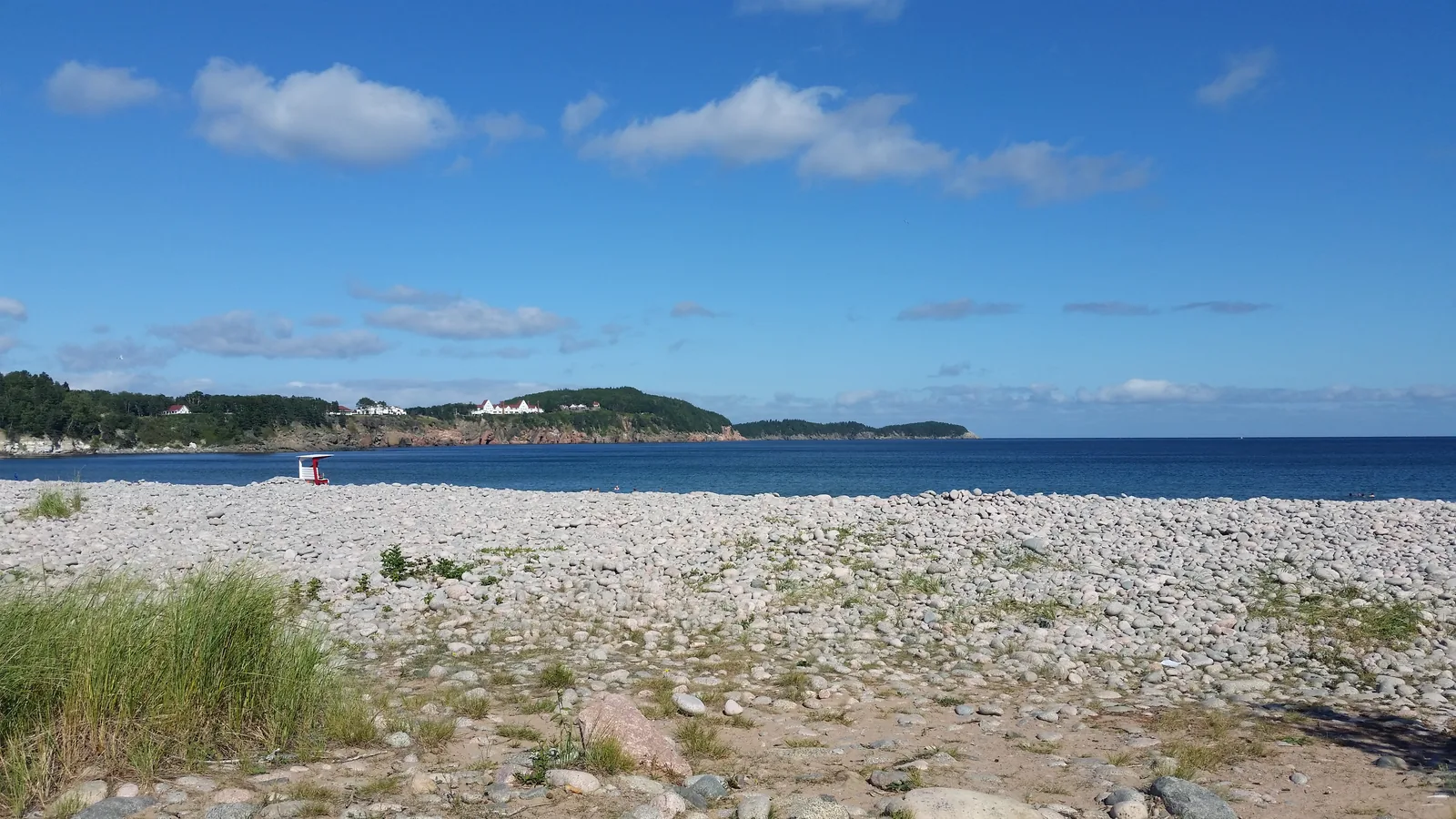
GetYourGuide
Cabot Trail & Cape Breton Highlands tour ↗8 reviews on GetYourGuidefrom €94.78as of 4 Oct
Pickup in Sydney included; the operator confirms the location when you book.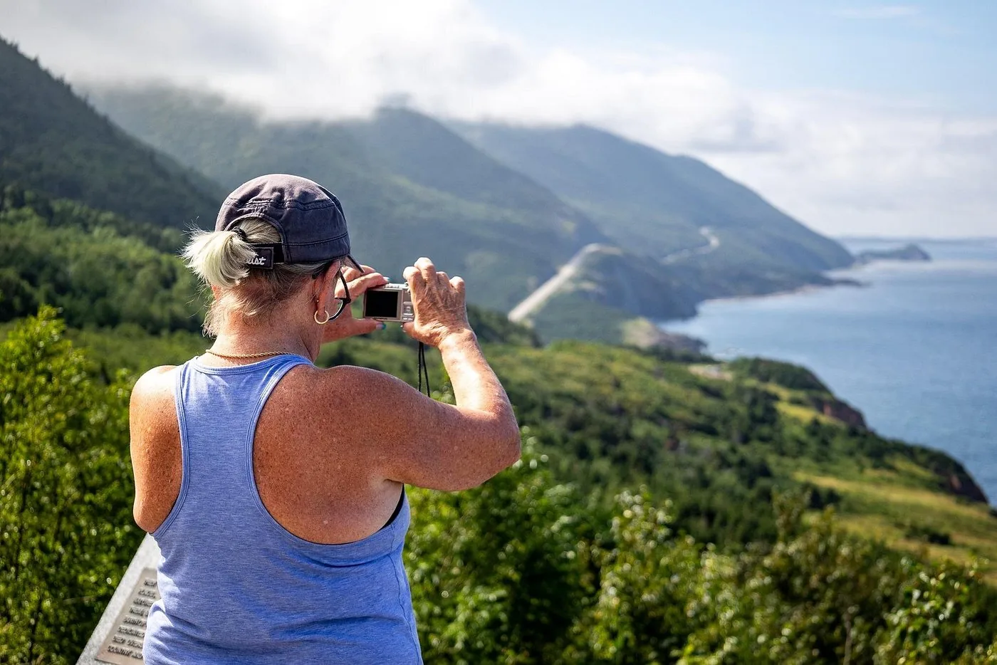
Viator
From Baddeck: the whole Cabot Trail through the national park ↗Parking lot of the visitor information centre in Baddeck, next to Tom's Pizza; according to the operator, Baddeck is one hour from Sydney and four hours from Halifax.Park authority programme · sunset · Cape Breton Highlands park authority (Parks Canada)
Skyline Trail sunset hike with the park authority ↗Skyline Trail parking lot (19625 Cabot Trail, Chéticamp), at the gate and sign at the turnaround end of the parking lot; starts two hours before sunset, so the time shifts over the season.Ad · partner links: we may earn a commission if you book – at no extra cost to you. Thank you for supporting the atlas. Offer details checked 2 Oct 2026; dates and prices with the provider.
SurroundingsArrival · Visitor centre
Western entrance. Coordinates published by the park authority. Open mid-May to 25 October, with the Le Nique nature bookshop.
Open in OpenStreetMap ↗Location source ↗
46.64641, -60.95078
 Surroundings
Arrival · Visitor centre
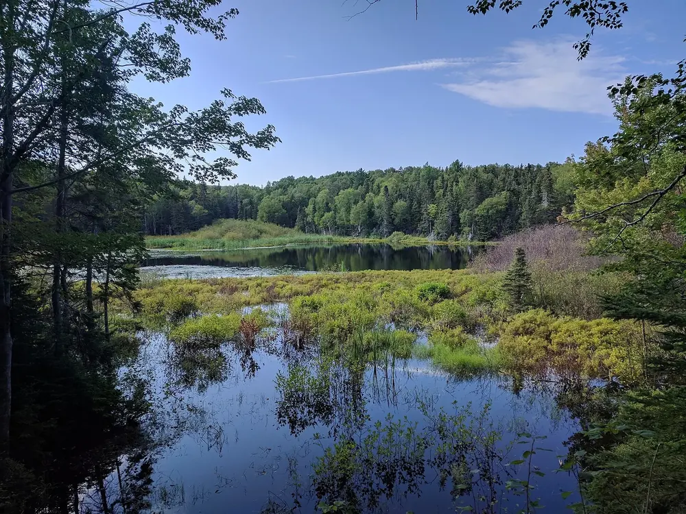
Eastern entrance, opened in 2014. Coordinates published by the park authority. Freshwater Lake with a lookoff behind it.
Open in OpenStreetMap ↗Location source ↗
46.64468, -60.40337
Trails · Hiking trail
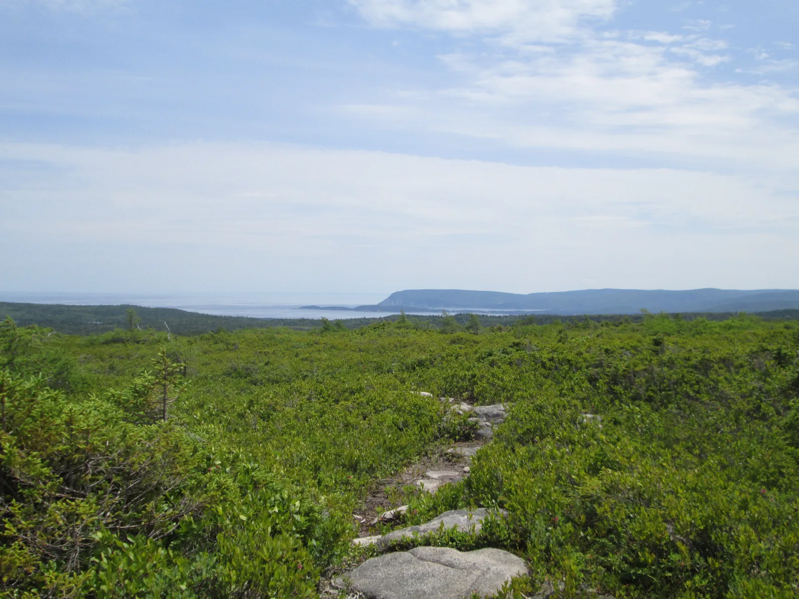
6.5 km (4 mi) there and back or 8.2 km (5.1 mi) as a loop, to the viewing boardwalk above the Atlantic. From 26 June to 25 October 2026 only with a reserved parking space; about fifty spaces.
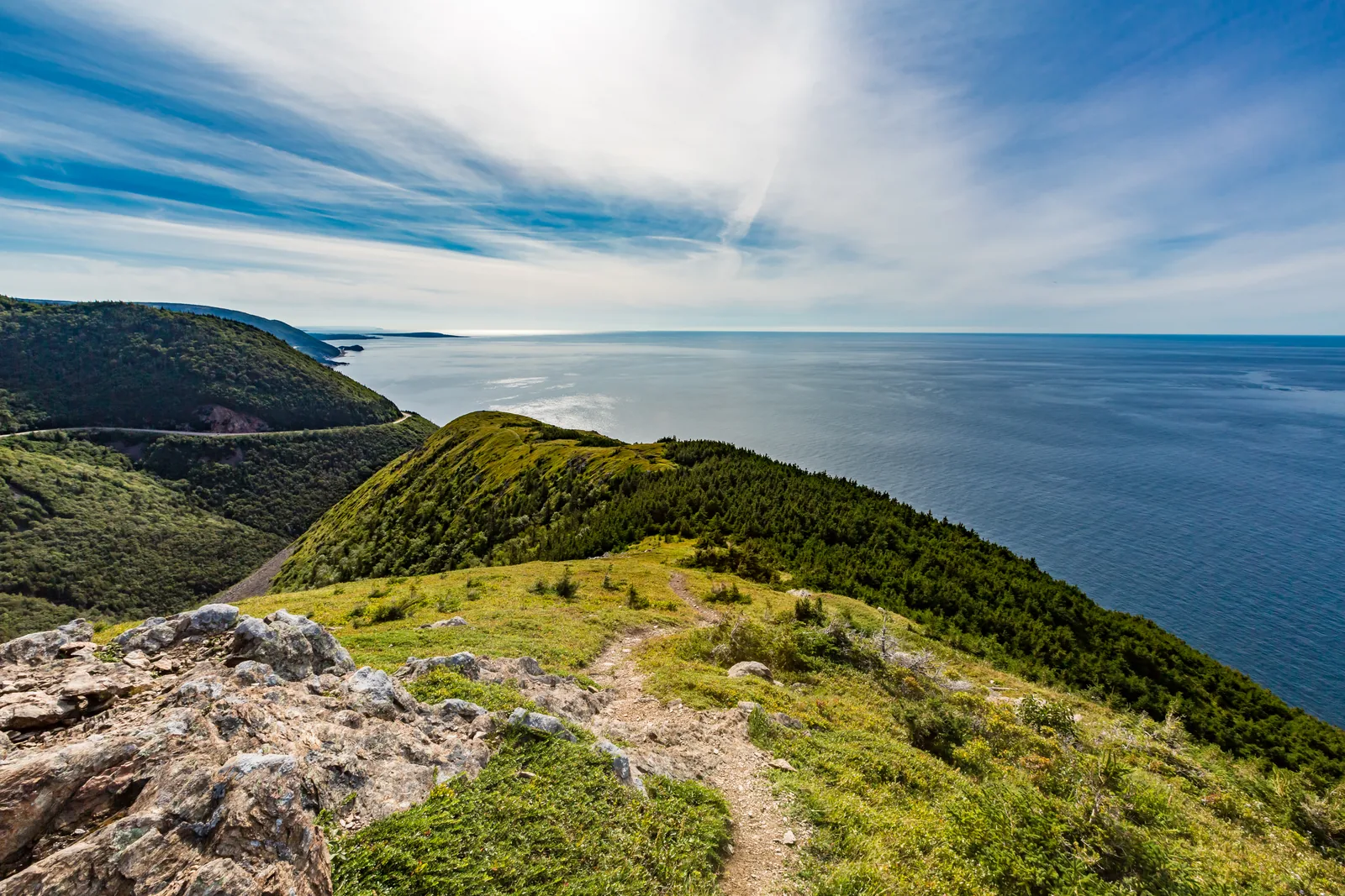
A ridge that ends on a wooden boardwalk above the Atlantic, and since 2026 the only place in the park where you have to book a parking space.
Open in OpenStreetMap ↗Location source ↗
46.75691, -60.89744
Trails · Short trail
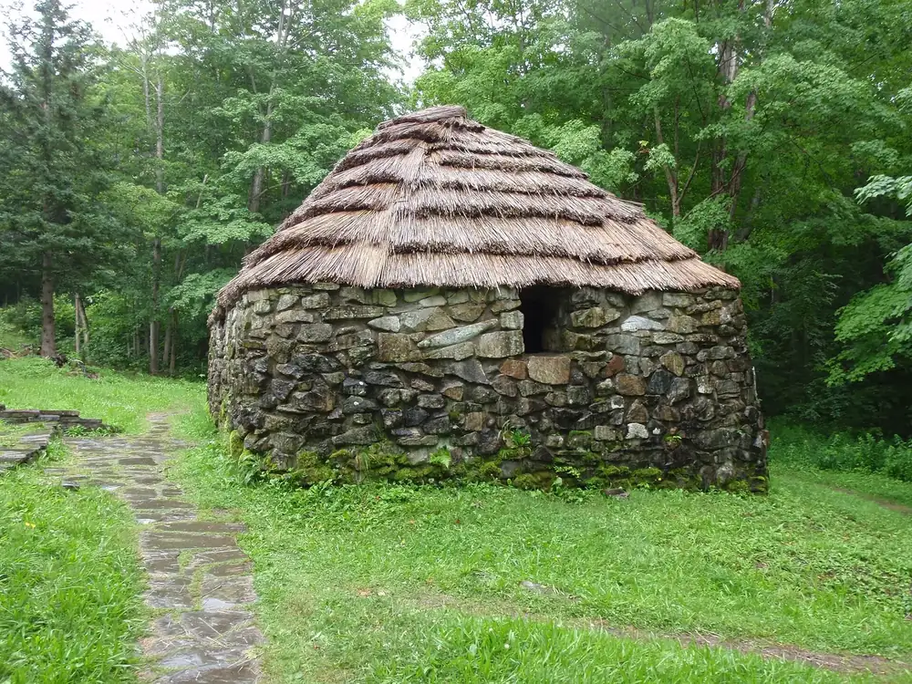
Short trail through a stand of 350-year-old sugar maples, inland between the two entrances.
Open in OpenStreetMap ↗Location source ↗
46.80949, -60.73100
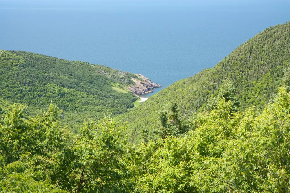
Where to stay · Backcountry campground
335 metres (1,099 ft) below MacKenzie Mountain; once a fishing village, today the park’s only backcountry campground. Registration mandatory, bring your own stove and drinking water.
Open in OpenStreetMap ↗Location source ↗
46.79718, -60.87819
Where to stay · Campground
At the western entrance, with showers, electrical and fully serviced sites and oTENTiks.
Open in OpenStreetMap ↗Location source ↗
46.64924, -60.95420
Where to stay · Campground
The large campground on the east side, with showers, fully serviced sites and oTENTiks.
Open in OpenStreetMap ↗Location source ↗
46.71131, -60.35924
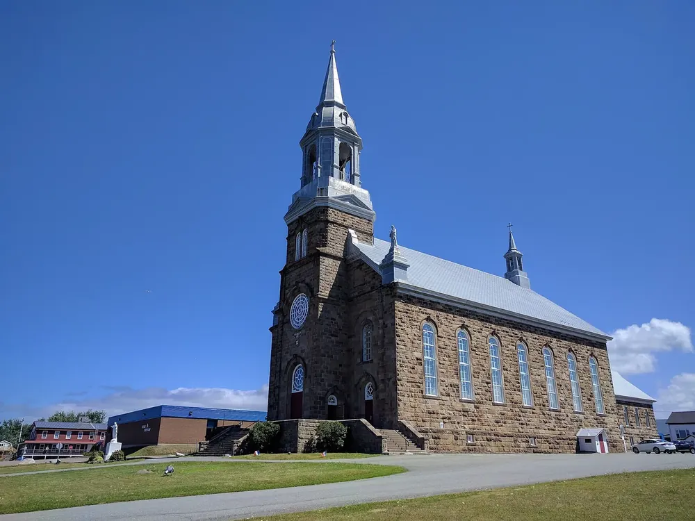
Surroundings · Community outside the park
Acadian village at the western park entrance, outside the park boundary. Accommodation and supplies.
Open in OpenStreetMap ↗Location source ↗
46.62586, -61.01574
Surroundings · Community outside the park
Community at the eastern park entrance, outside the park boundary. Accommodation, beach and supplies.
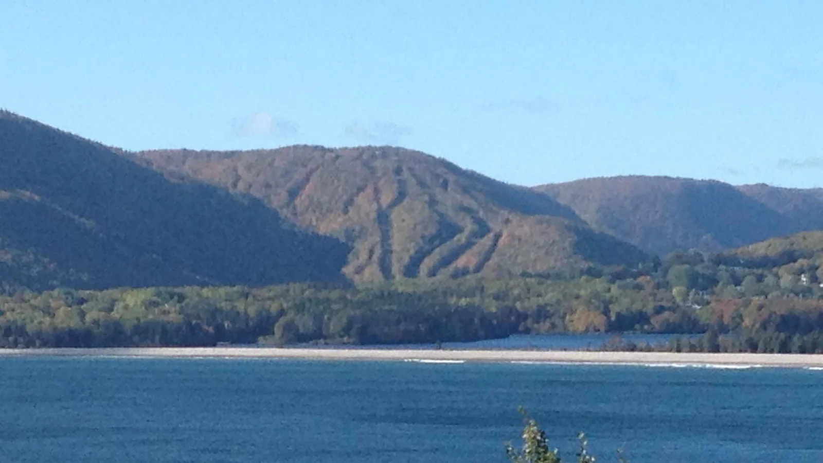
The eastern entrance: visitor centre, beach and a lake with a lookoff right behind it.
Open in OpenStreetMap ↗Location source ↗
46.69190, -60.36755
Loading map …