All places
Parks Canada Visitor Centre Chi sin tib dek Rd, Tobermory. Coordinates published by the park authority itself. Parking first come, first served; no access to the Grotto from here.
Add to your Bruce Peninsula National Park visit Open in OpenStreetMap ↗ Location source ↗
45.25741, -81.65563
All places Photo: Robert Taylor from Stirling, ON, Canada ↗ · CC BY 2.0 ↗
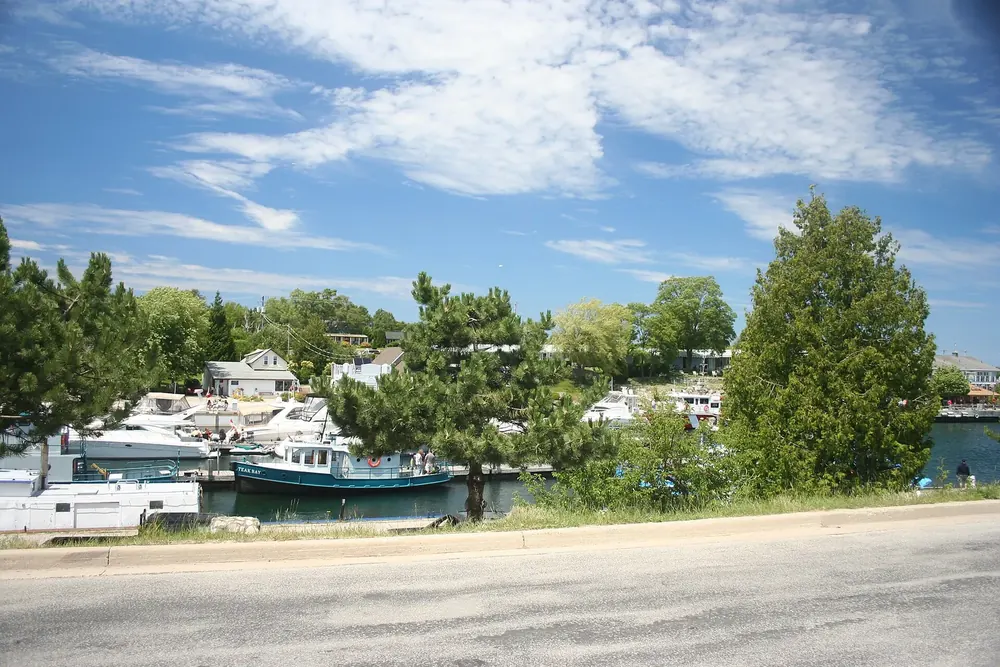
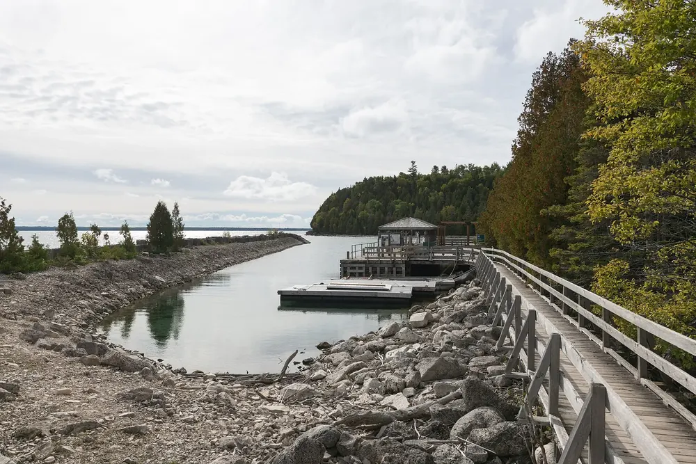
Tobermory Village at the northern tip of the peninsula, outside the park. Ferry port of the MS Chi-Cheemaun and departure point for boats to Flowerpot Island.
Guided from here · Ad
Partner links: we may earn a commission if you book – at no extra cost to you. Thank you for supporting the atlas. Dates and prices with the provider.
Add to your Bruce Peninsula National Park visit Open in OpenStreetMap ↗ Location source ↗
45.25336, -81.66501
All places Photo: VictoriardPC ↗ · CC BY-SA 4.0 ↗
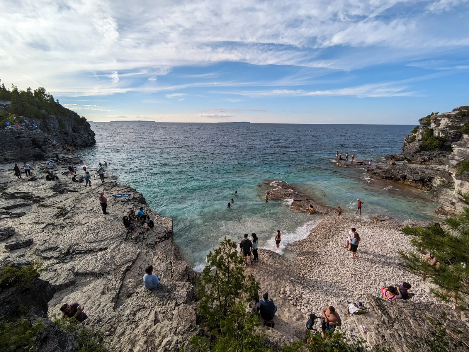
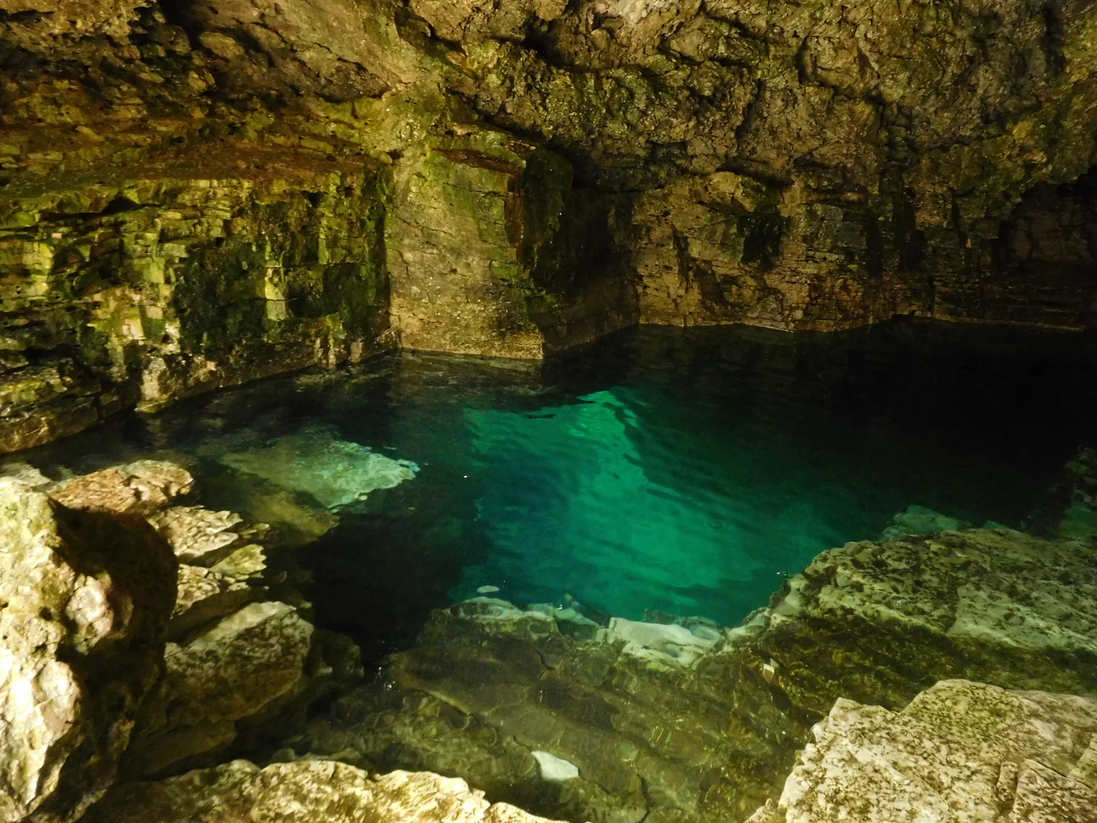
The Grotto Natural cave at the water’s edge, one kilometre on foot from the parking lot. Parking reservation mandatory from 1 May to 31 October, in four-hour slots.
A cave washed out of the limestone, where the water of Georgian Bay glows green. The park’s best-known site, and the reason there is a reservation requirement here at all.
What it is A natural cave at the water’s edge, next to Indian Head Cove.
Trail 1 km from the parking lot; about an hour there and back including the shoreline.
Reservation Mandatory from 1 May to 31 October.
Time slots 8:00–12:00, 9:00–13:00, 12:00–16:00, 13:00–17:00, 16:00–20:00, 17:00–21:00.
Access road Via Cyprus Lake Road; it is closed to pedestrians.
Without a reservation Reachable from Cyprus Lake Campground.
Open all year; only the reservation requirement is seasonal. Add to your Bruce Peninsula National Park visit Open in OpenStreetMap ↗ Location source ↗
45.24520, -81.52419
All places Photo: The Cosmonaut ↗ · CC BY-SA 2.5 ca ↗
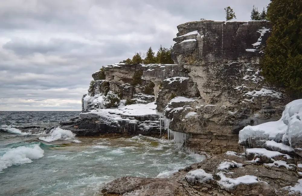
Indian Head Cove Rocky cove right next to the Grotto, with turquoise water between white limestone terraces. Same access road and same reservation requirement.
Add to your Bruce Peninsula National Park visit Open in OpenStreetMap ↗ Location source ↗
45.24518, -81.52255
All places Photo: Derek Hatfield from Peterborough, Canada ↗ · CC BY 2.0 ↗
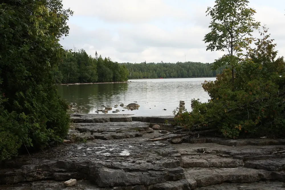
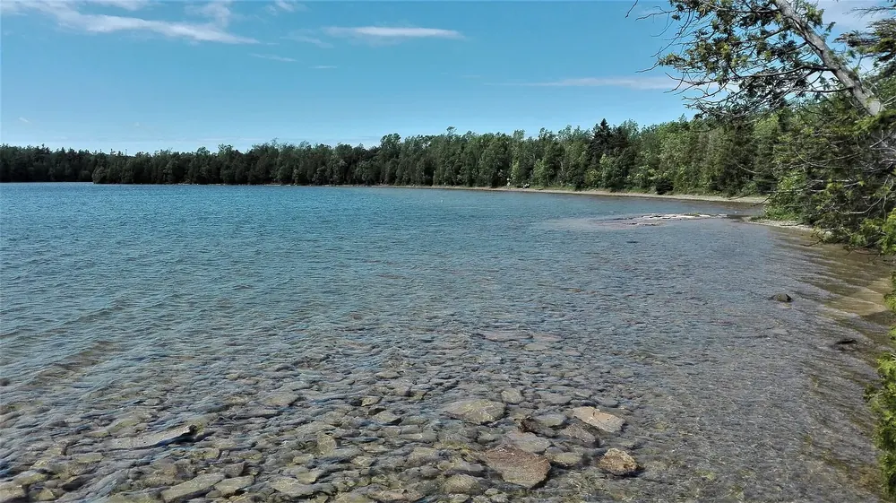
Cyprus Lake The inland lake where the campground lies. The trail to the Grotto starts here.
Add to your Bruce Peninsula National Park visit Open in OpenStreetMap ↗ Location source ↗
45.23218, -81.53004
All places Surroundings Photo: GoginkLobabi ↗ · CC BY-SA 4.0 ↗
Cyprus Lake Campground 232 sites and 10 yurts, drinking water and dry toilets. Coordinates published by the park authority. From here the Grotto can be reached without a parking reservation.
Add to your Bruce Peninsula National Park visit Open in OpenStreetMap ↗ Location source ↗
45.22594, -81.52477
All places Photo: jockrutherford from Owen Sound, ON ↗ · CC BY-SA 2.0 ↗
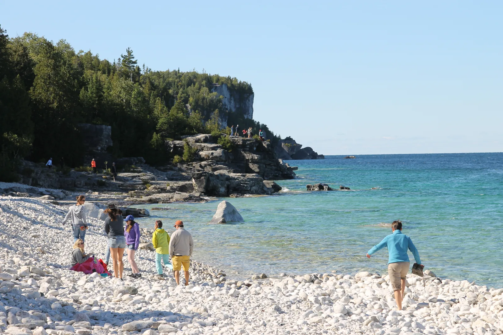
Halfway Log Dump Cobble beach on Georgian Bay with access to the Bruce Trail. Access via Emmett Lake Road; reservation from 19 June to 7 September, six-hour slots.
A beach of pale cobbles below the cliffs, much quieter than the Grotto, and with six-hour instead of four-hour time slots.
What it is Cobble beach on Georgian Bay with access to the Bruce Trail.
Reservation Mandatory from 19 June to 7 September.
Time slots 7:00–13:00 and 14:00–20:00.
Off season 8 September to 18 June self-registration at the parking lot.
Access road Via Emmett Lake Road; it is closed to pedestrians.
In six hours A longer stretch of shoreline or the Bruce Trail on the cliffs, or both. Add to your Bruce Peninsula National Park visit Open in OpenStreetMap ↗ Location source ↗
45.23261, -81.47646
All places Photo: Francine Pallister ↗ · CC BY-SA 3.0 ↗
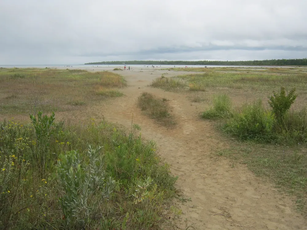
Singing Sands Flat sandy beach on the Lake Huron side. Parking first come, first served; full early in the morning.
Add to your Bruce Peninsula National Park visit Open in OpenStreetMap ↗ Location source ↗
45.19139, -81.57756
All places Photo: Giorgio Galeotti ↗ · CC BY-SA 4.0 ↗
Flowerpot Island The island with the famous rock pillars belongs to Fathom Five National Marine Park, not to Bruce Peninsula National Park. Boats leave from Tobermory.
Add to your Bruce Peninsula National Park visit Open in OpenStreetMap ↗ Location source ↗
45.30071, -81.62595
Locations verified from the linked original sources and OpenStreetMap. The map shows no trails or park boundaries; markers do not imply that access is permitted.
Map: © OpenStreetMap contributors, OpenMapTiles, OpenFreeMap. Elevation: Terrain Tiles (Mapzen, AWS Open Data); 3DEP, GMTED2010 and SRTM courtesy of the U.S. Geological Survey; EU-DEM (Copernicus, European Union); ETOPO1 (NOAA); ArcticDEM (NSF, DigitalGlobe); Geoscience Australia; Open Data Austria (DGM); Open Government Licence – Canada; INEGI; Land Information New Zealand; Kartverket; Environment Agency (UK).
Park photo: Photo: Makeworldpedia ↗ · CC BY-SA 4.0 ↗