All places
Naturum Abisko The visitor centre at the main entrance, with a permanent exhibition on animals, plants, geology and history. Open only at certain times of the year.
Add to your Abisko National Park visit Open in OpenStreetMap ↗ Location source ↗
68.35810, 18.78504
All places
Abisko Turiststation stop The railway stop inside the national park; according to the park authority, Naturum and the mountain station are about 800 metres away.
Add to your Abisko National Park visit Open in OpenStreetMap ↗ Location source ↗
68.35744, 18.78251
All places
Abisko Östra station The second station, in Abisko village east of the mountain station.
Add to your Abisko National Park visit Open in OpenStreetMap ↗ Location source ↗
68.34900, 18.82860
All places
STF Abisko Turiststation Hotel, hostel and cabins of the Swedish Tourist Association (Svenska Turistföreningen) with 377 beds, open all year.
Guided from here · Ad
Partner links: we may earn a commission if you book – at no extra cost to you. Thank you for supporting the atlas. Dates and prices with the provider.
Add to your Abisko National Park visit Open in OpenStreetMap ↗ Location source ↗
68.35857, 18.78367
All places
Start of the Kungsleden This is where the Kungsleden heads south; Hemavan is 450 km (280 mi) away.
Add to your Abisko National Park visit Open in OpenStreetMap ↗ Location source ↗
68.35791, 18.77800
All places Photo: Netha Hussain ↗ · CC0 ↗
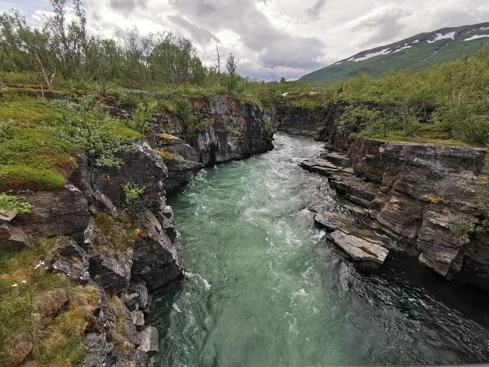
Abiskojåkka Canyon The gorge of the Abiskojåkka near Naturum and the mountain station, partly accessible without steps.
A gorge of schist and dolomite, a few minutes from the railway stop.
Location west of Naturum and the mountain station
Rock hard schist and dolomite
Access gravel path, partly step-free
Breeding bird white-throated dipper
Traces hydropower dam from 1899 Add to your Abisko National Park visit Open in OpenStreetMap ↗ Location source ↗
68.35536, 18.76670
All places
Samevistet 300 metres along the blue-marked path towards Paddus, starting from the large car park at the station.
Add to your Abisko National Park visit Open in OpenStreetMap ↗ Location source ↗
68.35564, 18.78599
All places
Fågelkullen A hill west of the Abiskojåkka overlooking the delta, which is closed from 1 May to 31 July.
Add to your Abisko National Park visit Open in OpenStreetMap ↗ Location source ↗
68.36467, 18.78433
All places
Torneträsk picnic area About 1.2 km (0.7 mi) along the green-marked trail from Naturum; step-free fireplace with benches.
Add to your Abisko National Park visit Open in OpenStreetMap ↗ Location source ↗
68.36208, 18.80142
All places
Chairlift valley station The valley station of the chairlift to the Aurora Sky Station.
Add to your Abisko National Park visit Open in OpenStreetMap ↗ Location source ↗
68.36175, 18.76872
All places Photo: Jojoo64 ↗ · CC BY-SA 4.0 ↗
Aurora Sky Station Café and viewing station of the Swedish Tourist Association at 900 metres (2,953 ft), reached by chairlift.
By chairlift to 900 metres (2,953 ft): in winter for the northern lights, in summer for the midnight sun.
Operator Svenska Turistföreningen (STF)
Opened 23 February 2007
Station altitude 900 m (2,953 ft)
Nuolja summit 1,164 m (3,819 ft)
Chairlift 2 km (1.2 mi), open double chair
Summer daytime 12 June – 20 Sept, 9:30–16:00
Midnight sun 12 June – 19 July, 20:00–01:30 Add to your Abisko National Park visit Open in OpenStreetMap ↗ Location source ↗
68.36169, 18.72341
All places
Nuolja (Njullá) The mountain above Abisko, also called the flower mountain because of its wealth of plants. About an hour on foot from the top station.
Add to your Abisko National Park visit Open in OpenStreetMap ↗ Location source ↗
68.37256, 18.69877
All places
Meditation spot on the Kungsleden Mapped on the Kungsleden south of the mountain station. The park authority places the first meditation spot at Marmorbrottet, almost three kilometres (1.9 mi) from the start.
Add to your Abisko National Park visit Open in OpenStreetMap ↗ Location source ↗
68.34098, 18.76497
All places
Nissonjohka campsite Five kilometres (3.1 mi) south of the main entrance, beyond a suspension bridge; windbreak, fireplaces and a dry toilet.
Add to your Abisko National Park visit Open in OpenStreetMap ↗ Location source ↗
68.32711, 18.75423
All places
STF Abiskojaure Fjällstuga About 15 km (9.3 mi) south of Abisko; camping is also allowed here.
Add to your Abisko National Park visit Open in OpenStreetMap ↗ Location source ↗
68.28601, 18.59127
All places Photo: Ximonic (Simo Räsänen) ↗ · CC BY-SA 4.0 ↗
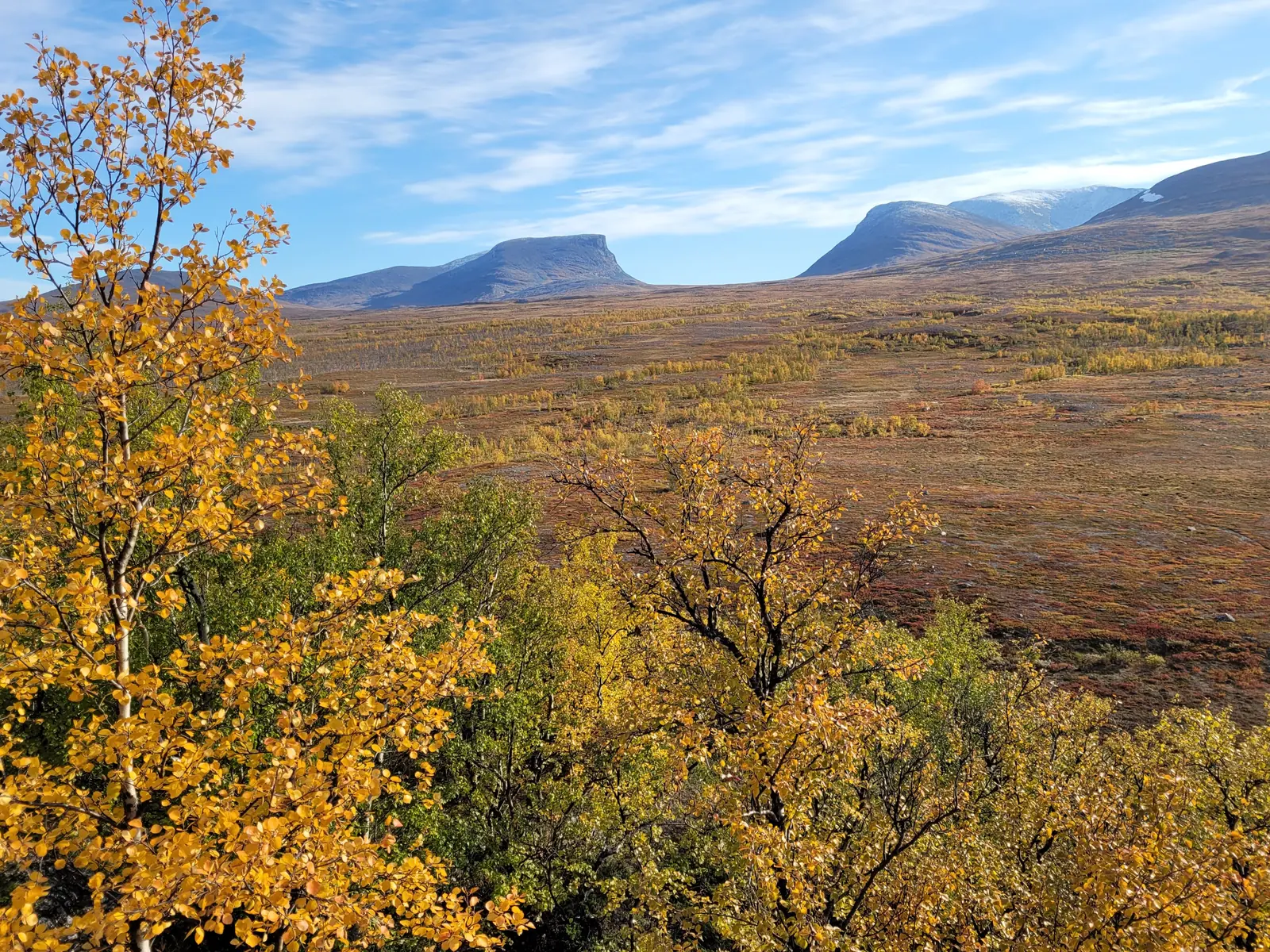
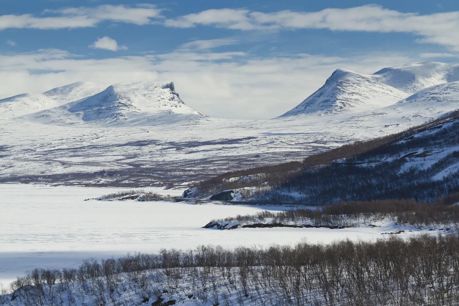
Lapporten (Čuonjávággi) The best-known glacial valley in the area, visible ahead and to the left from the Kungsleden.
The Gate to Lapland, visible from almost everywhere in the Abisko valley.
Sami name Čuonjávággi
Shape U-shaped valley from the Ice Age
View from the Kungsleden ahead to the left, first stage
Location per OpenStreetMap east of the park boundary Add to your Abisko National Park visit Open in OpenStreetMap ↗ Location source ↗
68.26984, 18.97296
All places
Abisko naturvetenskapliga station Abisko Scientific Research Station near the park, where scientists study climate change in the Arctic, among other things.
Add to your Abisko National Park visit Open in OpenStreetMap ↗ Location source ↗
68.35456, 18.81563