Calgary Airport to Banff: shared shuttle ↗Calgary Airport, domestic terminal: Pillar 15 opposite exit door 3 or 4. Be there at least five minutes before the booked departure.
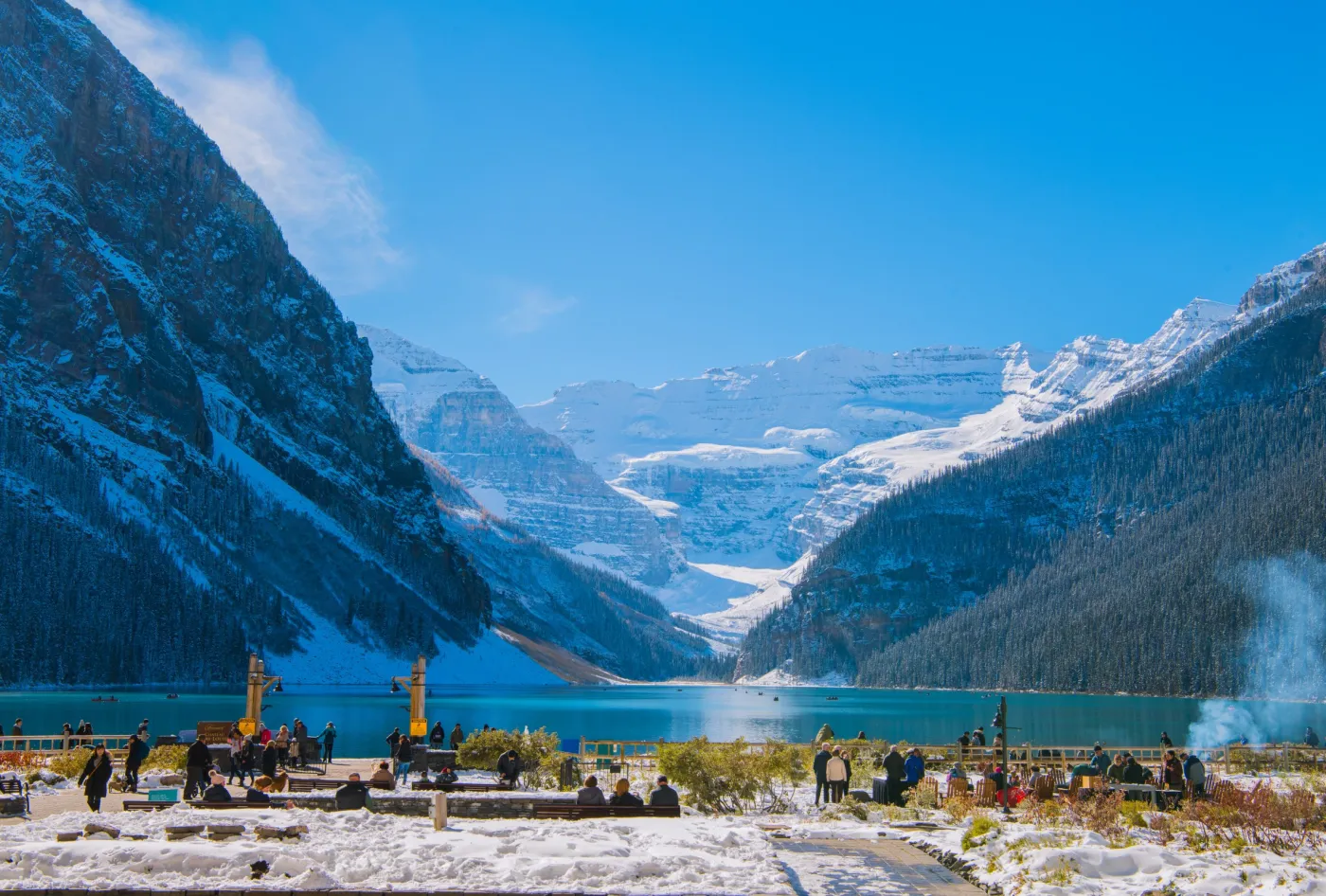
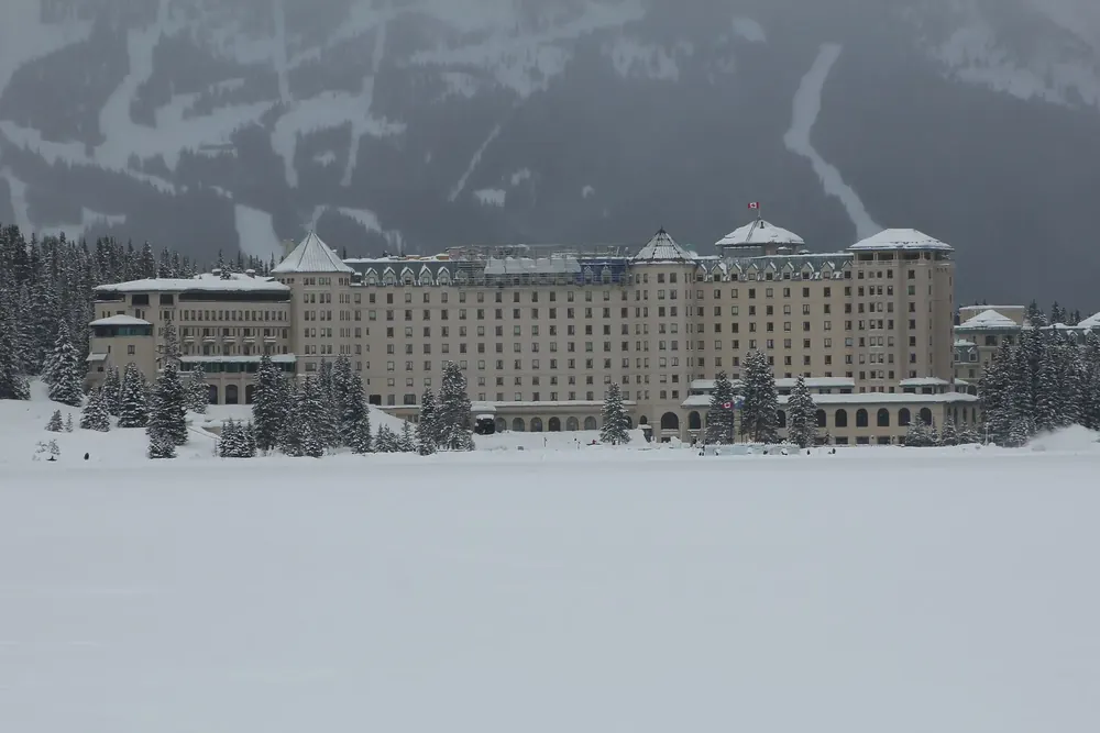
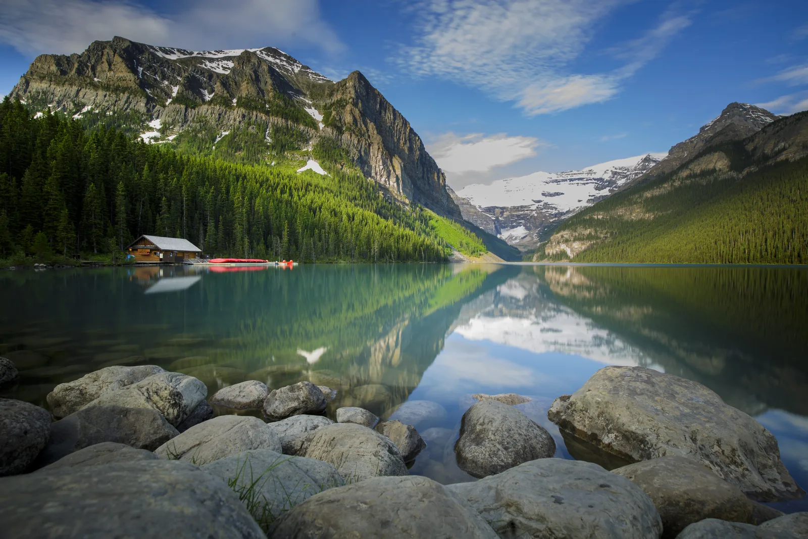
111 Lake Louise Drive. Right on the lake; hotel parking is paid.
Where to stay: hotels and camping
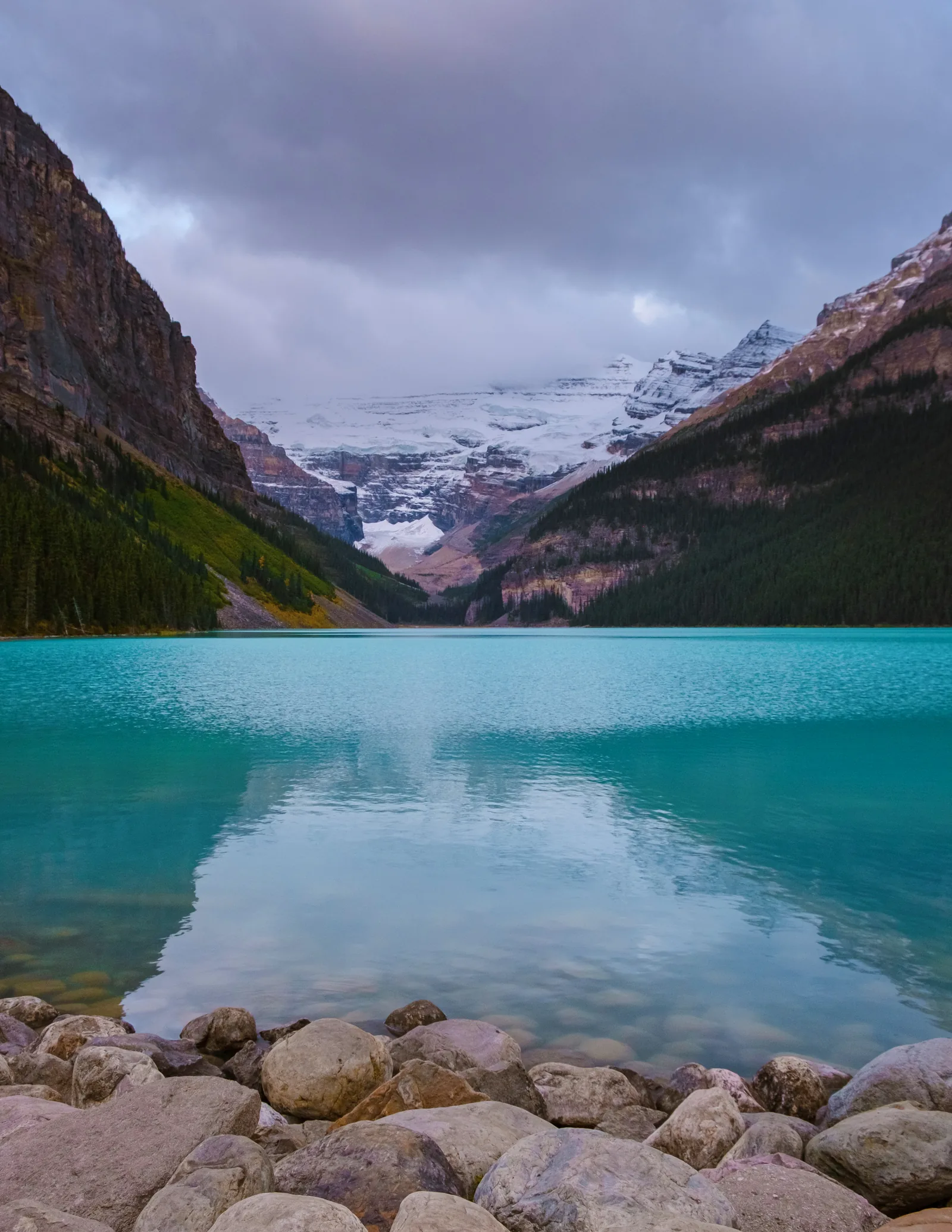
Fairmont Château Lake Louise
Year-round hotel right on Lake Louise, 111 Lake Louise Drive. Hotel parking is paid. There are explicitly designated accessible room types; confirm the features you need with the hotel before booking.
Seasonal lodge at Moraine Lake. Registered overnight guests may drive up and receive their own access instructions. No pets, no RVs or vehicles over 20 feet. The lodge does not run a shuttle.
Open in OpenStreetMap ↗Location source: Place coordinates !3d51.3279072!4d-116.1825926 from the Google Maps link on the official contact page; not the viewport coordinates.
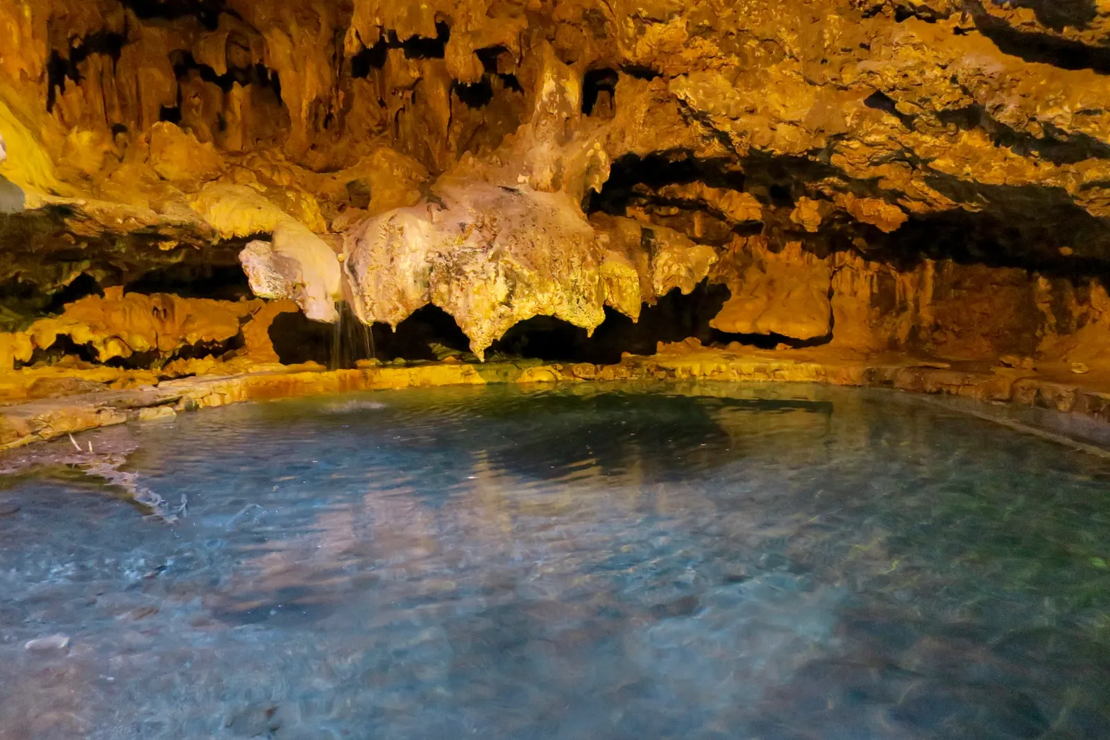
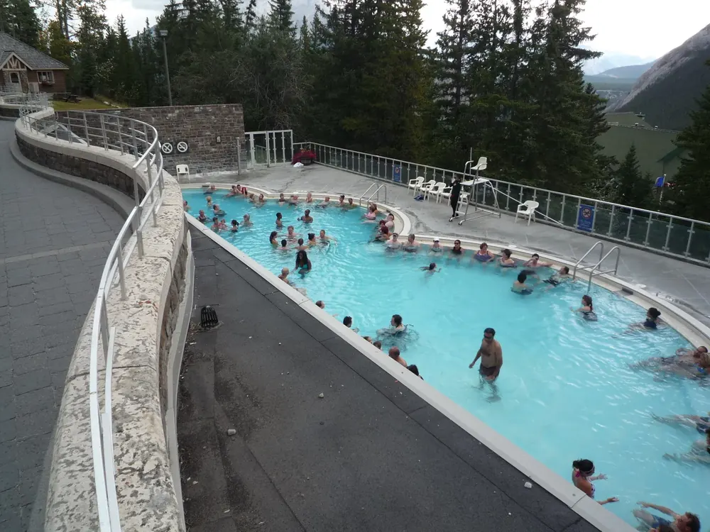
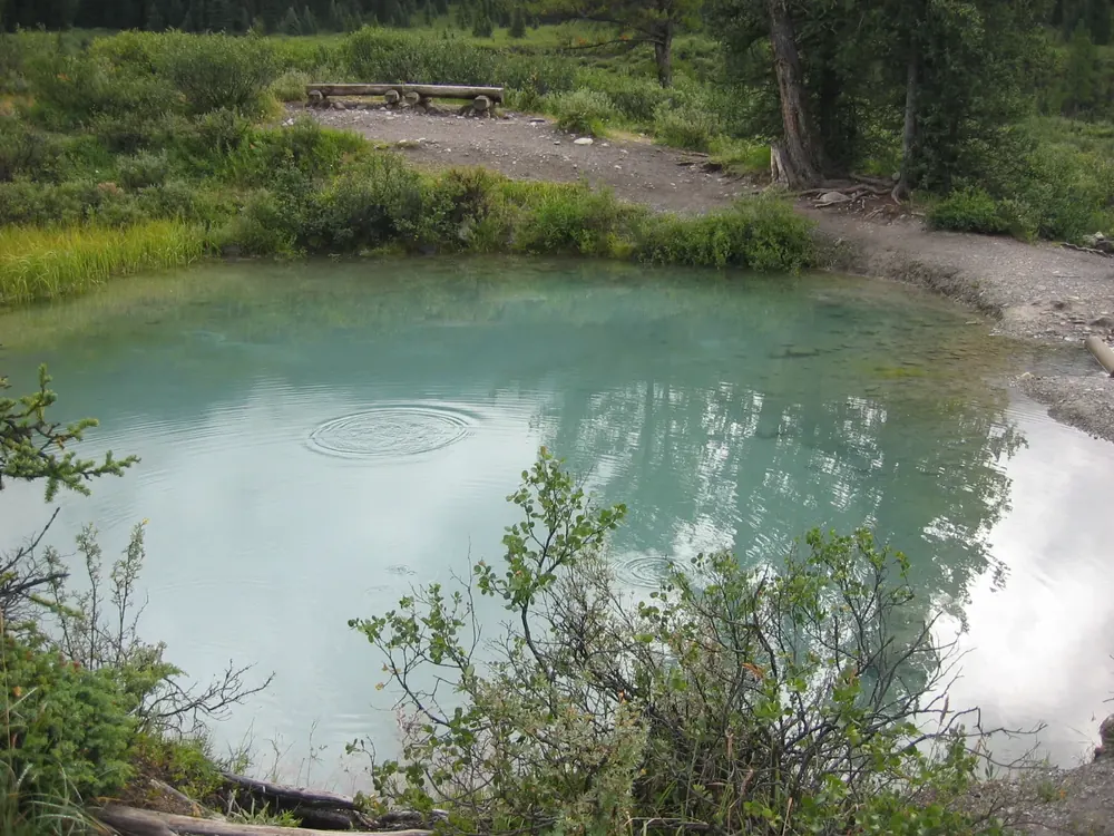
In 1883, railway workers claimed these hot springs. The government ended the dispute in 1885 with a 26 km² (10 sq mi) reserve, the origin of Canada's first national park. Many Indigenous nations still revere the place as a sacred site.
In 1883, three railway workers claimed these hot springs for themselves. The government refused and created a reserve in 1885, the beginning of Canada's first national park.
Coordinates
51.169231, −115.590891
Claim in 1883
William and Tom McCardell and Frank McCabe, workers on the Canadian Pacific Railway, claimed the springs; the government refused.
Reserve in 1885
The 26 km² (10 sq mi) Hot Springs Reserve was created around the springs.
National park in 1887
On 23 June 1887, enlarged to 665 km² (257 sq mi) and, as Rocky Mountains National Park, Canada's first national park.
The name Banff
since the National Parks Act of 1930
Significance
A sacred place for many Indigenous nations, where ceremonies are still held today.
Nature and guided tours in Banff
From hot springs reserve to park system
The Hot Springs Reserve around Cave and Basin, created in 1885, became Canada's first national park in 1887. Today Parks Canada manages 48 national parks, 171 national historic sites, five national marine conservation areas and one national urban park, by its own account the largest system of protected places in the world.
Western Canada's oldest natural history museum, in the middle of town. The building from 1903 is the oldest surviving federal building in a Canadian national park and shows over 5,000 historic specimens of plants and animals.
224 Banff Avenue in the town of Banff. Maps, permits and backcountry reservations, plus current reports on weather, trails, avalanches and roads. Banff Lake Louise Tourism also has an office here.
Visiting Banff: overview and planning
Two towns as a base
Two towns lie inside the park: Banff, with 8,865 residents, a hospital and full services, and Lake Louise, with 500 residents, a clinic and basic services. Both have a Parks Canada visitor centre with maps, permits and reports on weather, trails, avalanches and roads.
Waterfall on the Bow River at Banff. Paddlers coming from the north must get out beforehand at the canoe docks at the mouth of Echo Creek. Below the falls starts the 23-kilometre (14 mi) paddling route to Canmore; put in at the Bow Falls parking lot.
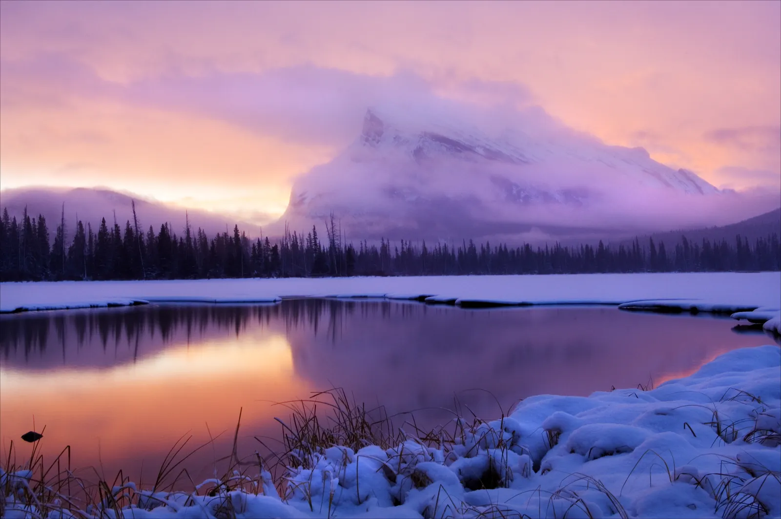
The year-round Vermilion Lakes Drive runs 4.3 kilometres (2.7 mi) along the lakes, with docks, benches and views of Mount Rundle. A few parking spaces at First Vermilion Lake, more with picnic tables at the Fenland day-use area.
A shore road open all year, docks and benches by the water and a view of Mount Rundle, one of Banff's best-known mountains.
Coordinates
51.180254, −115.592775 (First Vermilion Lake)
Vermilion Lakes Drive
4.3 km (2.7 mi), all year; part of the 26 km (16 mi) Banff Legacy Trail
By the water
Docks and benches with a view of Mount Rundle
Wildlife
The road offers chances to watch wildlife.
Information panels
on geology, wetland ecology and the human history of the place
Parking
a few spaces at First Vermilion Lake; parking and picnic tables at the nearby Fenland day-use area
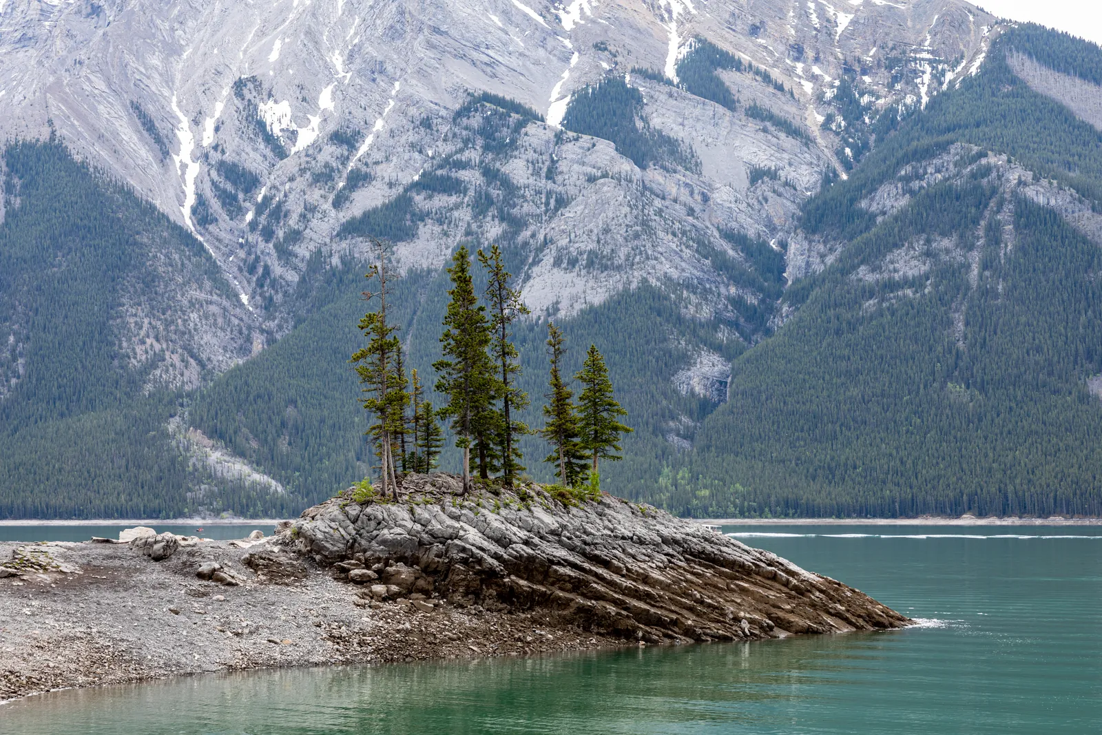
A very popular lake: the day-use parking lot fills up in summer, and Parks Canada recommends Roam Public Transit. Toilets, picnic tables and information panels on site. In winter a destination for cross-country skiing, winter walks and snowshoeing.
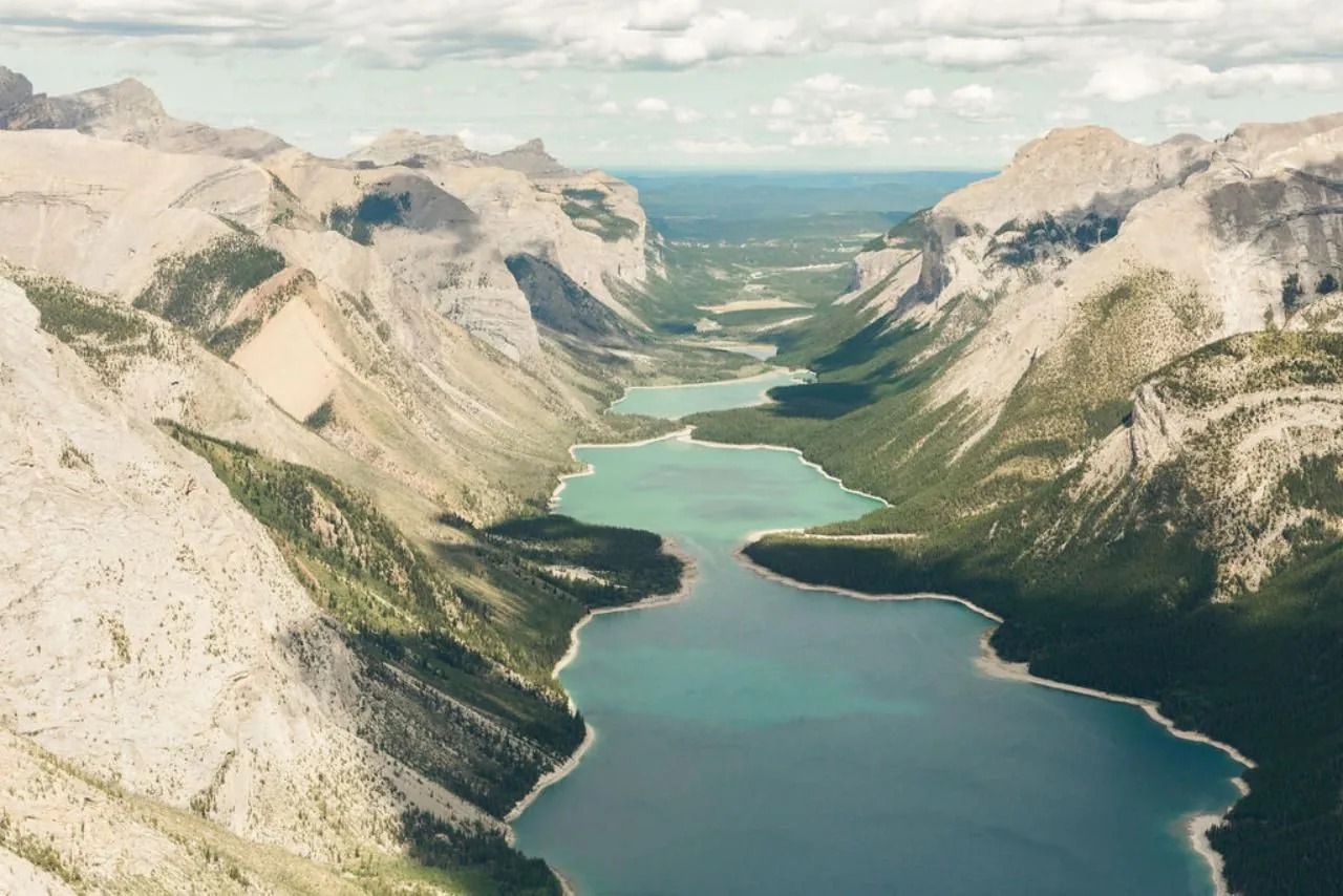
A drowned town lies below the surface: two dams raised the water level and flooded the settlement of Minnewanka Landing. Today divers visit its foundations.
Coordinates
51.247502, −115.496714
Elevation
1,450 m (4,757 ft) above sea level
Size
18 km (11 mi) long, up to 100 m (328 ft) deep
Water level
rises by up to 5.5 m (18 ft) from spring to autumn
Drowned town
Minnewanka Landing: partly flooded after the 1912 dam, completely after the 1941 dam
Diving
allowed in the park only here and in Two Jack Lake; every dive is a cold-water and altitude dive
Hikes & routes in Banff
Lake Minnewanka: boats and wind
The only lake in the park where motorboats are allowed; small open motorboats can be rented on site. Your own boat needs an inspection against invasive species, booked in advance. Parks Canada warns of sudden strong winds and waves, especially in the afternoon; the water rarely gets warmer than 10 °C (50 °F).
Destination of the Lake Minnewanka Trail from the day-use area: 1.6 kilometres (1 mi) along the shore to the bridge over the canyon, about an hour there and back. Many rocks and roots after the first kilometre. Beyond the bridge the trail has been closed until further notice since 16 September 2026.
Hikes & routes in Banff
Stewart Canyon and Aylmer Lookout
From the Lake Minnewanka day-use area, 1.6 km (1 mi) along the shore lead to the bridge over Stewart Canyon, about an hour there and back. Beyond the bridge, the Lake Minnewanka Trail, the Aylmer Pass Trail and the backcountry campgrounds on the lake have been closed until further notice since 16 September 2026 (as of 27 Sep 2026). Otherwise the shore trail continues to Aylmer Lookout, a decommissioned fire lookout: 11.6 km (7.2 mi) one way, 770 m (2,526 ft) of ascent, seven to eight hours.
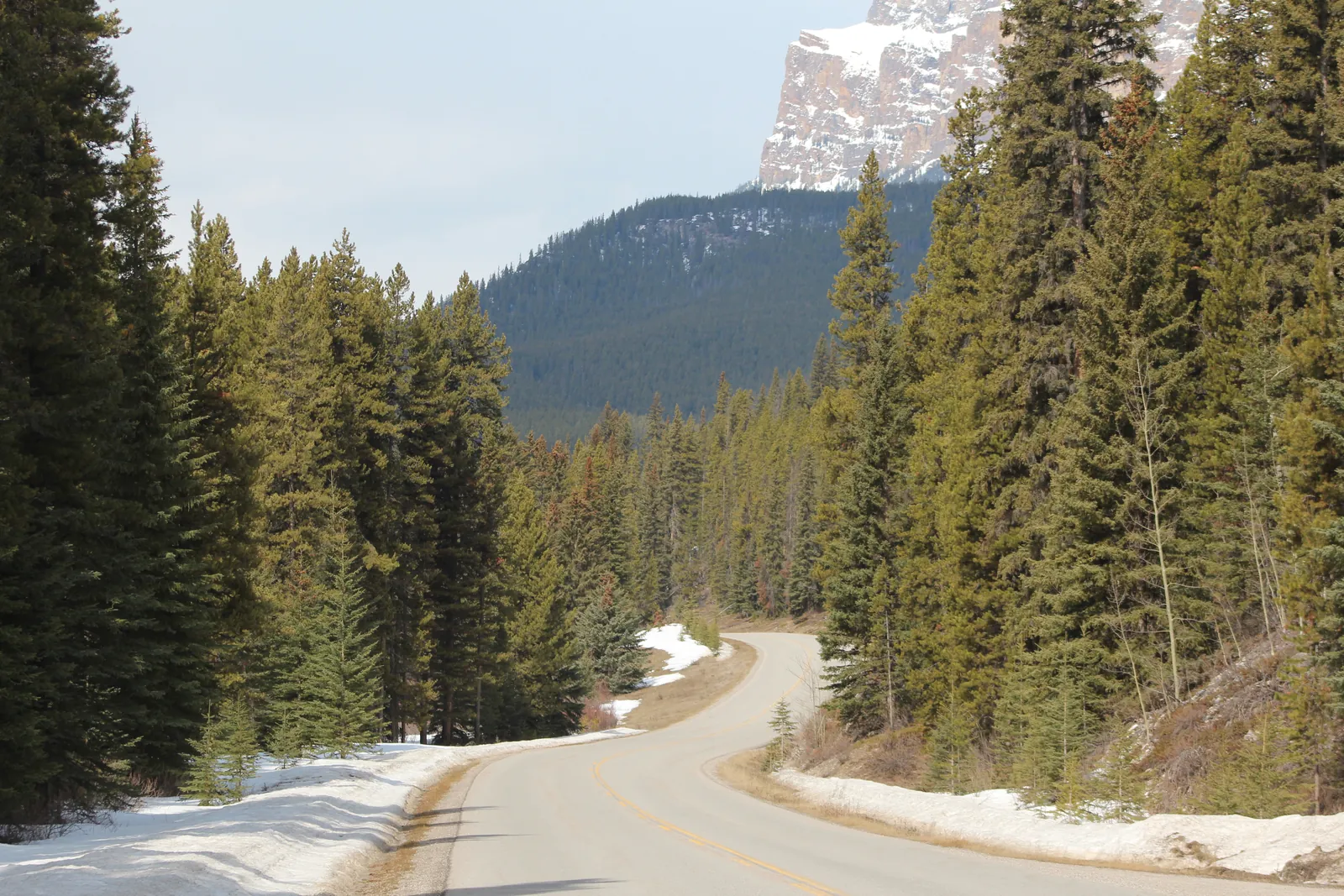
The 48-kilometre (30 mi), winding secondary road between Banff and Lake Louise, quieter than the Trans-Canada Highway, with pull-outs and picnic areas. The map point is at Castle Junction, the exit from the Trans-Canada Highway.
The quiet alternative to the Trans-Canada Highway: 48 kilometres (30 mi) of curves, pull-outs and picnic areas between Banff and Lake Louise, right through bear and wolf habitat.
Coordinates
51.268763, −115.918333 (Castle Junction)
Length
48 km (30 mi), paved, between Banff and Lake Louise
Night closure
1 March to 25 June: no travel from 20:00 to 8:00 on the 17 km (10.6 mi) eastern section between Johnston Canyon Campground and Fireside Picnic Area, not even on foot or by bike
Why
The eastern section lies in the montane zone. It is the first to lose its snow in spring and gives bears and wolves food and room to raise their young.
Cycling
Pilot project 2025–2030: in spring and autumn, the eastern section is at times free of public car traffic; e-bikes are allowed
During the closure
Businesses along the road can be reached via the Trans-Canada Highway, Castle Junction exit.
Hikes & routes in Banff
Cycling the Bow Valley Parkway
In spring and autumn, the 17 km (10.6 mi) eastern section between Fireside and Johnston Canyon is at times closed to public car traffic, a pilot project running until 2030. Park at the Banff train station via Mount Norquay Road; e-bikes are allowed. Cyclists are fast and quiet, so they are more likely to surprise bears or wolves.
One of the six wildlife overpasses on the Trans-Canada Highway in the park; there are also 38 underpasses and 82 kilometres (51 mi) of wildlife fencing. People may not use the overpasses.
Nature and guided tours in Banff
44 wildlife crossings
The Trans-Canada Highway in the park has six overpasses and 38 underpasses for wildlife plus 82 km (51 mi) of fencing, more than anywhere else in the world. Wildlife collisions have since dropped by more than 80 %, and by more than 96 % for elk and deer. Grizzly bears took up to five years to start using the structures.
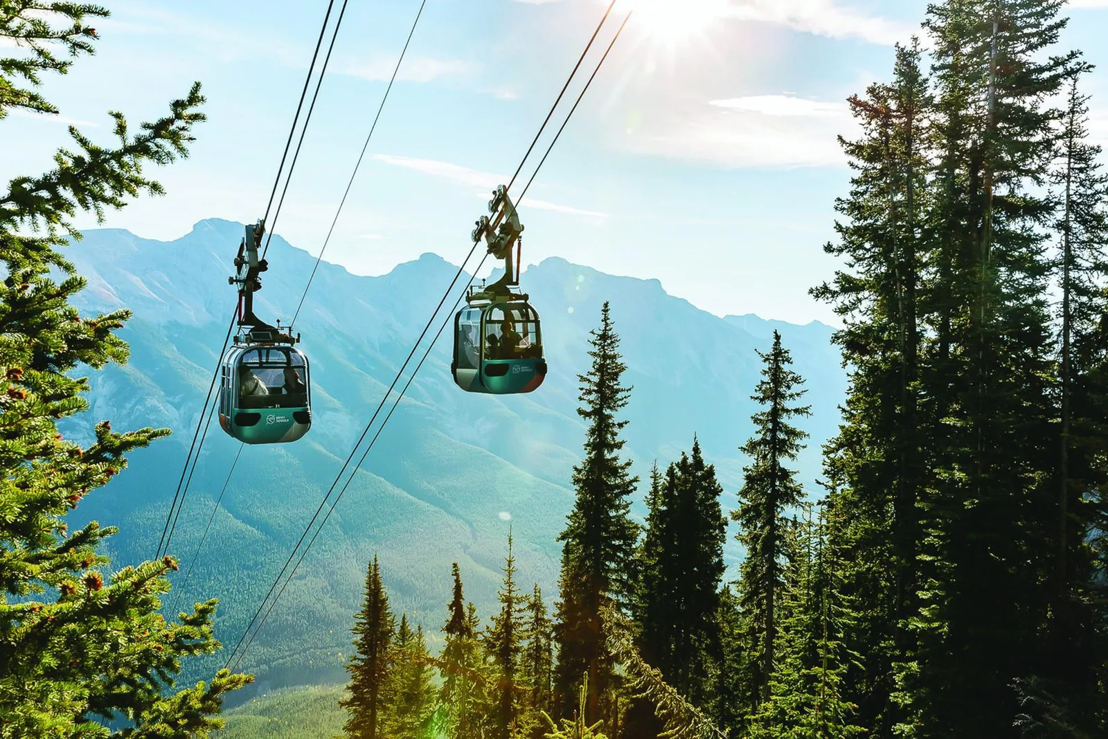
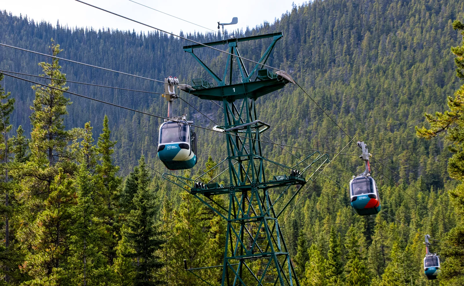
Trail network around mountain lakes and alpine meadows: 10.3 kilometres (6.4 mi) of trails, 580 metres (1,903 ft) of ascent, four to five hours. The most popular trail crosses the Continental Divide to the viewpoint at Rock Isle Lake. Start in Sunshine Village, reached from early July to early September by a paid gondola. The map point is the gondola station in the village.
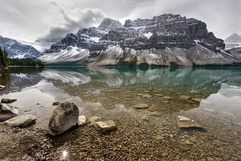
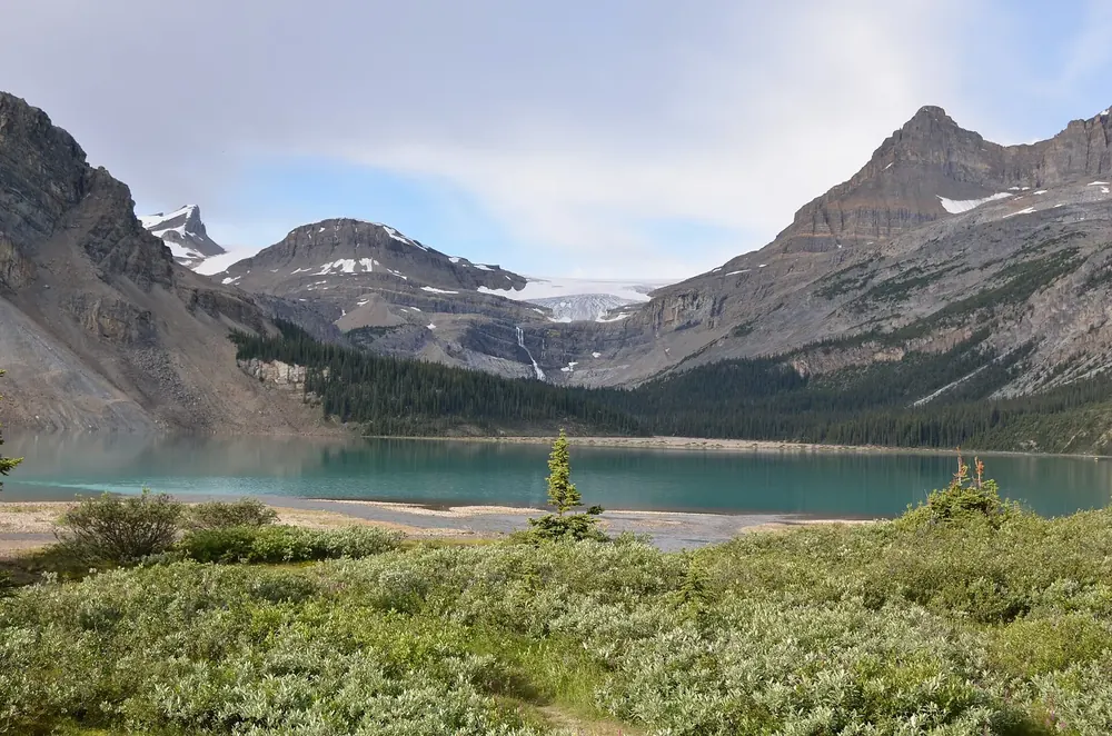
On the Icefields Parkway, 39 kilometres (24 mi) from Lake Louise. Main parking on the north shore via the access road to the Lodge at Bow Lake; both parking lots are very busy in summer. The shore can be reached all year on a short gravel path.
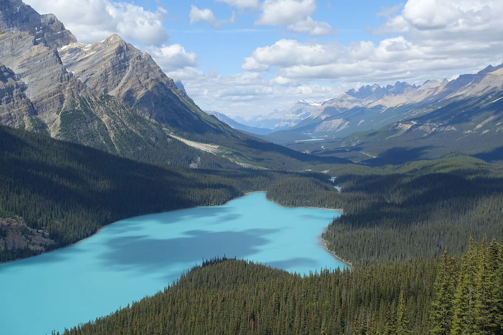
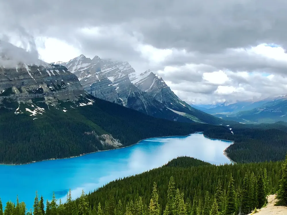
On the Icefields Parkway, 43 kilometres (27 mi) from Lake Louise. A short climb leads to the platform high above the turquoise lake. From the upper parking lot, open only to vehicles with a disability parking permit and buses, there is an accessible path of 0.3 kilometres (0.2 mi).
A short climb from the parking lot, and the turquoise lake lies far below the viewing platform. Getting down to the shore takes experience: the trail is steep and rough.
Coordinates
51.725165, −116.522180
Location
Icefields Parkway, 43 km (27 mi) north of Lake Louise
Viewing platform
short climb from the parking lot; from the upper parking lot (buses and vehicles with a disability parking permit only) an accessible path of 0.3 km (0.2 mi)
Bow Summit
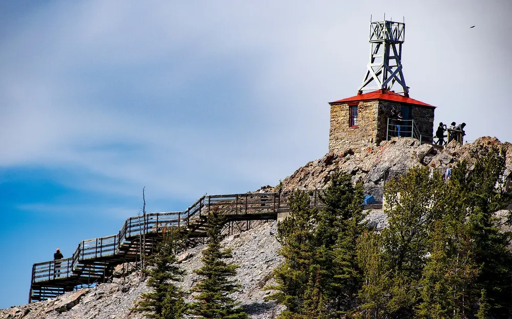
highest point of the Icefields Parkway, 2,070 m (6,791 ft); an old fire road continues beyond the platform to the Bow Summit Viewpoint
To the shore
steep, rough trail, for experienced hikers only
Wildlife on the trail
pikas, marmots and ptarmigan
Own page
Peyto Lake
A short walk from the parking lot, and the lake lies far below you.
Banff National Park entry, as of 3 October 2026
Daily pass, adults (18–64)
12.25 CAD
Daily pass, seniors (65+)
10.75 CAD
Daily pass, family/group, up to 7 people in one vehicle
Water · Mountain lake with no access for private cars
Moraine Lake
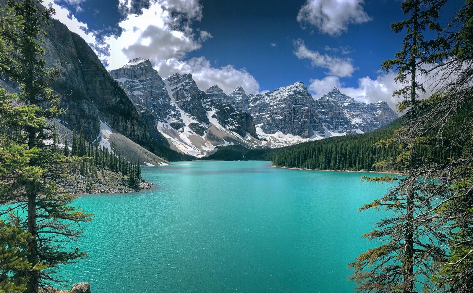
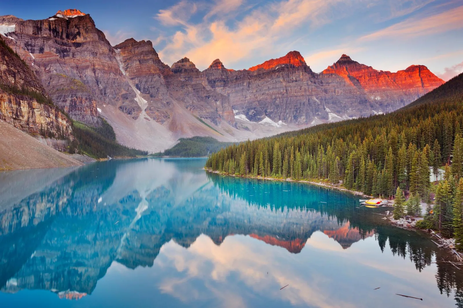
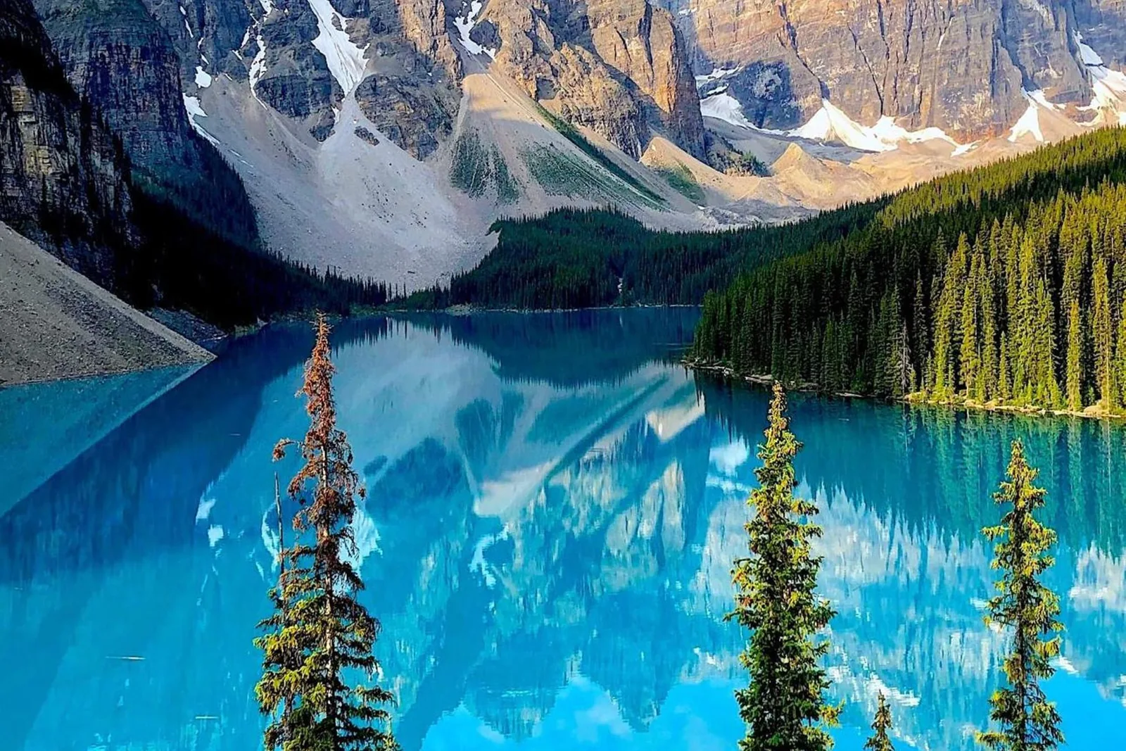
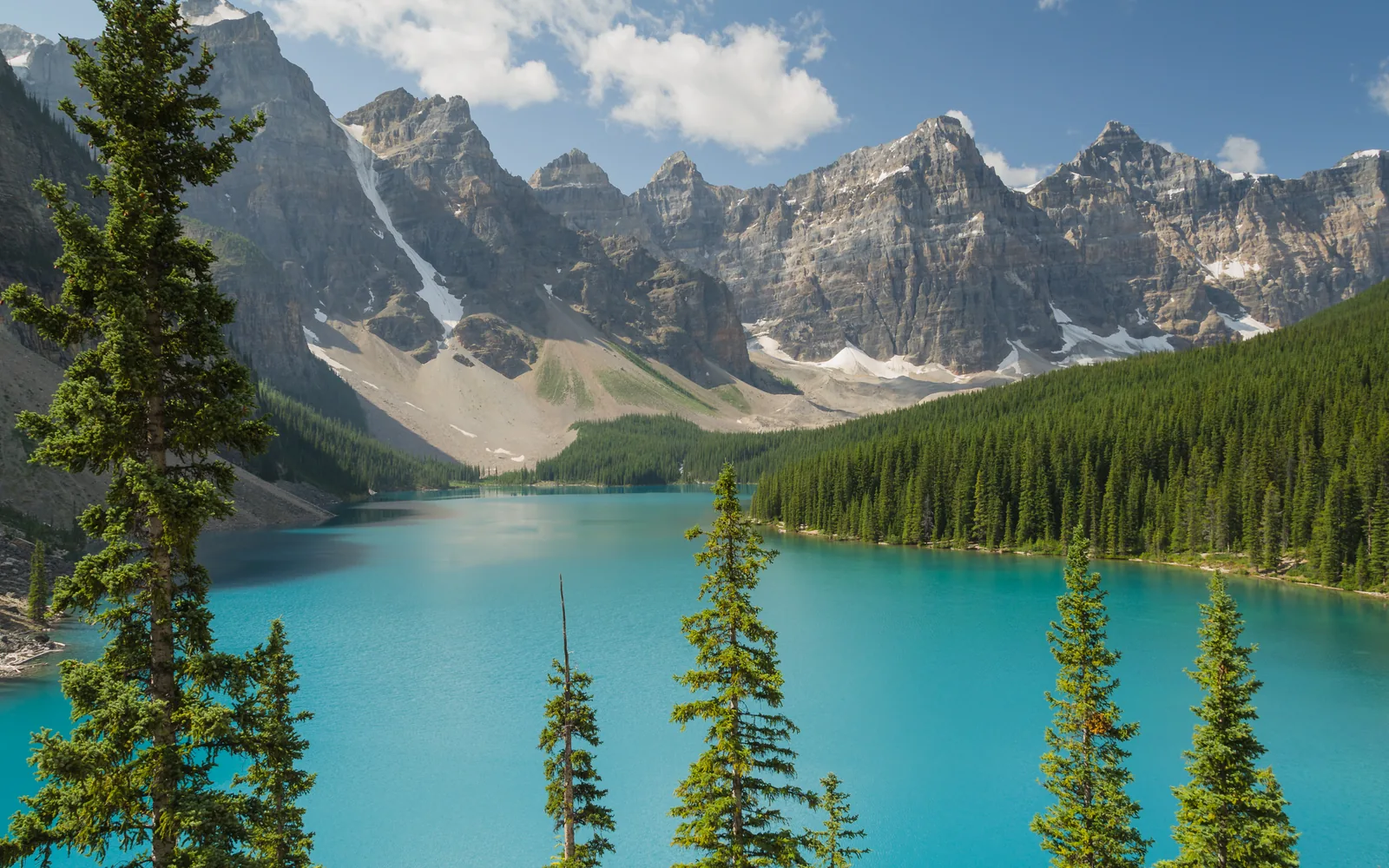
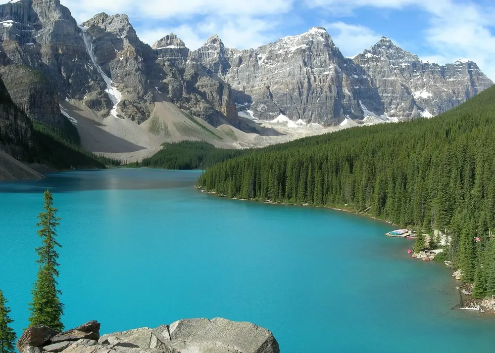
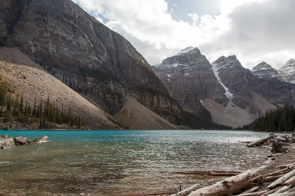
No private cars, no mobile signal, no running water, and from the Rockpile one of the best-known views in the Rockies.
The turquoise lake in the Valley of the Ten Peaks is the most searched-for place in the park, and the most tightly regulated. Arrive without a plan and you won't get there.
Access
Moraine Lake Road is closed to private vehicles all year.
Allowed
Parks Canada shuttles, licensed commercial operators with a Moraine Lake Road Licence of Occupation, and registered guests of Moraine Lake Lodge.
Parking
There is no public parking at the lake itself.
Reservation
Required for all Parks Canada shuttles. More seats are released at 8:00 MDT two days before departure.
Shuttle ticket includes
Access to Lake Louise and Moraine Lake, rides on the Lake Connector and the return to the Park and Ride.
Season and frequency
Shown above in the automatically updated shuttle details.
Own page
Moraine Lake
No private cars, no mobile signal, no running water, and from the Rockpile one of the best-known views in the Rockies.