

Johnston Canyon: catwalks into the gorge
Short, well built and therefore busy: come early and you have the catwalks almost to yourself.
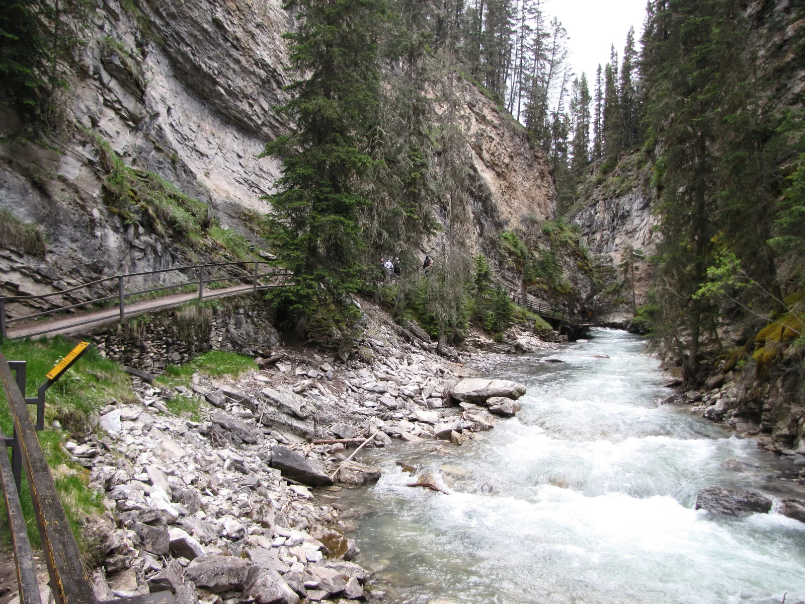
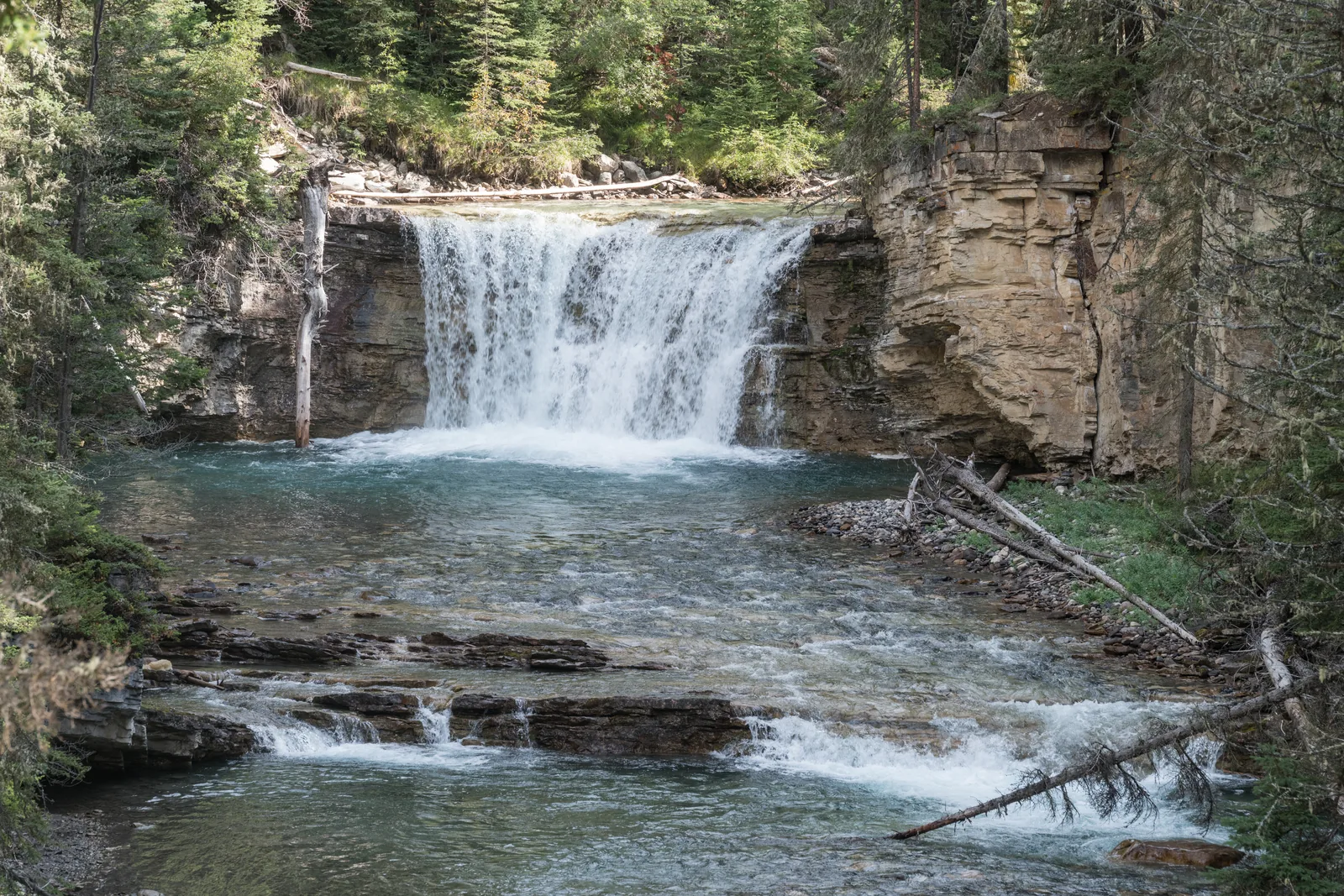
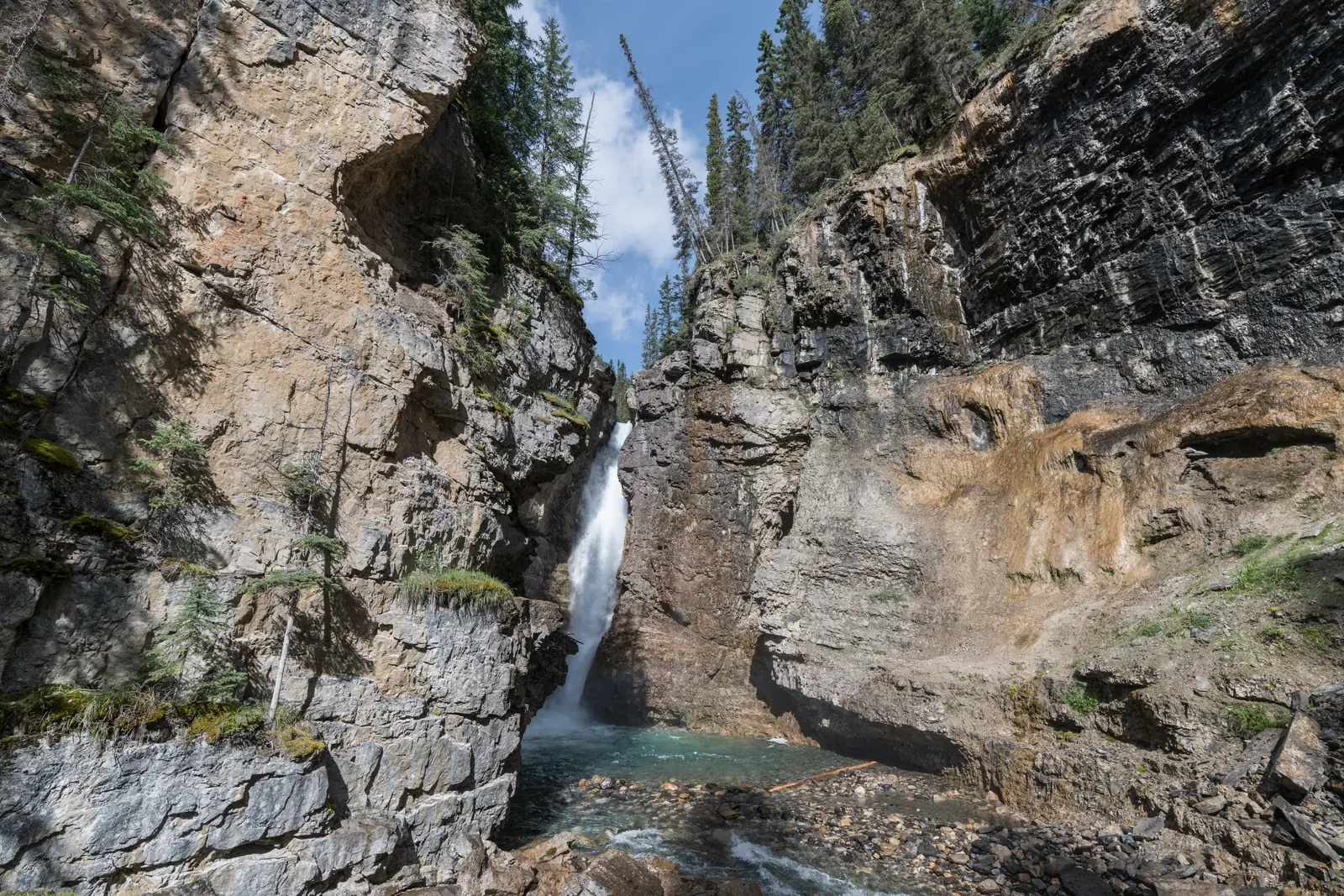
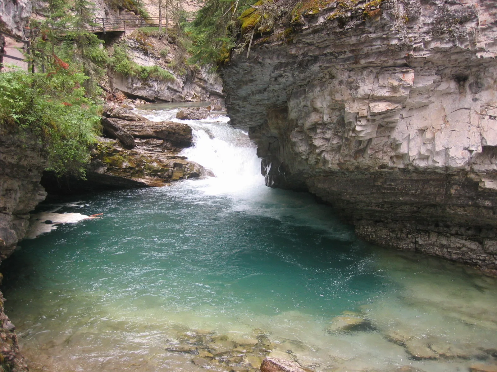
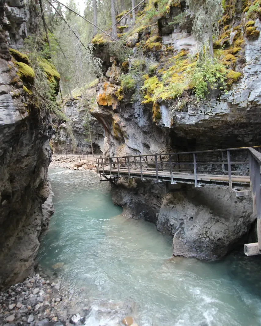
Johnston Canyon lies on the Bow Valley Parkway, 25 kilometres (16 mi) north-west of Banff and 33 kilometres (21 mi) south-east of Lake Louise. An uneven, surfaced trail leads over narrow bridges with railings into the gorge, first to the Lower Falls, then to the 30-metre (98 ft) Upper Falls.
From 13 October 2026 the canyon trail to both waterfalls is closed for rock slope remediation, as is the P1 parking lot; Parks Canada has not given an end date. The Upper Falls and the Ink Pots stay accessible via the Moose Meadows Trail.
The trail is very busy, it is hard to pass each other at narrow points, and Parks Canada advises against pushchairs. The parking lot fills up quickly; in summer Roam route 9 runs to the canyon.
Beyond the Upper Falls the trail becomes a forest path with roots and rocks. It leads to the Ink Pots, shallow spring pools in a meadow where water wells up from below.
Parks Canada: hiking trails in Banff National Park (accessed 3 October 2026) ↗
In numbers
- From Banff
- 25 km (16 mi)
- From Lake Louise
- 33 km (21 mi)
- Lower Falls
- 1.1 km (0.7 mi), +85 m (279 ft)
- Upper Falls
- 2.4 km (1.5 mi), +215 m (705 ft)
- Height of the Upper Falls
- 30 m (98 ft)
- View from above
- 265 m (869 ft) further
- Ink Pots
- 5.5 km (3.4 mi) one way, approx. 4 hrs
- Accessible parking spaces
- 8
- Car closure for cyclists in autumn
- 1 September–6 October
- Night travel ban
- 1 March–25 June