National Parks Atlas
Map

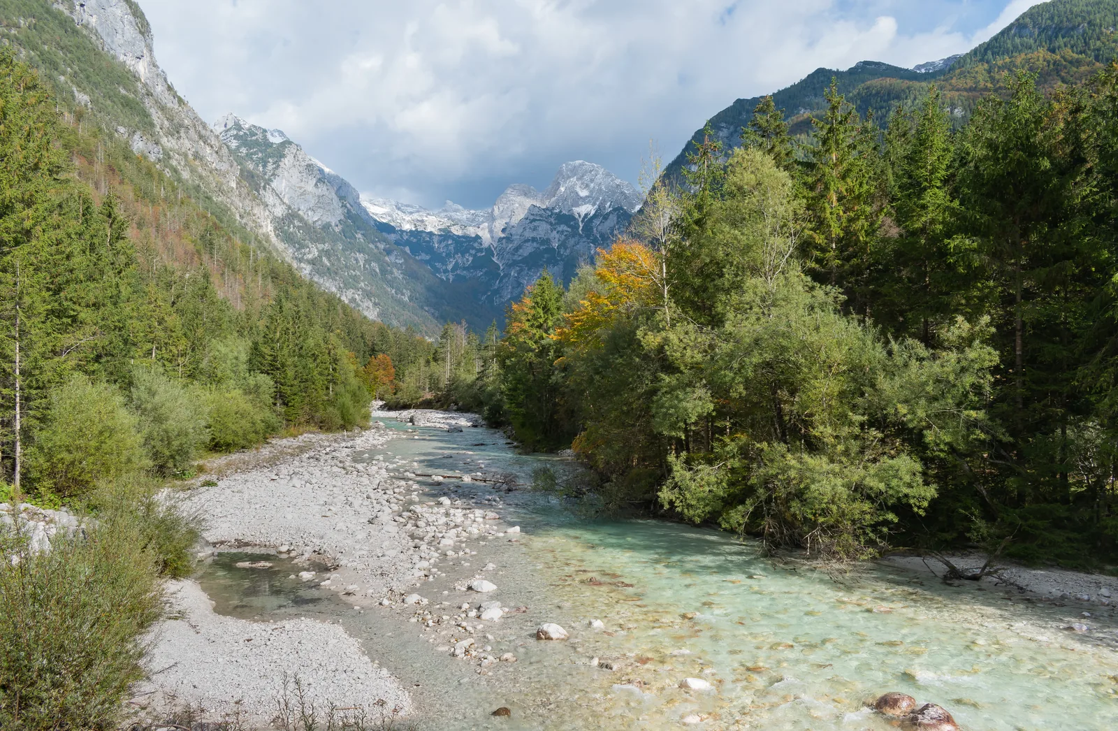
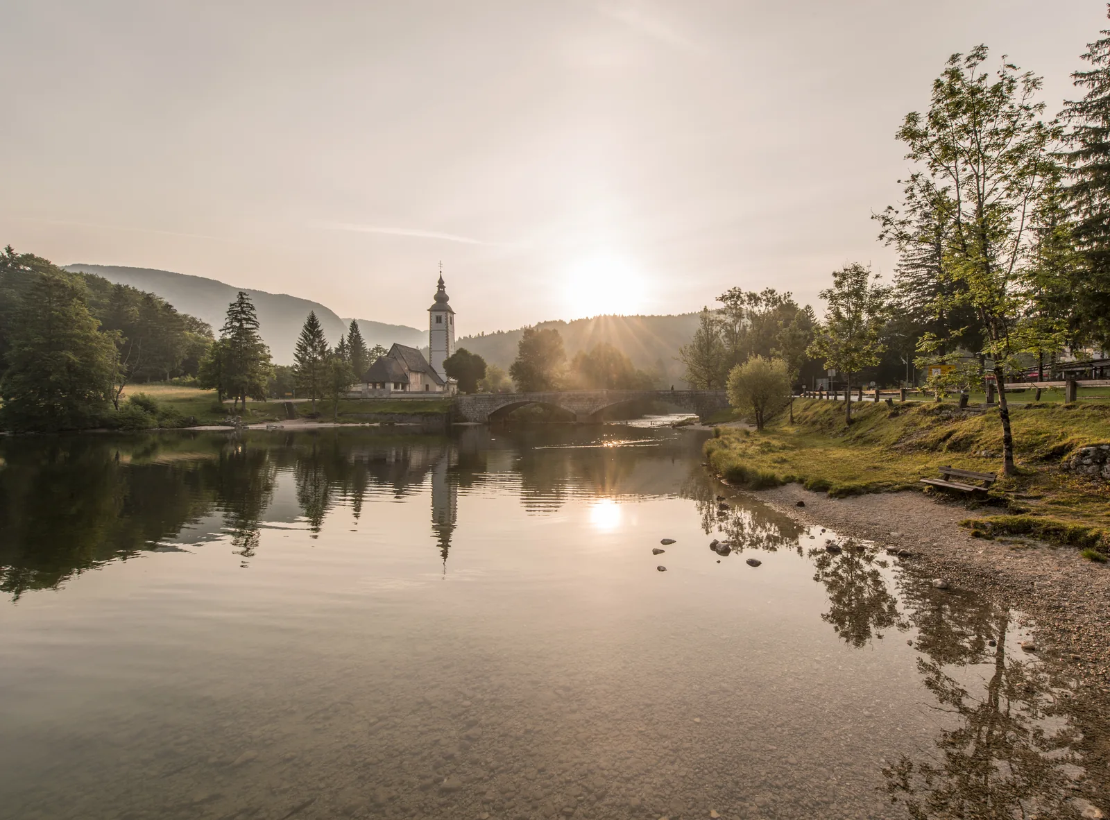
00 · Valley and river in Triglav National Park · Primorska · Triglav National Park

Soča Valley

The emerald river rises as a karst spring in the Trenta, and only its upper valley belongs to the national park.

Rules & trailsGetting there & parkingOpening times

View plan

Photo: Bojan Marušič ↗ · CC BY-SA 4.0 ↗

about 25 km (15.5 mi)Soča Trail

From the source to Bovec

15 Mar–31 OctBoating

Launch from 9:00, take out by 18:00

upper valleyIn the park

The Trenta and the Soča up to the park boundary

The Soča Valley: which part belongs to the national park

Searches for the ‘Soča Valley’ often mean Bovec and rafting; the national park starts further up.

The Soča rises at the head of the Trenta from a cave with an underground lake and then flows through gorges it has cut into the limestone itself. The upper valley with the source, the Trenta and the Great Soča Gorge lies in Triglav National Park; the town of Bovec, starting point for most rafting trips, lies outside.

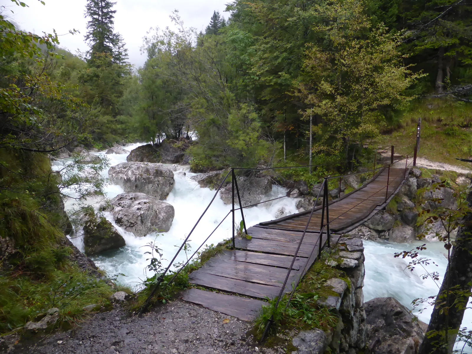
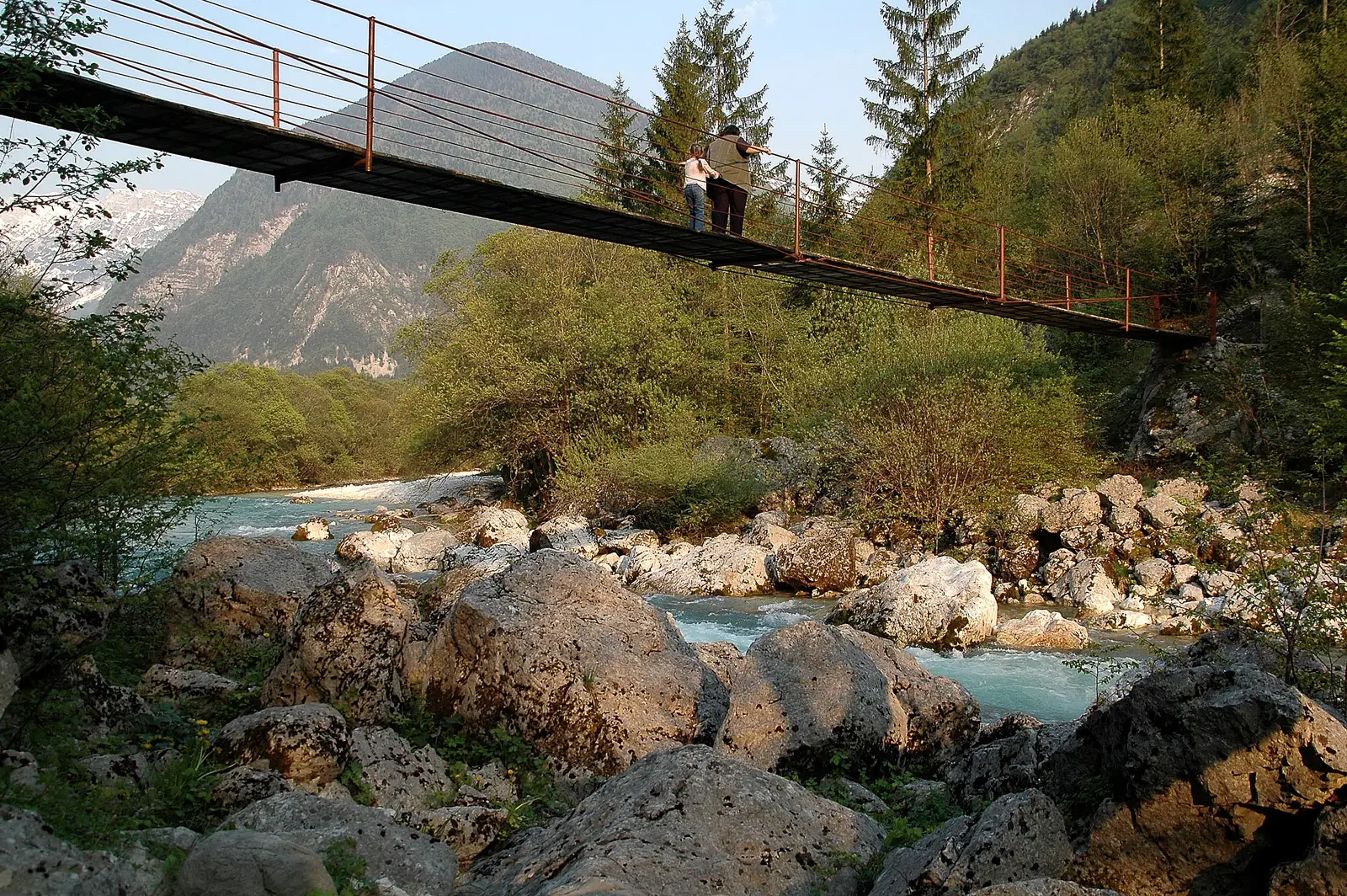
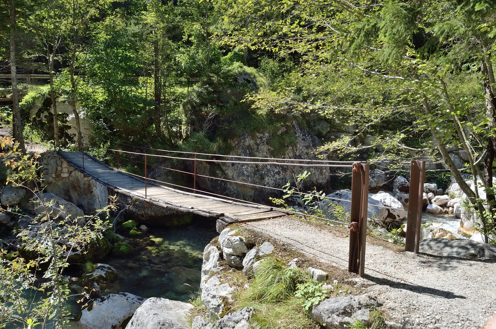
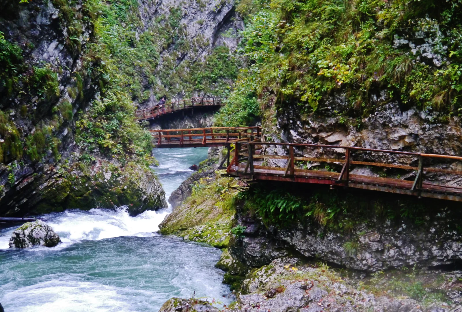
The Soča Trail, the national park's oldest nature trail, follows the river: about 25 km (15.5 mi) from the source to Bovec, over many suspension bridges, past the Mlinarica gorge, the Juliana Alpine Botanical Garden and the Dom Trenta information centre. You can walk each section on its own.

Boating is allowed in the park only on designated stretches: from 15 March to 31 October, at suitable water levels, launching from 9:00 and taking out by 18:00, and only below the Great Soča Gorge.

Triglavski narodni park: Soča Trail ↗

In numbers

Soča Trail
about 25 km (15.5 mi)
Daily average at the Trenta counter
4,630 visits
Great Soča Gorge
750 m long, up to 15 m (49 ft) deep
Narrowest point
banks 2 m (7 ft) apart
Juliana Alpine Botanical Garden
since 1926, May–September
Vršič Pass
1,611 m (5,285 ft), 50 hairpin bends
Boating season in the park
15 March to 31 October

Triglav National Park profile

01 · Plan

Rules & trails

Over the Vršič or from Bovec, and in summer also by bus.

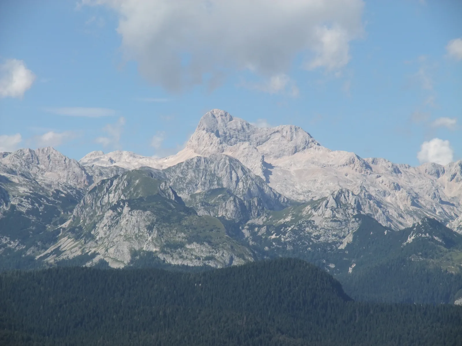
Photo: Brane Blokar (User:Octopus at Slovene Wikipedia) ↗ · Public domain ↗

How to get there: Vršič Pass, Bovec and the summer bus

Over the Vršič or from Bovec, and in summer also by bus.

Over the Vršič Pass

From Kranjska Gora the road climbs over the Vršič, with its 50 hairpin bends, and down into the Trenta. In winter the pass may be closed by snow.

Kranjska Gora: Vršič Pass ↗

Summer bus between Kranjska Gora and Bovec

In the summer months a bus runs from Kranjska Gora over the Vršič to Bovec, so you can also walk sections of the Soča Trail one way.

Triglavski narodni park: Soča Trail ↗

By bus into the Lepena Valley

From early July to the end of August, a bus runs from Bovec into the Lepena Valley, which branches off at the Great Soča Gorge. In summer 2026 some trails and footbridges there are closed because of construction work.

Triglavski narodni park: Lepena Valley ↗

Price list

checked 21 Sep 2026

Tickets & entrance fees

The river, the trail and the gorges are free.

No entry fee

Visiting the national park is free; the park authority expressly confirmed this in September 2026. Nothing is charged for the Soča Trail, the source or the Great Soča Gorge.

Triglavski narodni park: statement on restrictions and entry fees (8 Sep 2026, in Slovenian) ↗

Free guided hike

The park authority offers guided walks on the Soča Trail, in 2026 for example on 25 and 26 September in two stages, free of charge, with registration.

Triglavski narodni park: guided hike on the Soča Trail ↗

Mangart Road: €10

If you drive from Bovec up the Mangart Road, you pay a €10 environmental fee at the barrier.

Triglavski narodni park: Mangart Road ↗

Best time to visit: seasons and times

The valley trails are open; boating and the garden have seasons.

Boating only in the summer half-year

Boating on the Soča in the park is allowed from 15 March to 31 October at suitable water levels; launch from 9:00, take out by 18:00.

Triglavski narodni park: FAQs ↗

02 · On site

Hikes & routes: source, gorges and the Soča Trail

A spring, gorges and a trail over suspension bridges.

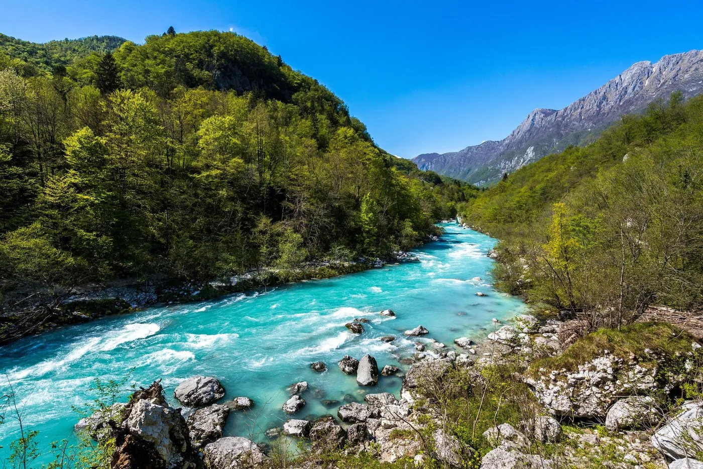
Photo: Johann Jaritz ↗ · CC BY-SA 3.0 ↗

„The upper valley with the source, the Trenta and the Great Soča Gorge belongs to the national park. The town of Bovec does not.“

The Soča in the lower Trenta.

Hikes & routes: source, gorges and the Soča Trail

A spring, gorges and a trail over suspension bridges.

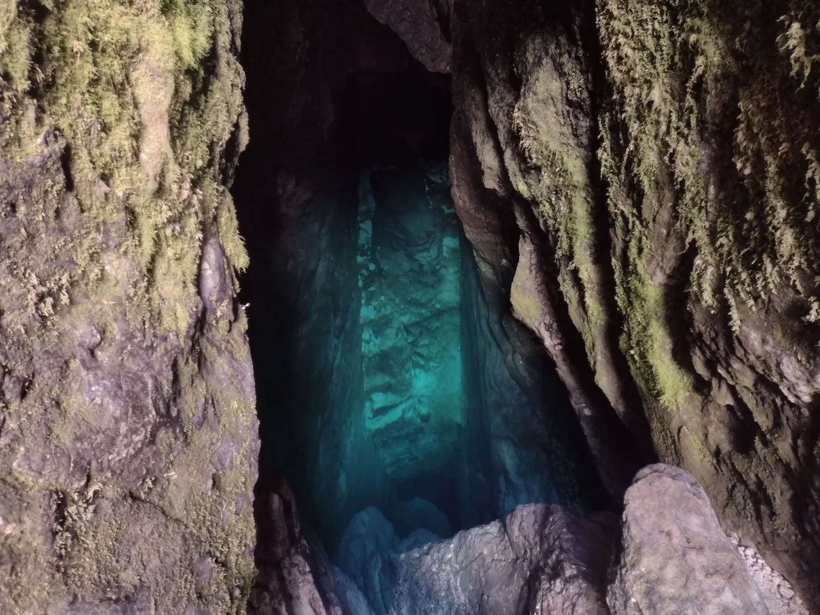
The source in the cave

At the head of the Trenta, water from Jalovec, Šit, Travnik and Mojstrovka collects, emerges from a cave with an underground lake and drops into the riverbed. In dry spells you can see the shaft.

Triglavski narodni park: source of the Soča ↗

The Great Soča Gorge

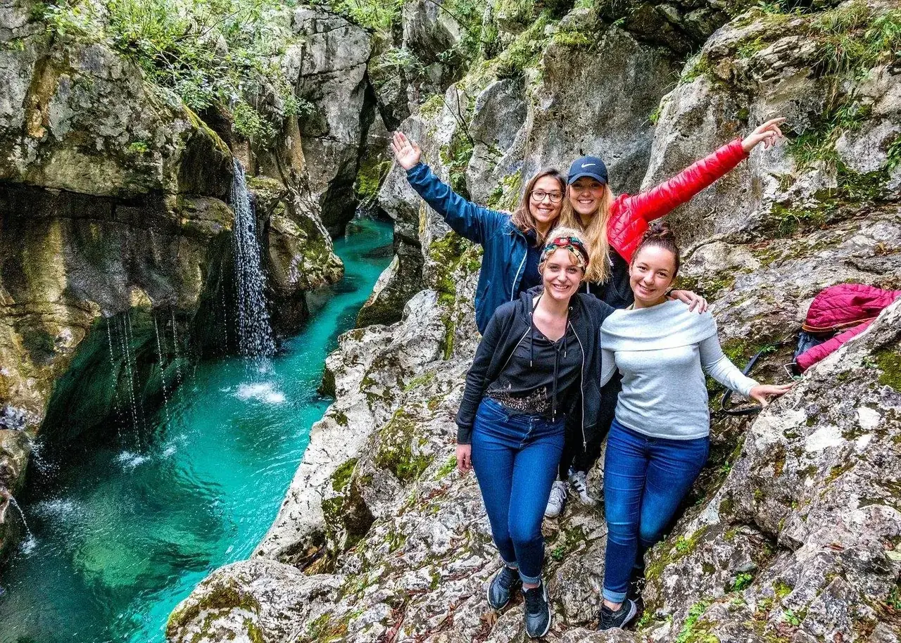
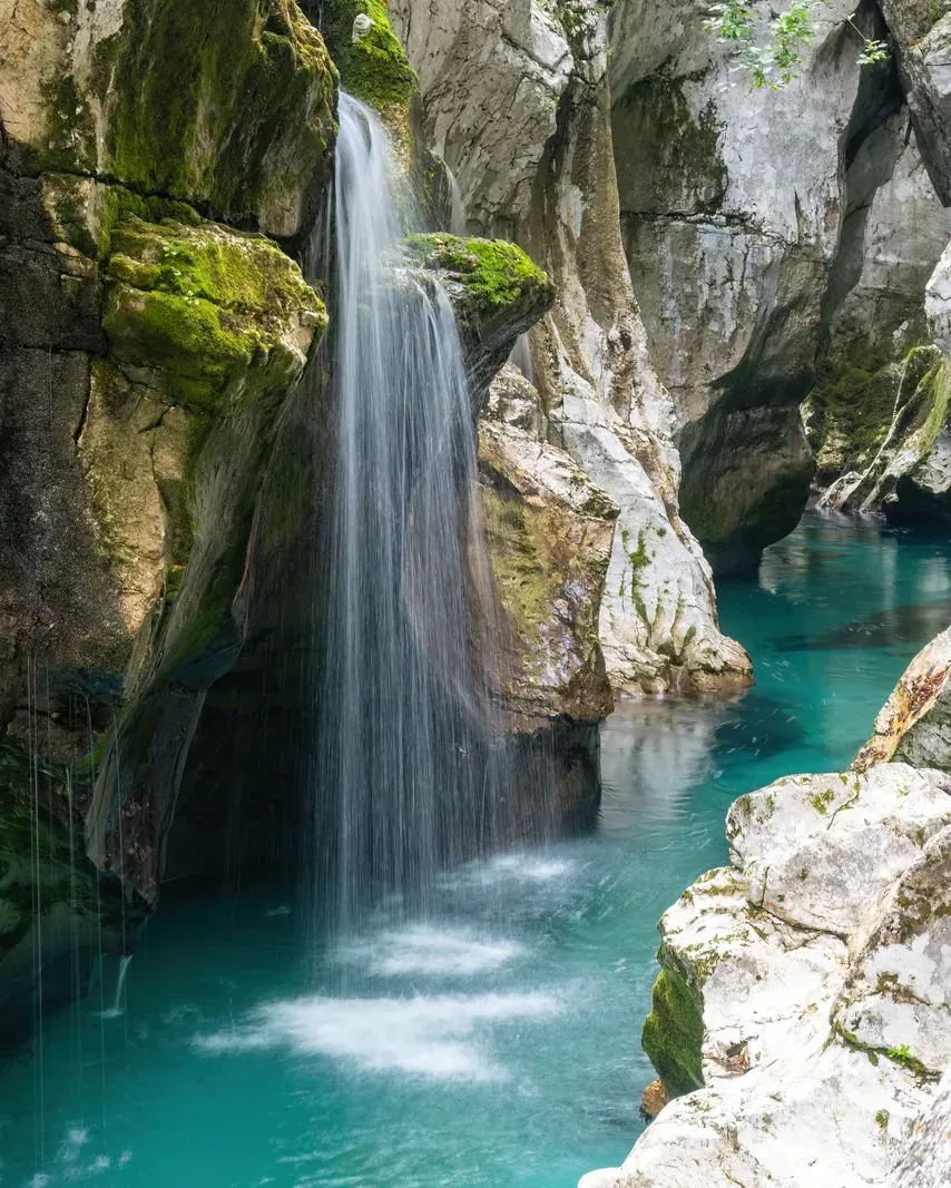
Near the village of Soča, the river has cut its best-known gorge: 750 m long, up to 15 m (49 ft) deep, with the banks in places only 2 m (7 ft) apart. You can see it from the footbridge.

Triglavski narodni park: Great Soča Gorge ↗

The Soča Trail

About 25 km (15.5 mi), technically easy but long. It crosses many suspension bridges and passes the source, the Mlinarica, the Juliana garden, Dom Trenta and the Small and Great Soča gorges.

Triglavski narodni park: Soča Trail ↗

Dom Trenta

The park authority's information centre shows a multivision presentation about the park and an exhibition on nature, cultural landscape and people in the Trenta.

Triglavski narodni park: Soča Trail ↗

Guided on site

Rafting and kayaking are mainly offered from Bovec, below the national park. Through our partner you can book two day tours from Ljubljana or Bled that cross the Vršič Pass into the upper Soča Valley.

Offer photo: Day tour over the Vršič Pass to the Soča Valley

Day trip · offer via GetYourGuide

Day tour over the Vršič Pass to the Soča Valley

Eight to twelve hours by minibus from Bled or Ljubljana: Peričnik Waterfall, the Vršič Pass and the Great Soča Gorge, for anyone who does not want to drive the pass road themselves.

  • 8 to 12 hours
  • Small group up to 8
  • English-speaking guide
  • From Bled or Ljubljana

Start Pick-up from your accommodation or at fixed meeting points: Ljubljanska cesta 1 in Bled, Tivoli Park in Ljubljana.

View offer ↗Ad · partner link · checked 21 Sep 2026

The provider lists entry to the national park as included, but the park does not charge a general entry fee. The tour makes a short trip into Italy to Lake Predil, so you need ID. Rafting and zipline in Bovec and meals cost extra. Provider's product photo · GetYourGuide

Offer photo: From Ljubljana: guided day tour to Soča and Kranjska Gora

Day trip · offer via GetYourGuide

From Ljubljana: guided day tour to Soča and Kranjska Gora

Ten and a half hours with a guide: Most na Soči, Kobarid and Kozjak Waterfall, then up the Soča Valley and over the Vršič Pass to Kranjska Gora.

  • 10.5 hours
  • Pick-up included
  • English-speaking guide
  • Kozjak entry included

Start Pick-up in Ljubljana.

View offer ↗Ad · partner link · checked 21 Sep 2026

Most of the stops (Most na Soči, Kobarid, Kozjak, Boka Waterfall) lie below the national park; the route enters the park via the Trenta and the Vršič. Food and drinks cost extra, pets are not allowed, and you need to bring ID. Provider's product photo · GetYourGuide

Ad · we may earn a commission if you book through this partner link. Offer details checked 21 Sep 2026. See official prices.

03 · Nearby

Onward from here

The upper Soča Valley belongs to Triglav National Park. The park itself has no entry fee; rules, zones and the other sights are in the park profile.

Photo: Bojan Marušič ↗ · CC BY-SA 4.0 ↗

Map

Soča Valley on the terrain map

Seven points, each verified against an OpenStreetMap object. All points are on the Triglav National Park map, with details and photos.

Show on mapTriglav National Park map · 3D terrain

Field book · Soča Valley

checked 21 Sep 2026

01Rules

Rules in the upper valley, stricter than down in Bovec.

Boats only from the launch points

Boating is allowed only below the Great Soča Gorge, launching at Velika korita and taking out at Bunkers or Kršovec.

Triglavski narodni park: FAQs ↗

No swimming in mountain streams

The park authority prohibits swimming in high-mountain lakes and streams, for dogs as well.

Triglavski narodni park: code of conduct ↗

Dogs on a lead, bikes on the road

Dogs stay on a lead in natural areas. Cycling is prohibited away from roads and approved routes.

Triglavski narodni park: code of conduct ↗

Busy in summer

At the counter on the Soča Trail near Trenta, the park authority records a daily average of 4,630 visits. If you want peace and quiet, go early or outside the school holidays.

Triglavski narodni park: Soča Trail ↗

02Soča Valley: frequently asked questions

Short answers, with sources.

Is the Soča Valley in Triglav National Park?

The upper valley is: the source, the Trenta and the Great Soča Gorge. The town of Bovec, where the Soča Trail ends and most rafting trips start, lies outside.

Triglavski narodni park: Soča Trail ↗

How long is the Soča Trail?

About 25 km (15.5 mi) from the source to Bovec. It is technically easy but tiring because of its length; you can walk each section on its own.

Triglavski narodni park: Soča Trail ↗

When can you go boating on the Soča?

In the national park from 15 March to 31 October, at suitable water levels, between 9:00 and 18:00, and only from the designated launch points below the Great Soča Gorge.

Triglavski narodni park: FAQs ↗

Do you have to pay to visit the Soča Valley?

No. The source, the Soča Trail and the Great Soča Gorge are free. Costs apply, for example, for the Mangart Road (€10).

Triglavski narodni park: statement on restrictions and entry fees (8 Sep 2026, in Slovenian) ↗

How do you get to the Soča Valley without a car?

In summer, by bus between Kranjska Gora and Bovec over the Vršič Pass.

Triglavski narodni park: Soča Trail ↗

03Sources and last checked

Operator, municipality and park authority, each fact cited individually.

Places on the map

  • Source of the Soča Karst spring

    The water emerges from a cave with an underground lake and then drops into the riverbed. Start of the Soča Trail.

    Location source ↗
  • Koča pri izviru Soče Hut at the source

    Hut at the start of the Soča Trail and meeting point for the park authority's guided hikes.

    Location source ↗
  • Kugy monument Monument on the Soča Trail

    Monument to the mountaineer and writer Julius Kugy, on the trail through the Trenta.

    Location source ↗
  • Korita Mlinarice Mlinarica gorge

    Side gorge of the Mlinarica, reached from the Soča Trail via a suspension bridge.

    Location source ↗
  • Dom Trenta Information centre

    The park authority's information and education centre, with an exhibition and a multivision show.

    Location source ↗
  • Great Soča Gorge (Velika korita Soče) Gorge, 750 m

    Up to 15 m (49 ft) deep, with the banks in places only 2 m (7 ft) apart; visible from the footbridge.

    Location source ↗
  • Bovec Town outside the park

    End of the Soča Trail and starting point for most rafting and kayaking trips, outside the national park.

    Location source ↗
  1. Triglavski narodni park: Soča Trail ↗
  2. Triglavski narodni park: source of the Soča ↗
  3. Triglavski narodni park: Great Soča Gorge ↗
  4. Triglavski narodni park: Juliana Alpine Botanical Garden ↗
  5. Triglavski narodni park: Lepena Valley ↗
  6. Triglavski narodni park: FAQs ↗
  7. Triglavski narodni park: code of conduct ↗
  8. Triglavski narodni park: guided hike on the Soča Trail ↗
  9. Kranjska Gora: Vršič Pass ↗
  10. Triglavski narodni park: Mangart Road ↗
  11. Triglavski narodni park: statement on restrictions and entry fees (8 Sep 2026, in Slovenian) ↗

How current is this information?

Researched 21 Sep 2026. Not a live status. Prices, timetables and opening hours change; please check with the operator before you travel.

Current information from the operator ↗

Image and map credits

Location sources: every point on the map links to the OpenStreetMap object its coordinate comes from. Markers do not imply that access is permitted.

End of the field book · Park authority ↗