All places Photo: MKrolik-WMF ↗ · CC0 ↗
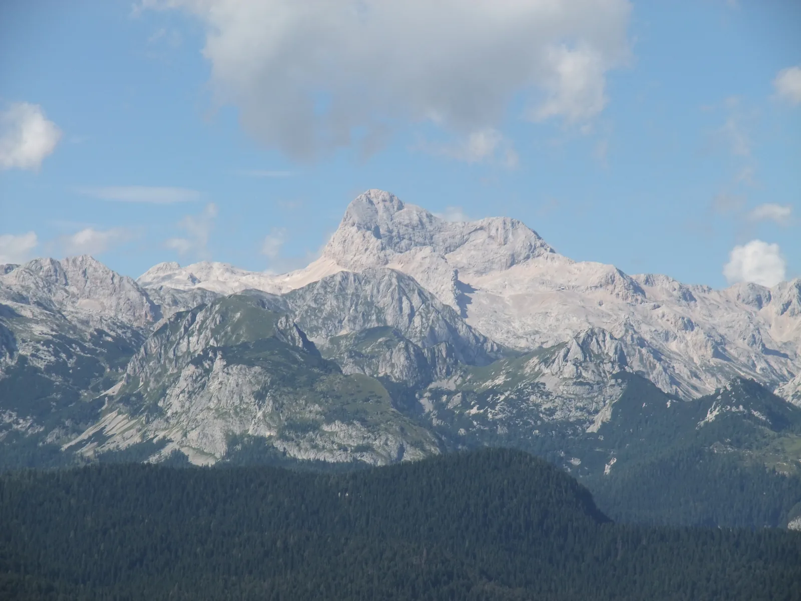
Triglav At 2,864 m (9,396 ft), the highest mountain in Slovenia. The Aljaž Tower from 1895 stands on the summit.
Slovenia's highest mountain, and the only one with a sheet-metal tower on its summit.
Coordinates 46.378298, 13.836582
Elevation 2,864 m (9,396 ft)
Summit tower Aljaž Tower, erected on 7 August 1895
Tower height 1.9 m (6.2 ft)
Cultural monument since 1999 Add to your Triglav National Park visit Open in OpenStreetMap ↗ Location source ↗
46.37830, 13.83658
All places Photo: Janezdrilc ↗ · CC0 1.0 ↗
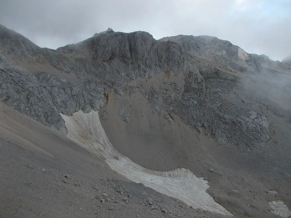
Triglavski dom na Kredarici The hut below the summit and the base for most ascents. Snow lies here on about 265 days a year.
Add to your Triglav National Park visit Open in OpenStreetMap ↗ Location source ↗
46.37895, 13.84879
All places Photo: Frerk Meyer from Buchholz in der Nordheide, Niedersachsen ↗ · CC BY-SA 2.0 ↗
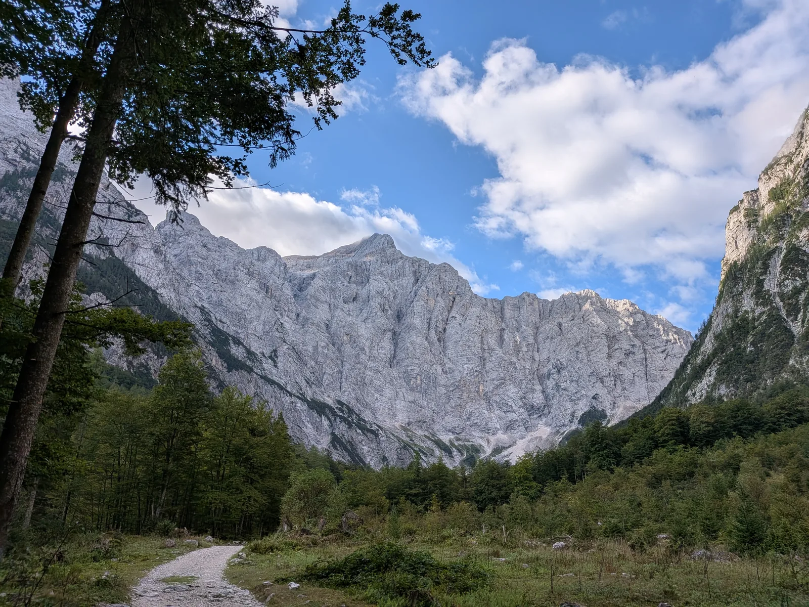
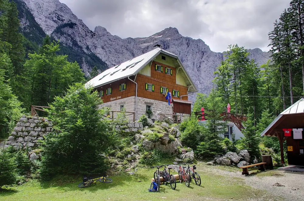
Aljažev dom v Vratih The hut at the head of the Vrata Valley, directly below the Triglav North Face. Starting point for Triglav and Škrlatica.
Add to your Triglav National Park visit Open in OpenStreetMap ↗ Location source ↗
46.40903, 13.84342
All places Photo: Davide Degrassi from Trieste, Italia ↗ · CC BY 2.0 ↗
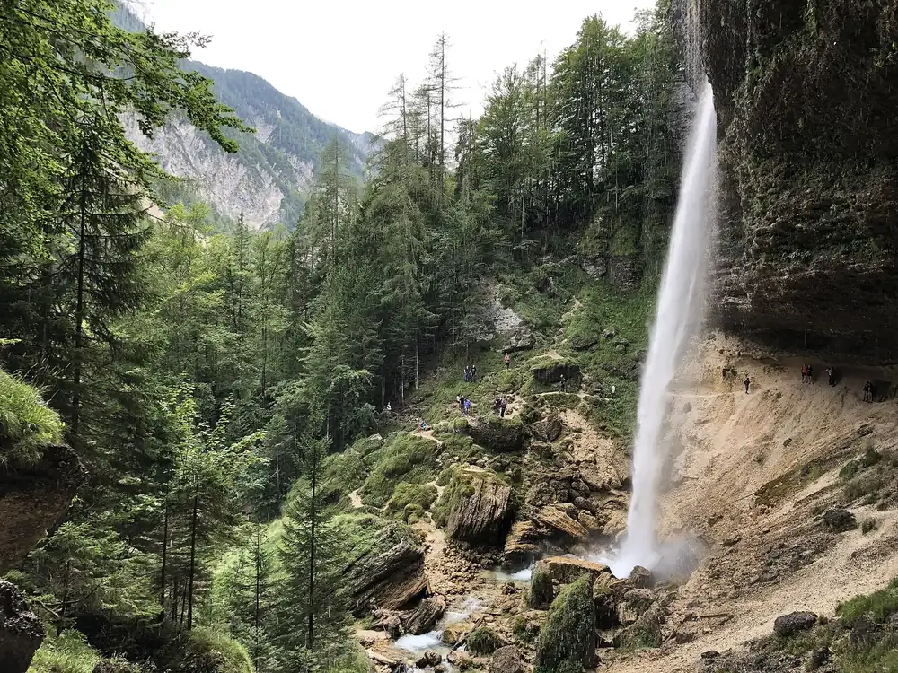
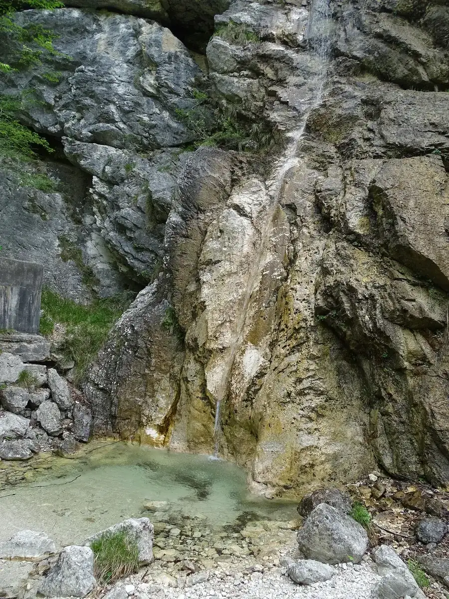
Peričnik Waterfall The lower fall drops 52 m (171 ft) freely; with sturdy shoes you can walk behind it.
Add to your Triglav National Park visit Open in OpenStreetMap ↗ Location source ↗
46.43923, 13.89353
All places
Slovenian Alpine Museum In Mojstrana. The Triglavska Bistrica trail into the Vrata Valley starts here, and the park authority's electric bus to Peričnik stops here.
Add to your Triglav National Park visit Open in OpenStreetMap ↗ Location source ↗
46.45794, 13.93621
All places Photo: Zairon ↗ · CC BY-SA 4.0 ↗
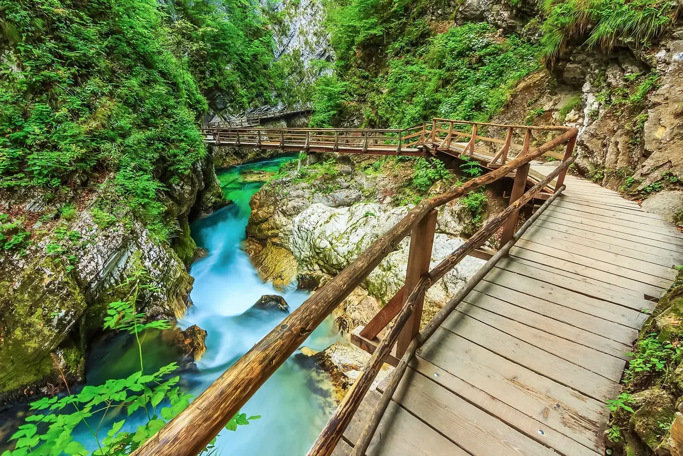
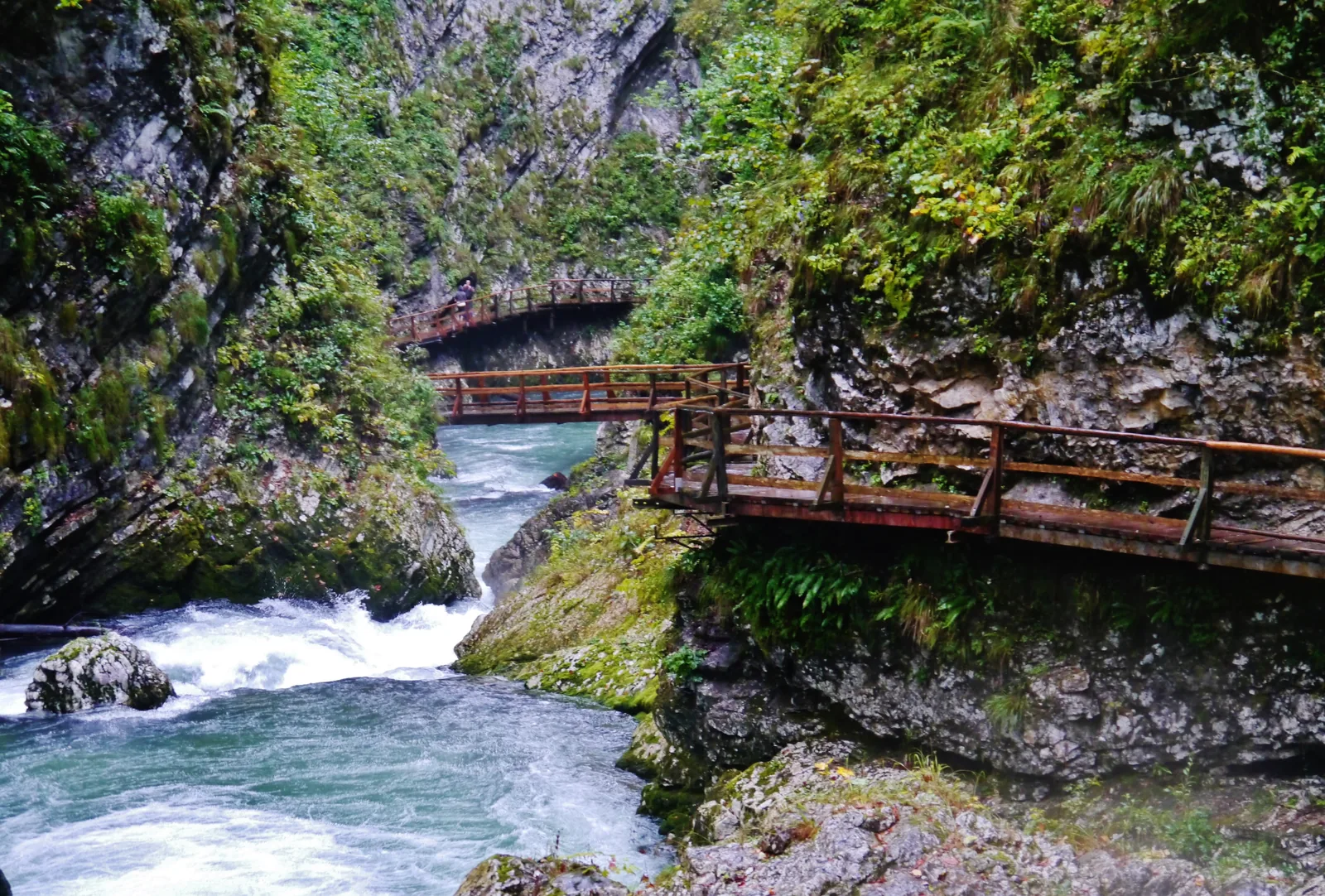
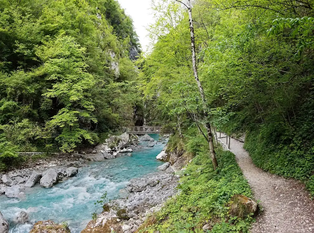
Vintgar Gorge 1.6 km (1 mi) of wooden boardwalks above the Radovna, 4 km (2.5 mi) from Bled. Entry only with a timed ticket, from April to October.
Wooden boardwalks above the Radovna, and the one place in the park you cannot enter without a time slot.
Coordinates 46.397223, 14.088581
Length 1.6 km (1 mi)
Walking time about 45 minutes; about 3 hours with the themed trail back
Entry €15 adults, €5 children up to 15, dogs €3
Helmet compulsory, issued at the visitor centre
Children under 3 not recommended Own page
Vintgar Gorge 1.6 km (1 mi) of wooden boardwalks above the Radovna: no more than 245 people at a time, and only in one direction.
Vintgar combined ticket, as of 21 Sep 2026 Adults, students, seniors €15.00 Children up to 15 €5.00 Dogs €3.00
Tickets & prices
Guided from here · Ad
Partner links: we may earn a commission if you book. Dates and prices with the provider.
Add to your Triglav National Park visit Open in OpenStreetMap ↗ Location source ↗
46.39722, 14.08858
All places Photo: Aleš Krivec ↗ · CC0 ↗
Lake Bohinj Slovenia's largest natural lake, fed by the Savica. Boating is allowed all year without a permit.
Slovenia's largest natural lake lies in a glacial basin, and water flows straight through it.
Coordinates 46.282265, 13.864531
Volume almost 100 million m³
Surface in summer up to 24 °C (75 °F)
Water level rises by over 3 m (10 ft) in heavy rain
Inflow Savica
Outflow Jezernica, then Sava Bohinjka Own page
Lake Bohinj A glacial lake without a hotel shoreline: electric boats, two swimming areas and a waterfall that comes out of the rock face.
Prices at Lake Bohinj, as of 21 Sep 2026 Panoramic boat one way, adults €9.00 Panoramic boat return, adults €14.00 Panoramic boat one way, children 6–14 €5.50
Prices & parking
Add to your Triglav National Park visit Open in OpenStreetMap ↗ Location source ↗
46.28227, 13.86453
All places Photo: Tiia Monto ↗ · CC BY-SA 3.0 ↗
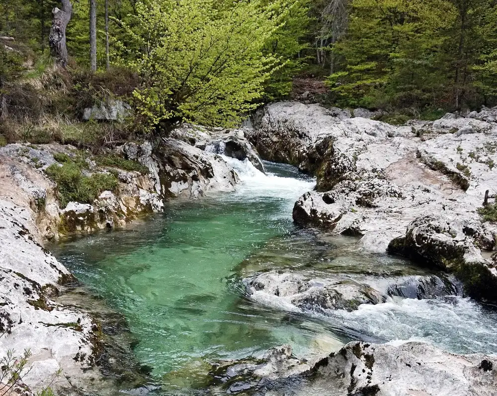
Mostnica Gorge A gorge about 2 km (1.2 mi) long near Stara Fužina, 20 m (66 ft) deep at the Devil's Bridge and in places only one metre wide.
Add to your Triglav National Park visit Open in OpenStreetMap ↗ Location source ↗
46.29812, 13.88549
All places Photo: Tiia Monto ↗ · CC BY-SA 3.0 ↗
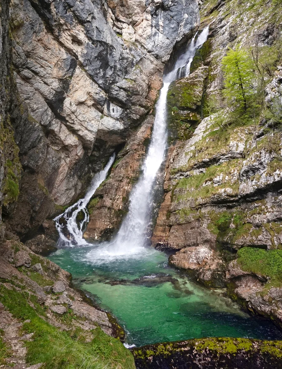
Savica Waterfall 78 m (256 ft) in two streams, reached by 553 steps from the car park at Koča pri Savici.
A waterfall that comes out of the rock face: fed from the Triglav Lakes Valley, through a cave.
Coordinates 46.293156, 13.796307
Height 78 m (256 ft), in two streams
Path 553 steps, 20 to 25 minutes
Entry €4 from age 16, children free
Free for everyone on the first Sunday of the month
Open Sep 8:00–19:00, Oct 9:00–17:00 Own page
Lake Bohinj A glacial lake without a hotel shoreline: electric boats, two swimming areas and a waterfall that comes out of the rock face.
Prices & parking
Add to your Triglav National Park visit Open in OpenStreetMap ↗ Location source ↗
46.29316, 13.79631
All places Photo: Bojan Marušič ↗ · CC BY-SA 4.0 ↗
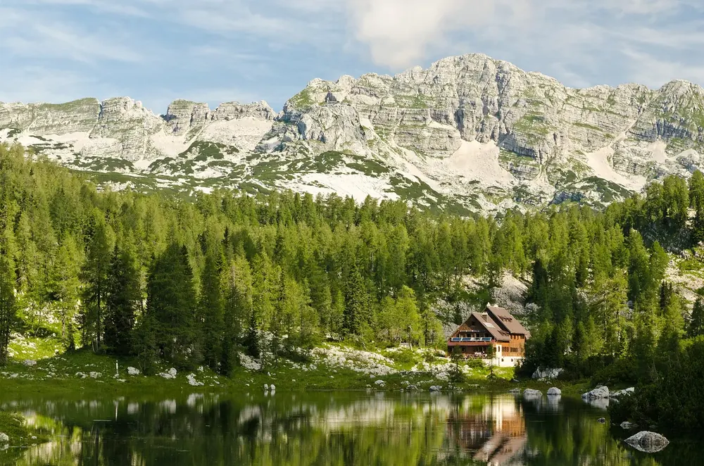
Koča pri Triglavskih jezerih The hut in the Triglav Lakes Valley. Protection of the area began here in 1924. Swimming in the lakes is prohibited.
Add to your Triglav National Park visit Open in OpenStreetMap ↗ Location source ↗
46.31868, 13.77904
All places Photo: Petar Milošević ↗ · CC BY-SA 3.0 ↗
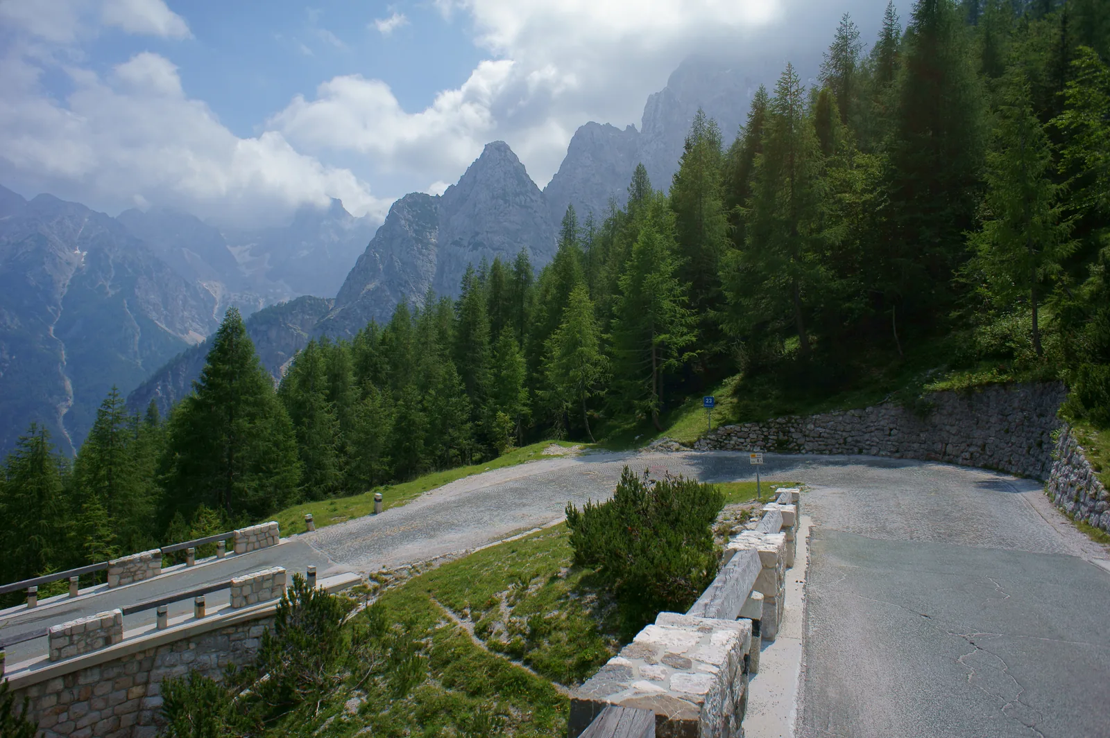
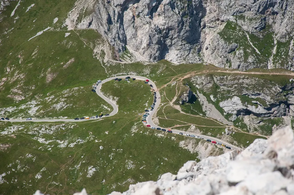
Vršič Pass At 1,611 m (5,285 ft), Slovenia's highest road pass, with 50 hairpin bends between Kranjska Gora and Trenta.
Slovenia's highest pass road, built by prisoners of war during the First World War.
Coordinates 46.434779, 13.743712
Pass height 1,611 m (5,285 ft)
Hairpin bends 50: 24 on the Kranjska Gora side, 26 towards Trenta
In winter partly closed; by car only as far as Koča na Gozdu
Summer bus Kranjska Gora – Vršič – Bovec Add to your Triglav National Park visit Open in OpenStreetMap ↗ Location source ↗
46.43478, 13.74371
All places Photo: Helmlechner ↗ · CC0 1.0 ↗
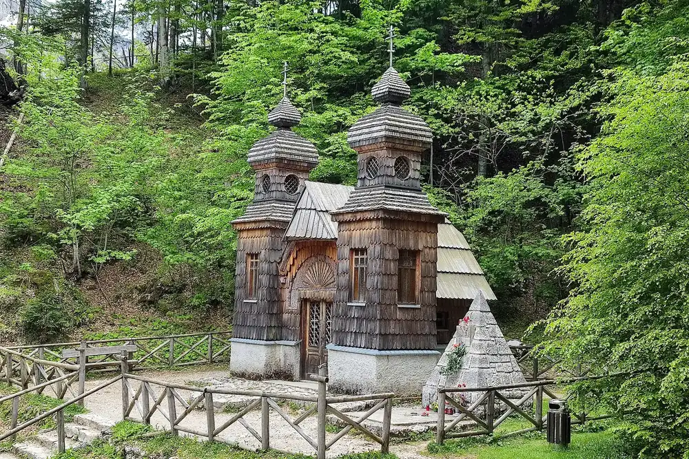
Russian Chapel Built in January 1916 for the prisoners of war who built the road over the Vršič.
Add to your Triglav National Park visit Open in OpenStreetMap ↗ Location source ↗
46.44256, 13.76768
All places Photo: Bojan Marušič ↗ · CC BY-SA 4.0 ↗
Source of the Soča Karst spring in Zadnja Trenta: the water emerges from a cave with an underground lake and then drops into the riverbed. The Soča Trail to Bovec starts here.
Own page
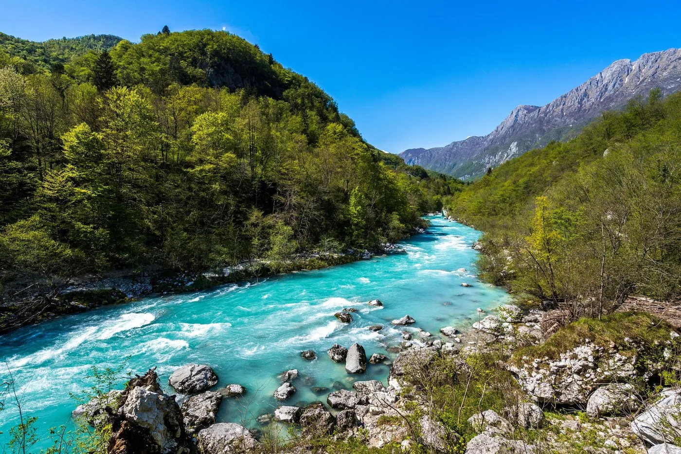
Soča Valley The emerald river rises as a karst spring in the Trenta, and only its upper valley belongs to the national park.
Rules & trails
Guided from here · Ad
Partner links: we may earn a commission if you book. Dates and prices with the provider.
Add to your Triglav National Park visit Open in OpenStreetMap ↗ Location source ↗
46.41184, 13.72408
All places Photo: Ljuba brank ↗ · CC BY-SA 4.0 ↗
Juliana Alpine Botanical Garden Slovenia's only alpine botanical garden, founded in 1926. Open from 1 May to 30 September.
Add to your Triglav National Park visit Open in OpenStreetMap ↗ Location source ↗
46.39887, 13.74543
All places
Dom Trenta The park authority's information and education centre in the Trenta Valley, with an exhibition and accommodation.
Own page
Soča Valley The emerald river rises as a karst spring in the Trenta, and only its upper valley belongs to the national park.
Rules & trails
Add to your Triglav National Park visit Open in OpenStreetMap ↗ Location source ↗
46.38049, 13.75250
All places Photo: Krzysztof Golik ↗ · CC BY-SA 4.0 ↗
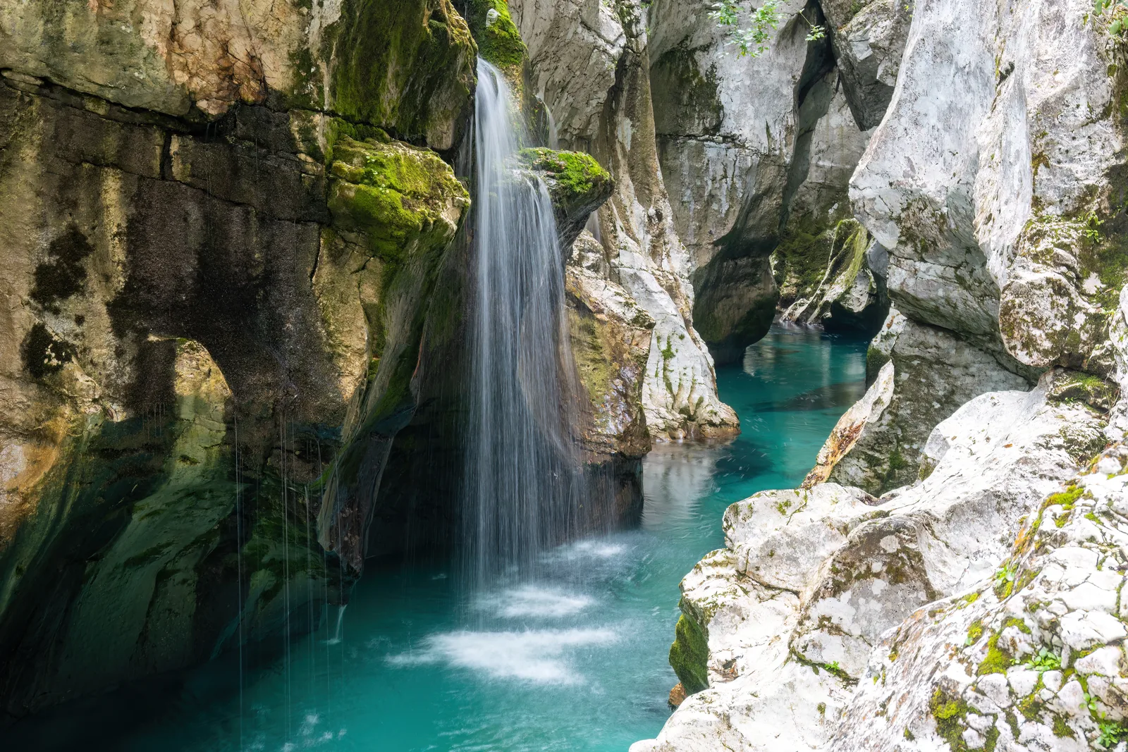
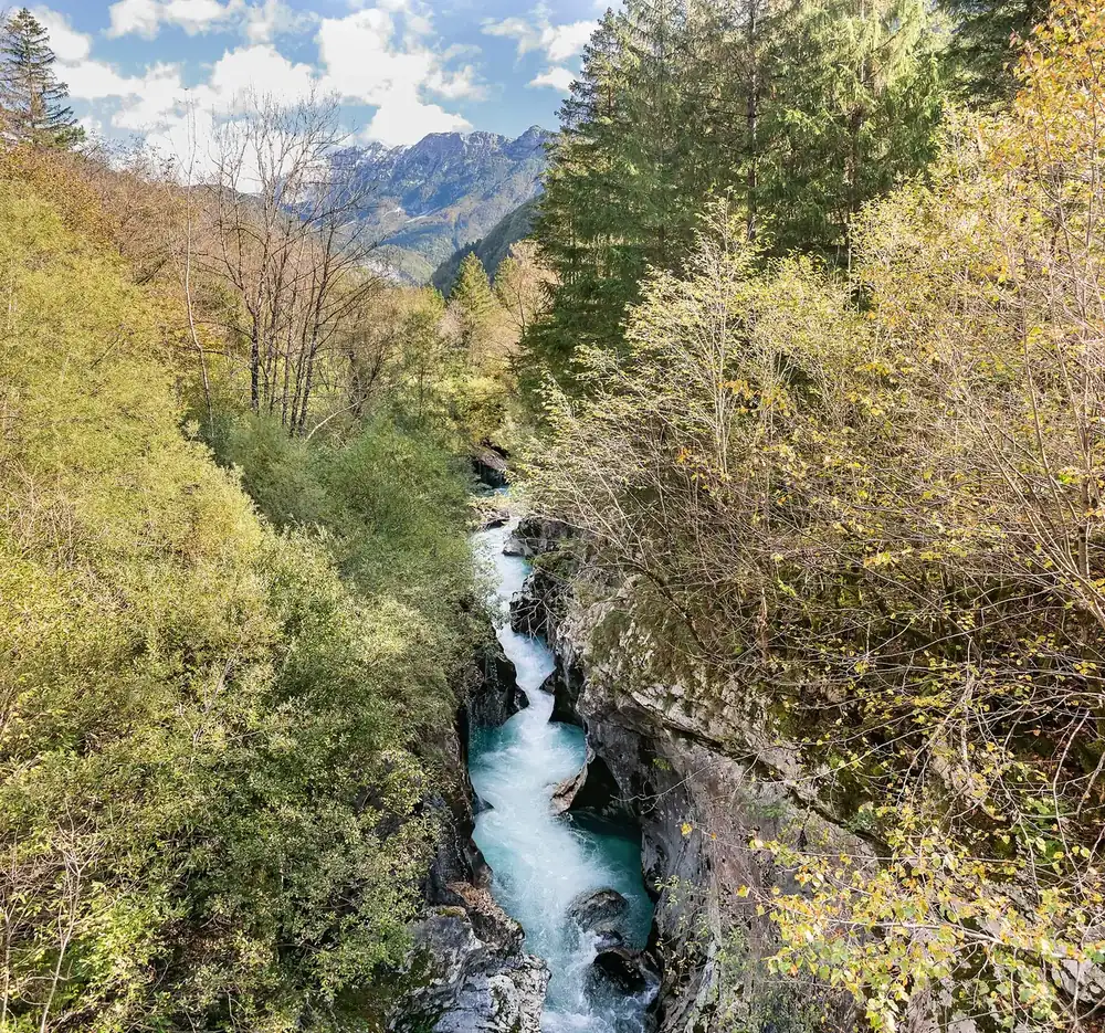
Great Soča Gorge (Velika korita Soče) 750 m long, up to 15 m (49 ft) deep, with the banks in places only 2 m (7 ft) apart. Visible from the footbridge.
Own page
Soča Valley The emerald river rises as a karst spring in the Trenta, and only its upper valley belongs to the national park.
Rules & trails
Add to your Triglav National Park visit Open in OpenStreetMap ↗ Location source ↗
46.33844, 13.64621
All places Photo: Erik from Laagri, Estonia ↗ · CC BY 2.0 ↗
Mangart Road Slovenia's highest mountain road, currently open to traffic up to kilometre 9. The hut at the saddle is closed for rebuilding.
Add to your Triglav National Park visit Open in OpenStreetMap ↗ Location source ↗
46.43888, 13.64052
All places Photo: Tiia Monto ↗ · CC BY-SA 3.0 ↗
Tolmin Gorges (Tolminska korita) At 180 m (591 ft), the lowest point of the park. A circular trail of about 2 km (1.2 mi) leads through the gorges of the Tolminka and Zadlaščica.
Add to your Triglav National Park visit Open in OpenStreetMap ↗ Location source ↗
46.19971, 13.74202
All places
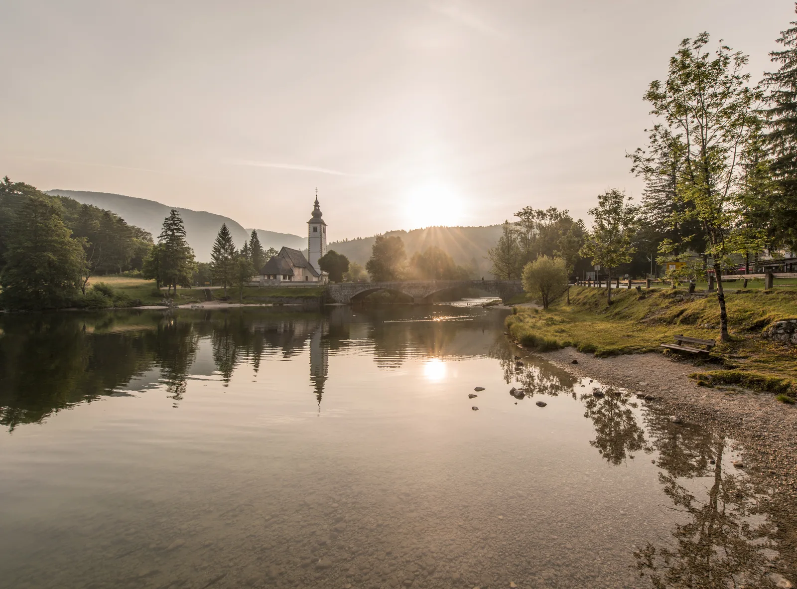
Ribčev Laz Village at the eastern end of the lake with a church, stone bridge and boat landing. The landing has steps and no step-free access.
Own page
Lake Bohinj A glacial lake without a hotel shoreline: electric boats, two swimming areas and a waterfall that comes out of the rock face.
Prices & parking
Add to your Triglav National Park visit Open in OpenStreetMap ↗ Location source ↗
46.27409, 13.88830
All places
Ukanc Village at the western end. The boat landing is inside Camp Bohinj and is wheelchair accessible; one of the two swimming areas is here too.
Own page
Lake Bohinj A glacial lake without a hotel shoreline: electric boats, two swimming areas and a waterfall that comes out of the rock face.
Prices & parking
Add to your Triglav National Park visit Open in OpenStreetMap ↗ Location source ↗
46.27929, 13.82998
All places
Fužinski zaliv Bay on the north-eastern shore, one of the two designated swimming areas. Dogs may not swim here.
Own page
Lake Bohinj A glacial lake without a hotel shoreline: electric boats, two swimming areas and a waterfall that comes out of the rock face.
Prices & parking
Add to your Triglav National Park visit Open in OpenStreetMap ↗ Location source ↗
46.28523, 13.88074
All places
Vogel cable car Valley station of the cable car up Vogel, near Ukanc.
Own page
Lake Bohinj A glacial lake without a hotel shoreline: electric boats, two swimming areas and a waterfall that comes out of the rock face.
Prices & parking
Add to your Triglav National Park visit Open in OpenStreetMap ↗ Location source ↗
46.26976, 13.83810
All places
Bohinjska Bistrica station Station for arriving by train and changing to the seasonal buses; also the car train to Most na Soči.
Own page
Lake Bohinj A glacial lake without a hotel shoreline: electric boats, two swimming areas and a waterfall that comes out of the rock face.
Prices & parking
Add to your Triglav National Park visit Open in OpenStreetMap ↗ Location source ↗
46.27427, 13.95916
All places
Koča pri izviru Soče Hut at the start of the Soča Trail and meeting point for the park authority's guided hikes.
Own page
Soča Valley The emerald river rises as a karst spring in the Trenta, and only its upper valley belongs to the national park.
Rules & trails
Add to your Triglav National Park visit Open in OpenStreetMap ↗ Location source ↗
46.40951, 13.72546
All places
Kugy monument Monument to the mountaineer and writer Julius Kugy, on the trail through the Trenta.
Own page
Soča Valley The emerald river rises as a karst spring in the Trenta, and only its upper valley belongs to the national park.
Rules & trails
Add to your Triglav National Park visit Open in OpenStreetMap ↗ Location source ↗
46.40427, 13.74299
All places
Korita Mlinarice Side gorge of the Mlinarica, reached from the Soča Trail via a suspension bridge.
Own page
Soča Valley The emerald river rises as a karst spring in the Trenta, and only its upper valley belongs to the national park.
Rules & trails
Add to your Triglav National Park visit Open in OpenStreetMap ↗ Location source ↗
46.40616, 13.75450
All places
Bovec End of the Soča Trail and starting point for most rafting and kayaking trips, outside the national park.
Own page
Soča Valley The emerald river rises as a karst spring in the Trenta, and only its upper valley belongs to the national park.
Rules & trails
Add to your Triglav National Park visit Open in OpenStreetMap ↗ Location source ↗
46.33858, 13.55242
All places
Vintgar visitor centre Start of the trail, with helmets, a bistro and information, but no tickets. Not accessible by car; only bicycles and motorcycles may park here.
Own page
Vintgar Gorge 1.6 km (1 mi) of wooden boardwalks above the Radovna: no more than 245 people at a time, and only in one direction.
Tickets & prices
Add to your Triglav National Park visit Open in OpenStreetMap ↗ Location source ↗
46.39359, 14.08569
All places
Car park P1 Vintgar Lip The only official car park and the only ticket office. The shuttle runs from here to the visitor centre about every seven minutes. Up to four hours of parking is included in the ticket.
Own page
Vintgar Gorge 1.6 km (1 mi) of wooden boardwalks above the Radovna: no more than 245 people at a time, and only in one direction.
Tickets & prices
Add to your Triglav National Park visit Open in OpenStreetMap ↗ Location source ↗
46.37819, 14.08494
All places
Šum waterfall The waterfall at the gorge exit. Swimming is prohibited here, as it is throughout the gorge.
Own page
Vintgar Gorge 1.6 km (1 mi) of wooden boardwalks above the Radovna: no more than 245 people at a time, and only in one direction.
Tickets & prices
Add to your Triglav National Park visit Open in OpenStreetMap ↗ Location source ↗
46.40072, 14.09916
All places
St Catherine's Church At the start of the themed return trail over Hom hill, next to the Jurček bistro.
Own page
Vintgar Gorge 1.6 km (1 mi) of wooden boardwalks above the Radovna: no more than 245 people at a time, and only in one direction.
Tickets & prices
Add to your Triglav National Park visit Open in OpenStreetMap ↗ Location source ↗
46.39453, 14.10803