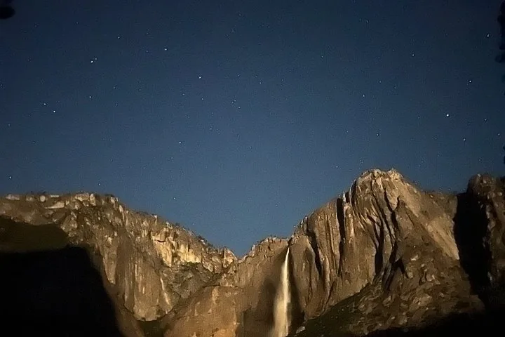
All places Photo: Almonroth ↗ · CC BY-SA 3.0 ↗
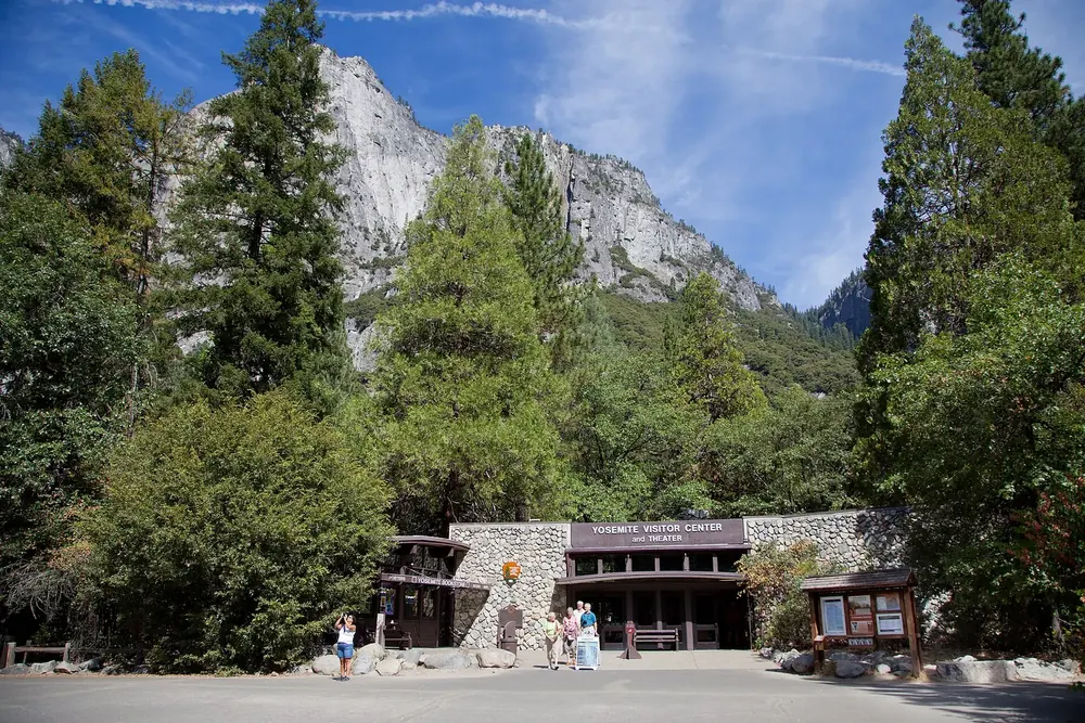
Yosemite Valley Visitor Center The visitor centre in Yosemite Village, the main point of contact in the valley. Shops, the post office and the stops of the free valley shuttle are all around it.
Guided from here · Ad
Partner links: we may earn a commission if you book. Dates and prices with the provider.
Add to your Yosemite National Park visit Open in OpenStreetMap ↗ Location source ↗
37.74874, -119.58717
All places Photo: Supercarwaar ↗ · CC BY-SA 4.0 ↗
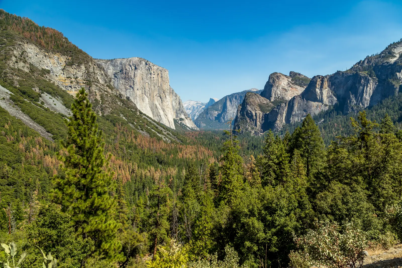
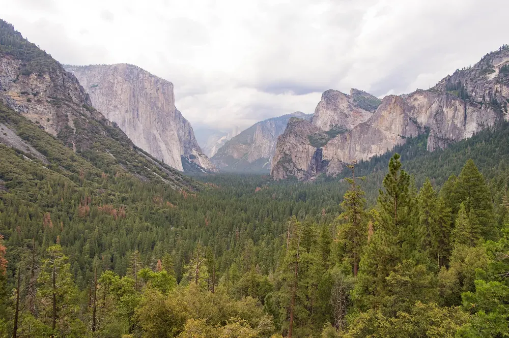
Tunnel View The viewpoint on Wawona Road where almost every tour begins: El Capitan on the left, Bridalveil Fall on the right, Half Dome deep in the valley.
Guided from here · Ad
Partner links: we may earn a commission if you book. Dates and prices with the provider.
Add to your Yosemite National Park visit Open in OpenStreetMap ↗ Location source ↗
37.71557, -119.67689
All places Photo: Carol M. Highsmith ↗ · Public domain ↗
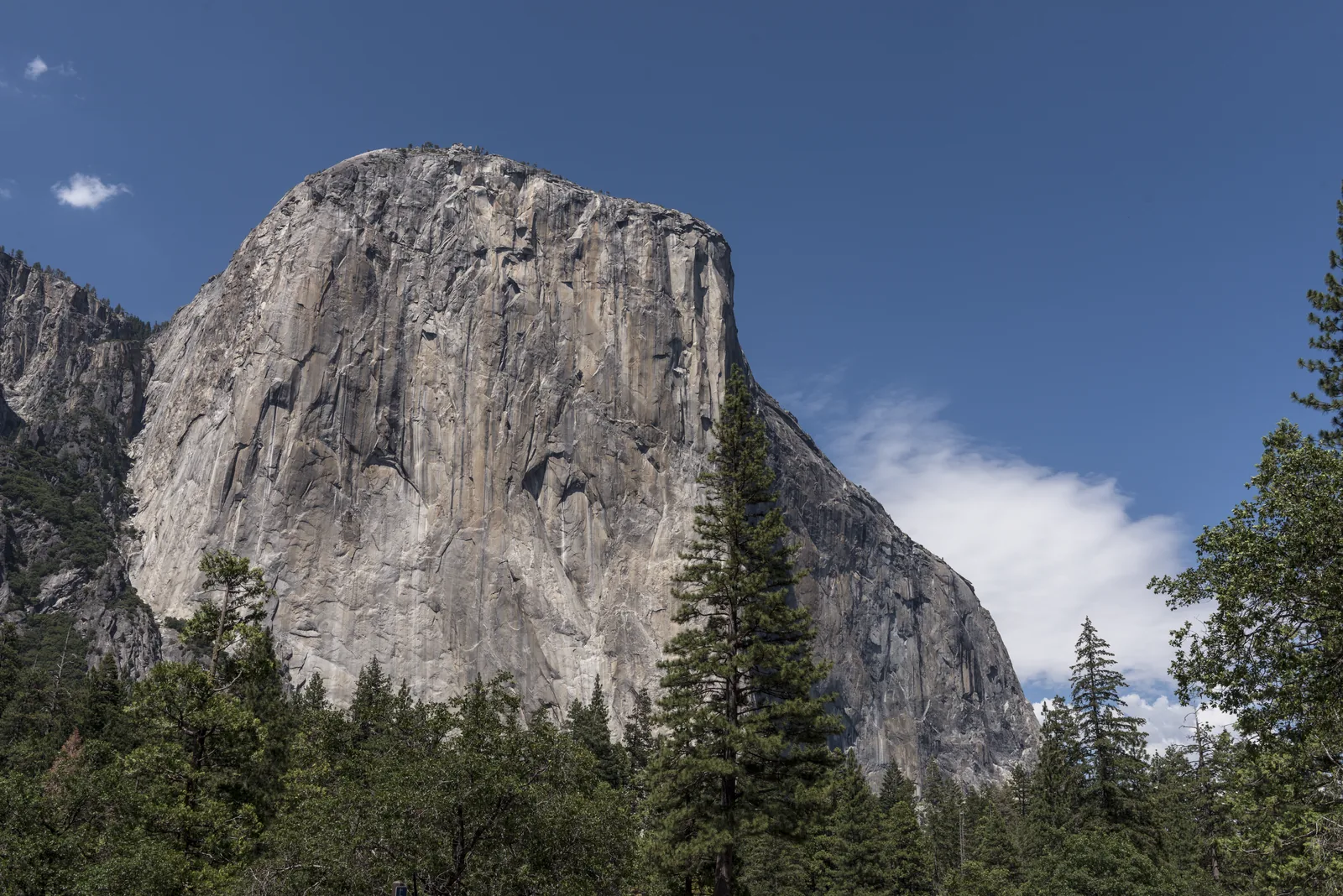
El Capitan The granite wall at the valley entrance, famous worldwide for climbing. From the valley floor, climbers show up as dots on the wall.
The wall at the valley entrance where modern climbing came of age.
Coordinates 37.734219, −119.637614
Location north side of the valley, just past the valley entrance
What you see climbers as dots on the wall, often best with binoculars
Permit needed for nights on the wall
Closures some routes closed from 1 March to 15 July for peregrine falcons Add to your Yosemite National Park visit Open in OpenStreetMap ↗ Location source ↗
37.73422, -119.63761
All places Photo: Eric Kilby from Somerville, MA, USA ↗ · CC BY-SA 2.0 ↗
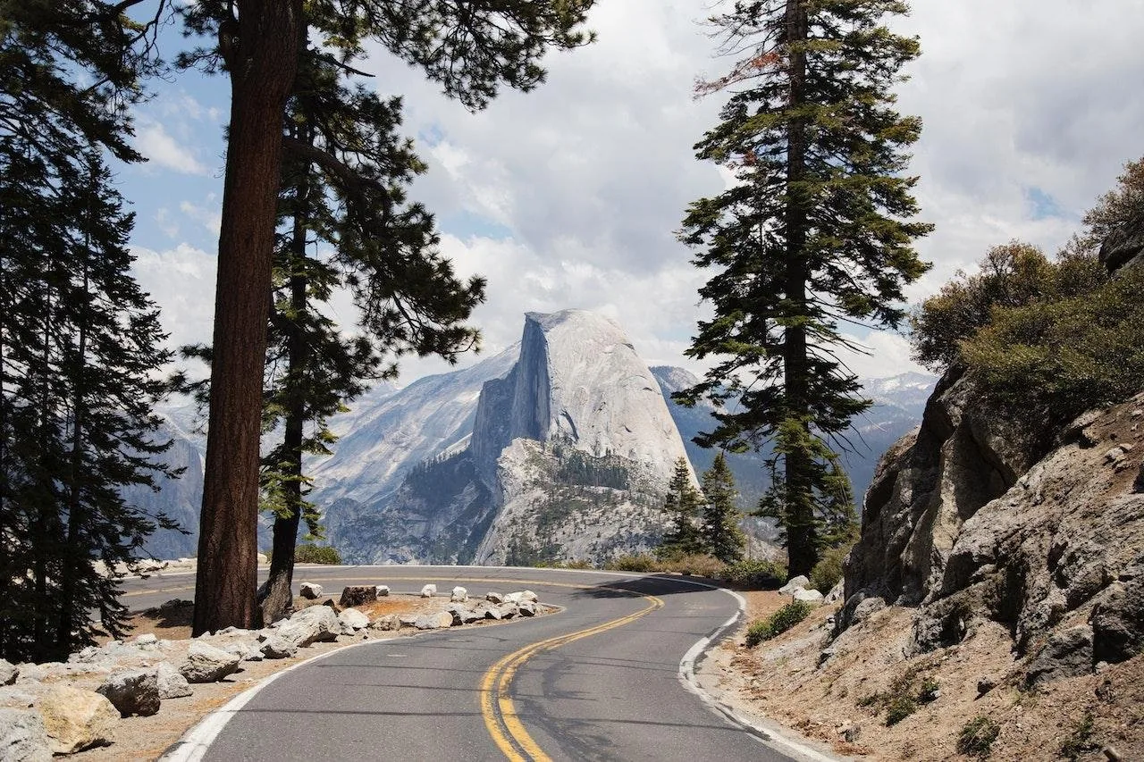
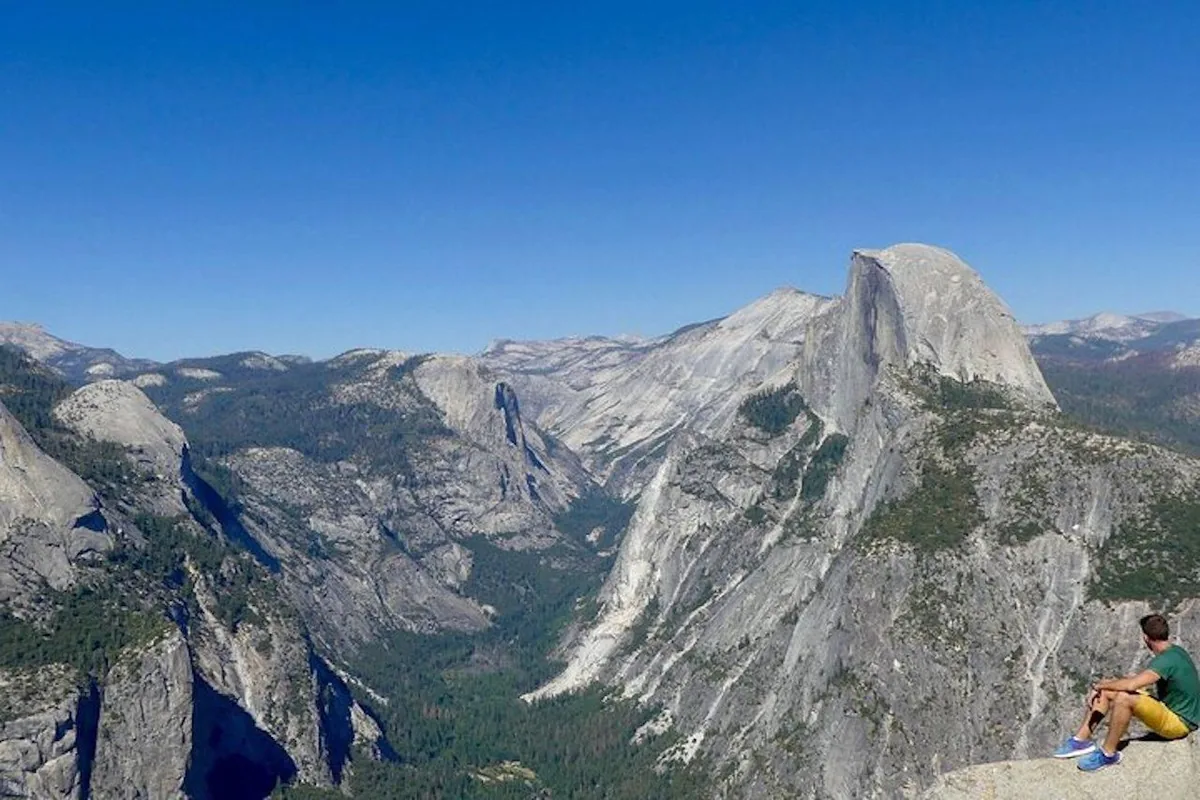
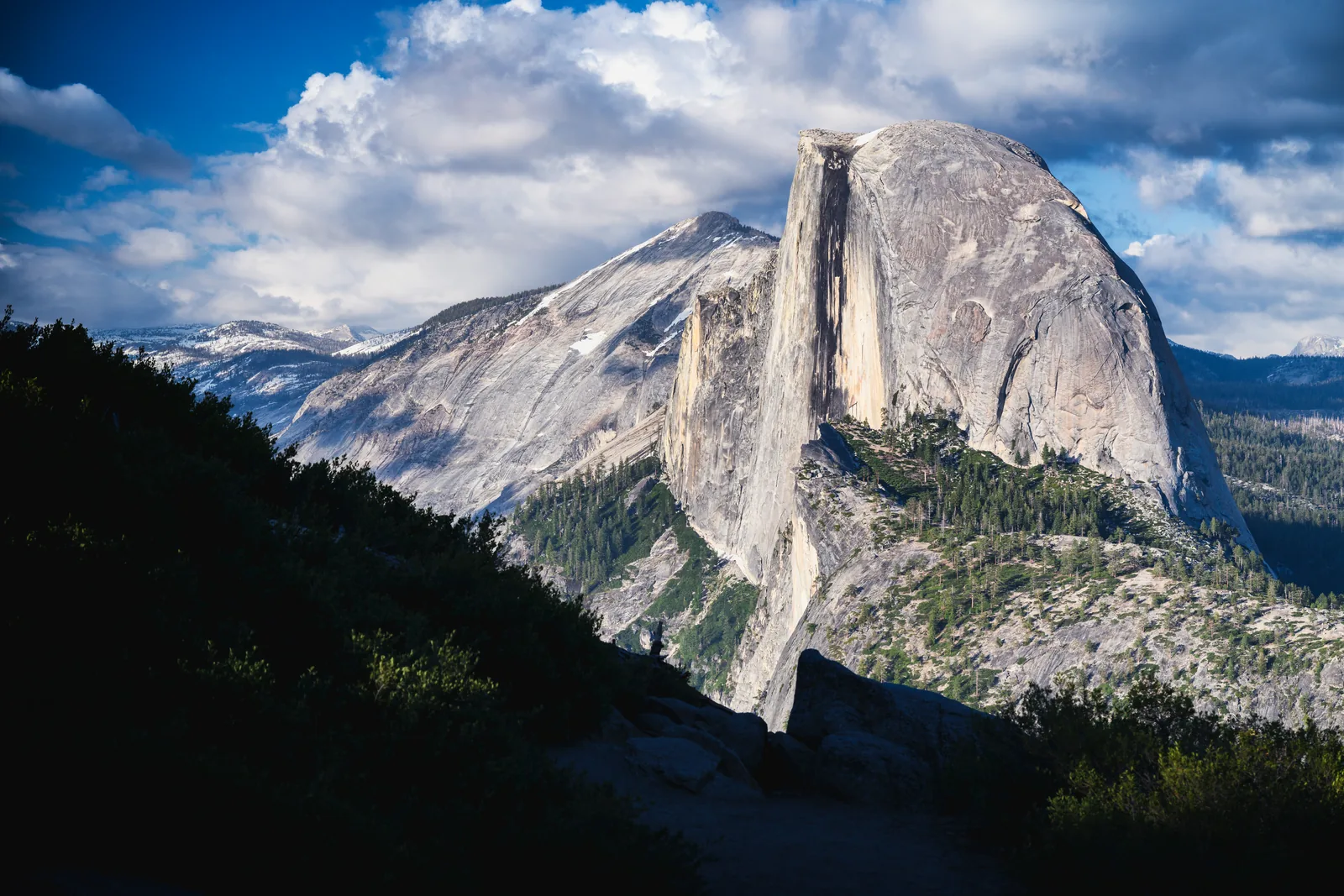
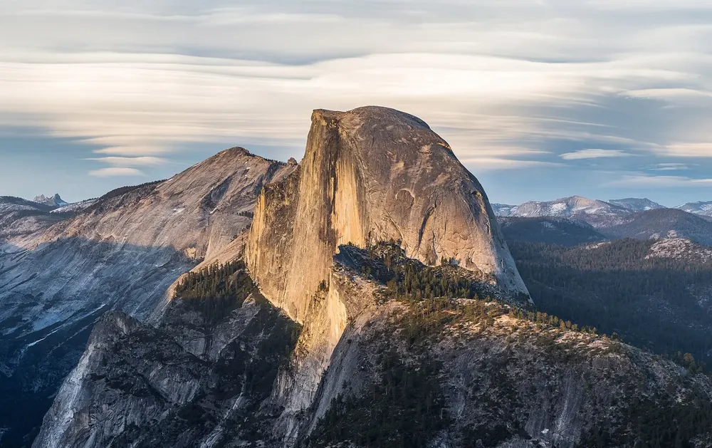
Half Dome The split granite dome above the valley. The climb up the cables is allowed only with a permit, and only while the cables are up.
The summit that needs a lottery win, and ten to twelve hours.
Coordinates 37.746001, −119.533253
Distance 14 to 16 miles (23 to 26 km) round trip
Elevation gain 4,800 feet (1,460 m)
Permit required while the cables are up
Quota no more than 300 people a day
Cables Friday before the last Monday in May until after the second Monday in October Add to your Yosemite National Park visit Open in OpenStreetMap ↗ Location source ↗
37.74600, -119.53325
All places Photo: Diliff ↗ · CC BY-SA 3.0 ↗
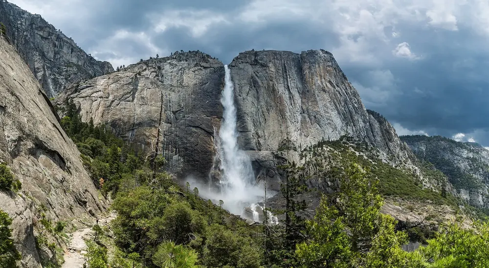
Upper Yosemite Fall The upper of the three Yosemite Falls, 1,430 feet (436 m) high. It carries water from about November to July; in August it is often dry.
Add to your Yosemite National Park visit Open in OpenStreetMap ↗ Location source ↗
37.75697, -119.59677
All places Photo: dconvertini ↗ · CC BY-SA 2.0 ↗
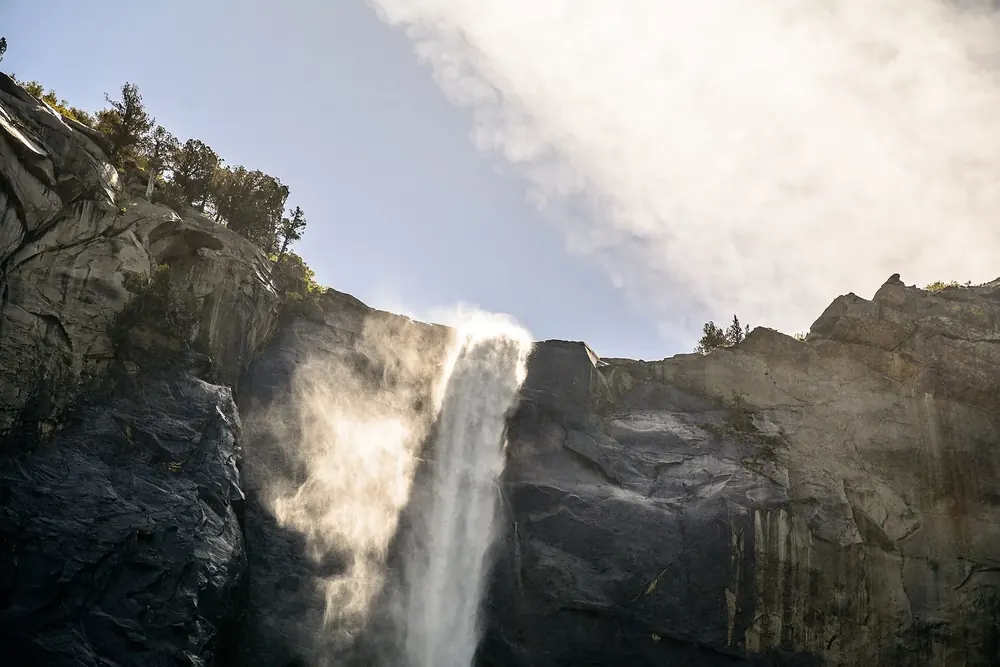
Bridalveil Fall The waterfall at the valley entrance, the only large one that flows all year. A few minutes' walk from the car park.
Add to your Yosemite National Park visit Open in OpenStreetMap ↗ Location source ↗
37.71681, -119.64677
All places Photo: Diliff ↗ · CC BY-SA 3.0 ↗
Glacier Point A viewpoint 3,214 feet above Curry Village, about 980 metres above the valley floor. From the valley it is 30 miles (48 km), about an hour's drive.
Add to your Yosemite National Park visit Open in OpenStreetMap ↗ Location source ↗
37.73067, -119.57367
All places Photo: Bradley Weber ↗ · CC BY 2.0 ↗
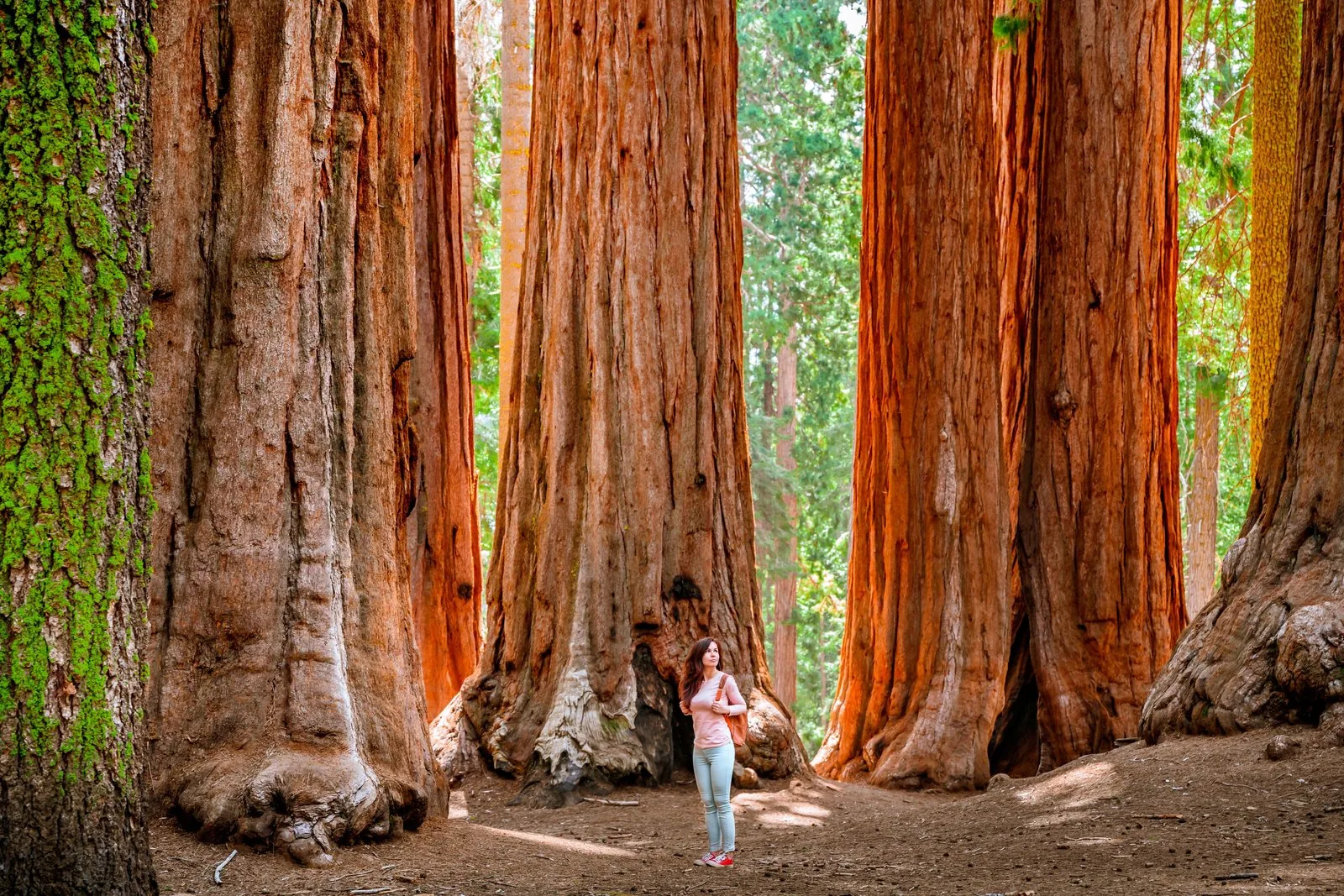
Mariposa Grove Welcome Plaza Car park and shuttle stop at the South Entrance. The free shuttle runs from here into the sequoia grove; private cars get in only with a disability placard.
The grove where the national park idea took root, protected since 1864.
Coordinates 37.506616, −119.630287 (Welcome Plaza)
Protected since 1864
Access only with a disability placard, otherwise by shuttle
Shuttle from 15 April at the earliest, until 30 November at the latest
Best-known tree Grizzly Giant
Reopened in June 2018 after three years of restoration Add to your Yosemite National Park visit Open in OpenStreetMap ↗ Location source ↗
37.50662, -119.63029
All places Photo: Dietmar Rabich ↗ · CC BY-SA 4.0 ↗
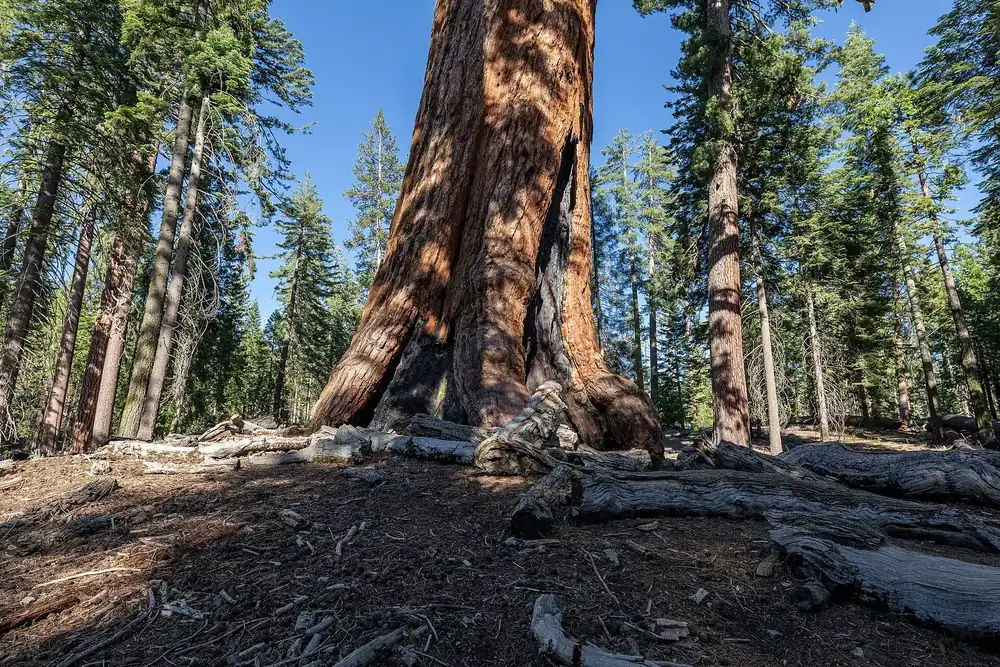
Grizzly Giant The best-known giant sequoia in the grove, reached on the Grizzly Giant Loop Trail.
Add to your Yosemite National Park visit Open in OpenStreetMap ↗ Location source ↗
37.50355, -119.60072
All places Photo: Rennett Stowe from USA ↗ · CC BY 2.0 ↗
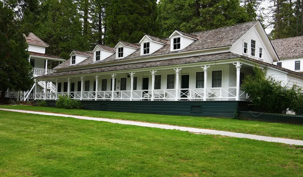
Wawona A settlement in the south of the park with a hotel, a campground and a visitor contact station: the base for the South Entrance and the sequoia grove.
Add to your Yosemite National Park visit Open in OpenStreetMap ↗ Location source ↗
37.53687, -119.65492
All places Photo: Gowittylb ↗ · CC BY-SA 3.0 ↗
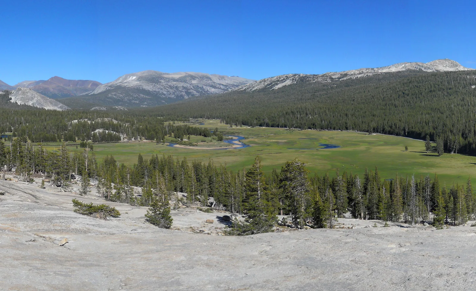
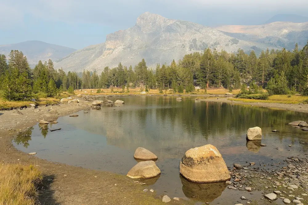
Tuolumne Meadows The wide meadows at about 2,600 metres (8,500 ft) on Tioga Road. You can reach them only while the road is open, usually from late May or June into October.
The wide high valley on Tioga Road, and the part of the park most visitors never see.
Coordinates 37.874140, −119.356780
Elevation about 2,600 metres (8,500 ft)
Access only while Tioga Road is open
Open usually late May or June to October
Shuttle about mid-June to early September
Campground about July to late September Add to your Yosemite National Park visit Open in OpenStreetMap ↗ Location source ↗
37.87414, -119.35678
All places Photo: Brocken Inaglory ↗ · CC BY-SA 3.0 ↗
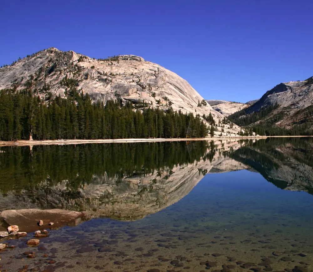
Tenaya Lake The large lake right on Tioga Road, between the valley and Tuolumne Meadows.
Add to your Yosemite National Park visit Open in OpenStreetMap ↗ Location source ↗
37.83144, -119.46202
All places Photo: Dcrjsr ↗ · CC BY 3.0 ↗
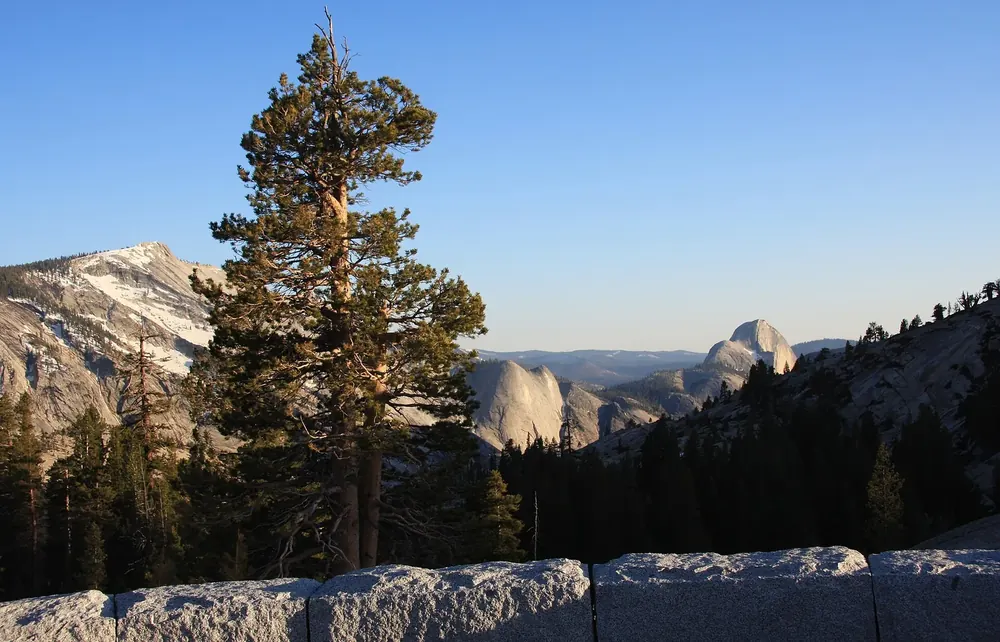
Olmsted Point The view from Tioga Road of Half Dome from behind: from here you see the back of the dome and the ice-polished granite slabs.
Add to your Yosemite National Park visit Open in OpenStreetMap ↗ Location source ↗
37.80928, -119.48444
All places Photo: King of Hearts ↗ · CC BY-SA 3.0 ↗
Tioga Pass At 3,031 metres (9,944 ft), the highest road pass in California and the park's east entrance. Closed in winter, often from November to late May.
Add to your Yosemite National Park visit Open in OpenStreetMap ↗ Location source ↗
37.91090, -119.25788
All places Photo: King of Hearts ↗ · CC BY-SA 4.0 ↗
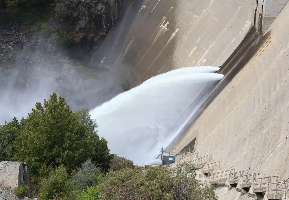
O'Shaughnessy Dam The dam of Hetch Hetchy Reservoir in the north-west. The road there is open only from sunrise to sunset; swimming and boating are banned because the lake supplies drinking water.
Add to your Yosemite National Park visit Open in OpenStreetMap ↗ Location source ↗
37.94755, -119.78823