National Parks Atlas
To the park
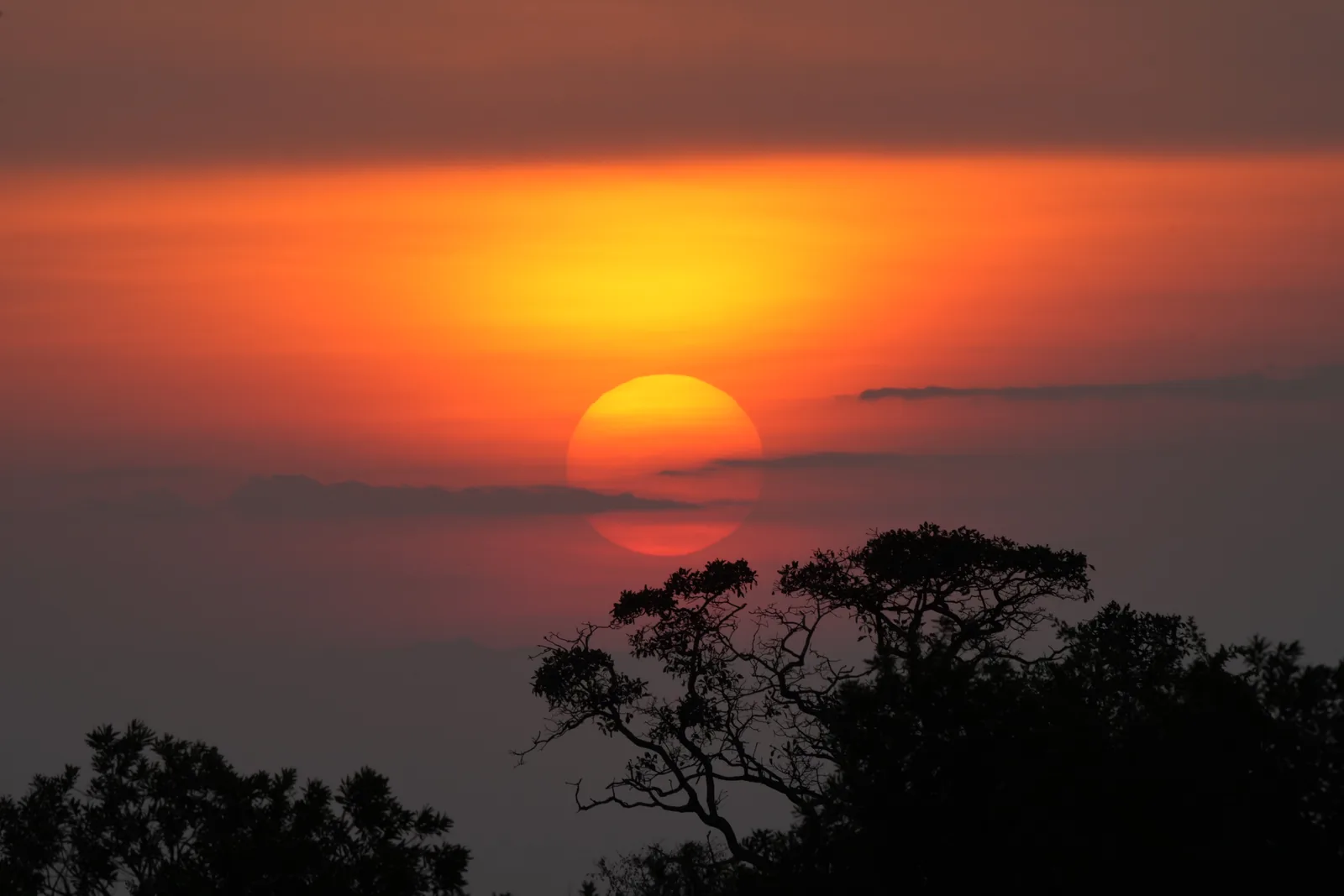
Sunrise over Serengeti National Park, the sun a red ball behind an acacia

Serengeti National Park: map

32 places with verified coordinates · 10 with photo

Bookable in the park · 5

Ad · partner links: we may earn a commission if you book. Offer details checked 27 Sep 2026; dates and prices with the provider.

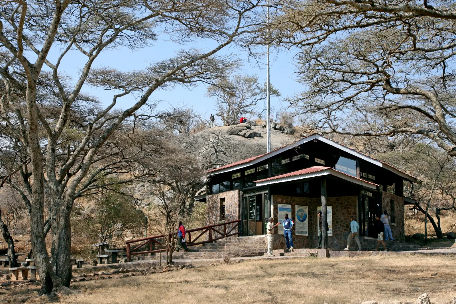
The gate building at Naabi Hill in Serengeti National Park under acacias, visitors at the ramp
Photo: Banja-Frans Mulder ↗ · CC BY 3.0 ↗

Arrival · Main gate from the south, border with the Ngorongoro Conservation Area

Naabi Hill

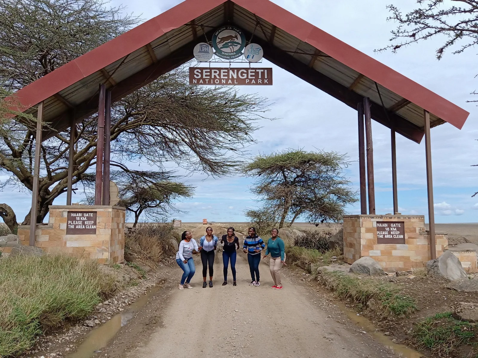
The gate between the conservation area and the national park is at Naabi Hill. If you come from Arusha or Ngorongoro, you pay the park entrance fee here; the drive through the conservation area costs its daily fee on top. A short path leads up the hill with a view over the plains.

The southern gate, and beyond it the plains where calves are born from December to March.

Gate
border with the Ngorongoro Conservation Area
Transit
the conservation area's daily fee, gates 6:00 to 18:00
Best time at Ndutu
late December to April
Kopjes
Gol, Simba, Moru

Open in OpenStreetMap ↗Location source ↗

-2.83307, 34.99791

Water · Granite outcrops in the short-grass plains

Gol Kopjes

The kopjes east of Naabi rise from the short-grass plains of the southeast, the calving grounds of the migration from January to March according to the park authority. Cheetahs use the rocks as lookouts.

Open in OpenStreetMap ↗Location source ↗

-2.76799, 35.09093

Mountains & rock · Rock group on the road to Seronera

Simba Kopjes

The “lion rocks” on the main road between Naabi and Seronera, a classic spot for lions resting on the warm granite.

Open in OpenStreetMap ↗Location source ↗

-2.67468, 34.91227

Nature · Kopjes southeast of Seronera

Maasai Kopjes

A group of granite outcrops just over nine kilometres (5.6 mi) southeast of Seronera, listed individually in OpenStreetMap as Maasai Kopje 1 to 14; the point marks the northernmost.

Open in OpenStreetMap ↗Location source ↗

-2.50318, 34.88177

Nature · Kopjes in the southwest, rhino viewing area

Moru Kopjes

Rock groups around 20 km (12 mi) southwest of Seronera. OpenStreetMap does not list the kopjes as a separate object; the point marks the Ole Serai camp at the Moru Kopjes. For the Moru area, the authority's tariff list includes a separate rhino viewing activity.

Open in OpenStreetMap ↗Location source ↗

-2.61890, 34.73240

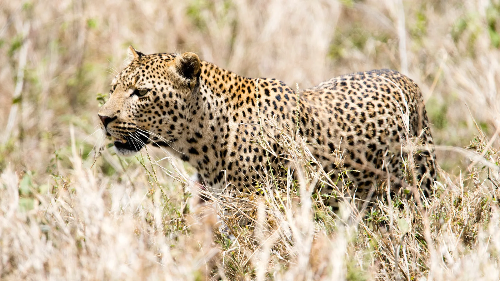
A leopard stalks through tall dry grass in the Seronera Valley in Serengeti National Park
Photo: Christoph Strässler ↗ · CC BY-SA 2.0 ↗

Arrival · Centre of the park, headquarters, airstrip, camps

Seronera

The heart of the park in the Seronera Valley: headquarters, visitor centre, fuel station, airstrip, lodges and the public campsites. The valley with its riverine forest is rich in wildlife all year and is known as leopard territory.

Park headquarters, airstrip, fuel station, campsites and a valley where leopards rest in the trees.

Location
centre of the park, around 50 km (31 mi) north of Naabi
Facilities
visitor centre, fuel station, airstrip according to OpenStreetMap
Campsites
Pimbi, Nyani, Tumbili, Dik Dik: US$30
Wildlife
all year, leopards in the riverine forest

Guided from here · Ad

Partner links: we may earn a commission if you book. Dates and prices with the provider.

Open in OpenStreetMap ↗Location source ↗

-2.44672, 34.81909

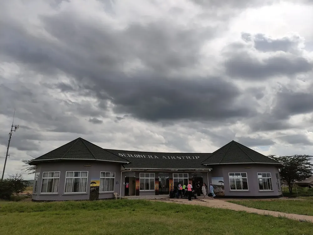
Seronera Airstrip in Serengeti National Park: terminal building with lettering under dark clouds, a lawn in front
Photo: ערן ↗ · CC BY-SA 4.0 ↗

Arrival · Airstrip in the centre

Seronera Airstrip

The airstrip in the centre of the park, listed in OpenStreetMap with the codes SEU and HTSN. Landing fees per aircraft are set out in the authority's tariff list.

Guided from here · Ad

Partner links: we may earn a commission if you book. Dates and prices with the provider.

Open in OpenStreetMap ↗Location source ↗

-2.45802, 34.82082

Where to stay · Public campsite near Seronera

Pimbi Public Campsite

One of the public campsites on the edge of Seronera, US$30 per person per night according to the tariff; Nyani, Tumbili and Dik Dik are next to it. Toilet block, no fence.

Open in OpenStreetMap ↗Location source ↗

-2.42144, 34.85146

Where to stay · Public campsite used by group safaris

Tumbili Public Campsite

The campsite that several camping safaris from Arusha name for their night in the Serengeti. Animals walk through the camp at night.

Open in OpenStreetMap ↗Location source ↗

-2.41903, 34.86076

Water · Hippo pool north of Seronera

Hippo Pool near Retima

A hippo pool at the lower end of the Seronera River, around 17 km (11 mi) north of Seronera; OpenStreetMap lists the Retima picnic site next to it.

Open in OpenStreetMap ↗Location source ↗

-2.29371, 34.79895

Nature · Hill southwest of Seronera

Makoma Hill

A viewpoint hill above the Seronera Valley, with lodges and camps at its foot.

Open in OpenStreetMap ↗Location source ↗

-2.49053, 34.76788

Where to stay · Tented lodge in the centre

Kubu Kubu Tented Lodge

One of the permanent tented lodges on concession land north of Seronera; overnight stays in lodges and permanent camps are subject to the concession fee in the tariff list.

Open in OpenStreetMap ↗Location source ↗

-2.32796, 34.76922

Arrival · Western gate towards Mugumu

Ikoma Gate

The northwestern gate to the town of Mugumu and the lodges outside the park; from here the road continues to Musoma on Lake Victoria.

Open in OpenStreetMap ↗Location source ↗

-2.18897, 34.72546

Surroundings · Village outside the park, northwest of Ikoma gate

Fort Ikoma

According to OpenStreetMap, Fort Ikoma lies outside the park in the Ikona Wildlife Management Area, around 15 km (9 mi) northwest of Ikoma gate.

Open in OpenStreetMap ↗Location source ↗

-2.08736, 34.63368

Nature · Western Corridor on the Grumeti

Kirawira

The Western Corridor stretches along the Grumeti almost to Lake Victoria. According to the park authority's calendar, the herds cross the Grumeti here in June and July. Kirawira airstrip.

Open in OpenStreetMap ↗Location source ↗

-2.18565, 34.16834

Arrival · Western gate, access from Mwanza

Ndabaka Gate

The gate at the western end of the Western Corridor, with a national park registration office next to it according to OpenStreetMap. The shore of Lake Victoria is a few kilometres away.

Guided from here · Ad

Partner links: we may earn a commission if you book. Dates and prices with the provider.

Open in OpenStreetMap ↗Location source ↗

-2.19248, 33.87057

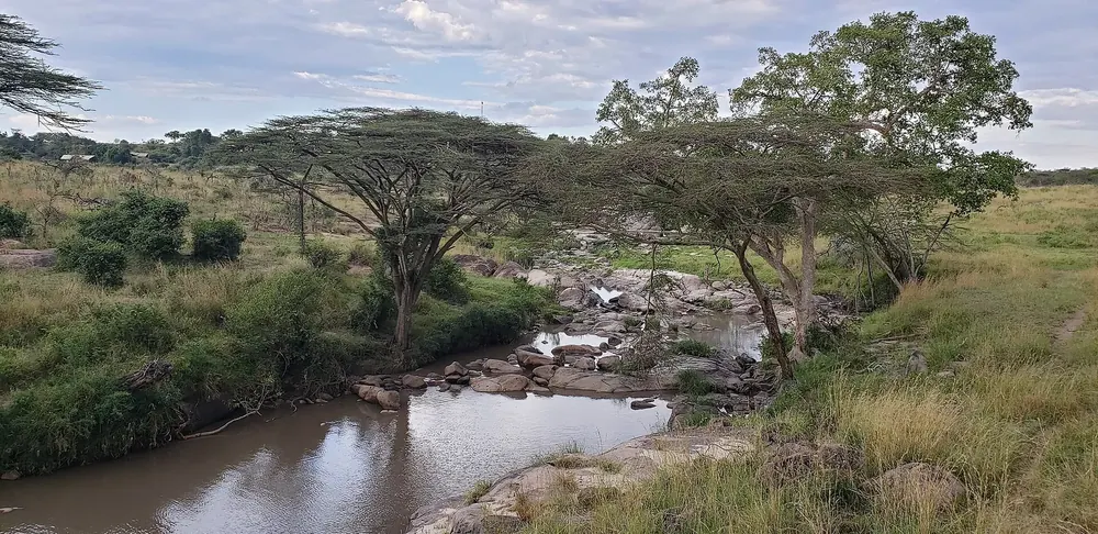
Grumeti River in Serengeti National Park: river with rocks and hippos, lined with umbrella acacias and bushland
Photo: Pi3.124 ↗ · CC BY-SA 4.0 ↗

Water · River of the Western Corridor

Grumeti River

The Grumeti flows from east to west into Lake Victoria. According to the park authority's calendar, the herds cross it in June and July. The map point is on the river in the Western Corridor near Kirawira.

Open in OpenStreetMap ↗Location source ↗

-2.17405, 34.20267

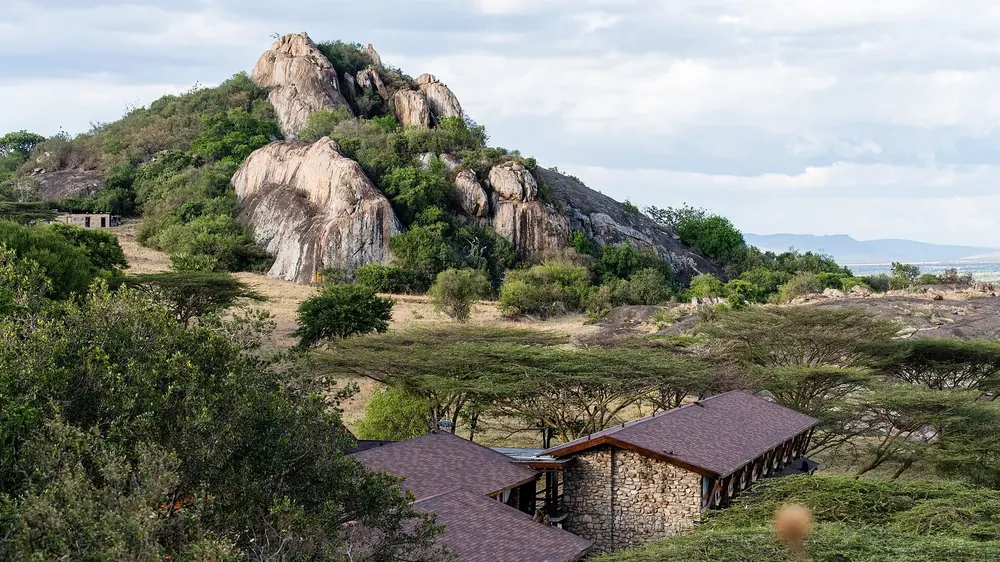
Lobo Wildlife Lodge: low stone buildings among acacias at the foot of large, rounded granite kopjes
Photo: Christoph Strässler ↗ · CC BY-SA 2.0 ↗

Where to stay · Lodge in the north, Lobo airstrip

Lobo Wildlife Lodge

The lodge on a kopje in the Lobo area, with its own airstrip. The north is hillier and more wooded than the plains; according to the park authority's calendar, the herds move back through the north in October and November.

Open in OpenStreetMap ↗Location source ↗

-2.00309, 35.16750

Water · Airstrip on the Mara River

Kogatende Airstrip

The airstrip on the Mara, the only river in the park that flows all year. The park authority's calendar places the Mara crossing in August and September.

Open in OpenStreetMap ↗Location source ↗

-1.56878, 34.88719

Arrival · Northeastern gate

Bologonja Gate

The northeastern gate towards Loliondo, according to OpenStreetMap.

Open in OpenStreetMap ↗Location source ↗

-1.66608, 35.21801

Arrival · Gate to Loliondo

Klein's Gate

The gate on the eastern boundary with the Loliondo area, the starting point for the camps outside the park in the northeast.

Open in OpenStreetMap ↗Location source ↗

-1.85626, 35.24529

Where to stay · Camp in the south of the park

Kusini Serengeti Camp

In the south of the park near the Kusini Kopjes, close to the calving grounds of the migration.

Open in OpenStreetMap ↗Location source ↗

-3.02269, 34.71610

Surroundings · Town outside Ikoma gate

Mugumu

The district town outside the western gate, with a market, fuel stations and a hospital; from here the road leads to Musoma.

Open in OpenStreetMap ↗Location source ↗

-1.83975, 34.67413

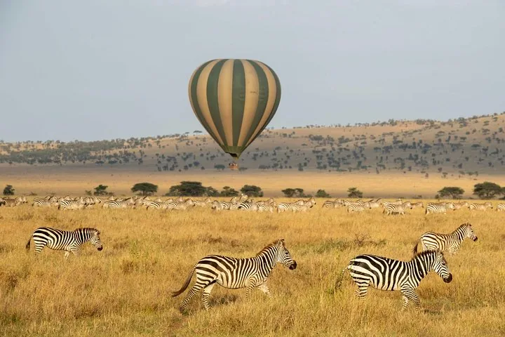
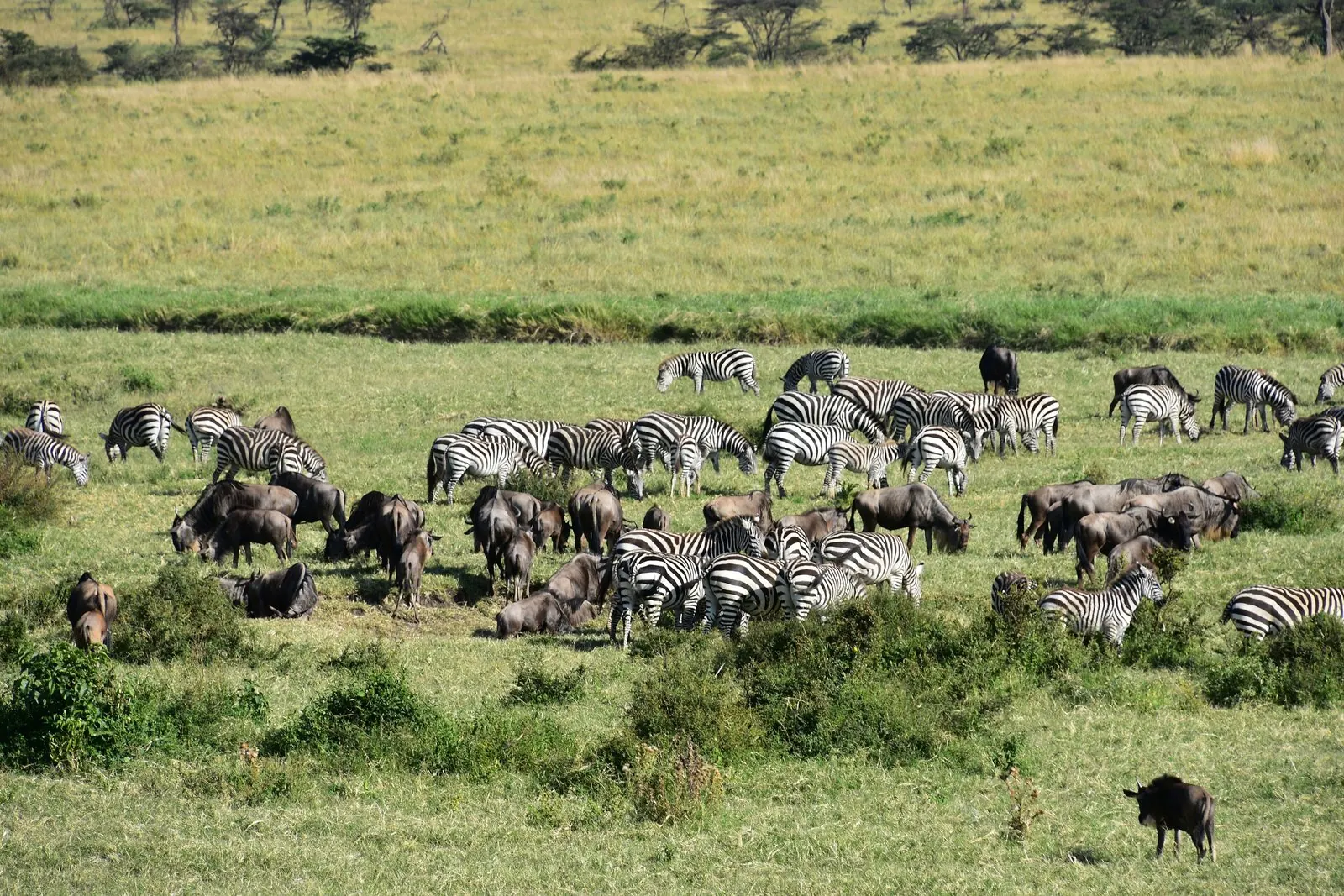
Zebras and wildebeest of the Great Migration grazing side by side in the northern Serengeti, an acacia slope behind.
Photo: Richard Mortel ↗ · CC BY 2.0 ↗

Nature · Wildlife migration in the Serengeti and Maasai Mara

Great Migration

The herds follow the rain, not the calendar.

Over a million wildebeest with hundreds of thousands of zebras and gazelles, in a circle, every year.

Distance
around 1,800 km (1,120 mi) according to the authority, 1,000 km (620 mi) according to UNESCO
January to March
calving in the south
August and September
crossing the Mara in the north
River
the Mara, the only year-round river according to UNESCO

Own page

Great Migration

The herds follow the rain, not the calendar.

Serengeti daily entry for visitors from outside East Africa
Age 16 and over, peak season 16 May to 14 March70 USD
Age 16 and over, low season 15 March to 15 May60 USD
Children aged 5 to 1520 USD

Park fees

Open in OpenStreetMap ↗Location source ↗

-1.56605, 34.89843

Nature · Calving grounds near Ndutu

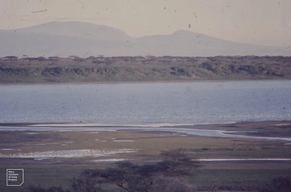
Lake Masek

Lake on the edge of the Ndutu plains in the Ngorongoro Conservation Area. According to the NCAA, the best time for the migration there is late December to April.

Own page

Great Migration

The herds follow the rain, not the calendar.

Park fees

Open in OpenStreetMap ↗Location source ↗

-3.02688, 35.03773

Nature · Arrival in the Maasai Mara

Sand River

According to the Mara Conservancy, the first herds appear here in the Mara before heading for the Mara River.

Own page

Great Migration

The herds follow the rain, not the calendar.

Park fees

Open in OpenStreetMap ↗Location source ↗

-1.69165, 35.43111

Nature · Hill east of the Mara River

Lookout Hill

According to the Mara Conservancy, the herds pass Lookout Hill on their way down to the Mara River.

Own page

Great Migration

The herds follow the rain, not the calendar.

Park fees

Open in OpenStreetMap ↗Location source ↗

-1.51550, 35.05019

Nature · Crossings at the Mara Triangle

Mara River

Near Purungat Bridge, the entrance to the Mara Triangle. Crossings are frequent but hard to predict.

Own page

Great Migration

The herds follow the rain, not the calendar.

Park fees

Open in OpenStreetMap ↗Location source ↗

-1.54571, 35.01806

Locations verified from the linked original sources and OpenStreetMap. The map shows no trails or park boundaries; markers do not imply that access is permitted.

Map: © OpenStreetMap contributors, OpenMapTiles, OpenFreeMap. Elevation: Terrain Tiles (Mapzen, AWS Open Data); 3DEP, GMTED2010 and SRTM courtesy of the U.S. Geological Survey; EU-DEM (Copernicus, European Union); ETOPO1 (NOAA); ArcticDEM (NSF, DigitalGlobe); Geoscience Australia; Open Data Austria (DGM); Open Government Licence – Canada; INEGI; Land Information New Zealand; Kartverket; Environment Agency (UK).

Park photo: Photo: Giles Laurent ↗ · CC BY-SA 4.0 ↗

Loading map …