


Arrival · Entrance
Lozovac
Open in OpenStreetMap ↗Location source ↗
43.79645, 15.96802

Guided tour · GetYourGuide
Krka National Park: two hours with a guide around Skradinski buk ↗Start on the map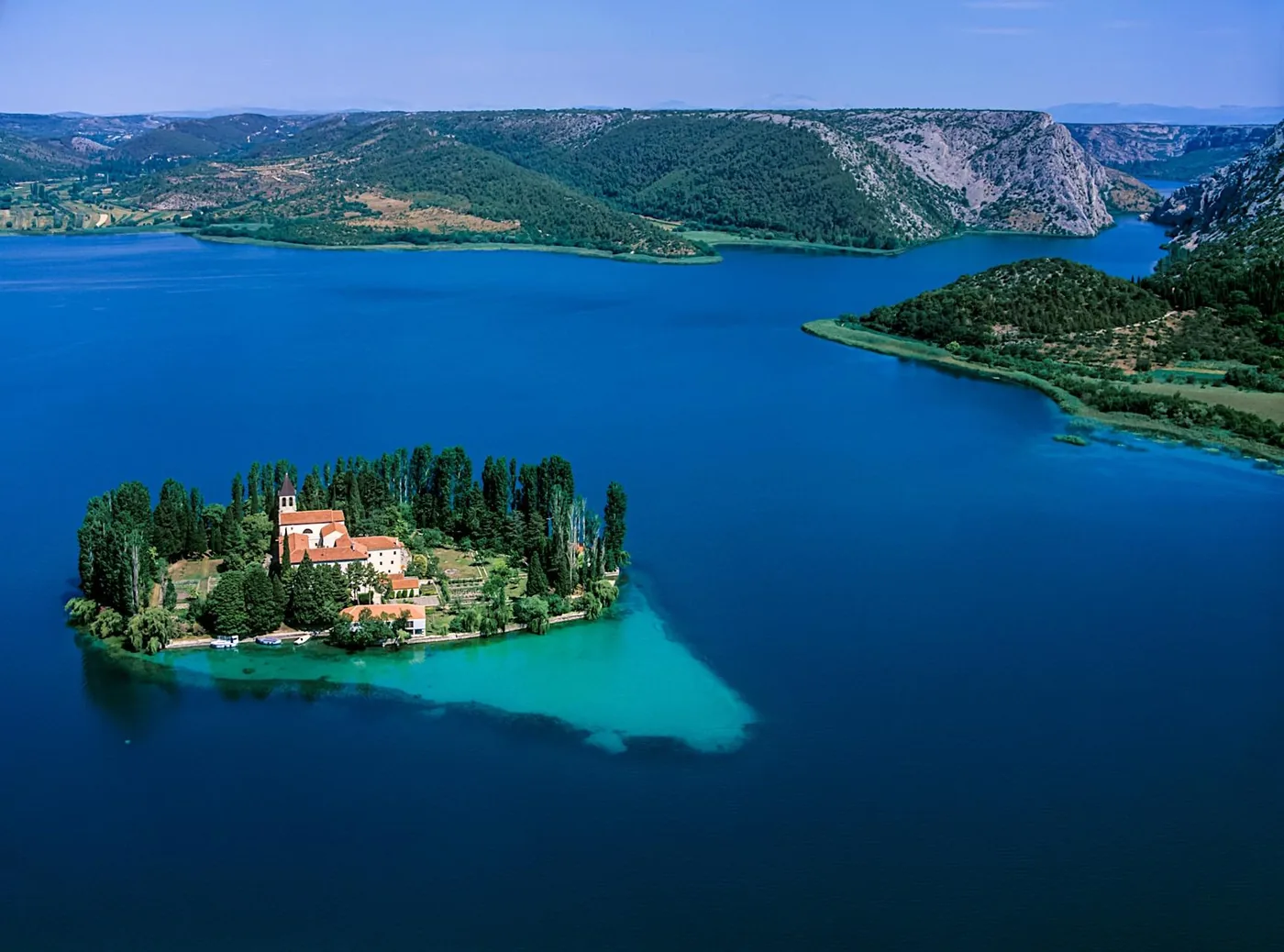
Scenic flight · GetYourGuide
From Sinj: private scenic flight over the Krka waterfalls and Visovac ↗Start on the mapAd · partner links: we may earn a commission if you book. Offer details checked 27 Sep 2026; dates and prices with the provider.
Arrival · Entrance
Open in OpenStreetMap ↗Location source ↗
43.79645, 15.96802
Where to stay · Campsite · nearby
Where to stay: camping in Skradin
Nearby · Campsite in Skradin with electricity, water and sanitary facilities. According to the operator about 500 m from the boat pier; no accommodation in the national park.
Open in OpenStreetMap ↗Location source ↗
43.82250, 15.92056
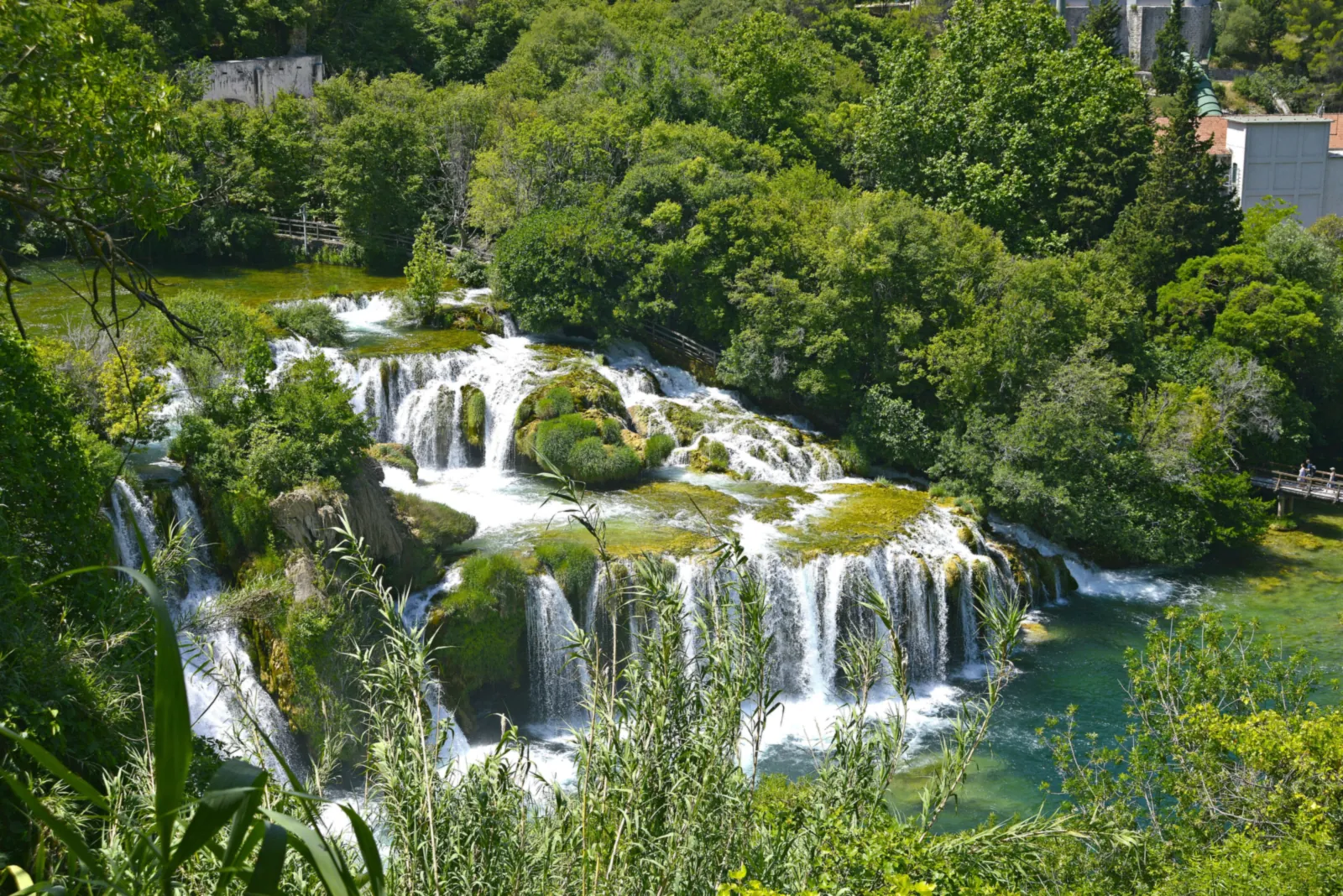
Water · Waterfall
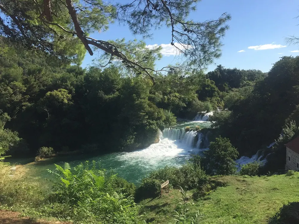
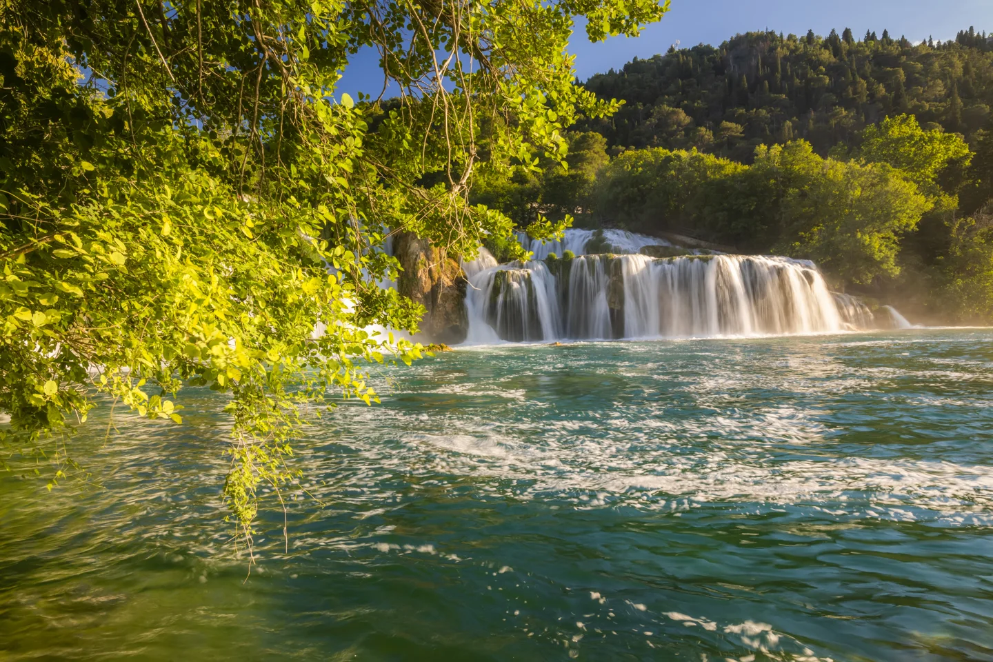
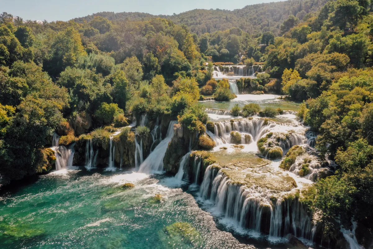
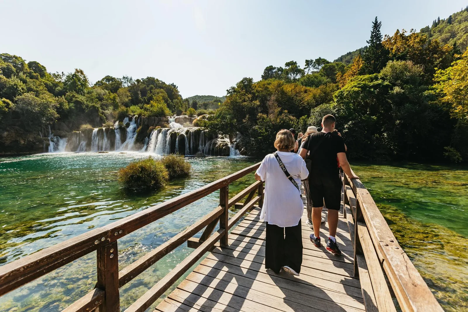
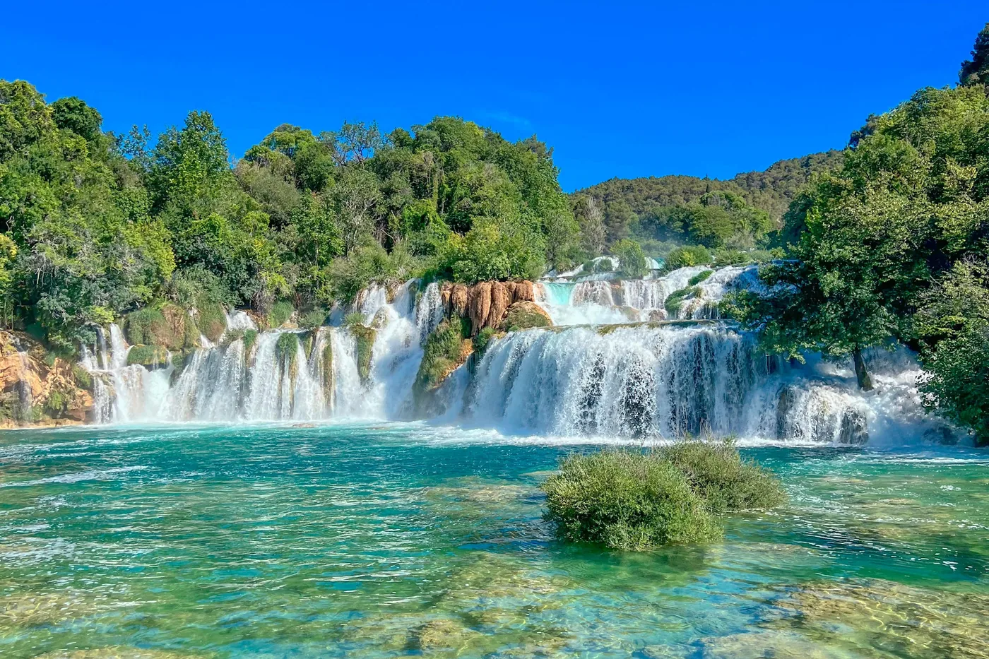
The seventh, last and longest tufa barrier of the Krka and, according to the park authority, also the longest in Europe. A 1900 m (1.2 mi) educational loop trail with a fixed direction of travel leads around the falls; swimming is not allowed here.
The Krka's longest barrier and its last waterfall: here the Krka and Čikola fall together over seventeen tufa steps.
Nature: the river, its waterfalls and wildlife
At Skradinski buk, mosses such as Cinclidotus aquaticus and Palustriella commutata form curtains and beards on the vertical steps; on open surfaces Eucladium verticillatum dominates, and the now rare Didymodon tophaceus grows in shallow pools. At the top lie small lakes and islands, at the bottom high barriers where new ridges, caves and overhangs are constantly forming.
Guided from here · Ad
Partner links: we may earn a commission if you book. Dates and prices with the provider.
Open in OpenStreetMap ↗Location source ↗
43.80515, 15.96400
History · Historic mills
First mentioned in 1251 in a charter of King Béla IV; in the 14th and 15th centuries the towns of the eastern Adriatic, from Dubrovnik to Istria, had their grain ground here. The present stone and tufa buildings probably date from the late 17th and early 18th centuries.
Open in OpenStreetMap ↗Location source ↗
43.80274, 15.96495
History · Historic power plant
On 28 August 1895 Croatia's first complete alternating-current system went into operation here: the power plant, an 11 km (6.8 mi) line on wooden poles and the street lighting of Šibenik. From 2006 the remains were excavated and then conserved.
Nature: the river, its waterfalls and wildlife
On 28 August 1895 Croatia's first complete alternating-current system went into operation at Skradinski buk: the power plant, 11 km (6.8 mi) of 3-kilovolt line on wooden poles and the street lighting of Šibenik. Later mills, a pasta factory, theatres, cafés, hotels and the first households were connected; operation ceased in 1913.
Park authority: the Krka hydroelectric power plant of 1895 ↗
Open in OpenStreetMap ↗Location source ↗
43.80459, 15.96356
Viewpoint · Viewpoint
The imperial viewpoint on the loop trail: this is where Emperor Franz Joseph I and Empress Elisabeth stopped to look at Skradinski buk.
Open in OpenStreetMap ↗Location source ↗
43.80371, 15.96422
Arrival · Boat dock
Dock for the middle course of the Krka at Skradinski buk. Among other trips, the boat excursion on the Čikola to the source of Lake Torak, past Ključica fortress, starts here.
Open in OpenStreetMap ↗Location source ↗
43.80230, 15.97201
Arrival · Boat dock
From April to October the park's boats take visitors from here to Skradinski buk. You buy your ticket beforehand at the park's office in Skradin; with an online ticket you board directly.
Open in OpenStreetMap ↗Location source ↗
43.81630, 15.92269
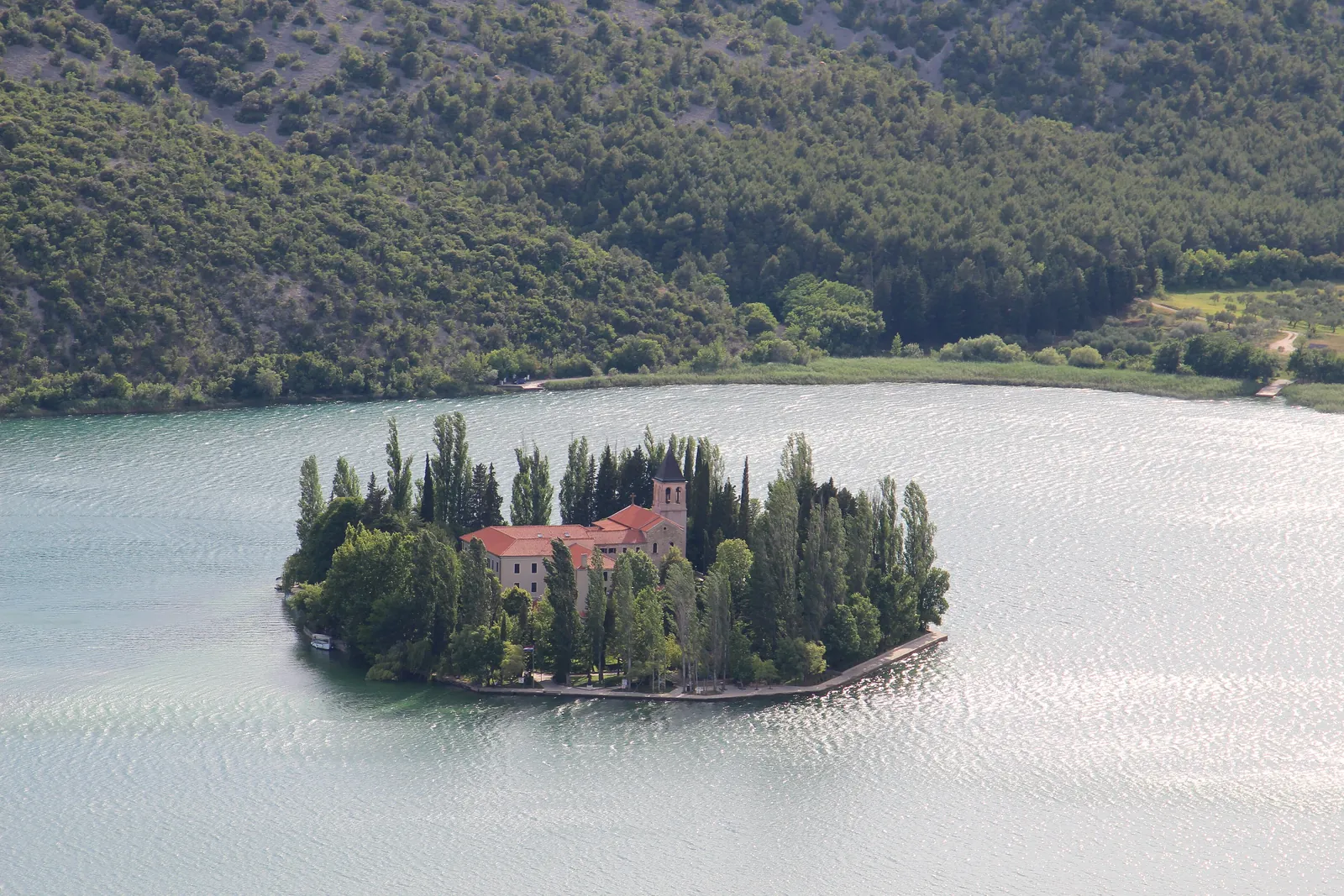
Water · Island · monastery
Augustinian hermits lived here until the middle of the 15th century, Franciscans since 1445; in 1576 they built the monastery and the Church of Our Lady of Mercy. The monastery has an archaeological collection and a library with incunabula.
A small island in Lake Visovac, a place of prayer for centuries: to the park authority, the monastery, church, island and lake form a natural, cultural and spiritual whole.
Visiting Krka: entrance, ticket and time slot
You reach the island by excursion boat from Skradinski buk or Roški slap, or by the short crossing from Stinice and Remetić. Dogs are not allowed on the island, and the park authority asks for appropriate clothing.
Nature: the river, its waterfalls and wildlife
The focus of Marian devotion on Visovac is a miraculous image that, according to tradition, the Franciscans brought from Bosnia when fleeing the Ottomans. The oldest evidence of this devotion is a poem by Father Pavle Posilović from 1639.
Guided from here · Ad
Partner links: we may earn a commission if you book. Dates and prices with the provider.
Open in OpenStreetMap ↗Location source ↗
43.86112, 15.97305
Arrival · Boat dock
From Stinice the boat crosses to Visovac in five minutes; by car you arrive from the direction of Miljevci. Parking and toilets are free, and swimming is allowed here.
Open in OpenStreetMap ↗Location source ↗
43.86245, 15.97887
Arrival · Boat dock
The second crossing point to Visovac, reached from the direction of Dubravice – Rupe; the boat takes five minutes. Parking is free, and you may swim at nearby Pisak.
Open in OpenStreetMap ↗Location source ↗
43.85992, 15.96839
Viewpoint · Viewpoint
The only official viewpoint over the island. Since 2002 it has held the monument to Petar Svačić, the last Croatian king of native descent; a winding road leads down from here to Stinice.
Open in OpenStreetMap ↗Location source ↗
43.86400, 15.98772
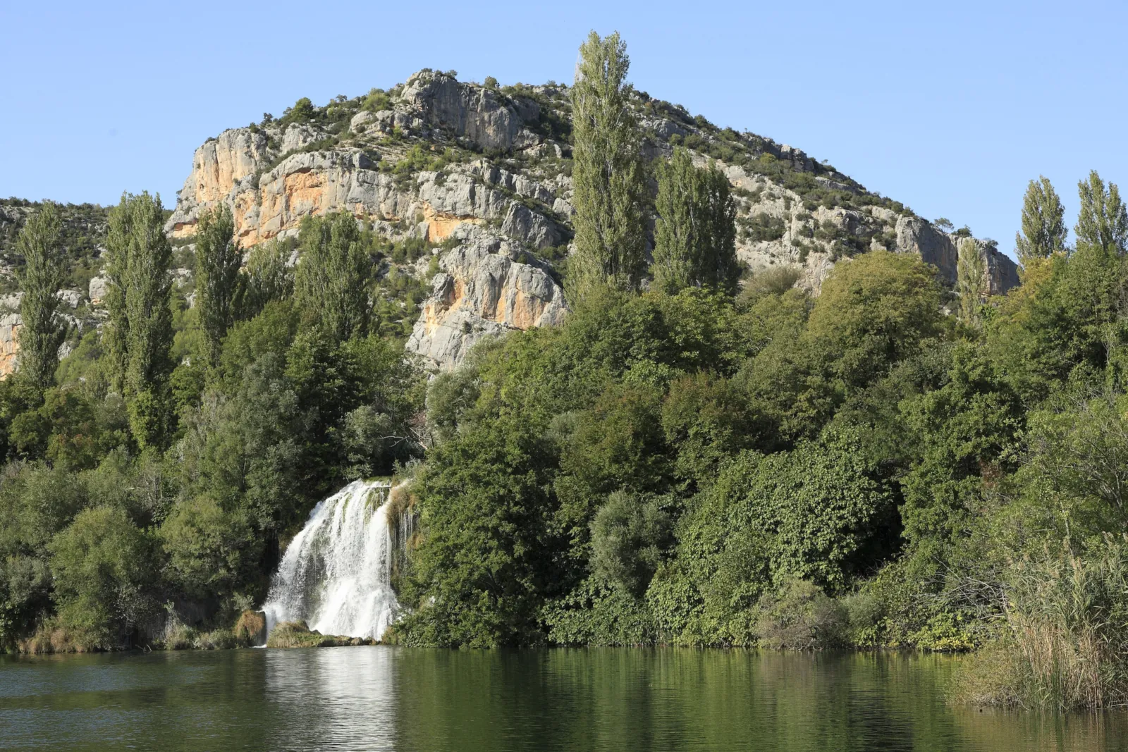
Water · Waterfall
The sixth and penultimate waterfall of the Krka, 650 m long. It begins with the Ogrlice tufa cascades; at the end of the barrier the highest fall widens like a funnel and roars down into Lake Visovac.
The sixth waterfall begins with a chain of small cascades, the Ogrlice, and ends in a fall that pours like a funnel into Lake Visovac.
Open in OpenStreetMap ↗Location source ↗
43.90375, 15.97507
Water · Waterfalls
A long, spread-out series of tufa cascades above Roški slap, which locals call Ogrlice (necklaces). A completely flat loop trail crosses a bridge right through the cascades to the mills.
Hikes, trails & boat trips
At Roški slap a 1360 m educational loop trail crosses the Ogrlice cascades. Old crafts are demonstrated in the restored mills on the left bank. For summer visits, the park authority asks you to park in Laškovica or Bogatići Miljevački.
Open in OpenStreetMap ↗Location source ↗
43.90787, 15.97769
History · Historic mills
To the park authority, one of the most interesting and valuable ethnographic monuments in Dalmatia and Croatia. The Franciscans of Visovac also owned mills here; the names recall old and new owners, such as the Kulušić/Marasović, Jović or Šostera mills.
Open in OpenStreetMap ↗Location source ↗
43.90227, 15.97613
Arrival · Boat dock
The excursion boat to Visovac leaves from the lower dock. Trips to the Nečven and Trošenj fortresses start from the upper dock, upstream.
Open in OpenStreetMap ↗Location source ↗
43.90235, 15.97535
Mountains & rock · Cave
The cave high up in the Roški slap canyon: people lived here continuously from 6000 to 1500 BC. The archaeological collection is displayed in the cave itself; 517 wooden steps lead up to it.
Hikes, trails & boat trips
8.5 km (5.3 mi) long, with 176 m (577 ft) of height difference from Lake Visovac to the car park, open all year; boards explain plants, animals, geology and history. 517 steps lead up to the cave, and another 99 to the car park in Bogatići Miljevački. Not a loop: plan your return; from June to September a bus runs Laškovica – Roški slap – Bogatići Miljevački – Stinice.
Park authority: Stinice – Roški slap – Oziđana pećina educational trail ↗
Open in OpenStreetMap ↗Location source ↗
43.90782, 15.98076
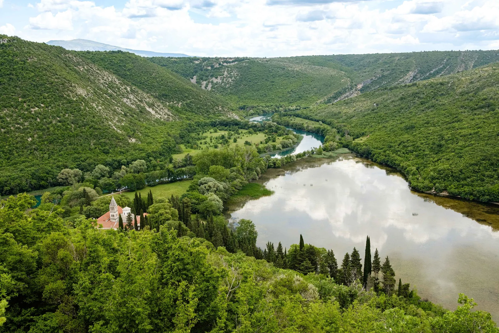
History · Monastery
Spiritual centre of the Orthodox faithful at Carigradska draga, a gentle widening of the Krka. Beneath the church, built in the Byzantine style, lie catacombs; the treasury holds valuable icons.
In the rocky upper course, surrounded by five waterfalls, lies one of the most important spiritual centres of the Orthodox Eparchy of Dalmatia.
Nature: the river, its waterfalls and wildlife
Krka Monastery stands on the foundations of an older hermitage and is first mentioned in 1402. Together with the Burnum camp, the park authority counts it among the two special treasures of the upper course; a hiking trail leads around the monastery.
Open in OpenStreetMap ↗Location source ↗
43.96213, 15.99007
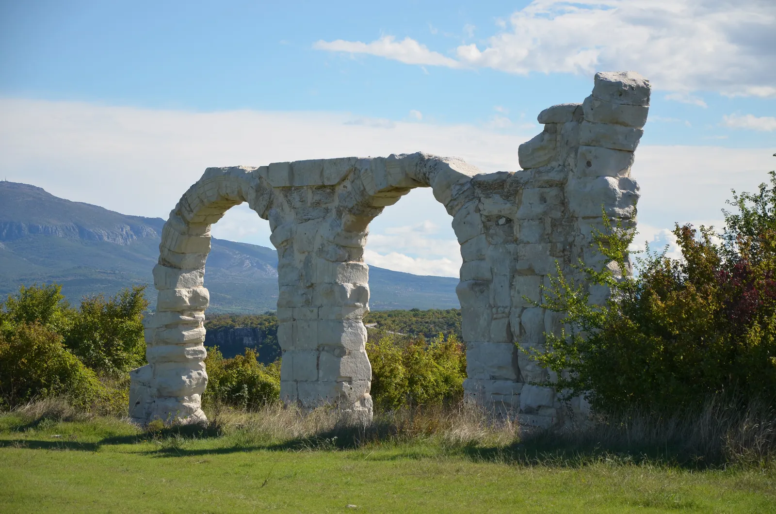
History · Roman camp · ruin
The legionary camp was built around the turn of the eras where it controlled the crossing over the Krka. You can see the arches of the headquarters building, the only surviving military amphitheatre in Croatia and walls of the parade ground.
A Roman legionary camp whose arches still stand: from here Rome watched over the crossings of the Krka between Bobodol and Manojlovac.
Nature: the river, its waterfalls and wildlife
There was probably already a military post here against the Delmatae in the first century BC (100–1 BC). Four legions were stationed at Burnum in turn; the XI Legion built the permanent camp, and under Emperor Claudius came its renewal and the amphitheatre. Burnum later became a self-governing town, last mentioned in 536/537.
Open in OpenStreetMap ↗Location source ↗
44.01803, 16.02574
History · Amphitheatre · ruin
The only surviving military amphitheatre in Croatia, oval, with four vaulted entrances and room for an estimated 6000 to 10,000 spectators. An inscription of Emperor Vespasian dates its completion to AD 76/77.
Open in OpenStreetMap ↗Location source ↗
44.01914, 16.01817
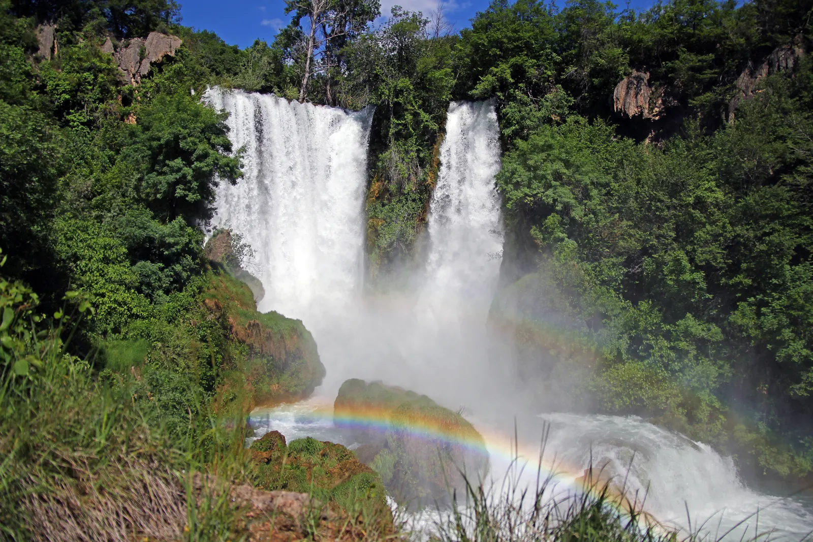
Water · Waterfall
The highest waterfall on the Krka: a series of tufa barriers 59.6 m (196 ft) high in total, the last one dropping 32.2 m (106 ft). In the warm season little water flows, because it is diverted into the reservoir of the nearby Miljacka power plant.
The highest waterfall on the Krka, yet in the warm season little water flows, because the nearby Miljacka power plant diverts it into its reservoir.
Open in OpenStreetMap ↗Location source ↗
44.01481, 16.02509
Viewpoint · Viewpoint
On the rock known as the Emperor's Head, a plaque recalls the visit of Emperor Franz Joseph I and Empress Elisabeth. The second level, reached by steps, offers the best view of Manojlovac slap.
Open in OpenStreetMap ↗Location source ↗
44.01594, 16.02192
Water · Waterfall
The first of the seven waterfalls, 16 km (9.9 mi) from the source: 22.4 m (73 ft) high, 300 m long and about 100 m wide, in full flow all year. Behind a mill lies Sedrena špilja, a cave 124 m long.
Open in OpenStreetMap ↗Location source ↗
44.01314, 16.06893
Water · Waterfall
The second step of the Krka, 19 km (11.8 mi) from the source: 15.5 m (51 ft) high, 300 m long and 180 m wide. According to the park authority, the biggest intervention was the dam built at the start of the 20th century for the Miljacka power plant.
Open in OpenStreetMap ↗Location source ↗
44.01230, 16.03452
Viewpoint · Viewpoint
Rest area with a viewpoint at the top of the winding road on the Bukovica side. The waterfall is dry in the warm season; above it lies Lake Brljan, created by a dam, 1300 m long and 400 m wide.
Open in OpenStreetMap ↗Location source ↗
44.01684, 16.02950
Water · Waterfall
The most modest waterfall on the Krka, 8.4 m (28 ft) high and 40 m wide, hidden in a canyon 200 m (656 ft) deep and visible only from a distance. Locals called it the Altar.
Open in OpenStreetMap ↗Location source ↗
44.00727, 16.02833
Water · Waterfall
The fifth waterfall, 23.8 m (78 ft) high and 50 to 60 m wide. Through the Miljacka spring, water from the Zrmanja flows into the Krka here, a direct link between two rivers that the park authority describes as unique.
Open in OpenStreetMap ↗Location source ↗
44.00357, 16.01987
History · Fortress ruin
The largest and today best-preserved medieval fortress in the Krka river basin, on a steep cliff on the right bank of the Čikola. It was part of the fortress system of the Croatian noble family Nelipić.
Open in OpenStreetMap ↗Location source ↗
43.83112, 16.03048
History · Fortress ruin
Built at the end of the 13th or start of the 14th century above the left bank, where the route from south-eastern Dalmatia crossed the Krka; merchants paid a bridge toll here. The fortress has been systematically excavated since 2011.
Open in OpenStreetMap ↗Location source ↗
43.97710, 16.03071
History · Fortress ruin
Above a deep gorge on the right bank, opposite Nečven, built by the Šubić family in the 14th century to control the bridge over the Krka. Reached via the village of Čučevo on a footpath from the direction of Kistanje.
Open in OpenStreetMap ↗Location source ↗
43.97986, 16.02558
Arrival · Visitor centre
Visitor and education centre in a former military complex, with the archaeological collection on Burnum, a natural history collection and loop trails with information boards. You can visit the campus all year with a park guide or on your own using the site plan.
Open in OpenStreetMap ↗Location source ↗
44.00141, 16.02300
Arrival · Visitor centre
Nature interpretation centre in Kistanje at the western entrance to the park: interactive exhibitions and fourteen audio points tell of the water of the Krka, old mills and Roman camps. Burnum and Manojlovac slap are nearby.
Open in OpenStreetMap ↗Location source ↗
43.97999, 15.96108
Loading map …