Zion National Park, Kolob Terrace: private half-day sightseeing tour ↗Pick-up at your accommodation in Hurricane, La Verkin, Toquerville, Virgin, Rockville or Springdale, by arrangement between 10:00 and 15:00; the provider recommends the afternoon. Return to Springdale. If you stay in St. George, drive yourself to one of these towns.
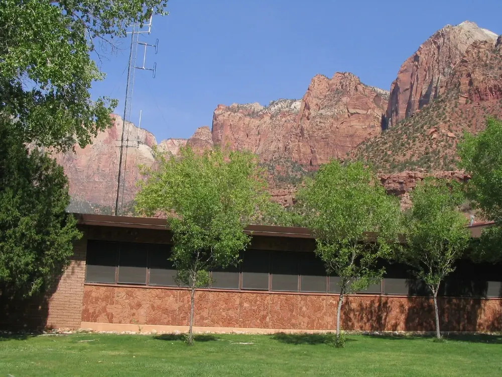
The first stop at the South Entrance and shuttle stop 1. Every ride into the canyon starts and ends here; the information desk is open daily from 8:00 to 17:00.
Stop 9 and the end of the road. From here the Riverside Walk leads to the start of the Narrows.
Nature and history
The river keeps cutting
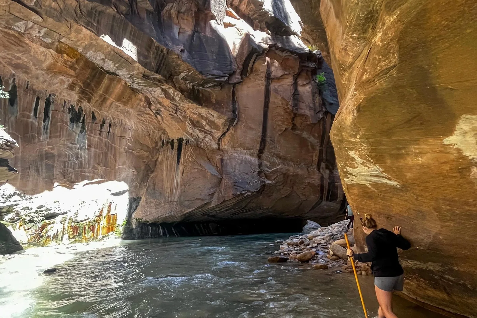
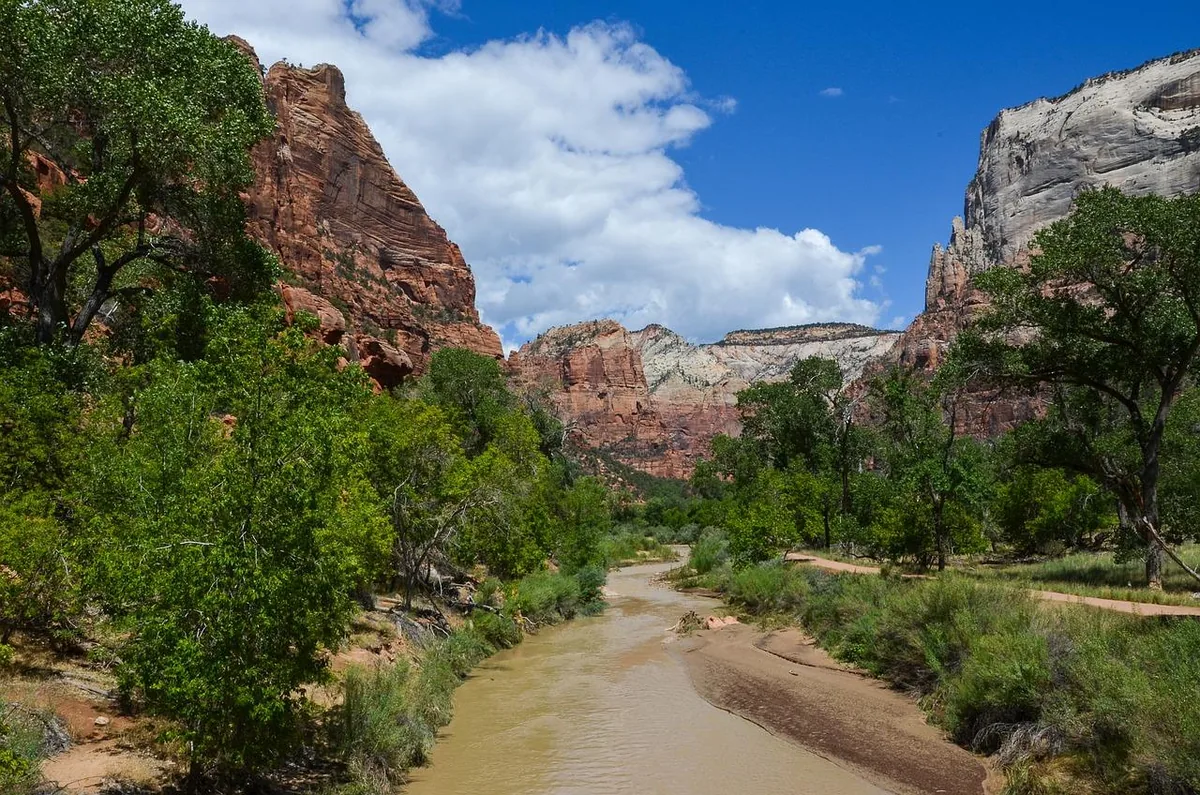
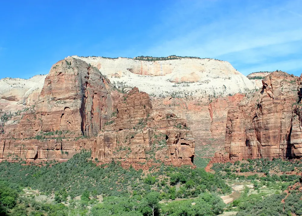
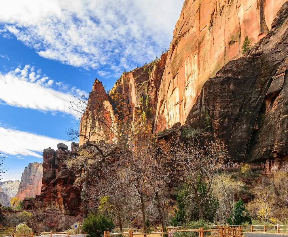
Since the uplift, the North Fork of the Virgin River has removed several thousand feet of rock, and it is still at work. Above the Temple of Sinawava it cuts into Navajo Sandstone and forms a narrow canyon. At the Temple it reaches the softer Kayenta Formation: the water washes out the shale, the sandstone above collapses and the canyon widens. Flash floods can increase the flow more than a hundredfold.
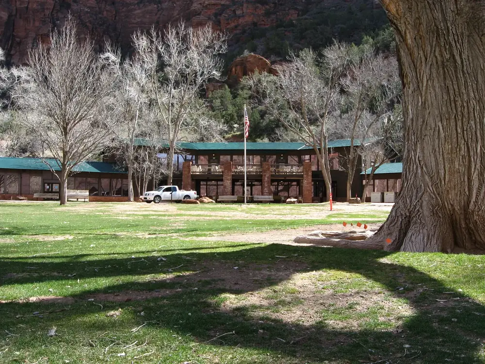
Opposite Zion Lodge, a rough paved trail leads through pinyon-juniper woodland to the lower pool and to waterfalls that only flow at times: about one kilometre (0.6 mi) each way. Swimming is not allowed.
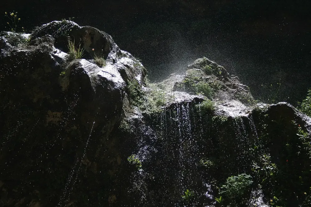
The upper pool, with a sandy shore at the foot of high walls; in some seasons waterfalls pour over them. You reach it on the Lower or Middle Emerald Pools Trail or on the Kayenta Trail from the Grotto.
Hikes & routes: the two hikes people come to Zion for
Emerald Pools: from the canyon floor to the upper pool
The trails start opposite Zion Lodge at stop 5: on the right the easier Lower Emerald Pool Trail, on the left the moderate Middle Emerald Pools Trail. Both continue to the Upper Emerald Pool, over stone steps and a sandy path through pinyon-juniper woodland to the foot of high walls, where waterfalls pour down in some seasons. From the Grotto you get there on the Kayenta Trail, 3.2 km (2 mi) to the Emerald Pools trails. You may not go into the water: the pool is fragile and an important water source for wildlife.
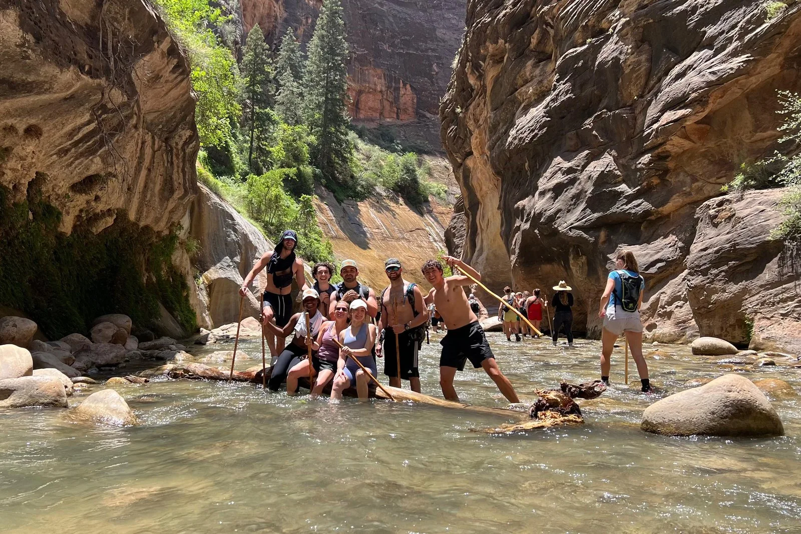
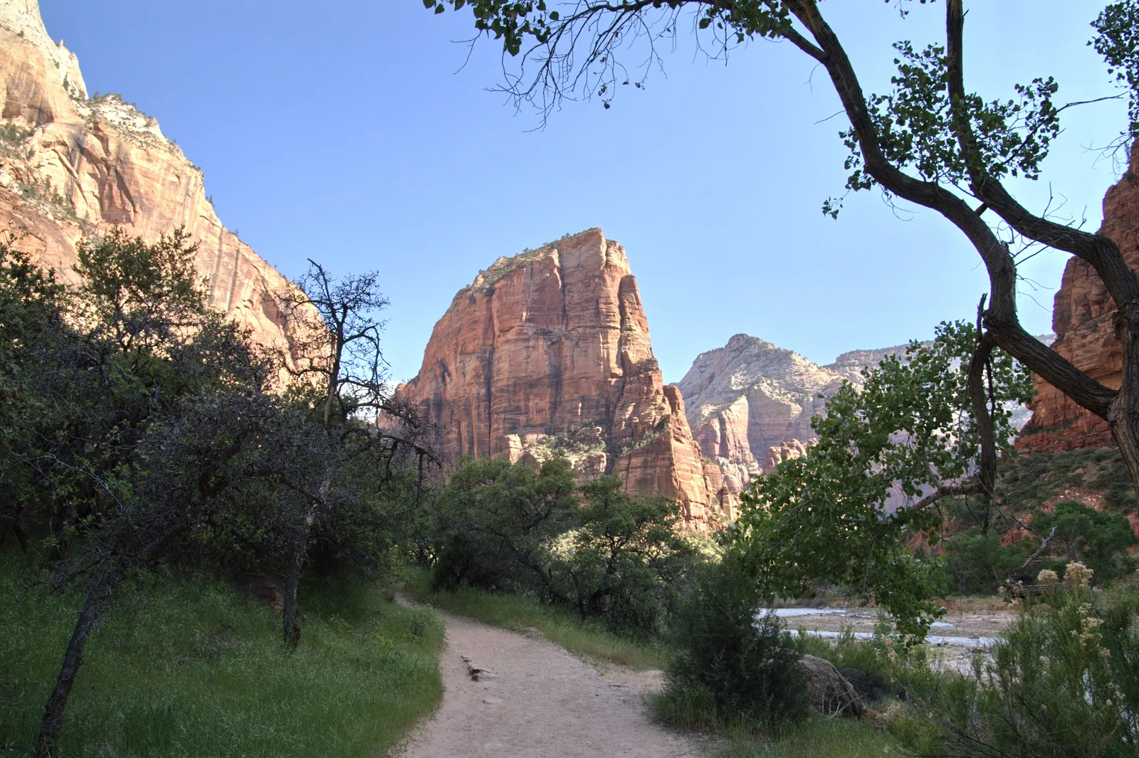
The paved trail from the Temple of Sinawava along the Virgin River, 1.6 km (1 mi) each way, as the walls close in. Where the paving ends, the Narrows begin: if you want to stay dry, turn back here. In winter, sections can be closed because of ice.
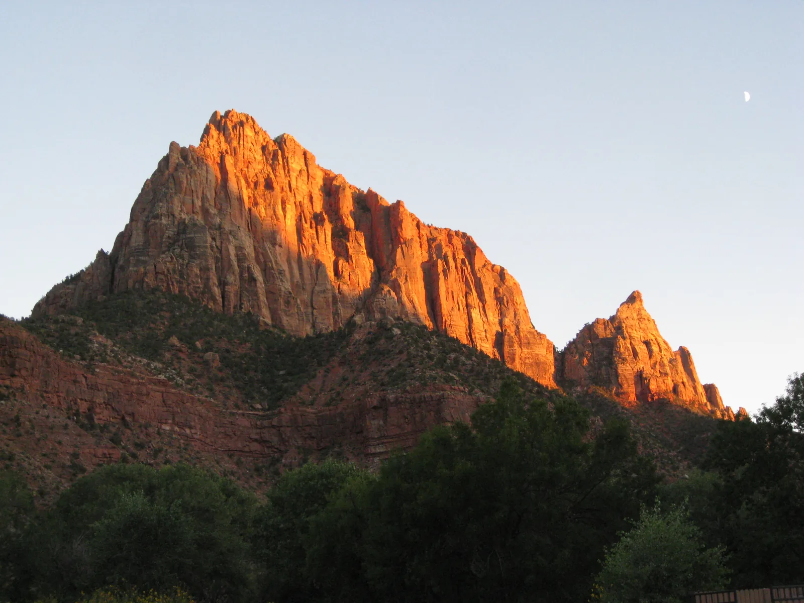
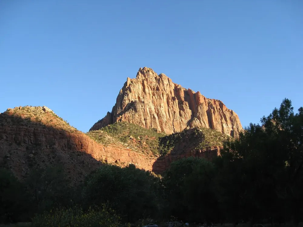
A paved trail along the Virgin River between the visitor centre and Canyon Junction, with some of the best views of the Watchman. Open to wheelchairs and bicycles, and the only trail in the park where dogs on a leash are allowed. In the Paiute language, Pa'rus means "bubbling water".
Rules & safety: what the park asks of you
Dogs only on the Pa'rus Trail
The Pa'rus Trail is the only trail in the park where pets are allowed, on a leash no longer than six feet (about 1.80 m). They are banned on all other trails, in the wilderness, on the shuttle buses and in public buildings; along roads and in car parks, at the campgrounds and on the Zion Lodge grounds they may come along. Leaving an animal in a hot car is prohibited.
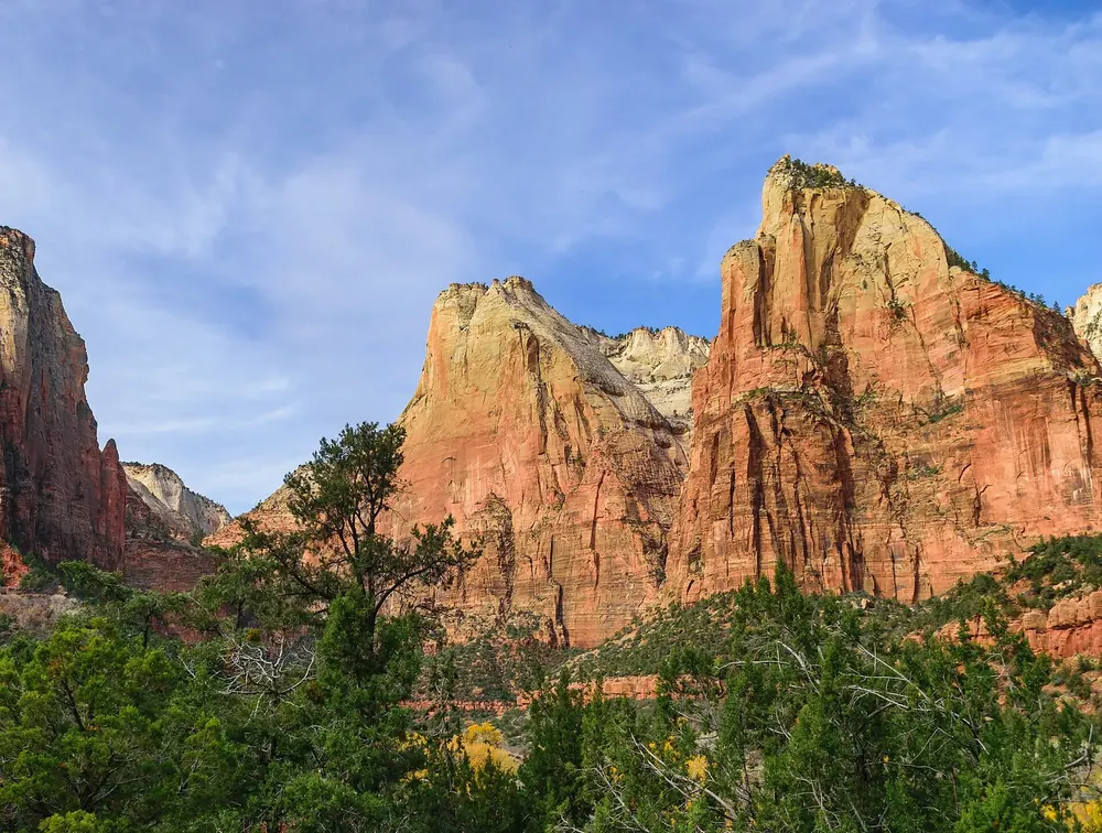
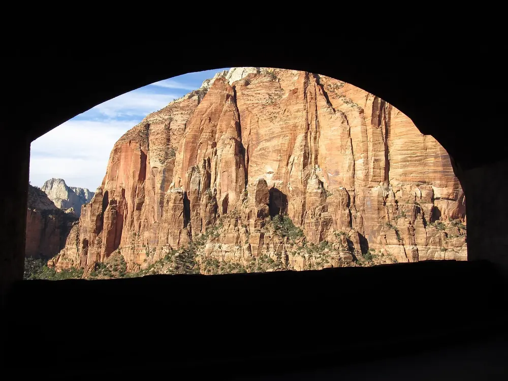
The fenced rock edge at the end of the Canyon Overlook Trail east of the tunnel, looking into Zion Canyon and at the Towers of the Virgin. 1.6 km (1 mi) there and back; the car park at the trailhead is very small.
Hikes & routes: the two hikes people come to Zion for
Canyon Overlook: short trail, wide view
East of the Zion–Mount Carmel Tunnel starts the Canyon Overlook Trail, moderate and 1.6 km (1 mi) there and back. It climbs over sandstone steps with railings above a dark, narrow gorge and ends at a fenced rock edge above Zion Canyon with a view of the Towers of the Virgin. Look out for bighorn sheep on the way. The car park is very small; the park advises you to expect several attempts.
The viewpoint high above Zion Canyon can no longer be reached from the canyon: the East Rim Trail is partly closed after a major rockfall. The only way up now is on foot from the east.
The second campground at the South Entrance, within walking distance of the visitor centre, the shuttle and Springdale. Open again since 29 May 2026, by reservation only, bookable up to 14 days ahead; closed over the winter.
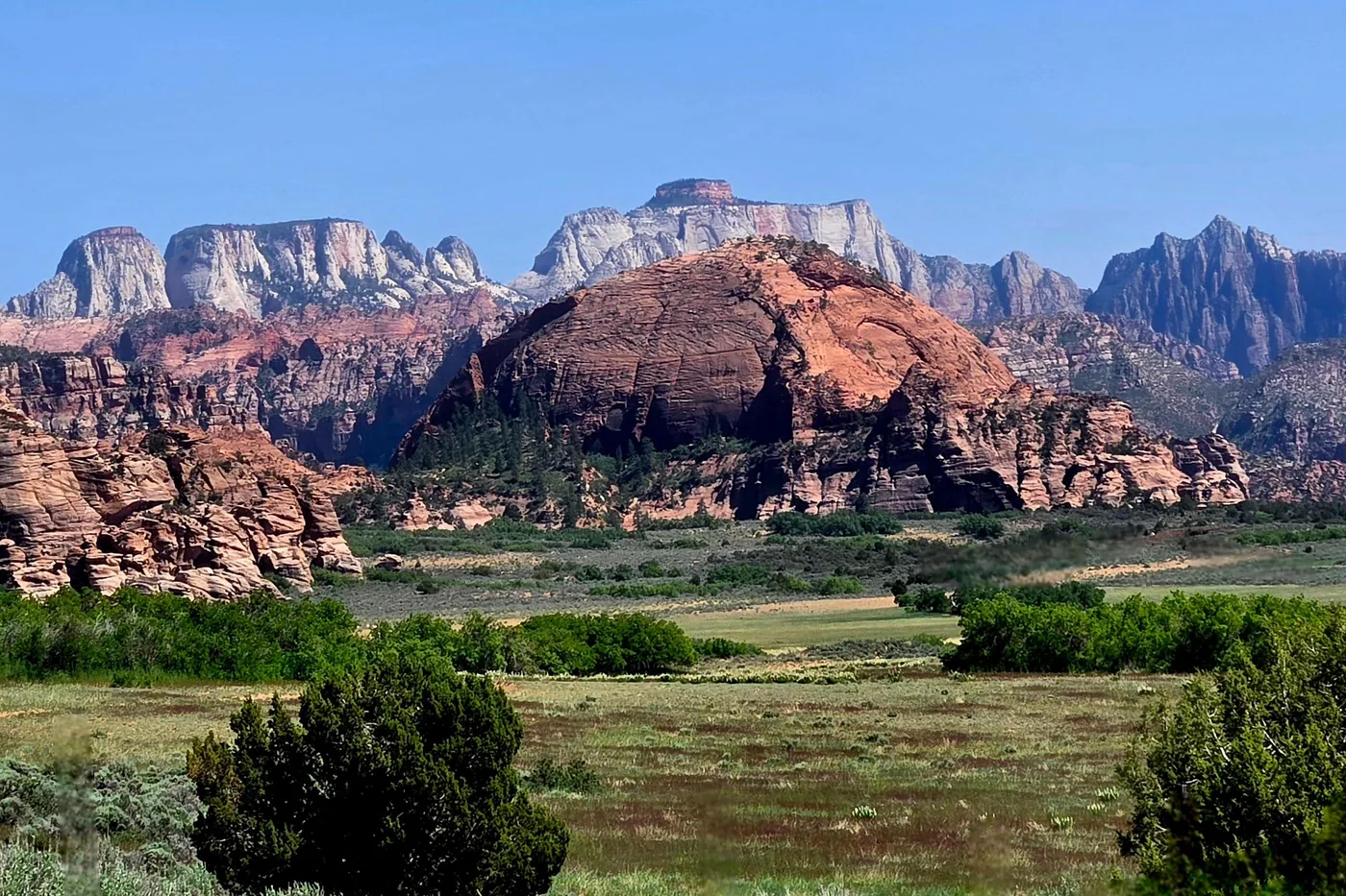
From the end of the Kolob Canyons Road, a short trail runs along a rocky ridge, about one kilometre (0.6 mi) each way. At the top the view reaches over Shuntavi Butte, Timber Creek and the Kolob Terrace to the Pine Valley Mountains; wildflowers bloom here in spring and early summer.
With a span of 87 metres (285 ft), one of the largest natural arches in the world. You see it from a viewpoint at the end of a spur off the La Verkin Creek Trail: about 22.5 km (14 mi) there and back from Lee Pass, seven to nine hours. If you stay overnight on the way, you need a wilderness permit.
A viewpoint at 2,405 metres (7,890 ft) on the Kolob Terrace Road, looking across to Zion Canyon; depending on the weather it is usually open from May to September. Next to it is a campground with six primitive sites. According to the park, condors are often seen on the Kolob Terrace Road near Lava Point.
Nature and history
Volcanoes on the edge of the canyon
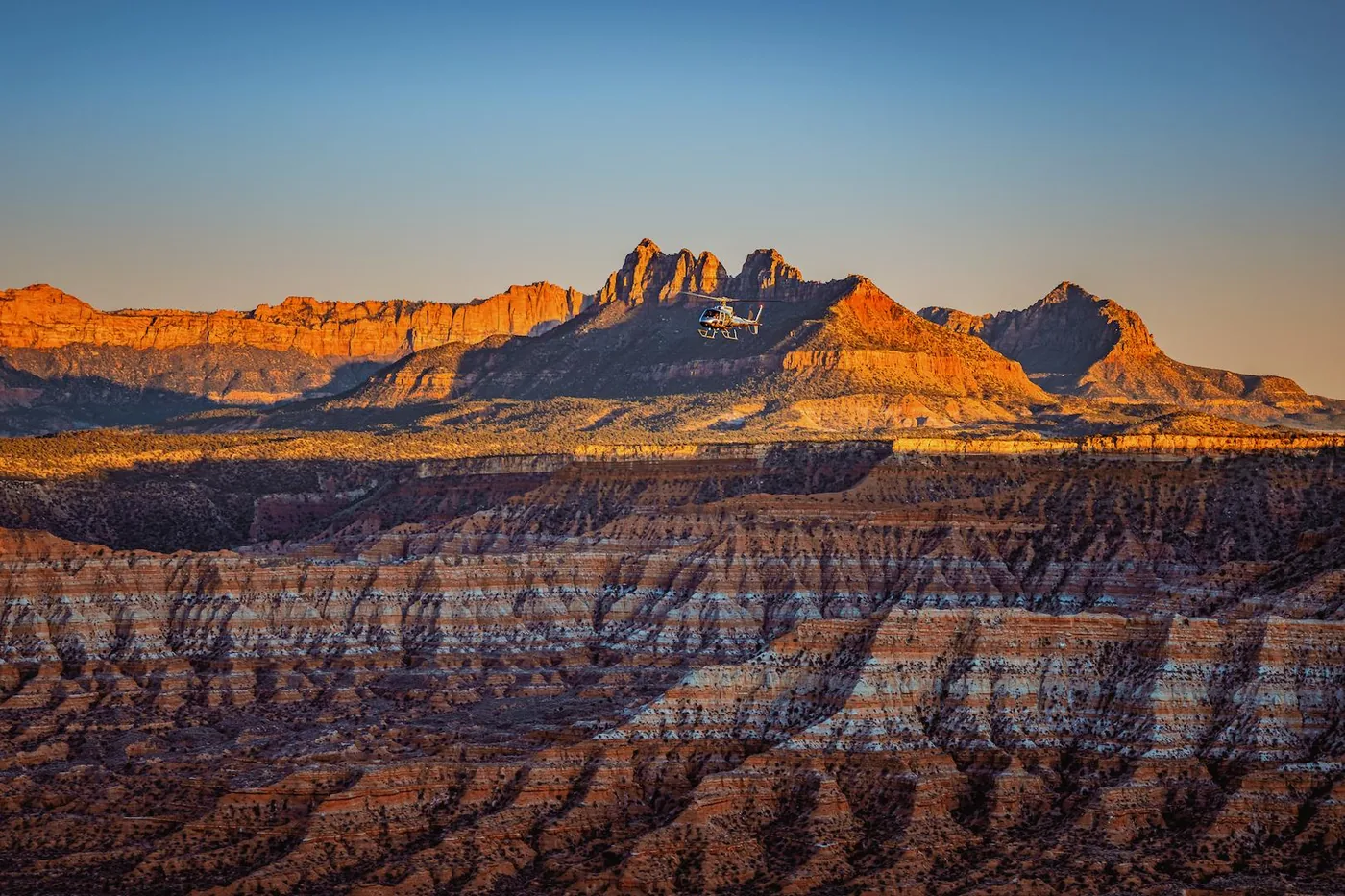
Zion lies on the boundary between the Colorado Plateau and the Basin and Range Province, and there have been several eruptions here in the last million years. The oldest volcano in the park, at 1.1 million years, is the Kolob volcano near Lava Point. The youngest eruption, Crater Hill, took place about 120,000 years ago, below the West Temple on the Virgin River.