


Arrival · South entrance
Ash Mountain Entrance
Entrance on Highway 198, past the town of Three Rivers. Card payment only. From here the road is narrow and winding.
Open in OpenStreetMap ↗Location source ↗
36.48539, -118.83787

18 places with verified coordinates · 16 with photo
GetYourGuide
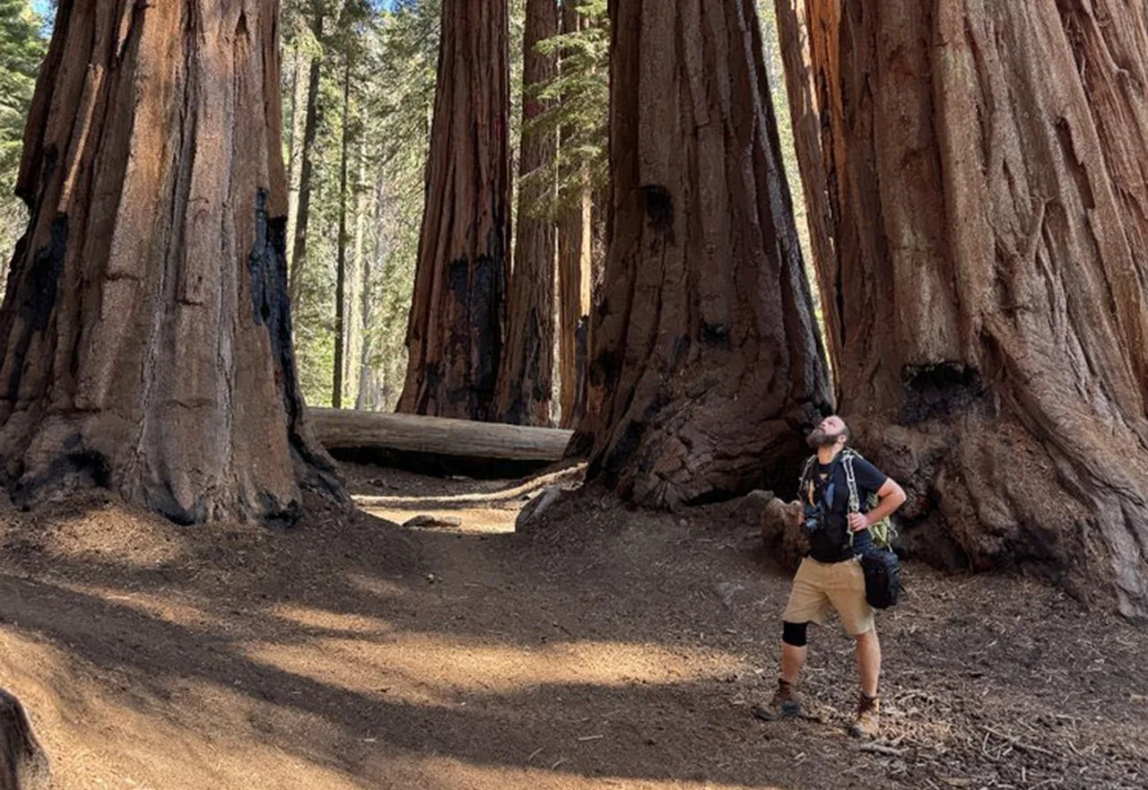
Guided walk to the General Sherman Tree and along the Congress Trail ↗At the start of the Sherman Tree Trail, next to the toilets and shuttle stop in the upper Sherman car park; the tour also ends there.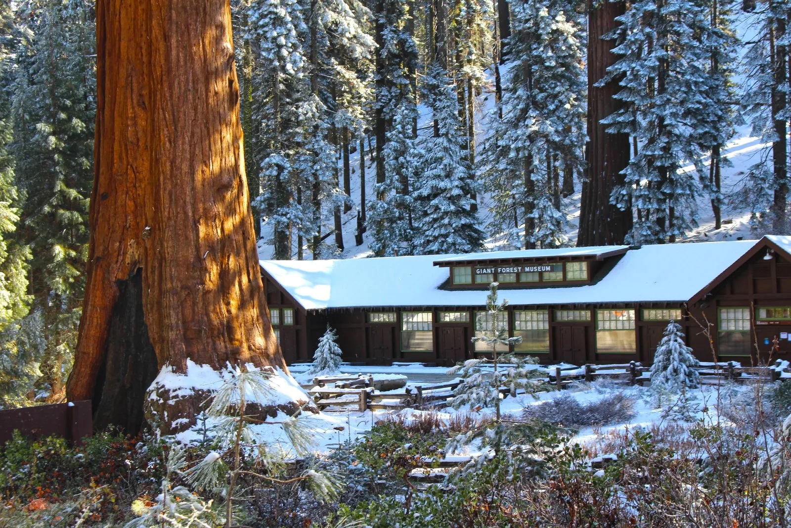
Small group · from Three Rivers · Viator
From Three Rivers: small-group day tour of Sequoia National Park ↗Museum car park in the centre of Three Rivers, opposite the Riverview Restaurant (wooden Paul Bunyan sculpture in front); white minibus with the company logo, departure 08:00. The tour ends there.Ad · partner links: we may earn a commission if you book. Offer details checked 29 Sep 2026; dates and prices with the provider.
Arrival · South entrance
Entrance on Highway 198, past the town of Three Rivers. Card payment only. From here the road is narrow and winding.
Open in OpenStreetMap ↗Location source ↗
36.48539, -118.83787
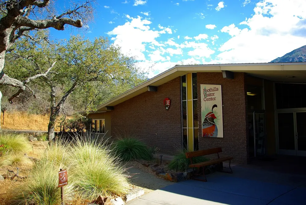
Arrival · Visitor centre
The first visitor centre past the South Entrance, in the warm foothills. In the Sequoia Parks Conservancy shop you can also buy the vehicle pass with cash.
Open in OpenStreetMap ↗Location source ↗
36.49086, -118.82523
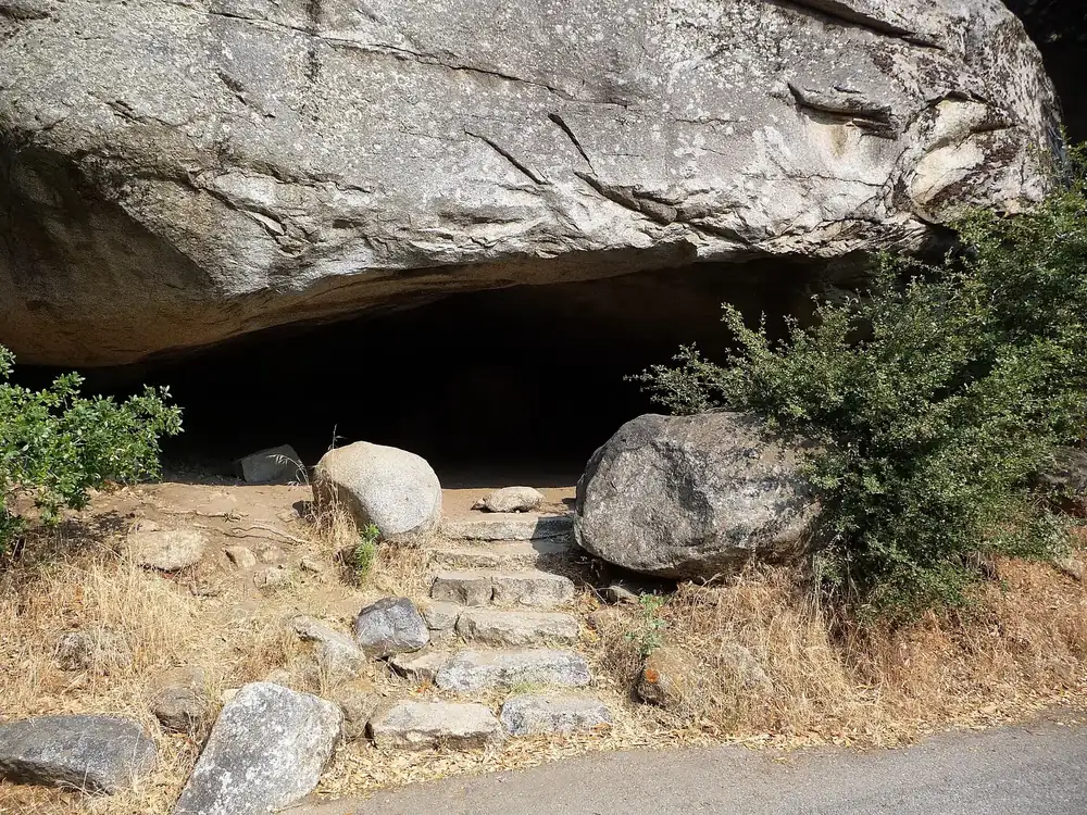
Mountains & rock · Rock
A rock with a picnic area in the foothills. Between here and the Giant Forest Museum the road is very winding and narrow.
Open in OpenStreetMap ↗Location source ↗
36.52124, -118.77129
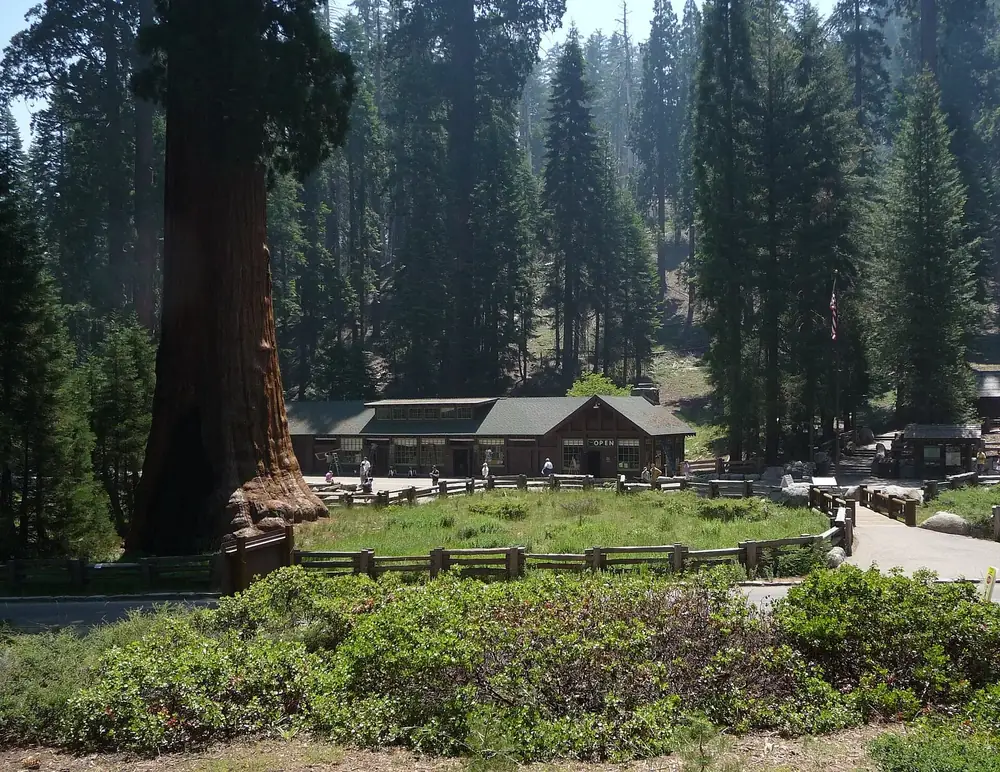
History · Museum and visitor centre
Free museum and gateway to the Giant Forest, start of the Big Trees Trail. No food available; in summer the car park is often full from mid-morning.
Guided from here · Ad
Partner links: we may earn a commission if you book. Dates and prices with the provider.
Open in OpenStreetMap ↗Location source ↗
36.56470, -118.77270
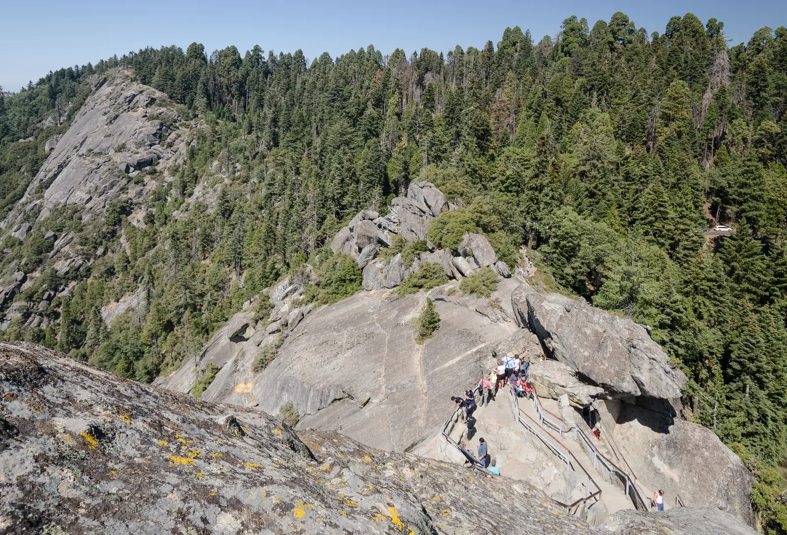
Nature · Granite dome
A staircase climbs about 90 metres (300 ft) to the summit, with views of the Great Western Divide. Do not climb when there is ice or snow on the steps.
A granite dome with a staircase, and the widest view in the Giant Forest.
Open in OpenStreetMap ↗Location source ↗
36.54409, -118.76511
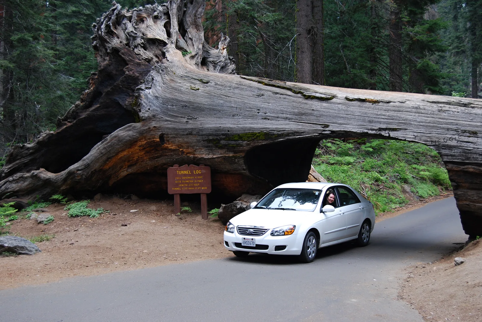
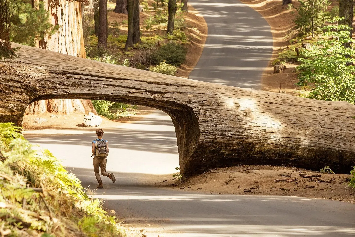
Nature · Fallen giant sequoia
The fallen trunk that Crescent Meadow Road passes through. Vehicles over 6.7 metres (22 ft) and vehicles with trailers are banned on this road.
The spur road to Moro Rock, Tunnel Log and Crescent Meadow: narrow, and car-free at summer weekends.
Open in OpenStreetMap ↗Location source ↗
36.55254, -118.76138
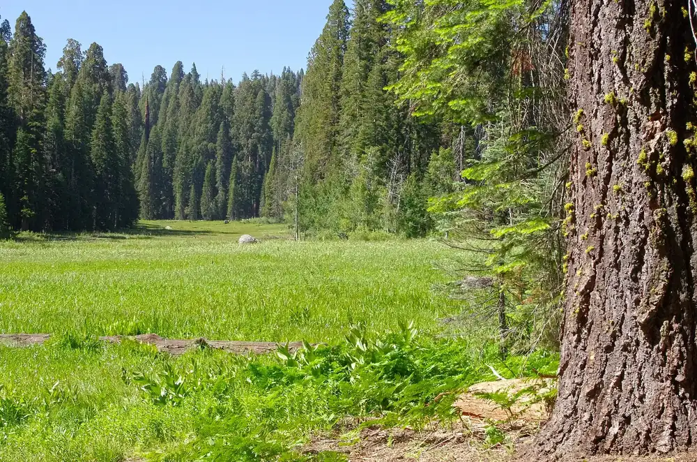
Nature · Meadow
A meadow among giant sequoias at the end of the road, with a loop trail and a picnic area. Start of the High Sierra Trail.
Open in OpenStreetMap ↗Location source ↗
36.55620, -118.74794
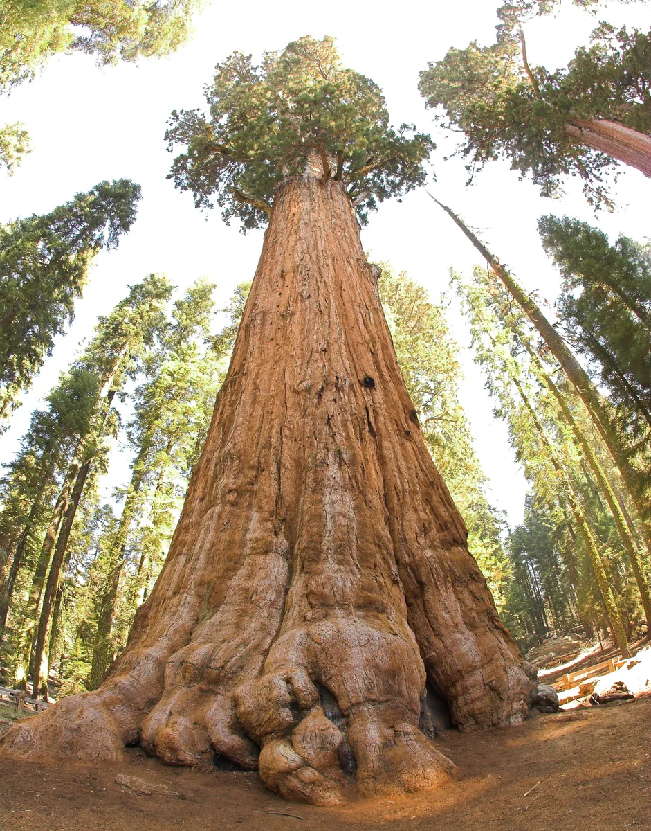
Nature · Tree
The largest tree on Earth by volume. From the main car park on Wolverton Road, a paved path of 0.8 kilometres (0.5 mi) with steps.
The largest tree on Earth by volume, at the end of a short, paved path.
Guided from here · Ad
Partner links: we may earn a commission if you book. Dates and prices with the provider.
Open in OpenStreetMap ↗Location source ↗
36.58165, -118.75144
Arrival · Visitor centre
Visitor centre with a wilderness office at just over 2,000 metres (6,600 ft), closed in winter. Opposite: market, grill, showers and laundry.
Open in OpenStreetMap ↗Location source ↗
36.60409, -118.73213
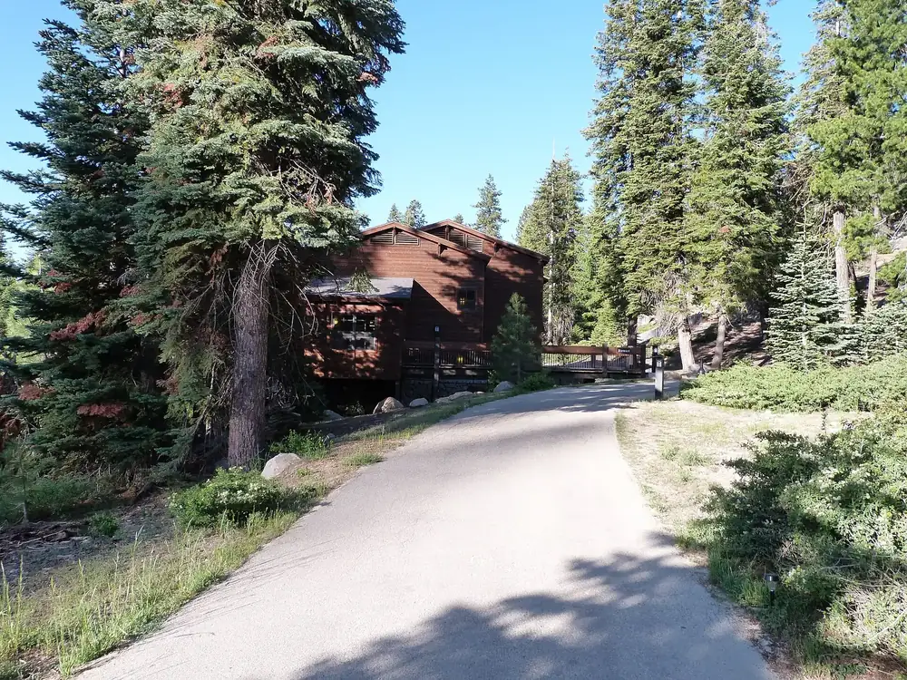
Where to stay · Lodging
The lodge closest to the Giant Forest, with more than 100 rooms and a restaurant.
Open in OpenStreetMap ↗Location source ↗
36.60959, -118.75202
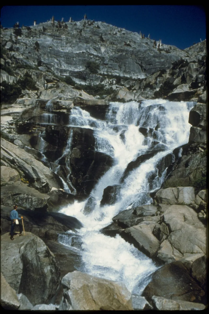
Water · Waterfall
The 366-metre (1,200 ft) cascades at the end of an easy trail of 2.7 kilometres (1.7 mi) from Lodgepole Campground. Most impressive in early summer.
Open in OpenStreetMap ↗Location source ↗
36.61101, -118.69409
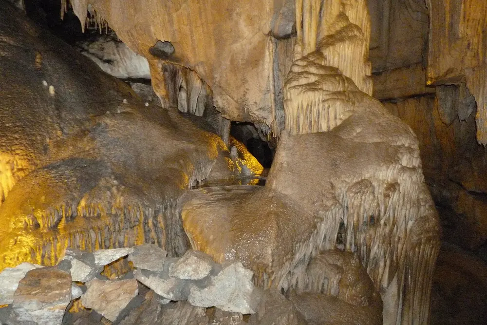
Mountains & rock · Cave
A marble cave, open only on guided tours. The 2026 season has ended; tours are expected to restart in late spring 2027.
Open in OpenStreetMap ↗Location source ↗
36.58923, -118.82615
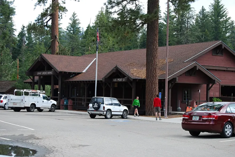 Surroundings
Arrival · Visitor centre
In Grant Grove Village, five kilometres (three miles) past the Big Stump Entrance on Highway 180. Exhibition and park film.
Open in OpenStreetMap ↗Location source ↗
36.73992, -118.96326
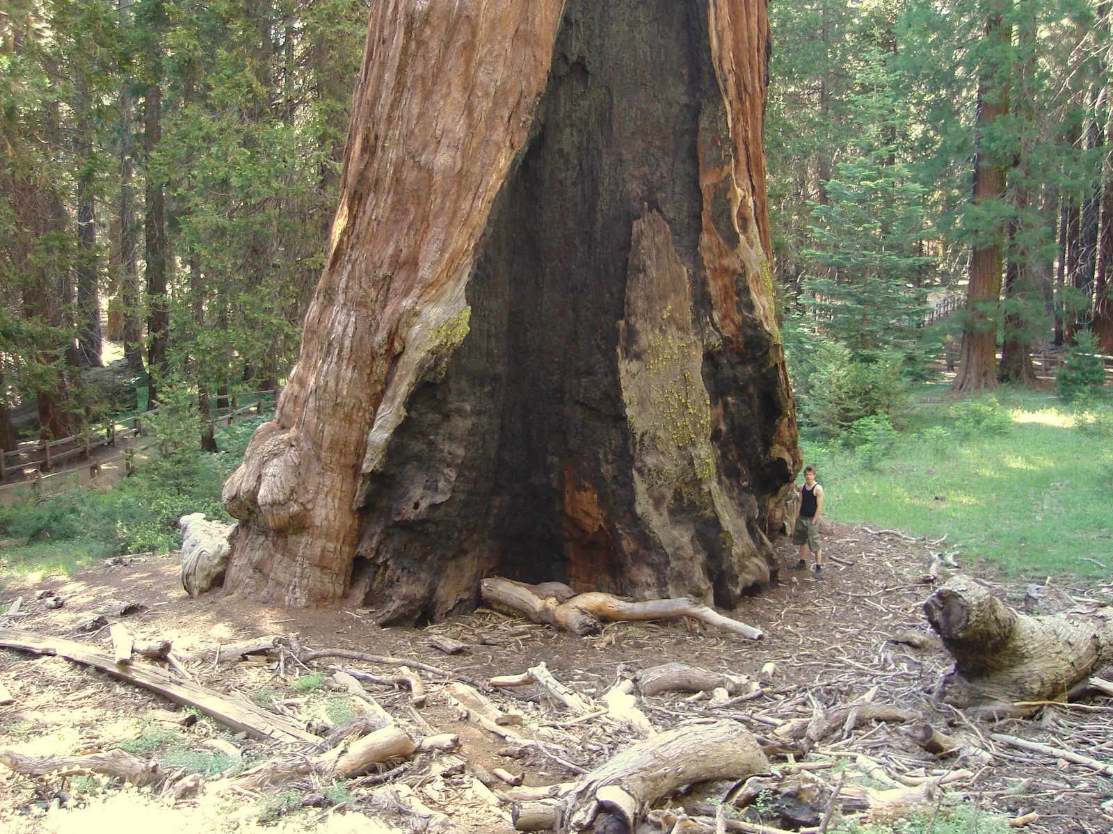
Nature · Tree
The second-largest tree on Earth by volume and the Nation's Christmas Tree, reached on a paved loop of half a kilometre (0.3 mi).
The original General Grant National Park of 1890, with the second-largest tree on Earth.
Open in OpenStreetMap ↗Location source ↗
36.74806, -118.97111
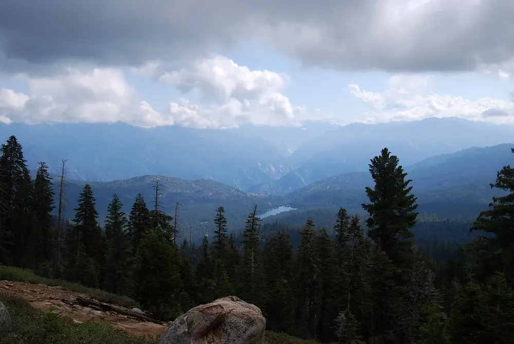
Viewpoint · Viewpoint
A short, easy path to a wide view over the wilderness. RVs and trailers are banned on the access road.
Open in OpenStreetMap ↗Location source ↗
36.75369, -118.94435
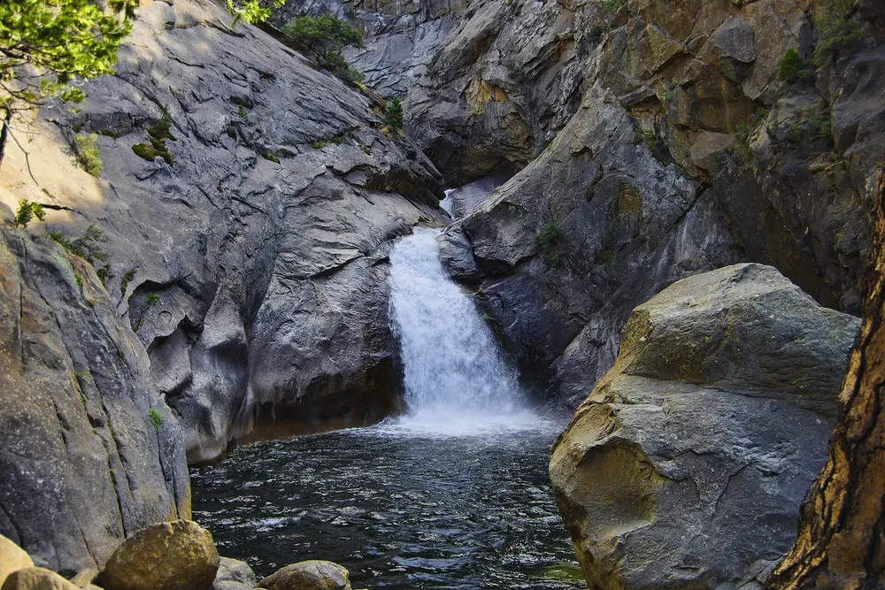
Water · Waterfall
A waterfall in Cedar Grove. Long RVs are better off approaching the car park from the north.
Open in OpenStreetMap ↗Location source ↗
36.78147, -118.62190
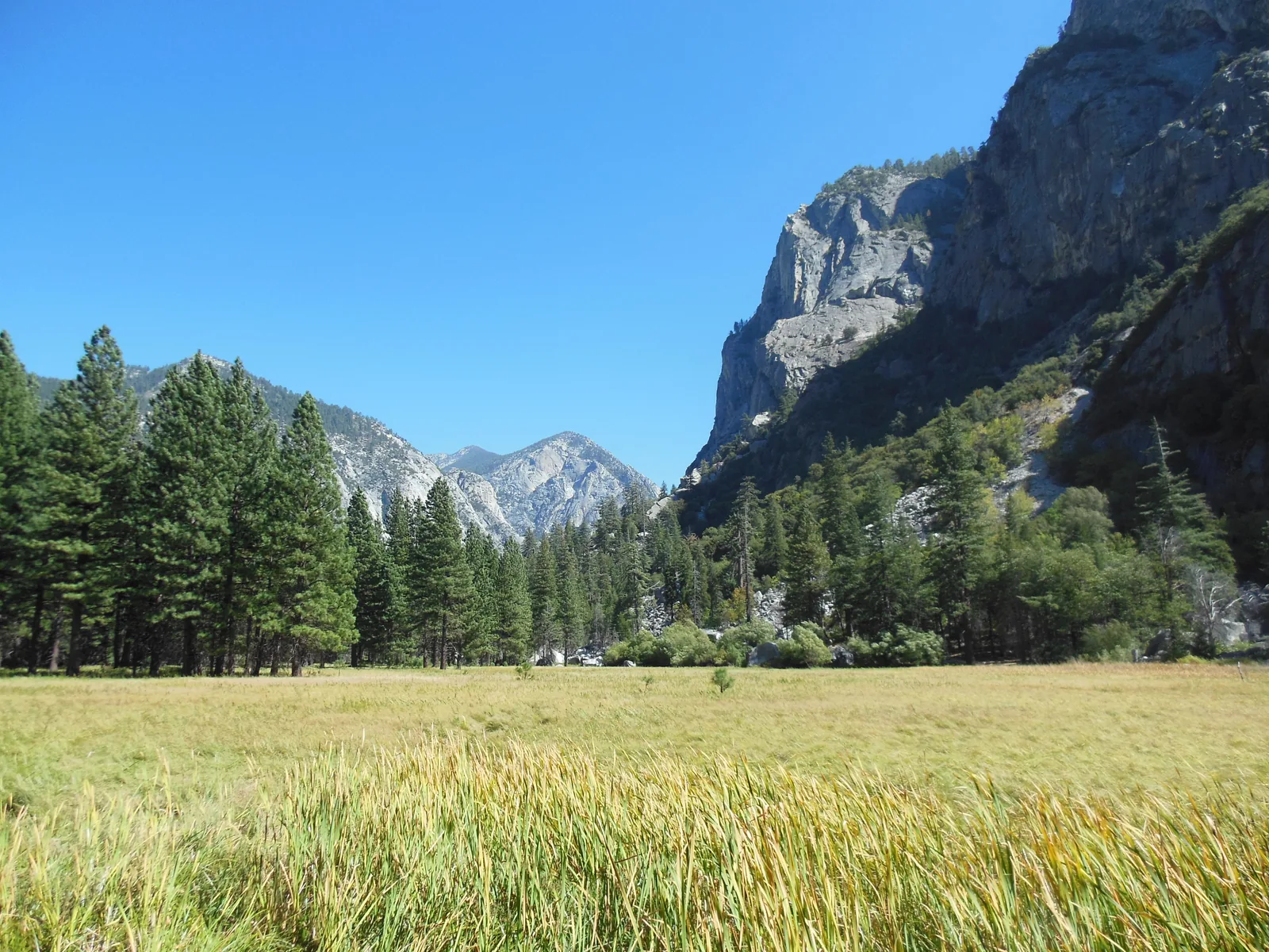
Nature · Meadow
The well-known meadow on the floor of Kings Canyon below granite walls, near the end of the road.
The glacial valley that gave Kings Canyon its name, and one of the quietest parts of the parks.
Open in OpenStreetMap ↗Location source ↗
36.79161, -118.59612
 Surroundings
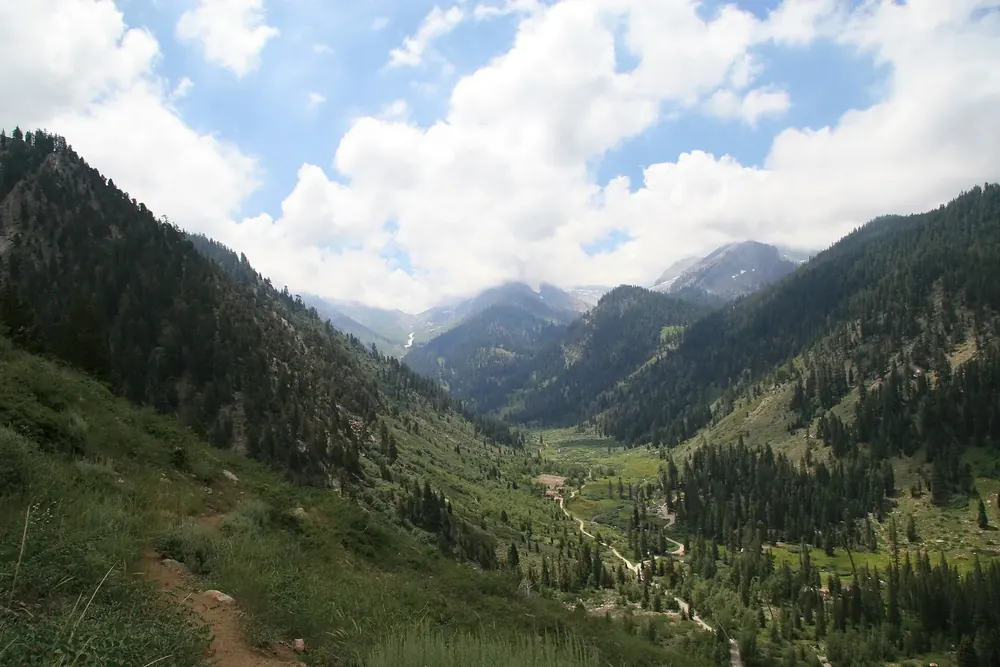
Nature · Remote part of the park
The high southern part of the park with its own narrow, partly unpaved access road; open only from late May to late October.
Open in OpenStreetMap ↗Location source ↗
36.45283, -118.61080
Loading map …