Ranger programme · summer evenings · Olympic National Park (National Park Service)
Ranger star nights and evening programmes ↗Telescope nights at the Hurricane Ridge parking area, full-moon hikes from the Hurricane Hill trailhead, evening programmes at the amphitheatres of Heart O’ the Hills and Kalaloch campgrounds. Dates are in the park calendar and in the summer issue of the park newspaper, the Bugler.
Ad · partner links: we may earn a commission if you book. Offer details checked 2 Oct 2026; dates and prices with the provider.
Arrival · Visitor centre in Port Angeles, daily 9:00 to 17:00
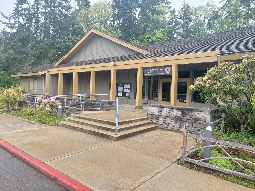
Olympic National Park Visitor Center
Main visitor centre on the edge of Port Angeles, with the Wilderness Information Center for permits and bear canisters. Two short forest loops start at the car park, one of them open to dogs.
The base for the north side: 17 miles (27 km) to Hurricane Ridge, 18 (29 km) to Lake Crescent, 40 minutes to Sol Duc. In summer the bus up to the ridge leaves from the Gateway Transit Center, and the Coho ferry to Victoria from the harbour.
Where to stay · Campground, open all year, 97 sites
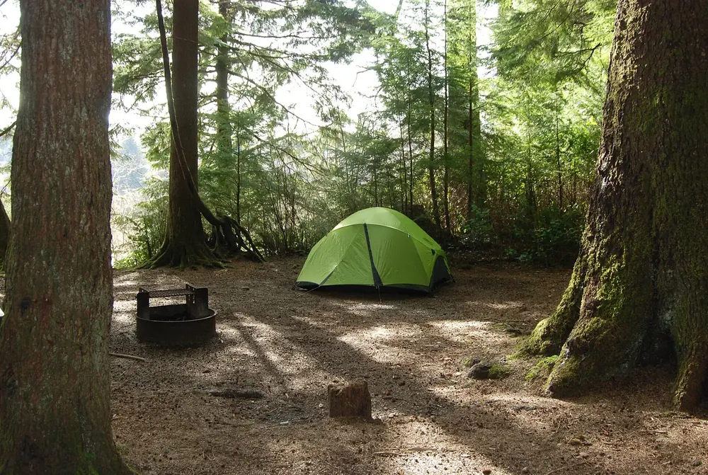
Heart O’ the Hills Campground
The closest campground to Hurricane Ridge, five miles (8 km) beyond Port Angeles, in old-growth forest. No reservations, $24; in heavy snow reachable only on foot.
Mountains & rock · Mountain viewpoint, 5,242 ft (1,598 m)
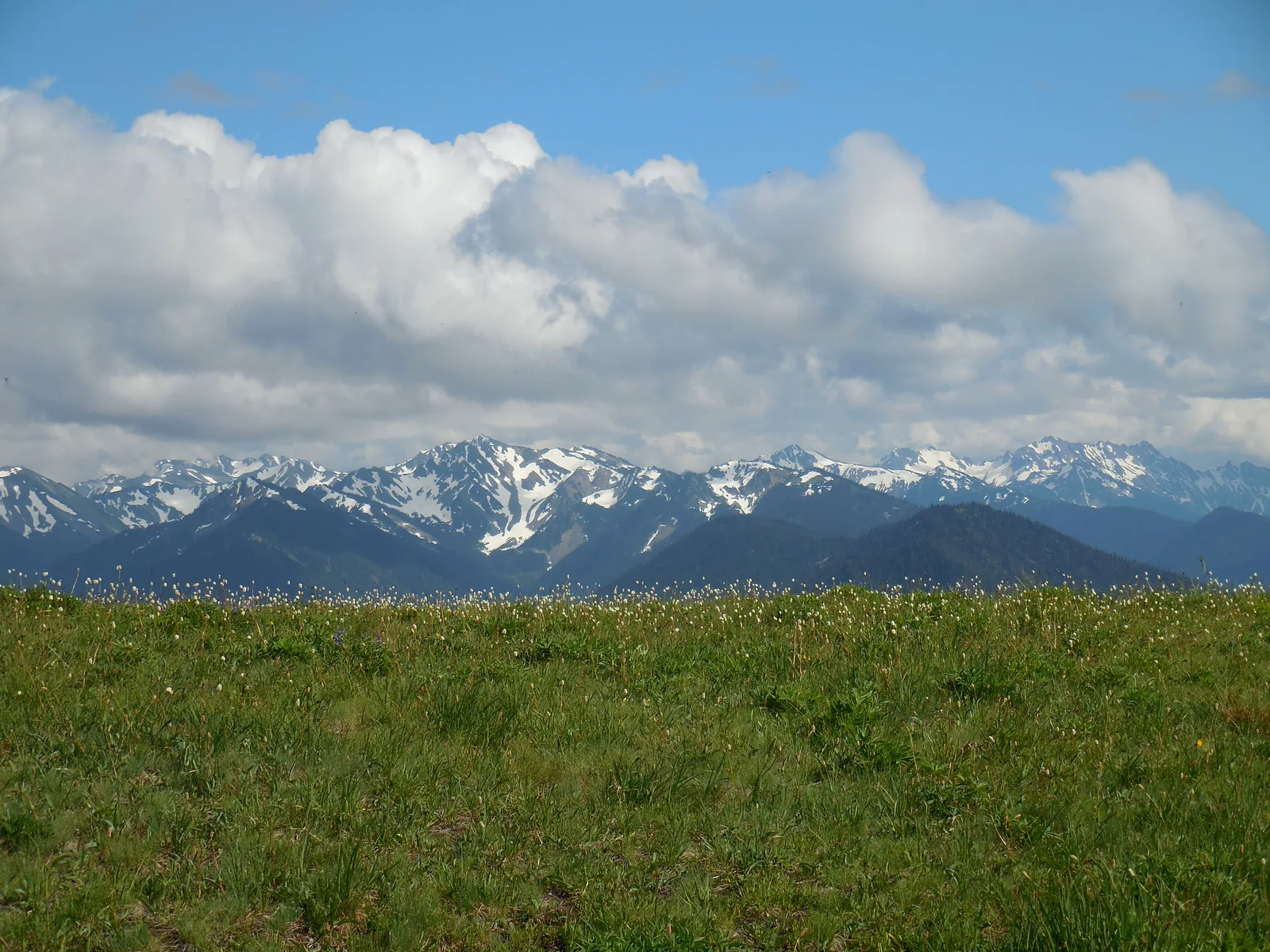
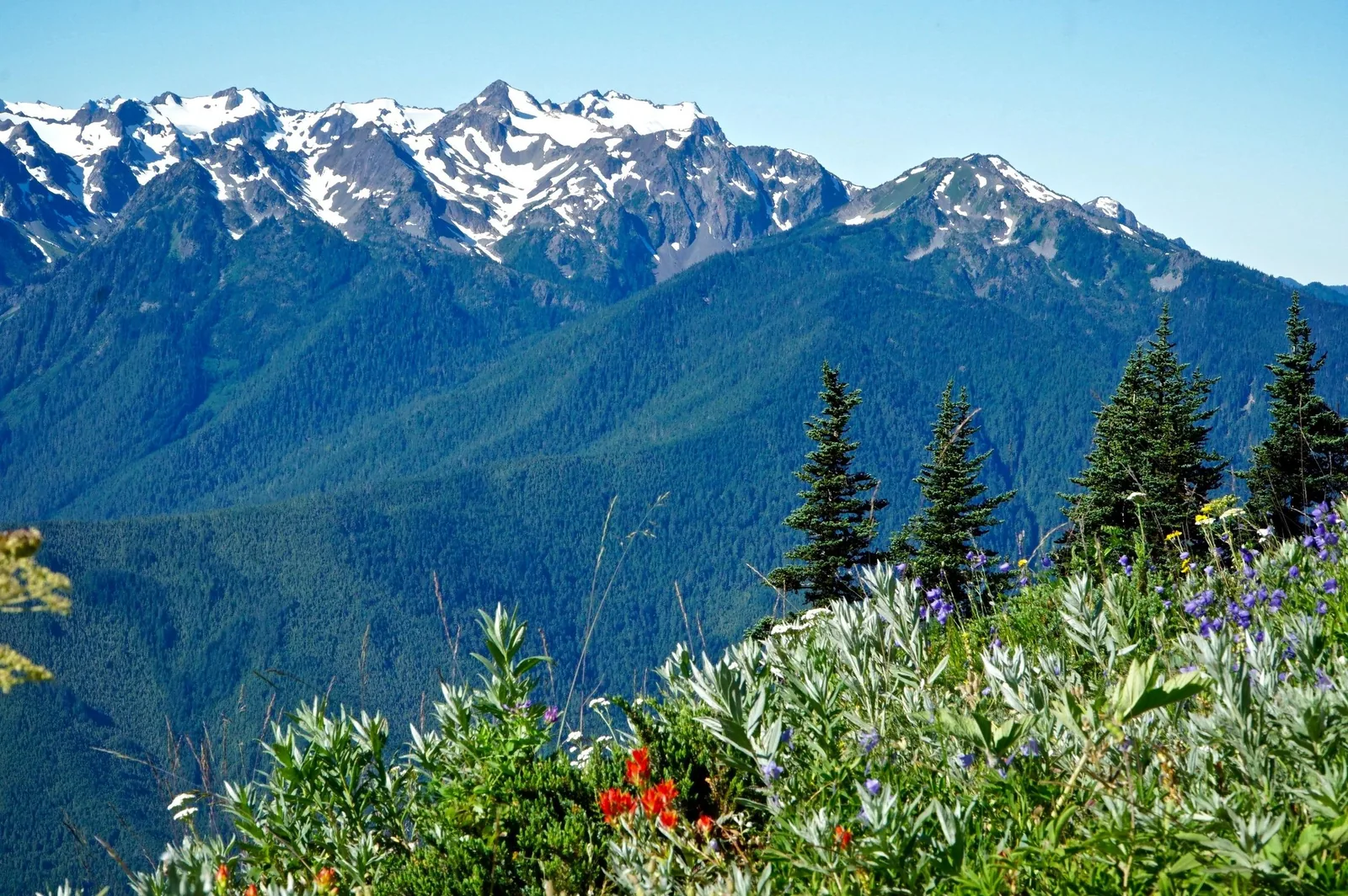
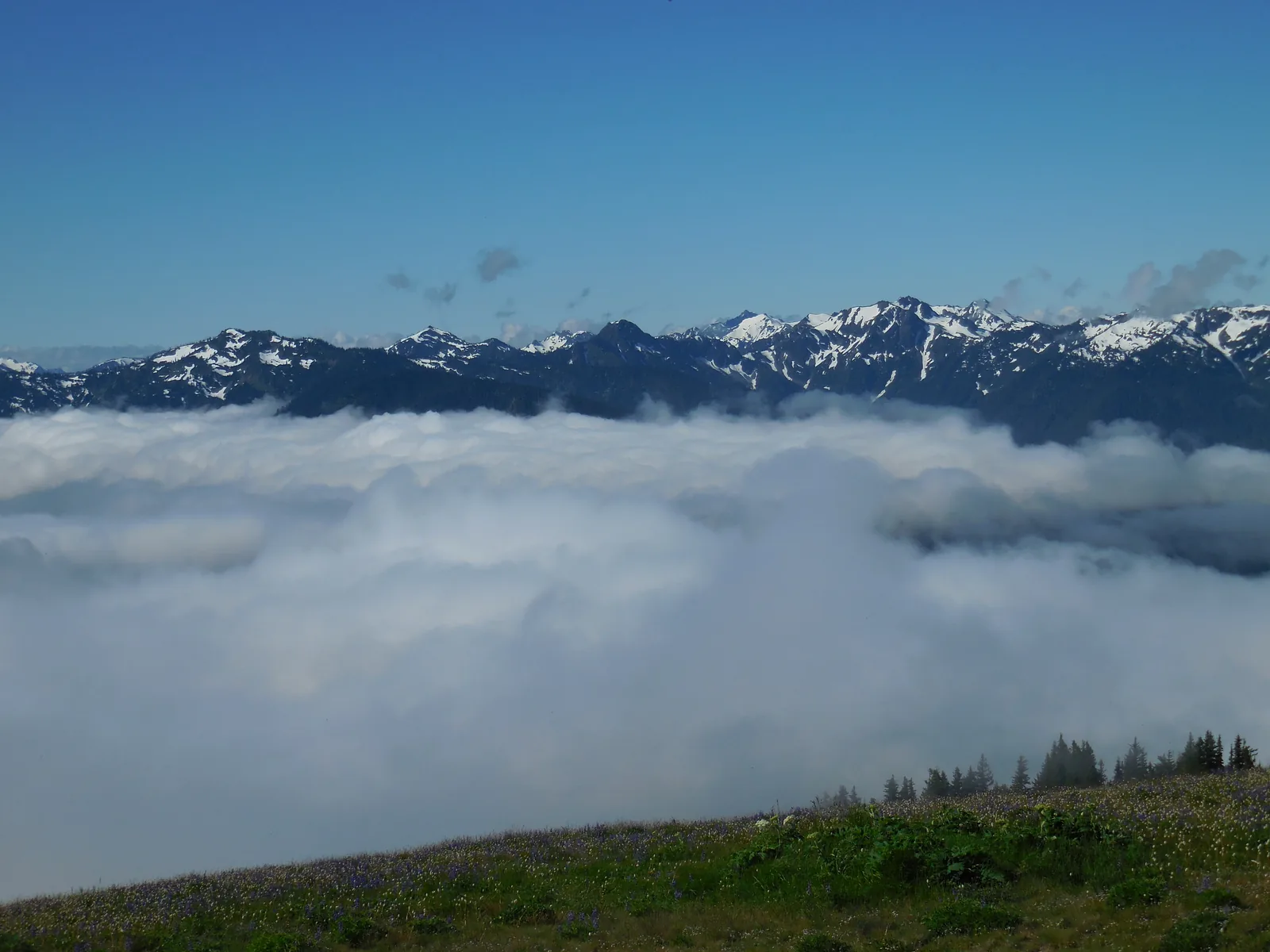
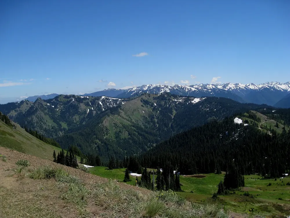
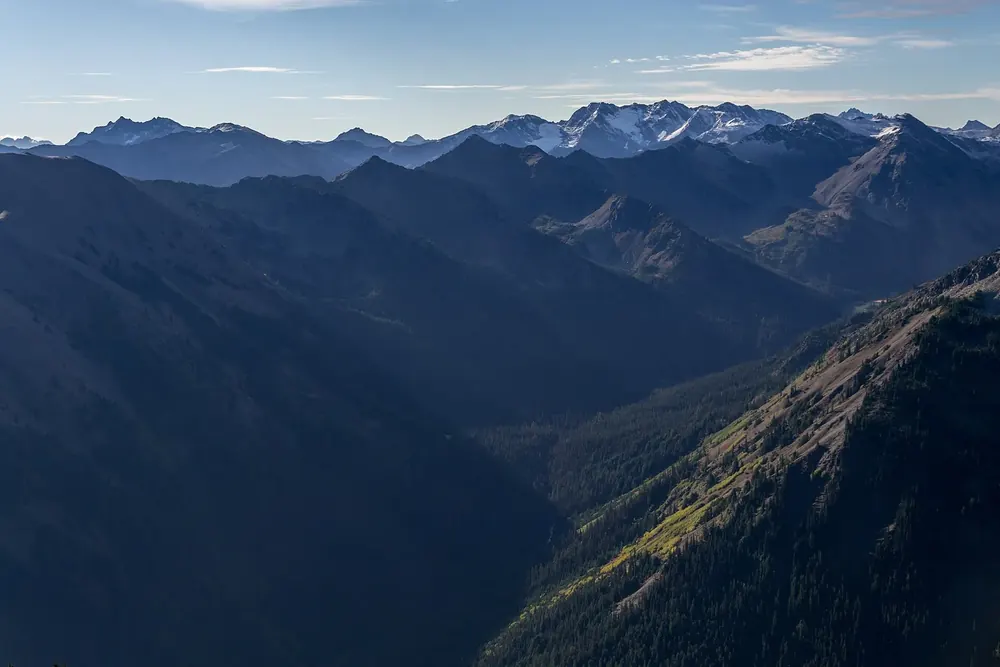
Hurricane Ridge
The most easily reached mountain view in the park, at the end of the 17-mile (27 km) road from Port Angeles. Only limited services since the day lodge burned down; construction work in 2026, no drinking water. In winter only Friday to Sunday, with snow chains.
The mountain view for everyone, 17 miles (27 km) beyond Port Angeles, and without a building since the fire.
Hurricane Hill Road continues a mile and a half (2.4 km) to the trailhead, not for RVs. At the top: views of the mountains, the Strait of Juan de Fuca and the islands.
Where to stay · Campground at 5,400 ft (1,646 m), tents only
Deer Park Campground
Fourteen sites with mountain views and a starry sky, June to mid-October depending on snow. Steep gravel access road, no water, no rubbish collection; $15.
A paved 0.1-mile (160 m) path in the Elwha valley, dogs allowed. A road washout means this is now as far as you can drive; the road beyond is open on foot and by bike. Following the removal of two dams in 2014, the Elwha now flows freely again.
Where to stay · Lodge from 1915, rowing boats, trailhead
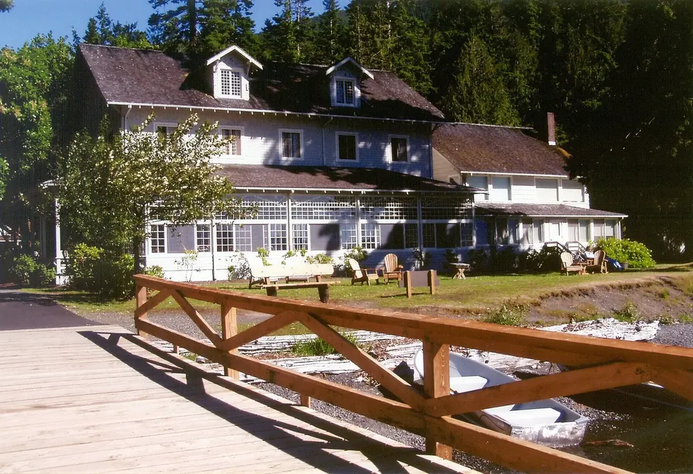
Lake Crescent Lodge
At Barnes Point on the 101: rooms, cottages, a restaurant and kayak rental, from 17 April 2026 to 1 January 2027. The trail to Marymere Falls starts here.
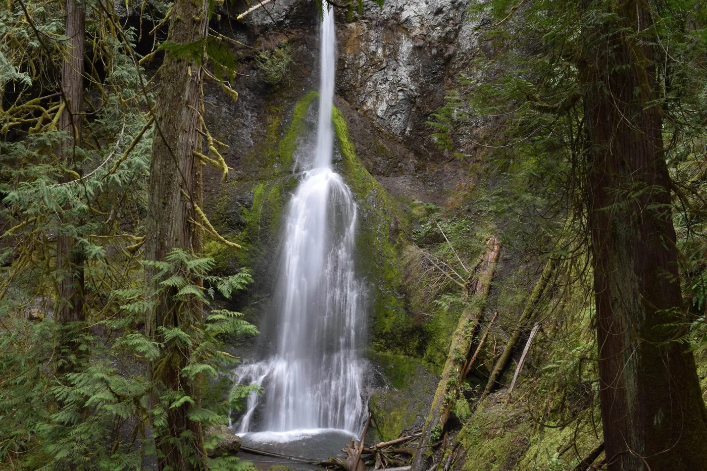
The most popular trail at Lake Crescent, from Storm King Ranger Station through old-growth forest to the falls. Dogs are not allowed; the Spruce Railroad Trail on the north shore is the dog-friendly alternative.
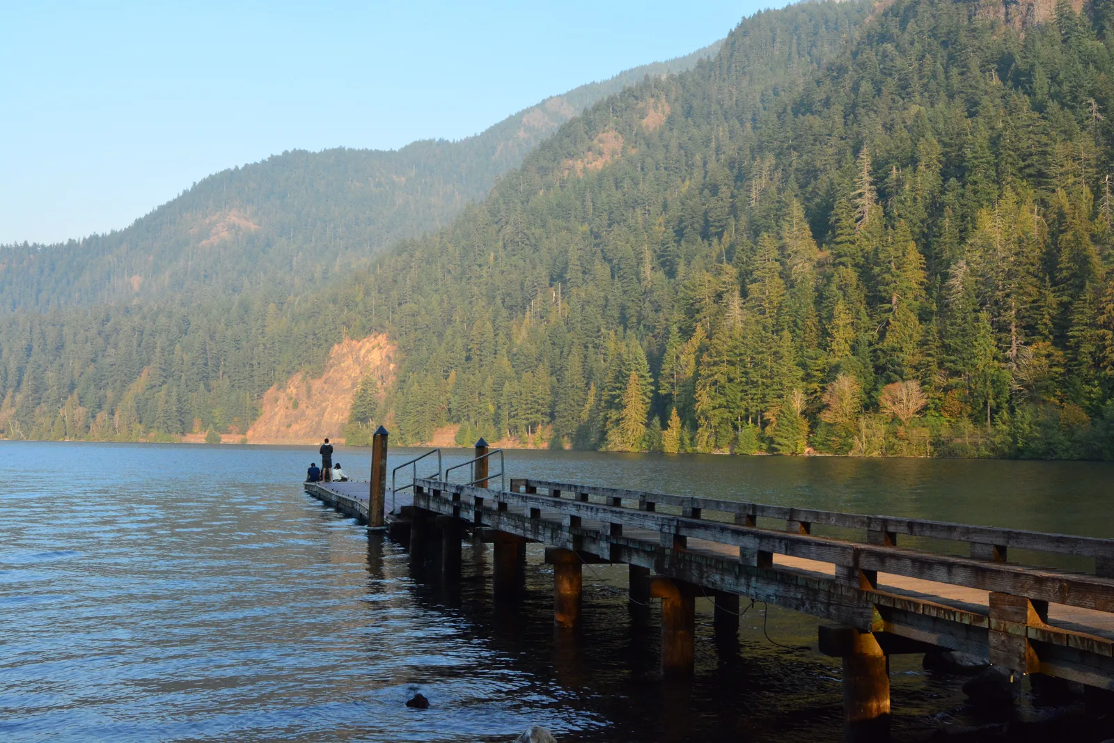
A glacial lake 624 ft (190 m) deep, cut off from its neighbour 7,000 years ago, with two trout found nowhere else.
An old railway line along the north shore of Lake Crescent, one of the six trails in the park where dogs on a leash are allowed. Access from Lyre River/East Beach Road and from the North Shore Picnic Area.
Where to stay · Campground and boat ramp at the west end
Fairholme
88 sites by the lake, from 25 April to 29 September, reservations required from 15 May; $24. Boat ramp and the concessioner's store. From the west end, the Hoh and the coast are about an hour away.
Surroundings · Hot springs and resort, 20 March to 1 November
Sol Duc Hot Springs
Concession-run resort with mineral pools, cabins, a restaurant and the 82-site campground in old-growth forest by the river, $33, reservations via Recreation.gov.
Water · Waterfall, one mile (1.6 km) from the car park
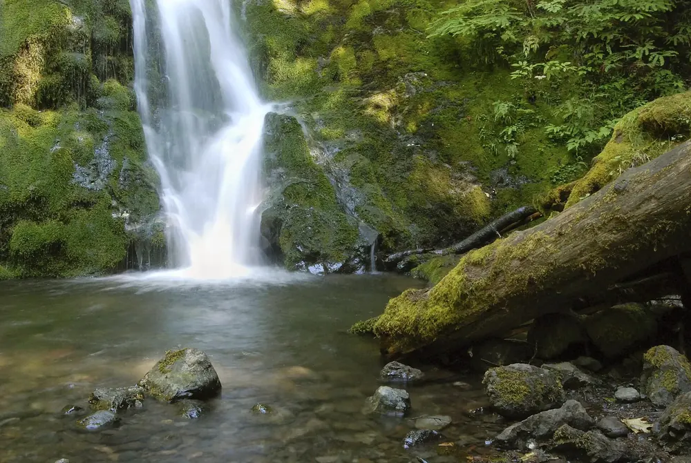
Sol Duc Falls
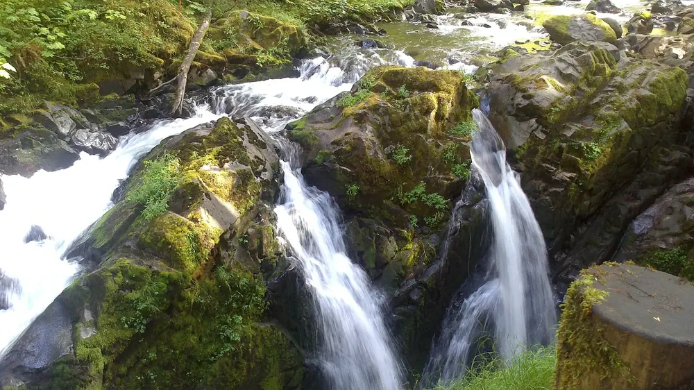
The classic of the Sol Duc valley: one mile through old-growth forest to the viewing bridge over the gorge. Lover’s Lane (a six-mile loop, 9.7 km) and the trail to Mink Lake continue from here.
About five miles (8 km) up Sol Duc Road. In late October and early November, coho salmon leap up the steps here; chinook run in late summer, trout in winter.
Surroundings · Town on the 101, base for the west side and the coast
Forks
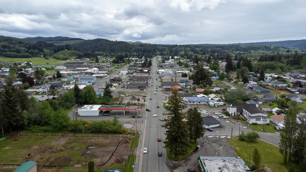
The largest town on the west side, less than an hour from the Hoh and close to Rialto and La Push. Accommodation via the chamber of commerce; day tours stop here for shopping.
Arrival · Visitor centre at the end of Upper Hoh Road
Hoh Rain Forest Visitor Center
The starting point for the Hall of Mosses, the Spruce Nature Trail and the Hoh River Trail. Open daily in summer, closed from January to early March, mostly Friday to Sunday in spring and autumn. On summer weekends, expect a wait of one to two hours at the entrance.
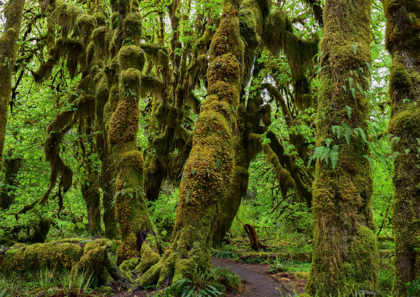
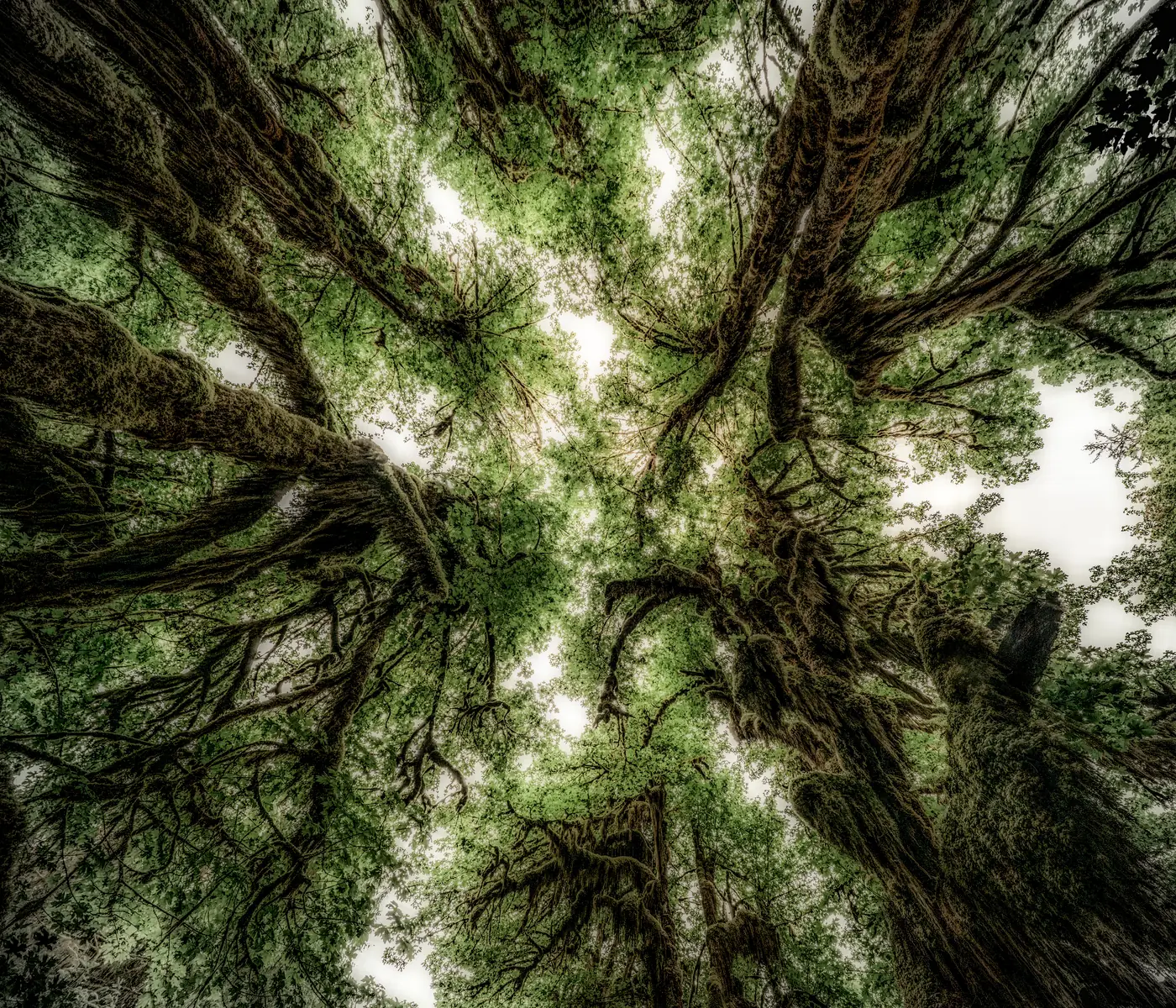
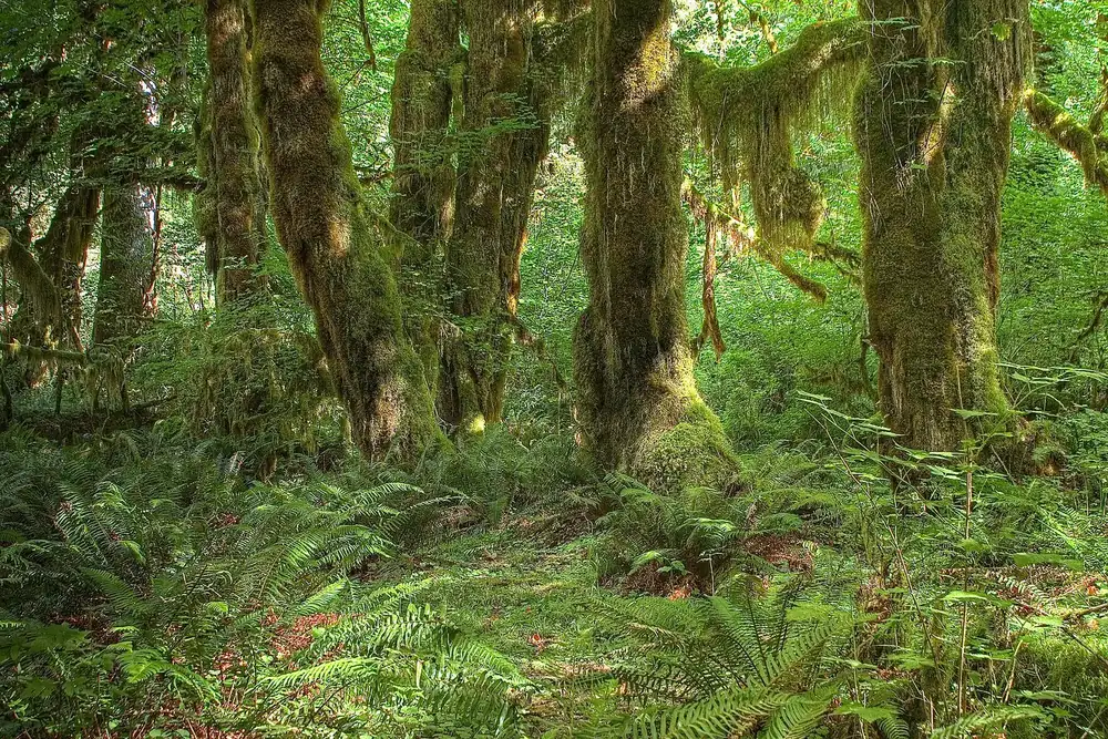
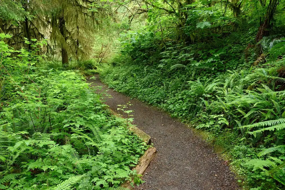
One hundred and forty inches of rain a year, and the maples wear their moss like coats.
The best-known trail in the park: old maples draped all over in moss, with 140 inches (3.6 m) of rain a year. Dogs are not allowed, as on all trails in the Hoh.
Where to stay · Campground, open all year, 78 sites
Hoh Campground
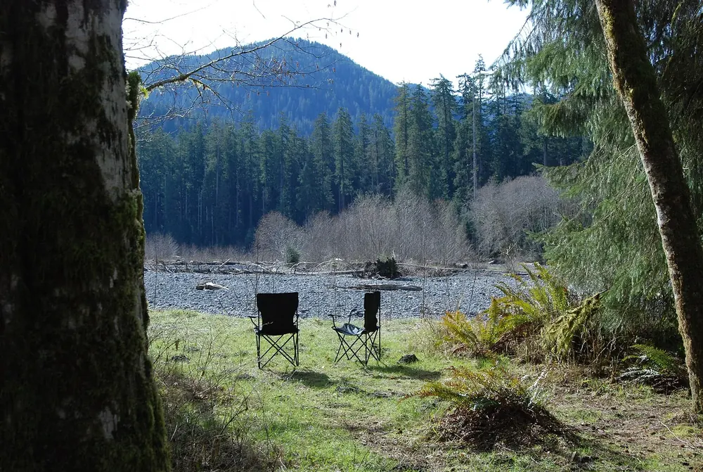
On the Hoh River in old-growth forest, reservations required from 12 June to 6 September, first come, first served otherwise; $24. Roosevelt elk are often in sight.
Mountains & rock · Highest summit, 7,980 ft, 2,432 m
Mount Olympus
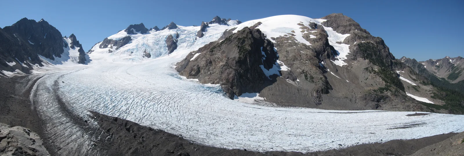
From the Hoh River Trail it is 17.3 miles (27.8 km) to Glacier Meadows and 18.5 (29.8 km) to the moraine of the Blue Glacier. The summit itself is a glacier climb with rope and crampons.
The highest mountain on the peninsula, less than 33 miles (53 km) from the sea, and a glacier that moves three feet (0.9 m) a day.
Elevation
7,980 ft, 2,432 m
Blue Glacier
2.6 miles (4.2 km) long, up to 900 ft (274 m) thick
Where to stay · Campground, open all year, 94 sites
Mora Campground
Two miles (3.2 km) before Rialto Beach on the Quillayute River, reservations required from 15 May to 20 September; $24. According to the park authority, Mora Road was closed for construction from 8 July to 15 October.
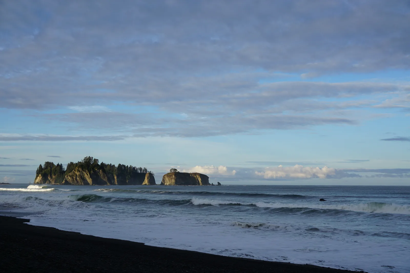
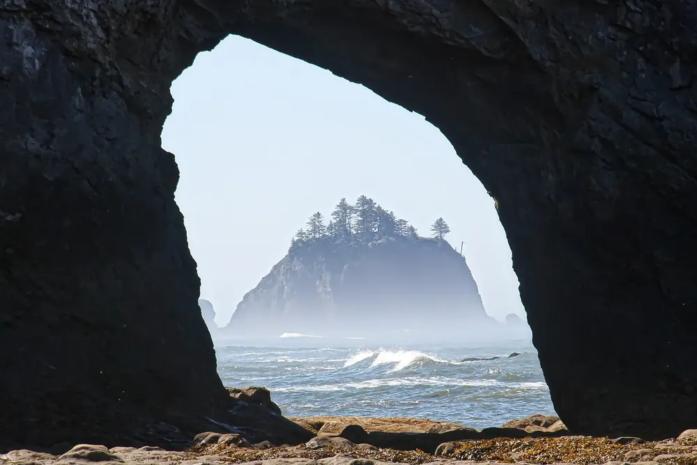
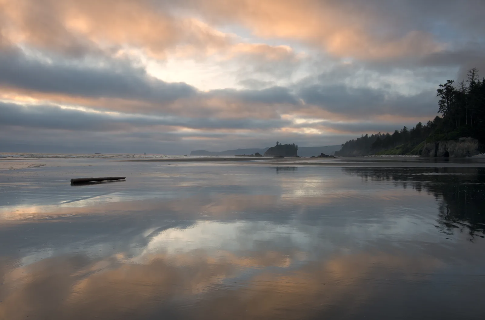
Driftwood logs, surf and the rocky islands off La Push. Dogs only from the car park to Ellen Creek, half a mile (0.8 km). A mile and a half (2.4 km) north is the Hole-in-the-Wall rock arch, reachable only at low tide.
Driftwood, surf, rocky islands, and an arch you can only reach at low tide.
Access
SR 110 and Mora Road
Hole-in-the-Wall
1.5 miles (2.4 km) north
Dogs
only as far as Ellen Creek
Second Beach
0.7-mile (1.1 km) forest trail, 200 ft (61 m) descent
Water · Beach with sea stacks, 0.7-mile (1.1 km) forest trail
Second Beach
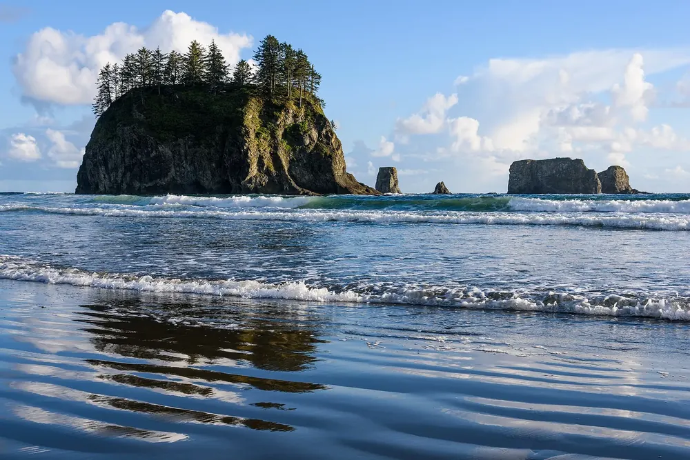
The trail starts at the car park on the Quileute Reservation and drops 200 ft (61 m) through coastal forest to a sandy beach with sea stacks and tide pools. No dogs. Third Beach next door: 1.4 miles (2.3 km) and a 270 ft (82 m) descent.
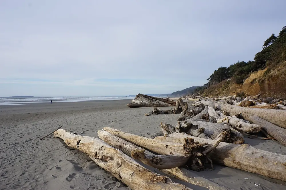
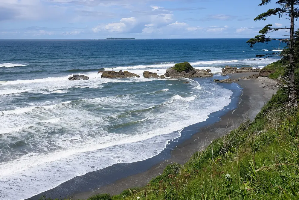
Where Cedar Creek meets the sea, 7.5 miles (12 km) north of Kalaloch: sea stacks, tide pools, driftwood. Dogs on a leash allowed. In summer the car park is hard to get into.
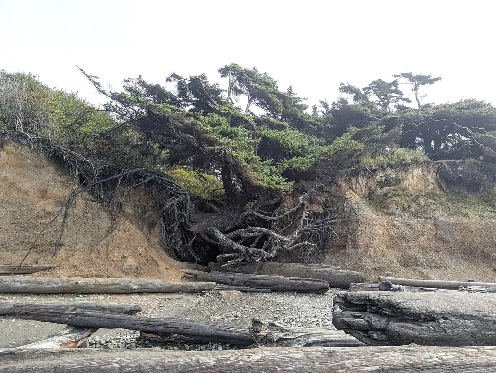
The coast you can reach from the highway, with dogs, a lodge and the tree on the cliff.
Rooms and cabins right above the Pacific, a restaurant and a shop. The ranger station next door hands out tide tables and awards the Bark Ranger badge.
Where to stay · Clifftop campground, open all year, 170 sites
Kalaloch Campground
The most booked campground in the park, some sites with sea views. Reservations required from 15 May to 20 September; $24. South Beach next door has 55 sites without reservations and without drinking water.
Trails · Rain forest trails, 1.3-mile (2.1 km) loop
Quinault Rain Forest Trailhead
From the ranger station to the Kestner homestead and through maple groves; the longer trails lead to Low Divide and the Enchanted Valley. Three hours from Port Angeles, one from Forks.
Douglas fir forest on the North Fork Skokomish, an hour from Olympia. 49 campsites, reservations from 8 July to 29 September. Shady Lane is level; Flapjack Lakes climbs 3,000 ft (914 m).
Trails · Starting point of the boardwalks to the coast
Ozette Ranger Station
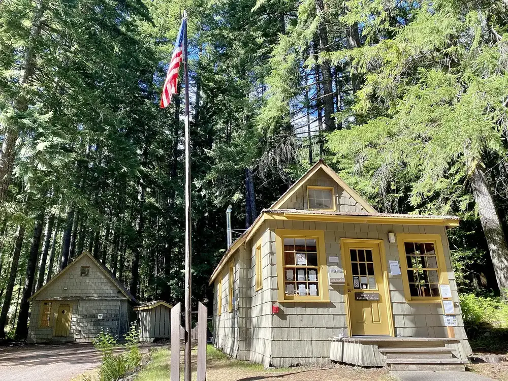
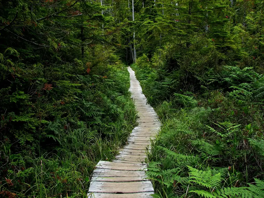
On Lake Ozette, 15 campsites without reservations. Cape Alava Trail 3.1 miles (5 km), Sand Point Trail 2.8 (4.5 km), nine miles (14.5 km) as the Ozette Loop; the boards are slippery when wet. No permits or bear canisters available on site.
The destination of the northern boardwalk, with harbour seals and grey whales during migration months. The 300-year-old Makah village preserved by a mudslide was excavated here; the finds are kept in Neah Bay.
Water · Sandy beach, end of the southern boardwalk
Sand Point
A wide sandy beach after 2.8 miles (4.5 km) through coastal forest. The beach section of the loop runs between Sand Point and Cape Alava; fires are not allowed here.