The busiest entrance, eight kilometres (5 mi) south of the junction of Highway 62 and Park Boulevard in the town of Joshua Tree. Card payment only. One of the park's three water filling stations is here too.
In Twentynine Palms, five kilometres (3 mi) south of the junction of Highway 62 and Utah Trail. Card payment only here as well. This is the shortest way to the park's main visitor centre.
The access road from Interstate 10, 40 km (25 mi) east of Indio. There is no staffed fee booth here; you pay further north at the Cottonwood Visitor Center.
Arrival · Visitor centre in the town of Joshua Tree
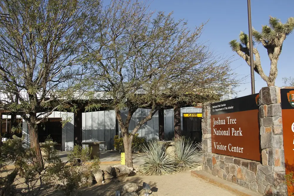
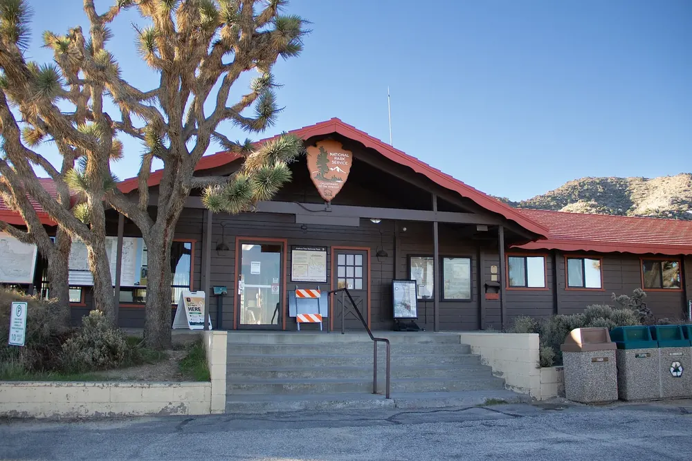
Joshua Tree Visitor Center
At 6554 Park Boulevard in the town of Joshua Tree, before the west entrance. Open 7:30 to 17:00, with a bookshop, café and toilets. The earliest-opening visitor centre of the park.
On Pinto Basin Road, about eleven kilometres (7 mi) north of Interstate 10. Open 8:30 to 16:00. If you come in through the south entrance, this is where you buy your ticket.
On Black Rock Canyon Road in Yucca Valley, next to the campground of the same name. Open 8:00 to 16:00 with a one-hour lunch break; from June to the end of August only Thursday to Sunday, 9:00 to 16:00.
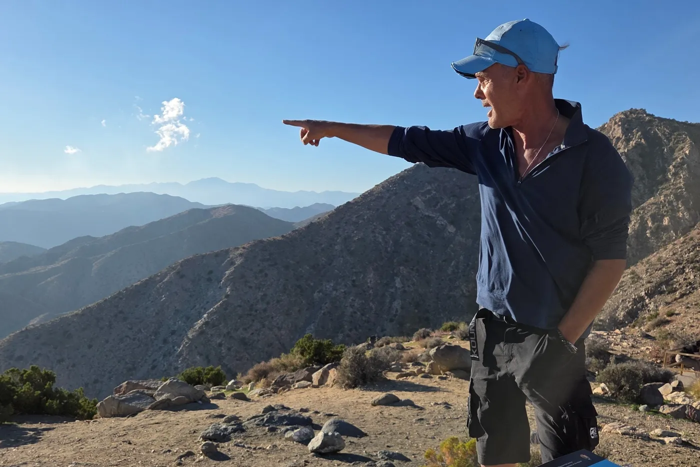
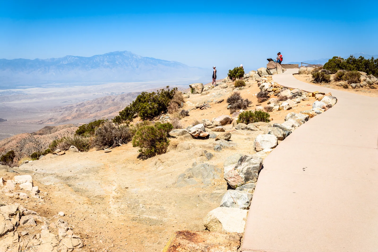
The end of Keys View Road, about 30 minutes' drive from Park Boulevard. A steep paved path 400 m (1,300 ft) long leads to a view of the San Andreas Fault, Mount San Jacinto, Mount San Gorgonio and the Salton Sea.
The widest view in the park, and the most honest one about the air in the Coachella Valley.
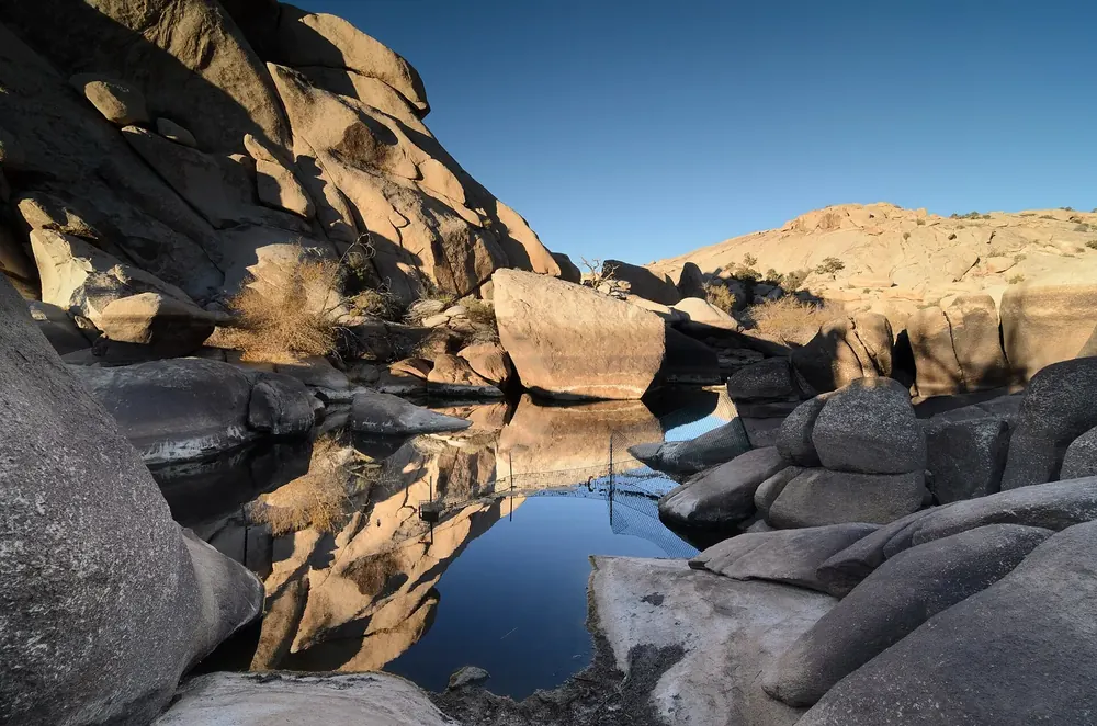
A valley ringed by granite walls on Park Boulevard, circled by a trail 1.6 km (1 mi) long. According to legend, cattle rustlers hid their stolen herds here.
A valley enclosed by granite walls, said to have served cattle rustlers as a hideout.
Mountains & rock · Rock formation on Park Boulevard
Skull Rock
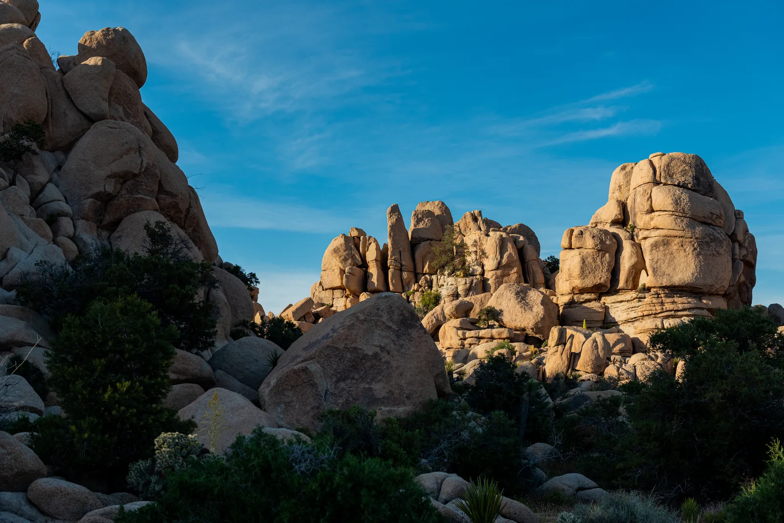
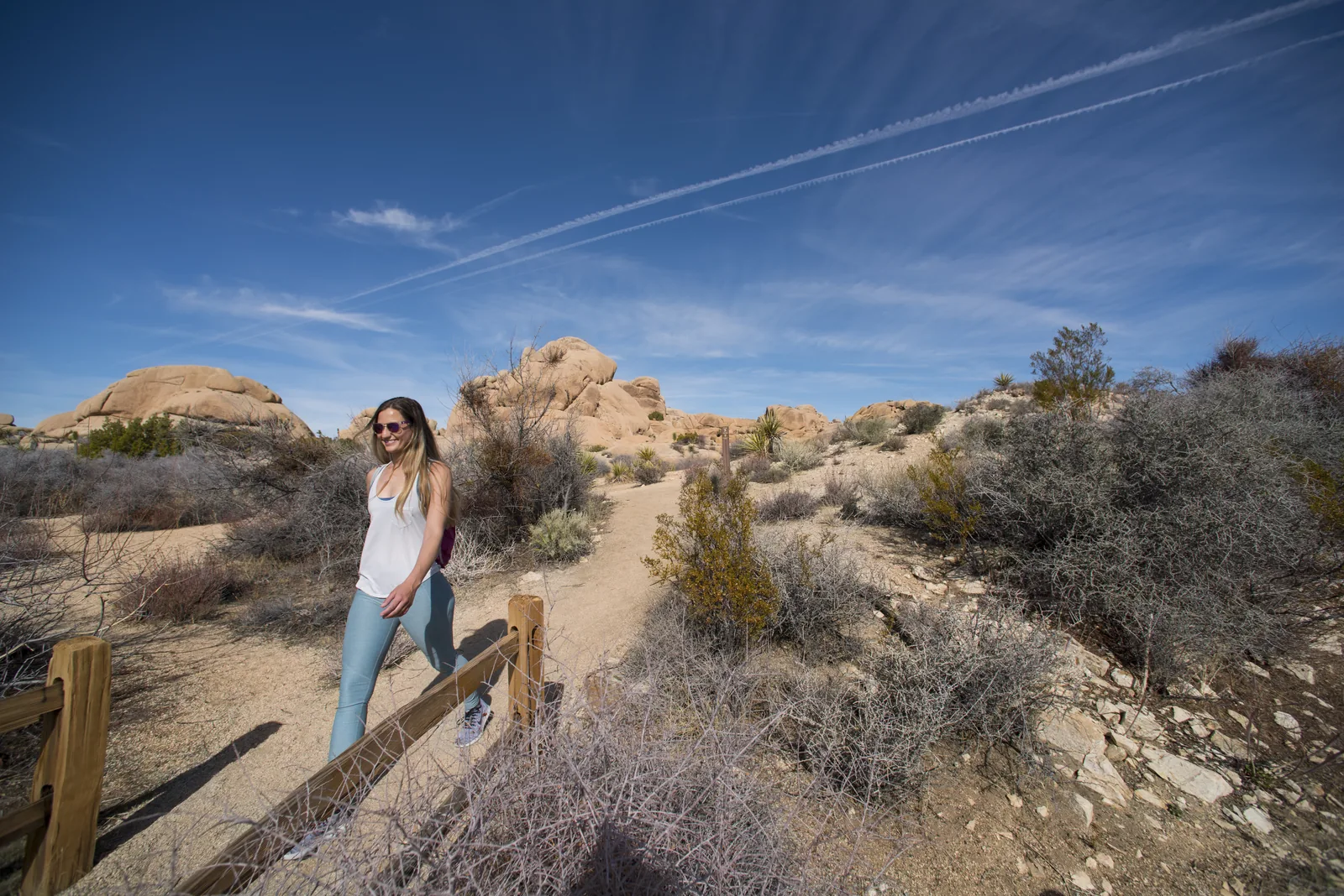
The park's best-known rock sits right beside the road east of Jumbo Rocks Campground. A loop trail 2.7 km (1.7 mi) long connects it with the surrounding boulders.
The park's best-known rock sits right by the road; the loop trail leads behind it.
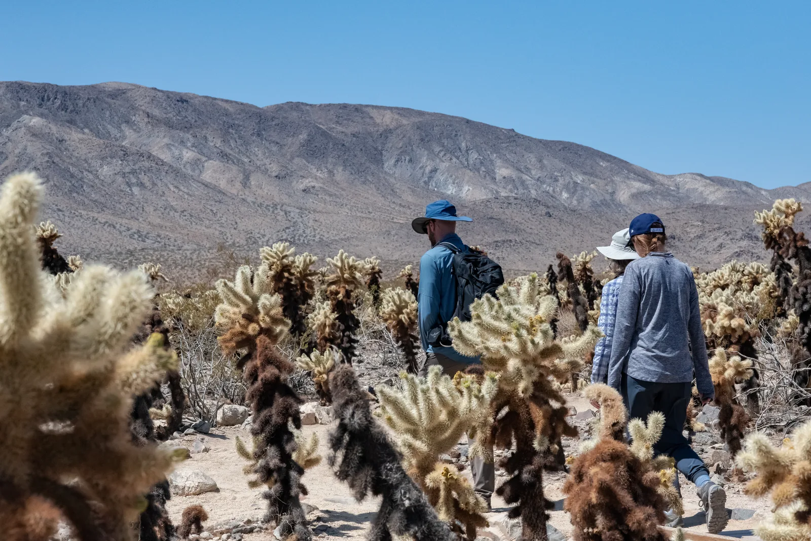
A 400-metre (0.25 mi) loop through thousands of densely packed teddybear cholla on Pinto Basin Road. Stay on the trail and wear closed shoes: the spines detach at the slightest touch.
A dense field of teddybear cholla where the park turns into the Colorado Desert.
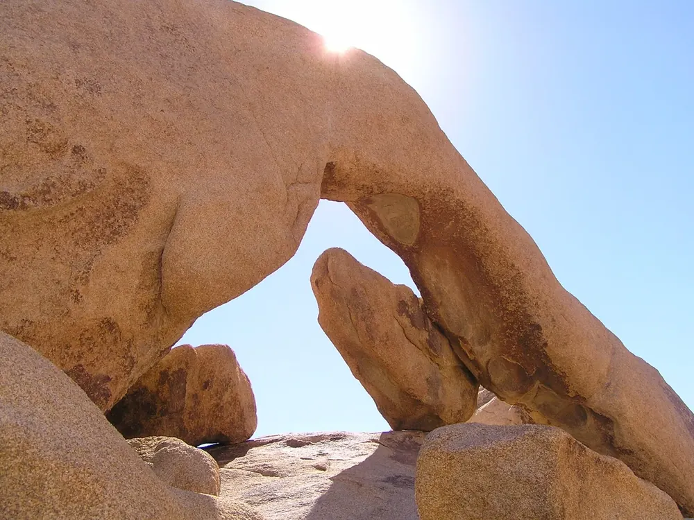
A granite arch off Pinto Basin Road, reached by a trail 2.1 km (1.3 mi) long from the Twin Tanks parking area. The arch is halfway around the small loop.
The park's most popular summit trail: 4.8 km (3 mi) return, 320 m (1,050 ft) of ascent, one and a half to two and a half hours. The trailhead parking lies between Sheep Pass and Ryan Campground.
The summit trail in the centre of the park: short, steep and with a panoramic view over the Mojave part.
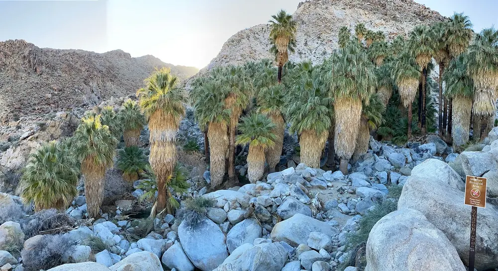
A Washingtonia fan palm oasis in a rocky canyon, reached by a 4.8 km (3 mi) return hike with 91 m (300 ft) of ascent. Closed in summer so bighorn sheep can reach the water undisturbed.
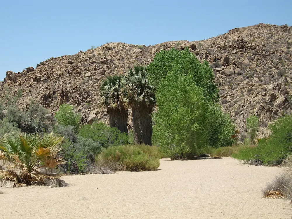
One and a half kilometres (1 mi) east of the Cottonwood Visitor Center. A ten-minute walk leads to fan palms and cottonwoods: one of the best places in the park for birdwatching, and one of the few with shade.
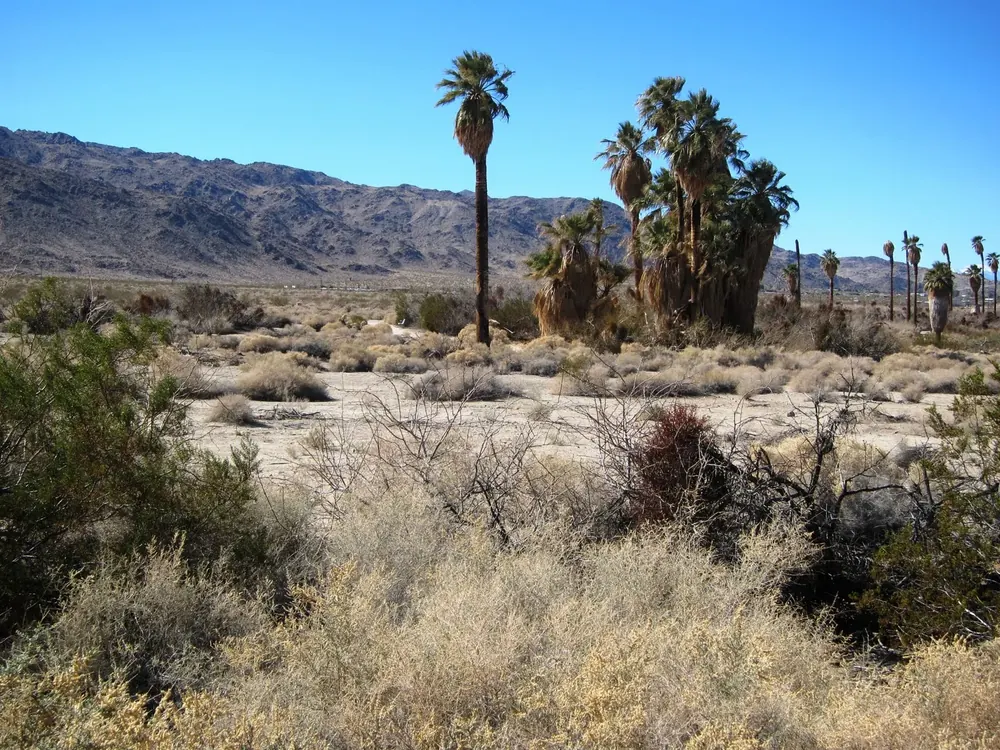
An 800-metre (0.5 mi) loop right next to the visitor centre in Twentynine Palms, where dogs on a lead are allowed. Beyond the oasis the trail is closed after a flood.