All places
Menors Ferry Historic District Ferry and settlers' cabins on the Snake River, right next to the Craig Thomas Discovery and Visitor Center at the Moose entrance in the south.
Add to your Grand Teton National Park visit Open in OpenStreetMap ↗ Location source ↗
43.65881, -110.71329
All places Photo: G. Edward Johnson ↗ · CC BY 3.0 ↗
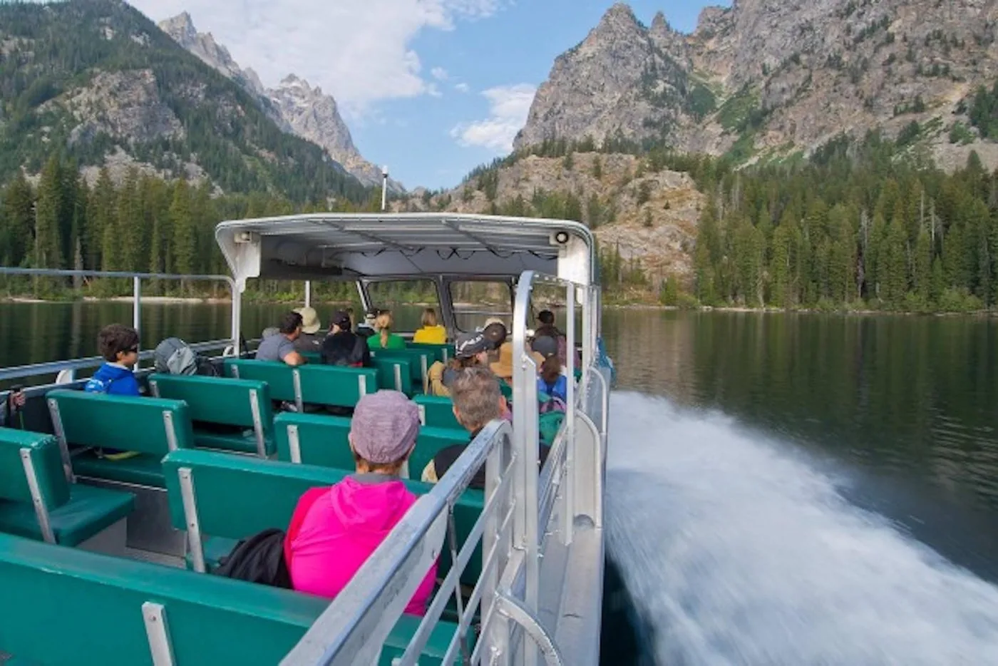
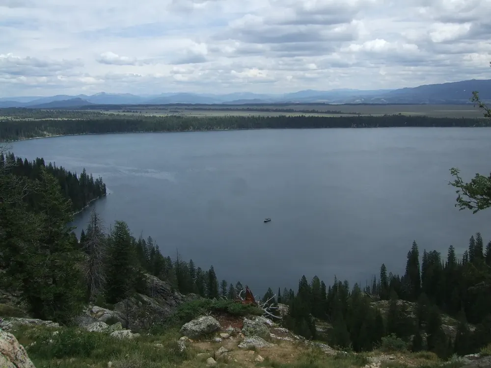
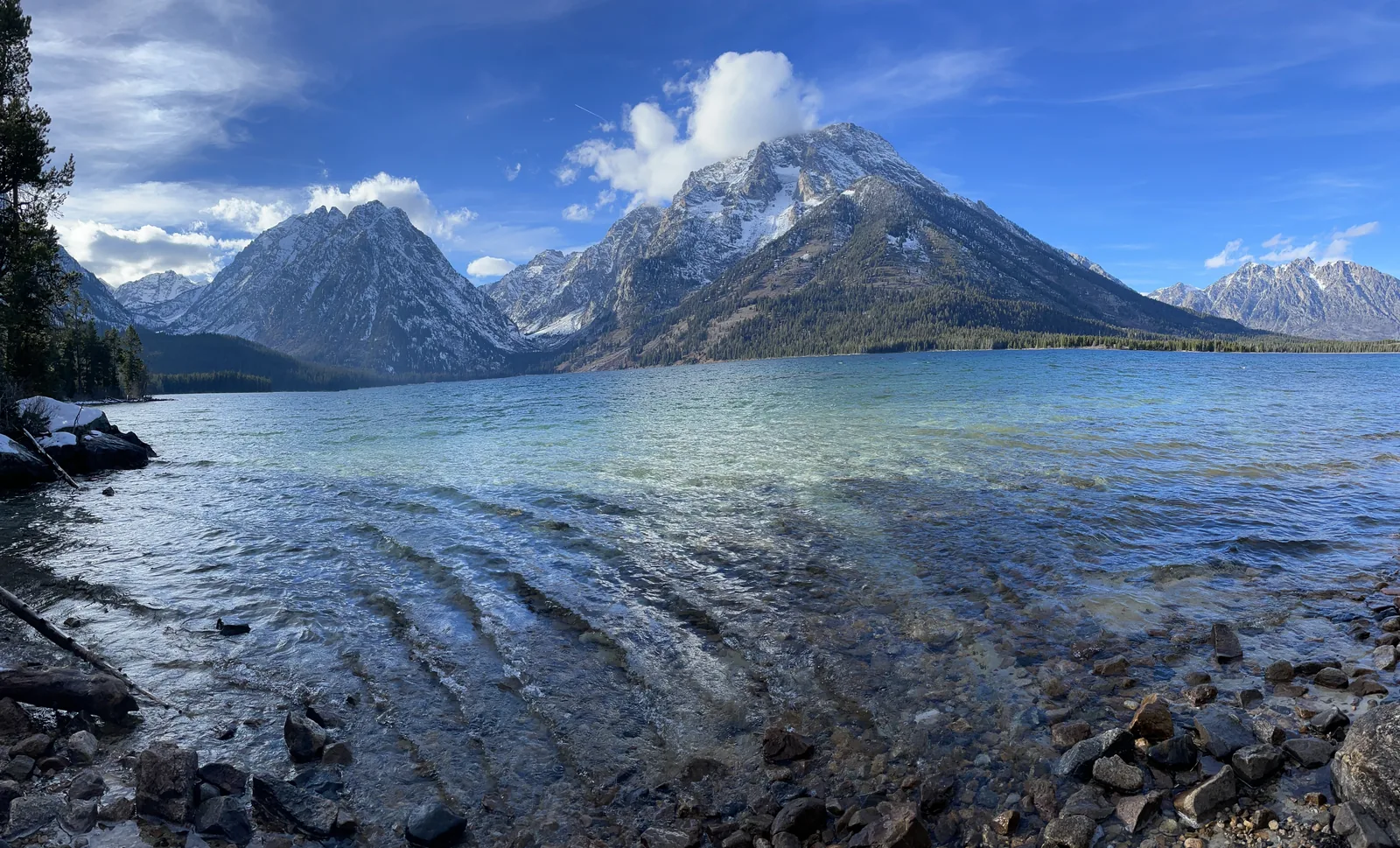
Jenny Lake The lake where the Teton Range rises straight out of the water. From here the boat shuttle runs to the start of Cascade Canyon.
The lake where the mountains rise straight out of the water.
Boat shuttle 15 May to 30 September
Start depends on the ice
Destinations Hidden Falls, Inspiration Point
Beyond Cascade Canyon Add to your Grand Teton National Park visit Open in OpenStreetMap ↗ Location source ↗
43.76355, -110.73078
All places Photo: The Dye Clan ↗ · CC BY-SA 3.0 ↗
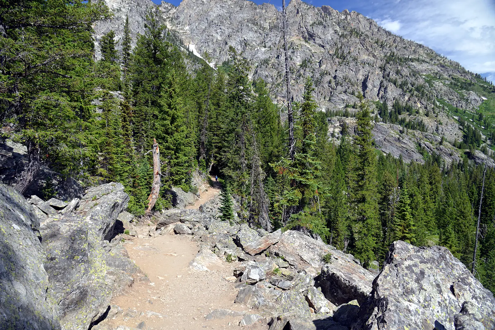
Jenny Lake Trailhead Starting point for Hidden Falls and Inspiration Point on the west side of the lake.
Add to your Grand Teton National Park visit Open in OpenStreetMap ↗ Location source ↗
43.76720, -110.74421
All places Photo: Eric Kilby ↗ · CC BY-SA 4.0 ↗
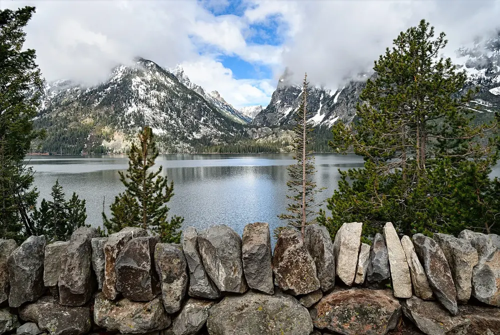
Jenny Lake Overlook View across the lake to the Cathedral Group on the Jenny Lake Scenic Loop.
Add to your Grand Teton National Park visit Open in OpenStreetMap ↗ Location source ↗
43.76812, -110.71779
All places Photo: National Park Service (NPS / Adams) ↗ · Public domain ↗
String Lake Trailhead A shallow lake between Jenny and Leigh Lake, relatively warm in summer. The car park fills early on summer days.
Shallow, relatively warm in summer, and so full early.
Location between Jenny and Leigh Lake
Canoe launch from 1 May or when the Teton Park Road opens
Until 31 October, winter closure of the road
Car park full early on summer days Add to your Grand Teton National Park visit Open in OpenStreetMap ↗ Location source ↗
43.78445, -110.72739
All places Photo: Cal Wolfe ↗ · CC BY-SA 3.0 ↗
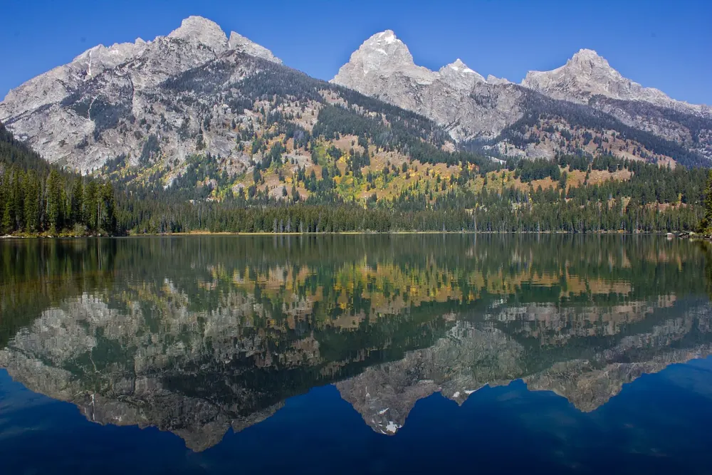
Taggart Lake Destination of one of the most popular short trails, dammed by a terminal moraine.
Add to your Grand Teton National Park visit Open in OpenStreetMap ↗ Location source ↗
43.70410, -110.75512
All places Photo: GrandTetonNPS ↗ · Public Domain ↗
Bradley-Taggart Trailhead Shared trailhead for Taggart and Bradley Lake on the Teton Park Road.
Add to your Grand Teton National Park visit Open in OpenStreetMap ↗ Location source ↗
43.69314, -110.73294
All places Photo: GrandTetonNPS ↗ · Public Domain ↗
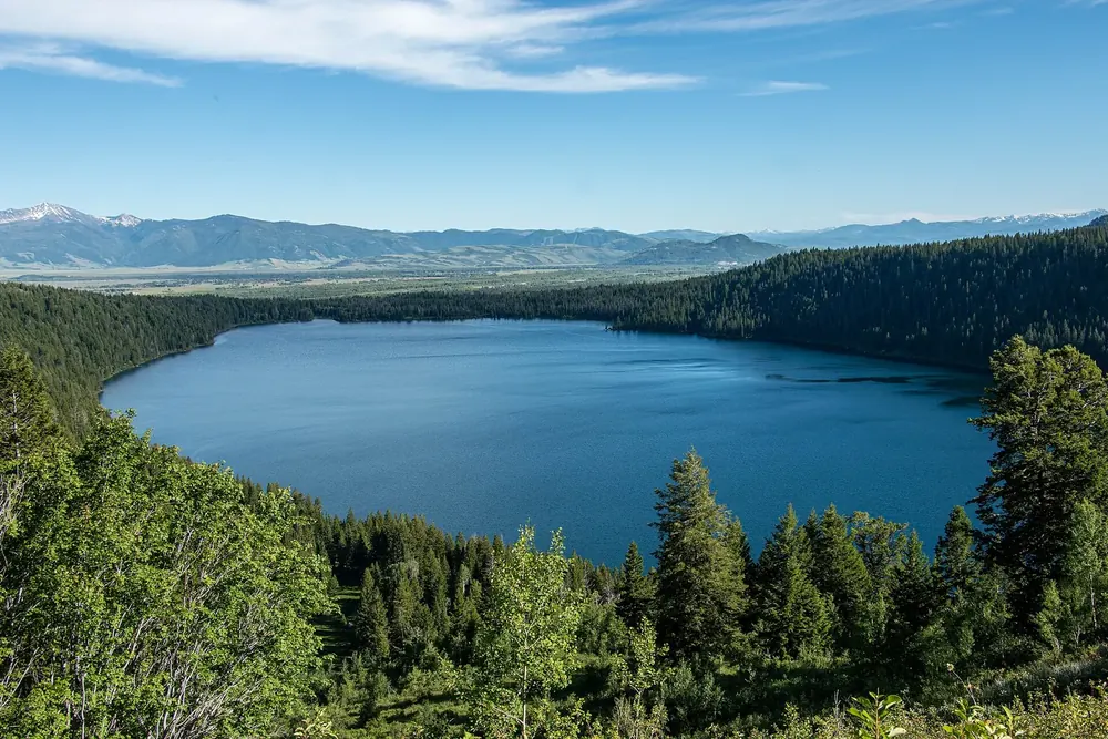
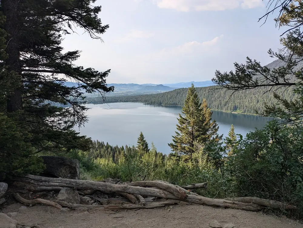
Phelps Lake Overlook View of Phelps Lake in the Laurance S. Rockefeller Preserve, the quietest part of the park.
Add to your Grand Teton National Park visit Open in OpenStreetMap ↗ Location source ↗
43.65713, -110.79916
All places Photo: Buidhe ↗ · CC BY-SA 4.0 ↗
Phelps Lake Reached through the Rockefeller Preserve on the Moose-Wilson Road; the number of parking spaces there is deliberately limited.
Add to your Grand Teton National Park visit Open in OpenStreetMap ↗ Location source ↗
43.64336, -110.79677
All places Photo: Hansueli Krapf ↗ · CC BY-SA 4.0 ↗
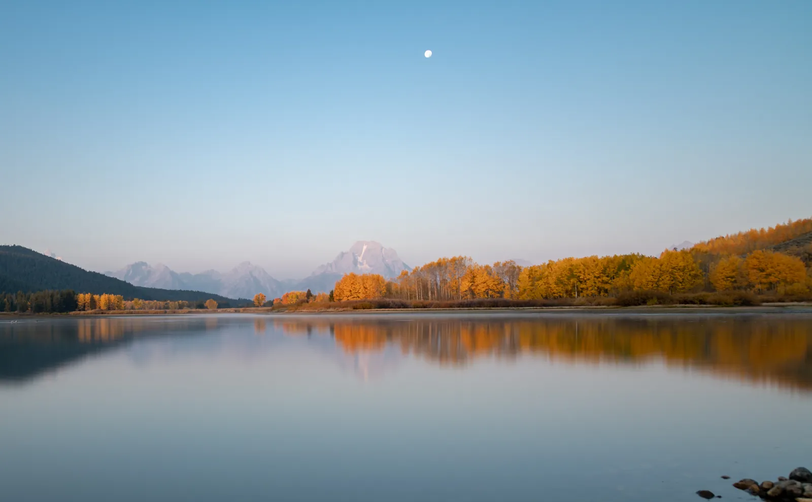
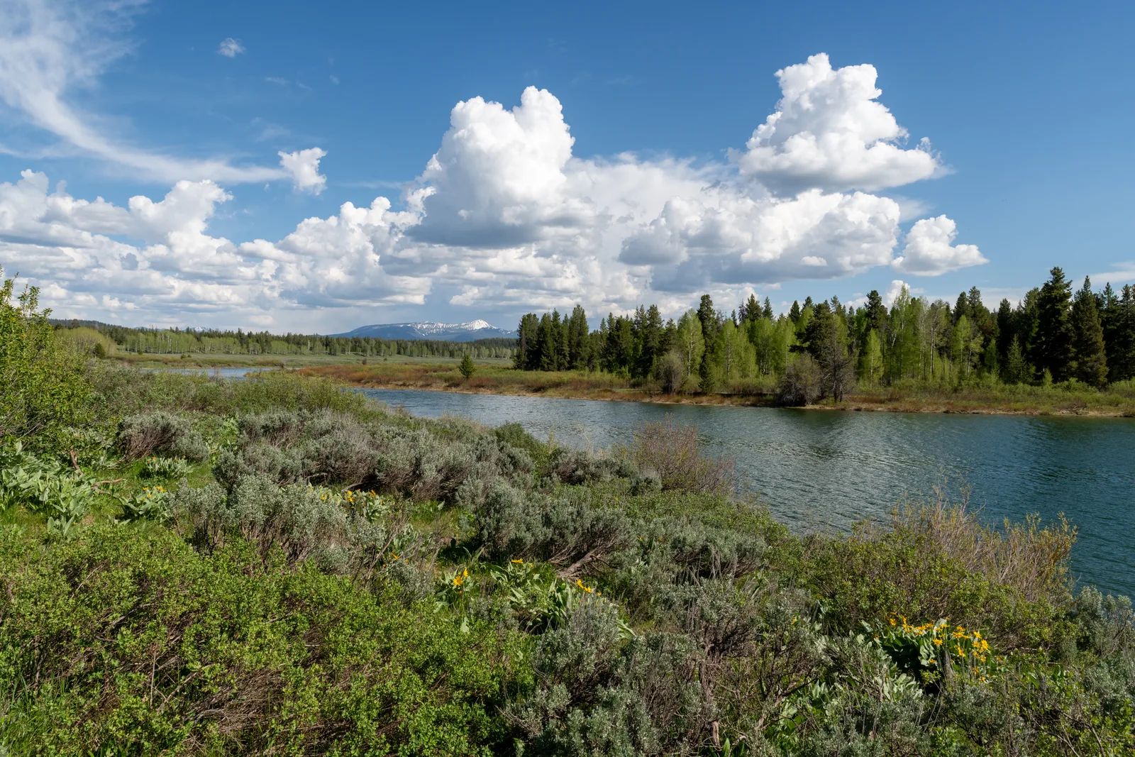
Oxbow Bend Overlook An oxbow of the Snake River with Mount Moran behind. The most photographed stop in the park, best early in the morning when there is no wind.
The most photographed stop in the park, and it only works early.
Location near Moran Junction
View Mount Moran above the oxbow
Best time sunrise with no wind
Wildlife beavers, ospreys, moose Add to your Grand Teton National Park visit Open in OpenStreetMap ↗ Location source ↗
43.86608, -110.54758
All places Photo: Cornflower123 ↗ · CC0 1.0 ↗
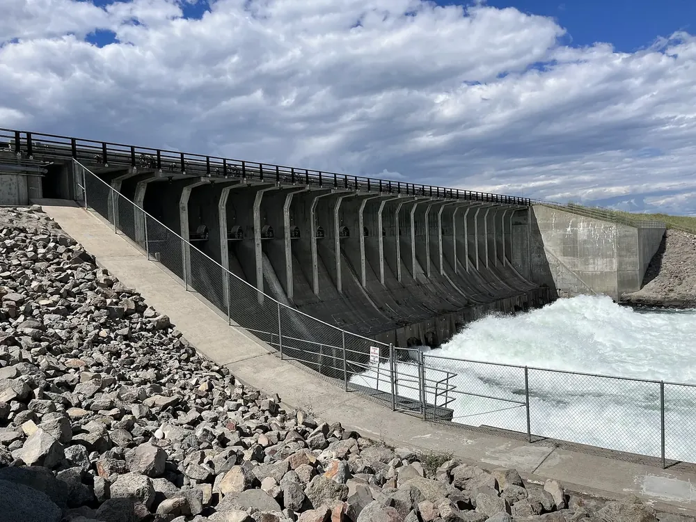
Jackson Lake Dam Jackson Lake is a natural lake whose level has been raised by a dam since 1911. There is also a boat launch onto the Snake River here.
Add to your Grand Teton National Park visit Open in OpenStreetMap ↗ Location source ↗
43.85727, -110.58939
All places Photo: Charles Nadeau from San Mateo, CA ↗ · CC BY 2.0 ↗
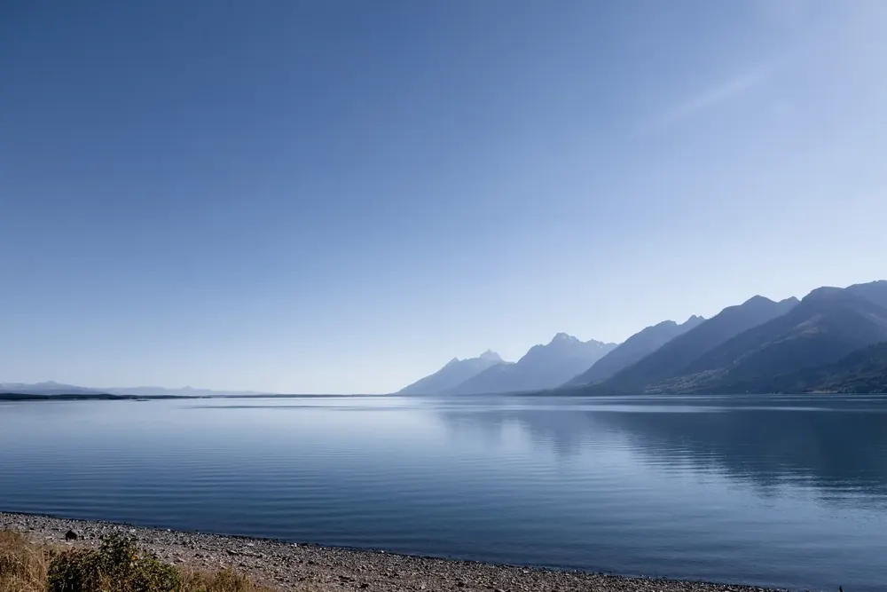
Jackson Lake Overlook View north across Jackson Lake, just before the transition to the Rockefeller Parkway to Yellowstone.
Add to your Grand Teton National Park visit Open in OpenStreetMap ↗ Location source ↗
43.98163, -110.66220
All places Photo: Vulturesong ↗ · CC0 ↗
Signal Mountain A spur road leads almost to the summit, the only point from which you can see the whole of the Jackson Hole valley. At its foot are a lodge, a shop and a fuel station.
The big lake in the north, and the only mountain with a road to the top.
Signal Mountain 2,354 m (7,723 ft)
Access spur road, seasonal
At the foot lodge, shop, fuel station
Jackson Lake natural, dammed since 1911 Add to your Grand Teton National Park visit Open in OpenStreetMap ↗ Location source ↗
43.84883, -110.56715
All places Photo: Eric Kilby ↗ · CC BY-SA 4.0 ↗
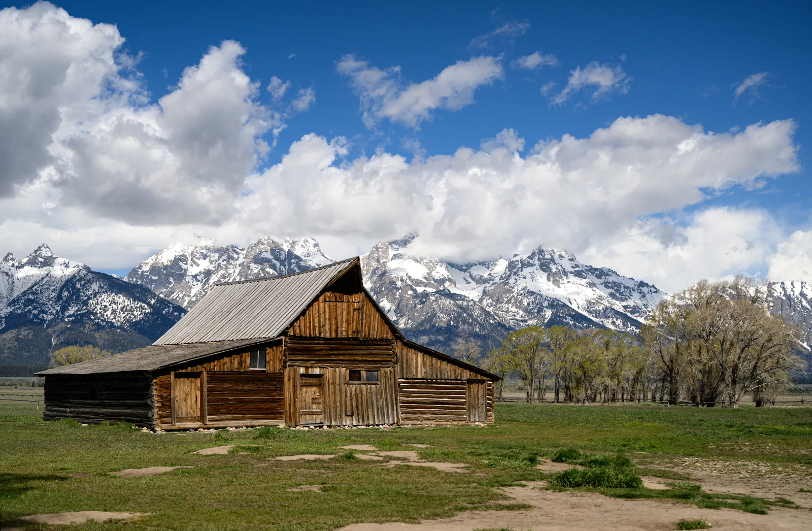
Mormon Row Viewpoint The barns of Mormon settlers in front of the mountain range. The Moulton Barn is considered one of the most photographed buildings in the United States.
A barn in front of a mountain range, and one of the most photographed buildings in the United States.
What settlement site of Mormon families
Best known Moulton Barn
Location Antelope Flats, east of the main road
Best time sunrise Add to your Grand Teton National Park visit Open in OpenStreetMap ↗ Location source ↗
43.67246, -110.66453
All places Photo: Andrew Parlette from Elkridge,MD, US ↗ · CC BY 2.0 ↗
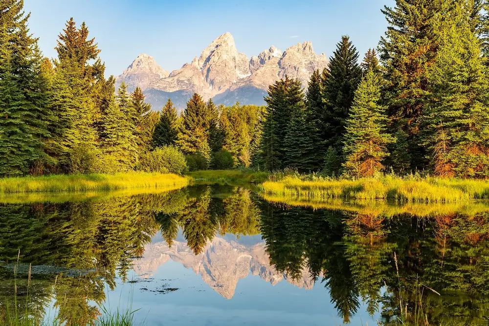
Schwabacher Landing Trailhead A quiet side channel of the Snake River with beaver dams; on a still day the whole range is reflected in the water.
Add to your Grand Teton National Park visit Open in OpenStreetMap ↗ Location source ↗
43.71151, -110.67059
All places Photo: Victoria Dihua Xue applexue ↗ · CC0 1.0 ↗
Grand Teton The park's namesake. The ascent is an alpine climb that needs a permit, not a hike.
Add to your Grand Teton National Park visit Open in OpenStreetMap ↗ Location source ↗
43.74104, -110.80244
All places Photo: Carsten Steger ↗ · CC BY-SA 4.0 ↗
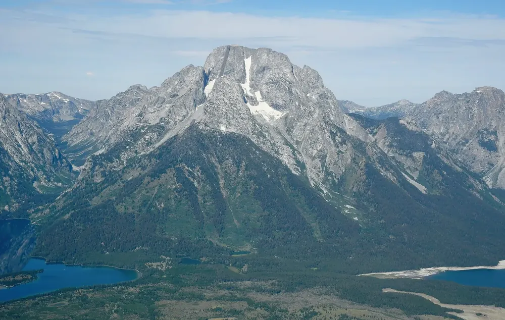
Mount Moran In the north, with five glaciers and a black diabase dike in its face that is 45 metres (148 ft) wide.
Add to your Grand Teton National Park visit Open in OpenStreetMap ↗ Location source ↗
43.83521, -110.77632
All places Photo: Acroterion ↗ · CC BY-SA 4.0 ↗
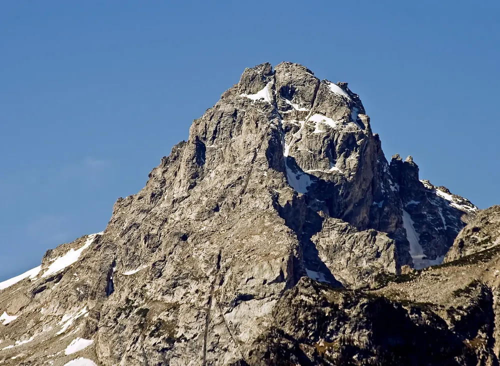
Middle Teton Also carries a clearly visible black dike, which you can see from the Teton Park Road.
Add to your Grand Teton National Park visit Open in OpenStreetMap ↗ Location source ↗
43.72993, -110.81133