All places Photo: Grand Canyon National Park ↗ · CC BY 2.0 ↗
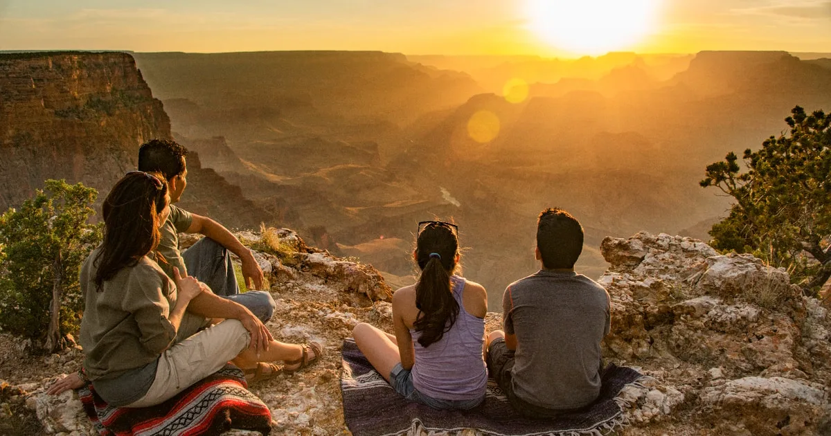
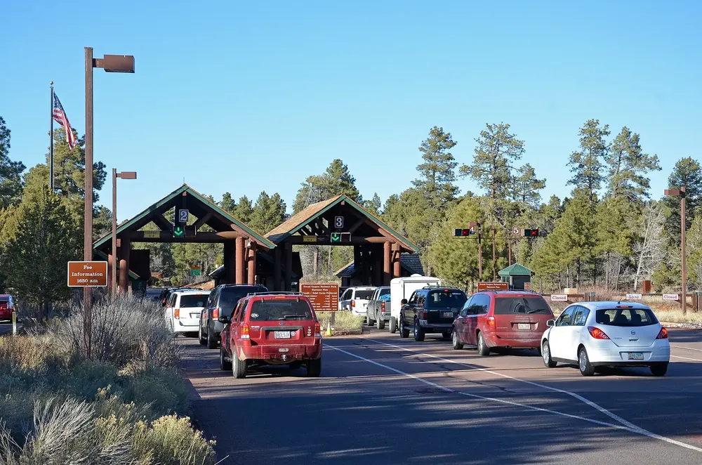
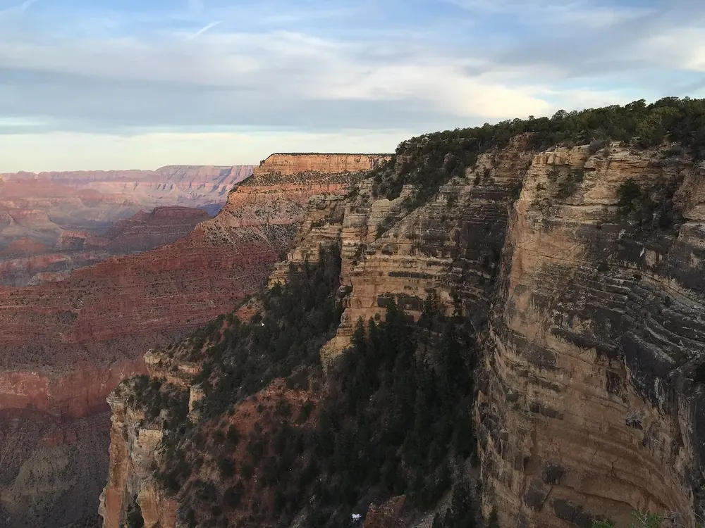
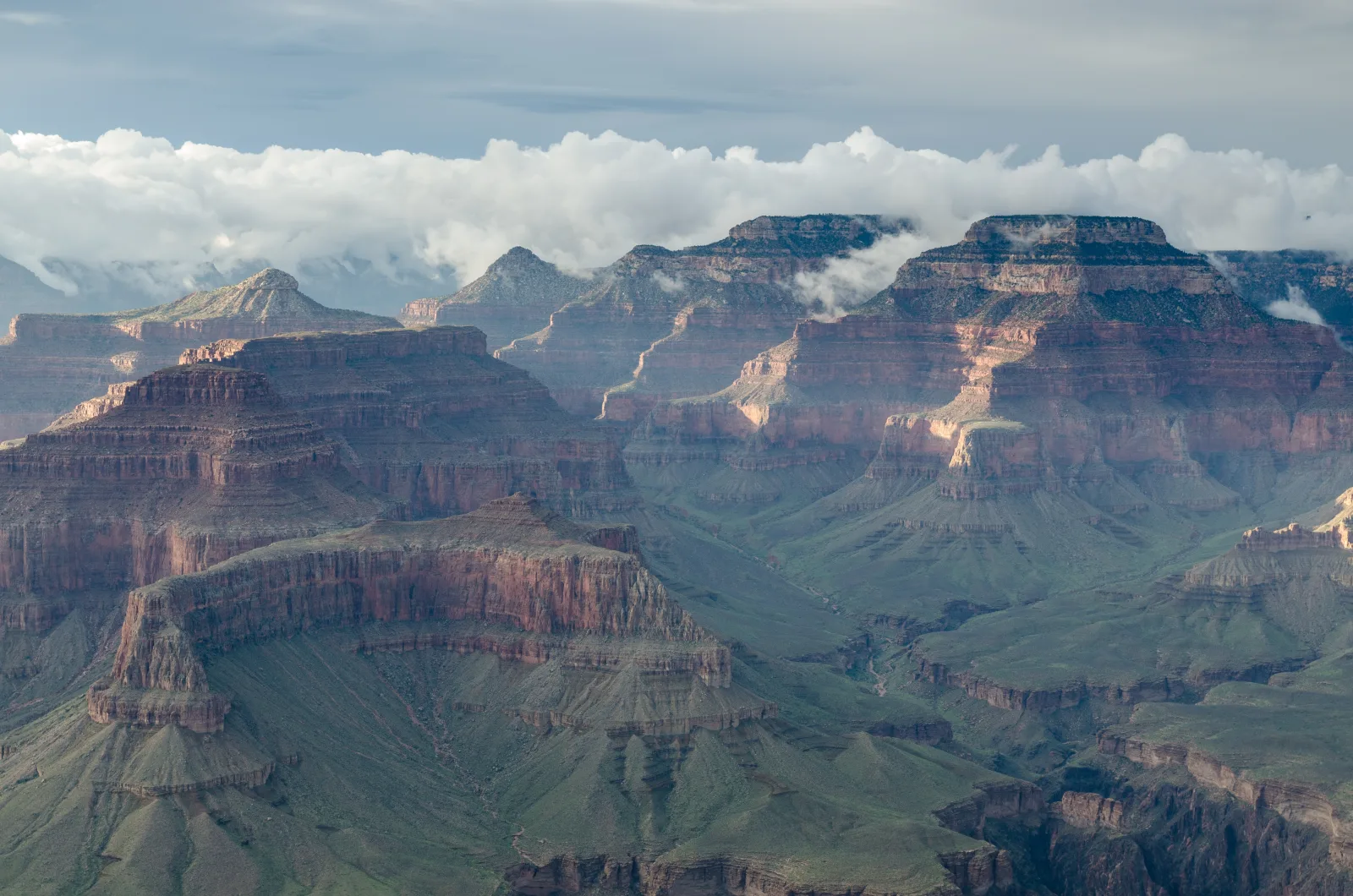
South Entrance Station Entrance on Highway 64 north of Tusayan. Open 24 hours a day, all year. Payment by card only. At peak times, this is where the park's longest queue forms.
Add to your Grand Canyon visit Open in OpenStreetMap ↗ Location source ↗
36.00007, -112.12145
All places Photo: DXR ↗ · CC BY-SA 4.0 ↗
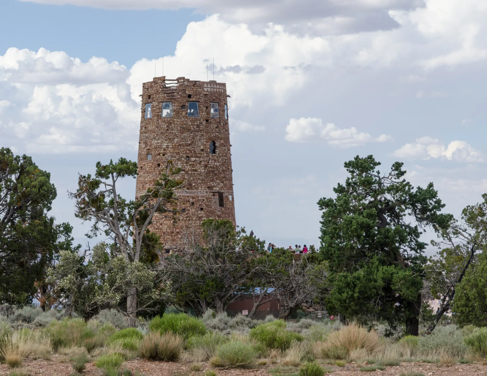
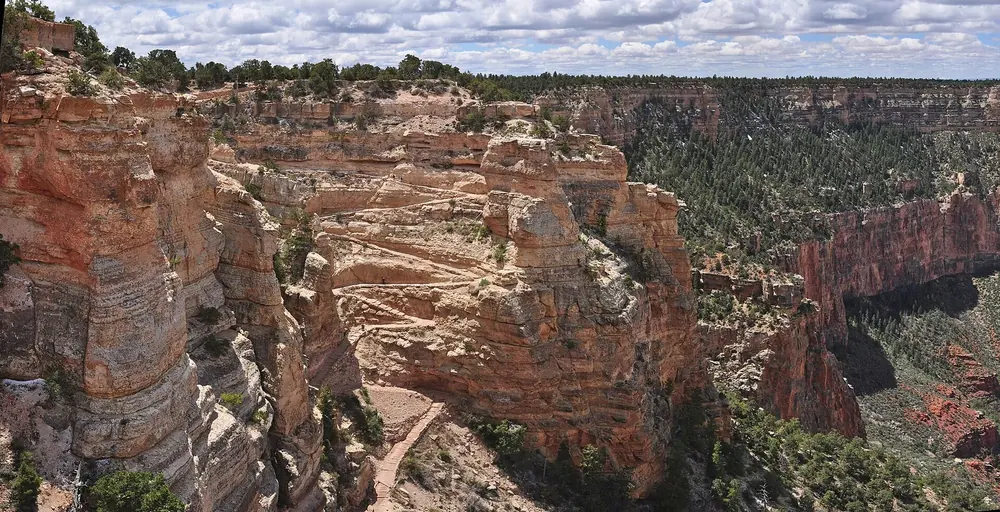
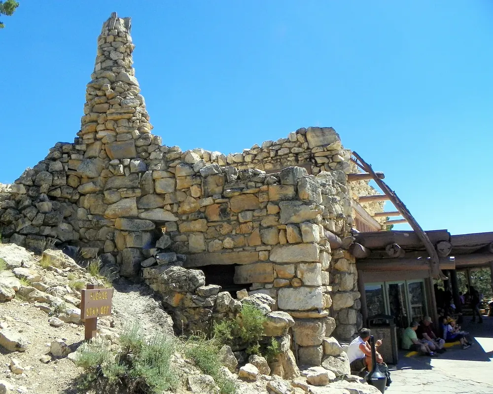
Desert View Watchtower The East Entrance at Desert View, 40 km (25 mi) east of the village. A tower designed by Mary Colter in 1932 above the eastern canyon. Open all year and usually much quieter than the South Entrance.
Mary Colter's 1932 tower at the East Entrance, 40 km (25 mi) east of the village.
Coordinates 36.044011, −111.826206
Built 1932, designed by Mary Colter
Entrance East Entrance, open all year
Advantage usually a much shorter wait than at the South Entrance Guided from here · Ad
Partner links: we may earn a commission if you book. Dates and prices with the provider.
Add to your Grand Canyon visit Open in OpenStreetMap ↗ Location source ↗
36.04401, -111.82621
All places Photo: Grand Canyon National Park ↗ · Public Domain ↗
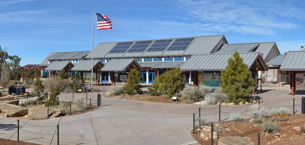
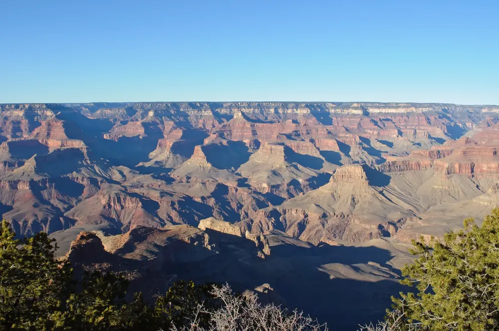
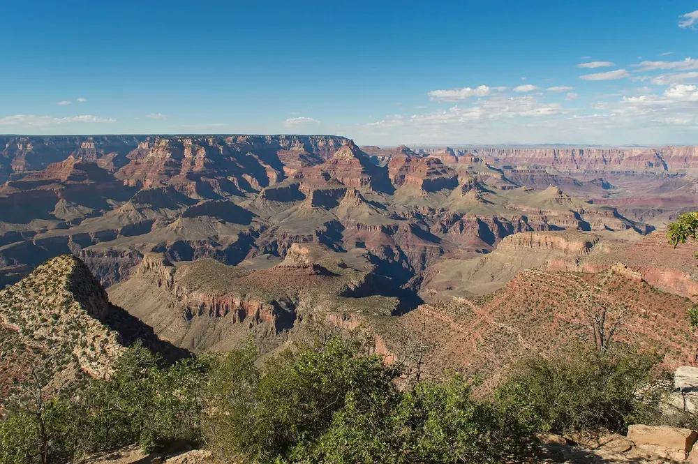
Grand Canyon Visitor Center The main visitor centre on the South Rim, starting point of the shuttle routes and a few minutes' walk from Mather Point.
Guided from here
Park authority programmes, no partner links. Dates on their website.
Add to your Grand Canyon visit Open in OpenStreetMap ↗ Location source ↗
36.05912, -112.10934
All places Photo: Bigmacthealmanac ↗ · CC BY 4.0 ↗
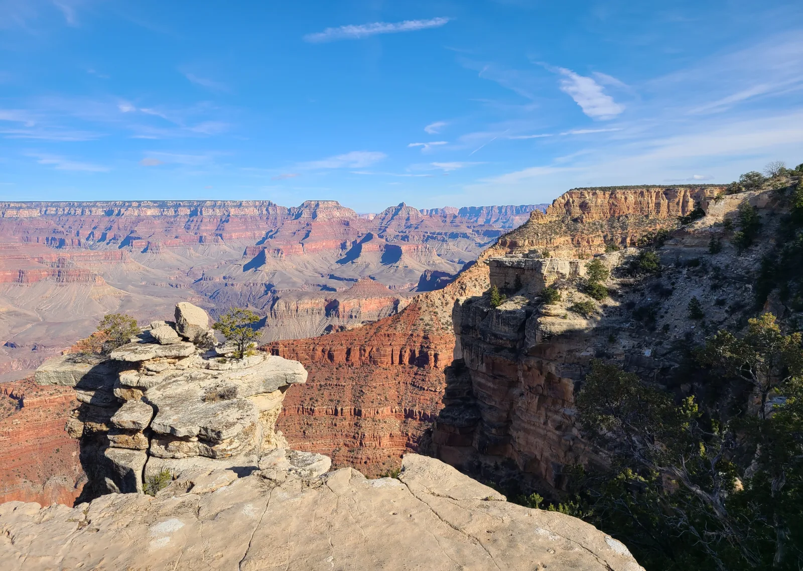
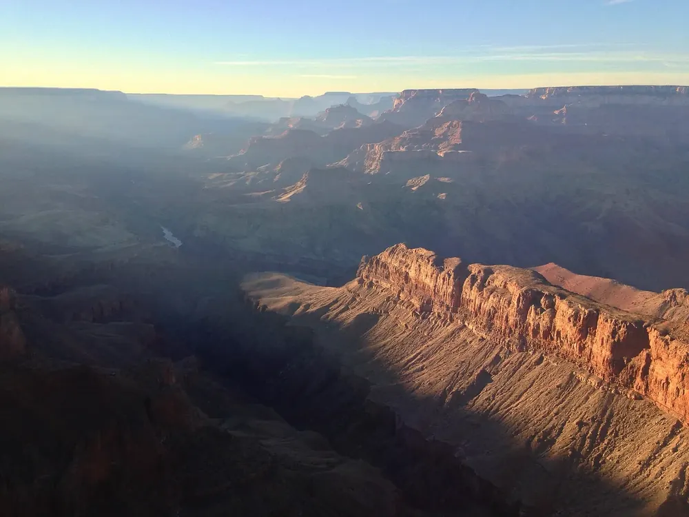
Mather Point The first view for most visitors, right behind the visitor centre and reached by a paved path.
The first view for most visitors, a few steps behind the visitor centre.
Coordinates 36.061650, −112.107946
Access paved path from the visitor centre
Shuttle Village and Kaibab Routes
Open all year, around the clock Add to your Grand Canyon visit Open in OpenStreetMap ↗ Location source ↗
36.06165, -112.10795
All places Photo: Famartin ↗ · CC BY-SA 4.0 ↗
Yavapai Point Viewpoint with the Yavapai Geology Museum. From here you can see the Colorado River far below, which is not possible from many other places.
Add to your Grand Canyon visit Open in OpenStreetMap ↗ Location source ↗
36.06596, -112.11680
All places Photo: Fredlyfish4 ↗ · CC BY-SA 3.0 ↗
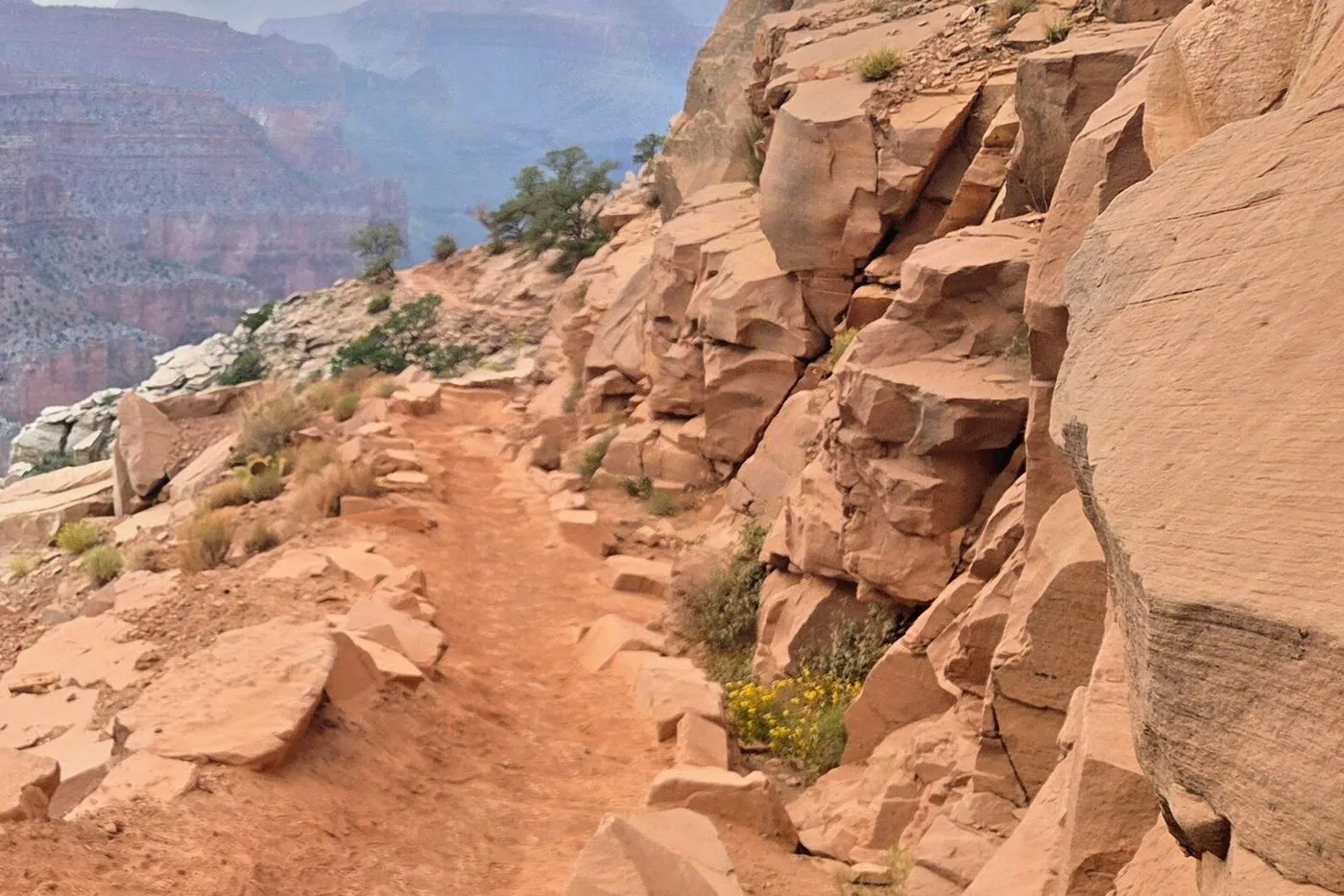
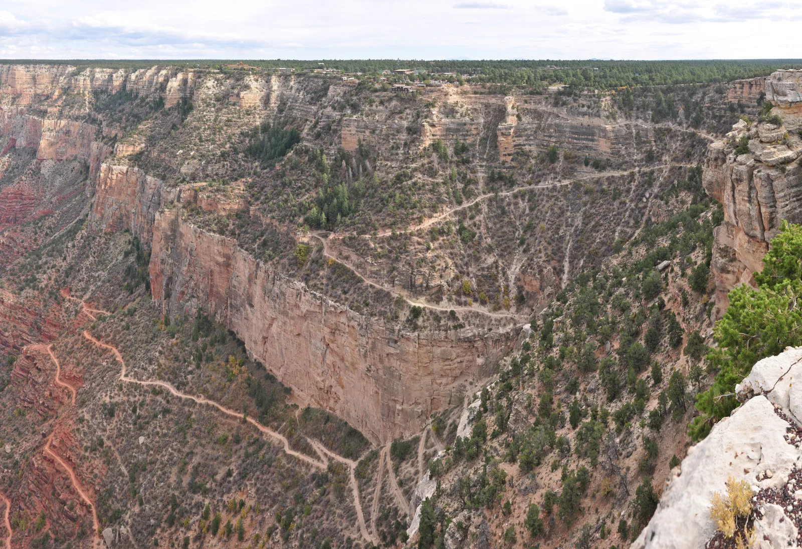
Bright Angel Trailhead Start of the best-known trail into the canyon, at the western edge of Grand Canyon Village. The descent is the easy part; the way back takes about twice as long.
Add to your Grand Canyon visit Open in OpenStreetMap ↗ Location source ↗
36.05728, -112.14363
All places Photo: Grand Canyon National Park ↗ · CC BY 2.0 ↗
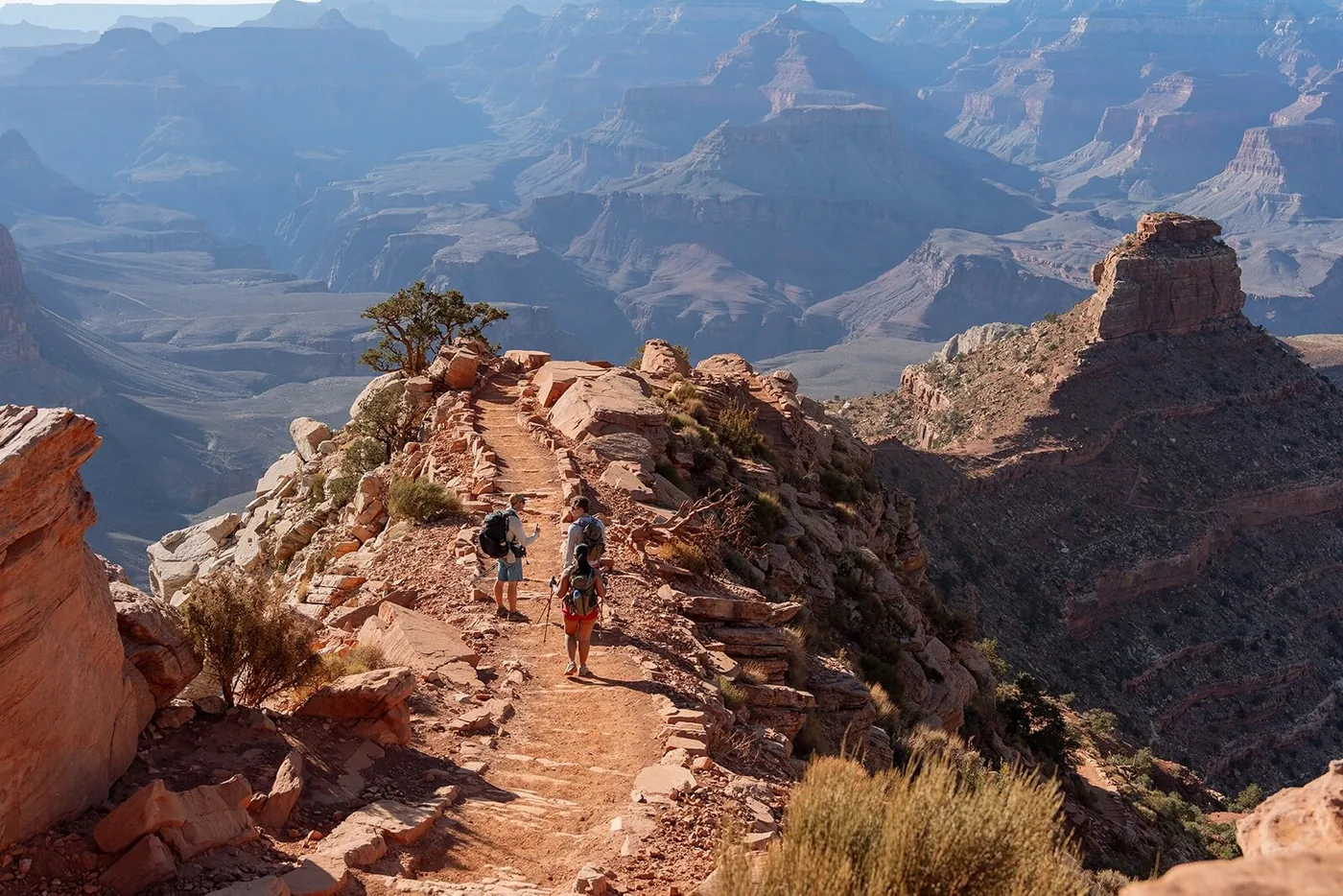
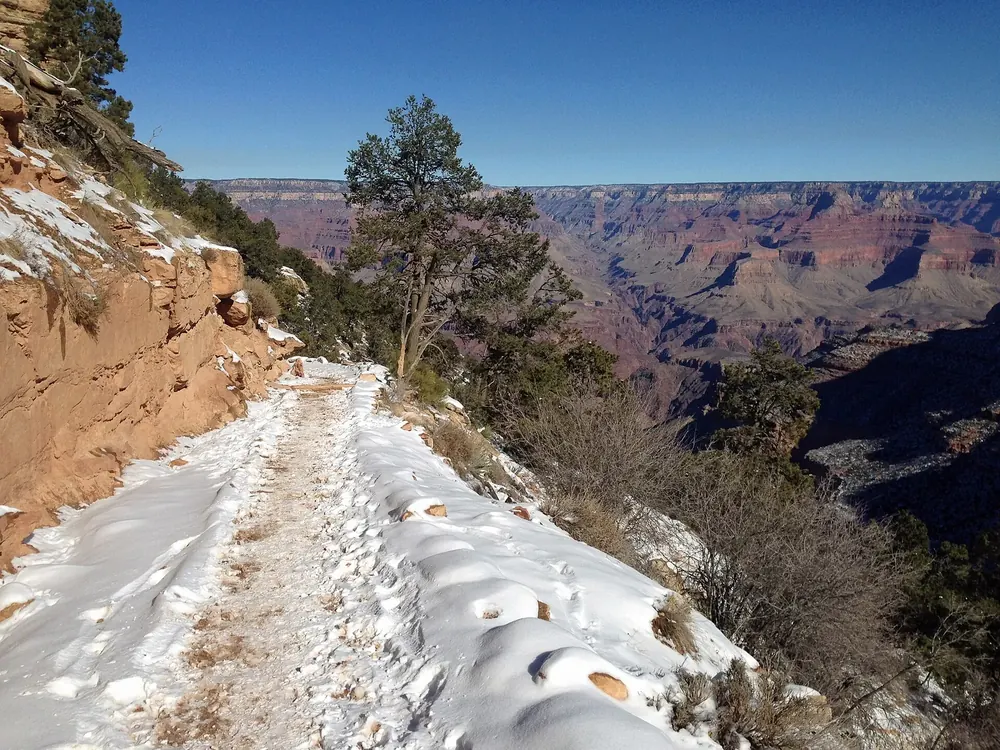
South Kaibab Trailhead Reachable by shuttle only, no parking. The trail follows a ridge with wide views, but has no shade and no water along the way.
Guided from here · Ad
Partner links: we may earn a commission if you book. Dates and prices with the provider.
Add to your Grand Canyon visit Open in OpenStreetMap ↗ Location source ↗
36.05296, -112.08387
All places Photo: InSapphoWeTrust from Los Angeles, California, USA ↗ · CC BY-SA 2.0 ↗
Yaki Point Viewpoint at the eastern end of the Kaibab Route, closed to private cars all year and reachable only by shuttle or on foot.
Add to your Grand Canyon visit Open in OpenStreetMap ↗ Location source ↗
36.05859, -112.08378
All places Photo: Tuxyso ↗ · CC BY-SA 3.0 ↗
Hopi Point A point jutting far into the canyon on Hermit Road, popular at sunset. From March to November reachable by shuttle only.
A point jutting far out on Hermit Road, popular at sunset.
Coordinates 36.074522, −112.154885
Access March to November by shuttle only
Route Hermits Rest (red)
Special feature views to both sides of the canyon Guided from here · Ad
Partner links: we may earn a commission if you book. Dates and prices with the provider.
Add to your Grand Canyon visit Open in OpenStreetMap ↗ Location source ↗
36.07452, -112.15488
All places Photo: Kevin A. Trostle ↗ · CC BY-SA 3.0 ↗
Hermits Rest Historic rest house by Mary Colter at the western end of the eleven-kilometre (seven-mile) Hermit Road, the last stop on the red shuttle route.
Add to your Grand Canyon visit Open in OpenStreetMap ↗ Location source ↗
36.06251, -112.21016
All places Photo: Supercarwaar ↗ · CC BY-SA 4.0 ↗
Grandview Point Viewpoint on Desert View Drive, reachable in your own car and far less visited than the points near the village.
Add to your Grand Canyon visit Open in OpenStreetMap ↗ Location source ↗
35.99848, -111.98776
All places Photo: Akos Kokai ↗ · CC BY 2.0 ↗
Lipan Point One of the widest views of the Colorado River and its rapids, just before Desert View.
Add to your Grand Canyon visit Open in OpenStreetMap ↗ Location source ↗
36.03303, -111.85318
All places Photo: Grand Canyon National Park ↗ · CC BY 2.0 ↗
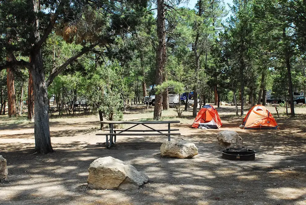
Mather Campground The large campground in the village. The park explicitly recommends reserving through recreation.gov.
Add to your Grand Canyon visit Open in OpenStreetMap ↗ Location source ↗
36.04884, -112.11715
All places
North Rim Entrance Station Entrance on Highway 67 south of Jacob Lake. The North Rim is only open seasonally; in 2026 since 15 May.
Add to your Grand Canyon visit Open in OpenStreetMap ↗ Location source ↗
36.33486, -112.11639
All places Photo: Grand Canyon National Park ↗ · Public domain ↗
Bright Angel Point The classic viewpoint on the North Rim. The trail to it is closed in 2026; check the latest on the park's status page before you go.
The best-known trail into the canyon, switchbacking down from the western edge of the village.
Trailhead coordinates 36.057282, −112.143631
Location western edge of Grand Canyon Village
Along the way rest houses with water in season
Way back about twice as long as the descent
To the river and back in one day explicitly advised against by the park Add to your Grand Canyon visit Open in OpenStreetMap ↗ Location source ↗
36.19351, -112.04866
All places Photo: Miguel Hermoso Cuesta ↗ · CC BY-SA 3.0 ↗
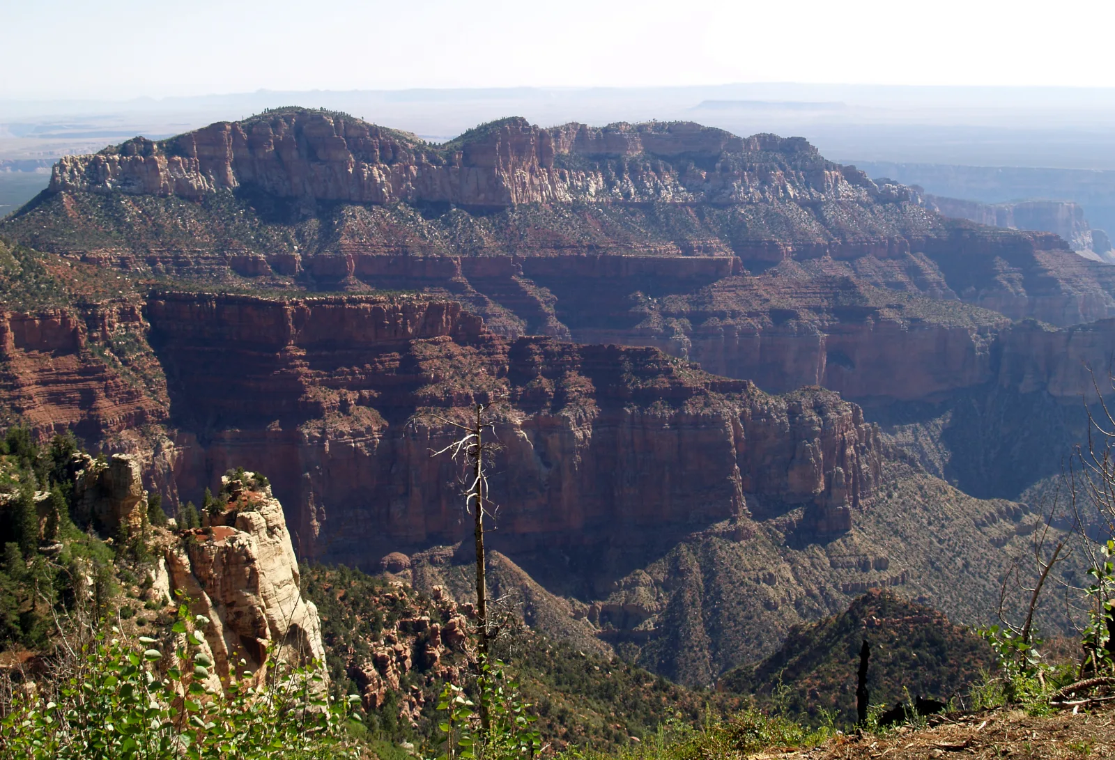
Point Imperial At 2,683 m (8,803 ft), the highest viewpoint on either rim, looking northeast over the Marble Platform. The short trail is open in 2026.
At 2,683 m (8,803 ft), the highest viewpoint on either rim, and open on the North Rim in 2026.
Coordinates 36.278986, −111.977387
Altitude 2,683 m (8,803 ft)
View northeast over the Marble Platform
Trail Point Imperial Trail, open in 2026
Season in 2026 since 15 May Add to your Grand Canyon visit Open in OpenStreetMap ↗ Location source ↗
36.27899, -111.97739
All places Photo: Grand Canyon National Park ↗ · Public Domain ↗
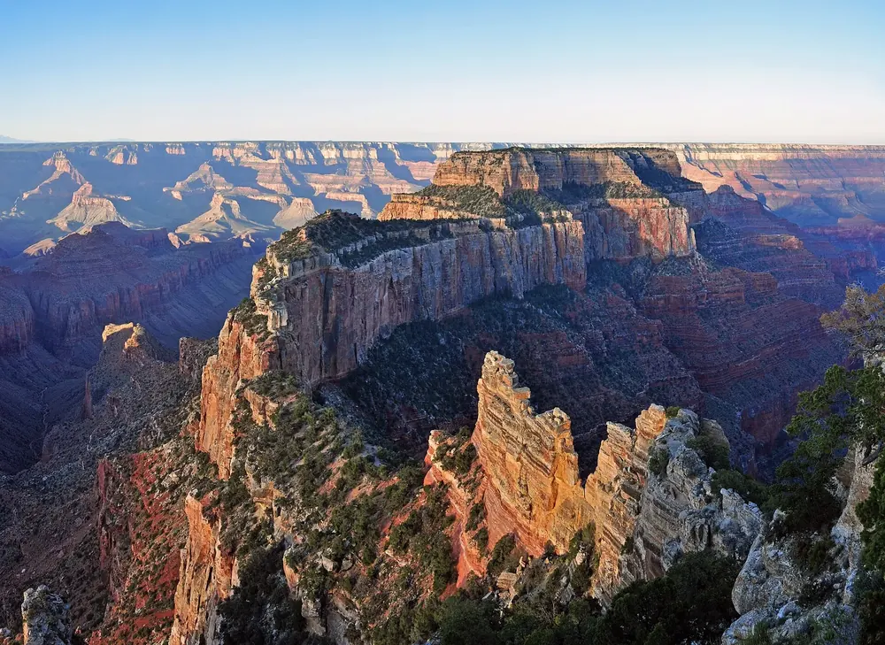
Cape Royal The southernmost point of the North Rim, with a view across the full width of the canyon. Trail and road are open in 2026.
Add to your Grand Canyon visit Open in OpenStreetMap ↗ Location source ↗
36.11722, -111.94879
All places Photo: brewbooks from near Seattle, USA ↗ · CC BY-SA 2.0 ↗
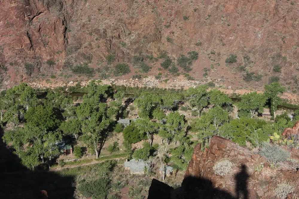
Phantom Ranch The historic lodge at the bottom of the canyon, otherwise reachable only on foot, by mule or by boat. Closed in 2026.
Add to your Grand Canyon visit Open in OpenStreetMap ↗ Location source ↗
36.10437, -112.09481