Ranger programme · summer · Glacier park authority (National Park Service)
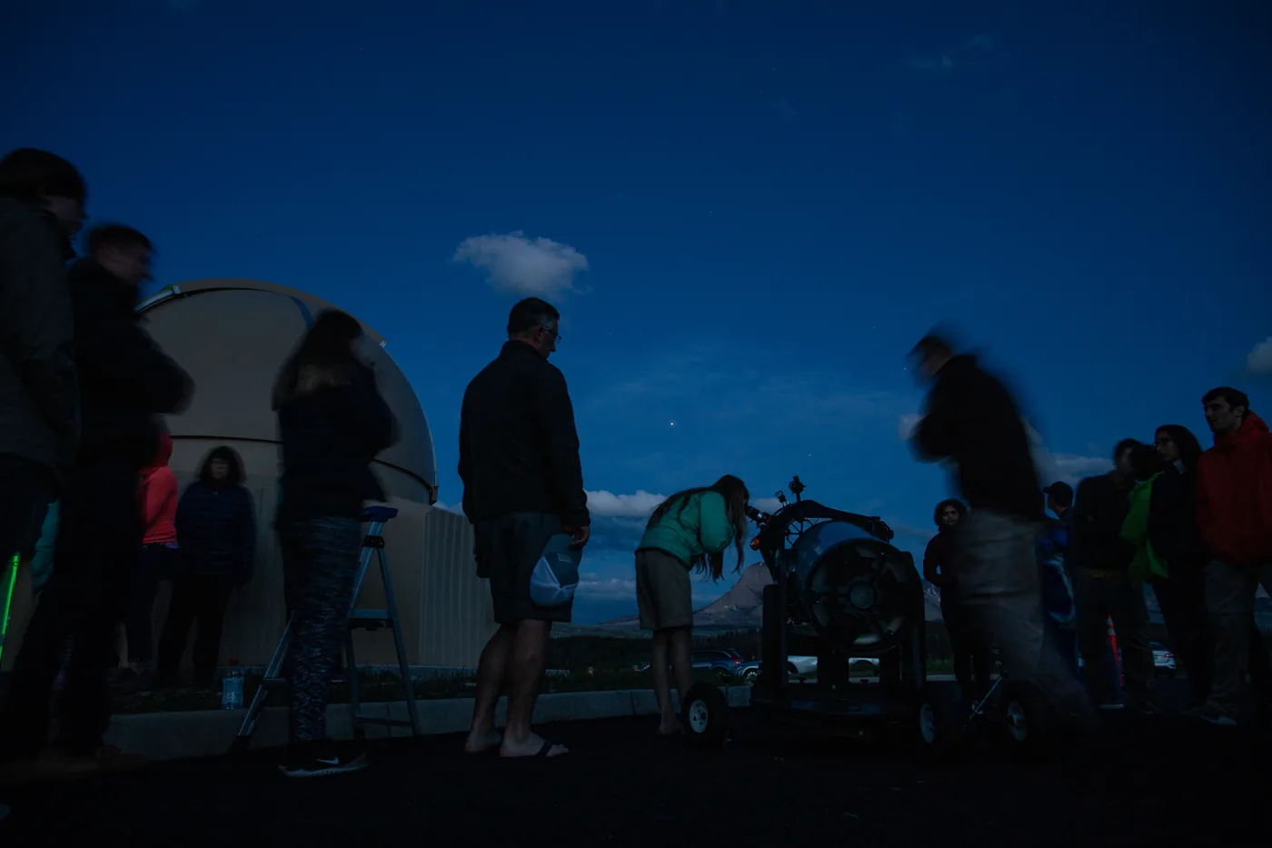
Ranger evening and night-sky programmes ↗Apgar Visitor Center (west side) or the Dusty Star Observatory at the St. Mary Visitor Center (east side); evening programmes in the campground amphitheatres.
Ad · partner links: we may earn a commission if you book. Offer details checked 2 Oct 2026; dates and prices with the provider.
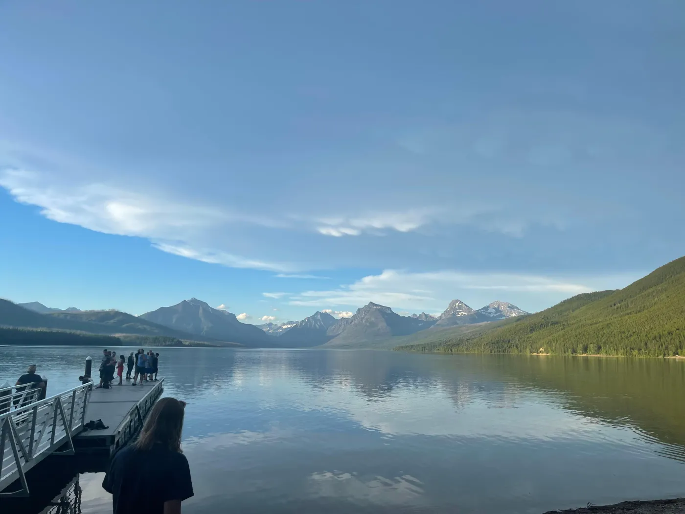
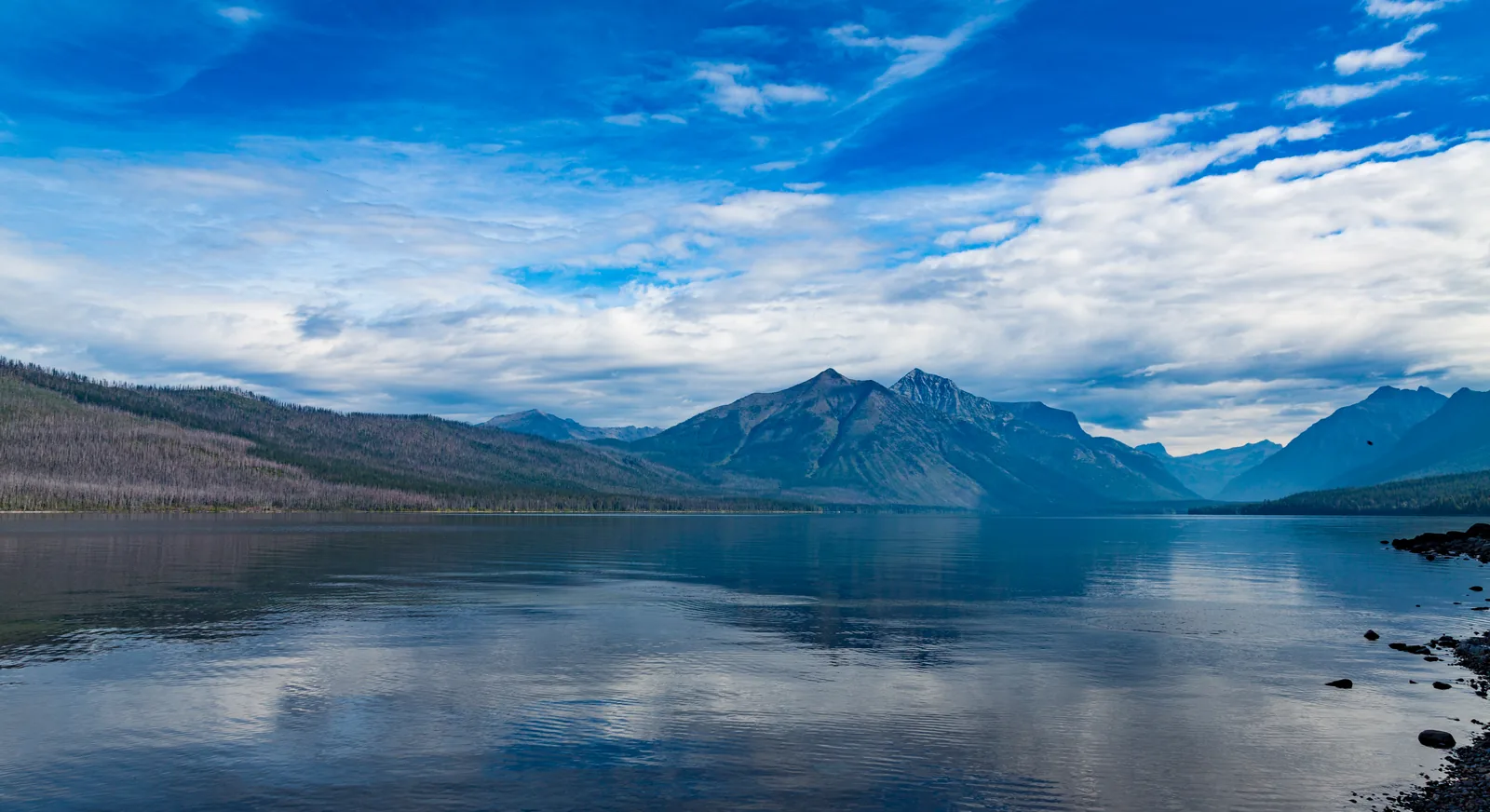
The first stop inside the West Entrance, on the south shore of Lake McDonald. The Going-to-the-Sun Road starts east from here, and this is also one of the boarding points for the Logan Pass shuttle.
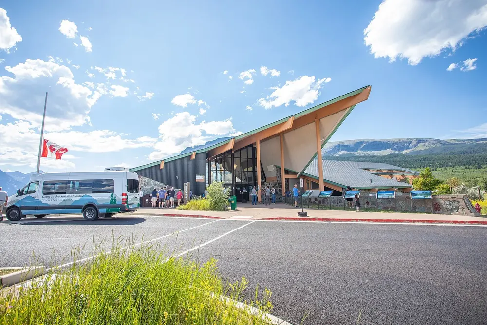
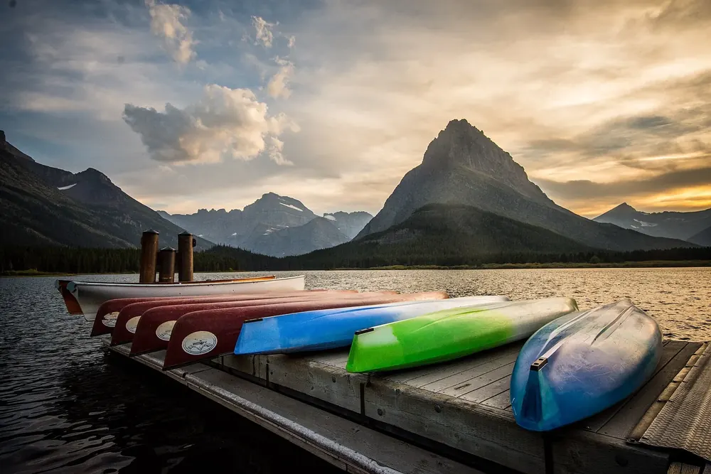
The eastern counterpart, on St. Mary Lake. You can board the Logan Pass shuttle here too. From St. Mary it is about 80 km (50 mi) and two hours over the Sun Road to West Glacier.
Mountains & rock · Pass summit, 2,026 m (6,647 ft)
Logan Pass
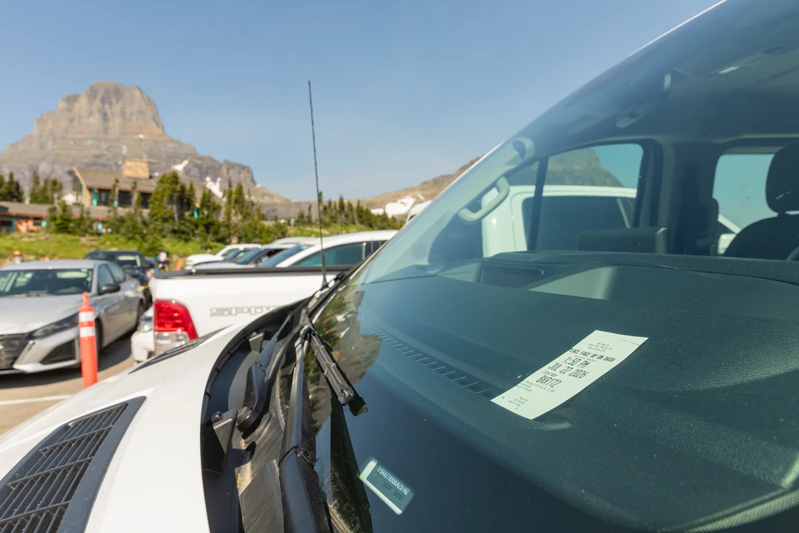
The highest point in the park you can reach by car, on the Continental Divide. Visitor centre, trailhead for Hidden Lake and the Highline Trail, and the place where parking was limited to three hours in 2026.
The highest point of the road, and in 2026 the only place in the park with a parking limit.
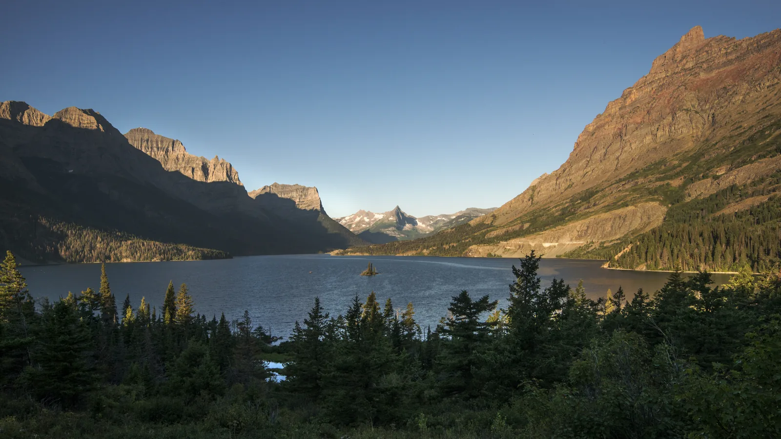
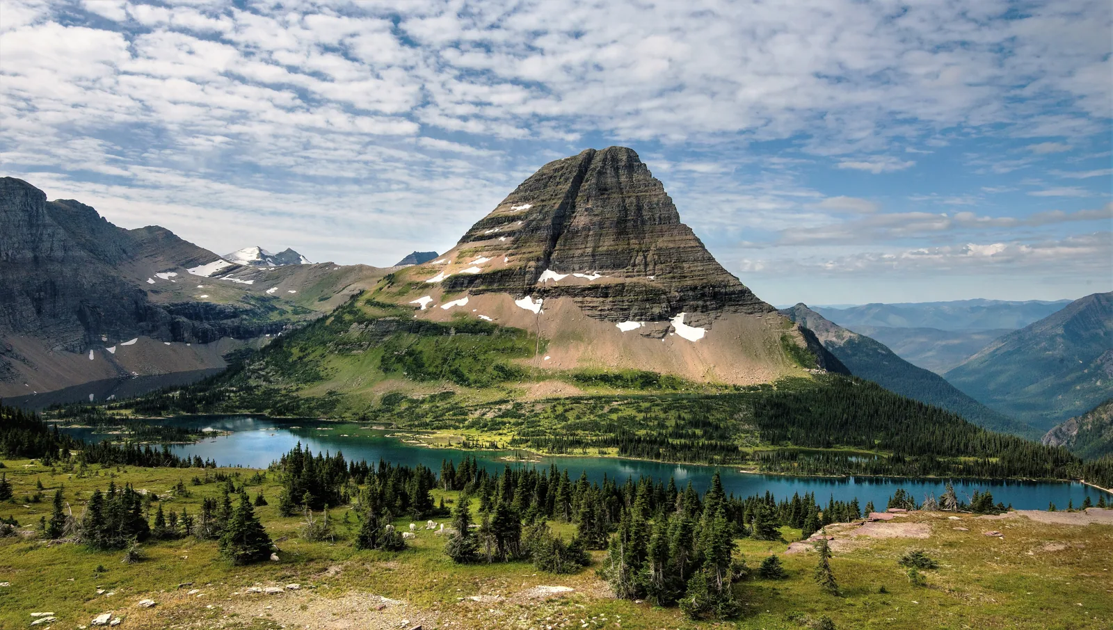
The destination of the short boardwalk from Logan Pass, with a view of Hidden Lake and Bearhat Mountain. The busiest trail in the park; in 2017 the park authority counted an average of 1,604 hikers a day.
The short trail almost everyone walks, and one that fits into the three-hour window.
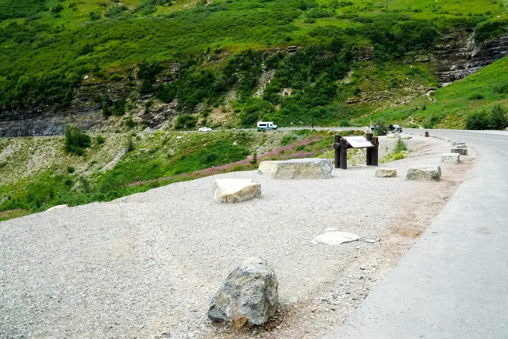
Just west of Logan Pass, with a short boardwalk and a view of the Garden Wall. One of the few stops where you can get out without a long search for parking.
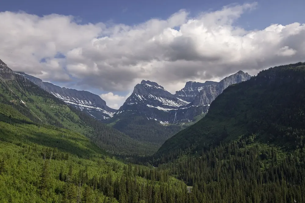
A view across the valley to a waterfall dropping from a hanging valley: the shape a glacier leaves when it carves the main valley floor deeper than the side valleys.
Trailhead for the Trail of the Cedars and Avalanche Lake in the cedar forest on the west side. In 2026 the Logan Pass shuttle explicitly did not stop here.
A valley of its own with its own access road from Babb, not reachable via the Sun Road. From West Glacier it is 70 miles (113 km) and two and a half hours.
A valley of its own, with its own access road, and not reachable via the Sun Road.
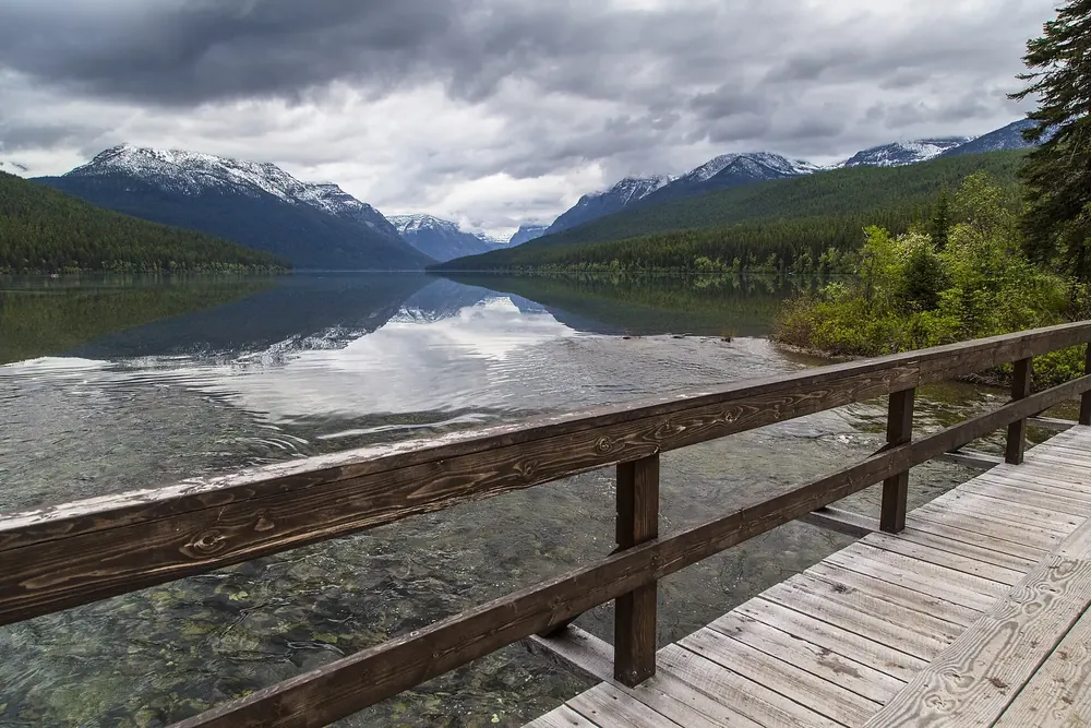
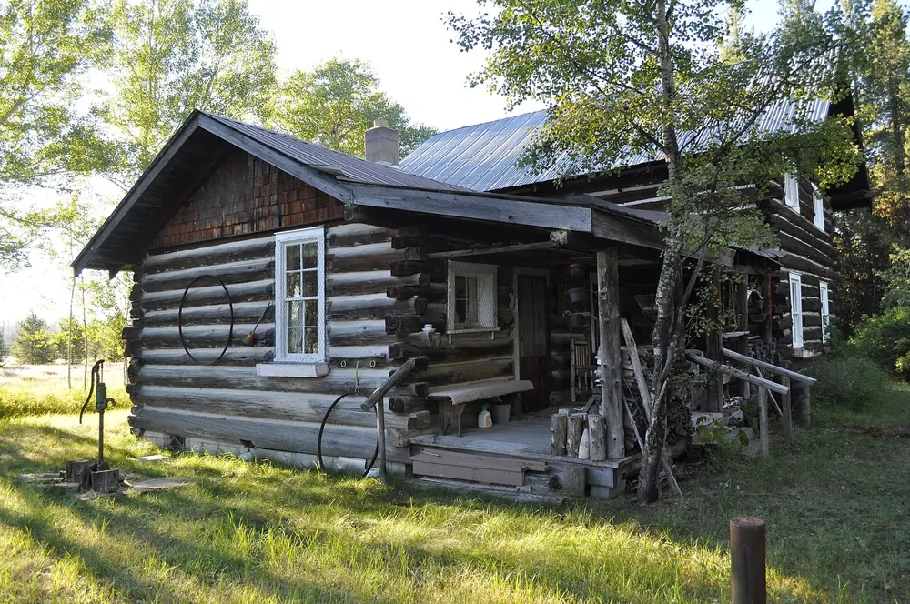
A tiny settlement on the western edge of the park, known for the Mercantile bakery. Access to Bowman and Kintla Lake; no mobile signal, no fuel in the park.
A salt lick on a steep bank above the Middle Fork Flathead, south of the park on Highway 2. Mountain goats regularly come down to the riverbank there in early summer.