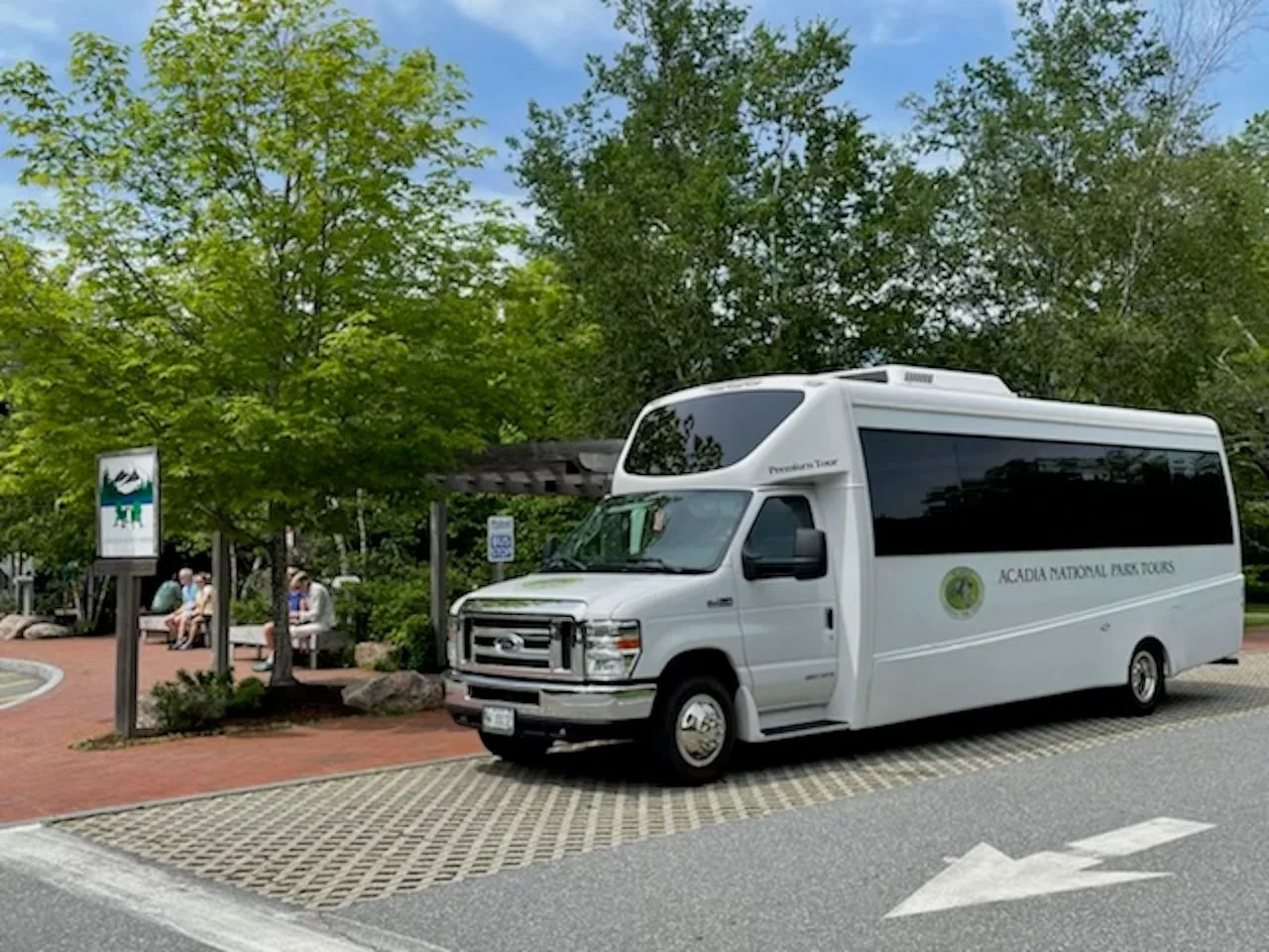
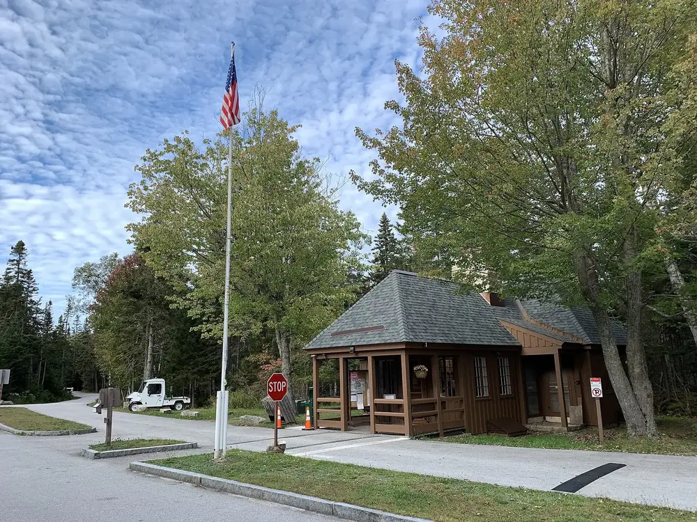
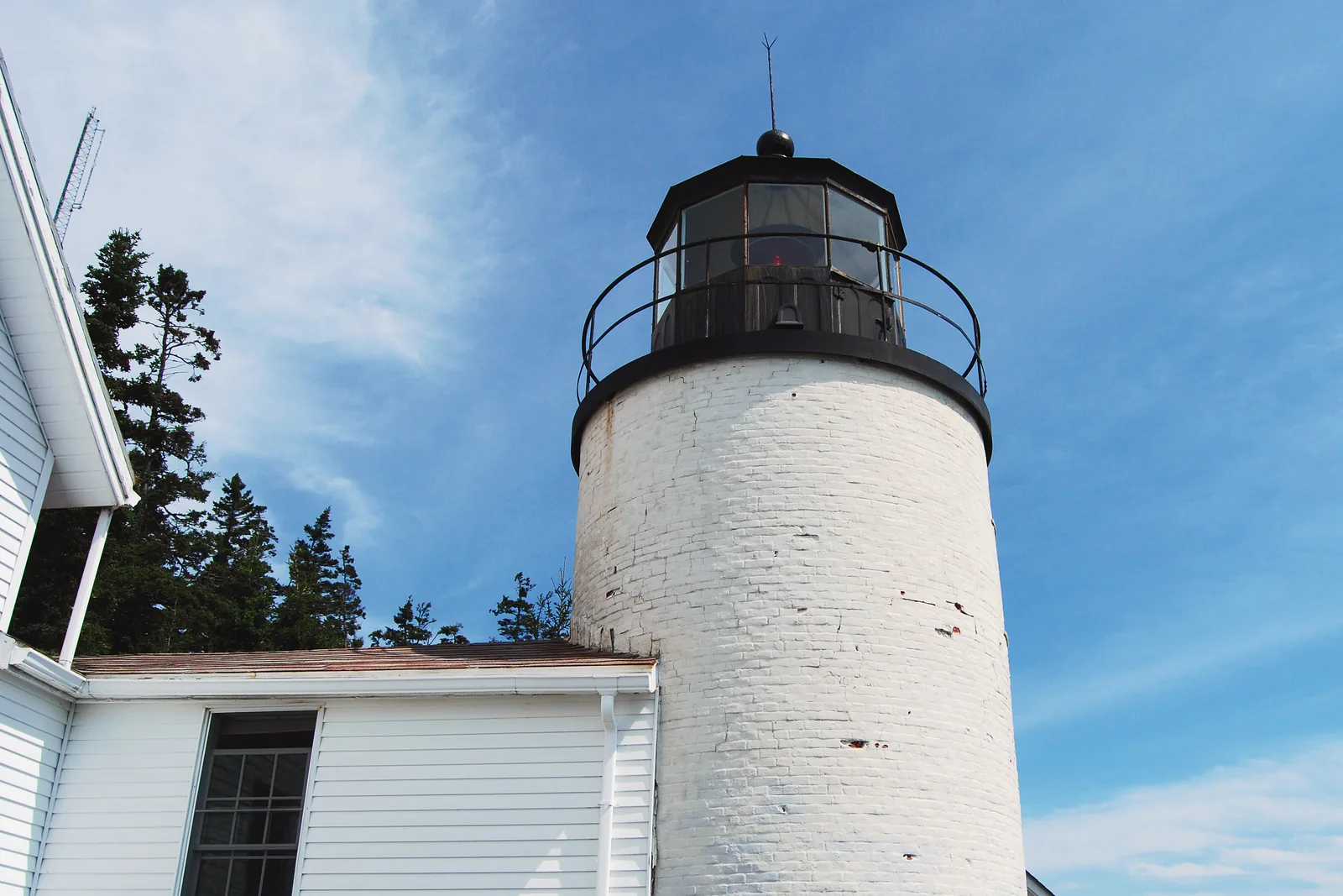
The first stop and transport hub: pass sales, maps, an Island Explorer stop and the start of the Park Loop Road. 52 steps up from the car park; a fee machine in the pavilion below works around the clock.
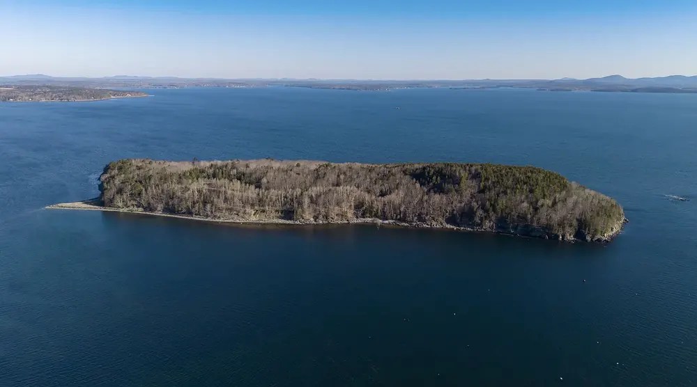
The main town on Mount Desert Island: lodging, boat trips, bike hire and Island Explorer bus routes. At low tide, the sandbar to Bar Island starts from Bridge Street.
From an hour and a half before to an hour and a half after low tide, an 800-metre (0.5 mi) gravel bar is exposed. If you miss the window, you wait nine hours for the next low tide.
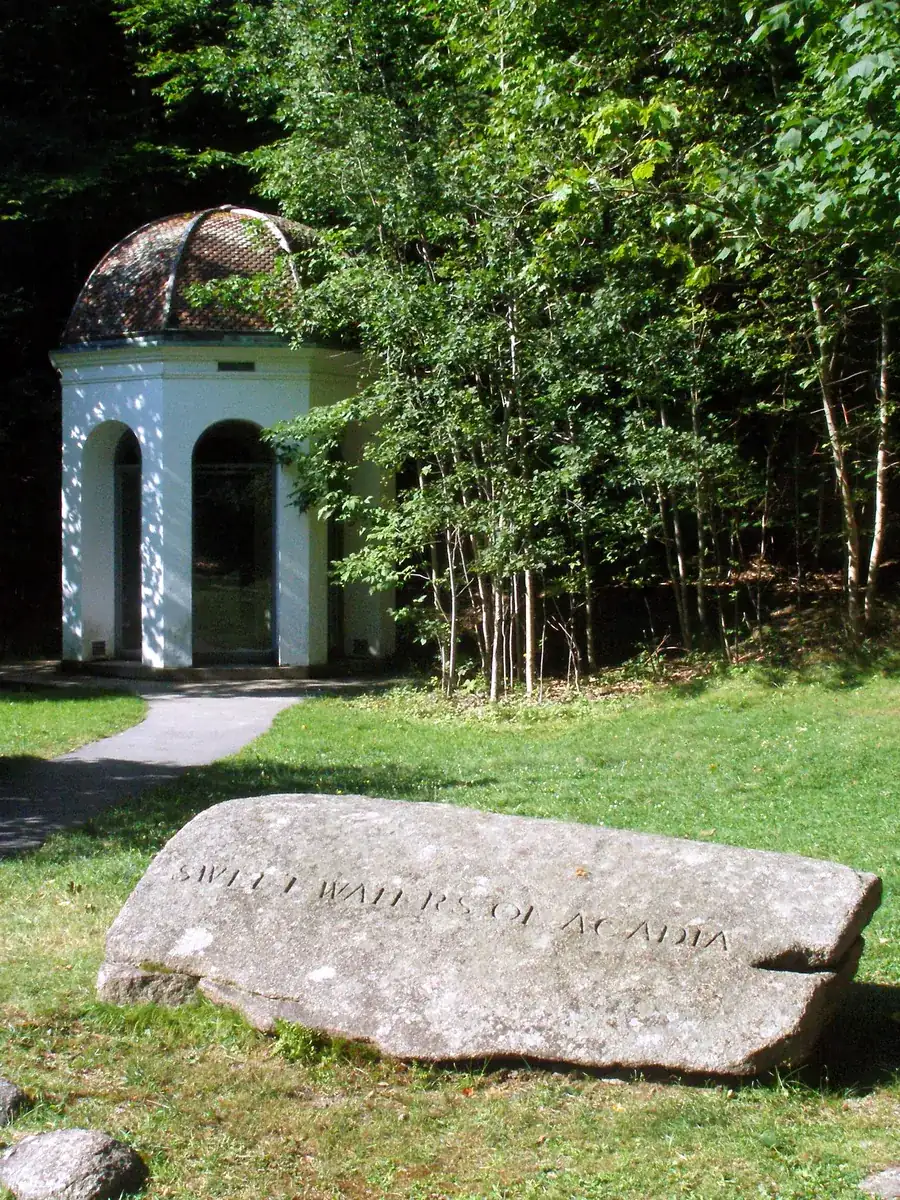
The "heart of Acadia" at the first stop on the Loop Road: the spring under its canopy, the nature centre, the Wild Gardens with the island's habitats, and trailheads for Dorr and Champlain Mountain. Over 70 bird species.
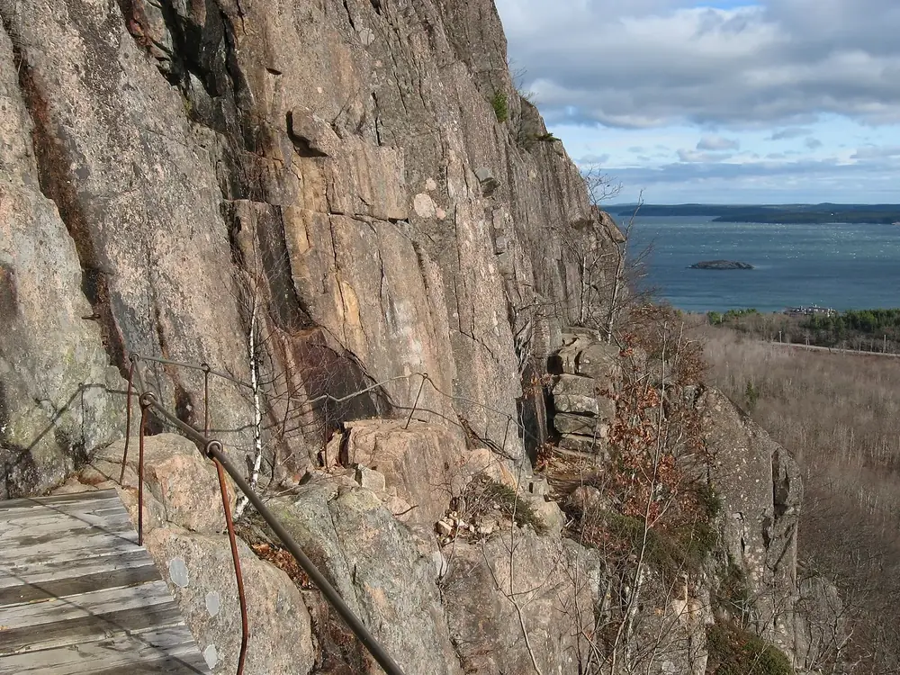
Start of the steepest trail in the park: 300 metres (980 ft) of climbing over 1.4 kilometres (0.9 mi) on iron rungs up Champlain Mountain. Closed in spring and early summer while peregrine falcons are nesting.
The pay station on the Park Loop Road, one mile (1.6 km) before Sand Beach. All passes are sold here; cyclists join the queue of cars rather than riding past.
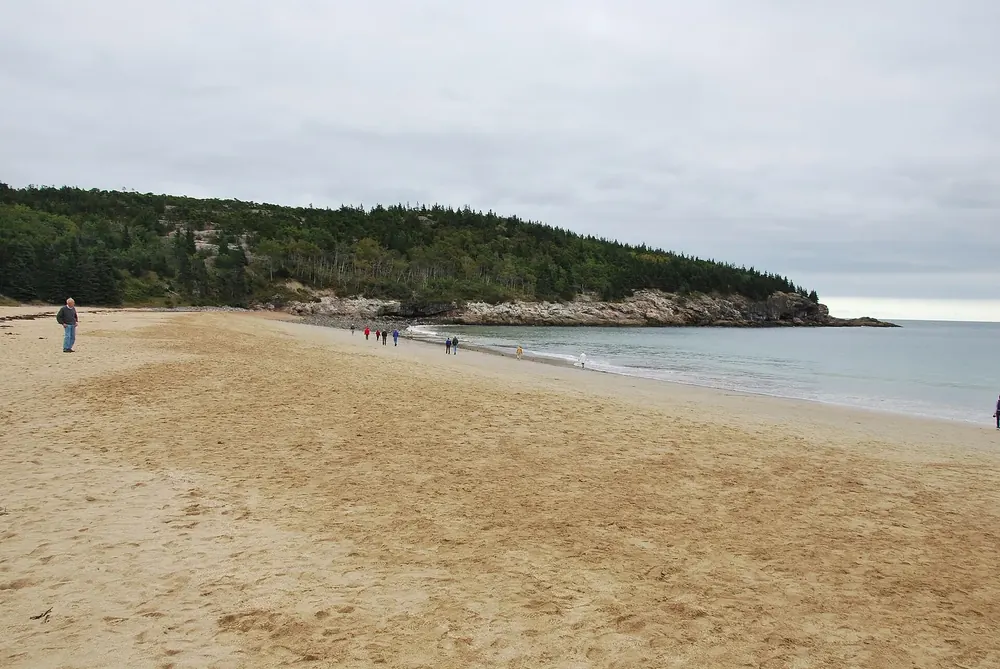
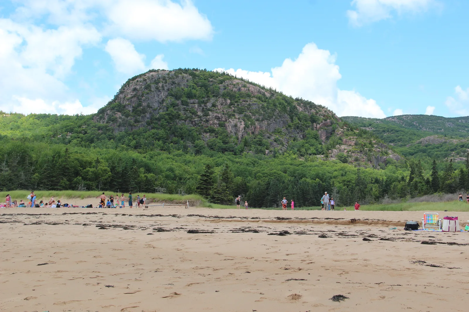
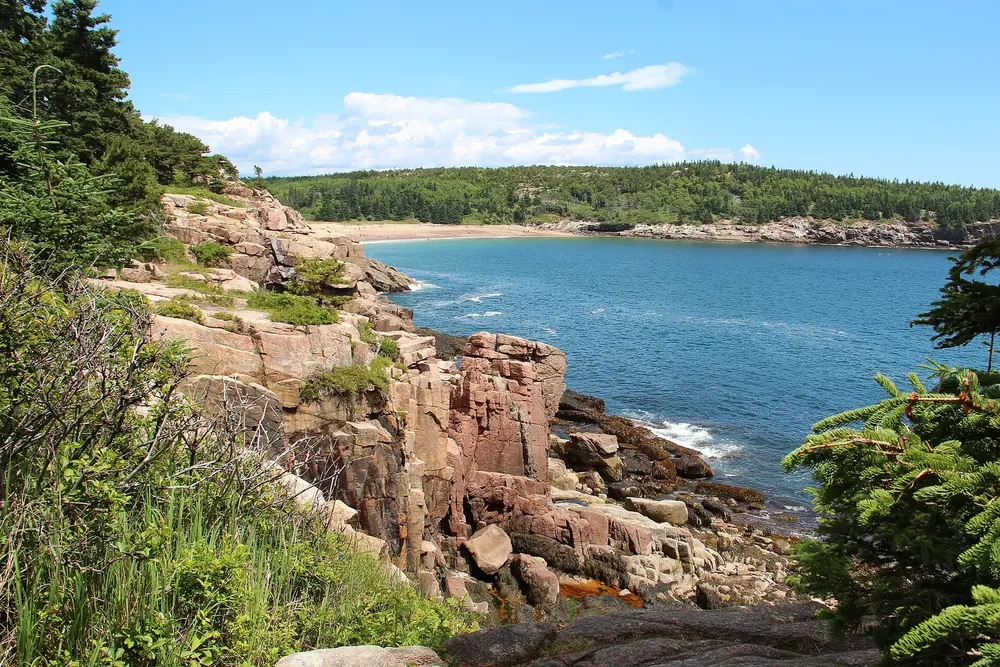
The park's only sandy beach, made of crushed shells and sea urchin fragments. Water 10 to 15 °C (50 to 59 °F), no lifeguards. Start of the Ocean Path, the Beehive and Great Head; no dogs from 15 June to 8 September.
The park's only sandy beach, and it is not made of sand.
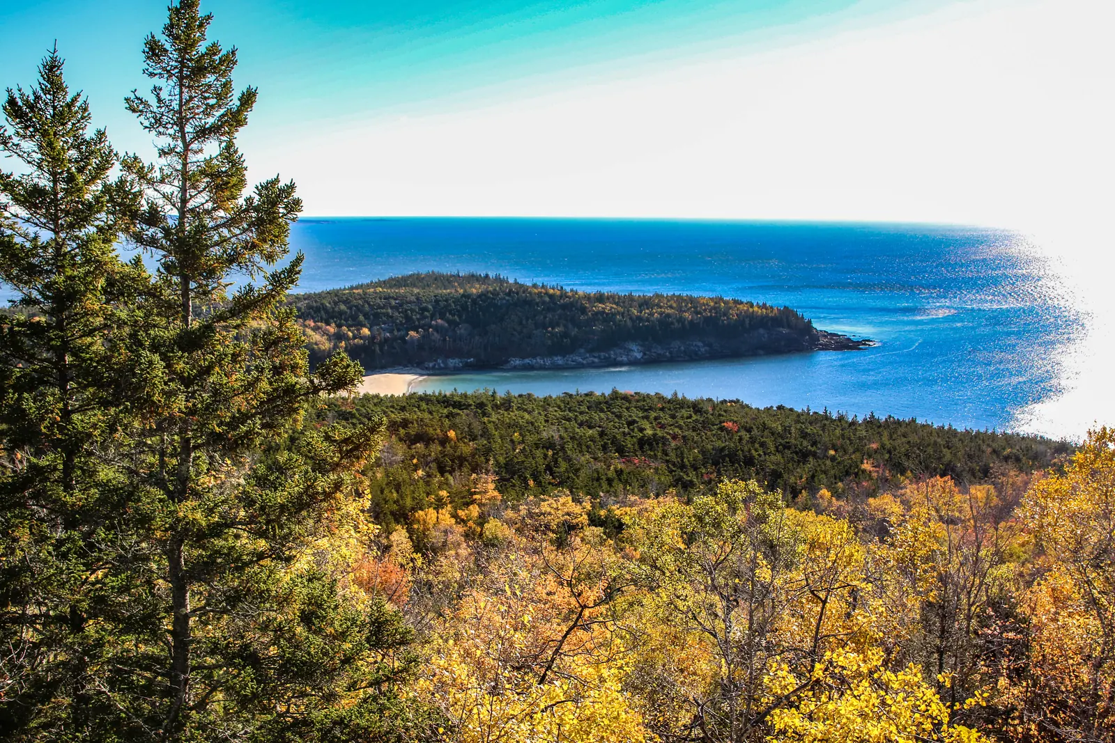
A 140-metre (460 ft) granite face with iron rungs and ladders, and the view over Sand Beach at the top. One to three hours, dangerous when wet, no dogs.
The two iron-rung trails that made Acadia famous, and the rules that come with them.
From the far end of Sand Beach over granite steps onto the headland, with the ruins of a 1915 teahouse at 44 metres (145 ft). View back over the beach and the Beehive.
From Sand Beach past Thunder Hole and the Otter Cliffs to Otter Point; the first 1.1 kilometres (0.7 mi) are surfaced. The trail that strings together most of the park's best-known views.
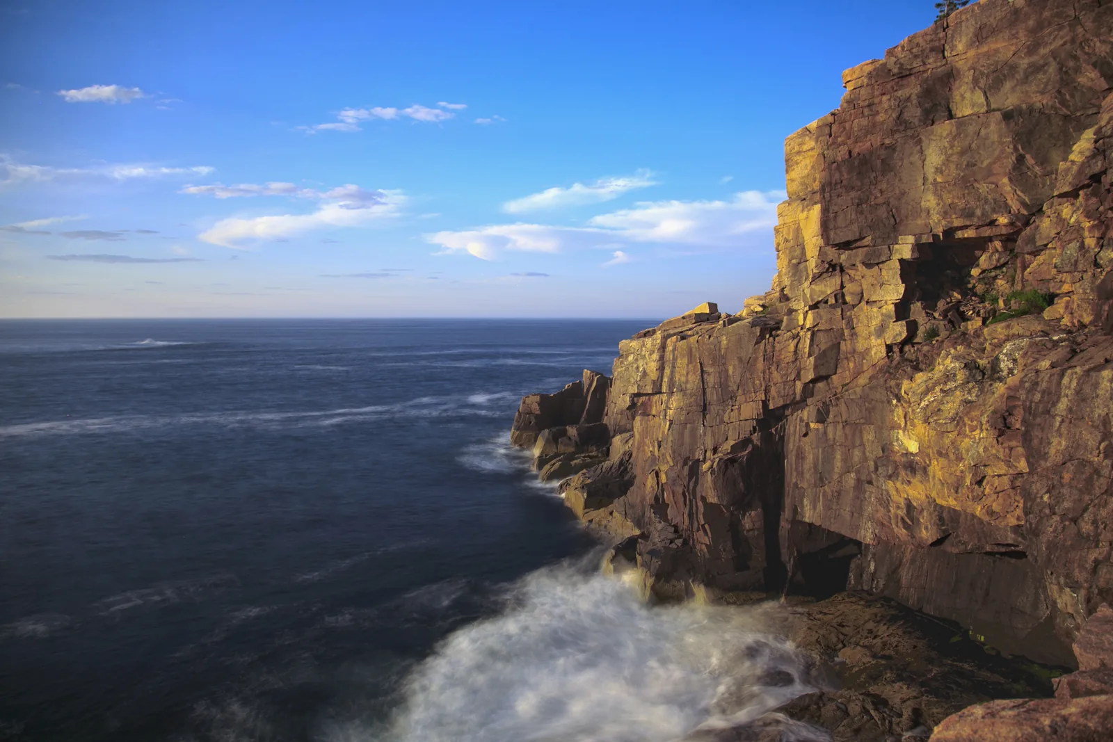
The coastal trail where the park's best-known pictures are taken.
The loop the park recommends for an overview: the coast, Cadillac in the distance and the view over the Ocean Drive. The detour over the Cadillac Cliffs has rungs and ladders.
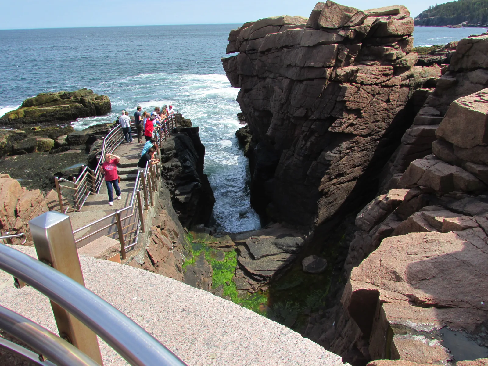
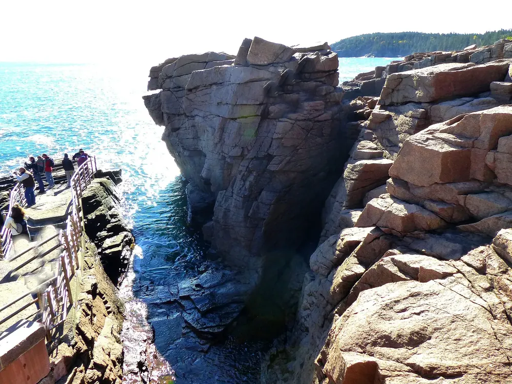
One to two hours before high tide, the sea forces the air out of the chasm: a boom like thunder, with spray up to twelve metres (40 ft) high. In storms the lower walkways are closed.
The campground on the east side, close to the Loop Road and Bar Harbor. No electric or water hook-ups, with a dump station; by reservation on Recreation.gov only.
Tea and popovers on the lawn since the 1890s; the current building dates from 1982. Pass sales, bus stop, start of the Jordan Pond Path and the carriage roads. Often crowded in the afternoon.
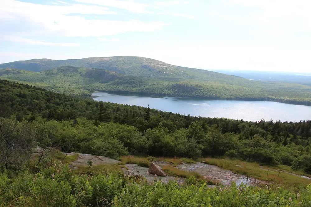
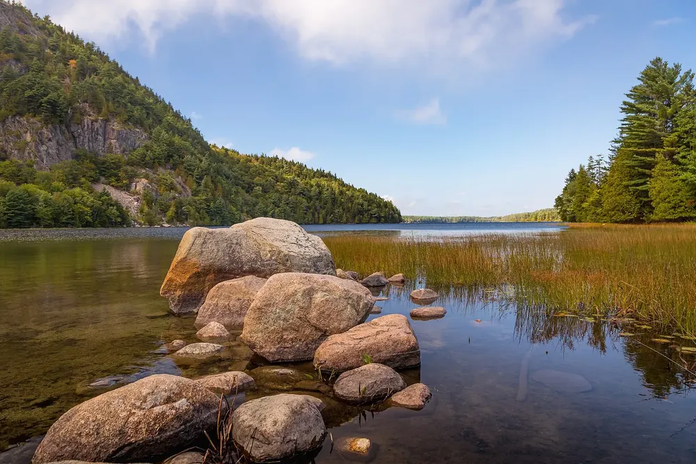
The deepest lake in the park, 46 metres (150 ft), and the drinking water supply for Seal Harbor: no swimming, no dogs in the water. The east side of the loop is level; the west side crosses boulders and boardwalk.
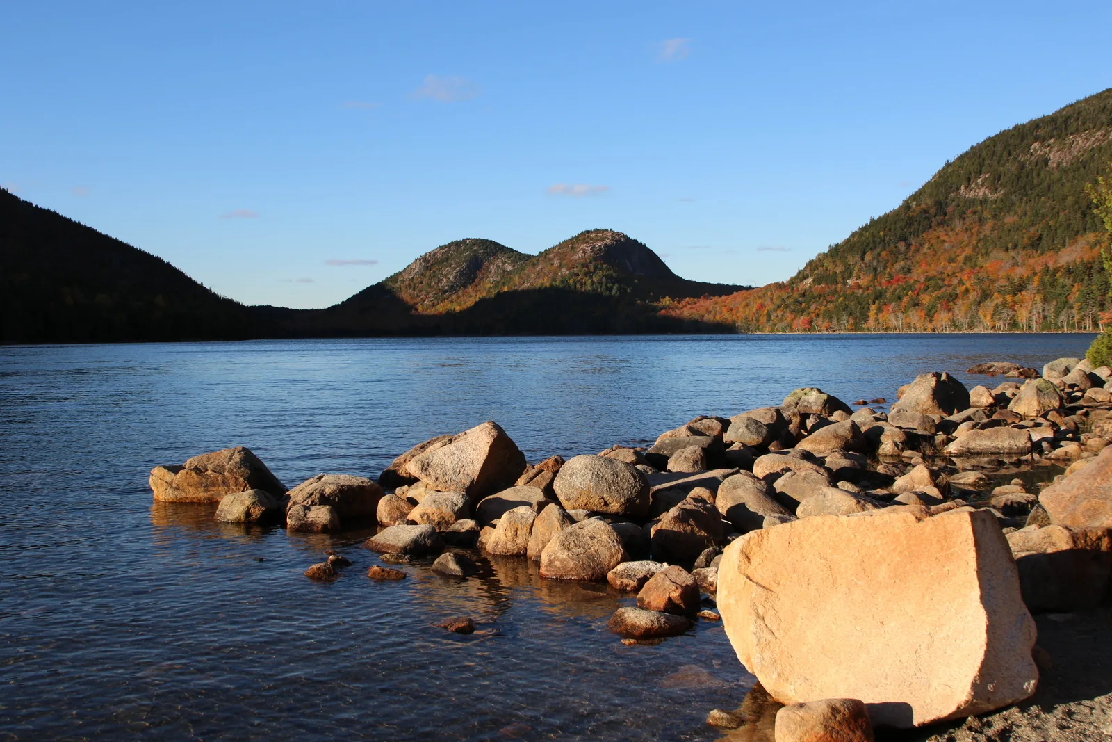
The clearest lake in the park, two round mountains behind it and a boulder on the edge.
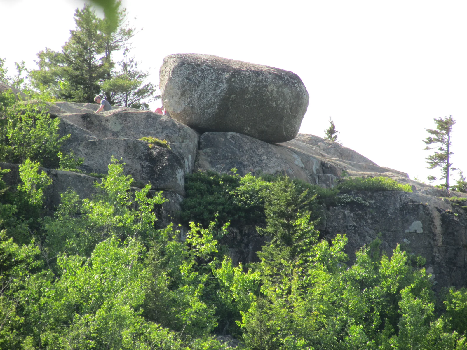
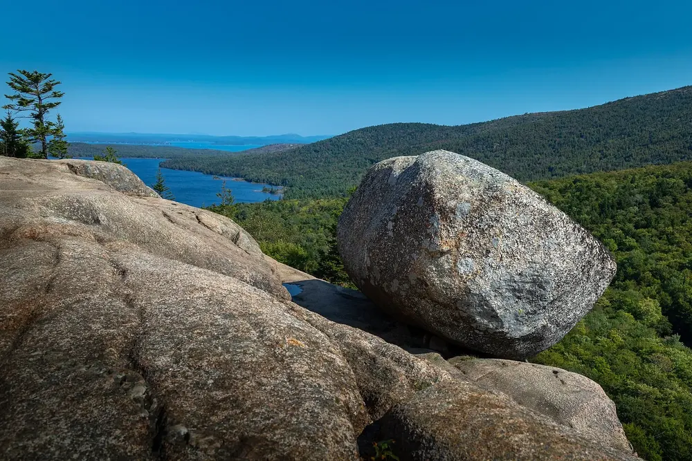
A glacial boulder perched on the edge of South Bubble as if it could tip over at any moment. From the Bubbles car park 2.4 kilometres (1.5 mi) there and back, one to one and a half hours.
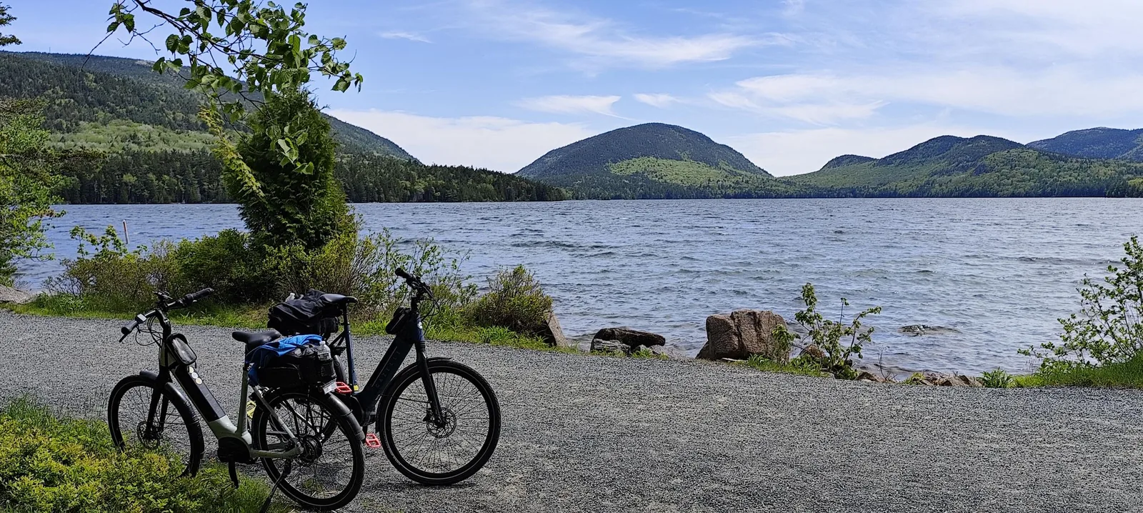
Bar Harbor's drinking water reservoir: boats up to 10 hp, no swimming. The most popular carriage road section starts on the east shore; the Bicycle Express vans from Bar Harbor end here.
Mountains & rock · Summit, 466 m (1,530 ft), reservation only
Cadillac Mountain
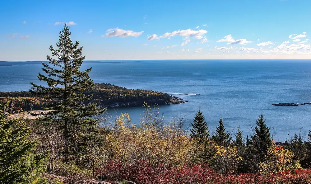
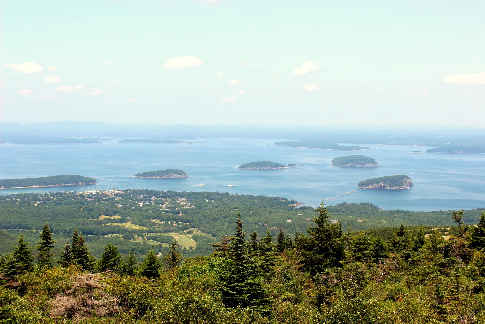
The highest point on the US East Coast; from 20 May to 25 October you can only drive up with a vehicle reservation. No bus, no RVs; on foot via the North or South Ridge Trail you need no reservation.
The highest point on the US East Coast, reachable by car, and so only with a reservation.
Trails · Summit trail, 7 km (4.4 mi) there and back
Cadillac North Ridge Trail
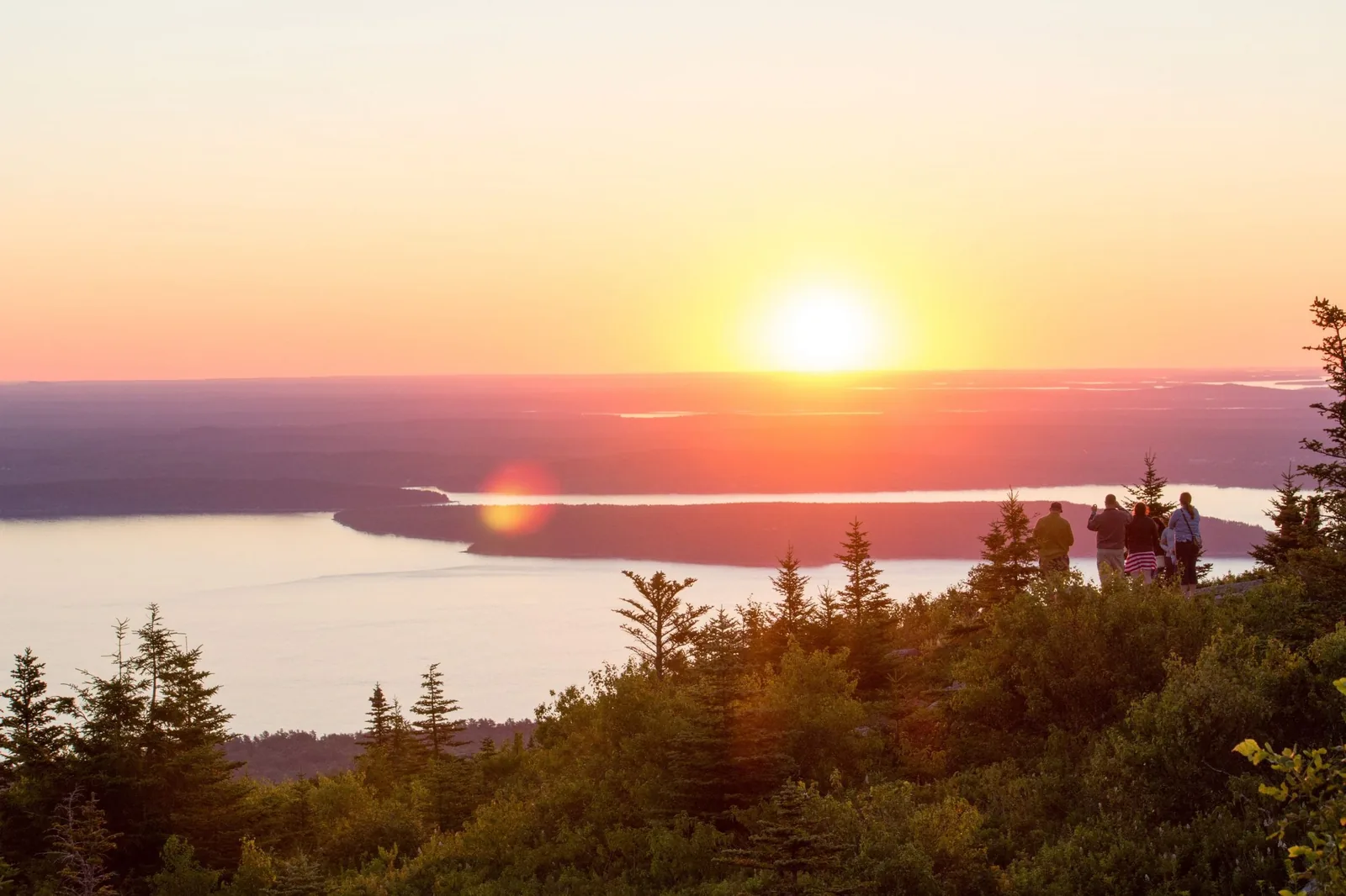
The moderate route up Cadillac from the Park Loop Road, mostly over open granite with views of Bar Harbor and Frenchman Bay. Popular for sunrise and sunset; bring a headlamp then.
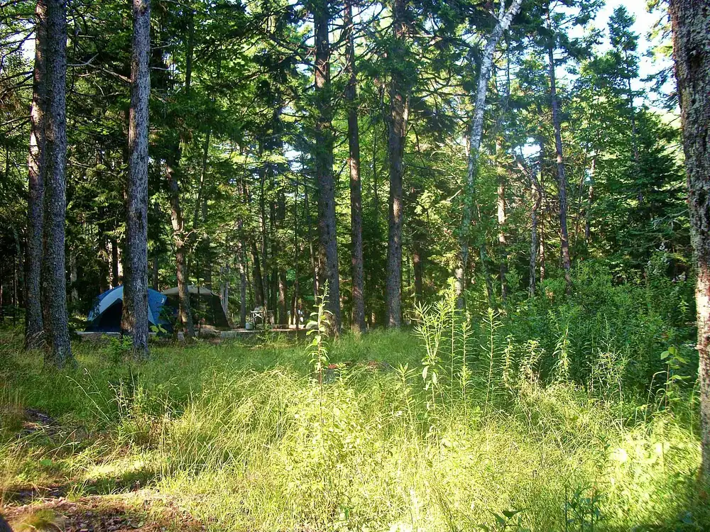
The campground on the west side near the coast, less busy than Blackwoods. The Seawall picnic area next door is open all year and a good place for stargazing.
The first stop on the Schoodic Peninsula: tables, fire rings, drinking water and a view of islands and lobster boats. Beyond it the road becomes one-way.
Mountains & rock · Headland, end of Arey Cove Road
Schoodic Point
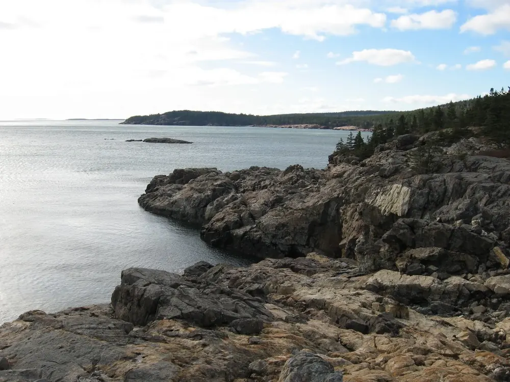
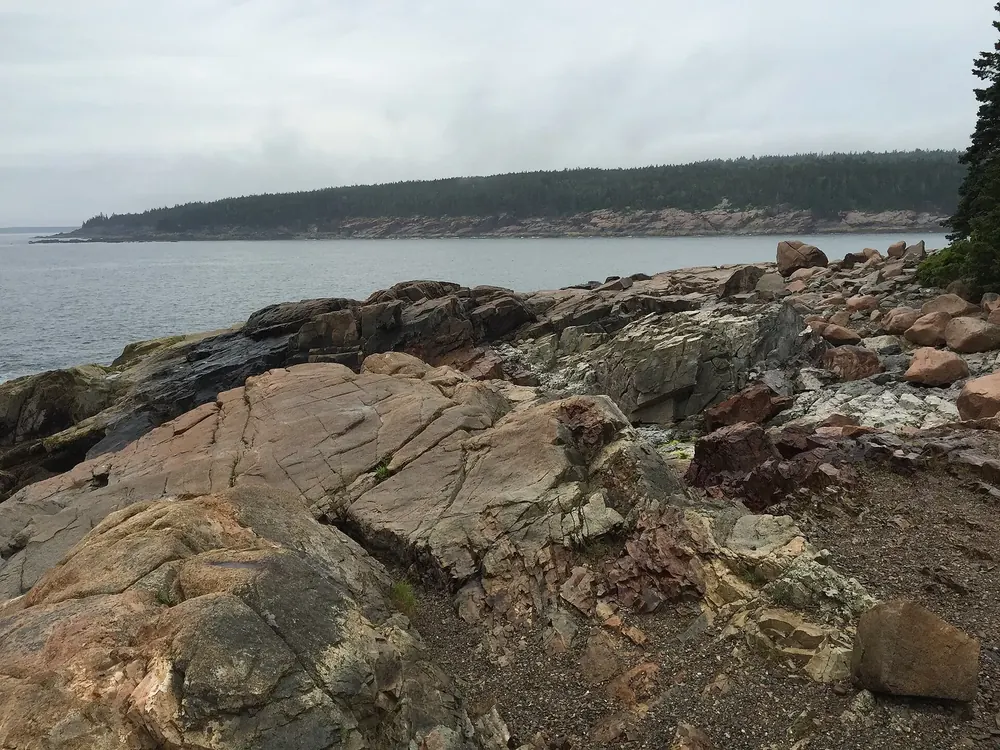
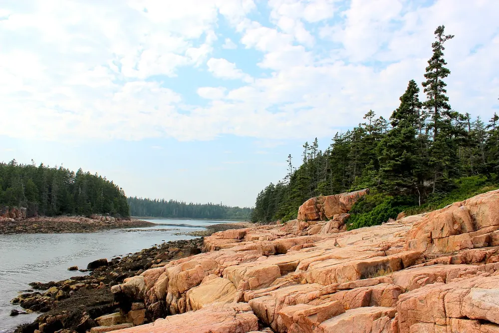
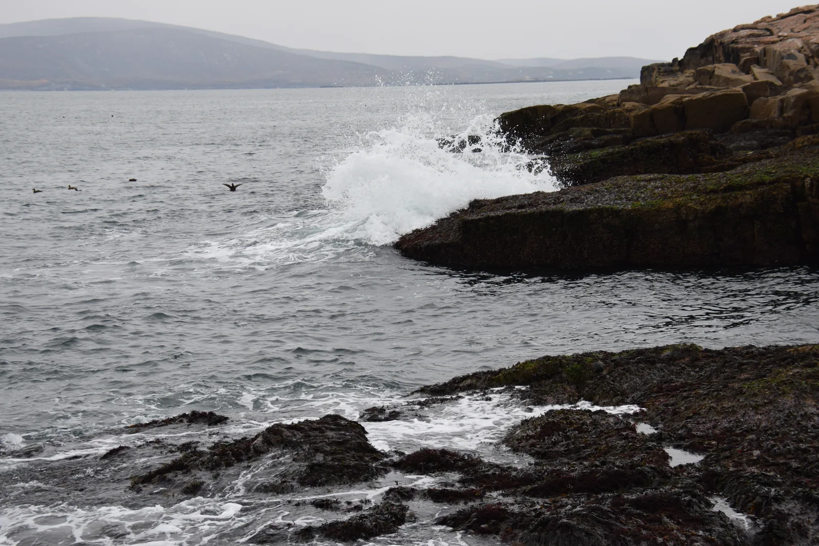
Granite slabs with black diabase dikes, where the Atlantic throws up fountains of spray in the wind. The only mainland part of the park, an hour's drive from the visitor centre.
The mainland part of the park, deliberately little developed.
The park's newest campground and the only one with water and electric hook-ups. Vehicles over 6.4 metres (21 ft) park here and take the Island Explorer around the peninsula.