


Arrival · Park office and trailhead
Khao Sok headquarters
The park office in the village of Khlong Sok, 34 Mu 6, Phanom district. The trails along the Sok to the waterfalls start here.
Open in OpenStreetMap ↗Location source ↗
8.91577, 98.52792

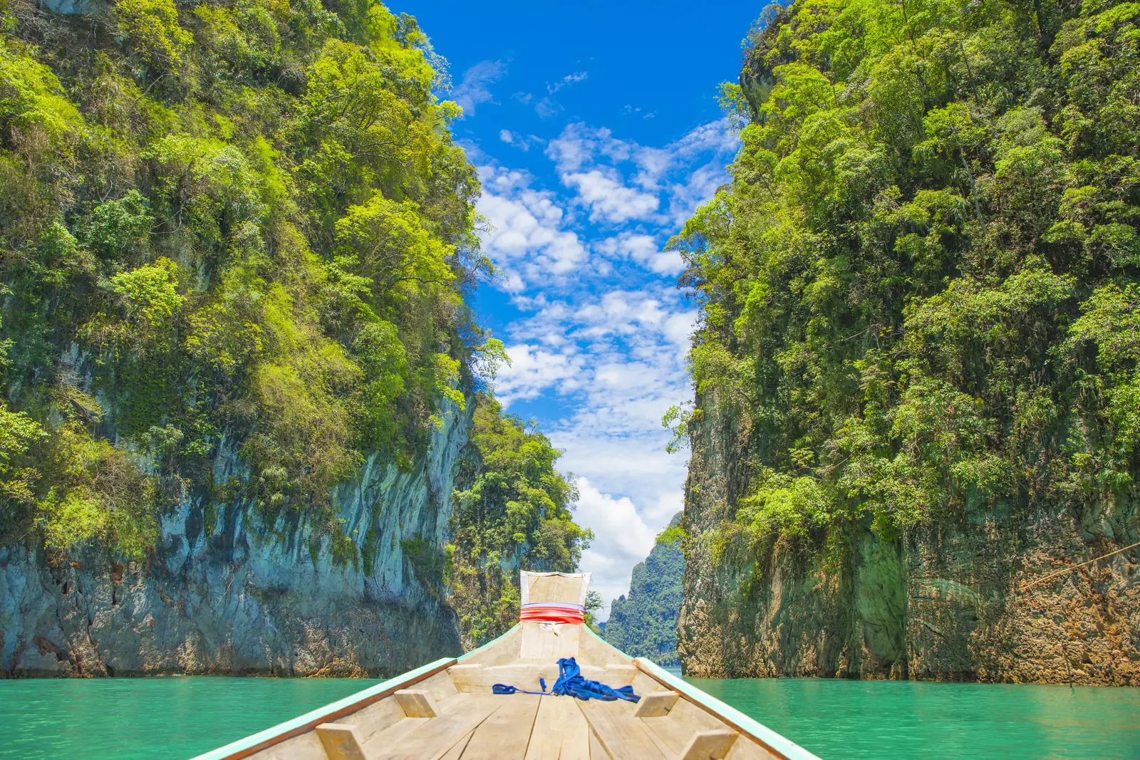
17 places with verified coordinates · 7 with photo
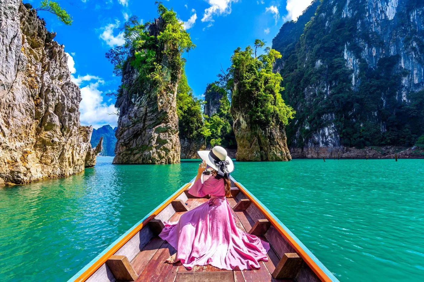
Private boat trip · 4–6 hours · GetYourGuide
Khao Sok: private longtail boat on Cheow Lan Lake, early or in the afternoon ↗Start on the map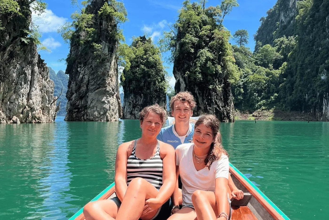
Day trip to the lake · 7 hours · GetYourGuide
Khao Sok: day trip from the headquarters to the reservoir, park entry included ↗Pick-up in the Khao Sok area.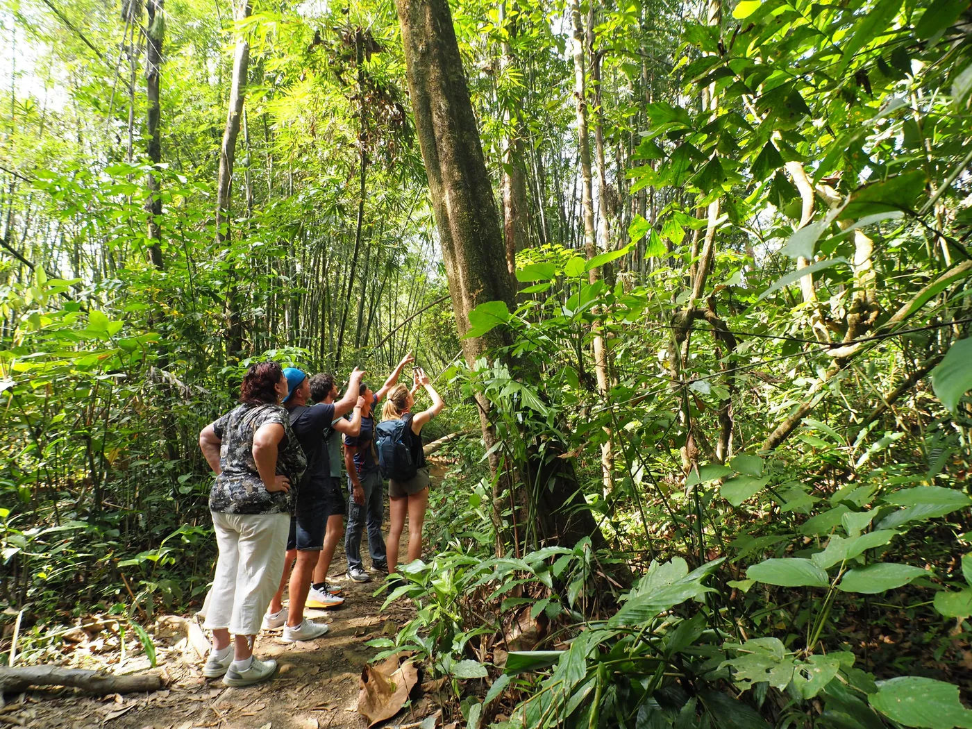
GetYourGuide
From Khao Lak: half-day rainforest hike from the Khao Sok headquarters ↗Hotel pick-up in Khao Lak, morning or afternoon.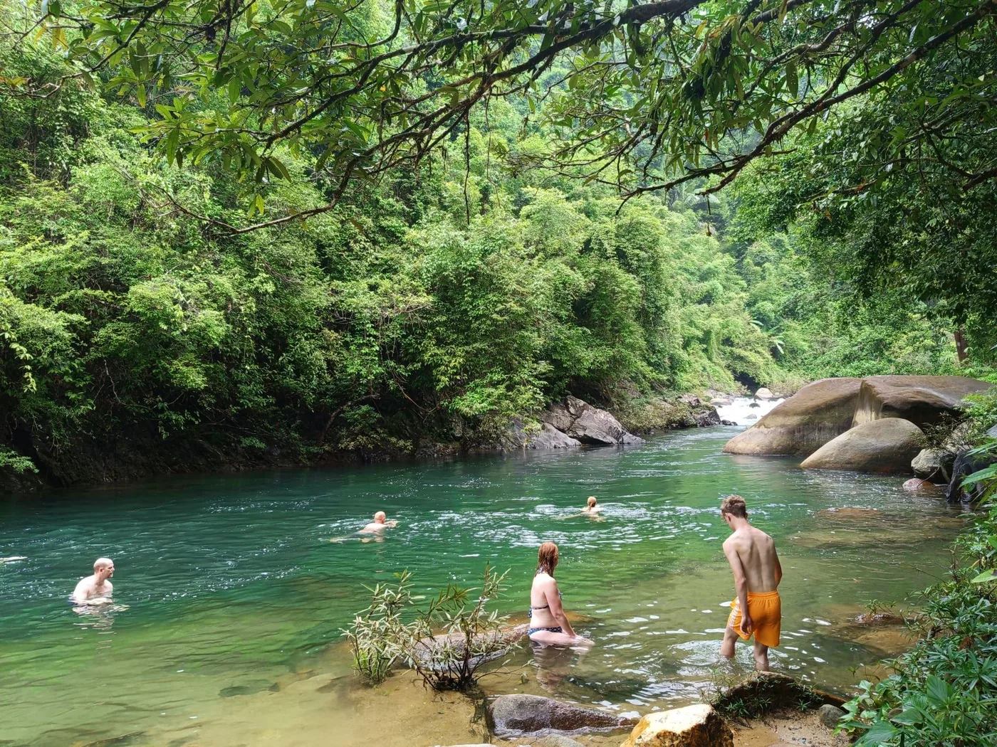
Hike · 4 hours · GetYourGuide
Khao Sok: half-day hike to the Wing Hin and Bang Hua Rad waterfalls, with pick-up in Khao Sok village ↗Hotel pick-up in the Khao Sok area; the page gives no separate meeting point.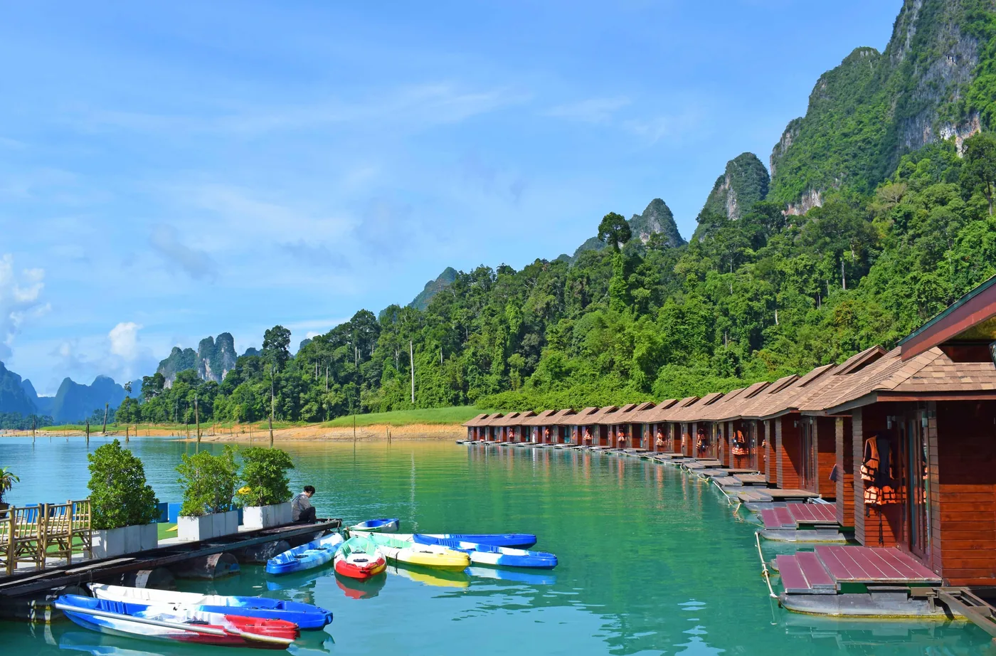
GetYourGuide
Cheow Lan Lake: two days with a night in a floating bungalow ↗The provider's office, according to the page the last one on the right before the river; getting there is not included.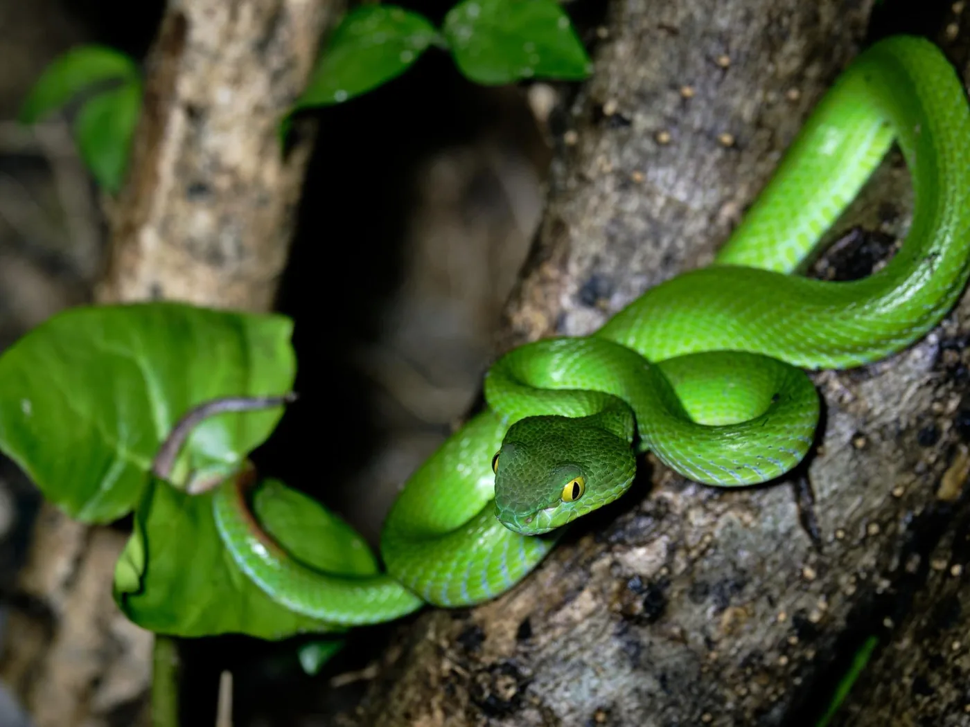
Evening · Night safari · GetYourGuide
Khao Sok: night safari on foot in the national park, with pick-up in Khao Sok village ↗Hotel pick-up in the Khao Sok area; the page gives no separate meeting point.Ad · partner links: we may earn a commission if you book. Offer details checked 2 Oct 2026; dates and prices with the provider.
Arrival · Park office and trailhead
The park office in the village of Khlong Sok, 34 Mu 6, Phanom district. The trails along the Sok to the waterfalls start here.
Open in OpenStreetMap ↗Location source ↗
8.91577, 98.52792
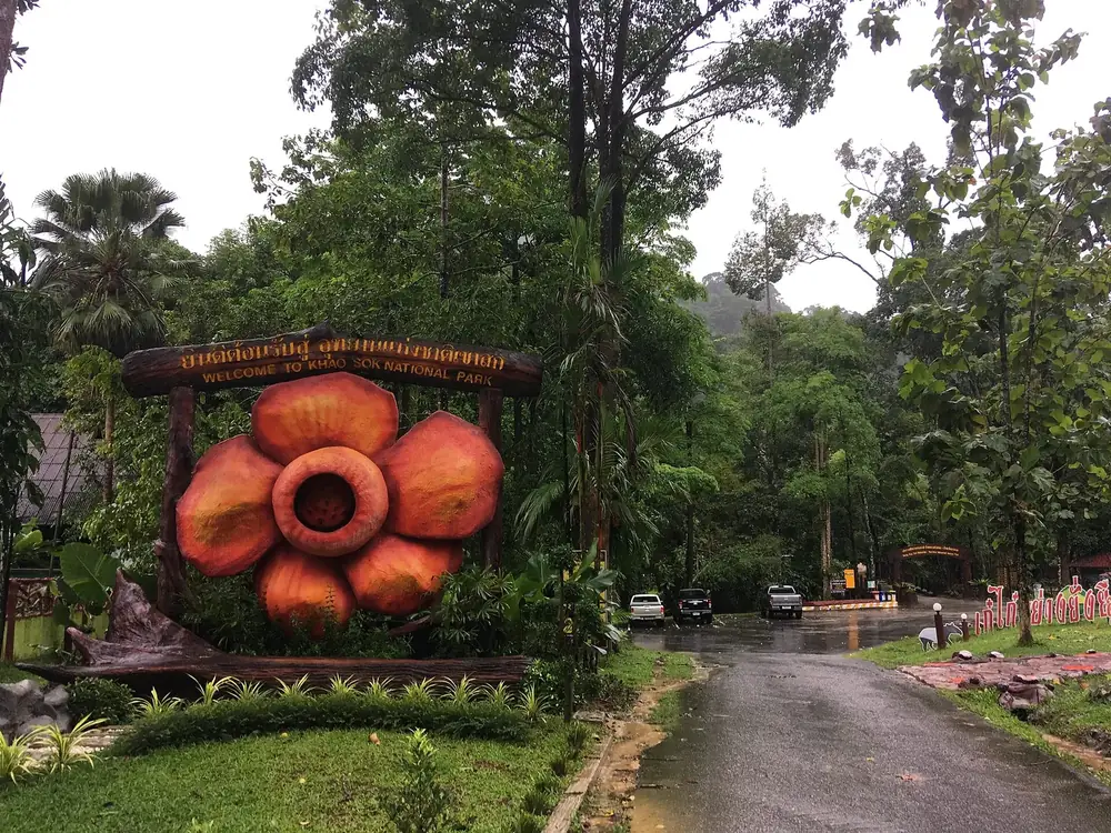
Arrival · Entrance, fee paid in cash
This is where the fee for the headquarters side is collected. Keep your ticket.
Open in OpenStreetMap ↗Location source ↗
8.89172, 98.50845
Water · Waterfall on the main trail
The first waterfall on the trail along the Sok, reached after a short distance from the headquarters.
Open in OpenStreetMap ↗Location source ↗
8.91073, 98.50790
Arrival · Ranger post on the main trail
A ranger post with a small drinks stall on the main trail. Further on the path gets narrower and slippery after rain.
Open in OpenStreetMap ↗Location source ↗
8.91101, 98.50591
Water · Waterfall with eleven tiers
The name means "eleven tiers". North of the headquarters, on a separate trail.
Open in OpenStreetMap ↗Location source ↗
8.94452, 98.52689
Water · Waterfall at the end of the main trail
The farthest waterfall on the main trail, reached via the Ton Kloi Track.
Open in OpenStreetMap ↗Location source ↗
8.92219, 98.48750
Mountains & rock · Gorge on the Sok
A narrow point where the river runs between rock walls, at the western end of the trail system.
Open in OpenStreetMap ↗Location source ↗
8.91369, 98.48863
Water · Waterfall south of the entrance
South of the checkpoint; one of the waterfalls the tourism authority names as main destinations.
Open in OpenStreetMap ↗Location source ↗
8.88356, 98.49838
 Surroundings
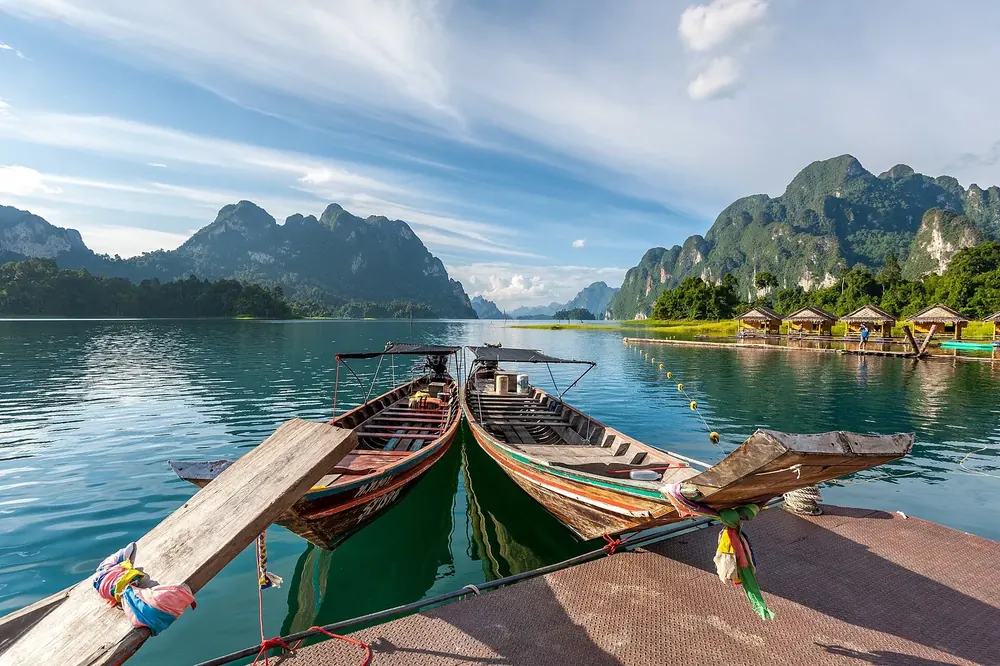
Nature · Dam, 94 m (308 ft) high
Formerly called Cheow Lan Dam. A rockfill dam with a clay core, crest length 761 metres, completed in 1987.
Open in OpenStreetMap ↗Location source ↗
8.96695, 98.80280
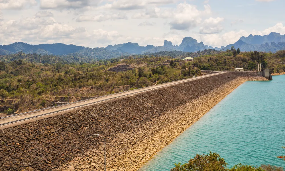
Viewpoint · View over the lake
Above the dam wall, with a view over the start of the lake.
Open in OpenStreetMap ↗Location source ↗
8.97378, 98.81018
Arrival · Information point near the pier
The information point on the lake side of the park, near the boat pier. Many boatmen meet their guests at the steps in front of it.
Open in OpenStreetMap ↗Location source ↗
8.97655, 98.81970
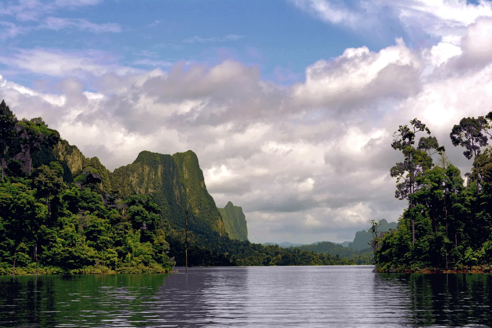
Water · Reservoir, 185 km²
The reservoir behind the Rajjaprabha Dam: 185 square kilometres of water surface and a capacity of 5.6 billion cubic metres according to the operator.
185 square kilometres of water between limestone cliffs rising from a flooded valley.
Guided from here · Ad
Partner links: we may earn a commission if you book. Dates and prices with the provider.
Open in OpenStreetMap ↗Location source ↗
9.07727, 98.67266
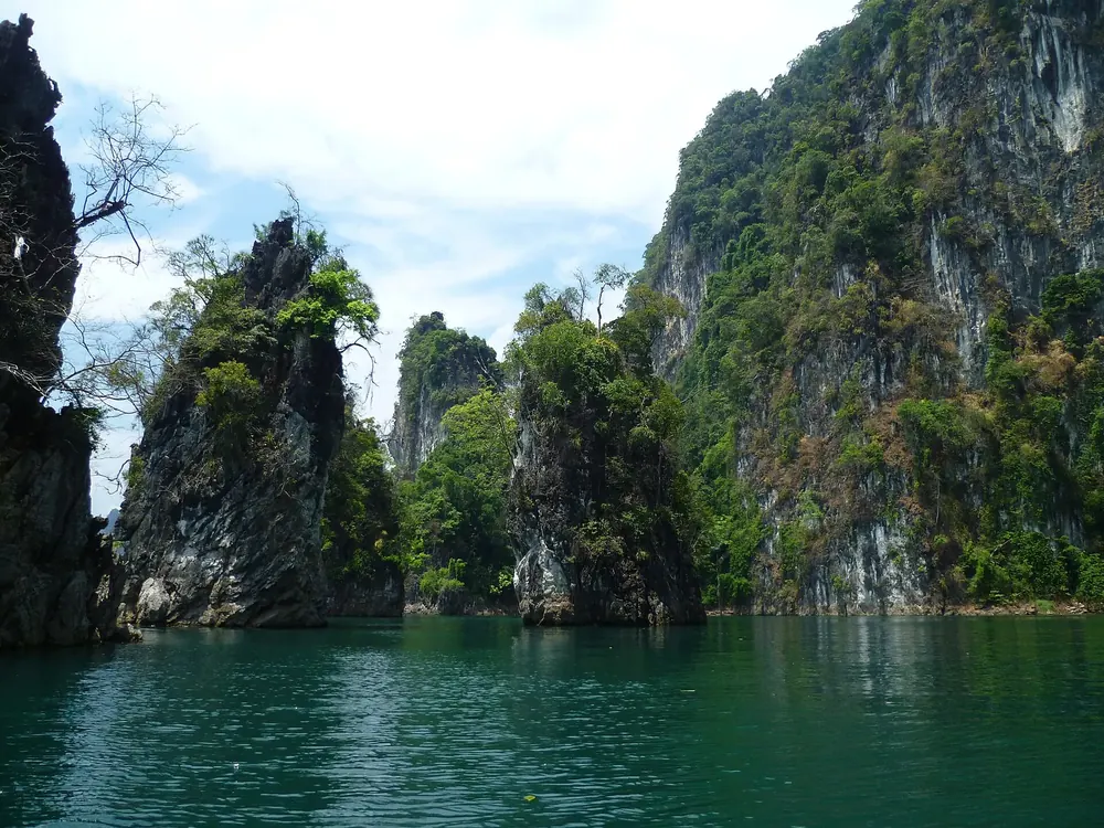
Mountains & rock · Rock group in the lake
The three limestone towers that appear in almost every photo of the lake. Boats approach them from both sides.
Open in OpenStreetMap ↗Location source ↗
8.99718, 98.70906
Mountains & rock · Cave on the lake shore
A limestone cave reached by a short jungle path from the shore; part of many boat tours.
Open in OpenStreetMap ↗Location source ↗
8.96368, 98.70126
Mountains & rock · Cave in the north of the lake
Tham Pakarang, a cave with coral-like limestone formations in the northern part of the lake.
Open in OpenStreetMap ↗Location source ↗
9.11401, 98.72413
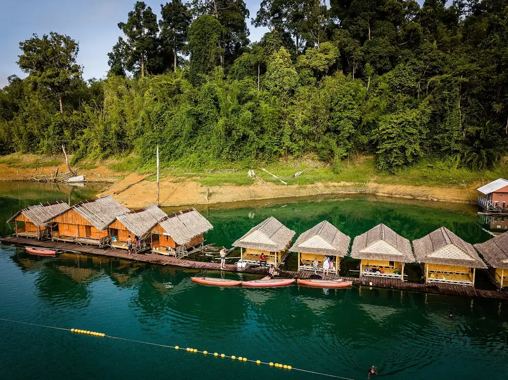
Arrival · Park protection station on the lake
One of the stations from which the park authority guards the lake; recorded in OpenStreetMap with a campsite.
Open in OpenStreetMap ↗Location source ↗
9.07654, 98.61406
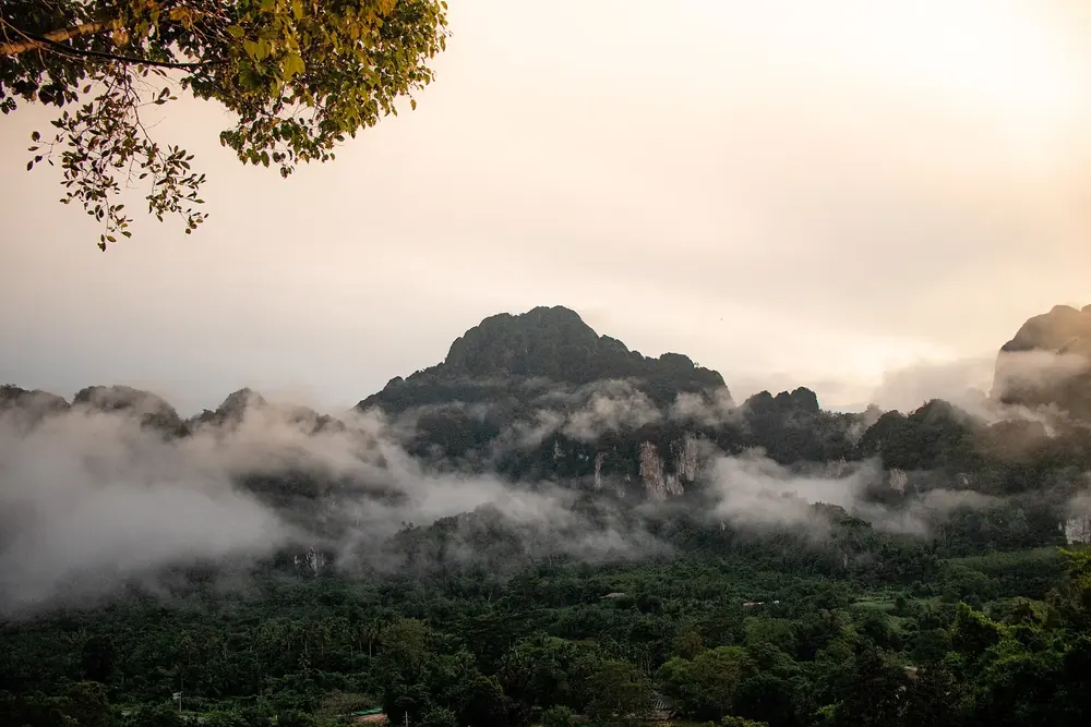
Nature · Neighbouring park to the south-east
According to the tourism authority, the only other place where Rafflesia kerrii grows.
Open in OpenStreetMap ↗Location source ↗
8.87502, 98.67440
Loading map …