Surroundings · Town before the gate, lodges, NCAA office
Karatu
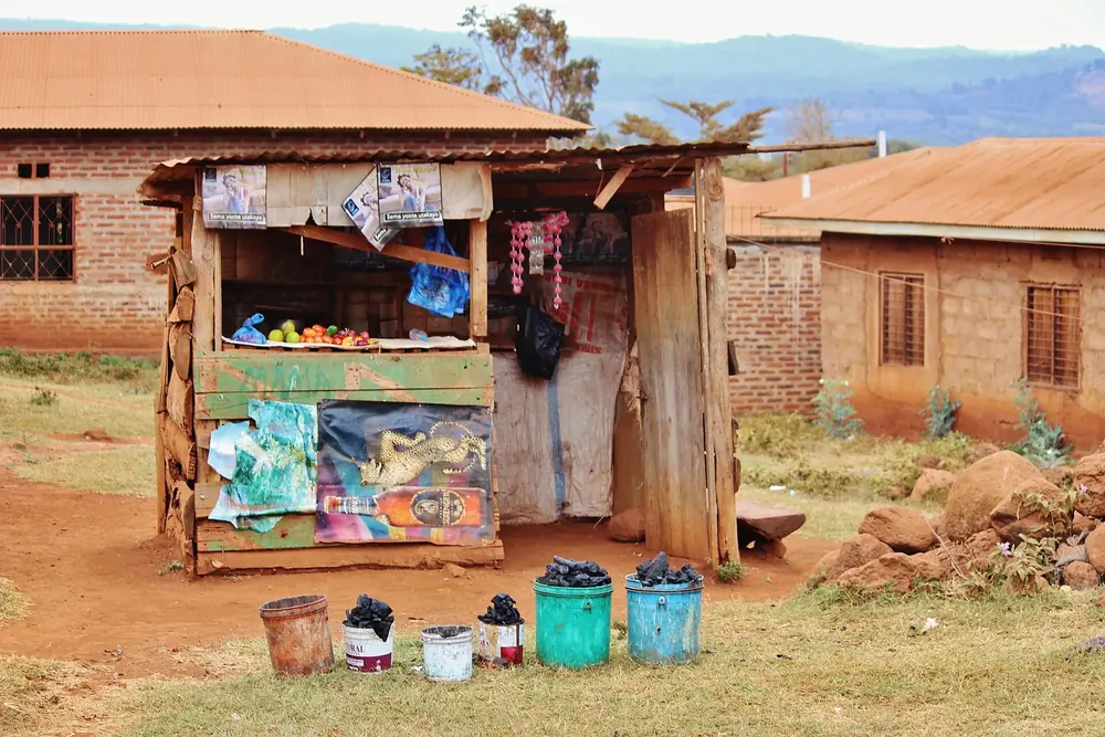
The last town before the conservation area, 14 kilometres (8.7 mi) from Loduare Gate, with an information office of the authority beside the road to the crater. Many lodges and farmhouses for your visit are here, outside the fee zone.
The authority names the airstrip at Lake Manyara as the nearest local airport, 74 kilometres (46 mi) from the conservation area; Kilimanjaro International Airport is 227 kilometres (141 mi) away, Arusha Airport 174 (108 mi).
The main entrance, with a reception centre, information and customer service. Almost all the main attractions are reached from here. You are asked to pay online in advance; the gate opens at 6:00 and closes at 18:00.
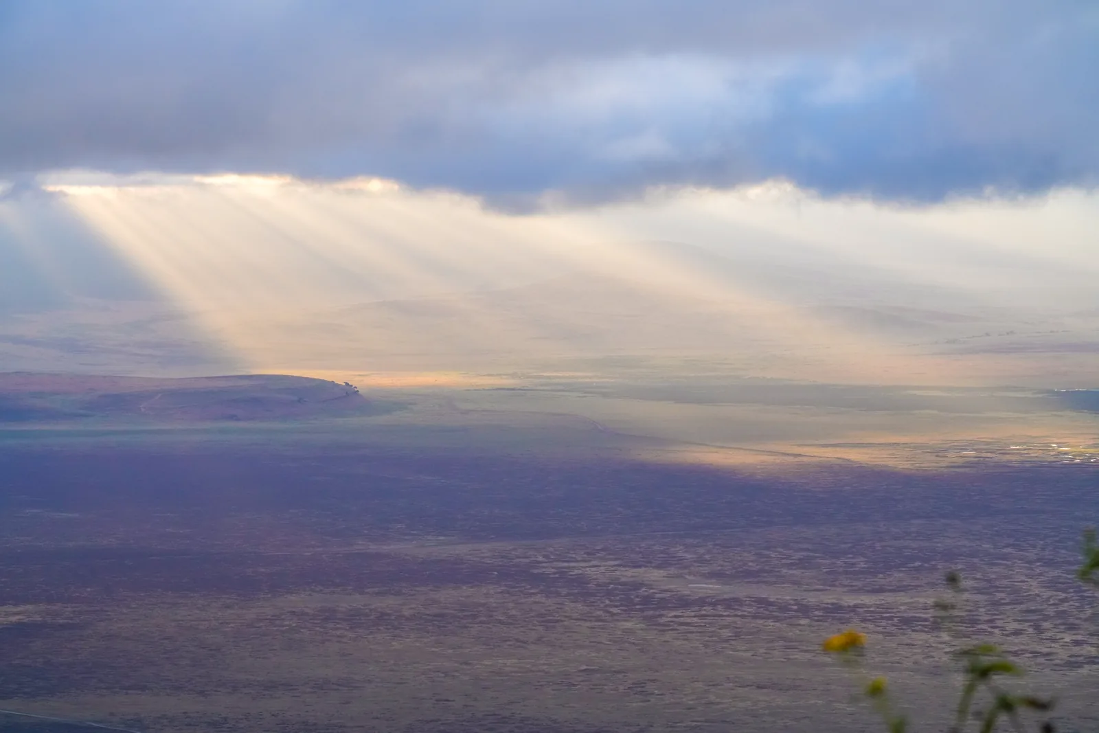
The viewpoint on the southern rim where almost every tour stops: 600 metres (1,969 ft) below lies the crater floor with Lake Magadi, and the northern wall rises opposite.
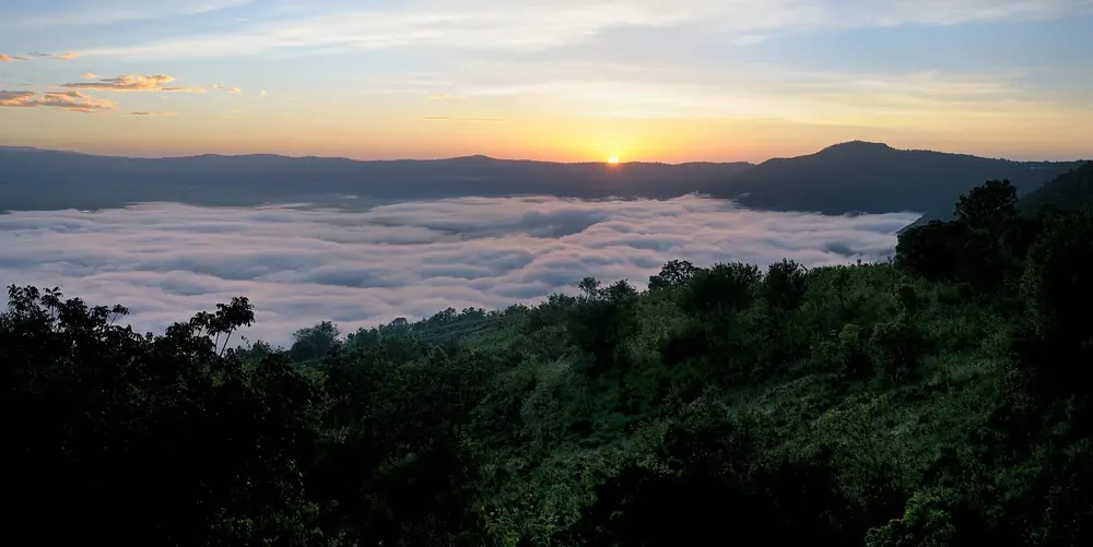
One of the eleven lodges in the conservation area, in the forest behind the crater rim. For lodges inside the NCA, the authority charges a concession fee per person per night.
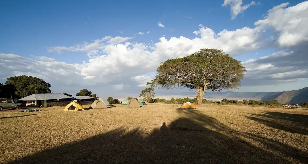
The only public campsite in the conservation area, 19 kilometres (11.8 mi) from Loduare Gate, a good 600 metres from the airstrip on the rim, for more than 200 people a night. US$35.40 per person per night for visitors from outside East Africa.
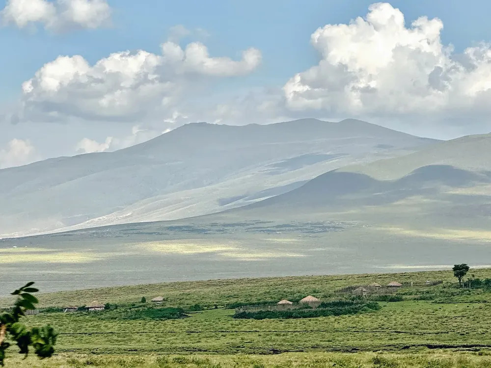
One of the official cultural bomas where visits and photos are allowed; entry according to the tariff list is US$20 per vehicle. Outside these villages, photographing residents is prohibited.
The fever tree forest on the southern edge of the floor, between Lake Magadi and the Lerai ascent. This is where the crater's old elephant bulls stand.
Mountains & rock · Picnic site in the crater, hippos
Ngoitokitok Springs
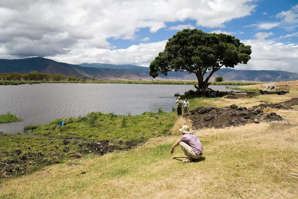
The spring-fed pool in the east of the floor, home to hippos, is the usual lunch stop on day trips. Picnics at designated sites are free; hot served meals need a permit per vehicle.
Mountains & rock · Shallow grassy crater, 6.5 km (4 mi), 3,080 m (10,105 ft)
Olmoti Crater
A shallow, grass-covered basin north of the Ngorongoro, named after the Maasai word for cooking pot. Only on foot with an armed ranger, with a view of Lolmalasin, the third-highest mountain in Tanzania.
Water · Crater lake with flamingos, rim up to 3,200 m (10,499 ft)
Empakaai Crater
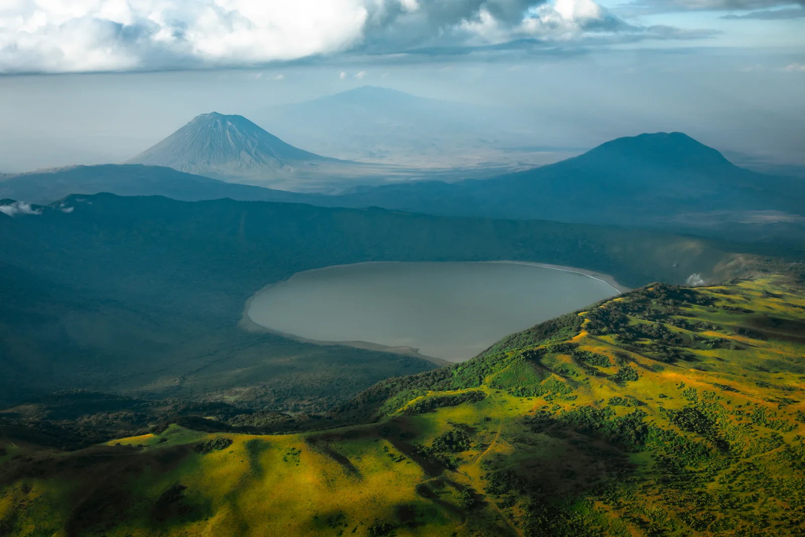
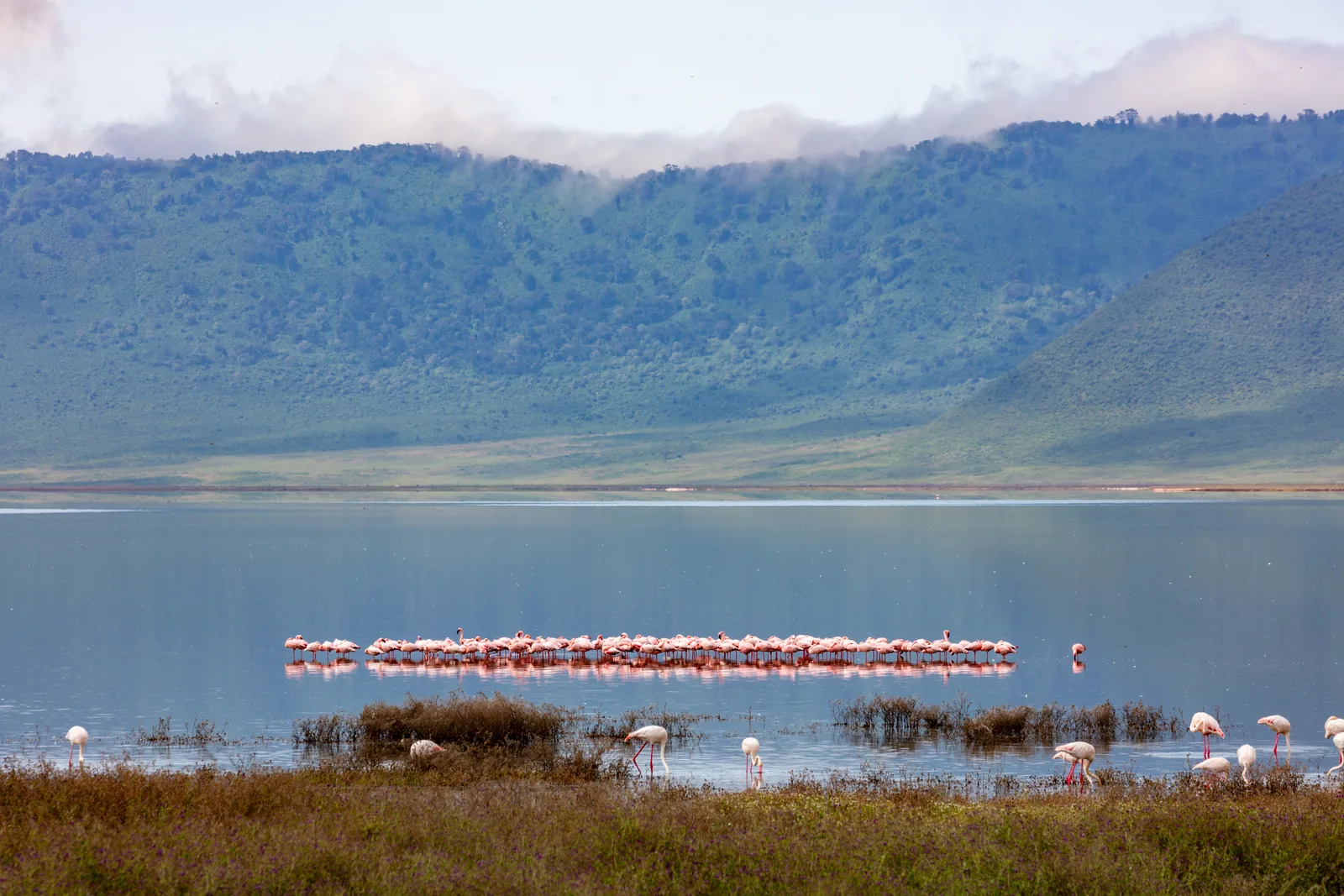
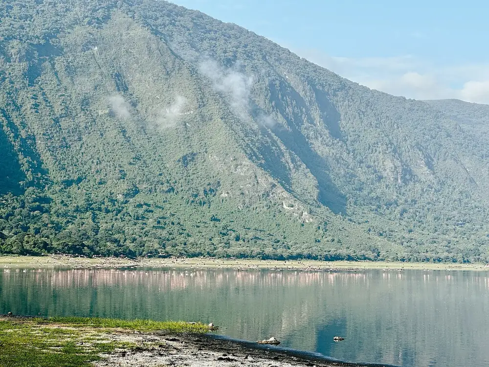
Eight kilometres (5 mi) across, half covered by a deep soda lake, with forested walls 300 metres (984 ft) high. The descent to the lake is a walk with a ranger; on clear days you can see Ol Doinyo Lengai from the rim.
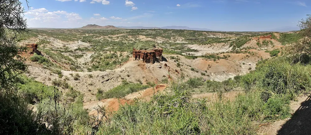
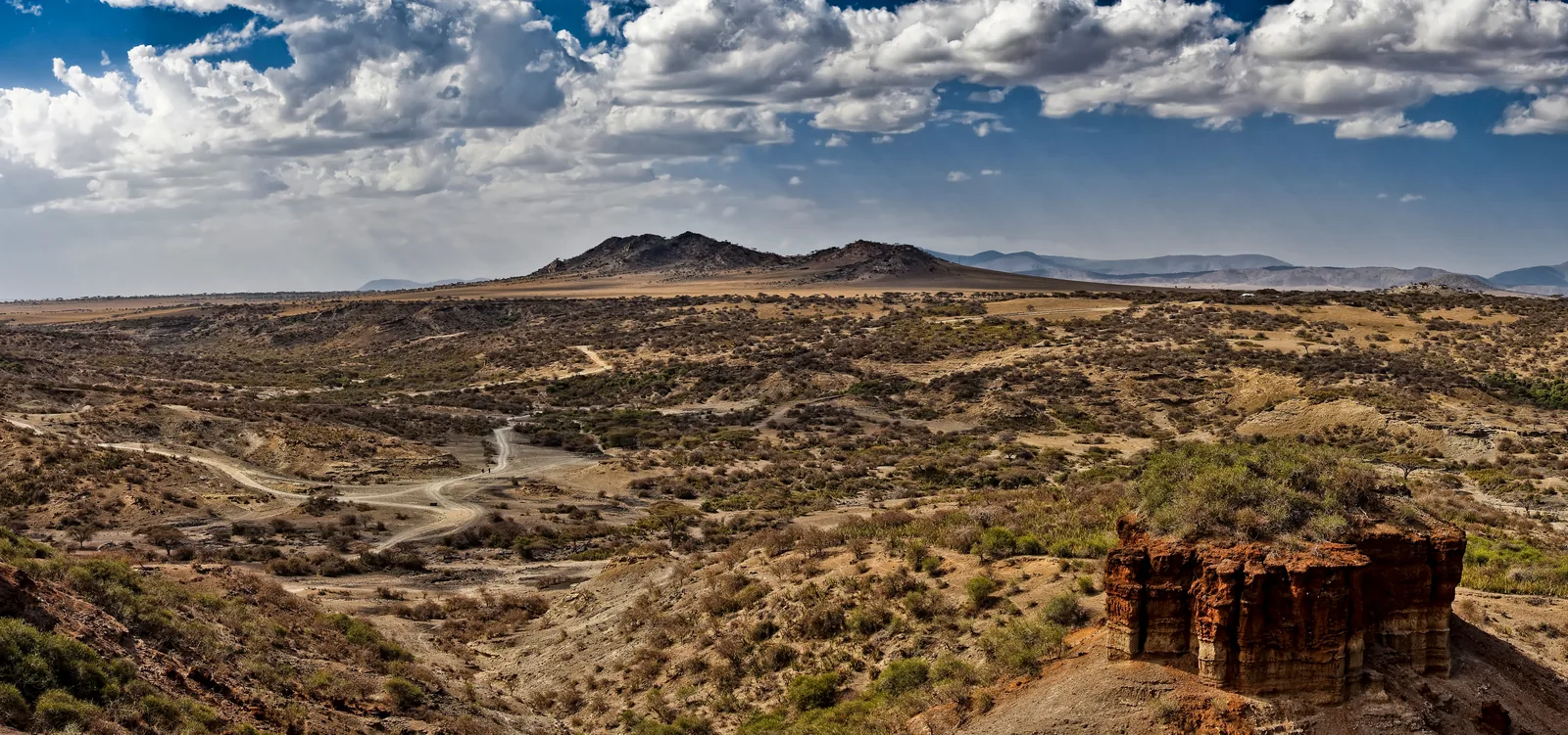
The gorge where Mary and Louis Leakey found Zinjanthropus, Homo habilis and Homo erectus from the 1930s onwards. World Heritage Site since 1979; a visit costs US$35.40 per person.
Six kilometres (3.7 mi) from the main road, where the main and side gorges meet: the museum opened in 2019, with fossils, tools and the history of the excavations.
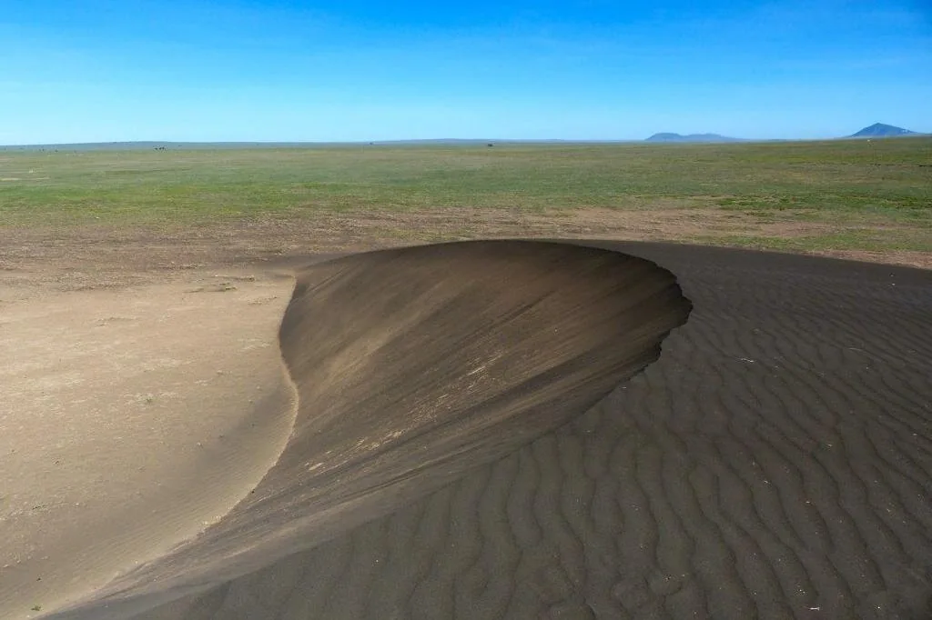
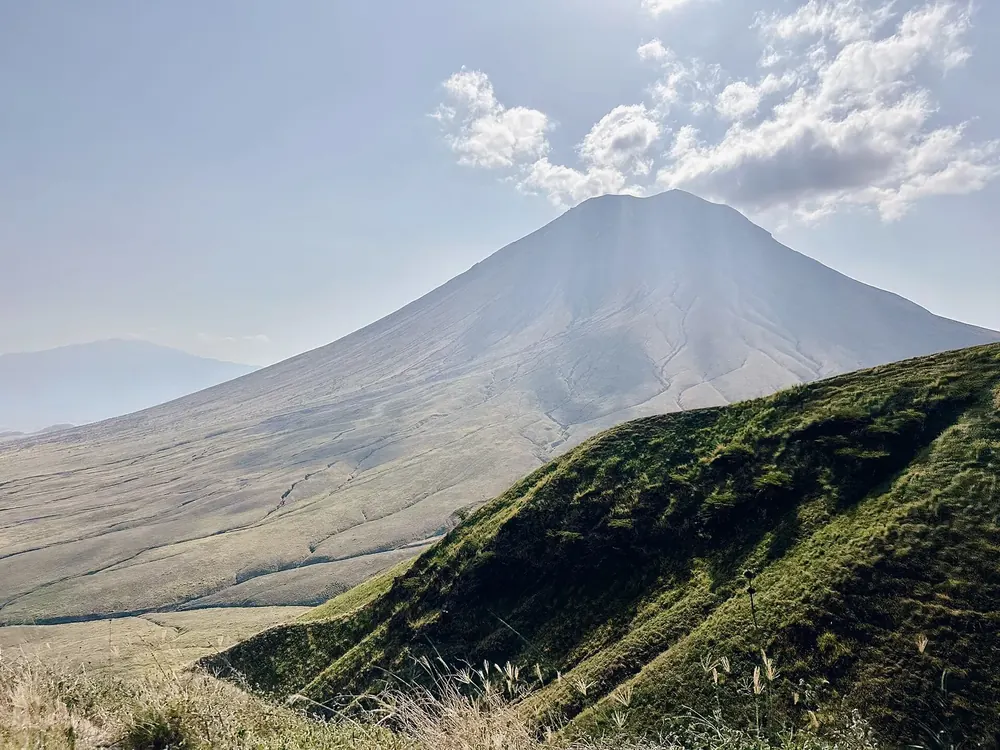
A crescent-shaped black dune of Lengai ash, five metres high, which moves 15 to 29 metres (49 to 95 ft) west every year. Twelve kilometres (7.5 mi) north-west of the museum.
The west of the conservation area holds the reason why it has also been cultural heritage since 2010.
Mountains & rock · Calving area of the migration, December to March
Lake Ndutu
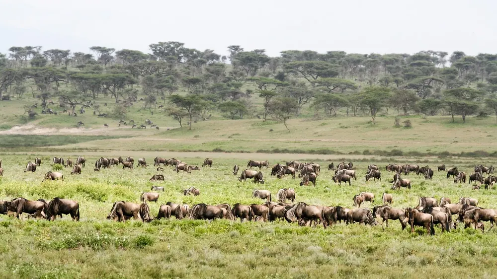
The Ndutu plains on the edge of the Serengeti are the calving ground of the wildebeest migration; the authority names late December to March as the best time. A lodge, two tented camps and the second airstrip are here.