National Parks Atlas
To the park
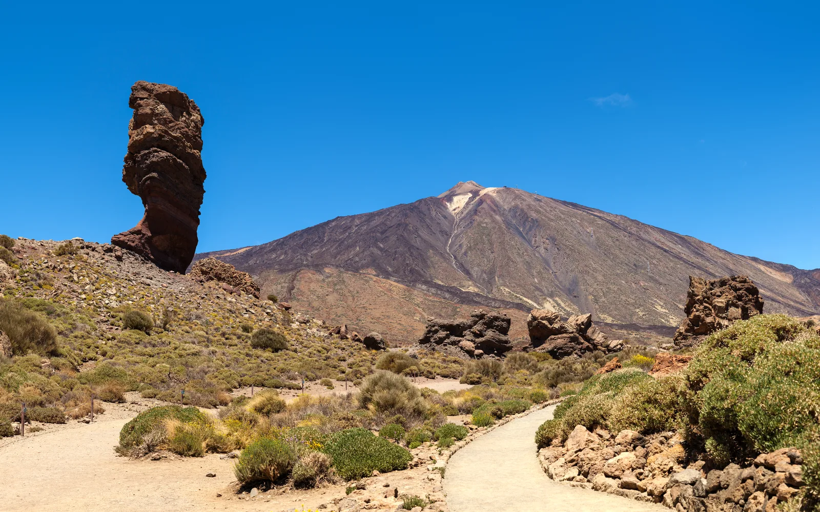
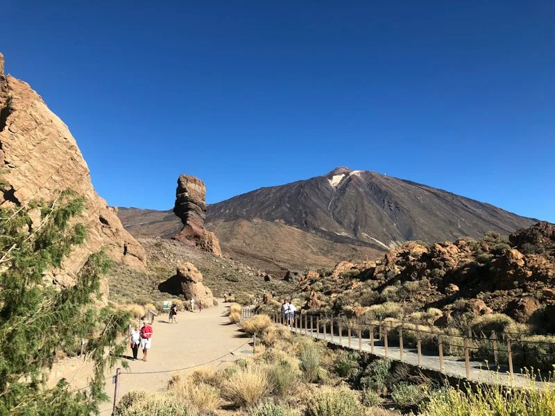
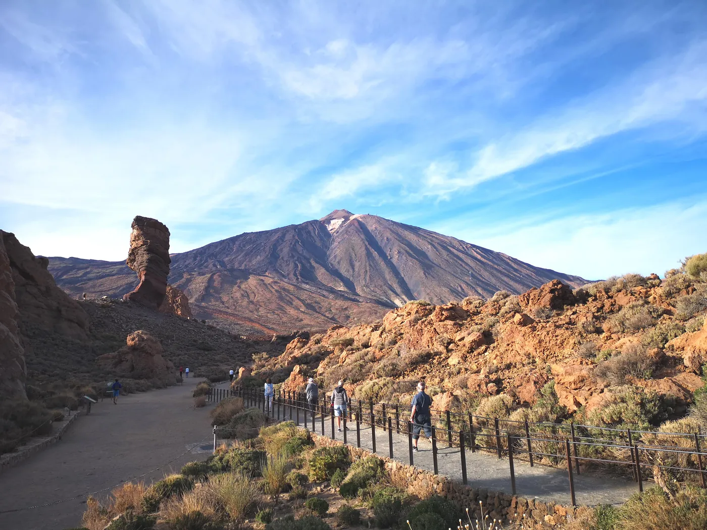
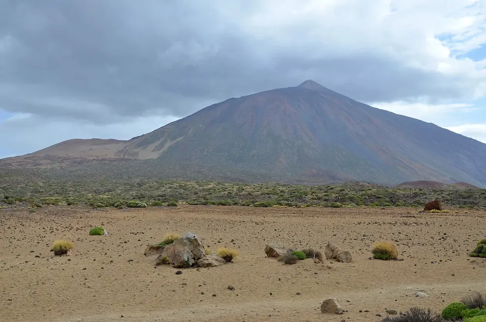
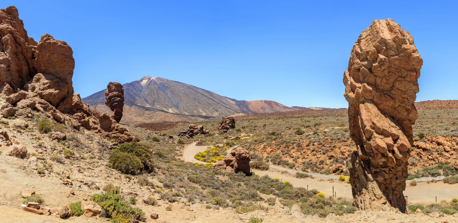
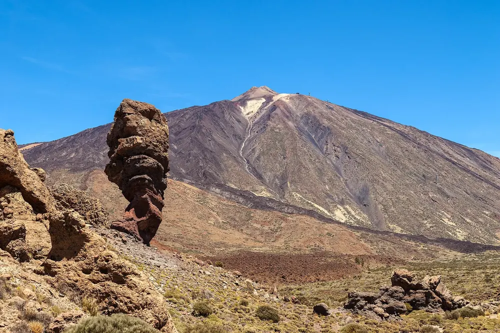
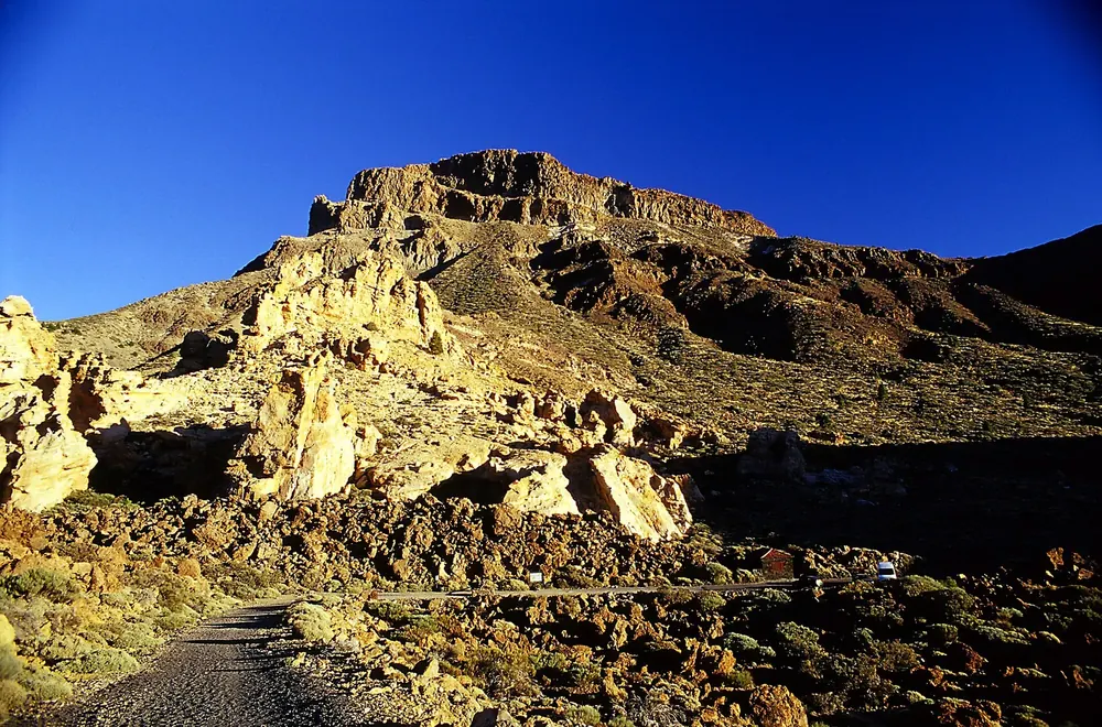
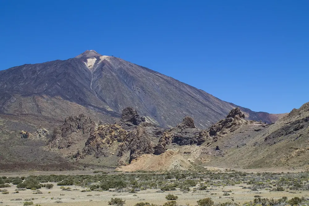
Roque Cinchado, a narrow rock pillar, in front of the cone of Mount Teide in Teide National Park, with the pale path through Las Cañadas in the foreground

Teide National Park: map

24 places with verified coordinates · 22 with photo

Bookable in the park · 11

Ad · partner links: we may earn a commission if you book. Offer details checked 27 Sep 2026; dates and prices with the provider.

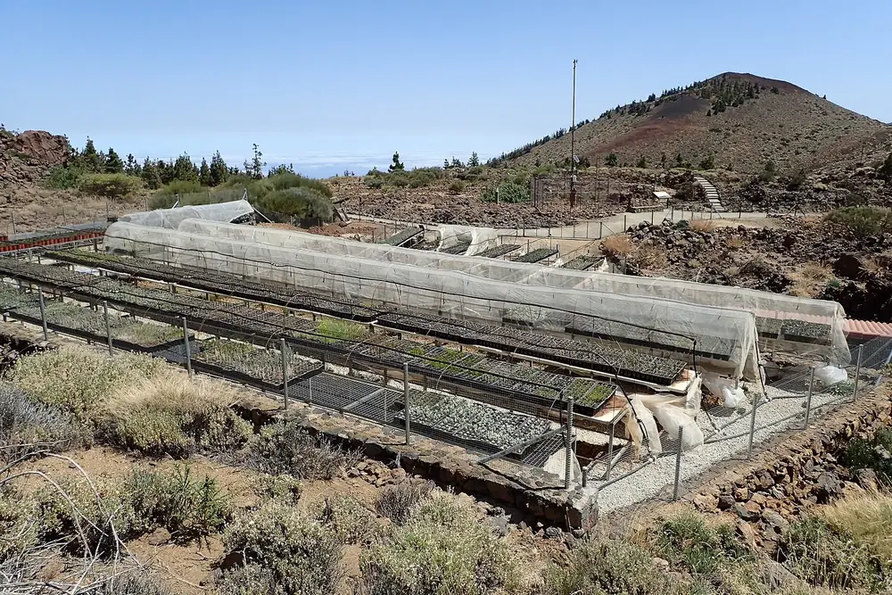
Botanical garden at the El Portillo visitor centre in Teide National Park: planting beds with net covers, a red volcanic cone behind
Photo: Krzysztof Ziarnek, Kenraiz ↗ · CC BY-SA 4.0 ↗

Arrival · Visitor centre, daily 9:00 to 16:15

Centro de Visitantes El Portillo

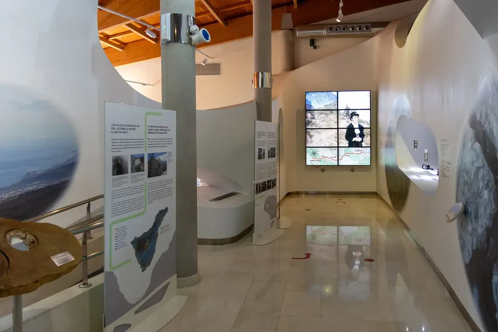
At the northern entrance on the TF-21, km 32.1: exhibitions on geology, flora and fauna, a cinema for 74 people and, next door, the botanical garden with over 1,000 metres (3,281 ft) of path, half of it step-free. Closed on 25 December, 1 January and 6 January.

Open in OpenStreetMap ↗Location source ↗

28.30457, -16.56662

Trails · Trail No. 2, loop from El Portillo

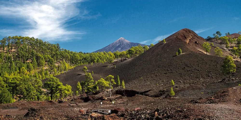
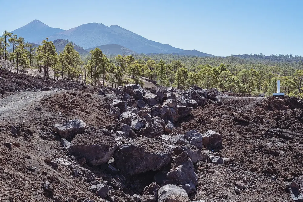
Arenas Negras

Black lapilli fields and the volcanic cones of the northern rim; one of the park authority's trails from the visitor centre.
Open in OpenStreetMap ↗Location source ↗

28.28975, -16.55073

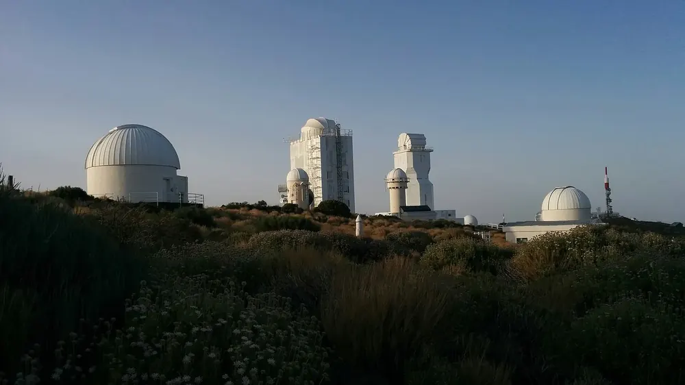
Observatorio del Teide in Teide National Park: white telescope domes and solar towers above broom bushes in the evening light
Photo: Vickybol ↗ · CC BY-SA 4.0 ↗

Nature · Izaña observatory, guided visits only

Observatorio del Teide

The observatory of the Instituto de Astrofísica de Canarias on the eastern edge of the park, at around 2,400 metres (7,874 ft). You can only visit in guided groups; the tours are sold by the cable car operator.

Guided from here · Ad

Partner links: we may earn a commission if you book. Dates and prices with the provider.

Open in OpenStreetMap ↗Location source ↗

28.30285, -16.51931

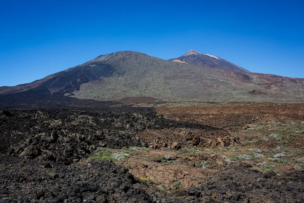
Pico del Teide and Montaña Blanca in Teide National Park above the barren Las Cañadas plateau under a deep blue sky
Photo: Jones suonatore ↗ · CC BY-SA 3.0 es ↗

Trails · Trailhead PNT 07, permit only

Montaña Blanca

From here trail PNT 07 leads to the Refugio de Altavista and on to La Rambleta: the classic ascent on foot. Since 2026 this trail also needs a timed reservation through Tenerife ON.

Guided from here · Ad

Partner links: we may earn a commission if you book. Dates and prices with the provider.

Open in OpenStreetMap ↗Location source ↗

28.26895, -16.61403

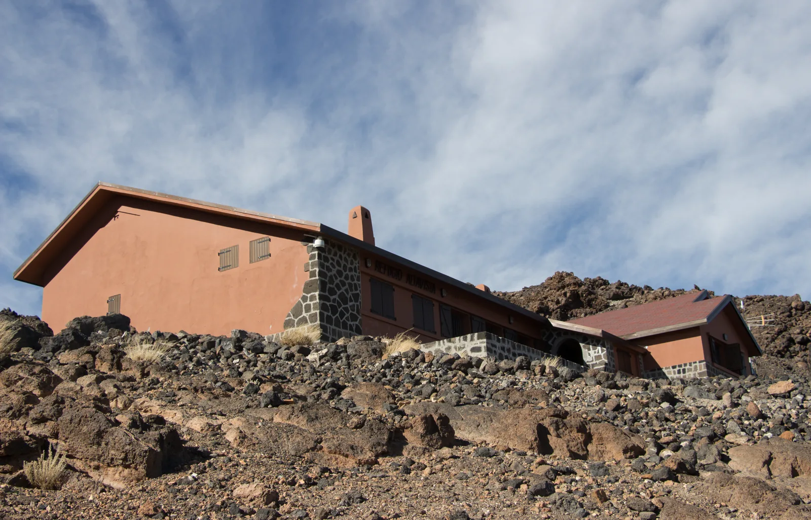
The red Refugio de Altavista in Teide National Park on dark lava ground under wisps of cloud, seen from the ascent trail over Montaña Blanca
Photo: Michal Klajban ↗ · CC BY-SA 4.0 ↗

Where to stay · Mountain hut at 3,260 m (10,696 ft), 49 beds

Refugio de Altavista

The only hut in the park: built in 1892, renovated in 2026, solar-powered, no showers, sleeping bag required. An overnight stay includes the permits for PNT 07 and PNT 10; you may climb to the summit the next morning between 6:00 and 9:00.

The only hut in the park, built in 1892, renovated in 2026, and the key to sunrise on the summit.

Elevation
3,260 m (10,696 ft)
Beds
49 in three dormitories
Check-in
15:00 to 24:00, summit 6:00 to 9:00
Permits
PNT 07 and PNT 10 included

Open in OpenStreetMap ↗Location source ↗

28.27414, -16.62938

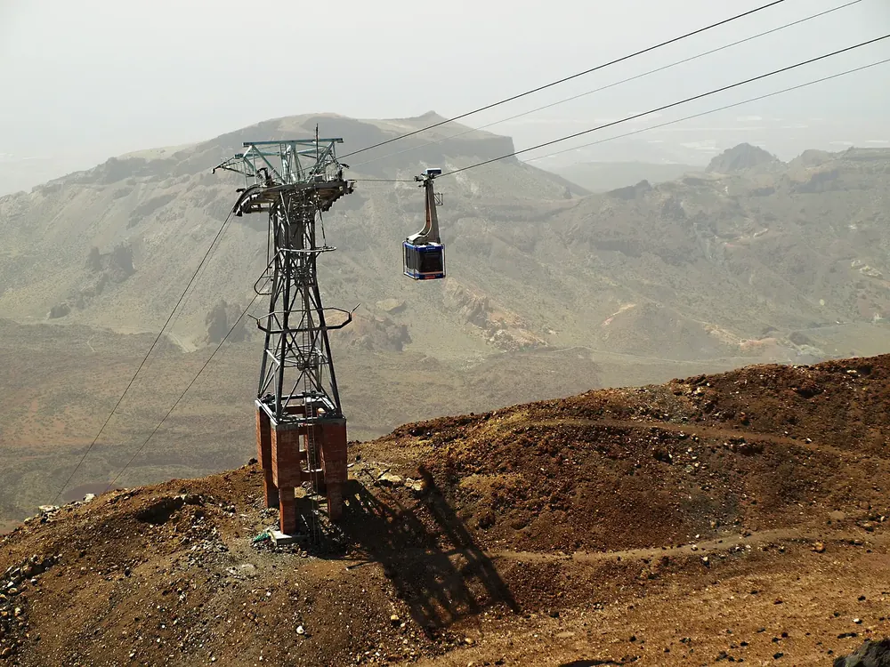
Teide cable car in Teide National Park near the lower station: steel pylon and cabin above the reddish-brown volcanic landscape
Photo: Olisacu ↗ · CC BY-SA 4.0 ↗

Nature · Cable car, 2,356 m (7,730 ft), on the TF-21 at km 43

Teleférico del Teide, lower station

Free car park, cafeteria, restaurant, shop and the “Science and Legend” exhibition. The cabins hold 44 people and take eight minutes to the top. Tickets online only; the car park is closed at night.

Guided from here · Ad

Partner links: we may earn a commission if you book. Dates and prices with the provider.

Open in OpenStreetMap ↗Location source ↗

28.25455, -16.62602

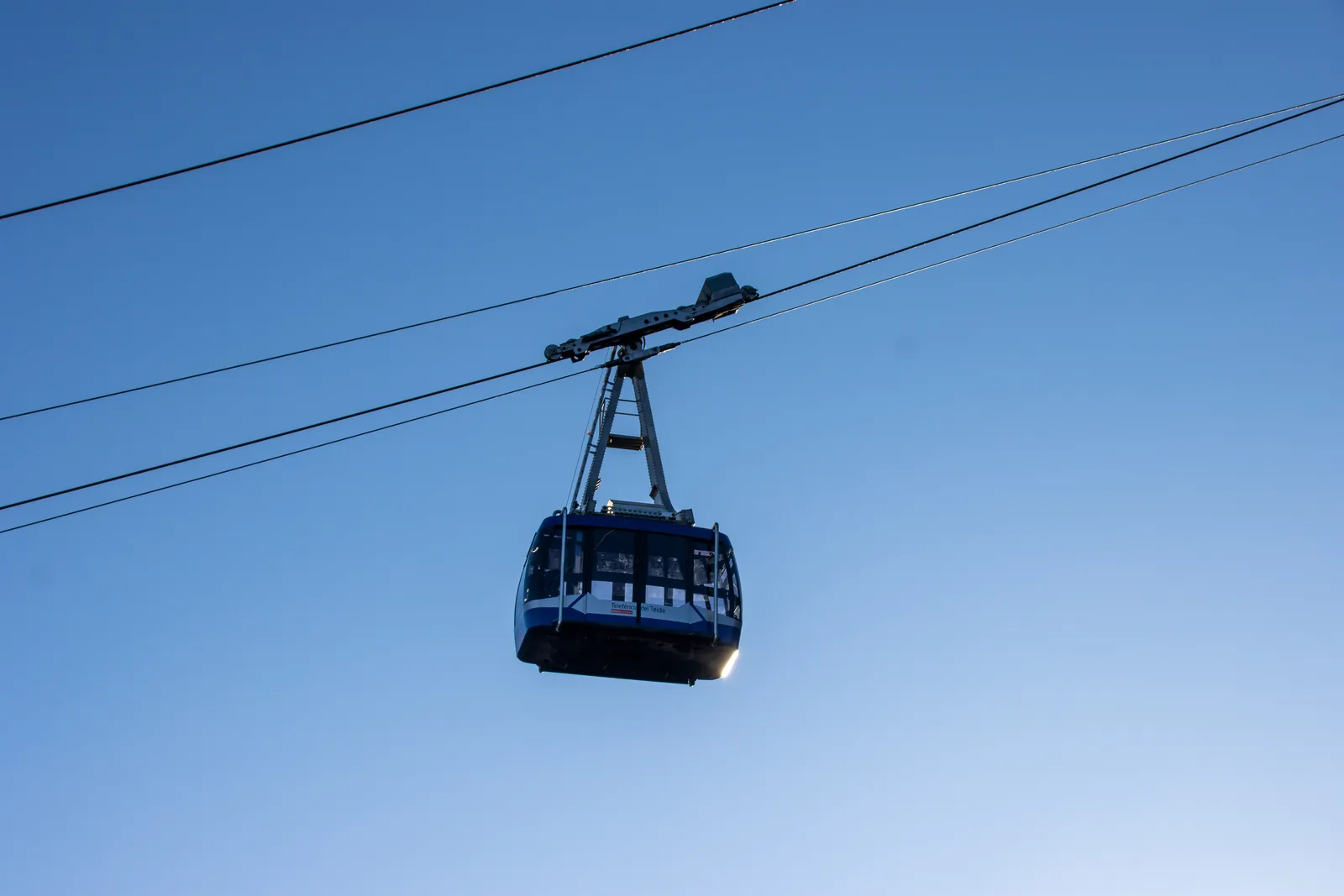
A Teide cable car cabin in Teide National Park hanging from its cable against a blue sky
Photo: Mike Peel (www.mikepeel.net) ↗ · CC BY-SA 4.0 ↗

Mountains & rock · Top station, 3,555 m (11,663 ft)

La Rambleta

No cafeteria, but Wi-Fi, toilets and the highest public telephone in Spain. Three trails start here: No. 10 to the crater (permit only), No. 11 to the Mirador de la Fortaleza, No. 12 to the Mirador de Pico Viejo.

Eight minutes from 2,356 to 3,555 metres (7,730 to 11,663 ft), and at the top the altitude begins.

Price
€42 return, children €21
Hours
from 9:00, last ride up between 16:00 and 17:40 depending on the season
Cabin
44 people
Trails at the top
No. 10, 11 and 12

Open in OpenStreetMap ↗Location source ↗

28.27369, -16.63898

Mountains & rock · Ice cave near trail No. 11

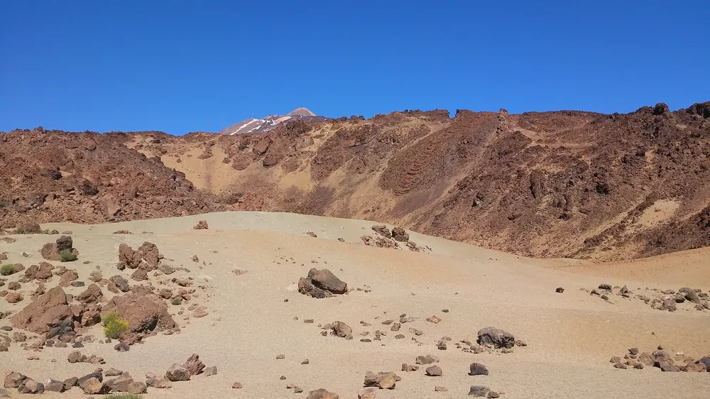
Cueva del Hielo

A lava tube where ice survives; you cannot go inside.
Open in OpenStreetMap ↗Location source ↗

28.27468, -16.63315

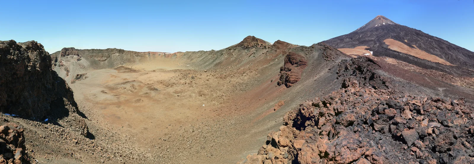
Panorama from the ridge in Teide National Park: the wide, colourful crater of Pico Viejo on the left, the summit cone of Teide on the right
Photo: Ingo Mehling ↗ · CC BY-SA 4.0 ↗

Mountains & rock · Summit, over 3,700 m (12,139 ft), permit only

Pico del Teide

The highest point in Spain, at the end of trail PNT 10 Telesforo Bravo: 660 metres (0.4 mi) of path, 182 metres (597 ft) of ascent, gradients of up to 60 percent and the smell of sulphur from the fumaroles. Access only in your booked time slot; walking around the crater or entering it is prohibited.
The second summit, the last eruption and a viewpoint almost anyone can reach without a permit.

Elevation
3,104 m (10,184 ft)
Crater
800 m (2,625 ft) across
Eruption
1798, three months, 12 million m³ of lava
Trail PNT 09
permit only

Guided from here · Ad

Partner links: we may earn a commission if you book. Dates and prices with the provider.

Open in OpenStreetMap ↗Location source ↗

28.27269, -16.64227

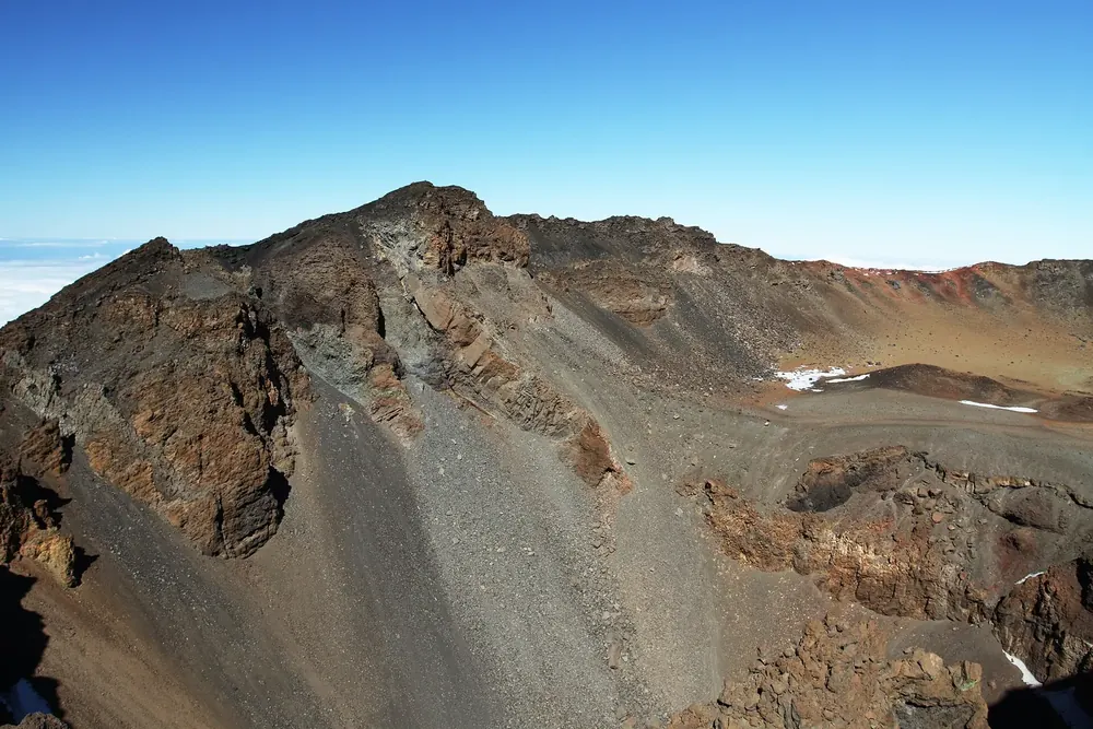
Crater of Pico Viejo in Teide National Park: steep crater walls banded brown and red, with scree slopes and remnants of snow
Photo: Chmee2 ↗ · CC BY-SA 3.0 ↗

Mountains & rock · Volcano, 3,104 m (10,184 ft), crater 800 m wide

Pico Viejo

The second summit of the twin volcano. Trail No. 12 from the top station ends at the viewpoint above the colourful crater; trail PNT 09 over the mountain needs a permit.

Open in OpenStreetMap ↗Location source ↗

28.26392, -16.66467

The Roques de García rock group in Teide National Park with Roque Cinchado and Roque Torrotito, Teide behind them under a blue sky
Photo: H. Zell ↗ · CC BY-SA 3.0 ↗

Nature · Plain below the Roques

Llano de Ucanca

The wide sediment plain south of the Roques de García, crossed by trail PNT 03. From the viewpoints on the TF-21, the view across the plain to the caldera wall is one of the best known in the park.

A loop trail with no reservation, around the rocks opposite the Parador and down to the Ucanca plain.

Trail
PNT 03, loop, first section step-free
Difficulty
easy according to Tenerife ON, moderate according to the park authority
Length
3.47 km (2.2 mi), 1 h 55 according to Tenerife ON; 3.6 km (2.2 mi), 2 h according to the park authority
Start
Car park at the Parador, bus stop
Visitor centre
Cañada Blanca, 9:00 to 16:00

Open in OpenStreetMap ↗Location source ↗

28.21752, -16.63741

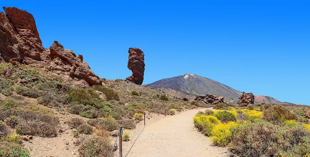
Roques de García in Teide National Park with Roque Cinchado, Teide behind, a hiking trail and yellow-flowering broom in front
Photo: H. Zell ↗ · CC BY-SA 3.0 ↗

Mountains & rock · Rock formations, trail PNT 03, loop

Roques de García

Roque Cinchado, Torrotito and La Catedral: remains of a wall that withstood erosion. The PNT 03 loop starts with a step-free section, then leads down to the Ucanca plain and back. The park authority's home page rates it moderate; the trail sheet on Tenerife ON rates it easy.

Guided from here · Ad

Partner links: we may earn a commission if you book. Dates and prices with the provider.

Open in OpenStreetMap ↗Location source ↗

28.22637, -16.63464

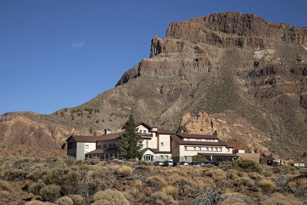
Parador de Las Cañadas del Teide in Teide National Park: hotel building at the foot of the rugged rock faces of Alto de Guajara
Photo: Paradores ↗ · CC BY-SA 4.0 ↗

Where to stay · Hotel in the park, bus stop, car park

Parador de Las Cañadas del Teide

The only place to stay in the park apart from the mountain hut; a stop on bus lines 342 and 348 and the terminus of the 348. Next door is the Cañada Blanca visitor centre, open daily 9:00 to 16:00, on the culture of the Guanches and the shepherds.

Open in OpenStreetMap ↗Location source ↗

28.22442, -16.62697

Locations verified from the linked original sources and OpenStreetMap. The map shows no trails or park boundaries; markers do not imply that access is permitted.

Map: © OpenStreetMap contributors, OpenMapTiles, OpenFreeMap. Elevation: Terrain Tiles (Mapzen, AWS Open Data); 3DEP, GMTED2010 and SRTM courtesy of the U.S. Geological Survey; EU-DEM (Copernicus, European Union); ETOPO1 (NOAA); ArcticDEM (NSF, DigitalGlobe); Geoscience Australia; Open Data Austria (DGM); Open Government Licence – Canada; INEGI; Land Information New Zealand; Kartverket; Environment Agency (UK).

Park photo: Photo: Thomas Wolf, www.foto-tw.de ↗ · CC BY-SA 3.0 de ↗

Loading map …