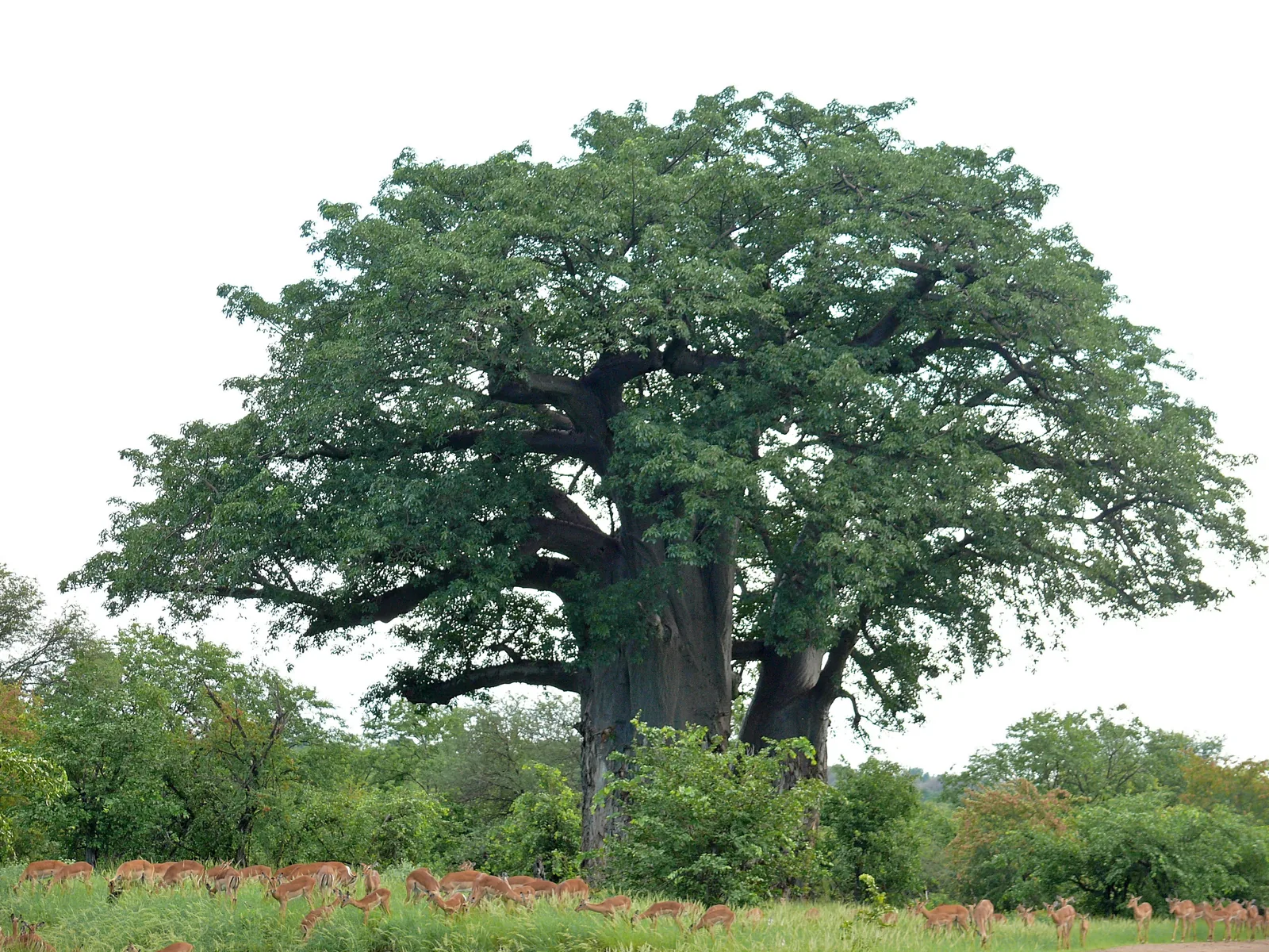
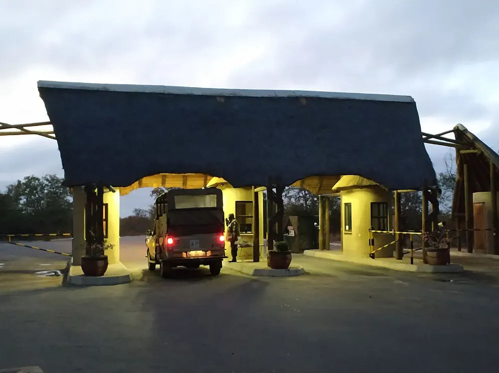
All places Photo: flowcomm ↗ · CC BY 2.0 ↗
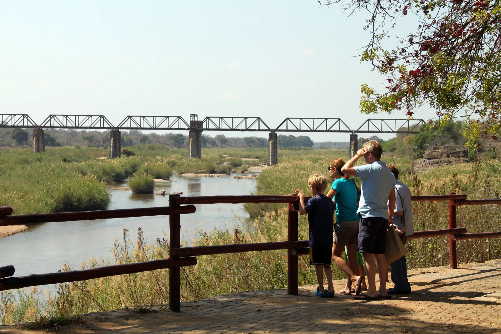
Skukuza The largest rest camp in the park, on the Sabie River, and also its administrative centre. With a shop, filling station, restaurant, information centre and first-aid post.
The largest rest camp and the park's administrative centre, on the Sabie River.
Coordinates −24.993610, 31.591439
Type Main camp with information centre
On site Shop, filling station, restaurant, first aid
Special feature Golf course and day-visitor area with swimming pool
Nearest gate Paul Kruger Gate, around 12 km (7.5 mi) to the west Add to your Kruger National Park visit Open in OpenStreetMap ↗ Location source ↗
-24.99361, 31.59144
All places Photo: Dietmar Rabich ↗ · CC BY-SA 4.0 ↗
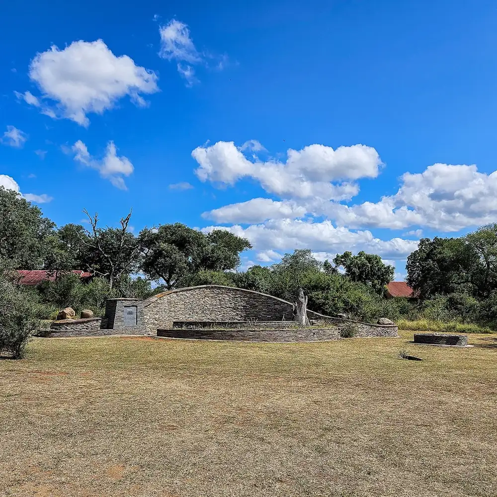
Paul Kruger Gate The gate west of Skukuza, reached via Hazyview: one of the most used in the park.
Add to your Kruger National Park visit Open in OpenStreetMap ↗ Location source ↗
-24.98106, 31.48485
All places Photo: Pavel Špindler ↗ · CC BY 3.0 ↗
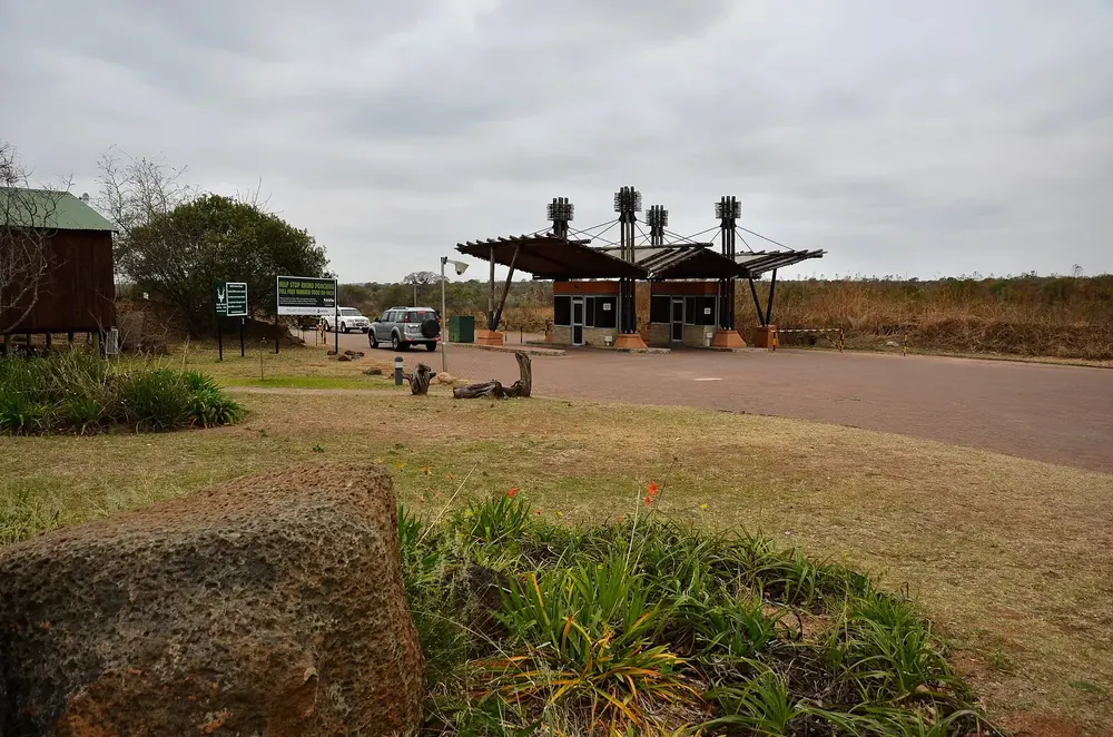
Phabeni Gate The gate near Hazyview, where many guided day tours into the park start.
Guided from here · Ad
Partner links: we may earn a commission if you book. Dates and prices with the provider.
Add to your Kruger National Park visit Open in OpenStreetMap ↗ Location source ↗
-25.02507, 31.24193
All places
Numbi Gate South-western gate towards Pretoriuskop and Nelspruit.
Add to your Kruger National Park visit Open in OpenStreetMap ↗ Location source ↗
-25.15531, 31.19791
All places
Malelane Gate The southernmost gate, on the N4 near the border with Eswatini.
Add to your Kruger National Park visit Open in OpenStreetMap ↗ Location source ↗
-25.46229, 31.53231
All places Photo: Chris Eason from London ↗ · CC BY 2.0 ↗
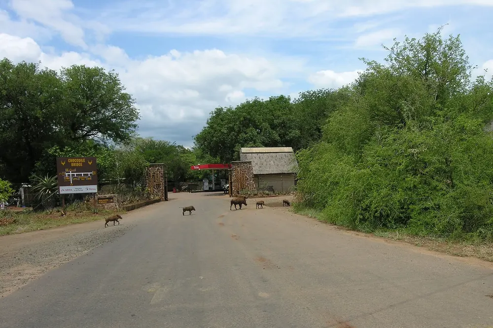
Crocodile Bridge South-eastern gate with a small rest camp, known for rhino sightings in the area.
Guided from here · Ad
Partner links: we may earn a commission if you book. Dates and prices with the provider.
Add to your Kruger National Park visit Open in OpenStreetMap ↗ Location source ↗
-25.35833, 31.89391
All places Photo: Bernard DUPONT from FRANCE ↗ · CC BY-SA 2.0 ↗
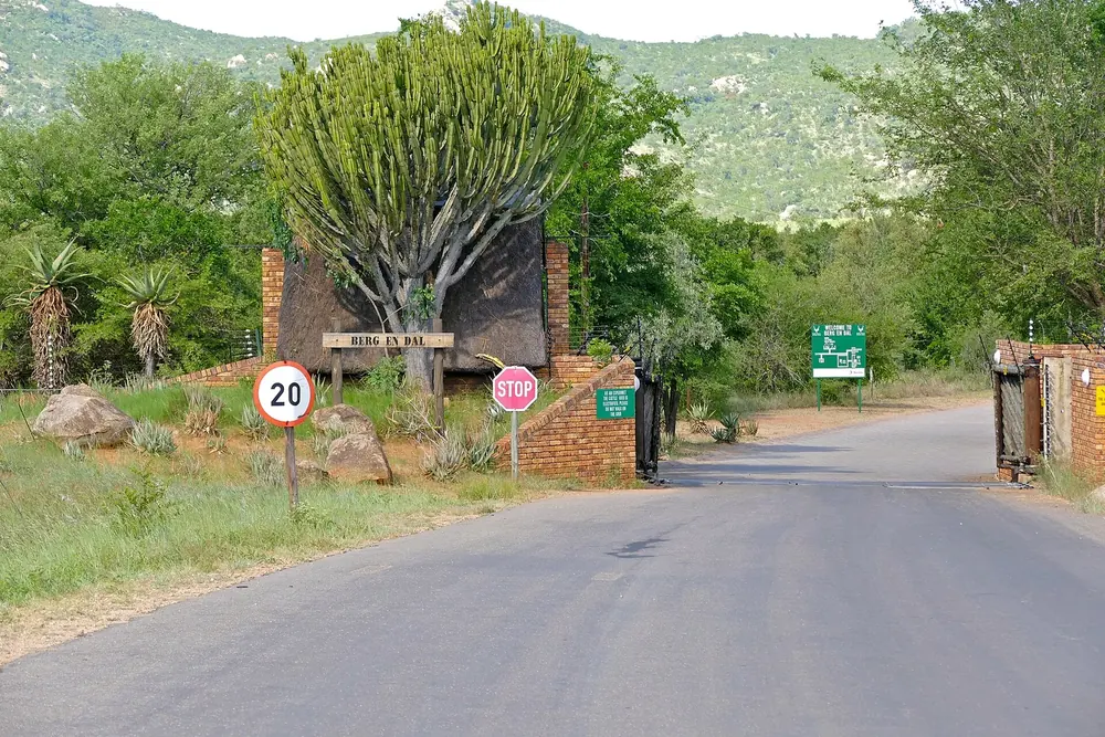
Berg-en-Dal Camp in hilly country in the south, one of the newer camps in the park.
Add to your Kruger National Park visit Open in OpenStreetMap ↗ Location source ↗
-25.42626, 31.44746
All places Photo: Chris Eason from London ↗ · CC BY 2.0 ↗
Pretoriuskop The oldest rest camp in the park, in the wetter south-west.
Add to your Kruger National Park visit Open in OpenStreetMap ↗ Location source ↗
-25.17125, 31.26845
All places Photo: Bernard DUPONT ↗ · CC BY-SA 2.0 ↗
Lower Sabie Camp right on the Sabie River, one of the most popular places for watching wildlife from inside the camp.
A camp on the river: the animals come to the water, so you do not have to drive after them.
Coordinates −25.120192, 31.916750
Type Main camp on the Sabie River
Nearest gate Crocodile Bridge to the south
Known for Game viewing from the terrace
On site Shop, restaurant, filling station Add to your Kruger National Park visit Open in OpenStreetMap ↗ Location source ↗
-25.12019, 31.91675
All places Photo: Chris Eason ↗ · CC BY 2.0 ↗
Satara Camp in the open savannah of the central park, the area known for predators. One of the SANParks webcams is here.
In the middle of the open savannah: the area where people look for lions.
Coordinates −24.393699, 31.777559
Type Main camp with Balule satellite camp
Landscape open savannah with marula and knob thorn
Webcam one of the five SANParks cameras in the park
Nearest gate Orpen Gate to the west Add to your Kruger National Park visit Open in OpenStreetMap ↗ Location source ↗
-24.39370, 31.77756
All places
Orpen Gate Western gate level with Satara, with its own small camp and a webcam.
Add to your Kruger National Park visit Open in OpenStreetMap ↗ Location source ↗
-24.48134, 31.39042
All places Photo: Chris Eason from London ↗ · CC BY 2.0 ↗
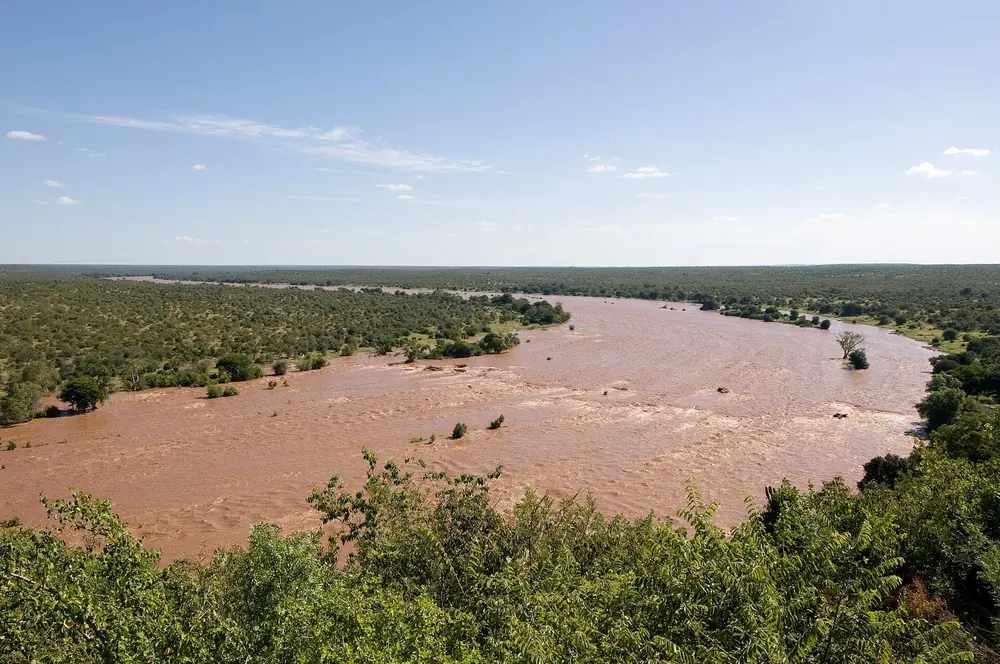
Olifants Camp on a ridge high above the Olifants River: the view from the fence reaches far into the valley.
Add to your Kruger National Park visit Open in OpenStreetMap ↗ Location source ↗
-24.00506, 31.73950
All places Photo: Diego Delso ↗ · CC BY-SA 4.0 ↗
Letaba Camp on the Letaba River with the Elephant Hall, a museum about the park's great bulls.
A camp on the Letaba River, and the museum about the park's great bulls.
Coordinates −23.854380, 31.576671
Type Main camp with information centre
Special feature Elephant Hall with the tusks of the "Magnificent Seven"
Landscape Mopane bushveld on the river
Nearest gate Phalaborwa Gate to the west Add to your Kruger National Park visit Open in OpenStreetMap ↗ Location source ↗
-23.85438, 31.57667
All places Photo: Bjørn Christian Tørrissen ↗ · CC BY-SA 4.0 ↗
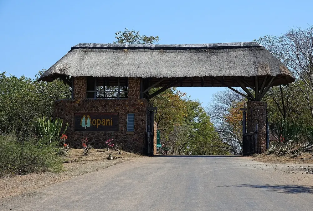
Mopani Camp in the mopane bushveld of the north, on Pioneer Dam.
Add to your Kruger National Park visit Open in OpenStreetMap ↗ Location source ↗
-23.51951, 31.39664
All places Photo: Chris Eason from London ↗ · CC BY 2.0 ↗
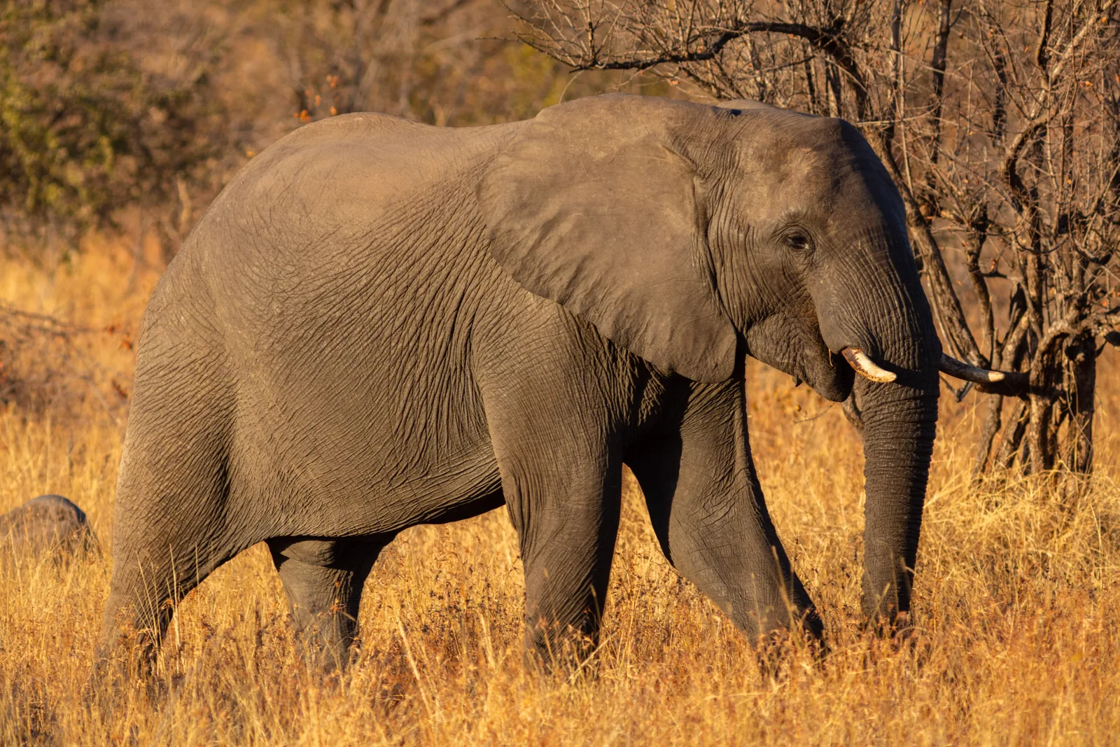
Shingwedzi Camp in the sparsely visited north, known for old elephant bulls.
Add to your Kruger National Park visit Open in OpenStreetMap ↗ Location source ↗
-23.10913, 31.43410
All places Photo: Bernard DUPONT ↗ · CC BY-SA 2.0 ↗
Punda Maria The northernmost large rest camp, in the most species-rich corner of the park. There is a webcam here too.
The wildest and least accessible part of the park, according to the park authority.
Coordinates −22.691870, 31.016586
Type northernmost large rest camp
Landscape Sandveld, mopane, scattered baobabs
Nearest gate Punda Maria Gate, Pafuri Gate to the north
Note late arrivals are not possible at Pafuri Add to your Kruger National Park visit Open in OpenStreetMap ↗ Location source ↗
-22.69187, 31.01659
All places Photo: Entropy1963 ↗ · Public Domain ↗
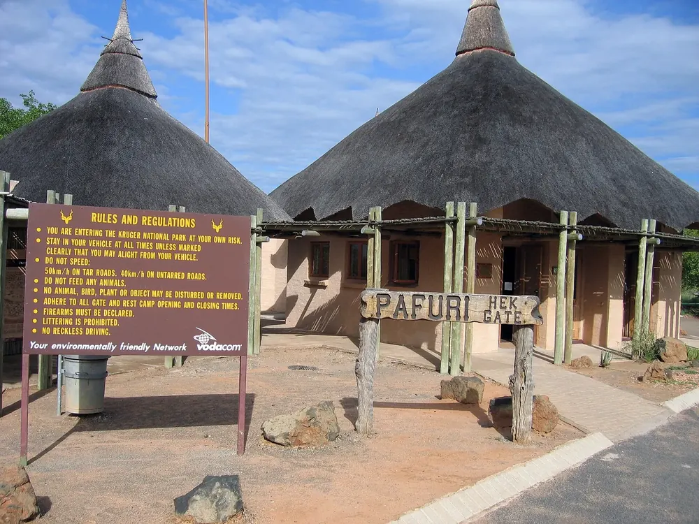
Pafuri Gate The northernmost gate, near the point where Zimbabwe, Mozambique and South Africa meet. Late arrivals are explicitly not possible here.
Add to your Kruger National Park visit Open in OpenStreetMap ↗ Location source ↗
-22.39987, 31.04132
All places Photo: Marcmiquel ↗ · CC BY-SA 4.0 ↗
Phalaborwa Gate Western gate at the town of Phalaborwa, giving access to the central section of the park.
Add to your Kruger National Park visit Open in OpenStreetMap ↗ Location source ↗
-23.94571, 31.16607
All places
Punda Maria Gate The gate in the north-west, giving access to Punda Maria rest camp and on to Pafuri. The camp is around five kilometres away as the crow flies.
Add to your Kruger National Park visit Open in OpenStreetMap ↗ Location source ↗
-22.73728, 31.01044
All places
Skukuza Airport The airport lies inside the park, just under four kilometres north of Skukuza rest camp as the crow flies. According to SANParks there are daily scheduled flights from Johannesburg and Cape Town; private aircraft need landing permission.
How to get there: nine Kruger gates and which one to use
Flying right into the park There are daily flights from Johannesburg to Skukuza, Phalaborwa and Hoedspruit and to Kruger Mpumalanga International Airport between Nelspruit and White River; you can also fly direct to Skukuza from Cape Town. Skukuza Airport lies inside the park itself. Hire cars are available at KMIA, Hoedspruit and Phalaborwa airports and at Skukuza camp.
SANParks: how to get there ↗
Guided from here · Ad
Partner links: we may earn a commission if you book. Dates and prices with the provider.
Add to your Kruger National Park visit Open in OpenStreetMap ↗ Location source ↗
-24.96148, 31.58907
All places
Tshokwane Picnic site on the H1-3, roughly halfway between Skukuza and Satara and between Lower Sabie and Satara. A concessionaire runs a shop and snack bar; gas braais can be hired.
Add to your Kruger National Park visit Open in OpenStreetMap ↗ Location source ↗
-24.78619, 31.85892
All places
Nkuhlu Picnic site on the H4-1 between Skukuza and Lower Sabie, right on the Sabie River under large Natal mahogany trees. Crocodiles lie in the shallow water in front; a concessionaire runs a shop and snack bar.
Add to your Kruger National Park visit Open in OpenStreetMap ↗ Location source ↗
-24.99679, 31.76936
All places
Afsaal Picnic site on the H3 between Skukuza and Malelane, with a small shop.
Add to your Kruger National Park visit Open in OpenStreetMap ↗ Location source ↗
-25.28685, 31.53200
All places
N’wanetsi Picnic site at the end of the H6, around 25 kilometres (15.5 mi) from Satara. SANParks calls the viewpoint here spectacular.
Add to your Kruger National Park visit Open in OpenStreetMap ↗ Location source ↗
-24.45786, 31.97609
All places
Masorini Around ten kilometres east of Phalaborwa Gate on the H9: a picnic site with the ruins of an archaeological site and an exhibition.
Add to your Kruger National Park visit Open in OpenStreetMap ↗ Location source ↗
-23.92150, 31.26675
All places
Pafuri picnic site On the Levuvhu River on the S63, a few kilometres before Crook’s Corner, where three countries meet. SANParks calls the area a birders' paradise; the site attendant keeps a list of more than 200 species.
Add to your Kruger National Park visit Open in OpenStreetMap ↗ Location source ↗
-22.42281, 31.24747
All places
Biyamiti Bush camp in the south, for booked guests only, with no shop or restaurant. One of three bush camps where electrical appliances such as hair dryers can be used; shared freezer.
Add to your Kruger National Park visit Open in OpenStreetMap ↗ Location source ↗
-25.30742, 31.71088
All places
Talamati Bush camp in the centre of the park, for booked guests only. Power for hair dryers and the like, shared freezer; one of the SANParks webcams is here too.
Add to your Kruger National Park visit Open in OpenStreetMap ↗ Location source ↗
-24.55598, 31.55717
All places
Shimuwini Bush camp in the north, for booked guests only, with no shop or restaurant. Shared freezer; mobile phones can be charged at reception.
Add to your Kruger National Park visit Open in OpenStreetMap ↗ Location source ↗
-23.71476, 31.26483
All places
Sirheni Bush camp in the north, around 14 kilometres (8.7 mi) from Babalala picnic site. Shared freezer; mobile phones can be charged at reception.
Add to your Kruger National Park visit Open in OpenStreetMap ↗ Location source ↗
-22.94678, 31.22130
All places
Bateleur Bush camp in the north, for booked guests only, with no shop or restaurant. One of the three bush camps where hair dryers and other electrical appliances can be used.
Add to your Kruger National Park visit Open in OpenStreetMap ↗ Location source ↗
-23.23396, 31.20224